The best cycling routes around Unterweißenbach
4.5
(16)
270
riders
29
rides
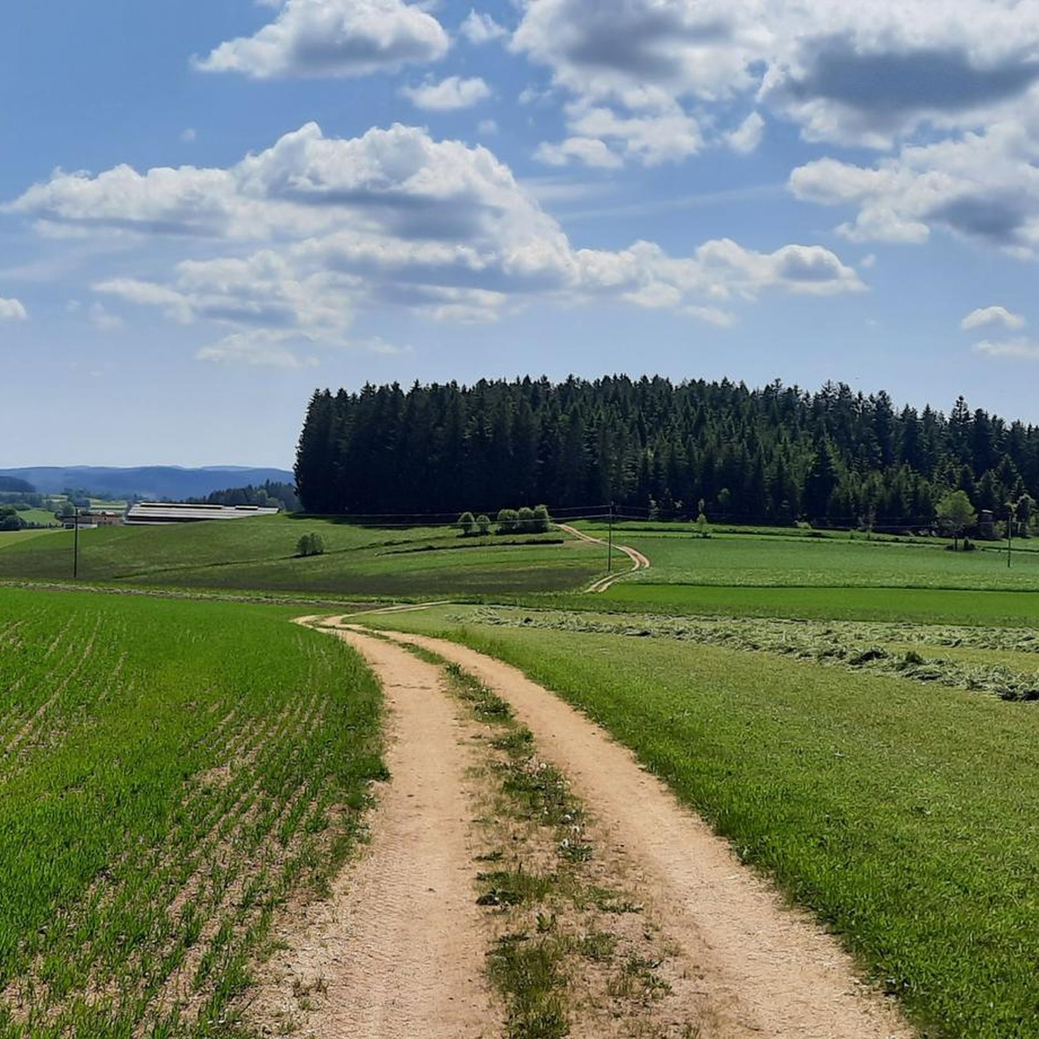
Touring cycling routes around Unterweißenbach traverse the scenic Mühlviertel region of Upper Austria, characterized by rolling hills, dense forests, and agricultural lands. The terrain offers a mix of mostly paved surfaces with some unpaved segments, catering to various cycling preferences. Cyclists can encounter impressive granite rock formations and enjoy panoramic views across the hilly landscape. The area provides diverse physical features for touring cyclists.
Best touring cycling routes around Unterweißenbach
- The most popular touring cycling route is Johannesweg Hut –…
Last updated: October 18, 2026
3.8
(4)
51
riders
40.7km
03:32
1,160m
1,160m
Hard bike ride. Very good fitness required. Mostly paved surfaces. Suitable for all skill levels.
4.0
(1)
11
riders
30.9km
02:10
590m
590m
Hard bike ride. Very good fitness required. Mostly paved surfaces. Suitable for all skill levels.

8
riders
28.5km
01:55
450m
450m
Moderate bike ride. Good fitness required. Mostly paved surfaces. Suitable for all skill levels.
7
riders
18.8km
01:28
470m
470m
Hard bike ride. Very good fitness required. Mostly paved surfaces. Suitable for all skill levels.
10
riders
23.9km
01:53
540m
540m
Hard bike ride. Very good fitness required. Mostly paved surfaces. Suitable for all skill levels.
Get access to more routes and recommendations from other explorers.
Already have an account?
Our route recommendations are based on thousands of hikes, rides, and runs completed by other people on komoot.
Start today with a free account
Your next adventure awaits.
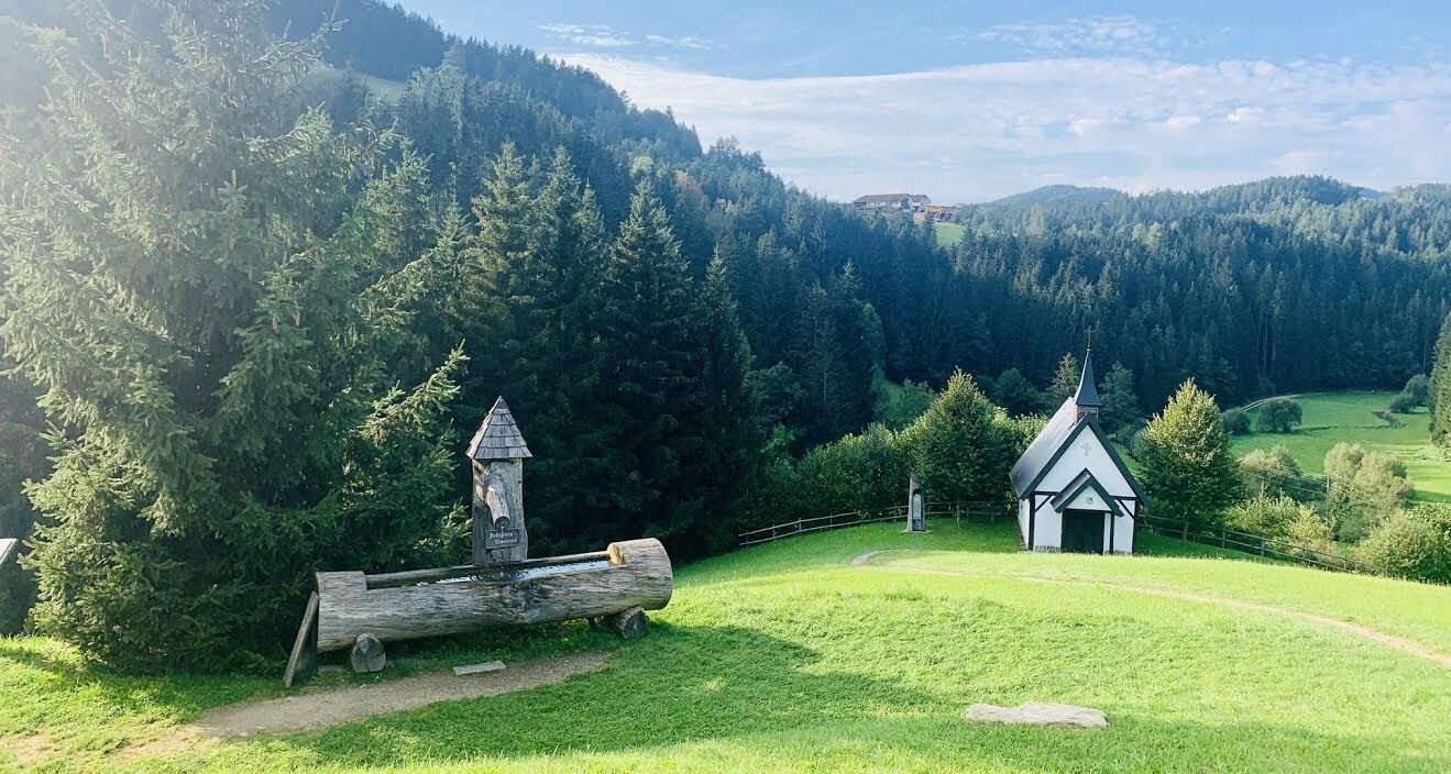
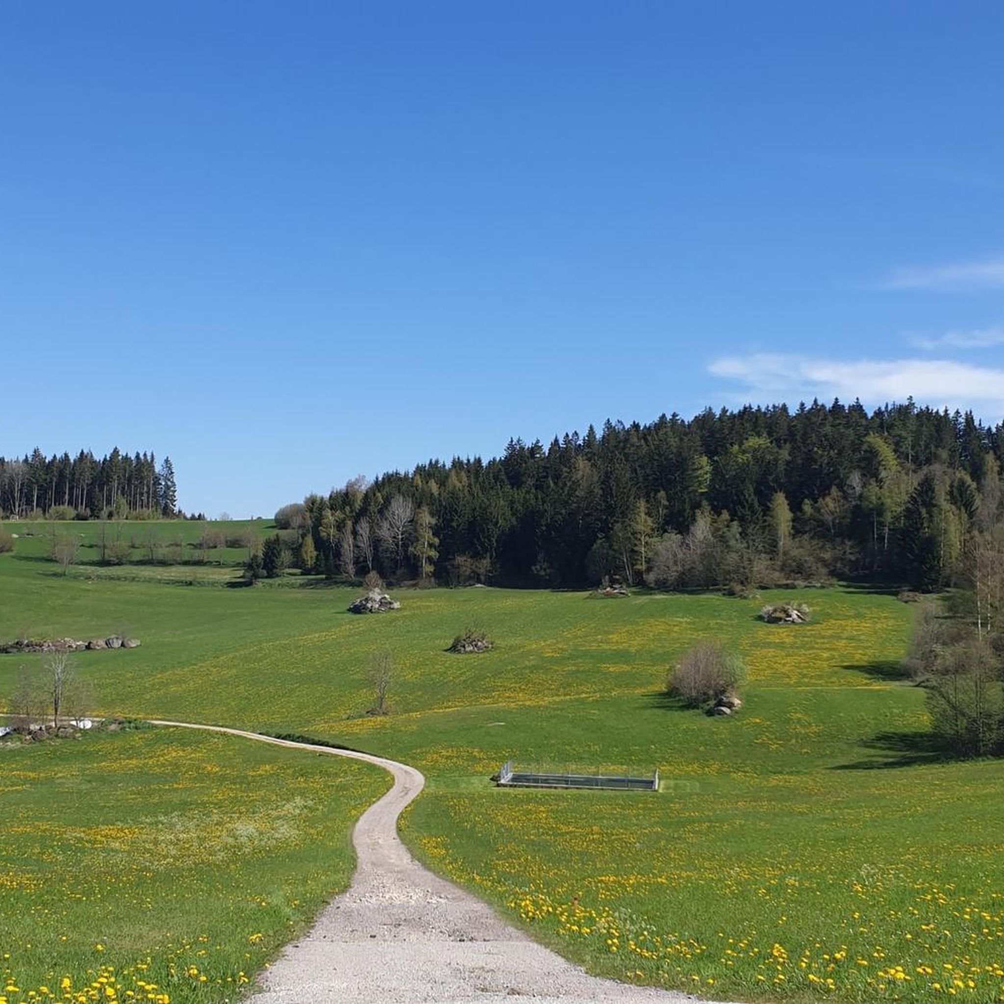
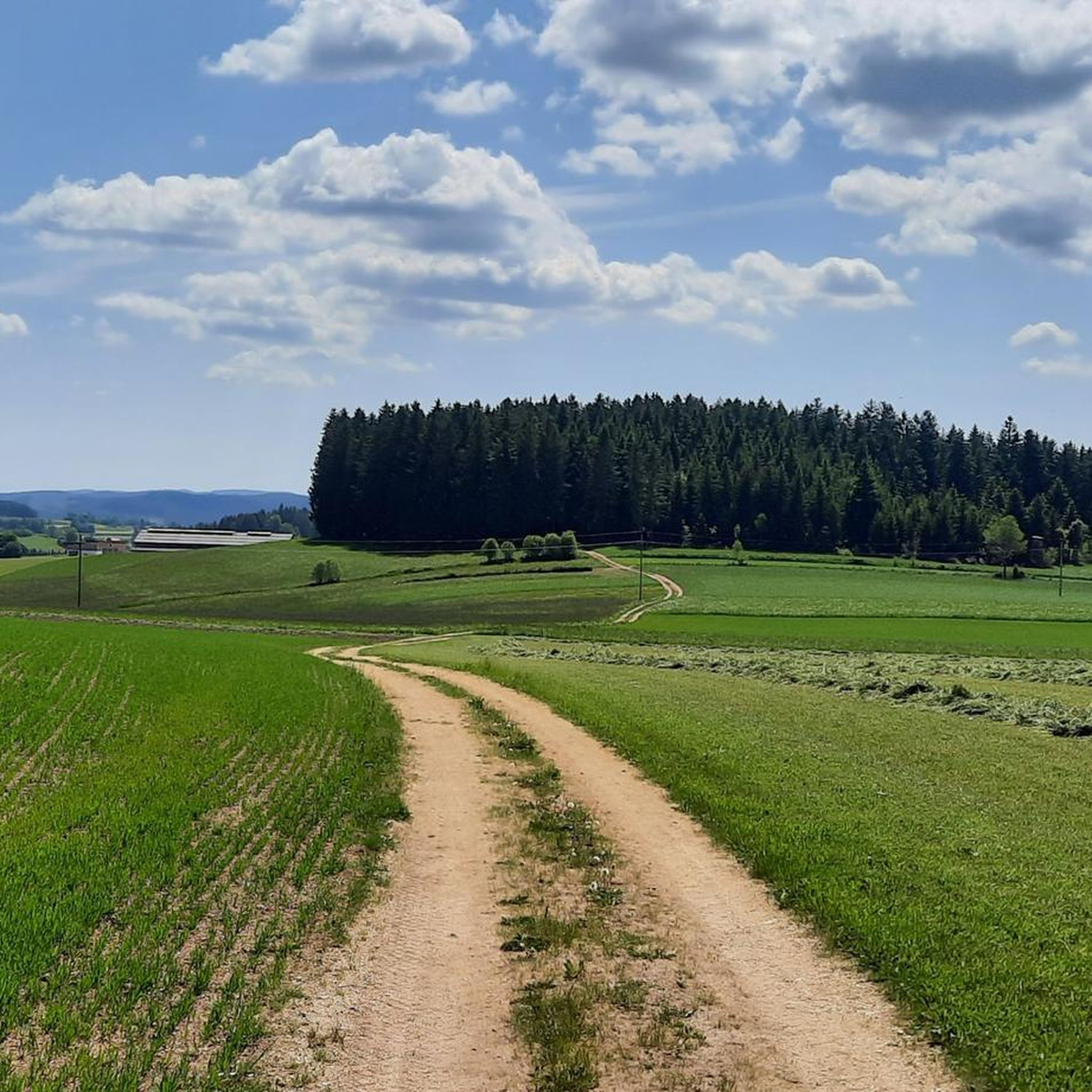
Other adventures around Unterweißenbach

Tips from the Community

Hinterberg freight road: asphalt, little traffic
0
0


You'll find a coffee machine, chilled drinks, and granola bars here. A very well-maintained rest stop awaits you.
0
0

Best roast pork - but you can't get in without a reservation!
0
0
A beer after the tour on the terrace at Franz & Tobias - Gasthof Karlinger - directly on the market square of Königswiesen
0
0

At the beautiful market square there are still cozy inns open for a lunch break.
0
0
Frequently Asked Questions
How many touring cycling routes are available around Unterweißenbach?
There are over 30 touring cycling routes around Unterweißenbach listed on komoot, offering a diverse range of experiences for cyclists. These routes traverse the scenic Mühlviertel region, known for its rolling hills and dense forests.
What kind of terrain can I expect on touring cycling routes in Unterweißenbach?
The terrain around Unterweißenbach is characterized by rolling hills, dense forests, and agricultural lands. You'll find a mix of mostly well-paved surfaces, with some segments that might be unpaved, offering options for both road and gravel biking. The region also features impressive granite rock formations and provides panoramic views.
Are there any easy touring cycling routes for beginners or families?
While many routes in Unterweißenbach are rated as difficult, the region's diverse terrain means there are paths suitable for varying fitness levels. Currently, komoot lists 9 moderate routes. For a less strenuous option, consider routes that stick to flatter sections or shorter distances, though specific 'easy' routes for beginners or families are not explicitly highlighted in the data. Always check the route profile on komoot for elevation and distance before you go.
Are there circular touring cycling routes in Unterweißenbach?
Yes, many of the touring cycling routes around Unterweißenbach are designed as loops, allowing you to start and end at the same point. Examples include the Johannesweg Hut – View of Königswiesen loop from Unterweißenbach, the Gasthaus Moserwirt – Josef Kappacher Chapel loop from Gasthaus Moserwirt, and the Rubner Pond – Rubner Pond in the Tannermoor loop from Unterweißenbach.
What are some notable natural attractions or landmarks I can see along the routes?
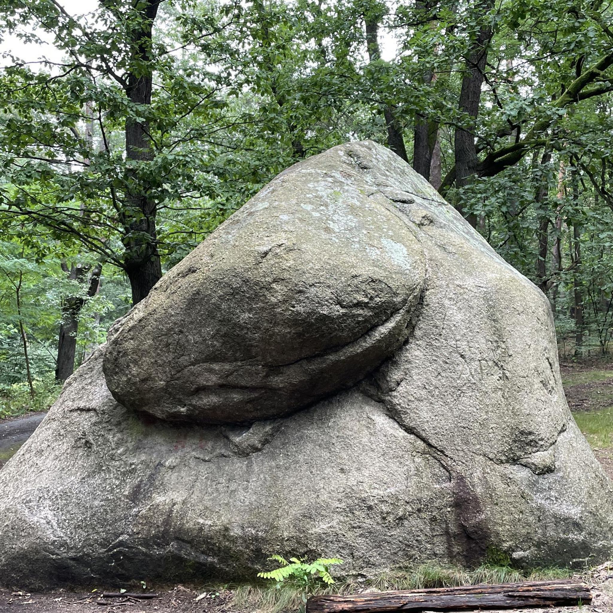
The region is rich in natural beauty and historical sites. You can encounter impressive granite rock formations like the Schwammerlstein and the Herrgottssitz Rock Formation. The Rubner Pond in the Tannermoor is another beautiful natural spot. For historical interest, the Prandegg Castle Ruins and Tavern offer an impressive complex to explore.
What is the best time of year for touring cycling in Unterweißenbach?
The Mühlviertel region is generally best explored from spring through autumn. During these seasons, the weather is typically mild, and the landscapes are vibrant. While specific winter cycling routes aren't detailed, the rolling hills and forests offer a serene experience in warmer months. Always check local weather conditions before heading out.
Are there any routes that offer extensive views or panoramic vistas?
Yes, many routes in the Unterweißenbach area are known for their scenic viewpoints. The Johannesweg Hut – View of Königswiesen loop from Unterweißenbach, for instance, offers extensive views of the surrounding Mühlviertel. The region's hilly nature ensures many opportunities for beautiful vistas into the landscape.
What do other touring cyclists say about the routes in Unterweißenbach?
The touring cycling routes in Unterweißenbach are highly rated by the komoot community, with an average score of 4.4 stars from over 10 reviews. Cyclists often praise the varied terrain, the serene experience of traversing through forests and meadows, and the beautiful panoramic views.
Can I find routes that pass by local chapels or religious sites?
Yes, some routes incorporate local cultural landmarks. The Gasthaus Moserwirt – Josef Kappacher Chapel loop from Gasthaus Moserwirt is an example that passes by notable local chapels, offering a blend of cycling and cultural exploration.
Are there any routes that lead through unique natural areas like moors?
Yes, the region features unique natural areas. The Rubner Pond – Rubner Pond in the Tannermoor loop from Unterweißenbach is a great option, leading through forests and past the Rubner Pond, which is located within the Tannermoor, offering a distinct natural experience.
What is the typical duration for a touring cycling route in Unterweißenbach?
Route durations vary depending on distance and difficulty. For example, the Johannesweg Hut – View of Königswiesen loop from Unterweißenbach, a difficult 40.7 km route, typically takes about 3 hours 32 minutes. Shorter routes like the Unterweißenbach – Königswiesen loop from Unterweißenbach (18.8 km) can be completed in around 1 hour 27 minutes. Always check the estimated duration on komoot for specific routes.
Most popular routes around Unterweißenbach
Most popular attractions around Unterweißenbach

Get inspired with the komoot mobile app


Explore more
Browse the best Cycling routes in other regions.
