The best mountain hikes around Würflach
4.7
(47)
749
hikers
49
hikes
Mountaineering routes around Würflach traverse a landscape characterized by the foothills of the Alps, featuring prominent limestone formations and dense woodlands. The region offers a variety of elevations, from forested valleys to higher viewpoints, providing diverse terrain for mountaineering. These routes often lead through natural parks and protected areas, showcasing the area's geological features and rich biodiversity. The trails are well-established, guiding mountaineers through varied environments.
Best mountaineering routes around Würflach
- The most popular mountaineering route is Wildenauersteig – Riedlkreuz…
Last updated: July 5, 2026
5.0
(4)
134
hikers
4.53km
01:55
270m
270m
Hard mountaineering route. Great for any fitness level. Sure-footedness, sturdy shoes and alpine experience required.
4.6
(8)
43
hikers
Hard mountaineering route. Good fitness required. Sure-footedness, sturdy shoes and alpine experience required.

Sign up for free
5.0
(2)
13
hikers
6.87km
03:04
540m
540m
Hard mountaineering route. Good fitness required. Sure-footedness, sturdy shoes and alpine experience required.
27
hikers
6.79km
02:57
490m
490m
Hard mountaineering route. Good fitness required. Sure-footedness, sturdy shoes and alpine experience required.
26
hikers
Hard mountaineering route. Good fitness required. Sure-footedness, sturdy shoes and alpine experience required.
Get access to more routes and recommendations from other explorers.
Sign up for free
Already have an account?
Our route recommendations are based on thousands of hikes, rides, and runs completed by other people on komoot.
Start today with a free account
Your next adventure awaits.
Login or Signup
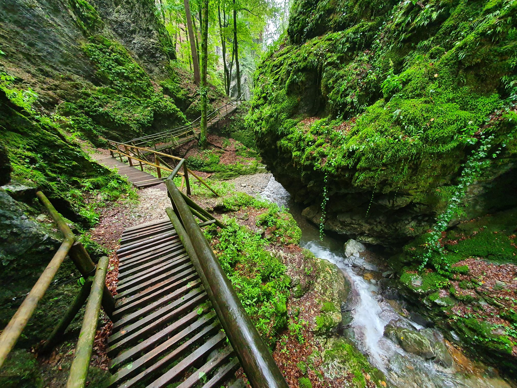
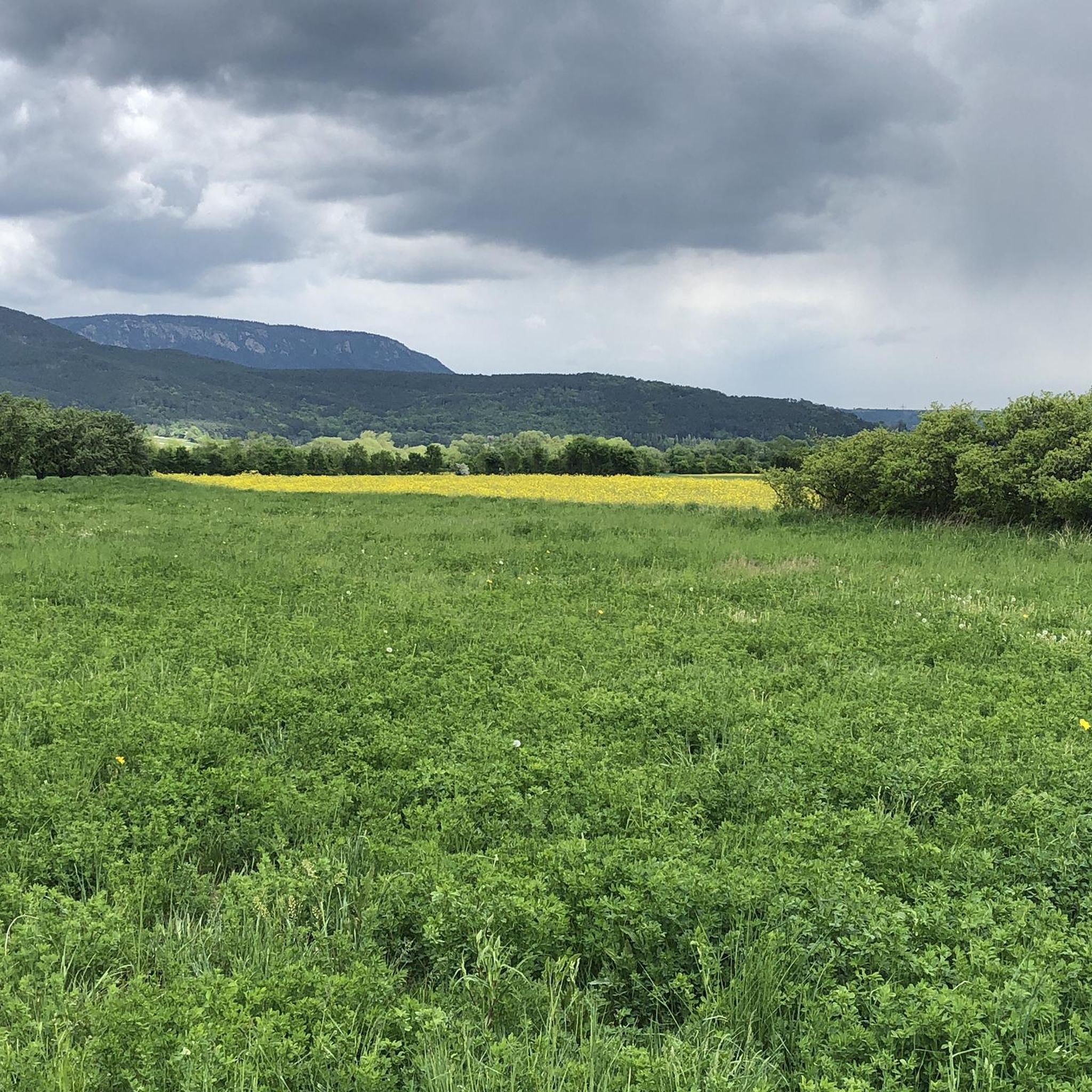
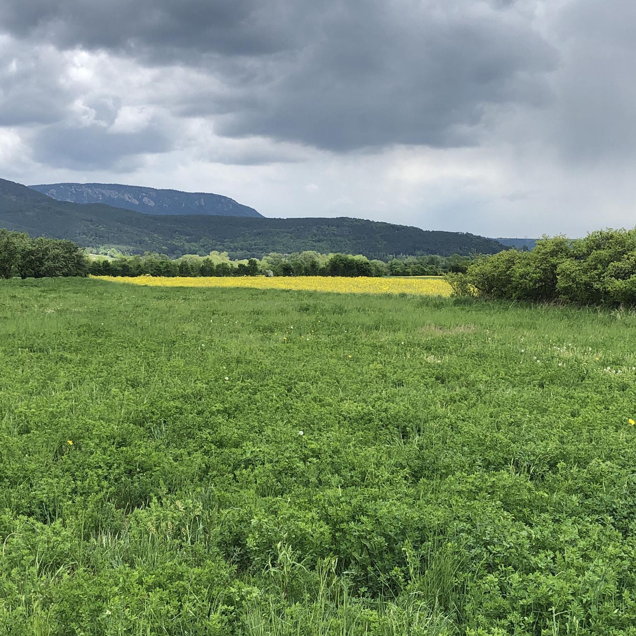
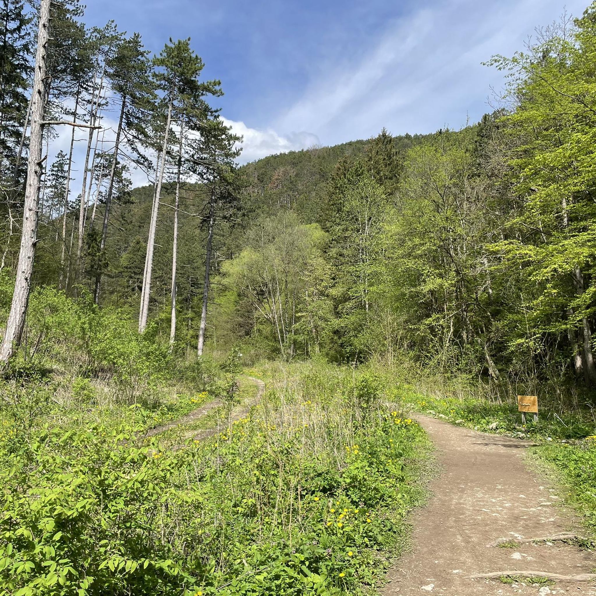
Other adventures around Würflach

Tips from the Community

The menu price was unbeatable, like in the previous millennium. A madness, here you get something for a small purse. Conclusion: Old but top. Worth a visit.
0
0

A helmet is extremely useful! Just as I was through the narrow passage and climbing a bit further, I heard pebbles tumbling and then spotted an ibex on the ridge above the cave ;). The via ferrata is pleasant, similar to the Springlessteig. Adequately secured. Still, stumbling is forbidden. A grade A "via ferrata," quite a nice, easy scramble. More of a secured mountain trail. But you could definitely clip in a set of cables for the higher sections if it makes you feel better and you're not entirely free from vertigo.
0
0

The Wilhelm-Eichert-Hütte enjoys a scenic location on the ridge above Weidlingbach and is a popular stop in the Eichenhain Nature Park. After the climb, you can rest in the garden or on the terrace and enjoy the view over the Vienna Woods hills and valleys. It's an ideal destination or stopover for hikers, runners, and bikers.
1
0

A wonderful route on the Big Wall, often underestimated. If you take your time and enjoy it, nothing can go wrong. For dog owners: only recommended if you can carry your dog over a ladder about three meters high and your dog can bear it.
0
0
The "Great Pulpit" on the Hohe Wand is an absolute highlight and a must for every visitor. It offers a breathtaking view and is a popular meeting place for hikers, climbers and nature lovers. The imposing summit cross towers over the landscape and gives the place a special atmosphere - particularly impressive with dark clouds in the background. Various routes lead up, including the Springlessteig and the Wagnersteig. Whether for a well-deserved rest, a good meal on the sunny terrace or just to unwind - you should take your time up here to enjoy the view to the fullest.
4
0
The Hubertushaus on the Hohe Wand is a rustic mountain hut with a fantastic view and a cozy atmosphere. Located at 946 meters above sea level, it has been a popular destination for hikers and climbers for over 90 years. It can be reached via various trails, from easy hiking trails to challenging climbing routes. Those who stop here can enjoy the impressive landscape and fortify themselves with regional specialties - the vegetarian tarte flambée is particularly praised. When the weather is nice, the outdoor tables with a direct view of the valley invite you to linger.
4
1

A beautiful via ferrata that always requires a bit of strength! Rope is available wherever it is needed 👌 There are many different paths/trails for the descent.
0
0

Over the large wooden cross, you can look out into the beautiful landscape.
5
1
Frequently Asked Questions
What is the typical difficulty of mountaineering routes around Würflach?
Mountaineering routes in Würflach are primarily challenging. The guide features 52 routes, with 39 rated as difficult and 13 as moderate. There are no easy routes listed, indicating that most trails require a good level of fitness and experience.
How long do mountaineering routes in Würflach usually take to complete?
The duration of routes varies, but many of the more challenging trails can take several hours. For example, the difficult Wildenauersteig – Riedlkreuz Viewpoint loop from Höflein an der Hohen Wand typically takes around 2 hours 8 minutes for 2.2 miles (3.5 km), while the Große Kanzel summit cross – Summit Cross Hohe Kanzel loop from Grünbach am Schneeberg, at 5.2 miles (8.3 km), can take over 3 hours 50 minutes.
Are there circular mountaineering routes available in Würflach?
Yes, many of the mountaineering routes around Würflach are designed as loops, allowing you to start and end at the same point. Examples include the Summit Cross Hohe Kanzel – Grafenbergweg Trail loop from Höflein an der Hohen Wand and the Riedl Cross – Große Kanzel Viewpoint loop from Höflein an der Hohen Wand.
What can I see along the mountaineering routes in Würflach?
The routes often lead through dense woodlands and offer panoramic viewpoints over the surrounding landscape, characterized by limestone formations. You might also encounter significant natural features like the Johannesbach Gorge or the Leitergraben Gorge. Many trails also pass by summit crosses, such as the Große Kanzel summit cross.
Are there any huts or places to rest along the trails?
Yes, the region around Würflach offers several huts where you can rest or find refreshments. Notable options include the Hubertus House, Hohe Wand, the Pottschacher Hut, and the Hengstlhütte.
When is the best time of year for mountaineering in Würflach?
The best time for mountaineering in Würflach is typically from spring through autumn, when the weather is generally mild and trails are clear of snow. The region's dense woodlands and limestone formations are particularly beautiful during these seasons.
Can I go mountaineering in Würflach during winter?
While some trails may be accessible, winter mountaineering in Würflach can be challenging due to snow and ice, especially at higher elevations and on steeper sections. It's crucial to check local conditions, weather forecasts, and avalanche warnings before heading out, and to be equipped with appropriate winter gear.
Are there family-friendly mountaineering options in Würflach?
Given that most routes are rated as moderate to difficult, Würflach's mountaineering trails are generally more suited for experienced hikers. There are no easy routes specifically listed, so families with young children or those seeking very gentle walks might find the terrain challenging.
Is parking available near the trailheads for mountaineering routes?
While specific parking details for each trailhead are not provided, it is generally possible to find parking in or near the starting points of popular routes in the region, such as those originating from Höflein an der Hohen Wand or Grünbach am Schneeberg. It's advisable to check local signage or online maps for designated parking areas before your trip.
What do other mountaineers enjoy the most about mountaineering in Würflach?
The area is highly rated by the komoot community, with an average score of 4.7 stars from over 40 reviews. Reviewers often praise the diverse terrain, the rewarding views from various viewpoints like the Riedlkreuz, and the well-established trails that lead through varied forest and open sections.
How can I find less crowded mountaineering routes in Würflach?
To experience quieter trails, consider exploring routes that are not among the most popular or venture out during off-peak times, such as weekdays or early mornings. While specific less-trafficked routes aren't highlighted, the region offers over 50 routes, providing ample opportunity to discover a peaceful path. The Völlerinsteig – Gasthaus Luf loop from Hohe Wand is another challenging option that might offer a different experience.
Most popular routes around Würflach
Most popular attractions around Würflach

Get inspired with the komoot mobile app


Explore more
Browse the best Mountain Hikes & Routes in other regions.
