The best mountain hikes around Gföhl
5.0
(2)
41
hikers
3
hikes
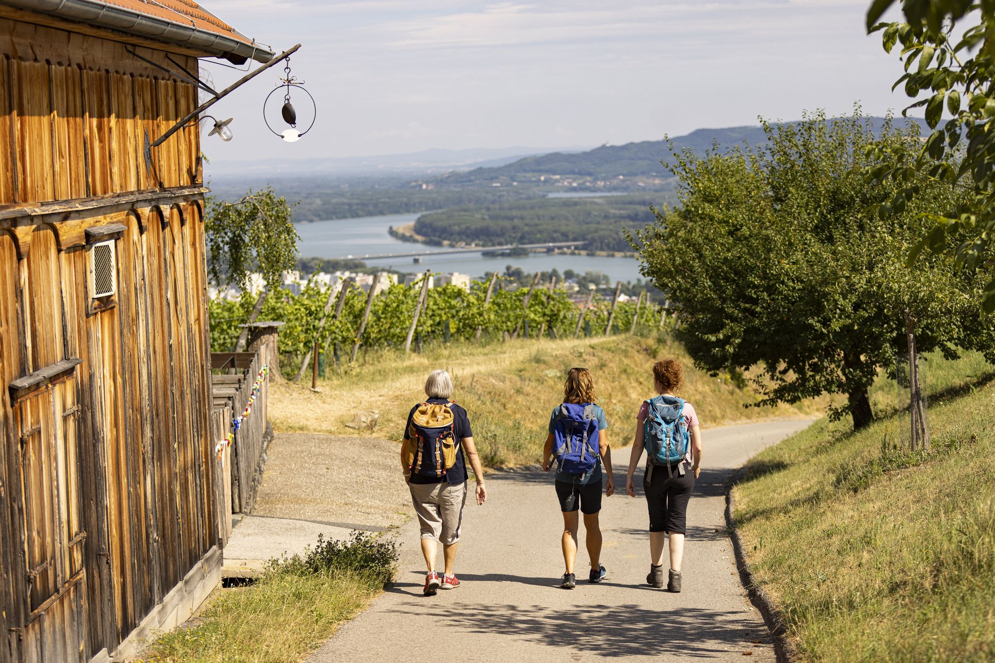
Mountaineering routes around Gföhl traverse a diverse landscape characterized by rolling hills, scenic vineyards, and the dramatic gorge landscape of the southern Waldviertel. The region features numerous peaks and rock formations, offering expansive views over the Danube and Wachau. These routes often include varied terrain, from forest paths to more challenging sections with climbs.
Best mountaineering routes around Gföhl
- The most popular mountaineering route is Dürnstein Castle Ruins loop from Dürnstein, a 3.5 miles (5.7 km) trail that takes…
Last updated: October 5, 2026
5.0
(1)
12
hikers
11.5km
03:57
470m
470m
Moderate mountaineering route. Good fitness required. Mostly accessible paths. Sure-footedness required.
5
hikers
5.10km
02:42
510m
510m
Hard mountaineering route. Good fitness required. Sure-footedness, sturdy shoes and alpine experience required.

9
hikers
4.64km
02:04
440m
440m
Moderate mountaineering route. Good fitness required. Easily-accessible paths. Suitable for all skill levels.
5.0
(1)
5
hikers
5.65km
01:45
140m
140m
Hard mountaineering route. Great for any fitness level. Sure-footedness, sturdy shoes and alpine experience required.
6
hikers
Moderate mountaineering route. Good fitness required. Easily-accessible paths. Suitable for all skill levels.
Our route recommendations are based on thousands of hikes, rides, and runs completed by other people on komoot.
Start today with a free account
Your next adventure awaits.
Other adventures around Gföhl

Tips from the Community

Very interesting old church in Weißenkirchen in der Wachau
0
0

...and every now and then a rest area with a magnificent view.
0
0

Falkenhorst/ a summit with schnapps 😁
1
0

A beautiful town on the Danube in the Wachau region. A stopover is worthwhile. A very impressive and interesting church.
1
0
Access to the church and elementary school is not barrier-free.
0
0

Please do not deface it!!! Below Hartenstein Castle lies the Gudenus Cave, which was carved out of the riverbank and inhabited by Neanderthals during the Stone Age. Traces of settlement dating back almost 100,000 years were discovered there, including hand axes and other tools. Due to historical preservation, the bridge could no longer be rebuilt unless the cave was sealed.
0
0
Hartenstein Castle is unfortunately privately owned and cannot be visited. From the parking lot to the castle, approximately 12 minutes. The history of the founding of the Hartenstein lordship and the associated construction is unknown. In 1726, Emperor Charles VI enfeoffed Baron Philipp Ferdinand von Gudenus with Hartenstein, and it remained in his family's possession until 1927. Between 1780 and 1799, Johann Heinrich Imperial Baron von Gudenus used the still usable materials, such as doors and window frames, to build his hunting lodge in Els. At the beginning of the 19th century, the two towers served as granaries. In 1892, physician Otto Pospischil leased the complex and established a cold water sanatorium in the outer bailey, which was rebuilt in 1892/96 in the historicist "castle style." The main castle had long since fallen into ruins. During the Nazi era, the building served as a "youth hostel" for the German Youth Hostel Association (DJH). An attempt to revive the sanatorium by physician Erich Buchmeier after World War II was unsuccessful. In 1993, Peter Kotauczek and his company BEKO took over Hartenstein.
2
0

The castle staircase connects the market square and the fortified castle. There are many romantic corners here.
7
0
Frequently Asked Questions
What kind of terrain can I expect on mountaineering routes around Gföhl?
The mountaineering routes around Gföhl feature a diverse landscape, from rolling hills and forest paths to more challenging sections with climbs, secured ladders, and rugged rock formations. You'll encounter the dramatic gorge landscape of the southern Waldviertel, picturesque vineyards, and impressive rock outcrops.
Are there any circular mountaineering routes in the Gföhl area?
Yes, many mountaineering routes around Gföhl are circular. For example, the Dürnstein Castle Ruins loop from Dürnstein is a popular option, offering views of the historic castle and the Wachau valley. Another great choice is the Fahnenwand – Hirschwandsteig Rocky Outcrop loop from Weißenkirchen i.d. Wachau, which includes a via ferrata section.
What are some notable viewpoints or natural features to see on these routes?
Gföhl offers numerous stunning viewpoints and natural features. You can enjoy panoramic views from the Seekopf Observation Tower or the Starhemberg Lookout. The Hirschwand Summit provides expansive views of the Danube and Wachau. Don't miss the wild and romantic gorge landscape where the Große and Kleine Krems rivers meet, or impressive rock formations like the Wotansfelsen.
Are there any family-friendly mountaineering options near Gföhl?
While many mountaineering routes in Gföhl are challenging, some sections or shorter trails might be suitable for families with older children who are accustomed to hiking. The region also offers a broad array of other outdoor activities, including easier hiking trails and the Gföhl Adventure Pool, which provides a large outdoor pool and playground for family fun.
Can I bring my dog on the mountaineering trails in Gföhl?
Generally, dogs are welcome on most hiking and mountaineering trails in the Gföhl region. However, some routes, especially those with secured ladders or via ferrata sections like the Hirschwandsteig, might be challenging or unsuitable for dogs. Always keep your dog on a leash and be mindful of local regulations and wildlife. It's advisable to check specific route descriptions for any restrictions.
What is the best time of year for mountaineering in Gföhl?
The best time for mountaineering in Gföhl is typically from spring to autumn (April to October), when the weather is generally mild and stable. Spring brings blooming landscapes, while autumn offers vibrant foliage. While winter mountaineering is possible, be prepared for snow and ice, especially at higher elevations or on more exposed sections, and always check conditions before heading out.
Are there any historical sites or attractions along the mountaineering routes?
Yes, the region is rich in history and culture. Many routes offer views of or pass by historical sites. For instance, the Dürnstein Castle Ruins loop from Dürnstein takes you past the iconic Dürnstein Castle Ruins. You can also find charming wine villages, cellar lanes, baroque churches, and other castle ruins like Lichtenburg and Burgruine Hohenstein in the broader area.
How many mountaineering routes are available in the Gföhl area?
There are several dedicated mountaineering routes around Gföhl, with a total of 6 routes listed in this guide. These range in difficulty from moderate to difficult, offering diverse experiences for mountaineers.
What do other mountaineers say about the routes in Gföhl?
The mountaineering routes in Gföhl are highly rated by the komoot community, with an average score of 5.0 stars from 5 reviews. Over 140 mountaineers have used komoot to explore Gföhl's varied terrain, often praising the diverse landscapes, challenging sections, and stunning views over the Danube and Wachau.
Are there any easier mountaineering routes for beginners in Gföhl?
While many routes are rated as difficult, there are moderate options available. The Flag Wall – Fahnenwand loop from Dürnstein is a moderate 11.5 km trail, and the Forest Ridge Trail – View from Kügerlwand loop from Weißenkirchen i.d. Wachau is another moderate option. These routes offer a good introduction to the region's terrain without the extreme challenges of the most difficult trails.
Can I find places to eat or stay near the mountaineering trails?
Yes, the Gföhl region, particularly the nearby Wachau valley, is known for its hospitality. You'll find traditional wine taverns (Heurige) where you can enjoy regional wines and local cuisine, especially along the vineyard hiking trails. Charming wine villages offer various accommodation options, from guesthouses to hotels, perfect for resting after a day on the mountains.
Is public transport available to reach the mountaineering trailheads?
The Gföhl region and the Wachau valley are accessible by public transport, though direct access to every trailhead might require some planning. Buses connect larger towns like Krems and Dürnstein, which are starting points for several routes. It's recommended to check local bus schedules and connections to plan your journey to specific trailheads.
Most popular routes around Gföhl
Most popular attractions around Gföhl

Get inspired with the komoot mobile app


Explore more
Browse the best Mountain Hikes & Routes in other regions.
