The best hikes from bus stations around Gföhl
4.6
(6036)
31,719
hikers
35
hikes
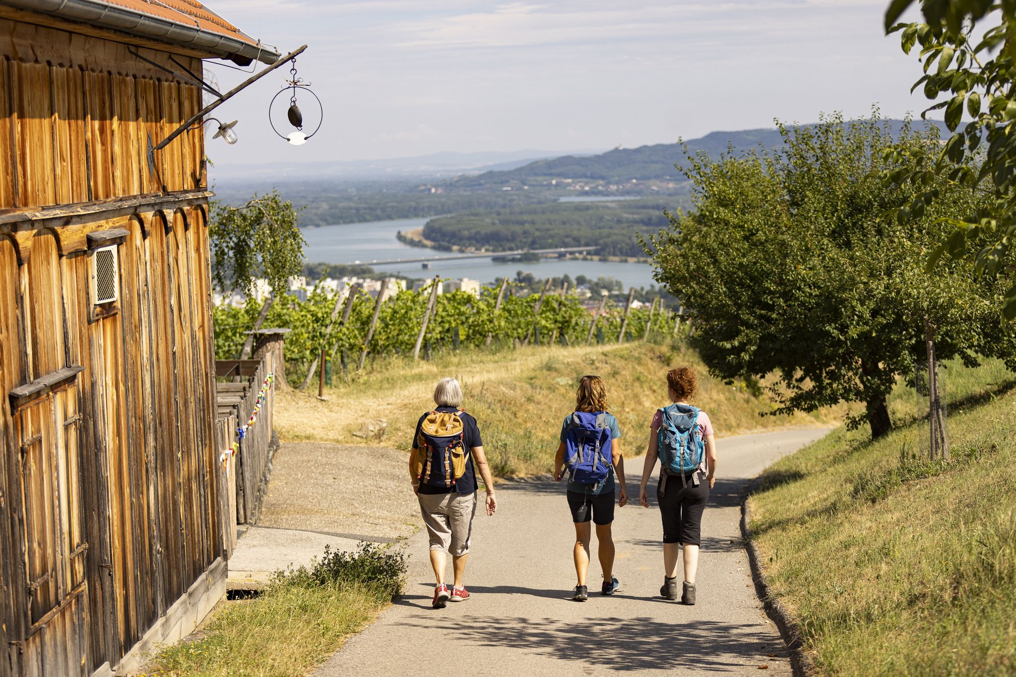
Hiking around Gföhl offers diverse landscapes in the Waldviertel region of Austria. The area features rolling hills, picturesque vineyards, and mixed forests, with the Kamp River flowing through. It is characterized by dramatic gorges and rock formations, providing varied terrain for outdoor activities.
Best bus station hiking trails around Gföhl
- The most popular bus station hiking route is Gföhl – Steinberg Viewpoint loop from Gföhl, a 8.0 miles (12.8 km) trail that takes 3 hours 38 minutes to complete.…
Last updated: October 13, 2026
4.4
(8)
29
hikers
12.8km
03:39
280m
280m
Moderate hike. Good fitness required. Easily-accessible paths. Suitable for all skill levels.
4.5
(6)
17
hikers
13.7km
03:58
300m
300m
Moderate hike. Good fitness required. Mostly accessible paths. Sure-footedness required.

4.8
(10)
23
hikers
9.69km
02:42
180m
180m
Moderate hike. Good fitness required. Easily-accessible paths. Suitable for all skill levels.
4.6
(17)
33
hikers
5.96km
01:35
60m
60m
Easy hike. Great for any fitness level. Easily-accessible paths. Suitable for all skill levels.
4.3
(6)
9
hikers
7.27km
02:05
180m
180m
Moderate hike. Good fitness required. Easily-accessible paths. Suitable for all skill levels.
Get access to more routes and recommendations from other explorers.
Already have an account?
Our route recommendations are based on thousands of hikes, rides, and runs completed by other people on komoot.
Other adventures around Gföhl

Tips from the Community

Gföhl was first mentioned in documents around 1180 and looks back on a long history as a market town and centre of the Waldviertel. The most important milestones Antiquity and settlement: Prehistoric finds (like from the Bronze Age) prove early traces of humans on the Gföhl plateau. Before German settlement from the 12th century onwards, there was a Slavic presence. First mention (1180): The place name is presumably derived from a topographical depression in the ground. Elevation to market town (1314/1493): In 1314, Gföhl is mentioned as a market town. In 1493, Emperor Frederick III granted the town official market rights and a coat of arms. War hardship and crises: In 1426, the Hussites destroyed the town and church. The population also suffered severely during the Peasants' War (1595) and the Thirty Years' War (1645), as well as from the plague (1679/1681).
0
0
The Hussitenkreuz in Gföhl is a historical, late Gothic wayside shrine (Marterl) on the Niederlage by the B37, commemorating the Hussite Wars of 1426/27.
1
0

A trip to Jaidhof Castle is particularly worthwhile due to the combination of historical architecture, spiritual tranquility, and nature experience.
0
0

In 1985, the property was leased by the then owner, Rosa Gutmann (1912–2003), to the Priestly Fraternity of St. Pius X, and after her death in 2003, it was bequeathed to them.
1
0
History of the fountain on the main square of the town of Gföhl. The fountain itself is in neo-Gothic style and was erected in 1870 according to a design by Karl Rösner. From 1999 onwards, the main square was redesigned under the leadership of architect Gerhard Mitterberger for 9.3 million Schilling. During this process, the fountain was extended with a few subtly worked granite elements.
0
0
History of the Church: A church was first documented in 1327 and initially belonged to the parish of Meisling as a branch church. A new church was built in the mid-17th century, followed by the current church building, constructed between 1715 and 1720, which was consecrated in 1724. Damage was caused by fires in the village in 1748 and 1820. Subsequently, the church gradually acquired 19th-century furnishings. Damage to the roof truss led to the vault sagging. During a renovation in 2020, the vault was raised again.
0
0
History of the Church: A church was first documented in 1327 and initially belonged to the parish of Meisling as a branch church. A new church was built in the mid-17th century, followed by the current church building, constructed between 1715 and 1720, which was consecrated in 1724. Damage was caused by fires in the village in 1748 and 1820. Subsequently, the church gradually acquired 19th-century furnishings. Damage to the roof truss led to the vault sagging. During a renovation in 2020, the vault was raised again.
0
0
Frequently Asked Questions
How many hiking trails are accessible directly from bus stations around Gföhl?
There are over 35 hiking trails around Gföhl that you can start directly from a bus station, offering a wide range of options for different preferences and skill levels.
Are there easy, family-friendly hikes accessible by bus in Gföhl?
Yes, Gföhl offers several easy, family-friendly routes perfect for a relaxed day out. For example, the Gföhl – Drescher Pond in Jaidhof loop from Gföhl is an easy option that takes you through pleasant landscapes. The Kamptal Hiking Trail, mentioned in the region research, is also known for being suitable for families due to its relatively flat terrain along the Kamp River.
What kind of terrain can I expect on bus-accessible hikes in Gföhl?
The terrain around Gföhl is quite varied. You'll find everything from rolling hills and picturesque vineyards to mixed forests and dramatic gorges. Some routes follow river valleys, while others climb to viewpoints or explore mystical rock formations, characteristic of the Waldviertel's 'Schluchtenland' (gorge country).
Are there any circular hiking routes that start and end at a bus station in Gföhl?
Yes, many of the bus-accessible routes in Gföhl are circular, allowing you to return to your starting point without needing additional transport. An excellent example is the Gföhl – Steinberg Viewpoint loop from Gföhl, which offers scenic views and brings you back to Gföhl.
What natural features or landmarks can I see on hikes around Gföhl?
Gföhl's bus-accessible trails offer a wealth of natural beauty and historical landmarks. You can encounter impressive rock formations like the Wotansfelsen, explore parts of the Große Krems and Kleine Krems rivers, or enjoy views over vineyards. Notable viewpoints include the Seekopf Observation Tower (671 m) and the Starhemberg Lookout. You might also pass by historical sites such as the Dürnstein Castle Ruins or the Kronsegg Castle Ruins.
Are there challenging hikes accessible by bus in the Gföhl area?
Yes, for those seeking a more demanding experience, there are challenging routes available. The Gudenus Cave – View of Hartenstein Castle loop from Ruine Hohenstein is classified as difficult and offers a rewarding adventure with significant elevation changes and diverse landscapes.
What is the best time of year to go hiking from bus stations in Gföhl?
Gföhl is beautiful year-round, but spring and autumn are particularly recommended. In spring, the nature is vibrant with blooming flora, while autumn offers spectacular colorful foliage, especially in the mixed forests and vineyards. The region's diverse landscapes make it enjoyable across seasons, though some higher or more exposed routes might be less comfortable in winter.
Can I bring my dog on the bus-accessible hiking trails in Gföhl?
Many hiking trails in the Gföhl region are dog-friendly, allowing you to enjoy the outdoors with your canine companion. It's always advisable to keep dogs on a leash, especially in nature reserves, near livestock, or in areas with wildlife. Please check local regulations for specific routes.
Are there any viewpoints or panoramic spots easily reachable from a bus stop?
Absolutely. The region is known for its scenic vistas. The Steinberg Viewpoint loop from Gföhl is a moderate route that offers excellent panoramic views. Other notable viewpoints include the Seekopf Observation Tower (671 m) and the Danube Lookout on Braunsdorfer Hill, which can be incorporated into various hikes.
What do other hikers enjoy most about hiking from bus stations in Gföhl?
The area is highly rated by the komoot community, with an average score of 4.6 stars. Reviewers often praise the diverse landscapes, from river valleys and vineyards to forests and dramatic rock formations. The convenience of starting directly from a bus station and the well-marked local trails are also frequently highlighted, along with the opportunity to discover historical sites and local hospitality.
Are there options for shorter hikes from bus stations in Gföhl?
Yes, if you're looking for a shorter outing, there are several options. The Gföhl – Drescher Pond in Jaidhof loop from Gföhl is an easy route that can be completed in a shorter timeframe, offering a pleasant experience without committing to a full-day trek.
Most popular routes around Gföhl
Most popular attractions around Gföhl

Get inspired with the komoot mobile app


Explore more
Browse the best Hikes in other regions.
