The best running trails around Aspangberg-St.Peter
4.7
(30)
705
runners
69
runs
Jogging around Aspangberg-St.Peter offers routes through a landscape characterized by significant elevation changes, including prominent summits and alpine pastures. The region features challenging mountain trails and paths that lead past natural landmarks like waterfalls. Runners can expect varied terrain, from forested sections to open mountain environments.
Best jogging routes around Aspangberg-St.Peter
- The most popular jogging route is Marienseer Waterfall – Marienseer Schwaig loop from Katastralgemeinde Neustift am Alpenwald, an 8.5 miles (13.6 km) trail that takes 2 hours 2…
Last updated: August 25, 2026
12
runners
Hard run. Very good fitness required. Sure-footedness, sturdy shoes and alpine experience required.
10
runners
26.8km
03:45
1,110m
1,110m
Hard run. Very good fitness required. Sure-footedness, sturdy shoes and alpine experience required.

Sign up for free
8
runners
32.0km
04:03
1,110m
1,110m
Hard run. Very good fitness required. Sure-footedness, sturdy shoes and alpine experience required.
4.0
(1)
5
runners
8.31km
01:23
450m
460m
Hard run. Very good fitness required. Sure-footedness, sturdy shoes and alpine experience required.
8
runners
Hard run. Very good fitness required. Sure-footedness, sturdy shoes and alpine experience required.
Get access to more routes and recommendations from other explorers.
Sign up for free
Already have an account?
Our route recommendations are based on thousands of hikes, rides, and runs completed by other people on komoot.
Start today with a free account
Your next adventure awaits.
Login or Signup
Popular around Aspangberg-St.Peter

Central Alps Trail Eastern Section – Discover Austria
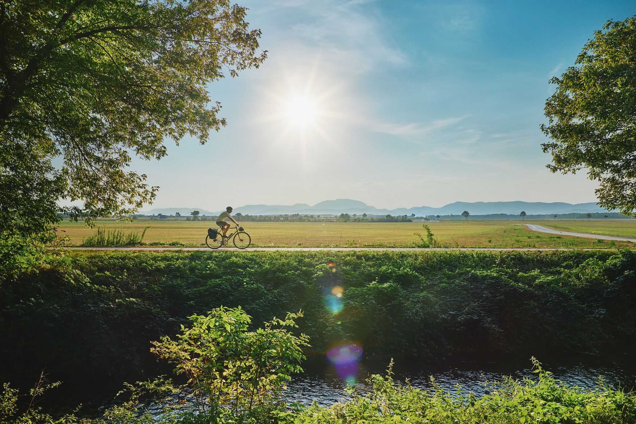
Superb cycling in the Vienna Alps – every day a new route
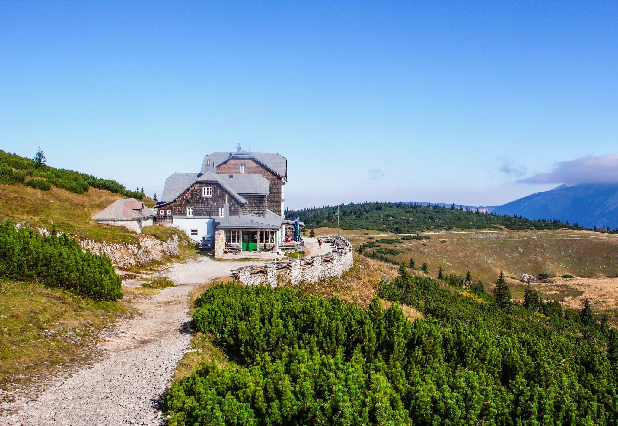
Hut fun in Austria’s Schneebergland
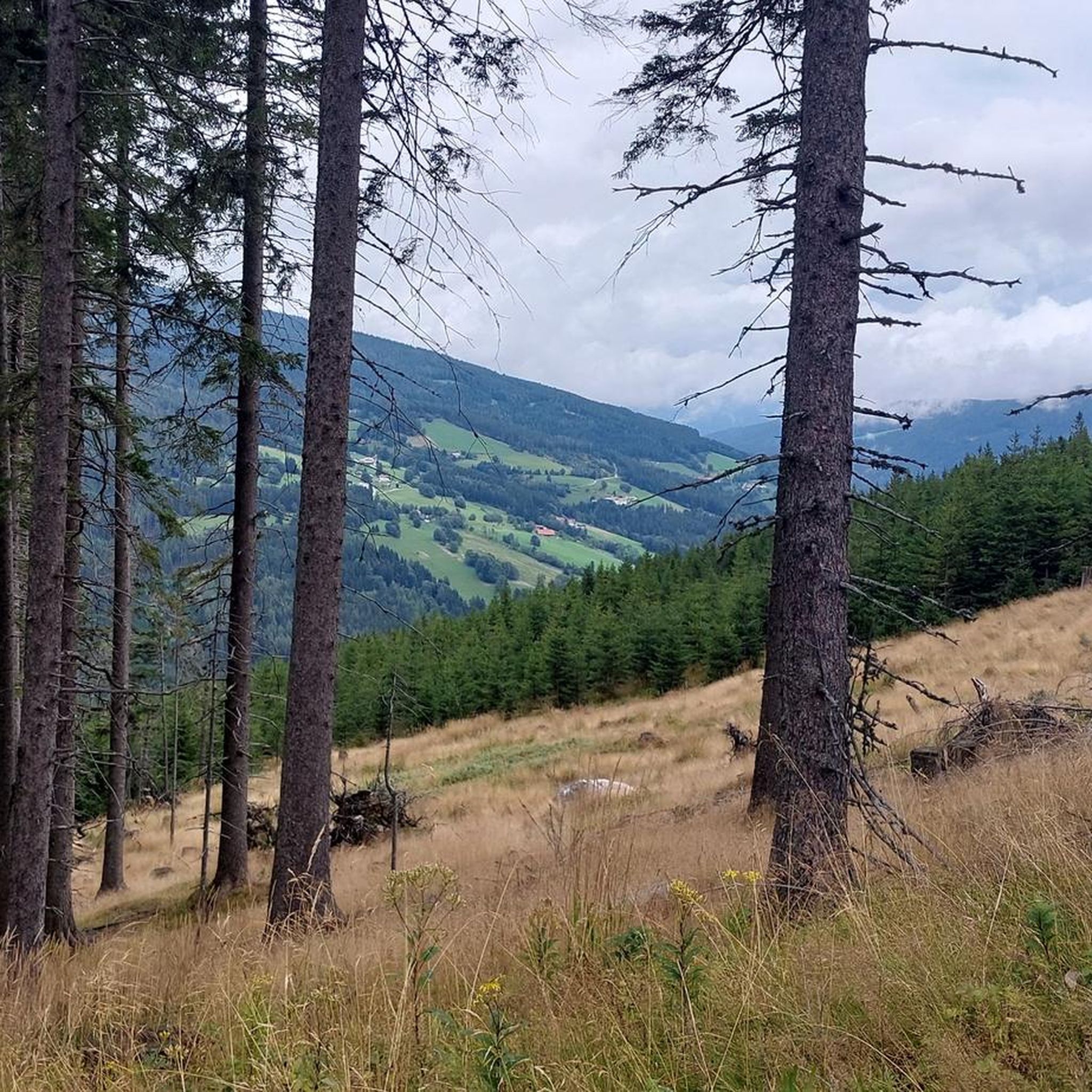
Hiking around Aspangberg-St.Peter
MTB Trails around Aspangberg-St.Peter
Cycling around Aspangberg-St.Peter

Gravel biking around Aspangberg-St.Peter
Road Cycling Routes around Aspangberg-St.Peter
Mountain Hikes around Aspangberg-St.Peter


Tips from the Community

The Niederwechsel (1,669 m) is located on the elongated ridge of the Wechsel region and, with its open alpine pastures, offers a beautiful contrast to the later forest sections. From the summit area, wide views open up over the surrounding mountain landscape and, in good visibility, to the distinctive peaks of the Eastern Alps. A worthwhile intermediate point on the way down from the Hochwechsel towards Mönichkirchner Schwaig.
3
0
The Stoa Alm is a rustic alpine pasture on the Niederwechsel and a beautiful resting point along the hiking route. Surrounded by meadows and the gentle mountain landscape of the Wechsel region, it offers a pleasant opportunity for a break. The quiet, original atmosphere away from the more frequented paths is particularly charming.
4
0
The Festenburg summit is located on the Niederwechsel and is a rather inconspicuous, natural point along the ridge. Instead of a distinct summit structure, forest and the gentle landscape of the Wechselland characterize this section. A quiet waypoint away from the more prominent peaks – typical for the elongated ridges of the Wechsel Mountains.
3
0
The large wooden „W“ stands directly on the Hochwechsel and marks the start of the Hochwechsel Trail „The WU“. It serves as a kind of gateway to the mountain bike trail, which leads from here across the alpine pasture in the direction of Marienseer Schwaig. Due to its striking shape, the „W“ is now also a distinctive photo motif directly on the Hochwechsel.
3
0
The Wetterkoglerhaus is located directly on the summit of the Hochwechsel at 1,743 meters and is a hut of the Austrian Alpine Club. With good visibility, the hut offers a magnificent panorama over the Wechsel region to Schneeberg, Rax, and Hochschwab. Due to its immediate proximity to the summit cross and chapel, the Wetterkoglerhaus is an ideal resting and refreshment stop at the highest point of the tour.
4
0
The Hochwechsel Trail Nord leads through the open alpine and mountain landscape of the Wechsel region up towards Hochwechsel. The path, which runs predominantly on loose ground, is actually part of the Wexl Trails mountain bike trail network, but can also be used in sections as a connection along a hiking route. Especially in the upper section, the route offers beautiful views over the extensive Wechsel Alps and the surrounding mountain world.
3
0

Even though this small, sacred monument isn't located on the famous Camino de Santiago through northern Spain, perhaps some thoughts from Hape Kerkeling might offer some inspiration in light of the summit cross standing here. The entertainer, famous especially in Germany, walked the Camino Francés in 2001 and kept a diary, which was published under the title "I'm Off Then." In it, he describes his personal encounter with God along the way as follows: "Yesterday, something inside me struck a huge gong. And the sound will resonate. Sooner or later, this path shakes everyone to their core. I know the sound will slowly fade, but if I listen closely, I'll be able to perceive this echo for a very long time."
2
0

The Feistritzer Schwaig can be reached from various directions. The hut invites you to stop for a bite to eat. It offers snacks, bread, homemade pastries (Buchteln), and juices. From here, you can enjoy views of the Marienseeer Schwaig and, on a clear day, the Hohe Wand and beyond.
0
0
Frequently Asked Questions
How many running routes are available in Aspangberg-St.Peter?
Aspangberg-St.Peter offers a wide selection of running routes, with over 70 trails to explore. These range from easy paths to more challenging mountain runs, catering to various fitness levels.
Are there any easy or beginner-friendly jogging routes in Aspangberg-St.Peter?
Yes, for beginners or those seeking a more relaxed run, there are 6 easy routes available. These trails typically feature less elevation gain and shorter distances, making them ideal for a gentle introduction to running in the region.
What kind of terrain can I expect on the running trails around Aspangberg-St.Peter?
The terrain in Aspangberg-St.Peter is quite varied, characterized by significant elevation changes. You'll encounter challenging mountain trails, forested sections, and open alpine environments. Some routes lead past natural landmarks like waterfalls and offer expansive mountain views.
Are there any running routes that feature waterfalls?
Yes, the region is known for its natural beauty, including waterfalls. A notable route that passes a waterfall is the Marienseer Waterfall – Marienseer Schwaig loop from Katastralgemeinde Neustift am Alpenwald. This difficult 8.5-mile (13.6 km) trail offers a chance to experience this natural landmark.
Can I find any loop or circular running trails in Aspangberg-St.Peter?
Absolutely. Many of the running routes in Aspangberg-St.Peter are designed as loops, allowing you to start and finish at the same point. Examples include the Niederwechsel Summit (1,669 m) – Stoa Alm loop from Aspangberg-St. Peter and the Hochwechsel – Feistritzer Schwaig loop from St. Corona am Wechsel.
What are some interesting sights or landmarks I can see along the running routes?
Beyond the natural landscapes of summits and alpine pastures, you can explore historical sites. For example, you might find yourself near impressive structures like Grimmenstein Castle or Feistritz Castle. The region also features serene spots like Sparkassenteich or View of Speicherteich St. Corona.
Are the running trails in Aspangberg-St.Peter suitable for dogs?
Generally, dogs are welcome on the running trails in Aspangberg-St.Peter. However, it's always recommended to keep your dog on a leash, especially in areas with wildlife or near livestock on alpine pastures, and to carry water for them.
What do other runners say about their experience in Aspangberg-St.Peter?
The running routes in Aspangberg-St.Peter are highly rated by the komoot community, with an average score of 4.7 stars from nearly 30 reviews. Over 700 runners have explored the varied terrain, often praising the challenging ascents, rewarding views, and diverse natural environment.
Are there any shorter running routes for a quick workout?
Yes, if you're looking for a shorter run, the Kampstein – Herrgottschnitzerhütte loop from St. Corona am Wechsel is a good option. It's approximately 5.2 miles (8.4 km) and can be completed in about 1 hour 20 minutes, offering a challenging but efficient workout.
What is the best time of year to go jogging in Aspangberg-St.Peter?
The best time to jog in Aspangberg-St.Peter is typically from late spring to early autumn (May to October) when the weather is milder and the trails are clear of snow. During these months, you'll experience pleasant temperatures and vibrant natural scenery. Winter running is possible but requires appropriate gear and caution due to snow and ice, especially at higher elevations.
Are there any running routes that lead to a summit?
Yes, for those seeking a challenging ascent and panoramic views, the Niederwechsel Summit (1,669 m) – Stoa Alm loop from Aspangberg-St. Peter is an excellent choice. This difficult 16.6-mile (26.7 km) path takes you to a prominent summit, offering expansive vistas of the surrounding mountains.
Most popular routes around Aspangberg-St.Peter
Most popular attractions around Aspangberg-St.Peter

Get inspired with the komoot mobile app


Explore more
Browse the best Running Trails & Routes in other regions.
