The best walks and hikes around Aspangberg-St.Peter
4.6
(927)
5,353
hikers
45
hikes
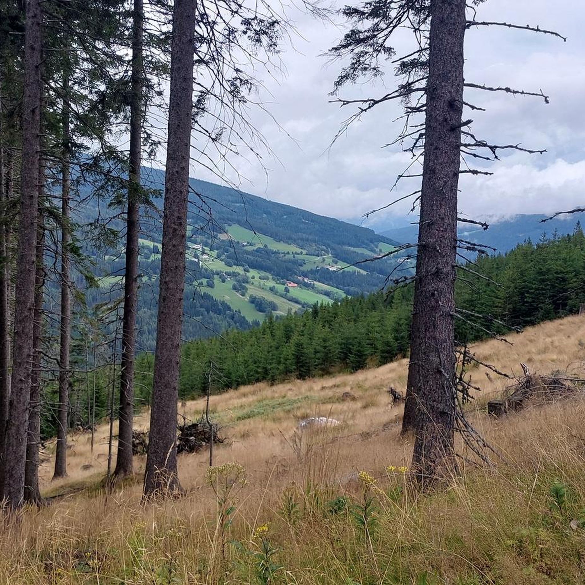
Hiking around Aspangberg-St.Peter offers diverse landscapes characterized by mountains, valleys, and extensive forests. The region features notable natural elements such as the Hochwechsel mountain, which provides expansive views, and the Wechselgraben Waterfall. This area presents a variety of hiking opportunities suitable for different fitness levels, from gentle forest paths to more challenging mountain ascents.
Best hiking trails around Aspangberg-St.Peter
- The most popular hiking route is Marienseer Schwaig – Wechselgraben Waterfall loop from Aspangberg-St. Peter, a 10.5 miles (16.8 km)…
Last updated: August 28, 2026
4.9
(77)
417
hikers
Moderate hike. Good fitness required. Mostly accessible paths. Sure-footedness required.
4.9
(56)
296
hikers
16.8km
06:28
920m
920m
Hard hike. Very good fitness required. Mostly accessible paths. Sure-footedness required.

Sign up for free
4.7
(36)
197
hikers
6.89km
02:46
410m
410m
Moderate hike. Good fitness required. Mostly accessible paths. Sure-footedness required.
4.6
(30)
120
hikers
Easy hike. Great for any fitness level. Easily-accessible paths. Suitable for all skill levels.
4.8
(56)
312
hikers
12.4km
03:40
370m
370m
Moderate hike. Good fitness required. Easily-accessible paths. Suitable for all skill levels.
Get access to more routes and recommendations from other explorers.
Sign up for free
Already have an account?
Our route recommendations are based on thousands of hikes, rides, and runs completed by other people on komoot.
Start today with a free account
Your next adventure awaits.
Login or Signup
Popular around Aspangberg-St.Peter

Central Alps Trail Eastern Section – Discover Austria
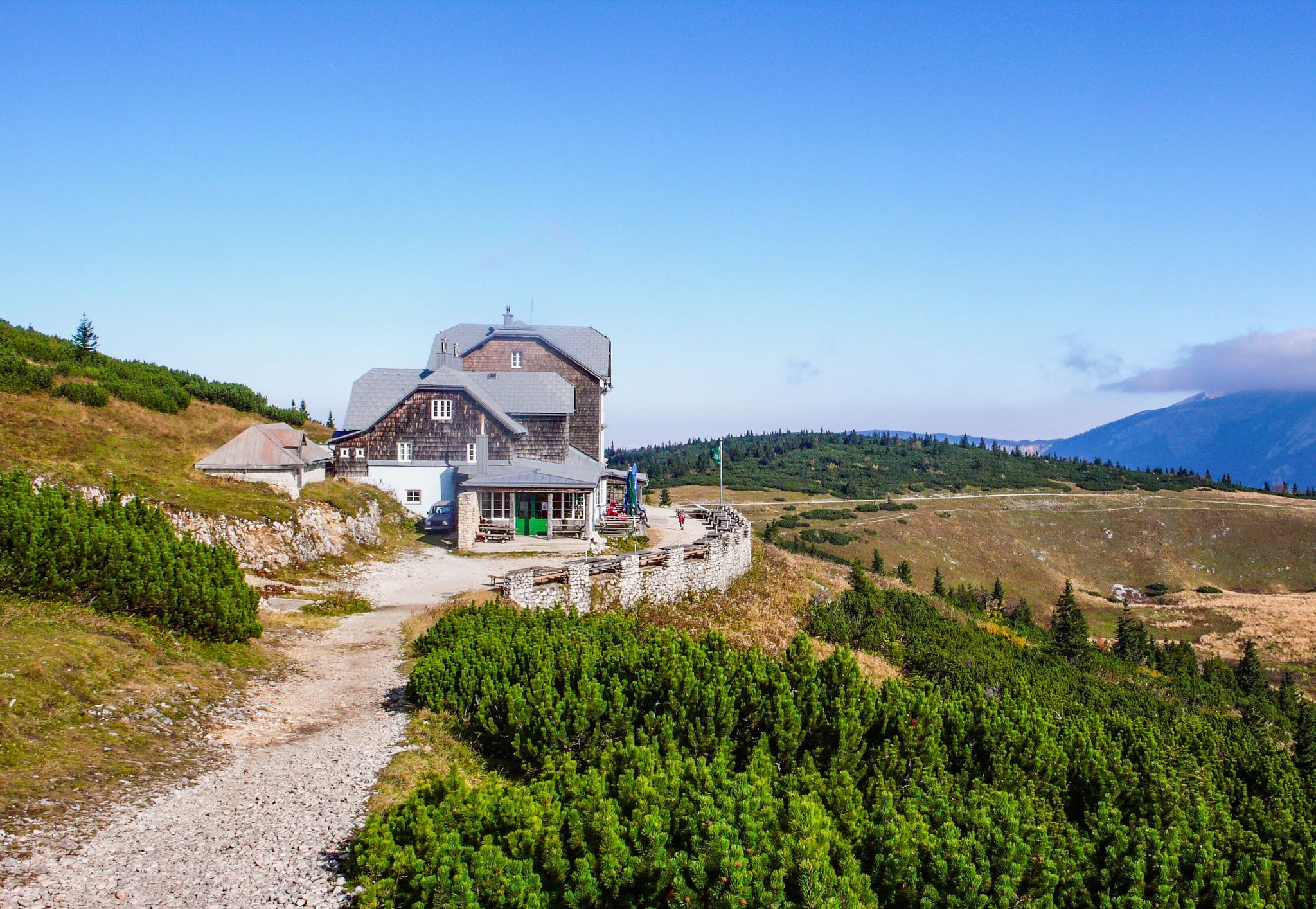
Hut fun in Austria’s Schneebergland
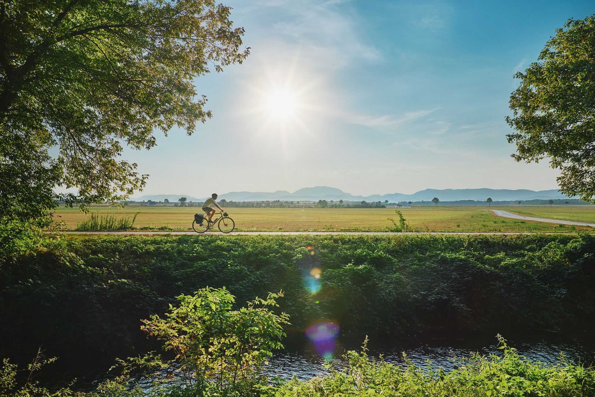
Superb cycling in the Vienna Alps – every day a new route
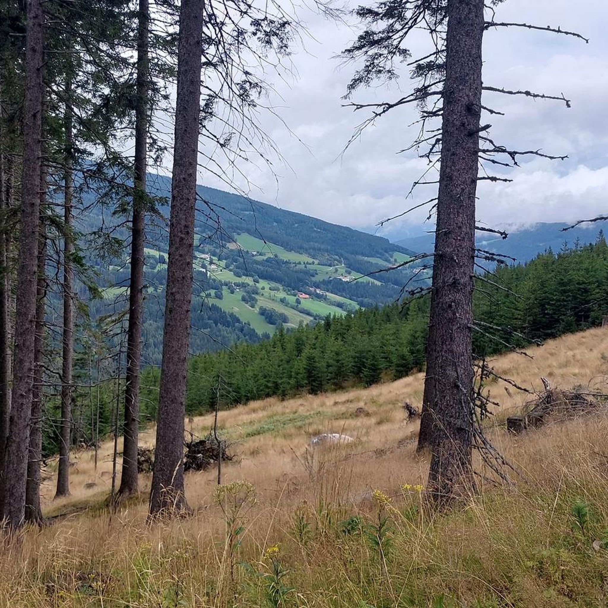
MTB Trails around Aspangberg-St.Peter
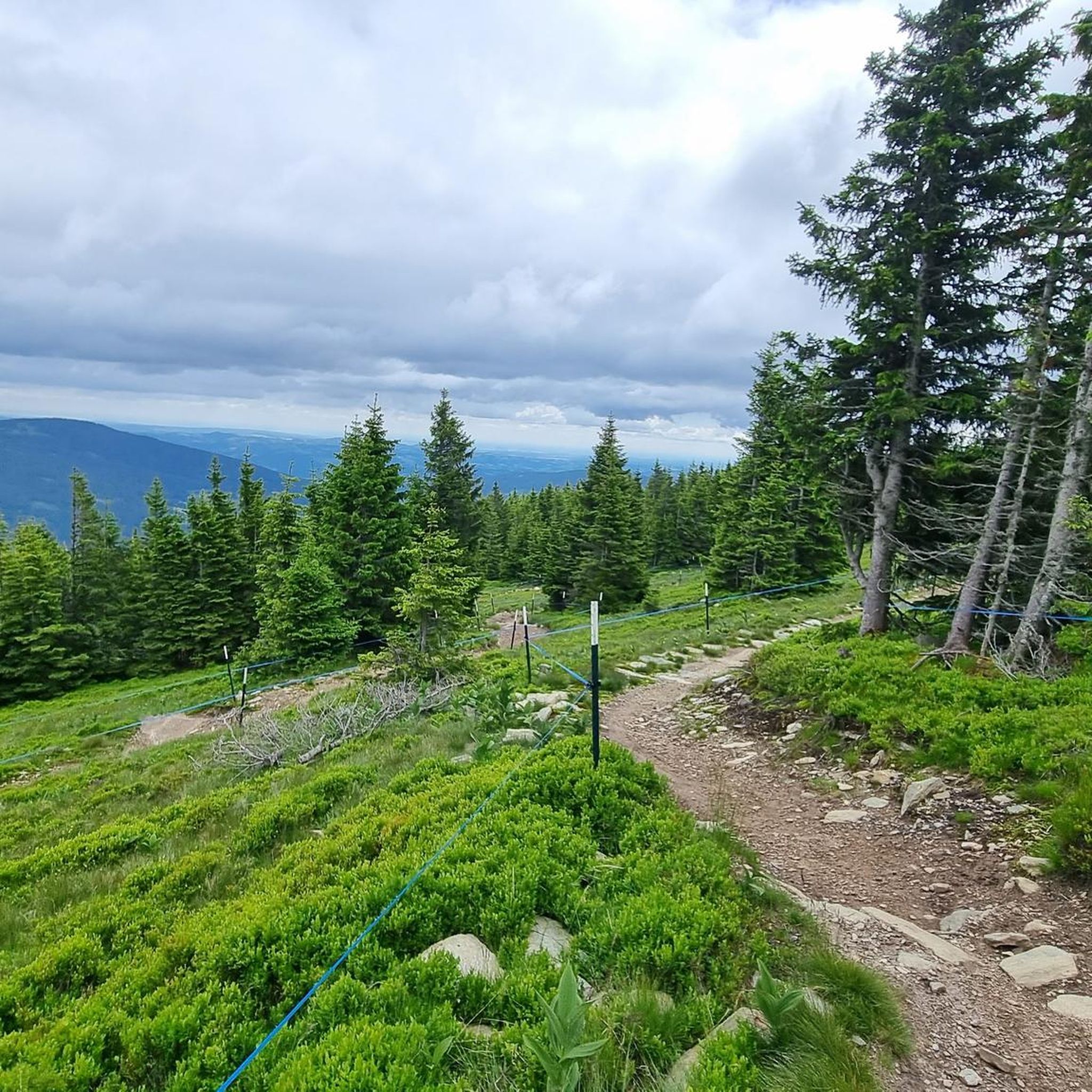
Cycling around Aspangberg-St.Peter

Gravel biking around Aspangberg-St.Peter
Road Cycling Routes around Aspangberg-St.Peter
Mountain Hikes around Aspangberg-St.Peter
Running Trails around Aspangberg-St.Peter


Tips from the Community

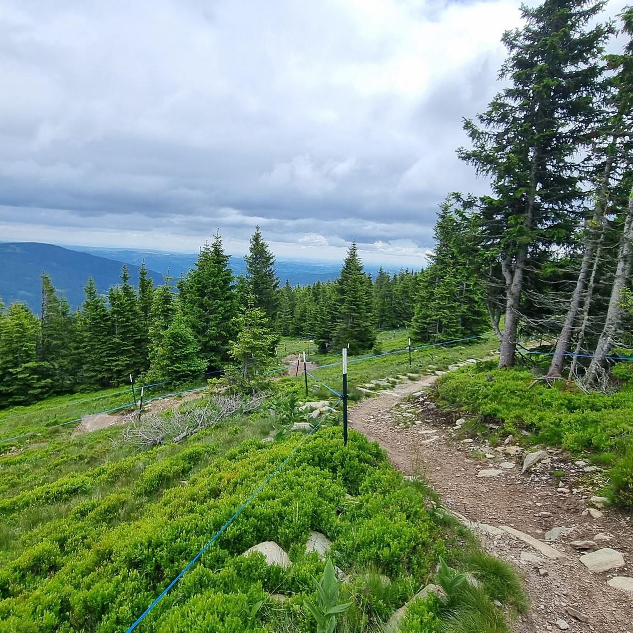
The large wooden „W“ stands directly on the Hochwechsel and marks the start of the Hochwechsel Trail „The WU“. It serves as a kind of gateway to the mountain bike trail, which leads from here across the alpine pasture in the direction of Marienseer Schwaig. Due to its striking shape, the „W“ is now also a distinctive photo motif directly on the Hochwechsel.
3
0
The Wetterkoglerhaus is located directly on the summit of the Hochwechsel at 1,743 meters and is a hut of the Austrian Alpine Club. With good visibility, the hut offers a magnificent panorama over the Wechsel region to Schneeberg, Rax, and Hochschwab. Due to its immediate proximity to the summit cross and chapel, the Wetterkoglerhaus is an ideal resting and refreshment stop at the highest point of the tour.
4
0
The Dreiländereck lies in a saddle between Arabichl and Umschußriegel and is an important junction in the Wechsel area. Contrary to what the name suggests, three federal states do not meet here; the designation apparently dates back to the confluence of three property boundaries. From here, paths branch off in the direction of Hochwechsel, Marienseer Schwaig, Kranichberger Schwaig, and Steyersberger Schwaig, among others.
2
0

Wonderful nature experience - an easy, exciting way to the waterfall.
0
0

A super nice tour highly recommended
4
0

Rustic hut with very friendly staff
0
0

The mountain ridge of the Wechsel stretches for over 15 km - the eastern Austrian low mountain range on the border between Lower Austria and Styria 🌲 Its three most lofty peaks each rise over 1,700 m ⛰️ Thanks to its mountain landscapes, which range from lovely to challenging, the Wechsel is considered a hiking destination for families on the one hand - and a local recreation area for experienced hikers and climbers on the other 🥾 The Hochwechsel, as the highest peak, offers particularly worthwhile views: the panoramic view stretches from Semmering and Rax to the Schneeberg 🌄 In good weather, even Burgenland, Styria, Hungary and Slovenia can be seen 😎 From mid-May to mid-November, a wonderful rest in the Wetterkoglerhaus is also tempting 🧃 www.wieneralpen.at/ausflugsziel-in-den-wiener-alpen-entdecken/a-hochwechsel-im-wechselgebirge
11
0
Border stone between Lower Austria and Styria 🧱
7
0
Frequently Asked Questions
How many hiking trails are available in Aspangberg-St. Peter?
Aspangberg-St. Peter offers a wide selection of hiking opportunities, with over 45 marked trails. These range from gentle forest paths to more challenging mountain ascents, catering to various fitness levels.
Are there easy hiking trails suitable for beginners or casual walkers?
Yes, Aspangberg-St. Peter has several easy hiking trails perfect for beginners or those seeking a relaxed walk. For example, the Marienseer Waterfall – Wechselgraben Waterfall loop from Katastralgemeinde Neustift am Alpenwald is an easy 6 km route that takes about 2 hours to complete, leading through scenic forests.
When is the best time of year to go hiking in Aspangberg-St. Peter?
The best seasons for hiking in Aspangberg-St. Peter are spring and autumn. During these times, the landscape is vibrant with color, and the mild climate provides ideal conditions for extended tours. While some trails are accessible year-round, spring and autumn offer the most pleasant hiking experience.
Are there any hikes that feature waterfalls in Aspangberg-St. Peter?
Absolutely! The region is known for its impressive waterfalls. You can explore the Marienseer Schwaig – Wechselgraben Waterfall loop from Aspangberg-St. Peter, which is a challenging 16.8 km trail incorporating the beautiful Wechselgraben Waterfall. Another option is the Marienseer Schwaig – Marienseer Waterfall loop from Katastralgemeinde Neustift am Alpenwald, a moderate 7.6 km trail passing by the Marienseer Waterfall.
Can I find circular hiking routes in Aspangberg-St. Peter?
Yes, many of the trails in Aspangberg-St. Peter are designed as circular routes, allowing you to start and end at the same point. Popular examples include the Wechselgraben Waterfall – Marienseer Schwaig loop from Katastralgemeinde Neustift am Alpenwald and the Wetterkogler House – Steyersberger Hut loop from Hochwechsel.
What kind of views or natural landmarks can I expect on hikes around Aspangberg-St. Peter?
Hikers can enjoy diverse landscapes, from rolling hills and extensive forests to panoramic mountain vistas. A prominent feature is the Hochwechsel mountain, offering breathtaking views. You'll also encounter picturesque waterfalls and charming alpine pastures. For historical interest, you can find several castles nearby, such as Grimmenstein Castle or Feistritz Castle.
Are there family-friendly hiking trails in Aspangberg-St. Peter?
Yes, families with children will find suitable options. The region features an "Abenteuerland" Children's Hiking Trail, a circular route through the forest with various stations for play and discovery, making it an engaging experience for younger hikers.
Are dogs allowed on the hiking trails in Aspangberg-St. Peter?
Generally, dogs are welcome on the hiking trails in Aspangberg-St. Peter. However, it's always advisable to keep them on a leash, especially in nature protection areas or near livestock, and to carry waste bags to maintain the cleanliness of the trails.
Are there amenities like restaurants or water sources along the trails?
Some trails in Aspangberg-St. Peter are equipped with convenient amenities. You may find refreshing water sources and even restaurants, such as the "Futterkrippe," providing opportunities to rehydrate and enjoy a meal during your hike.
Are there any long-distance hiking options in the Aspangberg-St. Peter region?
For those seeking multi-day adventures, Aspangberg-St. Peter is part of the Eastern Austrian Borderland Trail 07, a long-distance route traversing Lower Austria, Vienna, Burgenland, and Styria. Additionally, the 125-kilometer Alpannonia trail, connecting the Alpine mountains with the Pannonian Plain, also passes through the area.
How do other hikers rate the trails in Aspangberg-St. Peter?
The hiking routes in Aspangberg-St. Peter are highly rated by the komoot community, with an impressive average score of 4.6 stars from over 800 reviews. Hikers frequently praise the diverse terrain, well-maintained paths, and stunning natural beauty of the region.
Most popular routes around Aspangberg-St.Peter
Most popular attractions around Aspangberg-St.Peter

Get inspired with the komoot mobile app


Explore more
Browse the best Hikes in other regions.
