The best running trails around Großkirchheim
4.3
(11)
406
runners
27
runs
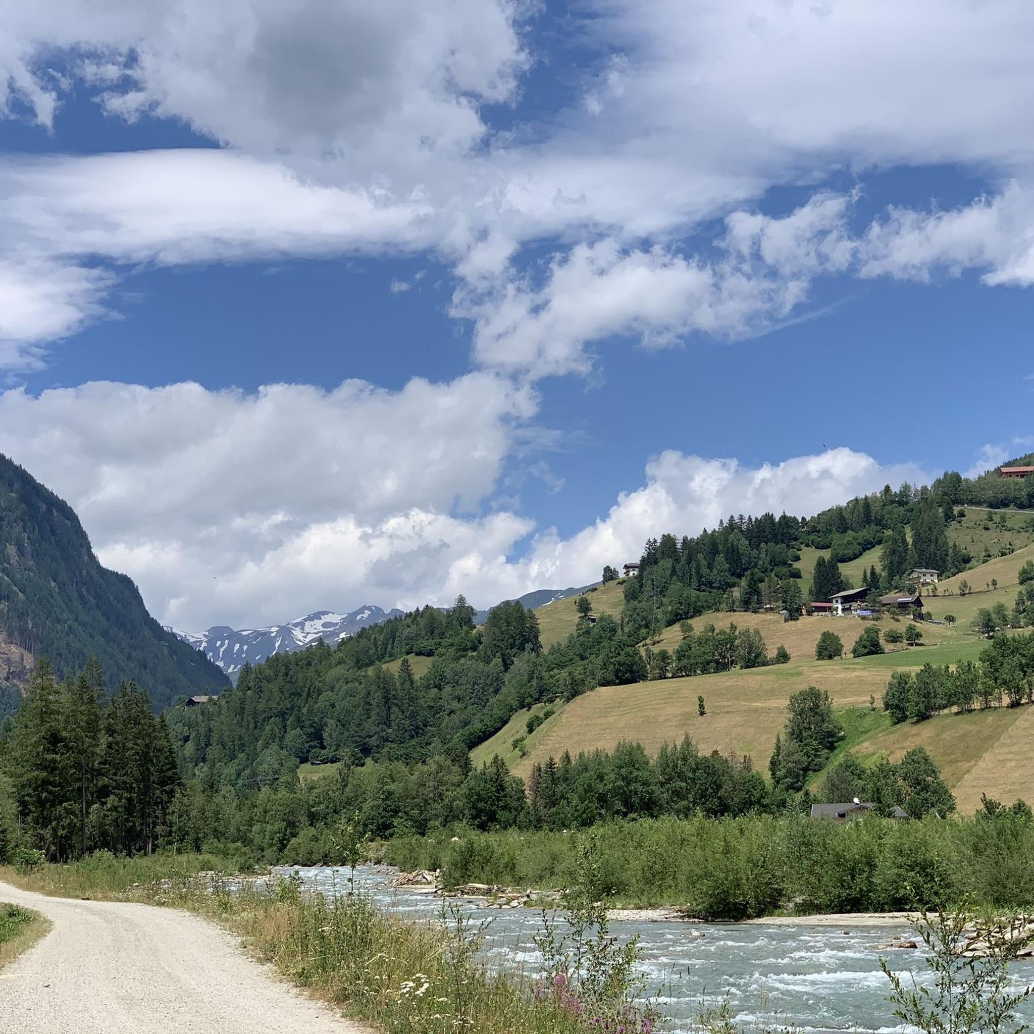
Jogging routes around Großkirchheim traverse a diverse alpine landscape, characterized by high mountain trails, scenic valleys, and impressive waterfalls. The region, nestled within the Goldberggruppe, offers varied terrain suitable for different fitness levels. Runners can expect routes that wind through alpine pastures and along mountain streams, providing a natural and engaging environment for outdoor activity.
Best jogging routes around Großkirchheim
- The most popular jogging route is Durchgangalm – Mitterastenalm loop from Goldberggruppe, a 9.1 miles (14.6 km) trail that…
Last updated: October 11, 2026
5.0
(1)
19
runners
14.6km
02:11
700m
700m
Hard run. Very good fitness required. Sure-footedness, sturdy shoes and alpine experience required.
17
runners
6.95km
00:48
130m
130m
Moderate run. Good fitness required. Mostly paved surfaces. Suitable for all skill levels.

4.0
(2)
16
runners
14.7km
02:10
700m
700m
Hard run. Very good fitness required. Sure-footedness, sturdy shoes and alpine experience required.
3.3
(3)
16
runners
9.01km
01:00
170m
170m
Moderate run. Good fitness required. Mostly paved surfaces. Suitable for all skill levels.
3.0
(1)
11
runners
7.47km
00:50
110m
110m
Moderate run. Good fitness required. Mostly paved surfaces. Suitable for all skill levels.
Get access to more routes and recommendations from other explorers.
Already have an account?
Our route recommendations are based on thousands of hikes, rides, and runs completed by other people on komoot.
Start today with a free account
Your next adventure awaits.
Popular around Großkirchheim
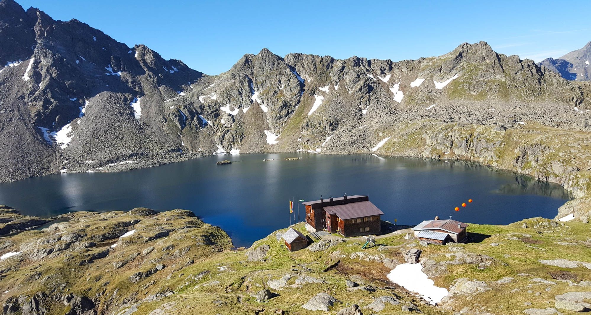
Wiener Höhenweg in Austria – 6 stages in the Schober Group
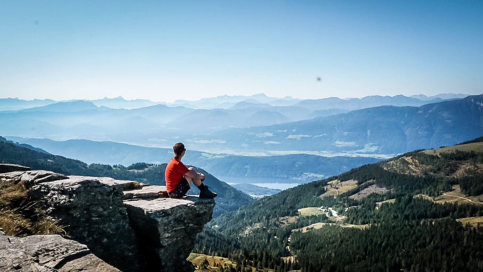
Alpe-Adria-Trail: My long-distance hike from the glacier to the sea
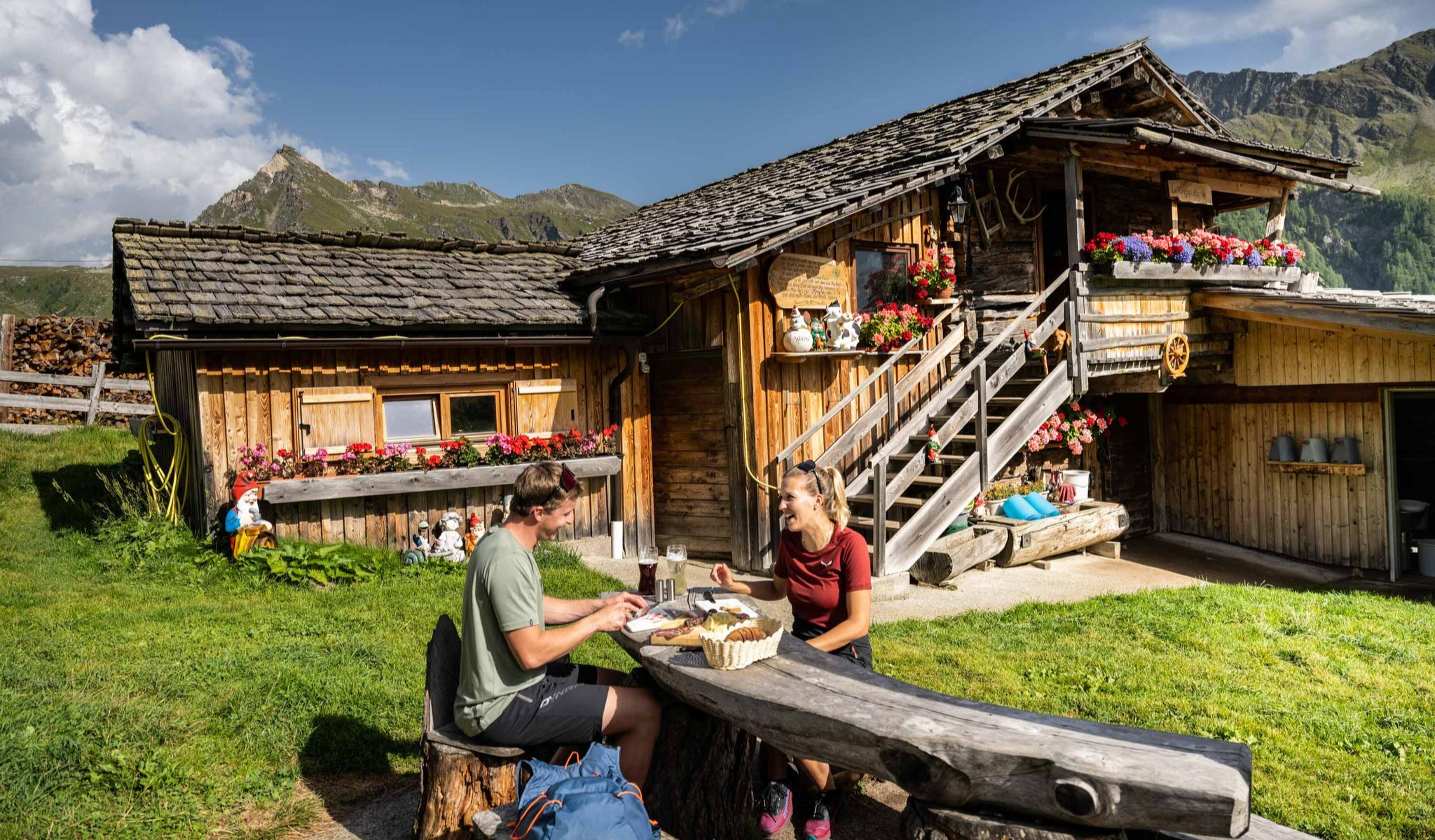
Peak happiness – hut hikes in the High Tauern
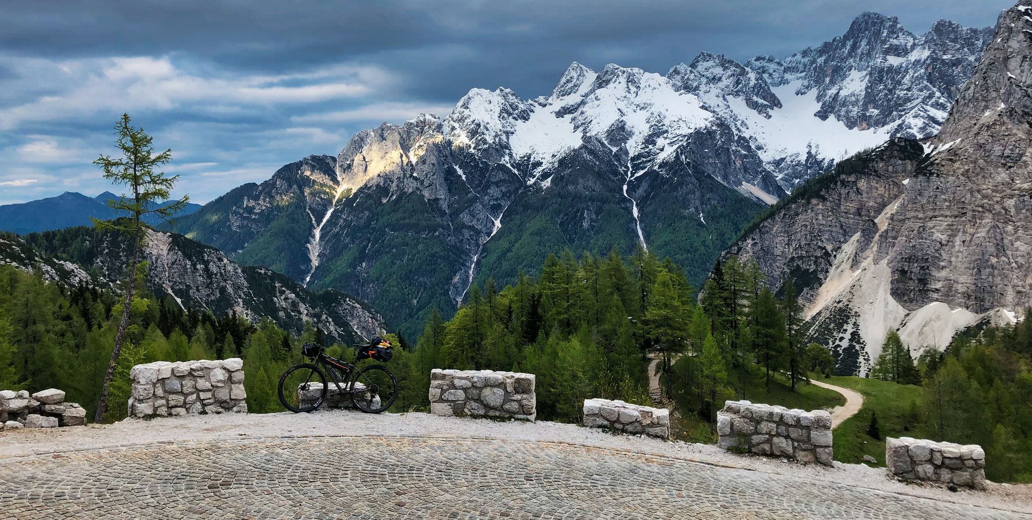
My first bikepacking trip – four countries, joys and mistakes
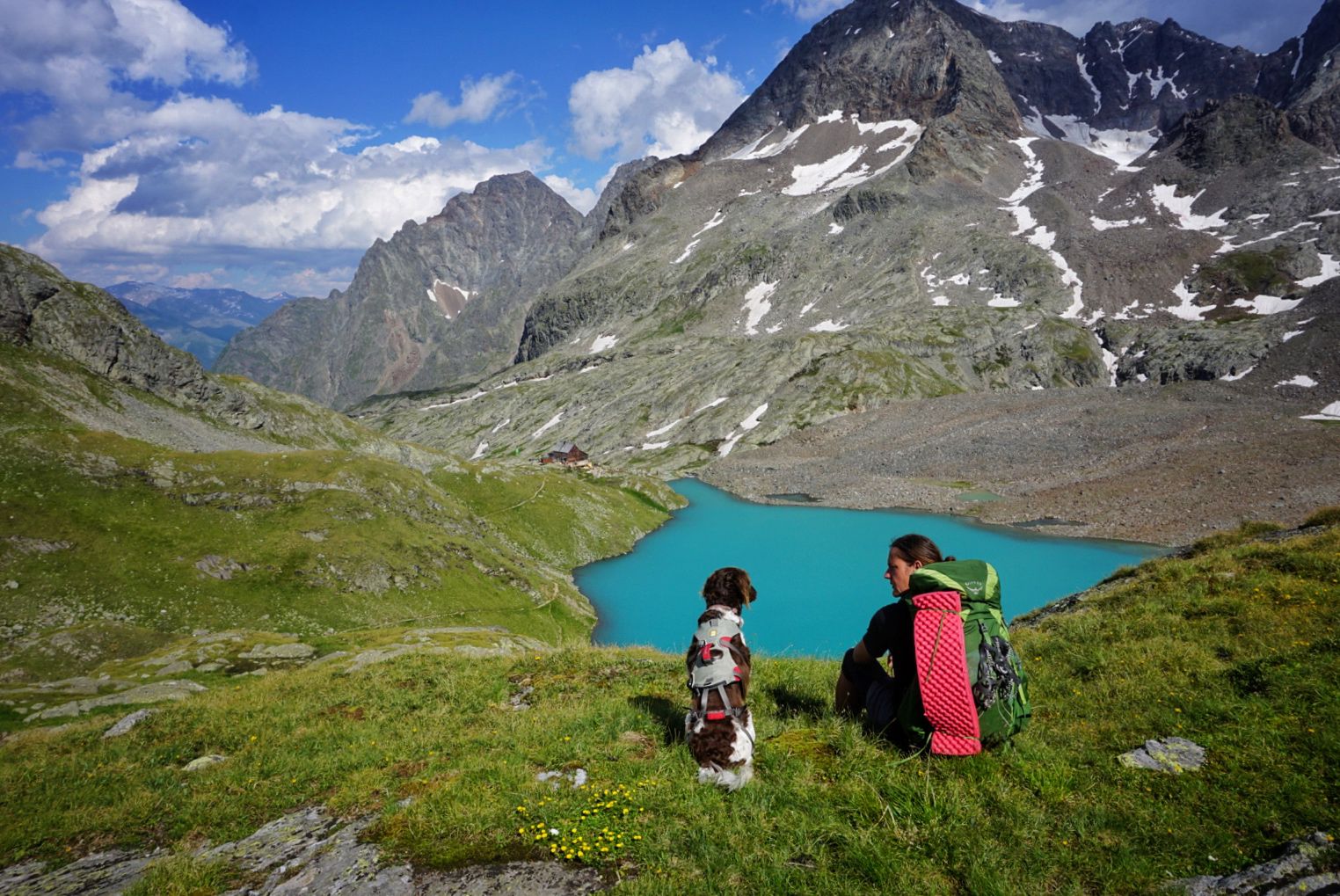
An alpine adventure – from east to west through Austria
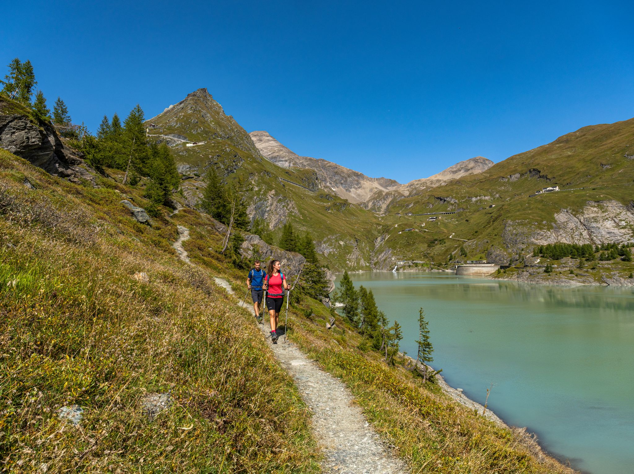
From the Grossglockner to the sea on the Alpe Adria Trail
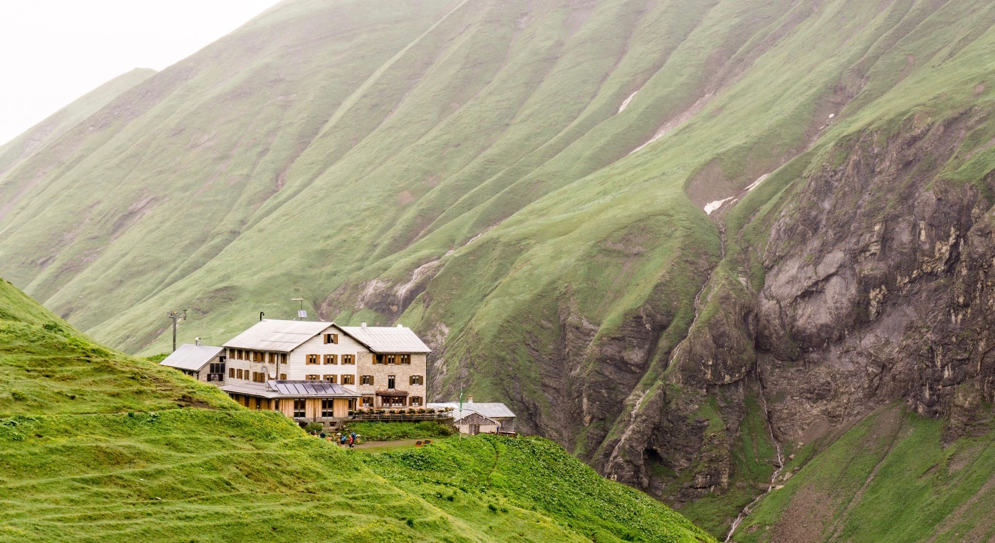
Huts for romantic getaways
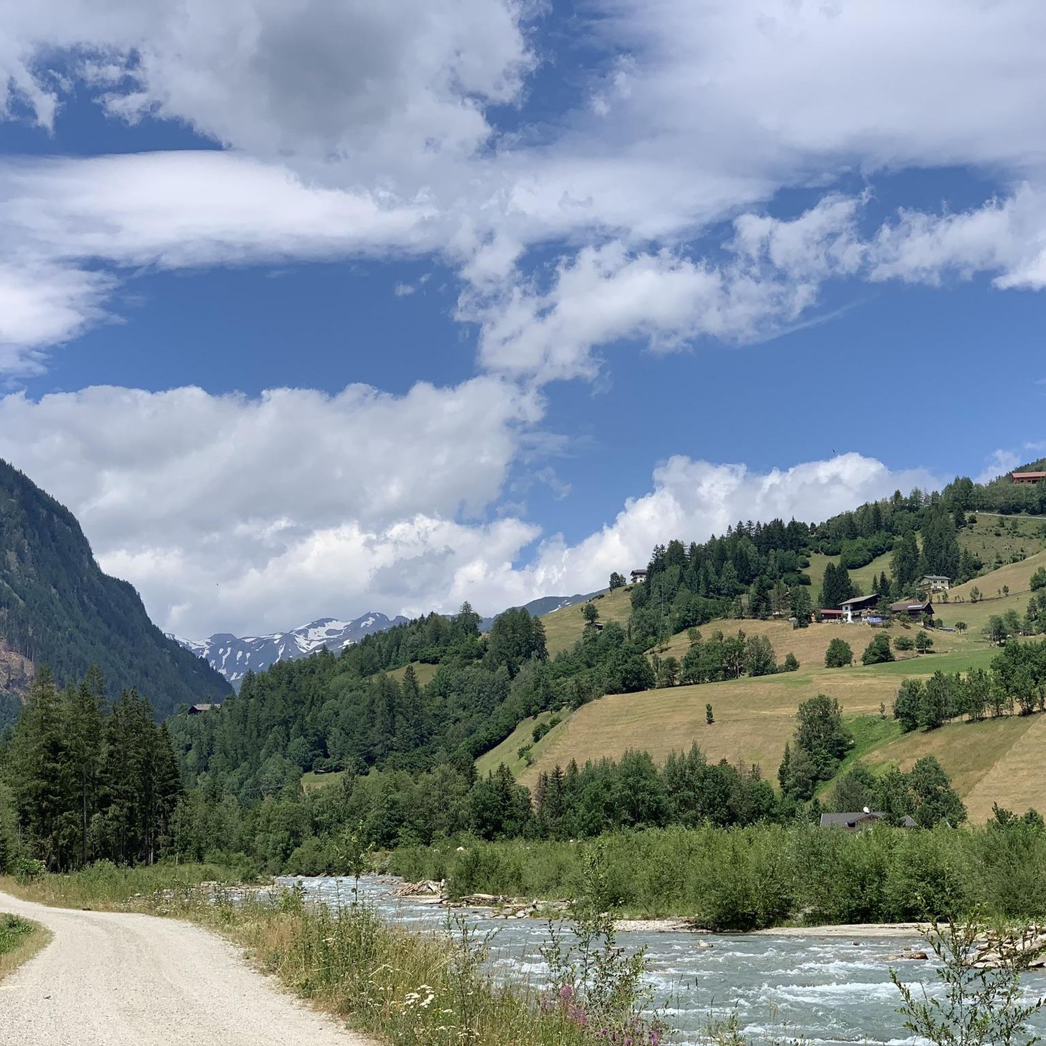
Hiking around Großkirchheim
Road Cycling Routes around Großkirchheim
Mountain Hikes around Großkirchheim
Other adventures around Großkirchheim


Tips from the Community

Amazing view over the valley
0
0

beautiful view of the waterfall
0
0


beautiful alpine pasture, but unfortunately closed in winter
0
0

A great hiking trail through the scree
0
0

From up here, you have a fantastic view of the Gößnit Waterfall. Below you, it rushes down a narrow mountain slope from a height of 70 meters. This makes it one of the most powerful waterfalls in the Hohe Tauern National Park.
0
0

The forest secret near the Rauriser UrQuell is a forest lake. It is mysterious because it can disappear overnight and reappear just as suddenly.
0
0

Unfortunately, it is no longer there since the mudslide. A new path has been created and it is still an experience.
1
0
Frequently Asked Questions
What kind of terrain can I expect on running routes around Großkirchheim?
The running routes in Großkirchheim traverse a diverse alpine landscape. You can expect high mountain trails, scenic valleys, alpine pastures, and paths winding along mountain streams, often featuring impressive waterfalls. The terrain offers varied challenges suitable for different fitness levels.
Are there any beginner-friendly running trails in Großkirchheim?
While there are no routes specifically classified as 'easy' in the area, Großkirchheim does offer several moderate running trails. A good option for those looking for a less strenuous run is the Kachlmoor – Scenic Mountain Trail loop from Heiligenblut, which is 4.3 miles (6.9 km) long and takes about 48 minutes to complete, offering varied natural landscapes.
How many running routes are available in the Großkirchheim region?
There are over 25 running routes available in the Großkirchheim region, catering to moderate and difficult ability levels. The komoot community has explored these trails over 300 times.
What do other runners enjoy most about jogging in Großkirchheim?
The running routes in Großkirchheim are highly rated by the komoot community, with an average score of 4.3 stars from 10 reviews. Runners often praise the diverse alpine scenery, the challenging mountain trails, and the presence of impressive waterfalls along the paths.
Are there any running routes that feature waterfalls?
Yes, Großkirchheim is known for its impressive waterfalls. A popular route that highlights this feature is the Maiden's Leap Waterfall loop from Rojach. This 4.6-mile (7.5 km) trail leads through scenic areas with a prominent waterfall and can be completed in about 50 minutes.
Can I find circular running routes in Großkirchheim?
Many of the running routes in Großkirchheim are designed as loops, allowing you to start and finish at the same point. For example, the challenging Durchgangalm – Mitterastenalm loop from Goldberggruppe is a 9.1-mile (14.6 km) trail with significant elevation gain, offering a full circular experience.
What are some notable landmarks or attractions I might see near the running trails?
While running in Großkirchheim, you might encounter several interesting natural and man-made landmarks. These include the Ködnitzbach Suspension Bridge, the scenic Margaritzen Reservoir, and various mountain passes like Hochtor (2,504 m), which is part of the Großglockner High Alpine Road.
Are there any longer, more challenging running routes for experienced runners?
Absolutely. Großkirchheim offers several difficult routes for experienced runners seeking a challenge. The Scenic Mountain Trail loop from Heiligenblut is a demanding 9.1-mile (14.7 km) trail with over 700 meters of elevation gain, providing a significant workout.
Is Großkirchheim suitable for running with dogs?
The alpine environment of Großkirchheim generally welcomes outdoor activities with dogs. However, specific regulations may apply in certain areas, especially within national park zones or near grazing livestock. It's always advisable to keep your dog on a leash and be mindful of local signage and wildlife.
What is the typical duration for running routes in Großkirchheim?
The duration of running routes in Großkirchheim varies significantly based on distance and elevation. Moderate routes, like the Maiden's Leap Waterfall – Maiden vault loop from Heiligenblut (5.6 miles / 9 km), can take around 1 hour, while more difficult and longer trails may require 2 hours or more to complete.
Are there any running trails that offer mountain views?
Given its location within the Goldberggruppe, most running trails in Großkirchheim offer spectacular mountain views. Routes often traverse alpine pastures and higher elevations, providing panoramic vistas of the surrounding peaks and valleys.
Most popular routes around Großkirchheim
Most popular attractions around Großkirchheim

Get inspired with the komoot mobile app


Explore more
Browse the best Running Trails & Routes in other regions.
