The best hikes from bus stations around Großkirchheim
4.6
(6200)
34,551
hikers
10
hikes
Hiking around Großkirchheim offers access to diverse alpine landscapes within the Hohe Tauern National Park. The region features extensive valleys like Zirnitz, Graden, and Gartl, characterized by forests and prominent waterfalls. Glacial formations and high-alpine terrain define the higher elevations, providing varied environments for exploration.
Best bus station hiking trails around Großkirchheim
- The most popular bus station hiking route is Gartl Waterfall – Döllach Parish Church loop from Gemeindeamt Großkirchheim, a 3.9 miles (6.3 km) trail that takes 1 hour 51 minutes to complete, leading past a notable waterfall and historical church.
- Another top favourite among local hikers is Großkirchheim Castle – Döllach Parish Church loop from Gemeindeamt Großkirchheim, a moderate 5.1 miles (8.2 km) path. This route offers views of Großkirchheim Castle and the Döllach Parish Church.
- Local hikers also love the Gradental Trailhead Parking – Gradenmoos loop from Großkirchheim, a 10.8 miles (17.5 km) trail leading through the Graden Valley, often completed in about 5 hours 55 minutes.
- Hiking around Großkirchheim is defined by alpine environments, glacial valleys, and roaring waterfalls. The network offers options for different ability levels, from easy walks to challenging high-alpine routes.
- The routes in Großkirchheim are highly rated by the komoot community with an average score of 4.6 stars from over 6000 reviews. More than 34000 hikers have used komoot to explore Großkirchheim's varied terrain.
Last updated: June 27, 2026
4.8
(11)
63
hikers
Easy hike. Great for any fitness level. Easily-accessible paths. Suitable for all skill levels.
4.8
(9)
59
hikers
17.5km
05:55
900m
900m
Hard hike. Very good fitness required. Easily-accessible paths. Suitable for all skill levels.

Sign up for free
4.4
(9)
24
hikers
Moderate hike. Good fitness required. Easily-accessible paths. Suitable for all skill levels.
4.3
(4)
29
hikers
Easy hike. Great for any fitness level. Easily-accessible paths. Suitable for all skill levels.
4.7
(6)
13
hikers
14.3km
04:30
580m
580m
Moderate hike. Good fitness required. Easily-accessible paths. Suitable for all skill levels.
Get access to more routes and recommendations from other explorers.
Sign up for free
Already have an account?
Our route recommendations are based on thousands of hikes, rides, and runs completed by other people on komoot.
Start today with a free account
Your next adventure awaits.
Login or Signup
Popular around Großkirchheim
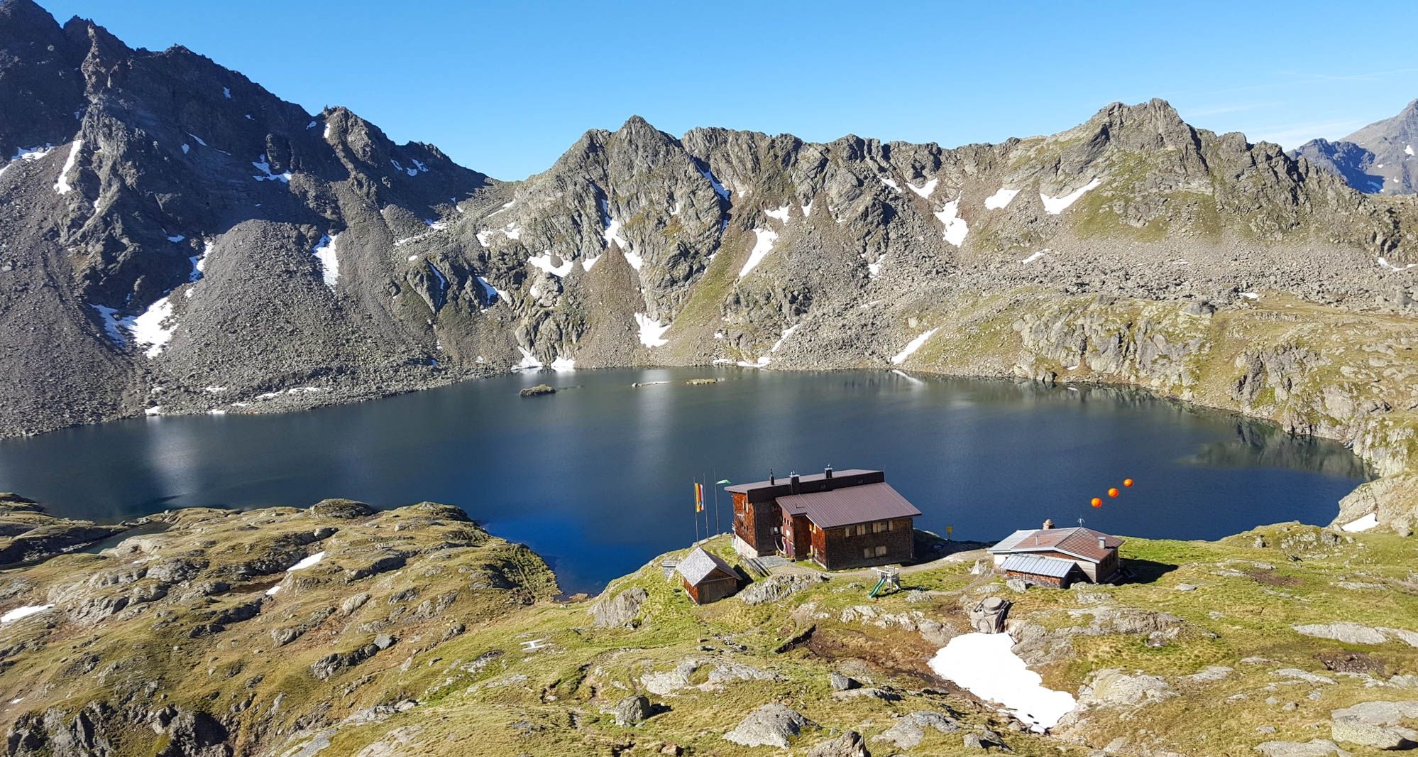
Wiener Höhenweg in Austria – 6 stages in the Schober Group

Alpe-Adria-Trail: My long-distance hike from the glacier to the sea
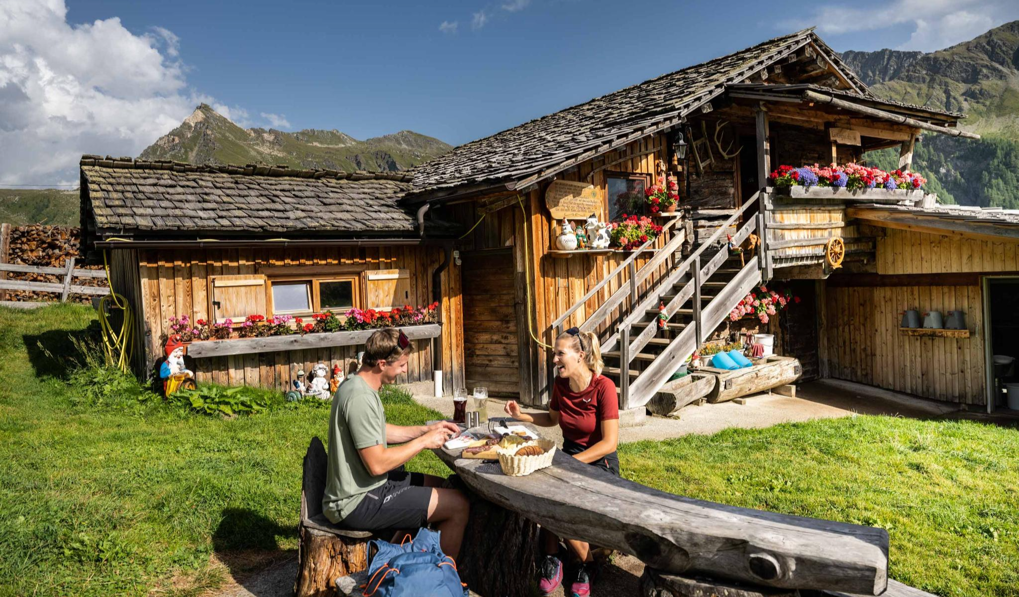
Peak happiness – hut hikes in the High Tauern

An alpine adventure – from east to west through Austria

From the Grossglockner to the sea on the Alpe Adria Trail
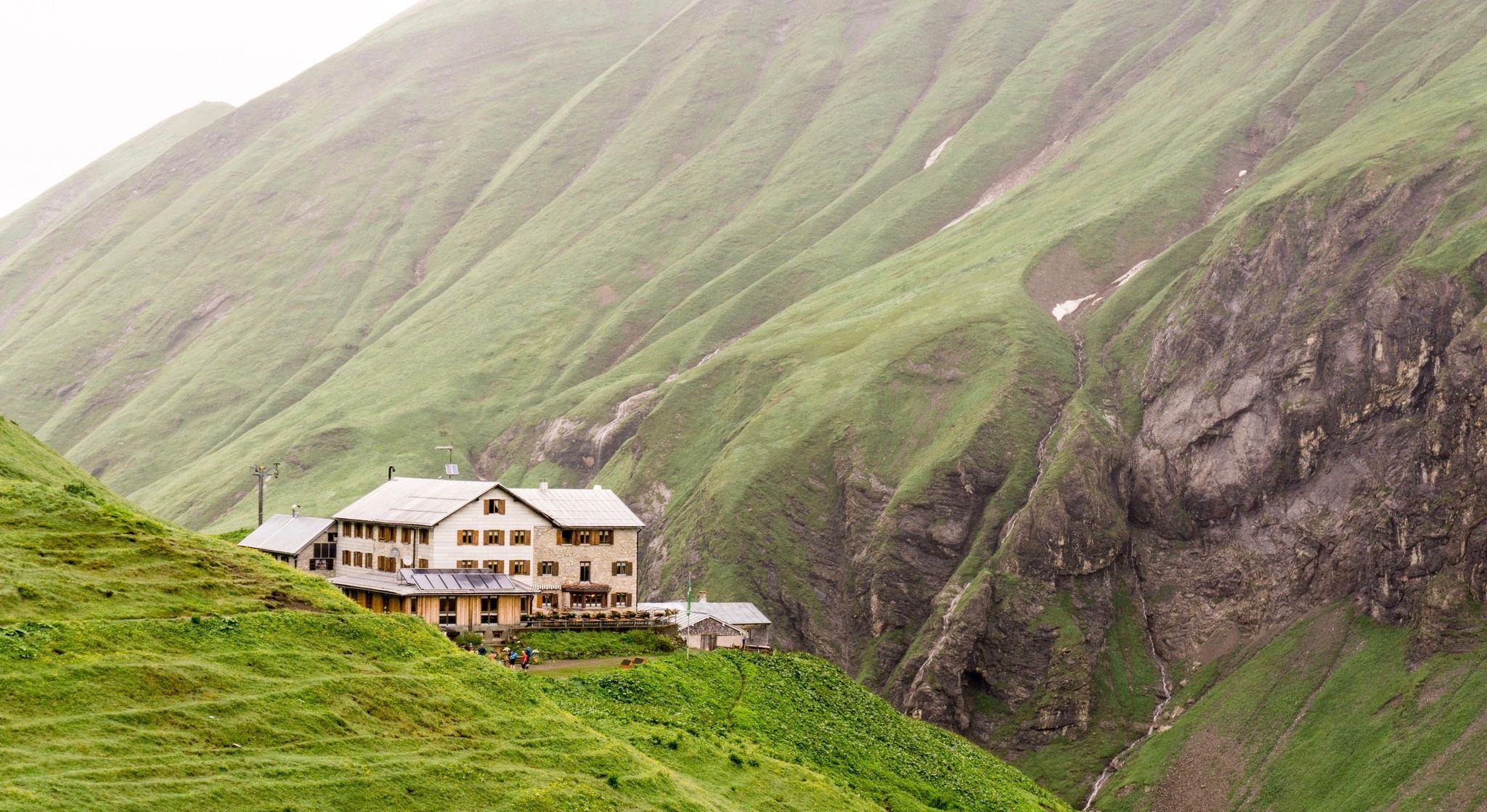
Huts for romantic getaways
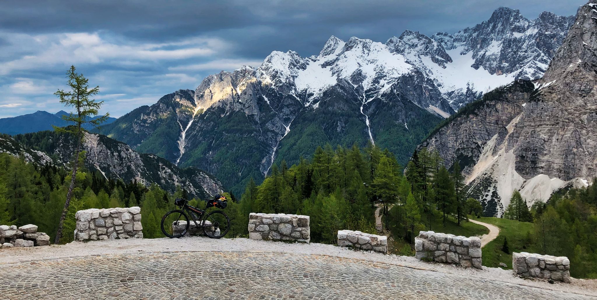
My first bikepacking trip – four countries, joys and mistakes
Other adventures around Großkirchheim


Tips from the Community

...with a beautiful view of the water
0
0

Two benches with their backs to each other. It's hard to decide which direction to look. 🤔
0
0
The other paths are currently closed
0
0
Open Monday to Friday from 7:30-12:00 and 13:00-16:30
0
0
Be sure to visit; there's so much to discover inside. It's worth seeing!
0
0

You can easily cycle to the entrance, but from there you have to walk. It's very beautiful here; it's 90% shaded, there are plenty of places to sit, and it's beautifully landscaped. Since there's no entry fee, you should definitely stop by. Of course, there's a great parking lot 150 meters below the entrance.
0
0

What a struggle to get up here, but the joy is even greater when you have made it and are standing at the top of the pass. Great panorama.
0
1

Beautiful traditional church on the Grossglocknerstraße
0
0
Frequently Asked Questions
How many bus station hiking trails are available around Großkirchheim?
You'll find over 10 hiking trails accessible directly from bus stations around Großkirchheim, offering a variety of experiences for different skill levels.
Are there easy or family-friendly hiking options from bus stops in Großkirchheim?
Yes, Großkirchheim offers several easy and family-friendly routes accessible by bus. A great option is the Bench With a View of the River – Gartl Waterfall loop from Gemeindeamt Großkirchheim, which is a short and scenic walk. Another easy choice is the Großkirchheim Natural Swimming Pool loop from Gemeindeamt Großkirchheim, perfect for a relaxed outing.
Can I find circular hiking routes starting from bus stations in Großkirchheim?
Absolutely. Many of the trails are designed as loops, bringing you back to your starting point. For example, the Gartl Waterfall – Döllach Parish Church loop from Gemeindeamt Großkirchheim offers a beautiful circular experience, combining natural beauty with local landmarks.
Are there any trails that feature waterfalls near Großkirchheim bus stops?
Yes, the region is known for its roaring waterfalls. The Gartl Waterfall – Döllach Parish Church loop from Gemeindeamt Großkirchheim will lead you directly to the impressive Gartl Wasserfall, a place of power and energy, with the accessible "Urschreibecken" below it.
What kind of scenic viewpoints or natural attractions can I expect on these hikes?
The trails around Großkirchheim, nestled within the Hohe Tauern National Park, offer stunning alpine landscapes. You can discover highlights like the Kaiser Franz Josef's Viewpoint, offering panoramic vistas, or explore the majestic Hochtor (2,504 m) mountain pass. The region is characterized by glaciers, ice-age-formed valleys, and extensive forests.
Are there more challenging or longer hikes accessible by bus?
For those seeking a more demanding adventure, the Gradental Trailhead Parking – Gradenmoos loop from Großkirchheim is a difficult route that takes you through the beautiful Graden valley, offering significant elevation gain and a longer distance.
What do other hikers enjoy most about the bus station trails in Großkirchheim?
The komoot community highly rates the hiking experiences in Großkirchheim, with an average score of 4.6 stars from over 6,000 ratings. Hikers often praise the stunning alpine scenery, the well-maintained trails, and the convenience of accessing diverse routes directly from public transport stops.
Are there any historical or cultural points of interest along these routes?
Beyond natural beauty, Großkirchheim has a rich history. The Großkirchheim Castle – Döllach Parish Church loop from Gemeindeamt Großkirchheim allows you to explore local landmarks like the Döllach Parish Church and the historic Großkirchheim Castle, offering a glimpse into the region's past.
Can I find mountain huts or places to eat along the bus-accessible trails?
While specific routes from bus stations might not always pass directly by huts, the Großkirchheim region is well-equipped with mountain huts like the Salmhütte, Luckner Hut, and Glorer Hut, which serve as excellent points for hikers, offering regional specialties. You might need to plan a slight detour or choose a longer route to reach them.
What is the best time of year to hike the bus station trails in Großkirchheim?
The summer months are ideal for exploring the diverse hiking trails around Großkirchheim, offering pleasant temperatures and full accessibility to the alpine environment. However, the region's beauty can be enjoyed in spring and autumn as well, with vibrant colors and fewer crowds. Always check local weather conditions before heading out.
Are dogs allowed on the hiking trails accessible by bus in Großkirchheim?
Generally, dogs are welcome on most hiking trails in the Großkirchheim area, especially within the Hohe Tauern National Park. However, it's always recommended to keep them on a leash, especially in protected areas, near livestock, or in crowded sections. Please ensure you clean up after your pet.
Most popular routes around Großkirchheim
Most popular attractions around Großkirchheim

Get inspired with the komoot mobile app


Explore more
Browse the best Hikes in other regions.
