The best running trails in the Snowy Mountains
3.7
(11)
1,183
runners
116
runs
Jogging in the Snowy Mountains offers diverse terrain across sweeping mountains, alpine forests, and open ridgelines. The region is characterized by its natural features, including crystal-clear streams, Snow Gums, and varied landscapes that range from flowing fire trails to rocky ridgelines and forested singletrack. These conditions provide a dynamic experience for runners, with options for different levels of challenge. The high-altitude environment and expansive spaces make it a notable destination for running.
Best jogging routes in the Snowy Mountains
- The most popular jogging route is Mount Kosciuszko summit loop from Charlotte Pass, a 13.7 miles (22.0 km) trail that takes 2 hours 31 minutes to complete. This difficult route offers significant elevation gain towards Australia's highest peak.
- Another top favourite among local runners is Rawson Pass – Mount Kosciuszko summit loop from Charlotte Pass, a difficult 11.6 miles (18.7 km) path. This route provides an alternative approach to the summit, traversing alpine terrain.
- Local runners also love the Picture Point – Tobias Gap loop from Harrietville, a 11.0 miles (17.6 km) trail leading through varied mountain landscapes, often completed in about 2 hours 47 minutes.
- Jogging in the Snowy Mountains is defined by sweeping mountains, alpine forests, and open ridgelines. The network offers options for different ability levels, from moderate paths to challenging mountain ascents.
- The routes in Snowy Mountains are highly rated by the komoot community with an average score of 3.0 stars from 2 reviews. More than 1500 runners have used komoot to explore Snowy Mountains's varied terrain.
Last updated: July 4, 2026
43
runners
20.9km
03:21
1,250m
1,250m
Hard run. Very good fitness required. Mostly paved surfaces. Suitable for all skill levels.
46
runners
5.98km
00:37
40m
30m
Moderate run. Good fitness required. Mostly paved surfaces. Suitable for all skill levels.

Sign up for free
38
runners
25.2km
02:56
490m
490m
Hard run. Very good fitness required. Mostly paved surfaces. Suitable for all skill levels.
3.0
(3)
35
runners
7.56km
00:50
40m
40m
Moderate run. Good fitness required. Mostly paved surfaces. Suitable for all skill levels.
31
runners
17.5km
02:58
1,120m
1,120m
Hard run. Very good fitness required. Mostly paved surfaces. Suitable for all skill levels.
27
runners
10.9km
01:40
470m
470m
Hard run. Very good fitness required. Mostly accessible paths. Some sure footedness required.
29
runners
21.6km
03:11
1,010m
1,010m
Hard run. Very good fitness required. Mostly accessible paths. Some sure footedness required.
5.0
(1)
23
runners
14.1km
02:04
650m
650m
Hard run. Very good fitness required. Mostly paved surfaces. Suitable for all skill levels.
20
runners
25.6km
03:13
890m
890m
Hard run. Very good fitness required. Mostly paved surfaces. Suitable for all skill levels.
25
runners
53.0km
08:02
2,590m
2,600m
Hard run. Very good fitness required. Mostly paved surfaces. Suitable for all skill levels.
Get access to more routes and recommendations from other explorers.
Sign up for free
Already have an account?
Our route recommendations are based on thousands of hikes, rides, and runs completed by other people on komoot.
Start today with a free account
Your next adventure awaits.
Login or Signup

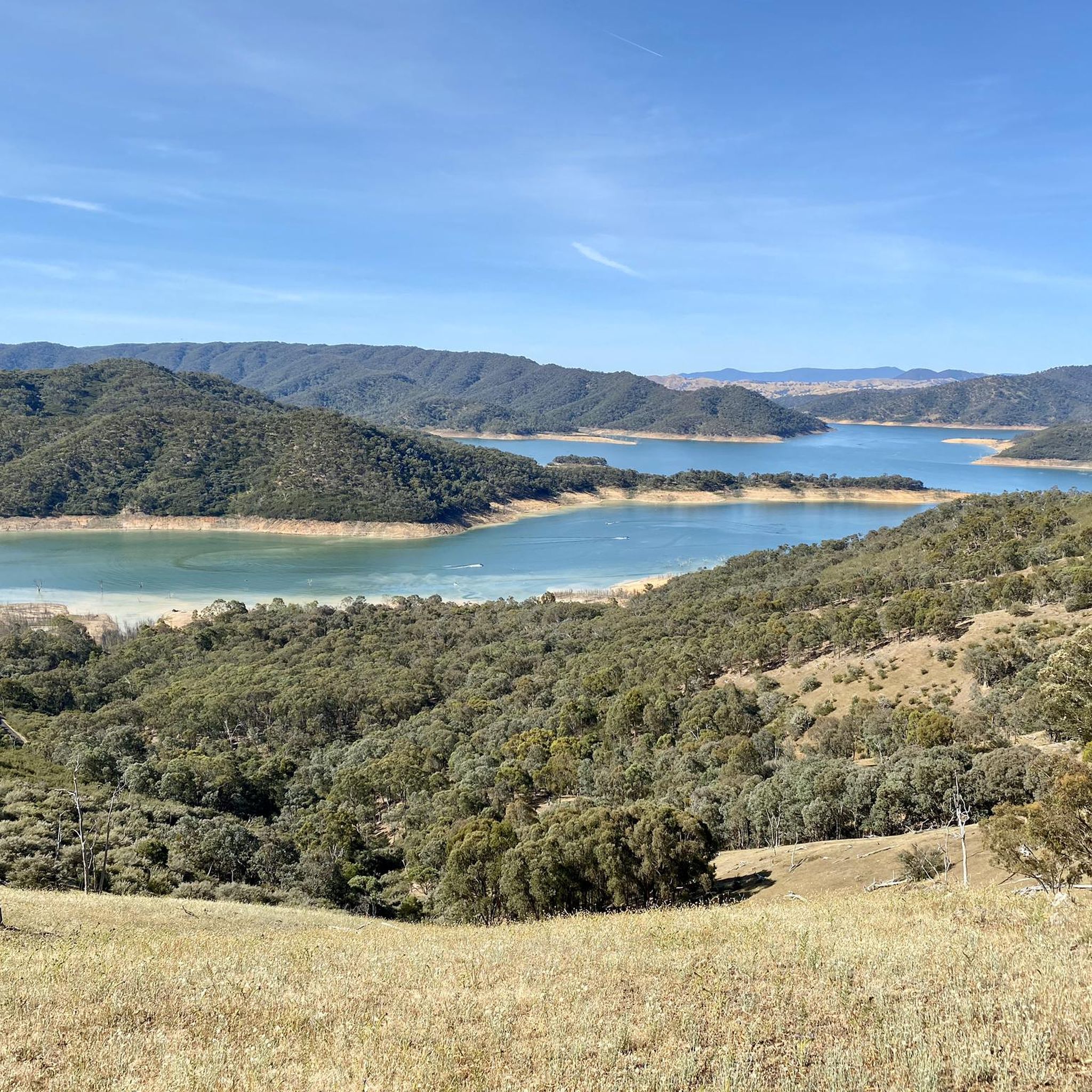
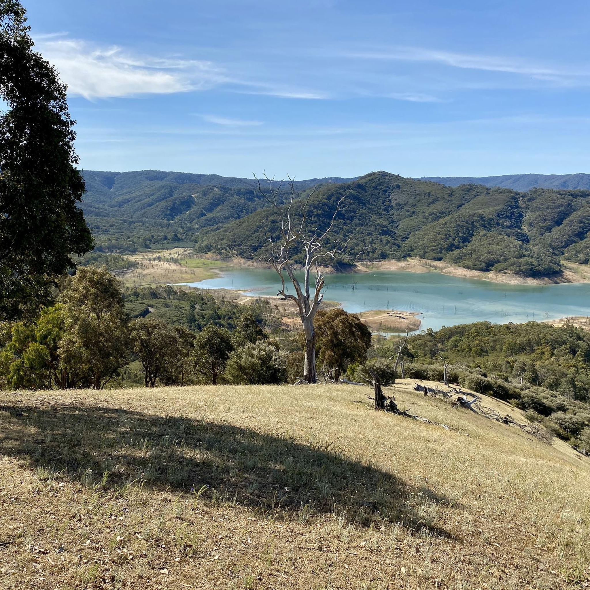
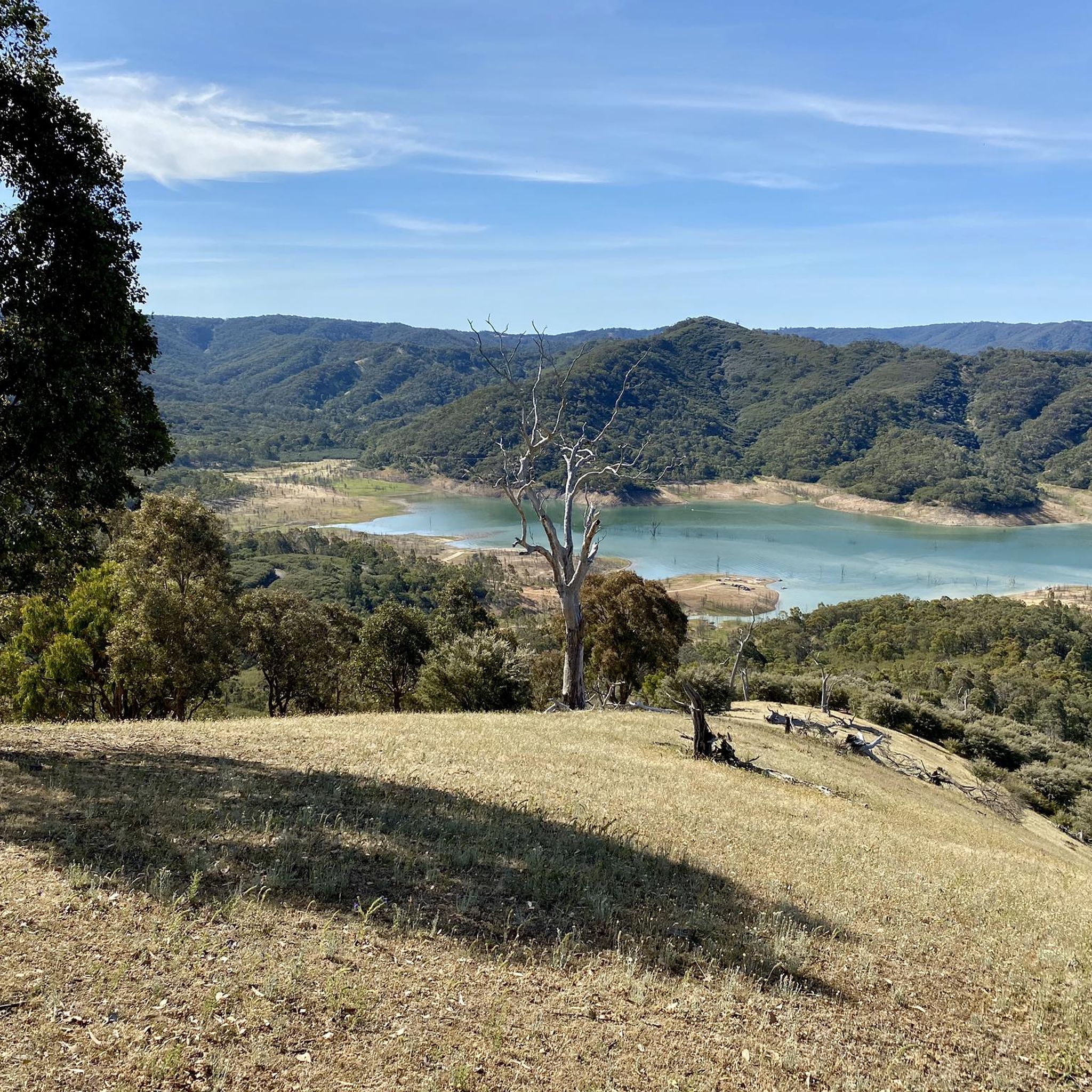
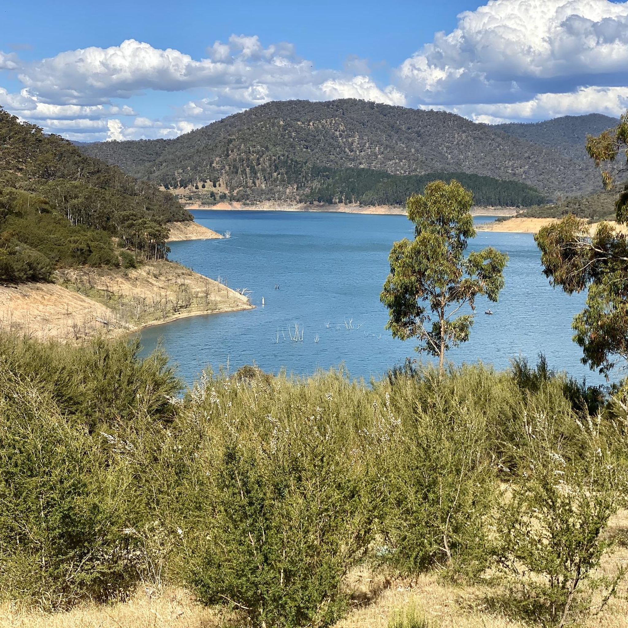

Other adventures in the Snowy Mountains

Tips from the Community

Centenary Park sits along the Ovens River in Bright, acting as a main access point for several local walks, including the Canyon Walk. It’s a well-used riverside park with open grassy areas, shaded trees, and space to relax by the water. You’ll find picnic and swimming spots, a playground, and easy access down to the riverbank. Parking is available nearby, there’s no entry fee, and facilities including toilets are located within the park.
0
0
Canyon Walk follows a well-signposted track along both banks of the river, passing a small canyon carved by the Ovens River and historic water races from early mining days. The southern bank from Howitt Park is sealed and wheelchair accessible, while the northern side includes steps and short, steeper sections. Suspension bridges allow you to create short or longer loops. It’s an easy to moderate walk overall, with birdlife and wildflowers common in spring.
0
0

Mount Feathertop, at 1,922 metres, is Victoria’s second‑highest peak and one of its most impressive, with steep, angular slopes unlike the rounded domes of nearby summits with sweeping 360-degree views across surrounding ranges, especially in clear weather. It forms part of the Victorian Alps in the Alpine National Park and is often snow‑covered from June to September. The mountain is joined to Mount Hotham by the Razorback ridge, making it a standout in the High Country.
0
0
This junction marks the turnoff from the Razorback Track to the main camping and shelter area below Mount Feathertop. The nearby Federation Hut provides a modern emergency day use and overnight refuge, and is a popular base for summit attempts, with tent sites scattered across the surrounding alpine flats (no fee).
0
0
The Razorback Track is one of Victoria’s most iconic alpine walks, traversing a narrow, high ridge between Mount Hotham and Mount Feathertop through Alpine National Park. It follows a wide, undulating ridgeline with expansive views across the Victorian Alps and sections of snow gum woodland and alpine heath. The track is generally well-defined but exposed to the weather, making conditions highly changeable; walkers must be fit and prepared for rapidly varying conditions, with winter conditions requiring alpine experience.
0
0

Arguably Australia’s most spectacular climb, the road up Mount Hotham twists up some unforgiving landscapes, beyond the tree line and up to an alpine resort. Over 30 kilometres of climbing at an average of 4.2%, this is truly a Hors Catégorie climb, bringing you up the highest year-round accessible sealed road in Australia. Mount Hotham is part of our Montagnes du Monde series, head over to https://bit.ly/2W1ANMp and claim your badge if you rode this classic.
2
0

Via the Razorback trail, 10km each way over a magnificent alpine ridge at 1850m ASL.
1
0
Frequently Asked Questions
How many running routes are available in the Snowy Mountains?
The Snowy Mountains region offers a wide selection of running routes, with over 130 trails available for exploration. These range from moderate paths to challenging mountain ascents, catering to various fitness levels.
What kind of terrain can I expect on running trails in the Snowy Mountains?
You'll encounter diverse terrain, from flowing fire trails and rocky ridgelines to forested singletrack. The landscape features sweeping mountains, vibrant wildflowers, crystal-clear streams, and distinctive Snow Gums, providing a dynamic and scenic experience.
When is the best time of year for running in the Snowy Mountains?
Once the winter snows melt, the region comes alive, making spring, summer, and autumn ideal for running. The cool alpine air and expansive open spaces provide excellent conditions, especially when wildflowers are in bloom.
Are there any easy or beginner-friendly running paths in the Snowy Mountains?
Yes, while many routes are challenging, there are options suitable for beginners. For instance, the Point Hut Pond loop from Banks is a moderate 6 km route that offers a gentler introduction to running in the area.
Where can I find challenging long-distance running trails in the Snowy Mountains?
For those seeking a significant challenge, the Snowy Mountains deliver. Routes like the Picture Point – Tobias Gap loop from Harrietville, at 17.6 km with over 1000m elevation gain, or the Mount Feathertop – Geezer Hill loop from Hotham Central (22 km), provide demanding experiences with breathtaking views.
Are there any circular running routes in the Snowy Mountains?
Yes, many routes in the Snowy Mountains are designed as loops, offering varied scenery without retracing your steps. Examples include the challenging Mount Kosciuszko summit loop from Charlotte Pass and the Redwood Forest loop from Warburton.
What interesting landmarks or attractions can I see while running in the Snowy Mountains?
The region is rich in natural and historical attractions. You can run past significant peaks like Mount Kosciuszko Summit lookout or Mount Feathertop. Historic sites such as Seaman's Hut and Horse Camp Hut are also accessible along various trails, offering a glimpse into the region's heritage.
Are there dog-friendly running trails in the Snowy Mountains?
While dogs are generally not permitted in Kosciuszko National Park to protect wildlife, there are other areas in the broader Snowy Mountains region where dog-friendly trails might be found. Always check local regulations for specific trails before heading out with your pet.
Are there family-friendly running routes in the Snowy Mountains?
Yes, the Snowy Mountains offer routes suitable for families. The Thredbo Valley Track, for example, can be enjoyed in shorter, flatter sections, providing an accessible and scenic experience for all ages along the riverside.
What are the typical running conditions in the Snowy Mountains?
Conditions can vary significantly due to the alpine environment. Expect cool alpine air, especially at higher elevations. The terrain can shift from smooth paths to rocky and uneven surfaces. Always be prepared for changing weather, even in summer, and check forecasts before your run.
Is parking available at the trailheads for running routes in the Snowy Mountains?
Many popular trailheads, such as Charlotte Pass and those along the Thredbo Valley Track, offer designated parking areas. It's advisable to research specific route starting points for detailed parking information, especially during peak seasons.
What do other runners enjoy most about the trails in the Snowy Mountains?
The trails in the Snowy Mountains are highly rated by the komoot community, with an average score of 3.0 stars. Runners frequently praise the breathtaking mountain views, the diverse and engaging terrain, and the refreshing alpine conditions that make for a comprehensive workout for 'legs, lungs, and brain all at once'.
Can I find running routes that pass by waterfalls in the Snowy Mountains?
Yes, the region's natural features include crystal-clear streams, and specific trails like the Waterfall Walking Track near Jindabyne offer sheltered walks with opportunities to experience these natural cascades.
Most popular routes in the Snowy Mountains
Most popular attractions in the Snowy Mountains

Get inspired with the komoot mobile app


Explore more
Browse the best Running Trails & Routes in other regions.
