The best walks and hikes around Rusthall
4.4
(856)
5,569
hikers
468
hikes
Hikes around Rusthall explore the High Weald National Landscape, a region known for its mix of heathland, ancient woodland, and open commons. The area is characterized by its notable sandstone outcrops, such as Toad Rock and High Rocks, which are features on many local trails. The terrain is generally composed of rolling hills and wooded valleys, offering a variety of walking experiences near Tunbridge Wells.
Best hiking trails around Rusthall
- The most popular hiking route is High Rocks loop from Langton Green — High Weald, a 6.4 mile (10.4 km) trail that takes around 2 hours 45 minutes to complete. This moderate route features sections through woodland and open fields.
- Another top favourite among local hiking enthusiasts is St Mary's Church, Speldhurst – St Mary's Church, Speldhurst loop from Rusthall, an easy 4.1 mile (6.6 km) path. The trail follows a circular route with gentle gradients suitable for most skill levels.
- Local hiking enthusiasts also love the Eridge Rocks – Harrison's Rocks loop from Tunbridge Wells, a 13.8 mile (22.3 km) trail leading through the area's notable rock formations, often completed in about 6 hours.
- Hiking around Rusthall is defined by sandstone outcrops, expansive commons, and ancient woodlands. The network of trails offers options for different ability levels, from short, easy walks to more demanding long-distance hikes.
- The routes in Rusthall are highly rated by the komoot community with an average score of 4.4 stars from over 650 reviews. More than 5,000 hikers have used komoot to explore Rusthall's varied terrain.
Last updated: October 4, 2026
4.7
(3)
19
hikers
10.4km
02:46
120m
120m
Moderate hike. Good fitness required. Easily-accessible paths. Suitable for all skill levels.
4.9
(16)
105
hikers
22.3km
06:00
290m
290m
Hard hike. Very good fitness required. Easily-accessible paths. Suitable for all skill levels.

4.6
(10)
35
hikers
18.0km
04:50
220m
220m
Moderate hike. Good fitness required. Easily-accessible paths. Suitable for all skill levels.
4.7
(7)
26
hikers
6.52km
01:47
100m
100m
Easy hike. Great for any fitness level. Easily-accessible paths. Suitable for all skill levels.
4.2
(6)
37
hikers
17.4km
04:44
250m
250m
Moderate hike. Good fitness required. Easily-accessible paths. Suitable for all skill levels.
Get access to more routes and recommendations from other explorers.
Already have an account?
Our route recommendations are based on thousands of hikes, rides, and runs completed by other people on komoot.
Start today with a free account
Your next adventure awaits.


Tips from the Community


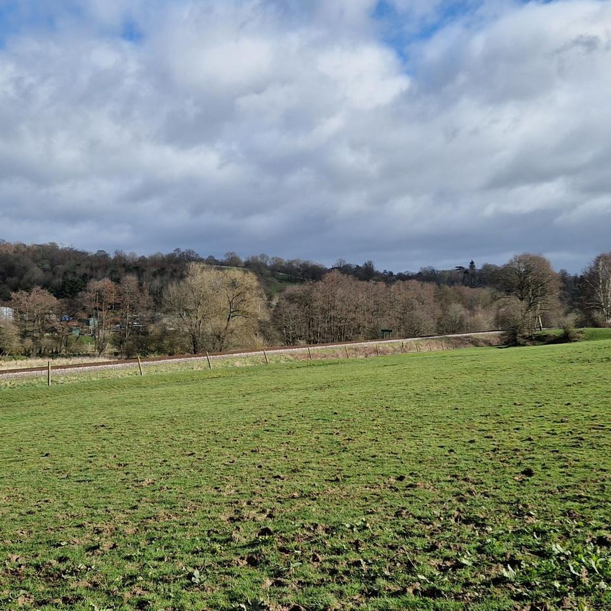
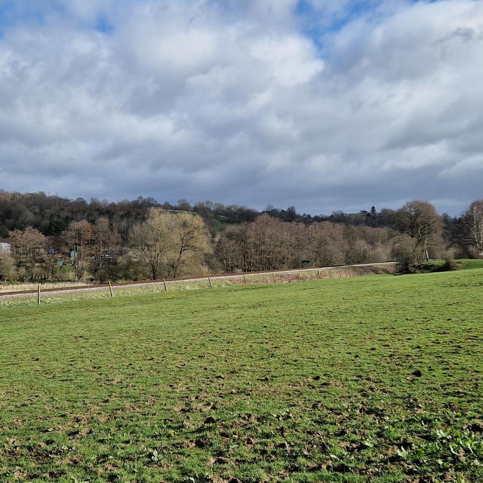
Path around the edge of Eridge Old Park, Restoration of the Park is currently being undertaken by the Nevill Estate with the aim of encouraging deer to repopulate
0
0
Stunning lake with cute wooden bridge surrounded by trees, some look ancient.
0
0

Amazing pub with very friendly staff. Great place to pop in after your walk around Groombridge Place.
0
0
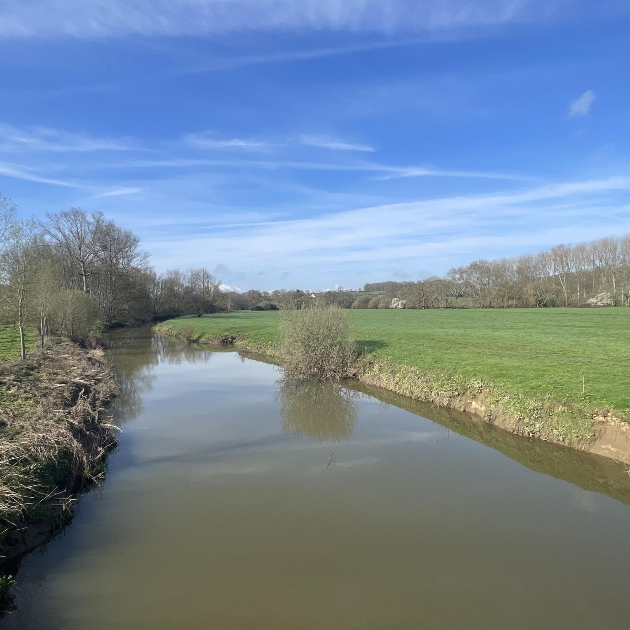
The river is set around Groombridge place great fun if you going with your dog that likes water. There are couple of little bridges around it and great 1 listed property with beautiful pond and moat around it. Plenty of wildlife to look out for too.
0
0
Frequently Asked Questions
What is the landscape like on the trails around Rusthall?
The hiking trails around Rusthall are set within the High Weald National Landscape. Expect a varied terrain of rolling hills, ancient woodlands, and open heathland on Rusthall and Tunbridge Wells Commons. A defining feature of the area is the dramatic sandstone outcrops, like Toad Rock and High Rocks, which you'll encounter on many walks.
Are there many circular walks available?
Yes, the area is well-suited for circular hikes. Many routes are designed as loops, starting and ending in convenient locations like Rusthall, Langton Green, or Speldhurst. This makes it easy to plan a walk without needing to retrace your steps.
Are there any easy, family-friendly hikes in the Rusthall area?
Definitely. There are numerous child-friendly walks, especially around the commons. The trails here often feature fascinating rock formations for kids to explore. For a straightforward and pleasant walk, consider the St Mary's Church, Speldhurst – St Mary's Church, Speldhurst loop from Rusthall, which is an easy 6.6 km route with gentle gradients.
Can I bring my dog on the hikes?
Yes, the walking trails around Rusthall are generally very dog-friendly, with plenty of open space on the commons and woodland paths for them to explore. As always, it's best to keep dogs on a lead where livestock is present or near sensitive wildlife areas, and to follow local signage.
Where can I find good views near Rusthall?
For impressive long-distance views, head towards the southern side of Rusthall Common. From here, you can look out over the beautiful Happy Valley towards the Ashdown Forest. Many of the routes that climb the area's rolling hills will reward you with scenic vistas of the High Weald countryside.
What are the trail conditions like in winter?
Like much of the High Weald, paths can become quite muddy during the winter months or after heavy rain, particularly in wooded areas and across fields. It's highly recommended to wear waterproof hiking boots. Some paths, like those in Happy Valley, have steps that can be slippery when wet.
Is it possible to reach the trailheads using public transport?
Yes, many walks are accessible via public transport. Tunbridge Wells has a mainline train station, and from there, local bus services can take you to Rusthall and surrounding villages. This makes it convenient to start hikes on Rusthall Common or Tunbridge Wells Common without a car.
Where can I park for walks around Rusthall?
Free parking is often available for walks starting on the commons. You can find spaces along the roads bordering Tunbridge Wells Common and Rusthall Common. For specific trailheads further afield, some may have dedicated car parks, like the one at Eridge Rocks Nature Reserve, which is a popular starting point.
Are there any challenging long-distance hikes?
Yes, for those seeking a more demanding trek, the area offers several options. A great example is the Eridge Rocks – Harrison's Rocks loop from Tunbridge Wells. This 22.3 km route is a substantial day hike that takes you through some of the region's most significant geological features.
What do other hikers think of the trails around Rusthall?
The trails are highly regarded by the komoot community, with over 5,000 hikers having explored the area. The routes have an average rating of 4.4 stars, and reviewers frequently praise the unique sandstone rock formations and the peaceful, varied scenery of the woodlands and commons.
How many hiking trails are there to choose from?
There is a vast network of trails to explore. You can find over 450 hiking routes around Rusthall, with a good balance between easy, moderate, and difficult options. This includes short strolls on the common as well as more extensive day-long treks through the High Weald.
What are some notable points of interest to see on a walk?
The sandstone outcrops are the main attraction. Don't miss Toad Rock on Rusthall Common, a famous natural formation. Nearby, you can also find the High Rocks and the well-regarded Eridge Rocks Nature Reserve. For a peaceful and scenic spot, many walkers enjoy the trails through Happy Valley, a beautiful park area.
Most popular attractions around Rusthall

Get inspired with the komoot mobile app


Explore more
Browse the best Hikes in other regions.
