The best running trails around Chart Sutton
4.5
(51)
5,472
runners
354
runs
Jogging around Chart Sutton offers varied landscapes on the edge of the Weald of Kent, often referred to as the "Garden of England." The area features a mix of rural roads, agricultural lands with corn, fruit, and hop fields, and natural features like the "Quarry-hills" which divide the parish. Joggers can experience varied terrain through rolling hills and ancient woodlands, providing both scenic beauty and engaging challenges. The lower parts of the region are characterized by broad hedgerows and large…
Last updated: October 4, 2026
21
runners
8.75km
00:55
70m
70m
Moderate run. Good fitness required. Mostly paved surfaces. Suitable for all skill levels.
6
runners
8.37km
00:54
110m
110m
Moderate run. Good fitness required. Mostly paved surfaces. Suitable for all skill levels.

5
runners
6.17km
00:40
50m
50m
Moderate run. Good fitness required. Mostly paved surfaces. Suitable for all skill levels.
3
runners
13.8km
01:28
120m
120m
Moderate run. Good fitness required. Mostly paved surfaces. Suitable for all skill levels.
4
runners
6.30km
00:39
30m
30m
Moderate run. Good fitness required. Mostly paved surfaces. Suitable for all skill levels.
Get access to more routes and recommendations from other explorers.
Already have an account?
Our route recommendations are based on thousands of hikes, rides, and runs completed by other people on komoot.
Start today with a free account
Your next adventure awaits.
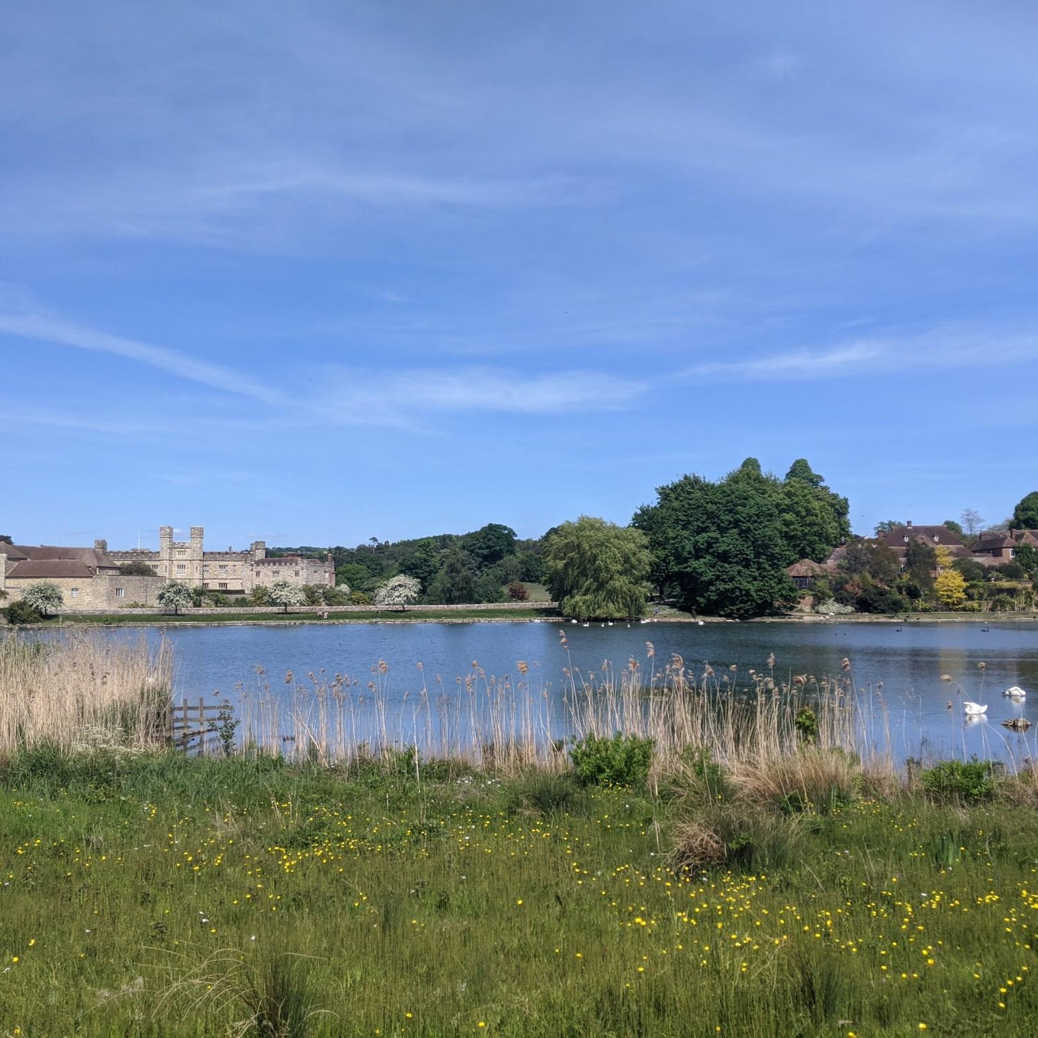
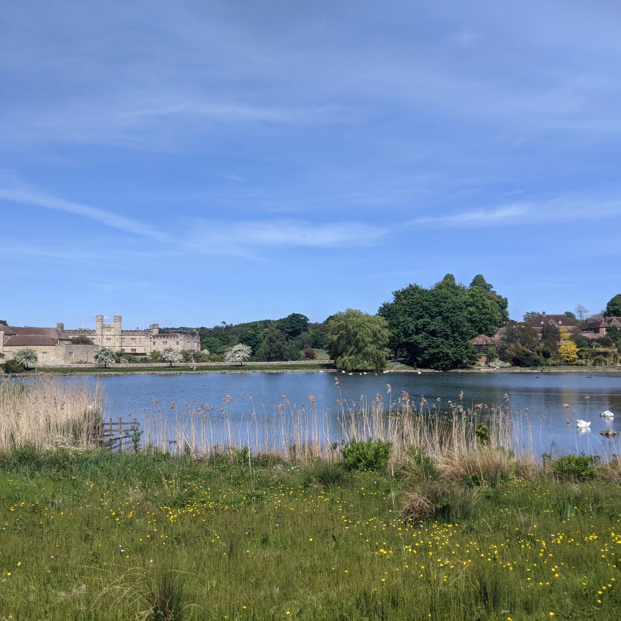
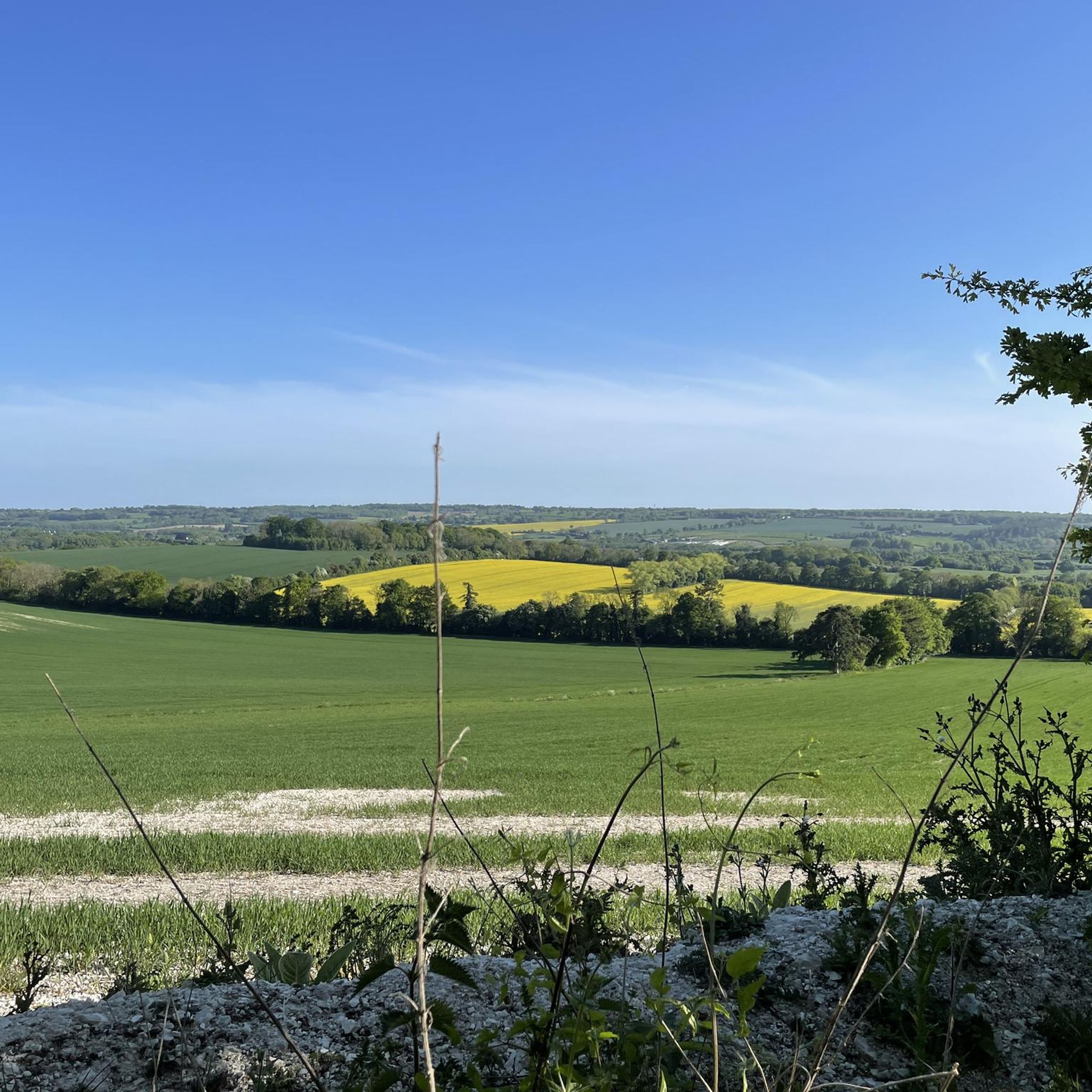
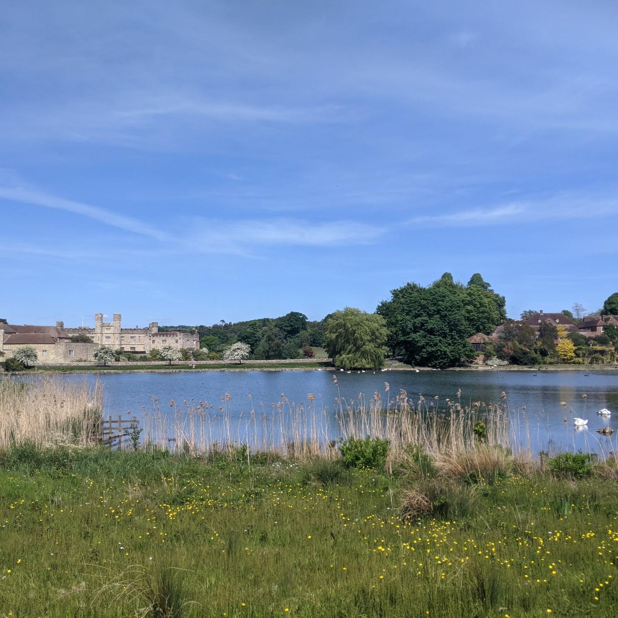
Tips from the Community

Sutton Valence Castle is a ruined Norman keep that was built in the 12th century. From 1238, the strongly-defended castle was owned by Simon de Montfort, who led the baronial rebellion against Henry VIII. When de Monfort was killed at the Battle of Evesham in 1265, Henry III gave the castle to his half-brother William de Valence, as a reward for his loyalty. From the castle, you get an incredible panorama over East Sussex and the Weald of Kent. The castle, which is owned by English Heritage, is free to enter during daylight hours.
2
0

This is a fabulous old Tudor farmhouse that looks like it’s straight out of a Harry Potter movie
0
0
Frequently Asked Questions
How many running routes are available in Chart Sutton?
Chart Sutton offers a wide variety of running options, with over 360 routes mapped on komoot. These include 33 easy routes, 281 moderate routes, and 55 more challenging trails, ensuring there's something for every fitness level.
What kind of terrain can I expect on the running trails around Chart Sutton?
The running trails in Chart Sutton feature diverse terrain, including picturesque rural roads, agricultural lands with corn, fruit, and hop fields, and natural features like the 'Quarry-hills'. You'll also encounter rolling hills, ancient woodlands, and sprawling orchards, providing both scenic beauty and engaging challenges.
Are there running routes suitable for beginners in Chart Sutton?
Yes, Chart Sutton has 33 easy running routes, perfect for beginners or those looking for a more relaxed jog. These paths are generally less challenging and offer a great way to explore the local countryside at a comfortable pace.
Can I find circular running routes in Chart Sutton?
Many of the running routes in Chart Sutton are designed as loops, allowing you to start and finish in the same location. For example, the Running loop from Boughton Monchelsea is a popular circular option, as is the Running loop from Sutton Valence.
What do other runners enjoy most about jogging in Chart Sutton?
The running routes in Chart Sutton are highly rated by the komoot community, with an average score of 4.6 stars from nearly 40 reviews. Runners often praise the varied terrain, the scenic beauty of the Kent Weald, and the extensive network of footpaths that offer a dynamic environment for runs.
Are there any natural features or landmarks to see along the running routes?
Yes, the region is known for its natural beauty. You can expect to see ancient woodlands, sprawling apple and pear orchards, and serene local water features like streams and mill ponds. Some routes also offer views of historical sites such as Leeds Castle or the Ruins of Sutton Valence Castle.
Are there any longer running routes for experienced runners?
Absolutely. For experienced runners seeking a challenge, Chart Sutton offers routes like the Pothole Road loop from Sutton Valence, which spans over 16 km and features significant elevation changes. There are 55 difficult routes in total for those looking for a more strenuous workout.
Are the running trails in Chart Sutton suitable for families?
Many of the easier and moderate routes are suitable for families, offering pleasant paths through orchards and woodlands. The extensive footpath network provides options for various durations, allowing families to choose routes that match their comfort and ability levels.
Can I bring my dog on the running trails in Chart Sutton?
While specific dog-friendly designations for each route are not provided, the extensive public footpath network in Chart Sutton generally welcomes dogs, especially when kept on a lead. It's always recommended to check local signage and be mindful of livestock in agricultural areas.
Where can I find more information about local walks in Chart Sutton?
The Chart Sutton Parish Council provides downloadable leaflets for local walks, which can offer additional insights into the area's trails. You can often find these resources on their official website for more detailed local information.
What is the best time of year to go jogging in Chart Sutton?
Chart Sutton is beautiful year-round, but jogging is particularly pleasant during the spring when orchards are in bloom, or in autumn when the ancient woodlands display vibrant colors. The varied terrain and extensive network of trails make it enjoyable across seasons, though some paths might be muddy after rain.
Are there any routes that incorporate water features?
Yes, some trails in the Chart Sutton area incorporate serene local water features, such as streams and mill ponds, adding to the tranquility and aesthetic appeal of your run. For instance, the Stream in the United Kingdom – Upper Crisbrook Mill Pond loop from Boughton Monchelsea is noted for its waterside paths.
Most popular attractions around Chart Sutton

Get inspired with the komoot mobile app


Explore more
Browse the best Running Trails & Routes in other regions.
