The best road cycling routes around Chart Sutton
4.4
(110)
3,416
riders
493
rides
Road cycling routes around Chart Sutton traverse the picturesque Kent Downs National Landscape, an area characterized by rolling hills, woodlands, and traditional English countryside. The region features chalk and greensand slopes, dry valleys, and expansive plateaux, providing varied terrain for cyclists. Riders will encounter traditional Kentish orchards and hop gardens, contributing to the area's distinct visual elements. The landscape offers a mix of beautifully paved roads and quiet lanes suitable for road cycling.
Best road cycling routes around Chart Sutton
- The most popular road cycling route is Hollingbourne Hill Climb – Warren Lane Bluebell Forest loop from Otham, a 34.6 miles (55.6 km) trail that takes 2 hours 38 minutes to complete, featuring significant elevation gain.
- Another top favourite among local road cyclists is Hollingbourne Manor – The Mill Pub loop from Otham, an easy 15.9 miles (25.5 km) path. This route offers a more relaxed ride through local landmarks and countryside.
- Local road cyclists also love the View Across the Valley – Curtisden Green Climb loop from Staplehurst, a 29.5 miles (47.5 km) trail leading through varied terrain with scenic viewpoints, often completed in about 2 hours 20 minutes.
- Road cycling around Chart Sutton is defined by rolling hills, woodlands, and traditional orchards. The network offers options for different ability levels, from easy loops to more challenging climbs within the Kent Downs.
- The routes in Chart Sutton are highly rated by the komoot community with an average score of 4.4 stars from over 70 reviews. More than 3000 road cyclists have used komoot to explore Chart Sutton's varied terrain.
Last updated: August 28, 2026
4.3
(3)
52
riders
55.6km
02:38
610m
610m
Moderate road ride. Good fitness required. Mostly well-paved surfaces and easy to ride.
4.3
(3)
43
riders
25.3km
01:14
250m
250m
Easy road ride. Great for any fitness level. Mostly well-paved surfaces and easy to ride.

Sign up for free
14
riders
15.4km
00:38
100m
100m
Easy road ride. Great for any fitness level. Mostly well-paved surfaces and easy to ride.
2.0
(1)
12
riders
30.8km
01:20
160m
160m
Easy road ride. Great for any fitness level. Mostly well-paved surfaces and easy to ride.
8
riders
86.8km
04:03
880m
880m
Moderate road ride. Good fitness required. Mostly well-paved surfaces and easy to ride.
Get access to more routes and recommendations from other explorers.
Sign up for free
Already have an account?
Our route recommendations are based on thousands of hikes, rides, and runs completed by other people on komoot.
Start today with a free account
Your next adventure awaits.
Login or Signup
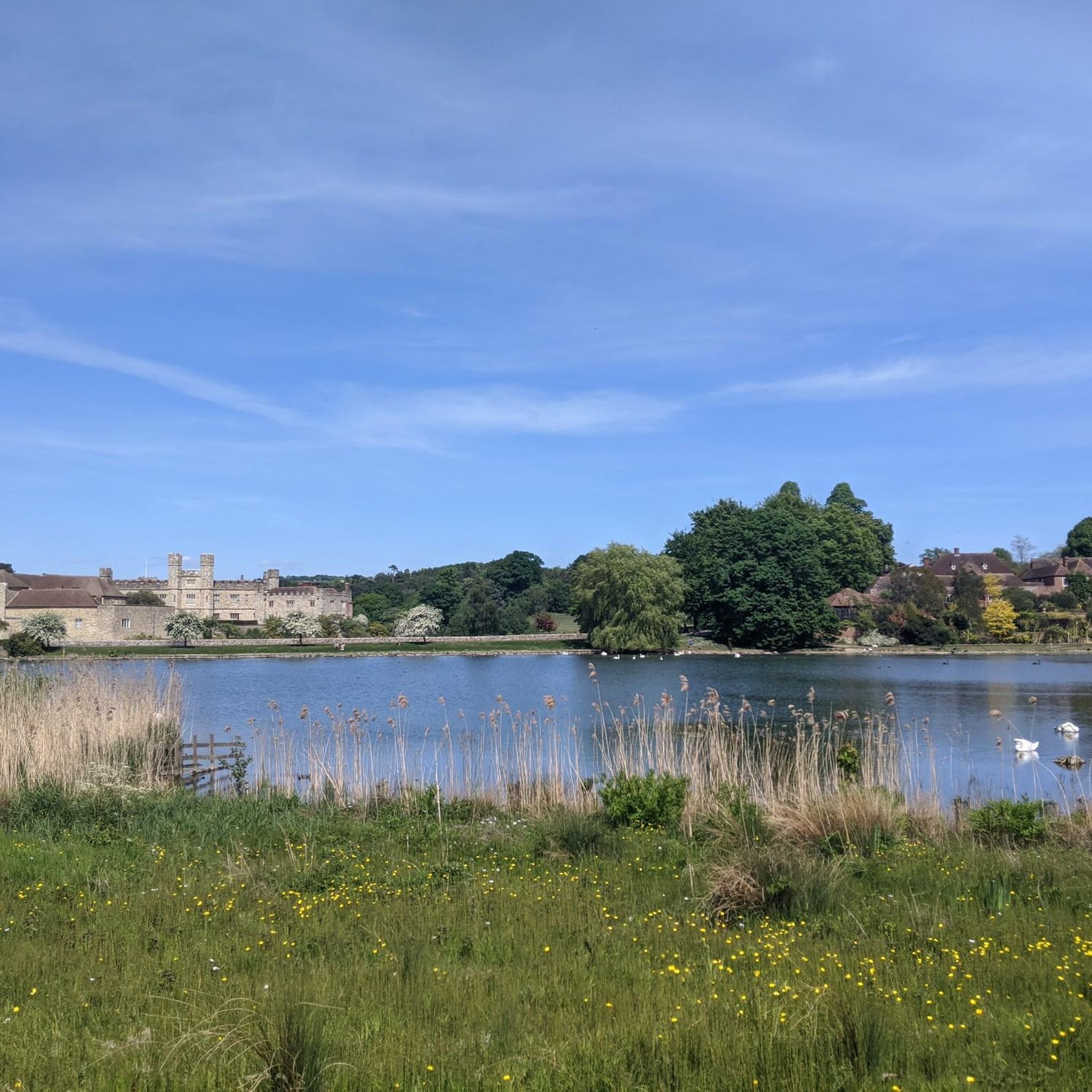
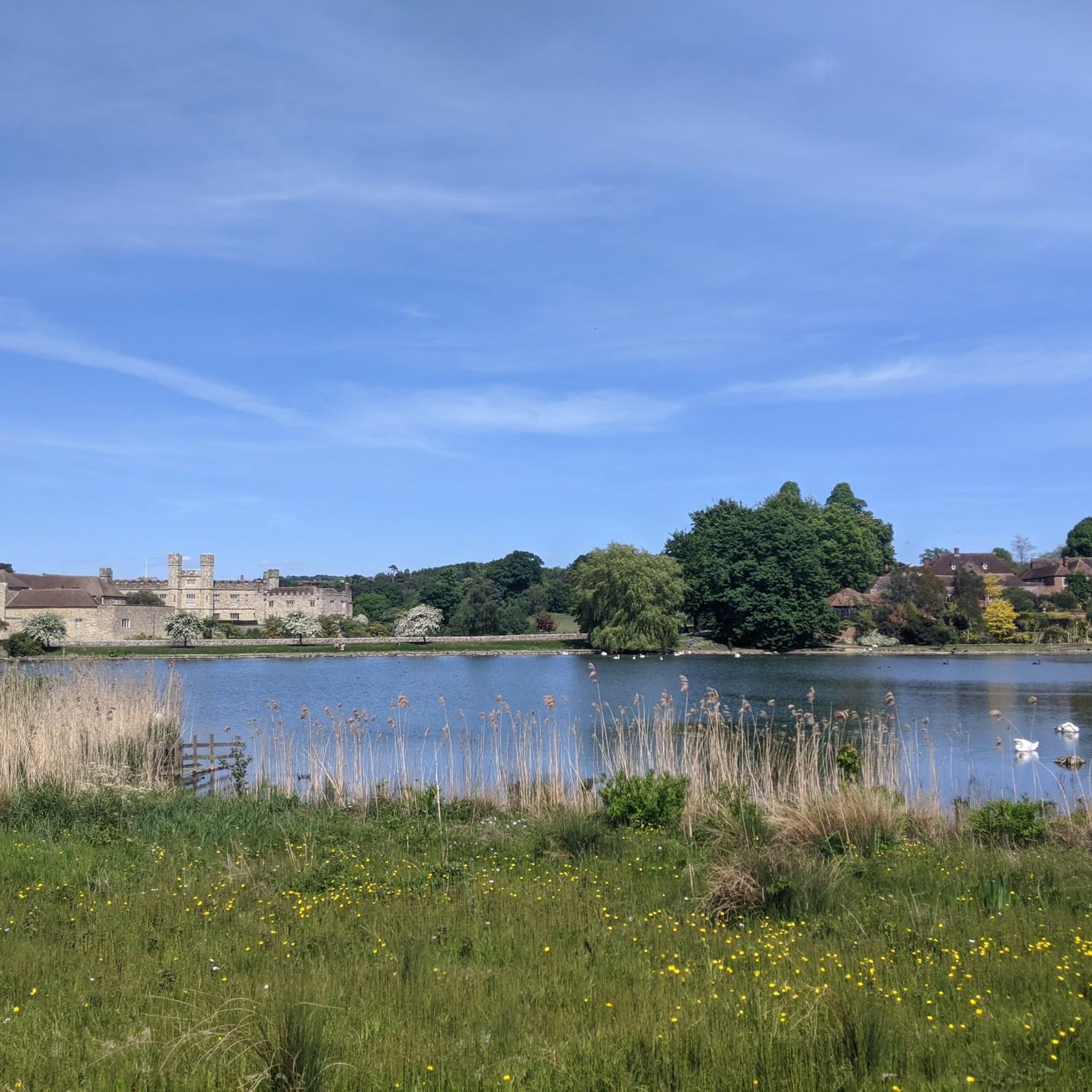
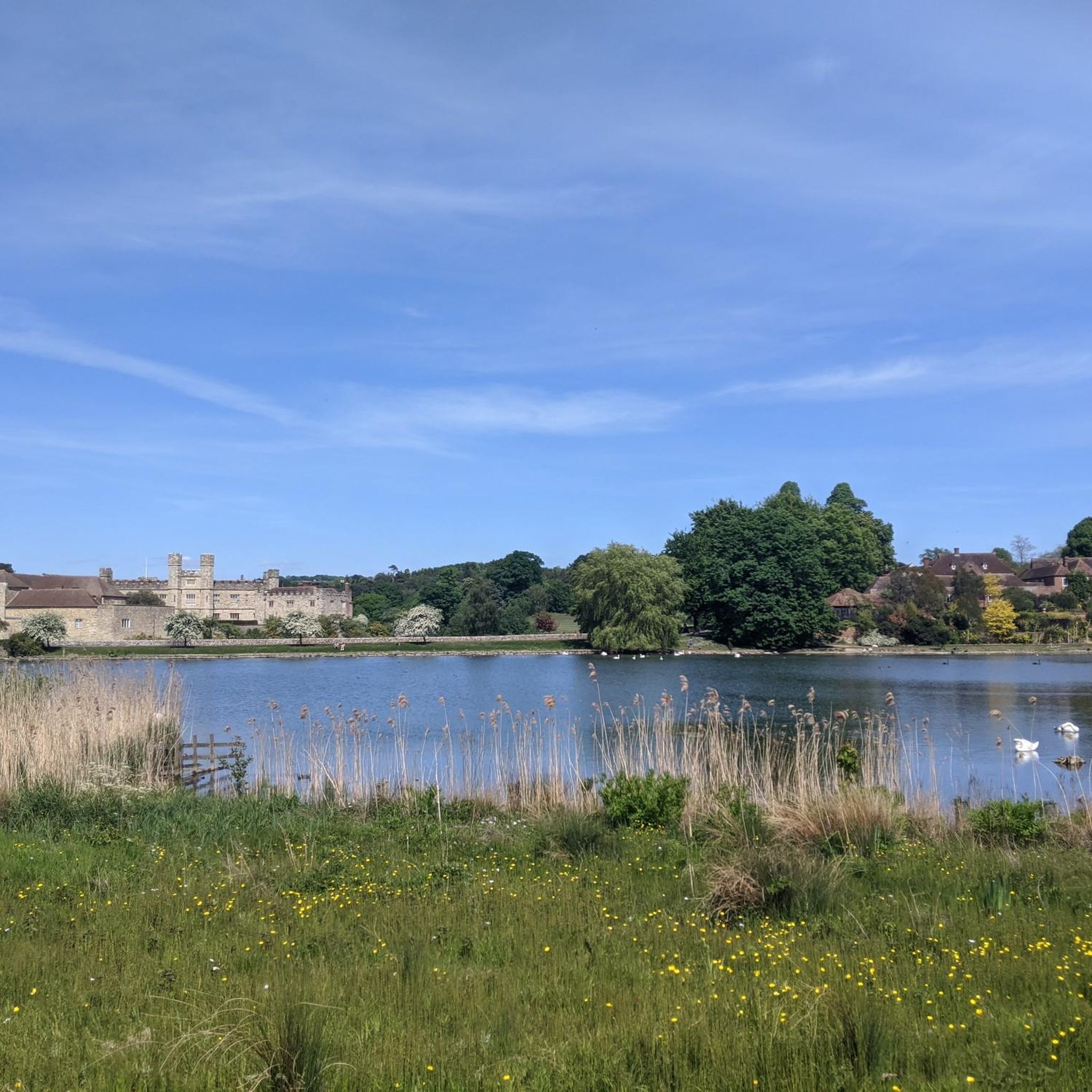
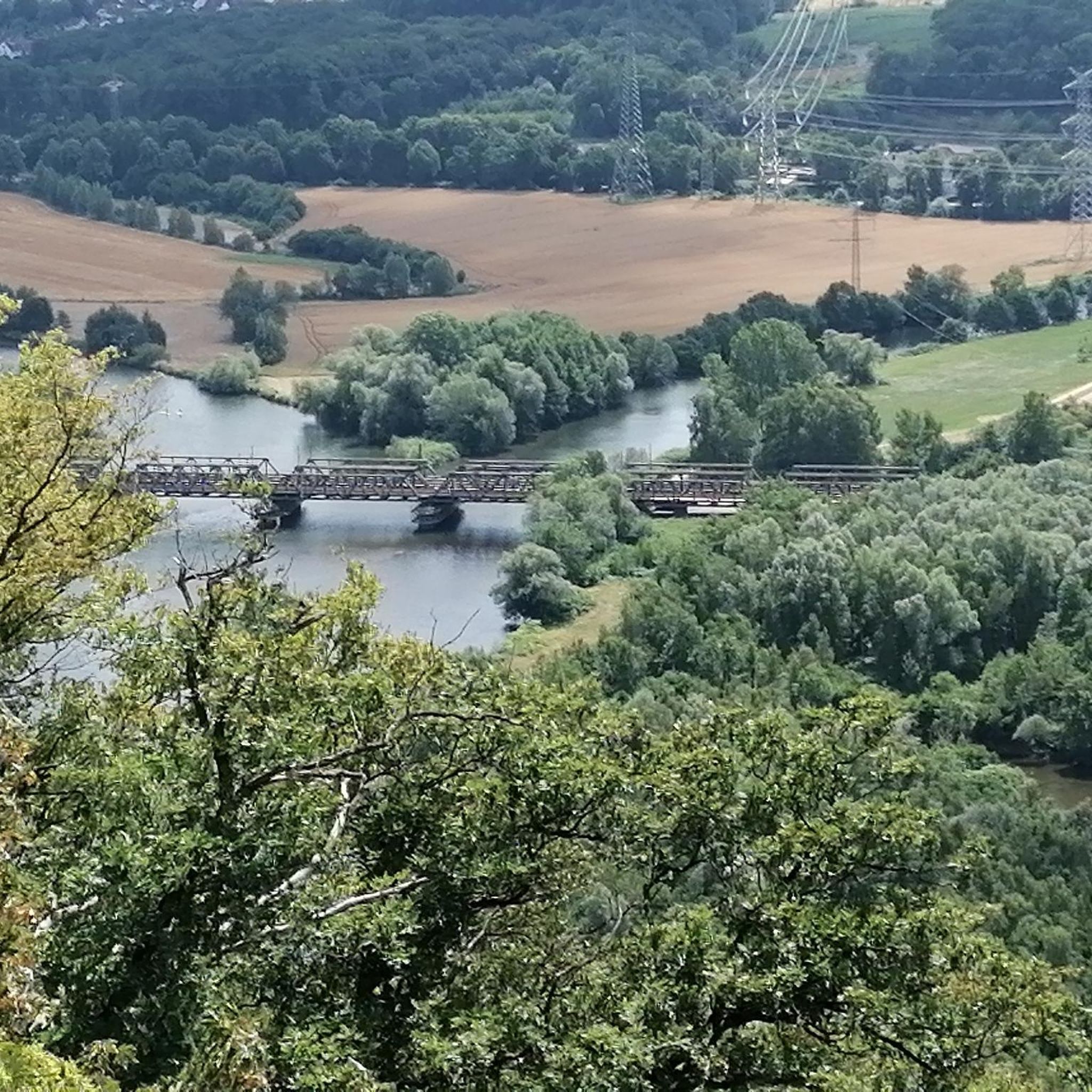
Tips from the Community

Lovely spot to pause and take a breather, with the Bredgar Farmshop and Tearooms just opposite for refreshments.
0
0

The Dirty habbit at the foot of the climb provides refreshing hill accompaniments
1
0

One of my favourite climbs in the area (alongside Coldblow Land further west). From corner of Pilgrims Way it is 1km to the top. Becomes prgressivley steeper, the final ramp is around 20% gradient.
0
0

Brutal, brutal climb. Took the life out of me once you're 20%+. To make things worse, if you're wanting to stop, its difficult to do so as cars are coming up and down the road. I didn't stop but this isn't for the weak. However, it's largely 5-7 miles of descending afterwards and the climb is only extremely difficult for a short period.
0
0
Great views if the weather is good
0
1
Boxley Warren is a 83-hectare Local Nature Reserve north of Maidstone in Kent
0
0
Frequently Asked Questions
How many road cycling routes are available around Chart Sutton?
There are over 500 road cycling routes around Chart Sutton, offering a wide variety of options for different skill levels and preferences. The area is highly rated by the komoot community, with an average score of 4.4 stars from over 70 reviews.
What kind of terrain will I encounter on road cycling routes in Chart Sutton?
Road cycling around Chart Sutton is characterized by diverse terrain within the Kent Downs National Landscape. You can expect rolling hills, lush countryside, and scenic valleys, with a mix of gentle gradients and more demanding climbs. The routes often wind through traditional Kentish orchards and hop gardens, offering picturesque views.
Are there easy road cycling routes suitable for beginners or families in Chart Sutton?
Yes, Chart Sutton offers several easy road cycling routes. A great option for a more relaxed ride is the Hollingbourne Manor – The Mill Pub loop from Otham, which is 15.9 miles (25.5 km) long and takes you through local landmarks and countryside. Another easy route is the Loose Viaduct loop from Otham, covering 15.4 km with minimal elevation gain.
Where can I find challenging road cycling routes near Chart Sutton?
For those seeking a challenge, the region features demanding climbs and significant elevation changes. The Hollingbourne Hill Climb – Warren Lane Bluebell Forest loop from Otham is a popular choice, spanning 34.6 miles (55.6 km) with over 600 meters of elevation gain. The area also includes notable features like the 'Hollingbourne Hill Climb' itself, offering opportunities for more intense ascents.
What notable landmarks or attractions can I see along the road cycling routes?
Many routes offer views of historical and natural attractions. You might cycle past the iconic Leeds Castle, often called the 'loveliest castle in the world'. Other points of interest include parts of the ancient Pilgrims' Way, Sissinghurst Castle Garden, and the historic All Saints Church, Hollingbourne.
Are there circular road cycling routes available in Chart Sutton?
Yes, many of the road cycling routes around Chart Sutton are designed as loops, allowing you to start and finish at the same point. Examples include the Hollingbourne Hill Climb – Warren Lane Bluebell Forest loop from Otham and the View Across the Valley – Curtisden Green Climb loop from Staplehurst.
What is the best time of year for road cycling in Chart Sutton?
The spring and summer months are generally ideal for road cycling in Chart Sutton, when the Kent countryside is in full bloom and the weather is most favorable. The 'Garden of England' lives up to its name with lush landscapes. Autumn also offers beautiful scenery with changing foliage, though cooler temperatures and shorter days should be considered.
Are there any road cycling routes that include pub or cafe stops?
While specific routes aren't explicitly designed around pub or cafe stops, many routes pass through or near villages with local establishments. For instance, the Hollingbourne Manor – The Mill Pub loop from Otham suggests a pub stop in its name, indicating opportunities for refreshments along the way. Exploring the villages you pass through will often reveal charming local cafes and pubs.
Is parking available for cyclists in Chart Sutton?
While specific parking areas for cyclists are not detailed, Chart Sutton and surrounding villages typically offer public parking facilities. It's advisable to check local parking options in your chosen starting village, such as Otham or Staplehurst, before your ride.
Can I access road cycling routes in Chart Sutton using public transport?
Chart Sutton and nearby areas are served by local bus routes, and train stations in towns like Maidstone East or Headcorn offer connections to the wider rail network. Cyclists should check the specific public transport provider's policies regarding bicycles, as space can be limited, especially during peak hours.
Are there any road cycling routes with particularly scenic viewpoints?
Absolutely. The Kent Downs National Landscape is renowned for its scenic beauty. Routes like the View Across the Valley – Curtisden Green Climb loop from Staplehurst are specifically highlighted for their scenic viewpoints. The rolling hills and elevated sections often provide breathtaking panoramic views across the 'Garden of England'.
Most popular attractions around Chart Sutton

Get inspired with the komoot mobile app


Explore more
Browse the best Road cycling routes in other regions.
