The best walks and hikes around Weibersbrunn
4.6
(11014)
39,252
hikers
34
hikes
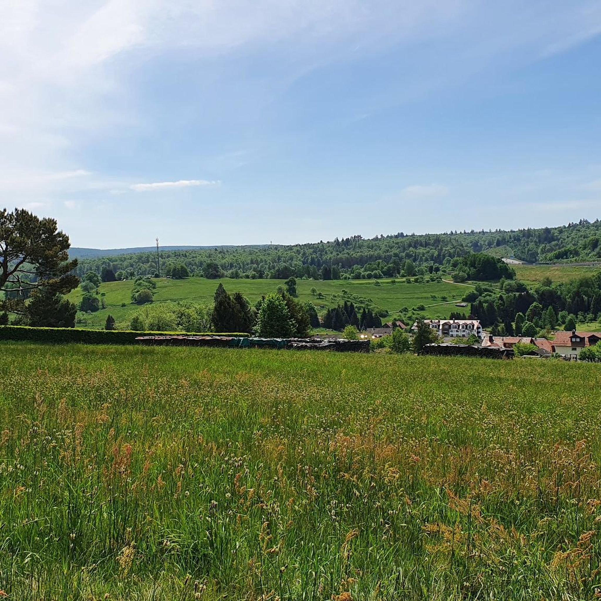
Hiking around Weibersbrunn offers diverse trails within the Spessart Nature Park, a region characterized by dense deciduous forests and varied terrain. The area features ancient beech and oak forests, including protected nature reserves like "Metzgergraben und Krone" and "Rohrberg." Hikers can expect paths traversing hills and valleys, with notable natural monuments such as the Weibersbrunner Eiche.
Best hiking trails around Weibersbrunn
- The most popular hiking route is Mespelbrunn Castle – View of Weibersbrunn loop from Weibersbrunn, an 11.3 miles…
Last updated: October 4, 2026
4.8
(12)
33
hikers
18.2km
05:08
390m
390m
Hard hike. Very good fitness required. Easily-accessible paths. Suitable for all skill levels.
4.9
(7)
26
hikers
8km
02:11
120m
120m
Moderate hike. Good fitness required. Easily-accessible paths. Suitable for all skill levels.

3.3
(3)
32
hikers
2.71km
00:45
40m
40m
Easy hike. Great for any fitness level. Easily-accessible paths. Suitable for all skill levels.
4.4
(16)
56
hikers
12.2km
03:28
280m
280m
Moderate hike. Good fitness required. Easily-accessible paths. Suitable for all skill levels.
4.3
(4)
11
hikers
Hard hike. Very good fitness required. Easily-accessible paths. Suitable for all skill levels.
Get access to more routes and recommendations from other explorers.
Already have an account?
Our route recommendations are based on thousands of hikes, rides, and runs completed by other people on komoot.
Start today with a free account
Your next adventure awaits.
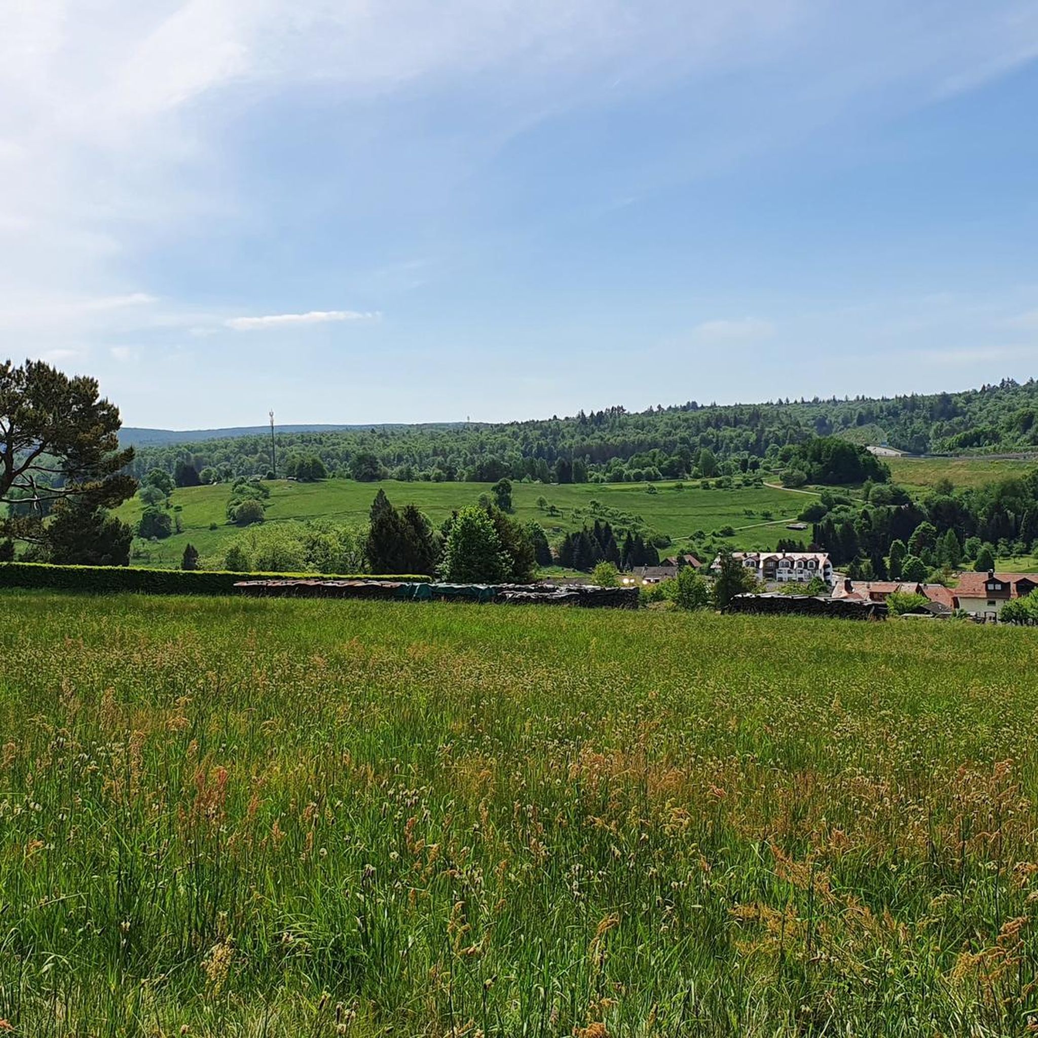
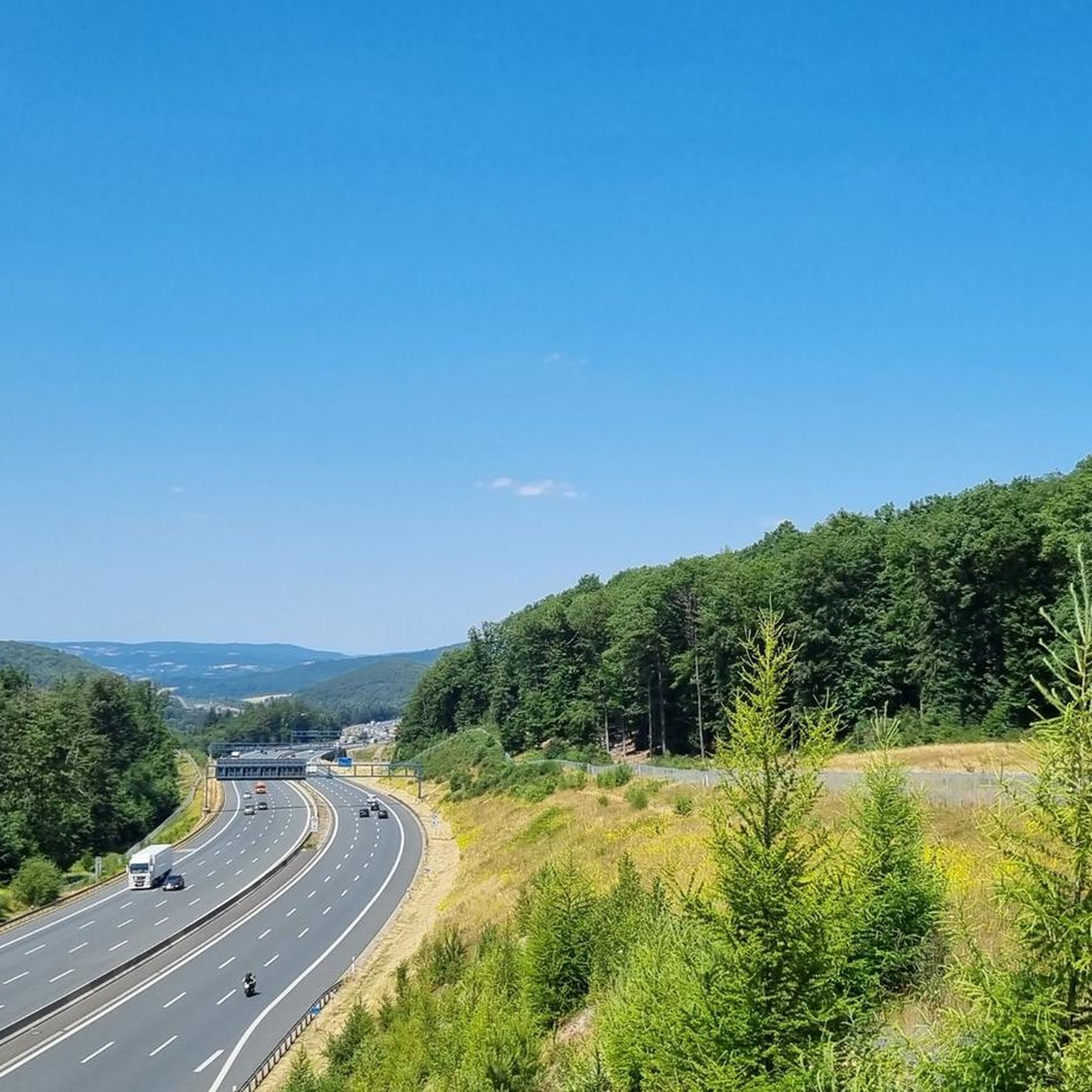
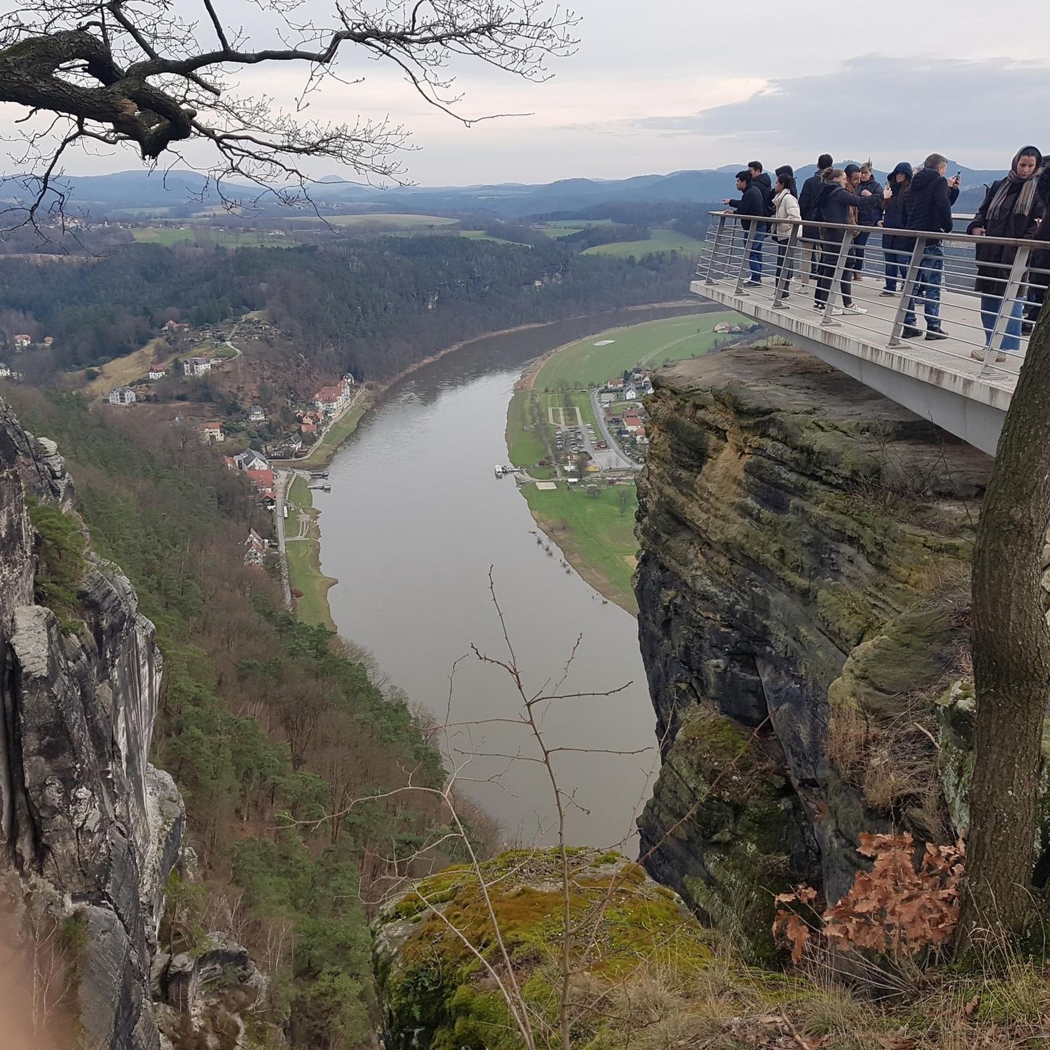
Tips from the Community

The pilgrimage church of St. Mariä Himmelfahrt in Hessenthal is a very remarkable architectural ensemble. The two Gothic structures, the Chapel of Grace and the old pilgrimage church, are beautiful at first glance. The new pilgrimage church from 1954 is rather sober, but contains extraordinary works of art: the Lamentation of Christ by Tilman Riemenschneider and the Crucifixion group by Hans Backoffen.
4
0

On the trail behind the castle
0
0

Wooden benches upon wooden benches. Testifies to good forest management. Regulated thinning for sustainability and healthy/ well-maintained forests
0
0
There used to be a wayside shrine here. After it fell into disrepair, the cross was erected. Sit down for a moment and pause
0
0

The name of this Räuberpfad says it all: "Island of Tranquility". Although the path is significantly shorter than the other Räuberpfade at 7.2 km, it clocks in at 424 meters of elevation gain, and secondly, every meter of the route is a delight.
0
0

The church is open daily from 9:30 a.m. to 5:00 p.m. The interior is rather simple, but still worth seeing.
1
0


The Hafenlohr is a 26.5 km long (27.7 km including the Tiergartenbach) right tributary of the Main River in the districts of Aschaffenburg and Main-Spessart in the Bavarian Spessart region. The Hafenlohr rises from two springs in the municipality of Rothenbuch. The longer and occasionally more water-rich branch is the Tiergartenbach, which often dries up on dry days. Officially, it is considered the upper course of the Hafenlohr main watercourse. The source, known as the Hafenlohr Spring, in the center of the village provides water almost year-round. The Hafenlohr Spring is located at Rothenbuch Castle. It was encased in sandstone during the road widening of the St 2317. Its water flows northwest through the castle moat and, after about 100 meters, flows from the left bank into the bed of the Tiergartenbach, which flows from the Tiergartengrund on the northern edge of the village and is already 1.3 km[7] long. It doesn't provide water year-round, but at times it provides more than the perennial spring at the castle. The spring at the castle was probably once a meeting place for hunters in the eastern Spessart, which is why construction of a hunting lodge began here in 1342. The spring water fed the castle moat and several surrounding trout lakes, which no longer exist. Source and further information: https://de.wikipedia.org/wiki/Hafenlohr_(Fluss)
1
0
Frequently Asked Questions
How many hiking trails are available around Weibersbrunn?
Weibersbrunn offers a diverse network of over 30 hiking trails within the Spessart Nature Park. These routes cater to various fitness levels, including 18 easy, 13 moderate, and 3 difficult trails, ensuring there's something for everyone.
Are there any family-friendly hiking routes in Weibersbrunn?
Yes, Weibersbrunn has several easy trails suitable for families. A good option is the Herz-Jesu wayside shrine loop from Weibersbrunn, which is a shorter, 2.7 km (1.7 miles) path through dense forests, often completed in under an hour. The region's gentle terrain and well-maintained paths make it ideal for walks with children.
What kind of natural landscapes can I expect to see while hiking in Weibersbrunn?
Weibersbrunn is nestled within the Spessart Nature Park, characterized by magnificent high forests, primarily dense deciduous forests. You'll encounter ancient beech and oak trees, including protected nature reserves like "Metzgergraben und Krone" and "Rohrberg." The terrain features a variety of hills and valleys, offering serene natural settings and scenic views.
Are there any historical or cultural attractions along the hiking trails?
Absolutely. Many trails incorporate historical and cultural points of interest. For instance, the Kulturweg Weibersbrunn (a local cultural trail) leads past the historic Weibersbrunn Chapel and the ancient Weibersbrunner Eiche, a majestic oak tree over 300 years old. You can also visit the picturesque Mespelbrunn Castle, a moated castle dating back to 1427, which is featured on several routes.
What do other hikers enjoy most about hiking in Weibersbrunn?
The hiking trails around Weibersbrunn are highly rated by the komoot community, with an average score of 4.6 stars from over 1200 reviews. Hikers often praise the region's well-maintained paths, the tranquility of the dense Spessart forests, and the variety of routes that cater to different skill levels.
Are there any circular hiking routes available?
Yes, many of the trails in Weibersbrunn are designed as circular routes, allowing you to start and end at the same point. An example is the Mespelbrunn Castle – View of Weibersbrunn loop from Weibersbrunn, a longer, challenging route that offers diverse scenery and views of the castle.
Can I find trails with scenic viewpoints in Weibersbrunn?
Yes, the varied terrain of the Spessart Nature Park around Weibersbrunn offers several opportunities for scenic views. While specific named viewpoints might vary, many trails traverse hills and valleys, providing glimpses of the expansive forests and the surrounding landscape, including the distant Geiersberg, the highest point of the Spessart Mountains.
Are there any places to stop for refreshments or a meal during a hike?
Yes, you can find options for refreshments. The Sylvan Forester's Lodge in the Weihersgrund is a tranquil spot within the Spessart Nature Park where hikers can rest and enjoy home-style cooking. Additionally, the historic Echterspfahl, once a meeting point for noble families, now features an inn that serves as a convenient stop.
What is the best time of year to go hiking in Weibersbrunn?
Weibersbrunn is beautiful year-round, but the spring and autumn months are particularly popular. In spring, the deciduous forests burst into vibrant green, while autumn offers stunning displays of fall foliage. Summer provides pleasant shade under the dense tree canopy, and even winter hikes can be magical, especially after a fresh snowfall.
Are there any longer, more challenging hikes for experienced trekkers?
For experienced hikers, Weibersbrunn offers more demanding routes. The Forest Hotel Heppe loop from Rohrbrunner Forst is a difficult 25.9 km (16.1 miles) trail with significant elevation changes, providing a substantial challenge and a deep immersion into the Spessart forests.
Are there any trails that feature ancient trees or nature reserves?
Yes, the region is known for its ancient forests. The Ruhlandspfad Trail – Steinknuck Oak loop from Weibersbrunn specifically leads through ancient forests and past the notable Steinknuck Oak. The "Metzgergraben und Krone" and "Rohrberg" nature reserves also protect exceptionally beautiful, natural beech and oak forests, some trees estimated to be between 600 and 800 years old.
Most popular routes around Weibersbrunn
Most popular attractions around Weibersbrunn

Get inspired with the komoot mobile app


Explore more
Browse the best Hikes in other regions.
