The best cycling routes around Crich
4.6
(208)
3,082
riders
23
rides
Touring cycling around Crich offers routes through the scenic Derbyshire Dales, characterized by rolling hills, river valleys, and historic railway paths. The area features a mix of open countryside, woodlands, and reservoir views, providing varied terrain for cyclists. Elevations are generally moderate, with some routes incorporating steeper inclines. The landscape is shaped by its industrial heritage, with former railway lines now serving as popular cycling trails.
Best touring cycling routes around Crich
- The most popular touring cycling route is Matlock…
Last updated: October 8, 2026
5.0
(2)
36
riders
29.0km
02:37
590m
590m
Hard bike ride. Very good fitness required. Mostly paved surfaces. Suitable for all skill levels.
31
riders
56.9km
04:00
640m
640m
Hard bike ride. Very good fitness required. Mostly paved surfaces. Suitable for all skill levels.

5.0
(1)
26
riders
13.0km
01:06
60m
60m
Easy bike ride. Great for any fitness level. Mostly paved surfaces. Suitable for all skill levels.
5.0
(2)
8
riders
16.5km
01:16
340m
340m
Moderate bike ride. Good fitness required. Mostly paved surfaces. Suitable for all skill levels.
13
riders
80.4km
05:19
1,020m
1,020m
Hard bike ride. Very good fitness required. Mostly paved surfaces. Suitable for all skill levels.
Get access to more routes and recommendations from other explorers.
Already have an account?
Our route recommendations are based on thousands of hikes, rides, and runs completed by other people on komoot.
Start today with a free account
Your next adventure awaits.
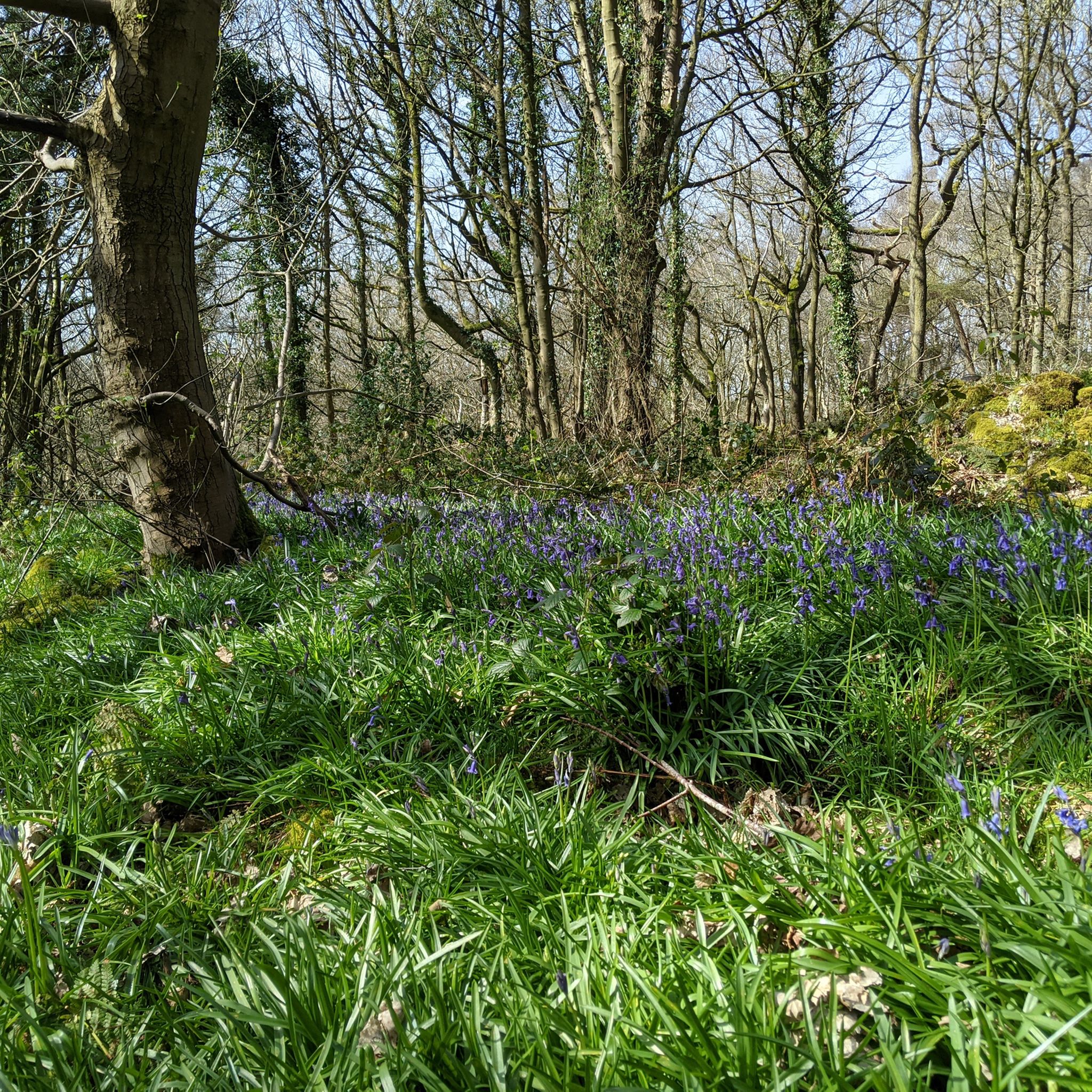
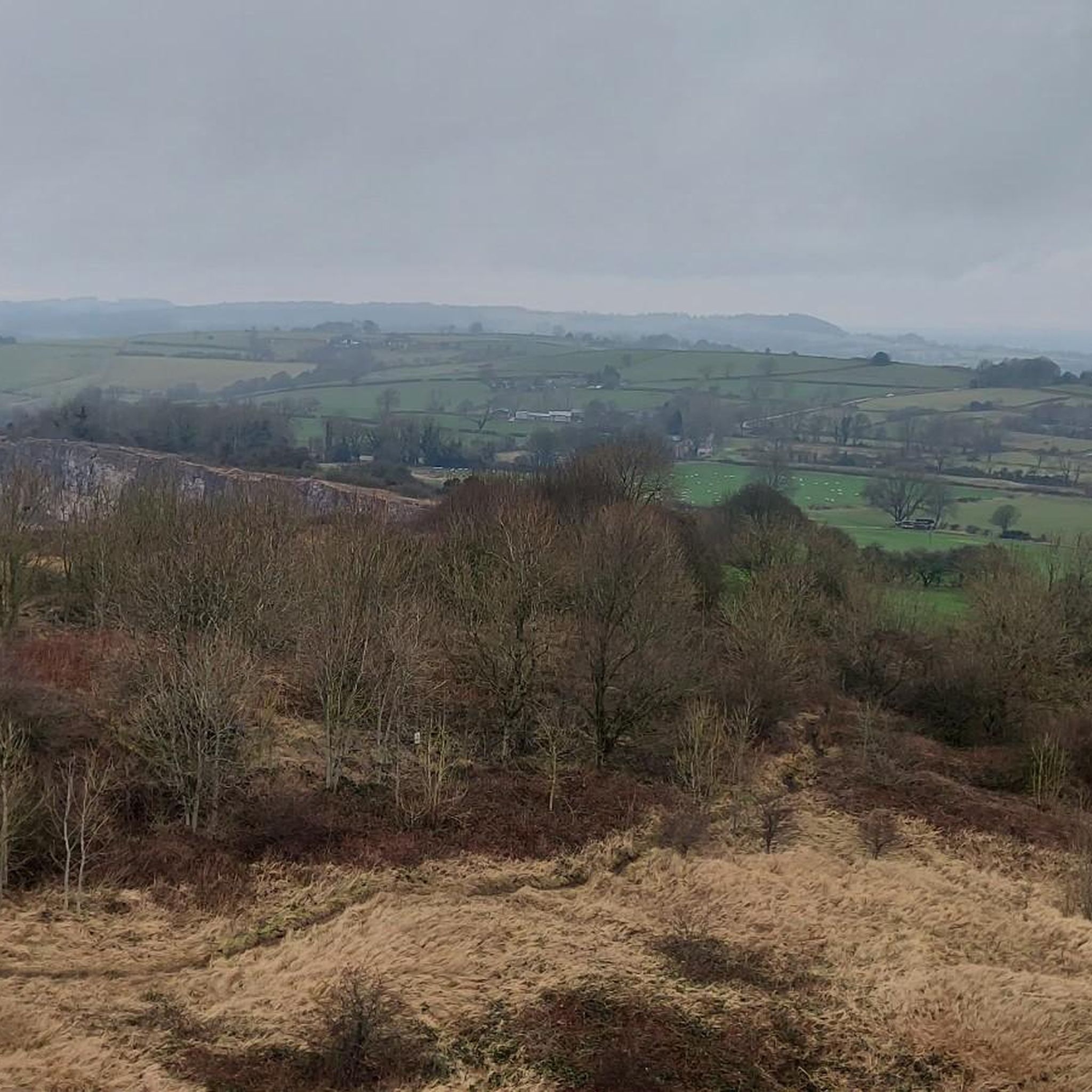
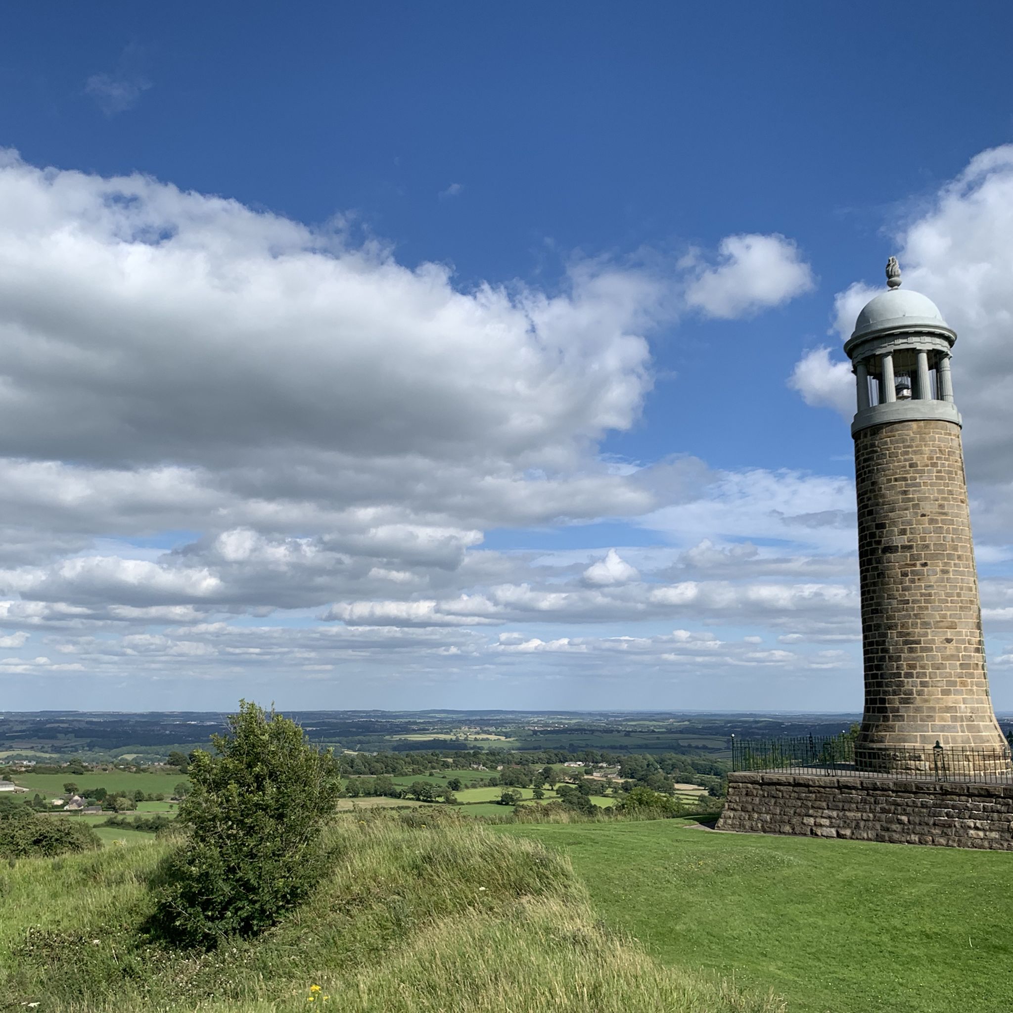

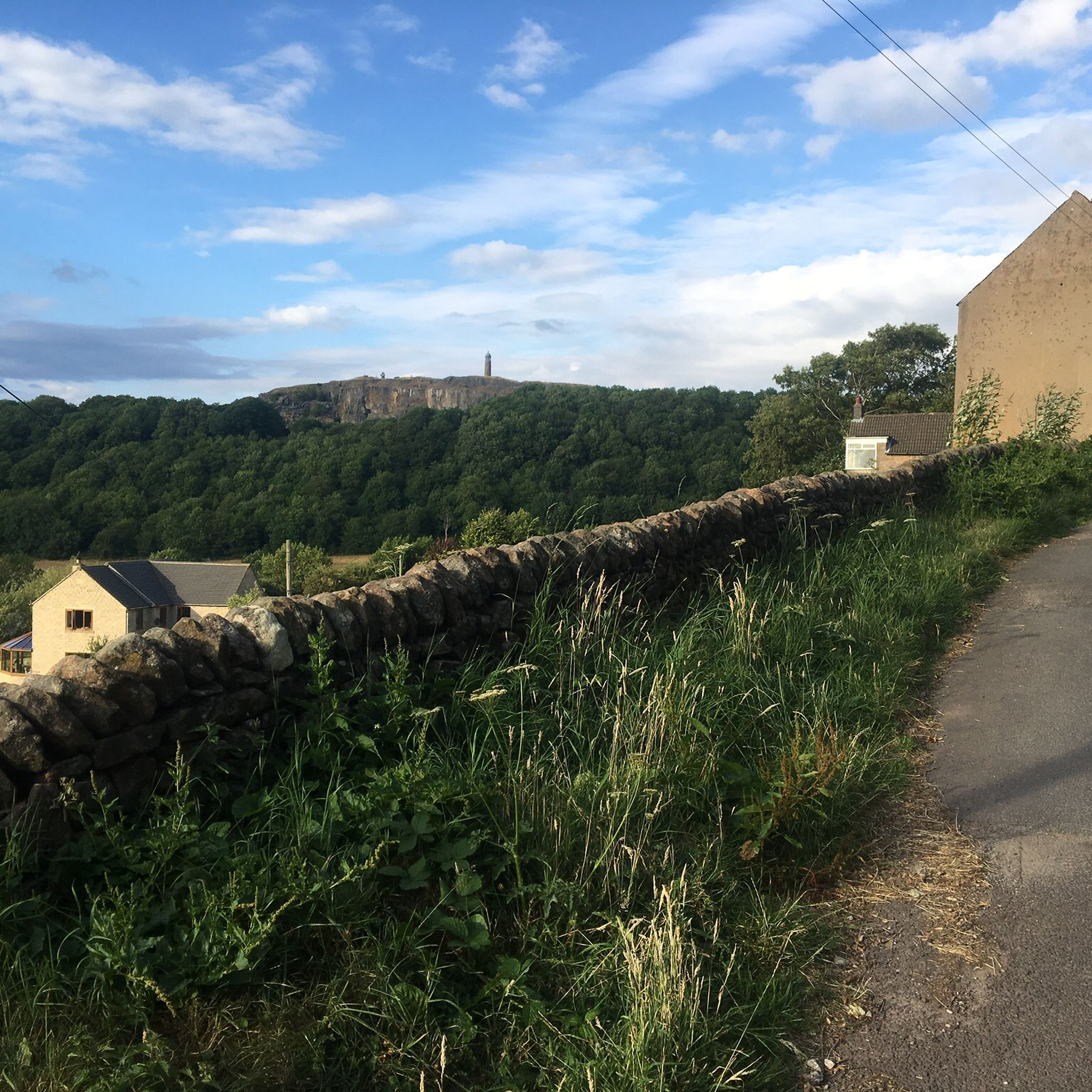
Tips from the Community

Check shop opening times
0
0

There’s a rock fall just beyond here if you’re heading NW - they have closed the bridleway but there are no signs before the last opportunity to take a detour - i have added pictures of the signs with all the information. I took a detour on bicycle through Brassington. Hopefully the trail should be open by March 6th 2026.
0
0

A towpath (also known as a towpath or towpath), which runs alongside the river or canal, was an indispensable part of the transport infrastructure in earlier times. Before ships could be propelled by motor power, horses walked along the bank and pulled the vessel against the current. This activity was called "treideln" in German, and that's how the towpath got its name. Where these paths – running directly along the bank – have survived to this day, they no longer serve their original purpose, but are still popular with hikers and cyclists.
0
0


Gruelling ascent but keep going you'll get there!
1
0
Incredible engineering from the past when railway wagons were winched up and down the inclines.
0
0


Frequently Asked Questions
How many touring cycling routes are available around Crich?
There are over 25 touring cycling routes around Crich, offering a variety of experiences. These include 1 easy route, 11 moderate routes, and 14 difficult routes, catering to different skill levels.
What are the typical lengths and durations of touring cycling routes in Crich?
Routes vary significantly in length and duration. For instance, the Sheep Pasture Incline – High Peak Junction loop from Whatstandwell is about 11.2 miles (18 km) and takes around 1 hour 30 minutes, while the Holy Trinity Church – Ogston Reservoir West Car Park loop from Whatstandwell is nearly 31 miles (50 km) and can take over 3 hours.
Are there family-friendly touring cycling routes in Crich?
Yes, Crich offers routes suitable for families, particularly those utilizing former railway lines which tend to be flatter and traffic-free. Look for routes designated as 'easy' or 'moderate' that follow these historic paths for a more relaxed experience.
What are some challenging touring cycling routes for experienced cyclists around Crich?
Experienced cyclists seeking a challenge can explore routes like the High Peak Trail – View of Harboro Rocks loop from Whatstandwell. This difficult 18-mile (29 km) path features significant climbs and offers expansive views, including geological formations like Harboro Rocks.
When is the best time of year to go touring cycling in Crich?
The best time for touring cycling in Crich is generally from spring through autumn (April to October) when the weather is milder and the landscape is vibrant. Summer offers the longest daylight hours, while spring and autumn provide pleasant temperatures and fewer crowds. Always check local weather forecasts before heading out.
What are the winter conditions like for touring cycling in Crich?
Winter touring cycling in Crich can be challenging due to colder temperatures, shorter daylight hours, and potentially icy or muddy trail conditions, especially on unpaved sections. Some higher elevation routes may also be exposed to strong winds. It's advisable to check local weather and trail conditions and be prepared with appropriate gear.
Are there pubs or cafes along the touring cycling routes in Crich?
Yes, many routes in the Crich area pass through or near villages and towns where you can find pubs and cafes. For example, the Chase Café – Descent to Holloway loop from Whatstandwell suggests a specific cafe. The region's industrial heritage means many former railway lines now connect communities with amenities.
What can I see along the touring cycling routes around Crich?
The routes offer diverse scenery, including rolling hills, river valleys, and reservoir views. You can also encounter historical sites like High Peak Junction, natural features such as Black Rocks, and the scenic Cromford Canal towpath. Some routes also offer stunning viewpoints like High Tor and Giddy Edge.
Are there any waterfalls accessible from touring cycling routes in Crich?
While not directly on all cycling routes, the Crich area is close to several beautiful waterfalls. You can find Lumsdale Valley Mill Ruins and Waterfall and Lumsdale Falls nearby, which can be combined with a cycling trip for a scenic detour.
What do other touring cyclists enjoy most about cycling in Crich?
The touring cycling routes in Crich are highly rated by the komoot community, with an average score of 4.6 stars from over 350 reviews. Cyclists often praise the varied terrain, the scenic Derbyshire Dales landscape, and the unique experience of cycling along historic railway paths.
Are there circular touring cycling routes available in Crich?
Yes, many of the touring cycling routes around Crich are designed as loops, allowing you to start and finish at the same point. Examples include the popular Matlock Bath – High Peak Junction loop from Whatstandwell, which is a moderate 25.9-mile (41.7 km) trail.
Where are common starting points for touring cycling routes in Crich?
Many touring cycling routes in the Crich area, particularly those accessing the High Peak Trail and surrounding valleys, frequently start from locations like Whatstandwell. These points often provide good access to the network of trails and local amenities.
Most popular routes around Crich
Most popular attractions around Crich

Get inspired with the komoot mobile app


Explore more
Browse the best Cycling routes in other regions.
