The best road cycling routes around Crich
4.5
(155)
7,712
riders
15
rides
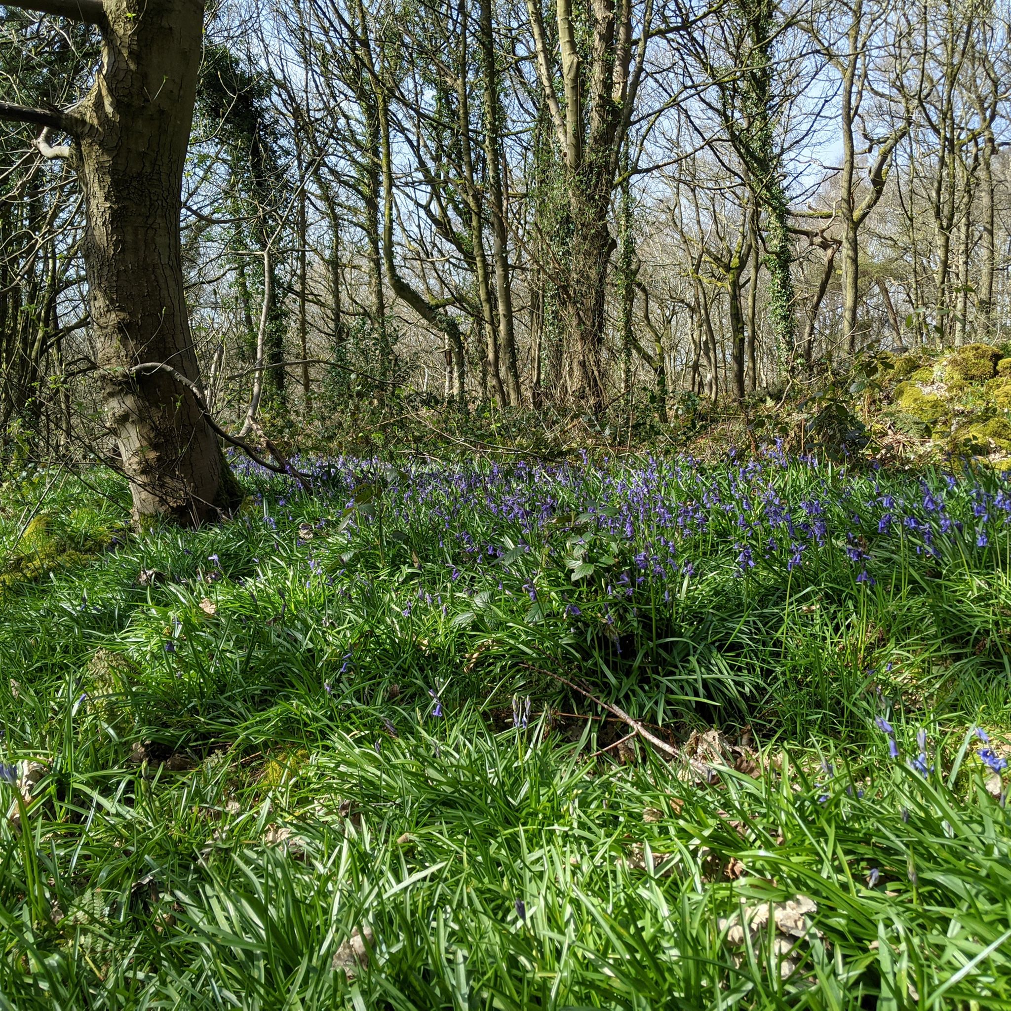
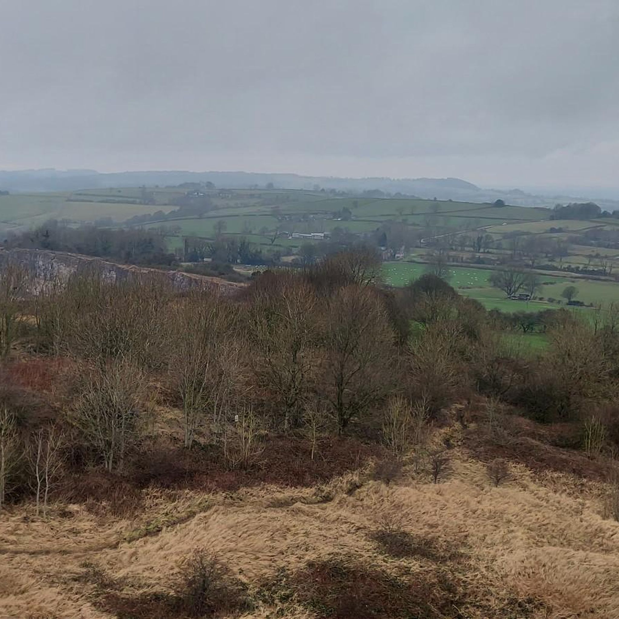
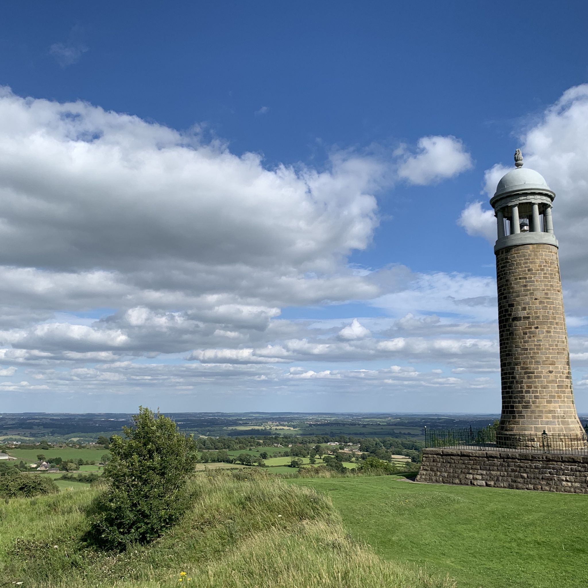
Road cycling routes around Crich traverse a landscape characterized by varied terrain, including wooded hillsides and the scenic Derwent and Amber valleys. The area features mostly well-paved surfaces, with some routes offering significant elevation gains. Cyclists can explore paths around natural features such as Ogston Reservoir and enjoy views towards Carsington Water. Crich Stand, a prominent clifftop memorial, provides a notable landmark and panoramic viewpoints along many routes.
Best road cycling routes around Crich
- The most popular road cycling route…
Last updated: October 17, 2026
55
riders
32.7km
01:54
500m
510m
Moderate road ride. Good fitness required. Some segments of this route may be unpaved and difficult to ride.
22
riders
24.5km
01:18
300m
300m
Moderate road ride. Good fitness required. Mostly well-paved surfaces and easy to ride.

4.0
(1)
19
riders
28.9km
01:18
250m
250m
Moderate road ride. Great for any fitness level. Some segments of this route may be unpaved and difficult to ride.
5
riders
29.9km
01:37
470m
470m
Moderate road ride. Good fitness required. Mostly well-paved surfaces and easy to ride.
10
riders
29.0km
01:39
500m
490m
Moderate road ride. Good fitness required. Mostly well-paved surfaces and easy to ride.
Get access to more routes and recommendations from other explorers.
Already have an account?
Our route recommendations are based on thousands of hikes, rides, and runs completed by other people on komoot.
Start today with a free account
Your next adventure awaits.

Tips from the Community

A beautiful little reservoir on the outskirts of chesterfield very popular with bird watchers
0
0
Hiking down the a road for a stunning view of Ogston Reservoir from Ashover
0
0


beautiful peaceful spot with car park and bird hide
0
0


The way passing breamfield lane chair and heading to next stop is closed until March 20 2026. Please be aware and turn to another stop.
1
0

Great cafe with a large menu, good coffee & good service. Toilets clean & accessible. Also a great base for accessing the HIgh Peak trail if you’re into off roading
0
0
Frequently Asked Questions
What kind of terrain can I expect when road cycling around Crich?
Road cycling around Crich features a varied landscape, including wooded hillsides and the scenic Derwent and Amber valleys. You'll find mostly well-paved surfaces, but some routes, particularly more challenging ones, might include unpaved segments. The area offers an almost endless change of scenery, from rivers and tributary streams to wooded glens and open moorland heights.
Are there challenging road cycling routes in Crich?
Yes, Crich offers routes with significant elevation gains, some exceeding 3,000 feet. Out of the 14 available routes, 4 are classified as difficult, catering to cyclists looking for a demanding ride. For example, the View of Carsington Water – Long Dale Road loop from Whatstandwell is a difficult 40.1-mile path featuring extensive climbs.
What natural features can I see while road cycling in Crich?
You can explore routes that loop around scenic bodies of water like Ogston Reservoir, offering picturesque views. The nearby Carsington Water is also a beauty spot within easy reach. The area is rich with the Derwent River, tributary streams, and extensive woods on both sides of the Derwent Valley, providing diverse natural habitats.
Are there any notable landmarks along the road cycling routes in Crich?
Absolutely. A prominent landmark is Crich Stand, a clifftop memorial offering panoramic views of the surrounding countryside. On clear days, you might even spot Lincoln Cathedral. Another interesting feature is Black Rocks, a gritstone outcrop that provides a dramatic backdrop and access to Cromford Moor woodlands.
Where can I find scenic viewpoints on Crich's road cycling routes?
Many routes offer stunning vistas. Crich Stand provides expansive panoramic views. You can also find picturesque views around Ogston Reservoir and towards Carsington Water. The View of Carsington Water – Long Dale Road loop from Whatstandwell is specifically known for its scenic views of Carsington Water and the surrounding valleys.
Is parking available for road cyclists in Crich?
Yes, many routes, such as the Crich Market Cross – Shuckstone Lane loop from Crich CP and the Ogston Reservoir – View of Ogston Reservoir loop from Crich CP, start from 'Crich CP' (Car Park), indicating available parking. The Crich Tramway Village is also a unique starting point for many trails and offers parking facilities.
What is the best time of year for road cycling in Crich?
The varied terrain and natural beauty of Crich make it enjoyable for road cycling throughout much of the year. Spring and autumn offer pleasant temperatures and vibrant scenery. While routes are generally well-paved, it's always advisable to check local weather conditions, especially during winter, as some segments might be unpaved or affected by adverse weather.
Are there family-friendly road cycling routes in Crich?
The road cycling routes around Crich are generally classified as moderate to difficult, with significant elevation gains. There are no routes specifically listed as 'easy' in the guide data. Therefore, routes may be more suitable for families with older children or those who are experienced cyclists. For gentler options, consider exploring the High Peak Trail, which offers flatter sections.
What do other road cyclists enjoy most about road cycling in Crich?
The komoot community highly rates road cycling in Crich, with an average score of 4.5 stars from over 60 reviews. Cyclists often praise the varied terrain, the scenic views of reservoirs like Ogston Reservoir, and the 'almost endless change of scene' provided by the Derwent and Amber valleys. The combination of challenging climbs and picturesque landscapes is a key draw.
How many road cycling routes are available around Crich?
There are 14 road cycling routes available around Crich, offering a range of experiences from moderate to difficult. These routes are highly rated by the komoot community, with over 3,000 road cyclists having explored the area using komoot.
Are there any waterfalls along the road cycling routes in Crich?
While the region is known for its varied natural features, one specific highlight near Crich is the Lumsdale Valley Mill Ruins and Waterfall. This can be a fascinating point of interest to visit, though it may require a slight detour from some road cycling routes.
Can I find circular road cycling routes in Crich?
Yes, many of the road cycling routes around Crich are designed as circular loops. Examples include the Crich Market Cross – Shuckstone Lane loop from Crich CP and the Ogston Reservoir – View of Ogston Reservoir loop from Crich CP. These allow you to start and finish at the same point, making logistics easier.
Most popular routes around Crich
Most popular attractions around Crich

Get inspired with the komoot mobile app


Explore more
Browse the best Road cycling routes in other regions.
