The best walks and hikes around Rælingen
4.5
(168)
2,224
hikers
12
hikes
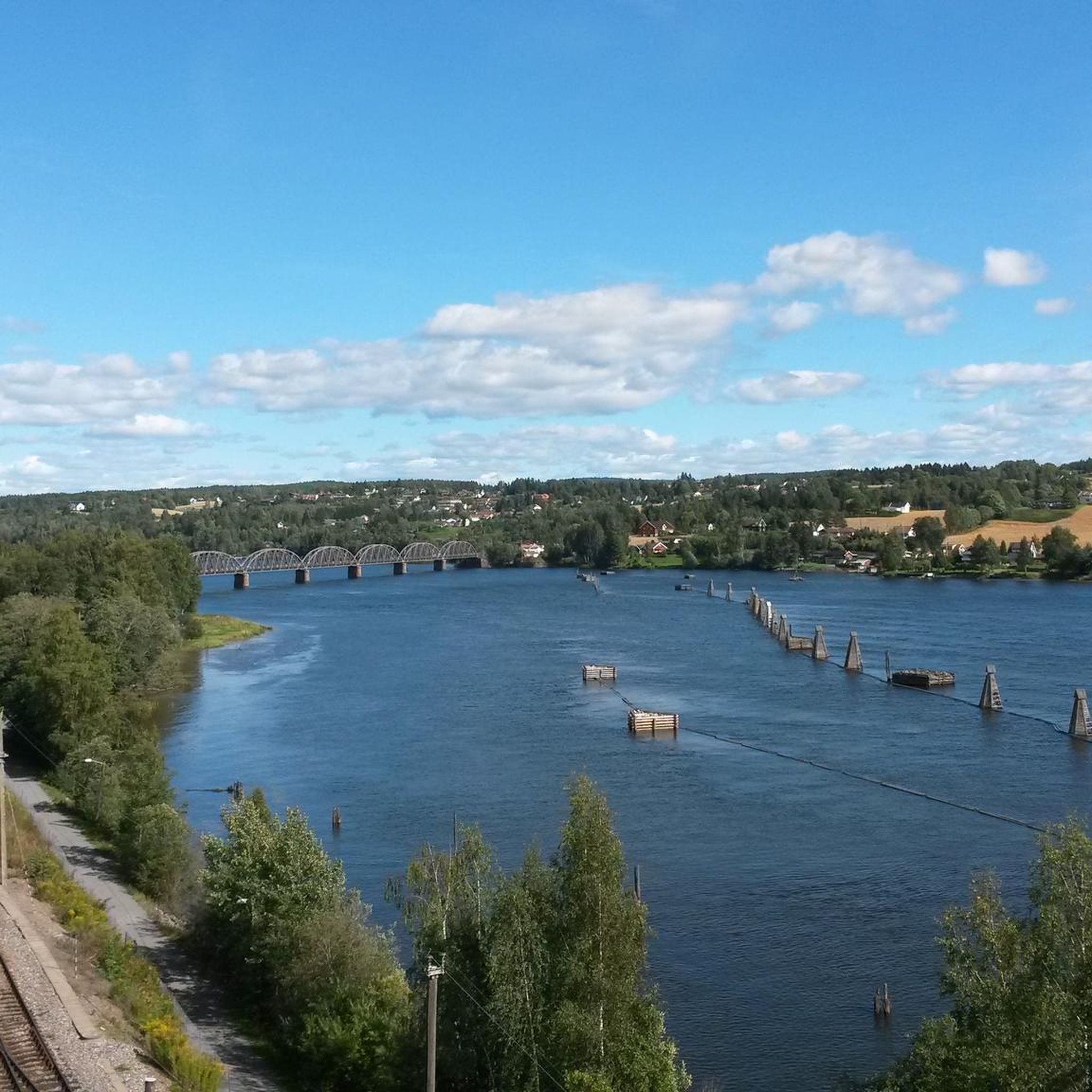
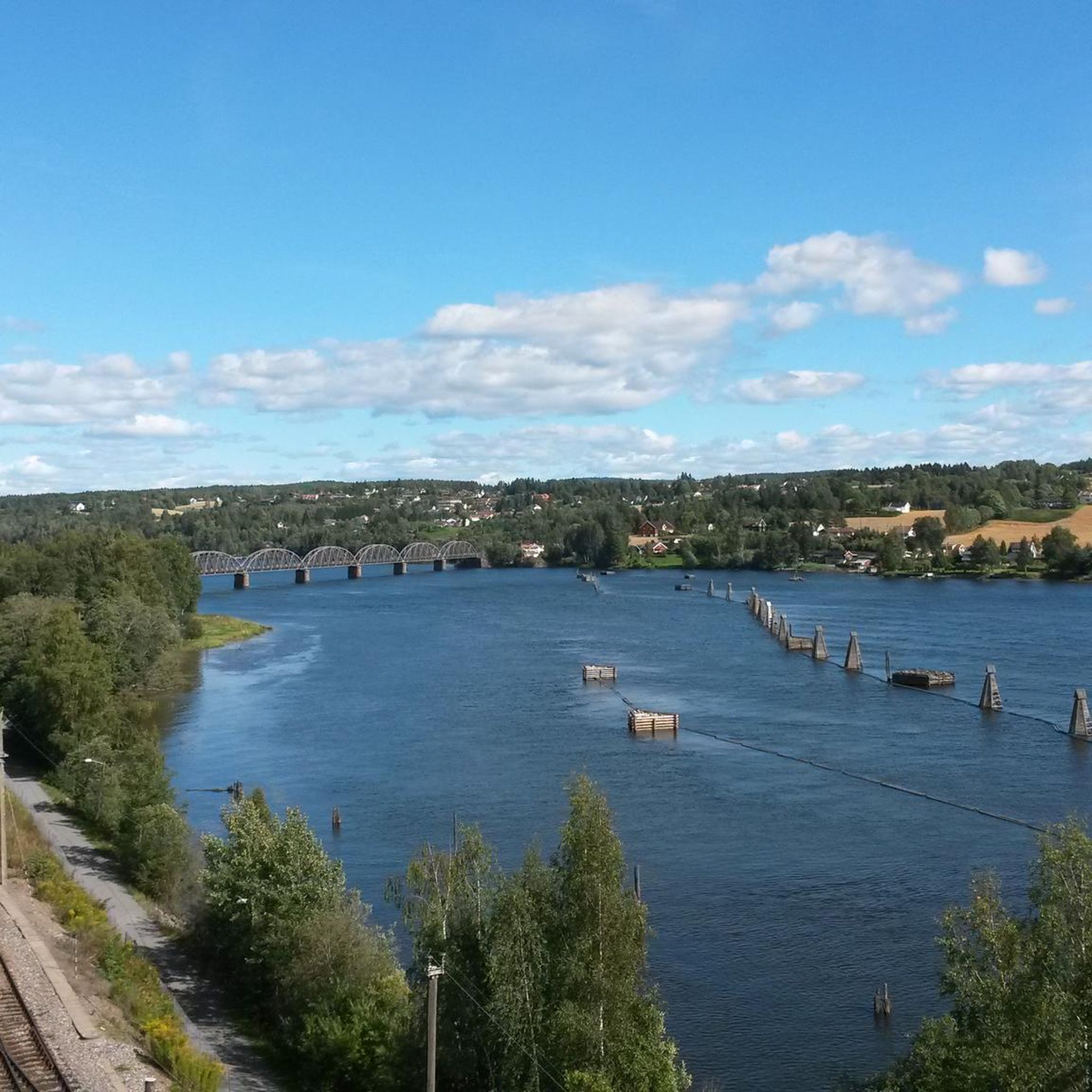
Hiking around Rælingen offers diverse landscapes within Norway's Akershus county, characterized by its connection to Østmarka National Park. The terrain features extensive forest areas, including ancient trees and coniferous forests, alongside distinctive ravine formations. Elevated areas such as Bjønnåsen provide panoramic views over the surrounding woodlands and hills, while serene lakes like Åmotdammen and the Nitelva River add to the natural features.
Best hiking trails around Rælingen
- The most popular hiking route is Bjønnåsen – Buåsen loop from Strømmen stadion…
Last updated: October 5, 2026
3.3
(4)
8
hikers
4.25km
01:11
80m
80m
Easy hike. Great for any fitness level. Easily-accessible paths. Suitable for all skill levels.
12
hikers
5.37km
01:34
120m
120m
Easy hike. Great for any fitness level. Easily-accessible paths. Suitable for all skill levels.

1
hikers
4.47km
01:17
110m
110m
Easy hike. Great for any fitness level. Easily-accessible paths. Suitable for all skill levels.
4.14km
01:08
70m
70m
Easy hike. Great for any fitness level. Easily-accessible paths. Suitable for all skill levels.
4.21km
01:23
190m
190m
Easy hike. Great for any fitness level. Easily-accessible paths. Suitable for all skill levels.
Get access to more routes and recommendations from other explorers.
Already have an account?
Our route recommendations are based on thousands of hikes, rides, and runs completed by other people on komoot.
Start today with a free account
Your next adventure awaits.
Other adventures around Rælingen

Tips from the Community

This route runs through hilly forest terrain to the west of Åmotdammen. It is a nice scenic woodland walk with several viewpoints and benches to rest along the way. It is less than four kilometres long, and you should be able to complete it in an hour.
0
0
This is a great little area for a break. You have a bench here and a great view through the trees and down over the lake.
0
0

These gorgeous woodland trails are just a short hop from the villages of Kurland and Blystadlia. From here, you can explore Åmotdammen with its designated swimming spots, or head uphill to the viewpoints at Bjønnåsen or Marikollen.
0
0
There are some lovely views to be had on the woodland trails above Åmotdammen. It's a great place to hike around sunset, with the sun sinking to the west. Even better are the vistas from nearby viewpoints Bjønnåsen and Marikollen.
0
0
Popular with swimmers, Åmotdammen is a lovely lake to hike alongside. Named after the Åmot farms at the confluence of the Nitelva and Leira rivers, it provides a pleasant escape from the urban sprawl of Oslo. It's part of the wider Østmarka region, which is brimming with woodland trails.
0
0

Rælingsåsen is a forested ridge that connects the Rælingen suburbs to the extensive trail network of Østmarka. The hills are a popular year-round destination, featuring a variety of paths and illuminated trails and paths that lead to scenic viewpoints overlooking the Øyeren delta.
0
0
Blystadlia sits on the edge of the Rælingsåsen hills, and is a gateway to the rugged wilderness of Østmarka. From the doorstep, hikers can follow well-marked trails up to Bjønnåsen for expansive views or explore the quiet forest paths leading toward the scenic Åmotdammen lake.
0
0

At the small viewpoint in Bjonnasen, you’ll find a wide, sweeping view of rolling forests stretching all the way to the horizon. There’s also a map marker that will help you interpret the landscape.
0
0
Frequently Asked Questions
How many hiking trails are available in Rælingen?
Rælingen offers a selection of 10 hiking routes, catering to various skill levels. You'll find 5 easy trails and 5 moderate trails, ensuring there's something for everyone to explore.
Are there any easy hiking trails suitable for beginners or families in Rælingen?
Yes, Rælingen has 5 easy hiking trails perfect for beginners or families. A great option is the Nordbysjøen Lakeside, Østmarka – Myrdammen loop from Løkka, an easy 4.2 km route that takes about 1 hour and 9 minutes to complete, offering serene lakeside views.
What kind of terrain and natural features can I expect on Rælingen's hiking trails?
Rælingen's trails traverse diverse landscapes, primarily within the Østmarka National Park. You'll encounter ancient, old-growth forests, serene lakes like Mønevann and Nordbysjøen, and the Nitelva river. Elevated areas such as Trangsrudåsen and Bjønnåsen offer panoramic views over the surrounding woodlands and hills. The region features both boreal coniferous forests and boreonemoral vegetation zones.
Are there any circular hiking routes in Rælingen?
Yes, many of Rælingen's trails are designed as loops. For example, the Bjønnåsen – Buåsen loop from Strømmen stadion is a moderate 7.2 km route, and the Night Walkway Bridge loop from Blystadlia is a 9.2 km trail that leads through forested areas and along a unique walkway bridge.
Where can I find the best viewpoints along Rælingen's hiking trails?
For expansive views, head to elevated areas like Trangsrudåsen, which offers panoramic vistas of rolling hills and shimmering lakes. Bjønnåsen, known as the 'Bear Hill,' is the highest viewpoint in Østmarka, providing views that can extend up to 134 kilometers on clear days. The Bjønnåsen – Ramstadslottet loop from Marikollen skisenter is a great option to experience both Bjønnåsen and Ramstadslottet.
Are there any historical or cultural landmarks to explore while hiking in Rælingen?
Yes, Rælingen offers several points of interest that blend nature with history. Bjønnåsen, besides its views, was a gathering spot for Norwegian resistance fighters during World War II. You can also explore the Sarabråten Ruins or visit the Røverkollen Telecommunication Tower. The Milorghula Cave, a former weapons hideout from WWII, also adds a unique cultural layer to outdoor excursions.
What do other hikers say about the trails in Rælingen?
The hiking routes in Rælingen are highly regarded by the komoot community, holding an average rating of 4.5 stars from over 120 reviews. Hikers often praise the diverse forest terrain, the serene lakes, and the rewarding panoramic views from elevated points like Bjønnåsen and Ramstadslottet.
Are there any huts or lodges along the hiking trails in Rælingen?
Yes, there are several huts and lodges that can serve as resting points or destinations. Notable options include Vangen Ski Lodge, Aaraas Gård Pilgrim Hostel, Sandbakken Lodge, and the Røyrivannskoia DNT Cabin.
Where can I park when visiting Rælingen's hiking trails?
Rælingen municipality is dedicated to enhancing access to its natural areas and provides well-maintained parking facilities at various trailheads. Convenient parking can be found at locations such as Sandbekken, Marikollen, Tristilvegen, Myrdammen, and Nordby.
Are there any specific nature reserves or protected areas to be aware of in Rælingen?
A significant portion of Rælingen is connected to Østmarka National Park, which is known for preserving ancient, untouched old-growth forests and rich biodiversity. Additionally, the Ramstadslottet Nature Reserve is home to unique old-growth forests, featuring pine trees over 300 years old and some of the largest spruce trees in Eastern Norway.
What are some of the longer hiking options in Rælingen?
For a longer hike, consider the Ramstadslottet – Bjønnåsen loop from Strømmen stadion. This moderate route covers 9.8 km and involves significant elevation gain, typically taking around 2 hours and 59 minutes to complete, offering extensive views and varied forest terrain.
Most popular attractions around Rælingen

Get inspired with the komoot mobile app


Explore more
Browse the best Hikes in other regions.
