The best running trails around Surnadal
4.0
(2)
73
runners
6
runs
Jogging around Surnadal offers a diverse natural landscape, characterized by a blend of forests, fjords, and mountains. The region is shaped by the majestic Trollheimen mountain range to the south and features the Surna River flowing through the valley. Runners can explore routes with varying elevations, from gentle loops around nature reserves to more challenging trails with significant climbs.
Best jogging routes around Surnadal
- The most popular jogging route is Innerdalen Valley Trail, a 5.1 miles (8.3 km) trail that takes 1 hour 4 minutes to complete. This route offers views of Innerdalsvatnet and Innerdalstårnet.
- Another top favourite among local runners is Surna naturreservat loop from Øye kyrkje, a moderate 5.1 miles (8.2 km) path. This route explores the Surna naturreservat, often on paved surfaces.
- Local runners also love the Running loop from Grytafeltet, a 5.7 miles (9.2 km) trail leading through the Surna naturreservat area, often completed in about 59 minutes.
- Jogging around Surnadal is defined by its forests, fjords, and the Surna River. The network offers options for different ability levels, from moderate loops to more difficult mountain trails.
- The routes in Surnadal are highly rated by the komoot community with an average score of 4.0 stars from more than 2 reviews. More than 70 runners have used komoot to explore Surnadal's varied terrain.
Last updated: October 15, 2026
21
runners
8.28km
01:04
280m
280m
Moderate run. Good fitness required. Mostly paved surfaces. Suitable for all skill levels.
5.0
(1)
17
runners
9.19km
00:59
110m
110m
Moderate run. Good fitness required. Mostly paved surfaces. Suitable for all skill levels.

17
runners
8.23km
00:51
60m
60m
Moderate run. Good fitness required. Mostly paved surfaces. Suitable for all skill levels.
3.0
(1)
9
runners
11.8km
01:15
120m
120m
Moderate run. Good fitness required. Mostly paved surfaces. Suitable for all skill levels.
6
runners
6.31km
00:39
30m
30m
Moderate run. Good fitness required. Mostly paved surfaces. Suitable for all skill levels.
Our route recommendations are based on thousands of hikes, rides, and runs completed by other people on komoot.
Start today with a free account
Your next adventure awaits.
Popular around Surnadal
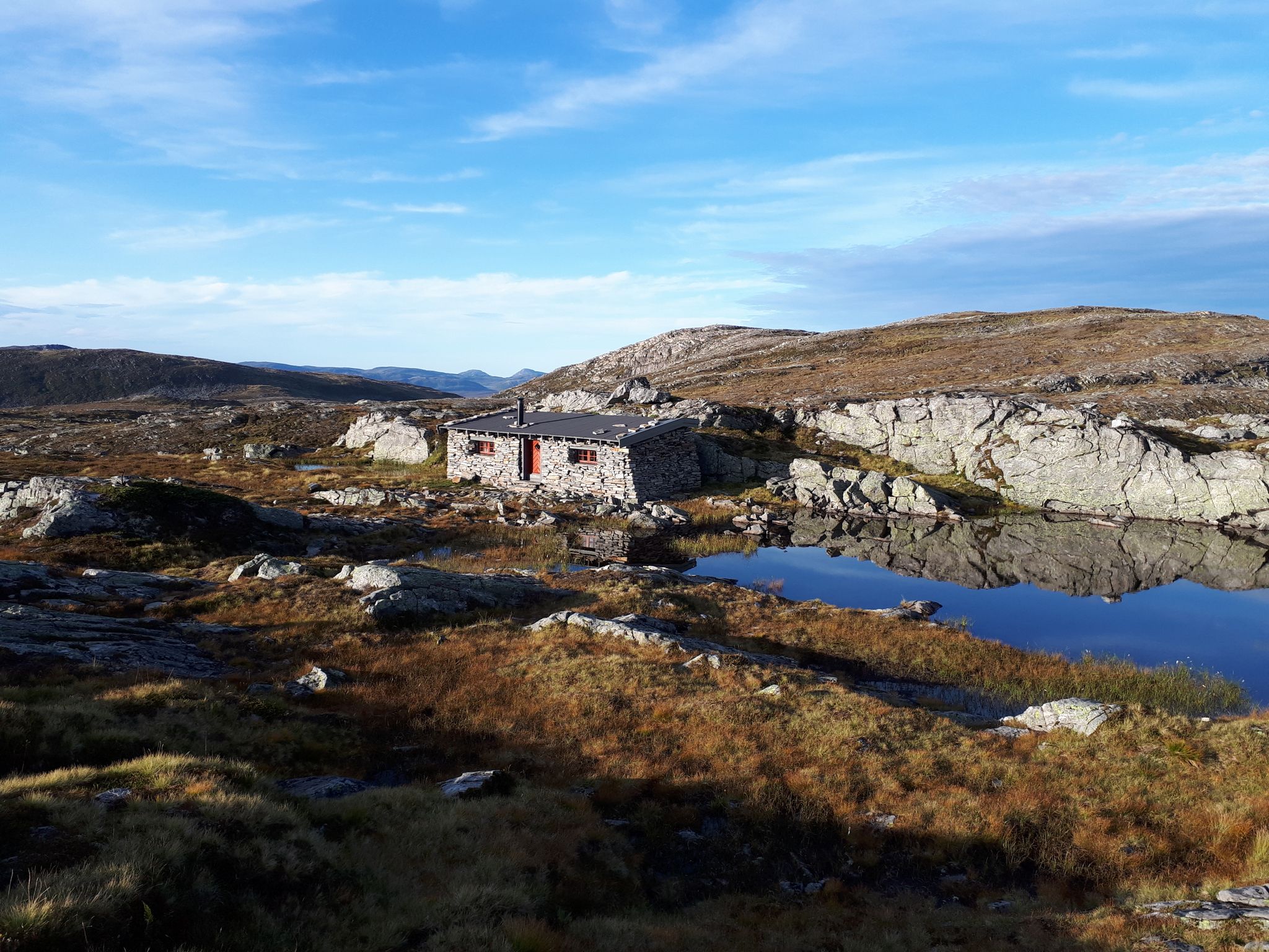
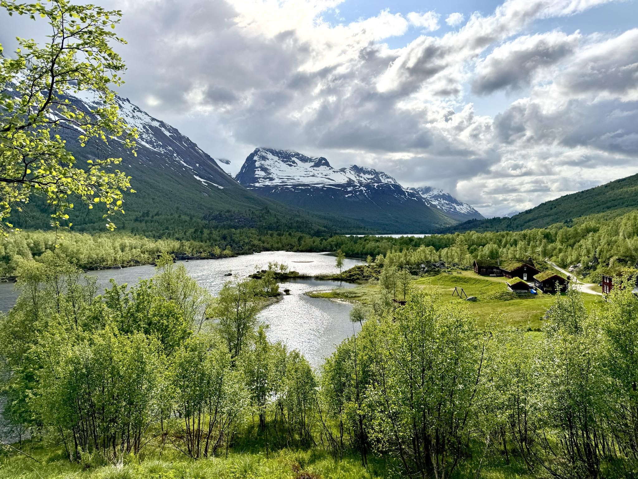
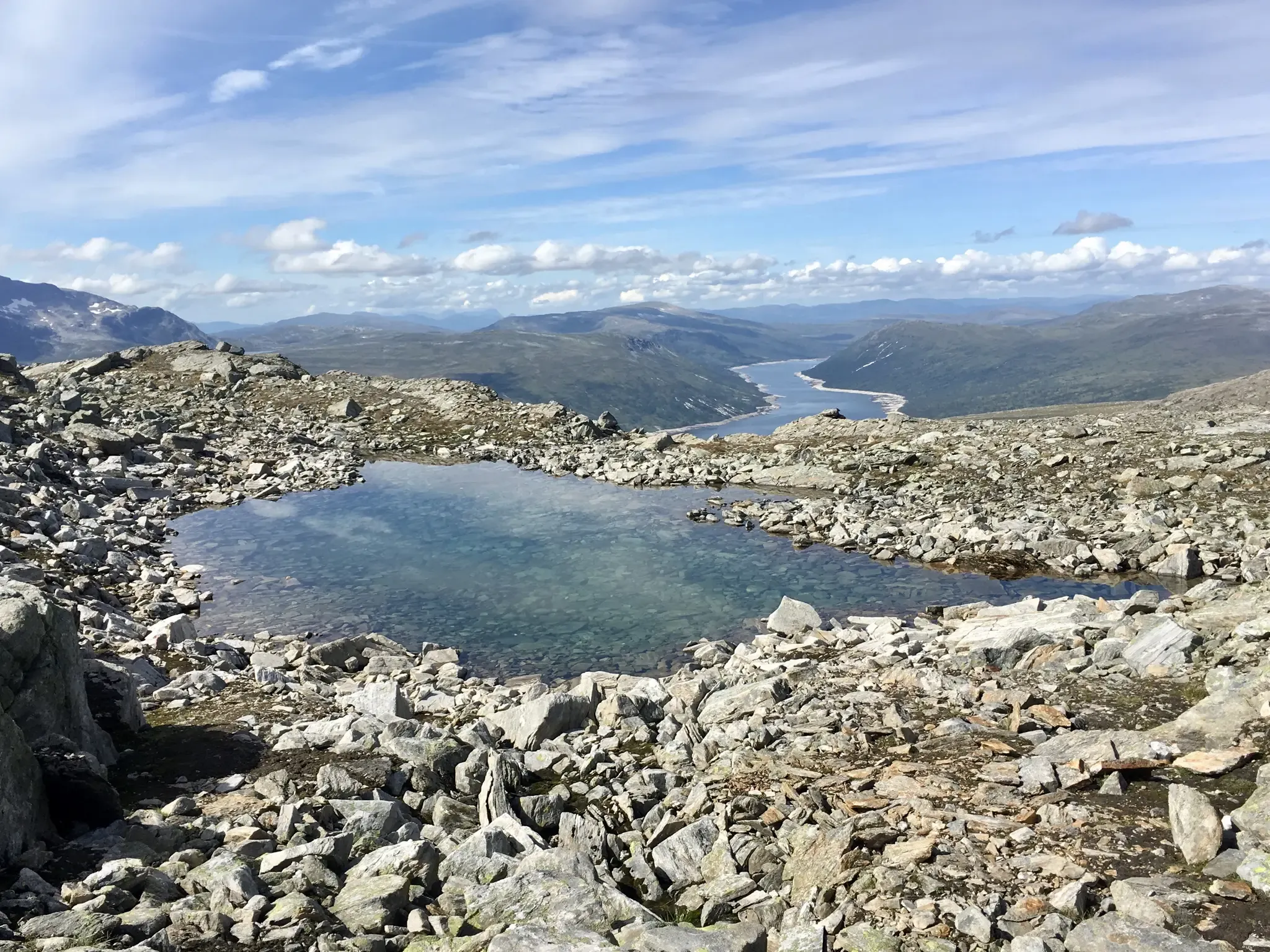
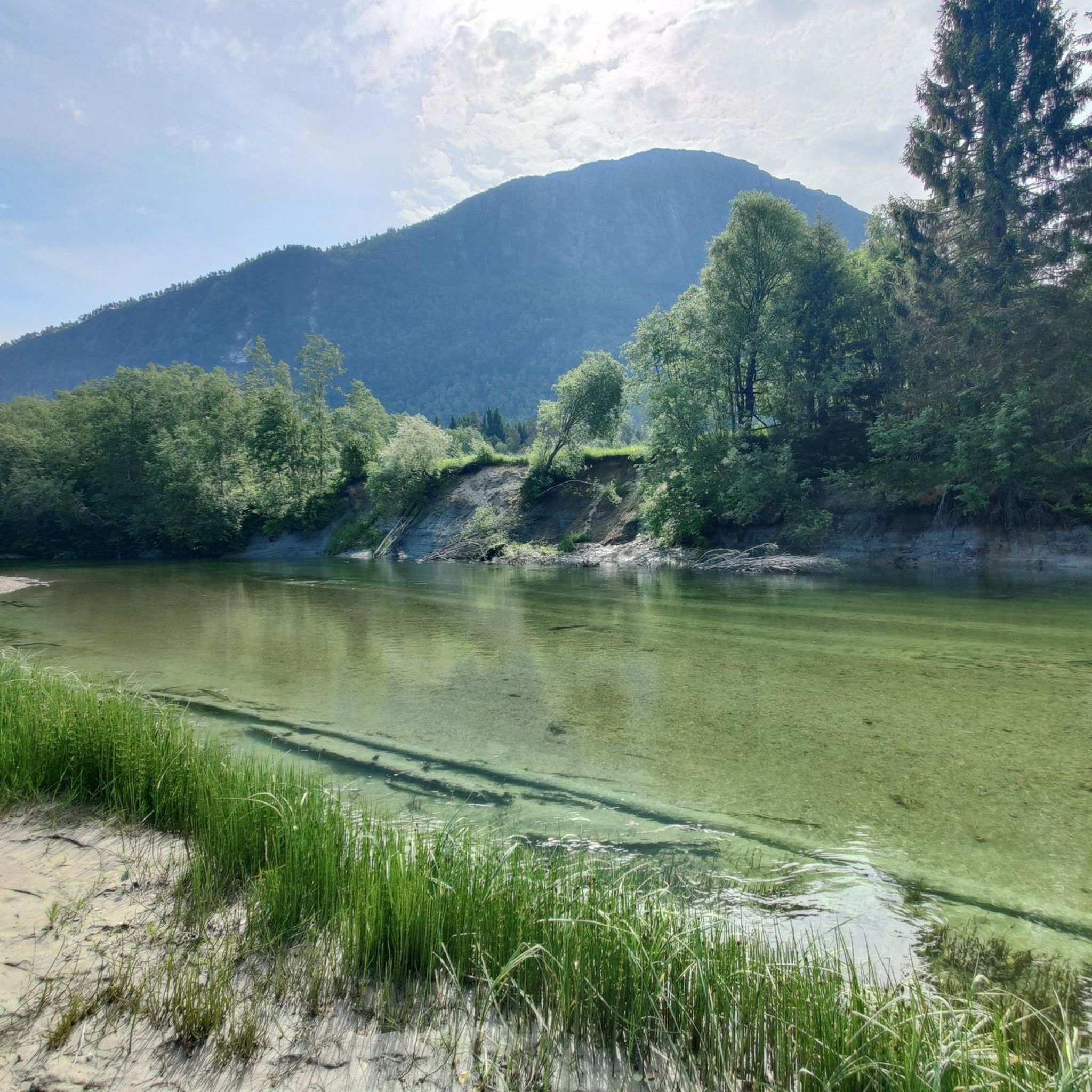
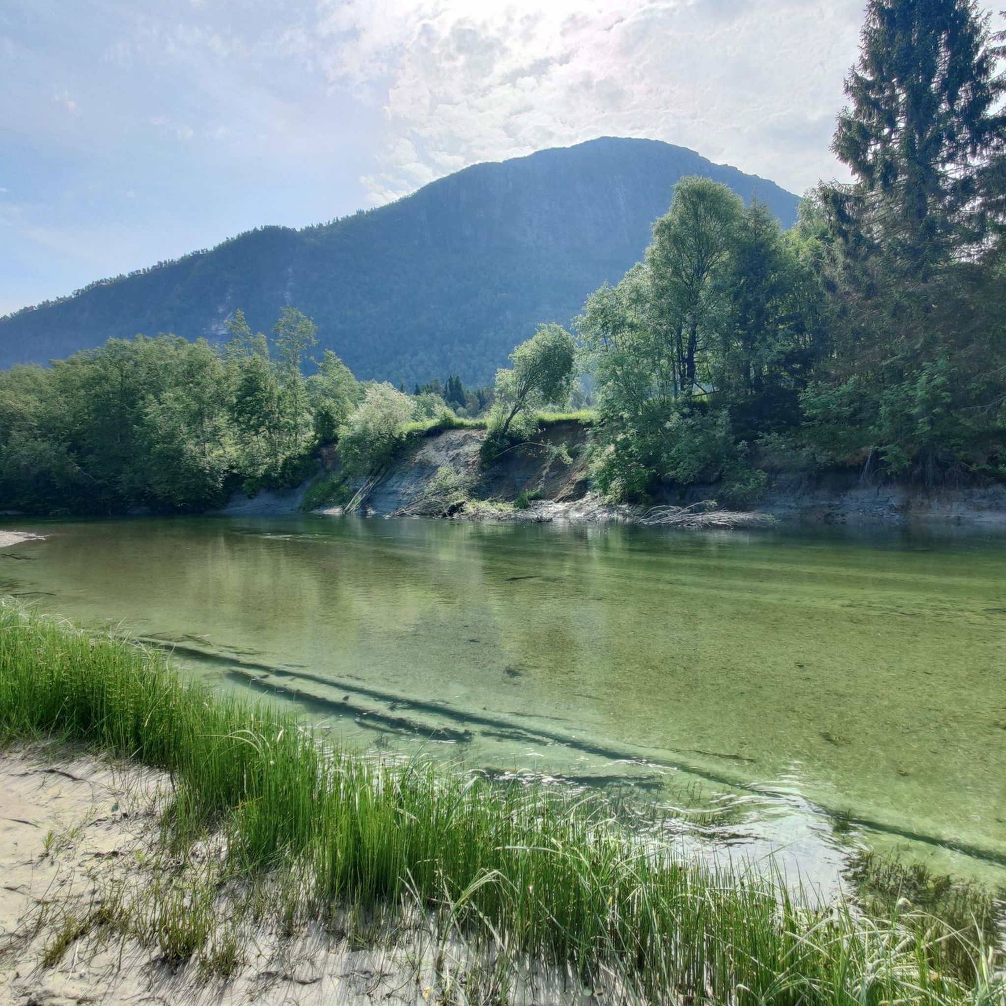
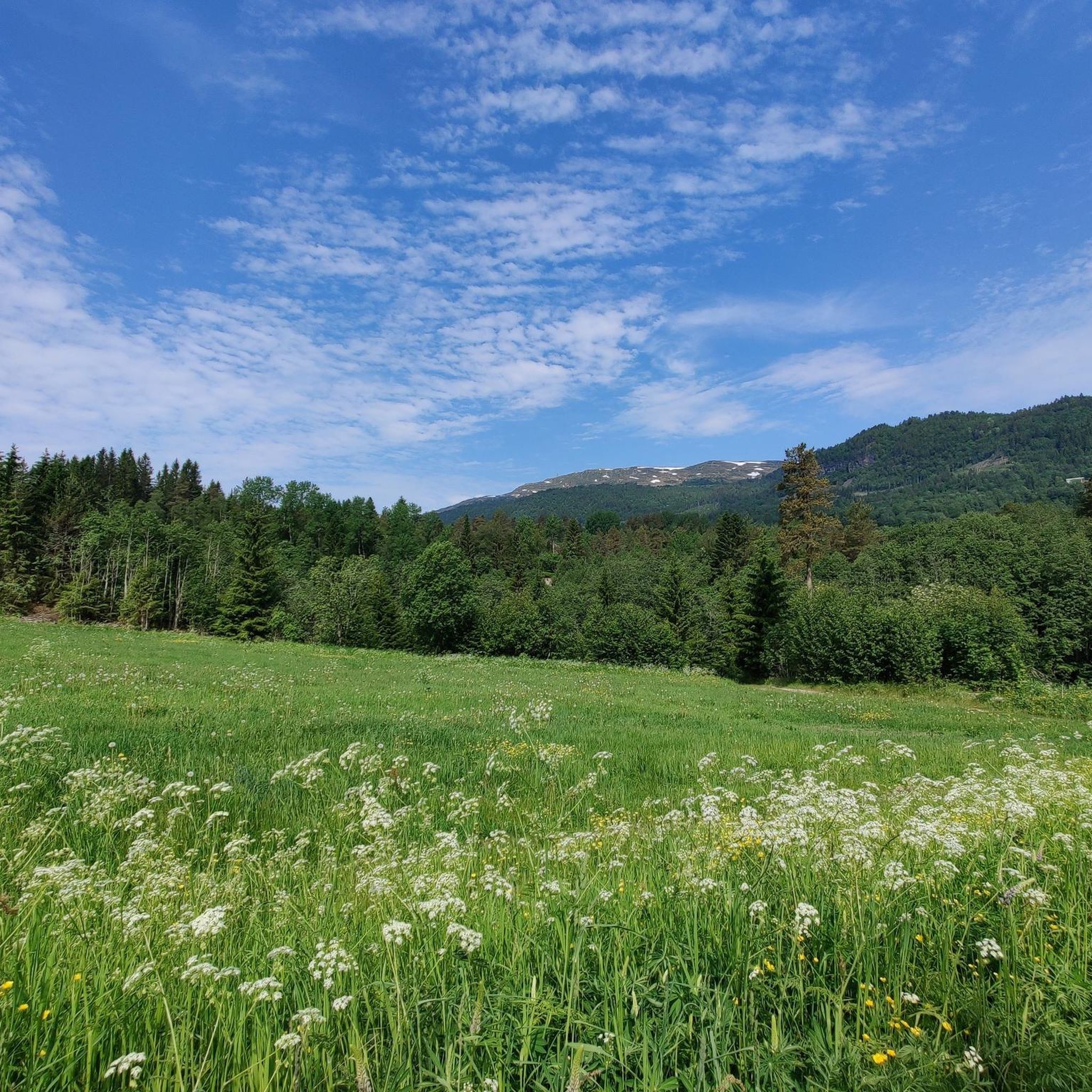
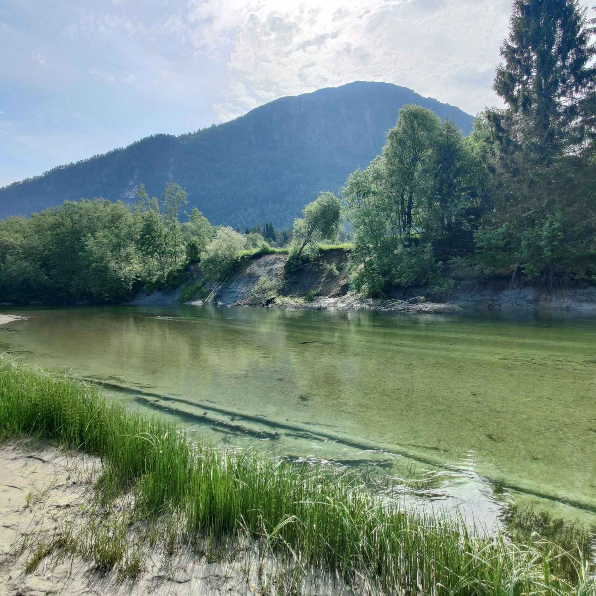
Other adventures around Surnadal


Tips from the Community

Innerdalshytta enjoys the tremendous backdrop of mighty Innerdalstårnet, sometimes cited as the Matterhorn of Norway. This DNT cabin provides accommodation and, during the summer months, there's food and drink available.
0
0
Innerdalsvatnet is a gorgeous lake in the sublimely beautiful Innerdalen. The view across the water to the towering Innerdalstårnet is sure to get the pulse racing.
0
0
Renndølsetra is a mountain pasture farm in an absolutely idyllic setting. There's accommodation, with evening meals for guests, while hikers not staying can also sample some local produce here too. It's a great place for a break in beautiful Innerdalen.
1
0

Metallurgy with a view of the lake and the striking mountain.
0
0
A stop at the end of the way. Ever since Lonely Planet and Instagram discovered Innerdalen, things have been going on like in the Bernese Oberland.
0
0
Frequently Asked Questions
How many running routes are available in Surnadal?
Surnadal offers a selection of over 7 running routes, catering to various preferences. These routes are highly rated by the komoot community, with an average score of 4.0 stars.
Are there any circular running routes in Surnadal?
Yes, Surnadal features several excellent circular running routes. For example, the Surna naturreservat loop from Øye kyrkje is a moderate 5.1-mile path exploring the nature reserve, often on paved surfaces. Another popular option is the Running loop from Grytafeltet, a 5.7-mile trail also leading through the Surna naturreservat area.
What kind of scenery can I expect on jogging trails in Surnadal?
Jogging in Surnadal offers incredibly diverse and stunning scenery. You'll find a captivating blend of forests, fjords, and mountains. Routes like the Innerdalen Valley Trail provide breathtaking views of Innerdalsvatnet and Innerdalstårnet, within what is often called Norway's most beautiful valley. You can also explore areas around the Surna River, known for its large delta and salmon, or discover the unique chalk-white limestone beach of Kalkstranda.
Are there any challenging running routes for experienced runners?
Absolutely. For those seeking a more demanding run, Surnadal offers routes with significant elevation gains. The Renndølsetra – Innerdalshytta loop from Dalen is classified as difficult, featuring over 600 meters of elevation gain over 14 kilometers. The region borders the majestic Trollheimen mountain range, providing challenging terrain and breathtaking vistas.
What are some family-friendly jogging options in Surnadal?
While specific 'easy' routes are not listed, many of the moderate loops around the Surna naturreservat, such as the Surna naturreservat loop from Øye kyrkje, are largely on paved surfaces and have less extreme elevation changes, making them suitable for families looking for a pleasant run or walk together. The general terrain of forests and river deltas offers a gentle experience.
Can I bring my dog on the running trails in Surnadal?
Surnadal's natural environment is generally welcoming for dogs. While specific dog-friendly regulations can vary by exact location, most outdoor trails in Norway, especially in nature reserves like Surna naturreservat, allow dogs on a leash. It's always recommended to check local signage or municipality rules for any specific restrictions in certain areas or during particular seasons.
Are there any waterfalls to see while running in Surnadal?
Yes, Surnadal is home to the impressive Nauståfossen, a 110-meter waterfall. While not directly on a listed jogging route, it is accessible via hiking trails in the region, offering a spectacular natural sight that could be combined with a longer outdoor adventure.
What do other runners enjoy most about jogging in Surnadal?
The komoot community highly rates the running experience in Surnadal, with an average score of 4.0 stars. Runners often praise the region's diverse natural landscape, which combines forests, fjords, and mountains. The variety of routes, from moderate loops on paved surfaces to more challenging mountain trails, is also a key highlight, offering something for every ability level.
Are there any interesting landmarks or attractions near the running routes?
Yes, Surnadal offers several points of interest. The Innerdalen Valley, traversed by the Innerdalen Valley Trail, is renowned for its beauty. You can also find several huts and cabins in the wider area, such as Renndølsetra. The historic village center of Surnadalsøra, where the river, fjord, forest, and mountains converge, offers a maritime atmosphere and amenities.
Is it possible to reach running trails in Surnadal using public transport?
While Surnadal is known for its untouched nature, public transport options to specific trailheads might be limited. The main village of Surnadalsøra serves as a local hub. For routes starting from locations like Øye kyrkje or Grytafeltet, it's advisable to check local bus schedules or consider personal transport for direct access to the starting points.
What is the best time of year for jogging in Surnadal?
The best time for jogging in Surnadal is typically during the warmer months, from late spring to early autumn (May to September). During this period, the weather is milder, trails are clear of snow, and the natural landscape is vibrant. The region's diverse terrain makes it enjoyable across these seasons, with autumn offering beautiful foliage.
Most popular routes around Surnadal
Most popular attractions around Surnadal

Get inspired with the komoot mobile app


Explore more
Browse the best Running Trails & Routes in other regions.
