The best road cycling routes around Stekene
4.4
(29)
1,464
riders
96
rides
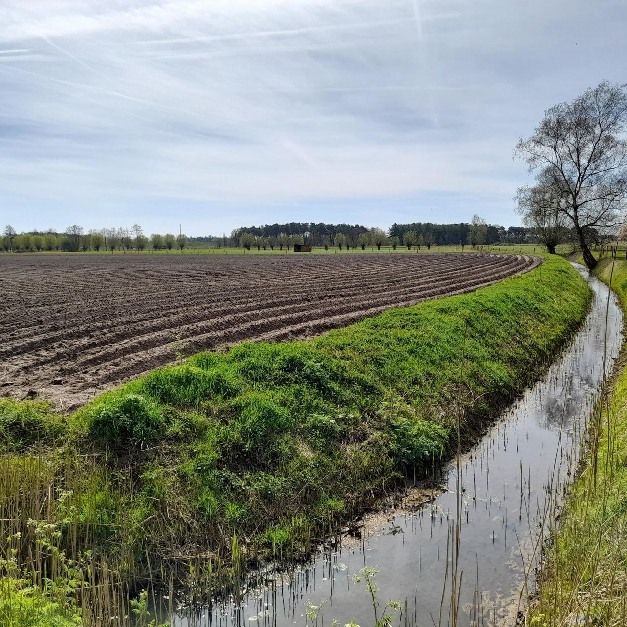
Road cycling routes around Stekene are characterized by the flat, cyclist-friendly terrain of the Waasland region in Belgium. This area offers an extensive network of mostly paved routes, making it accessible for road cyclists of varying skill levels. The landscape features varied natural environments, including riverside paths and open fields, with minimal elevation changes.
Best road cycling routes around Stekene
- The most popular road cycling route is Path Along the Molenbeek – Mira Bridge loop from Stekene, a 34.7…
Last updated: July 11, 2026
5.0
(2)
114
riders
55.3km
02:36
140m
140m
Moderate road ride. Good fitness required. Some segments of this route may be unpaved and difficult to ride.
95
riders
Easy road ride. Great for any fitness level. Mostly well-paved surfaces and easy to ride.

Sign up for free
78
riders
41.9km
01:54
40m
40m
Easy road ride. Great for any fitness level. Mostly well-paved surfaces and easy to ride.
66
riders
57.2km
02:44
110m
110m
Moderate road ride. Good fitness required. Mostly well-paved surfaces and easy to ride.
57
riders
Moderate road ride. Good fitness required. Some segments of this route may be unpaved and difficult to ride.
Get access to more routes and recommendations from other explorers.
Sign up for free
Already have an account?
Our route recommendations are based on thousands of hikes, rides, and runs completed by other people on komoot.
Start today with a free account
Your next adventure awaits.
Login or Signup

Other adventures around Stekene

Tips from the Community

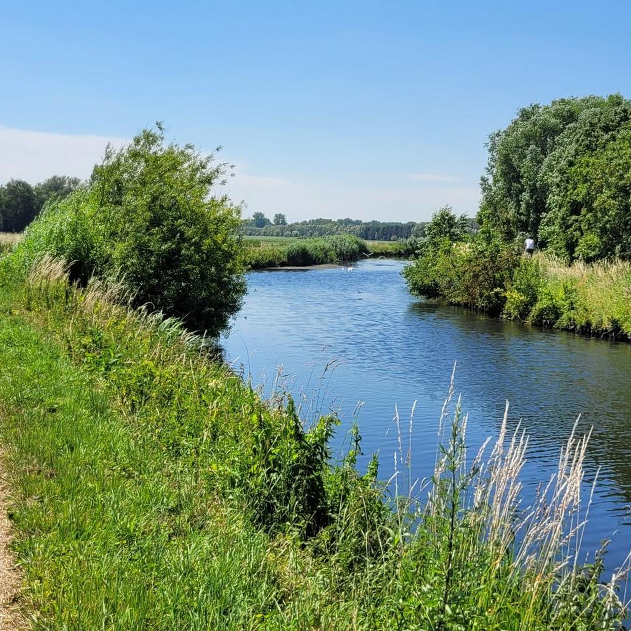
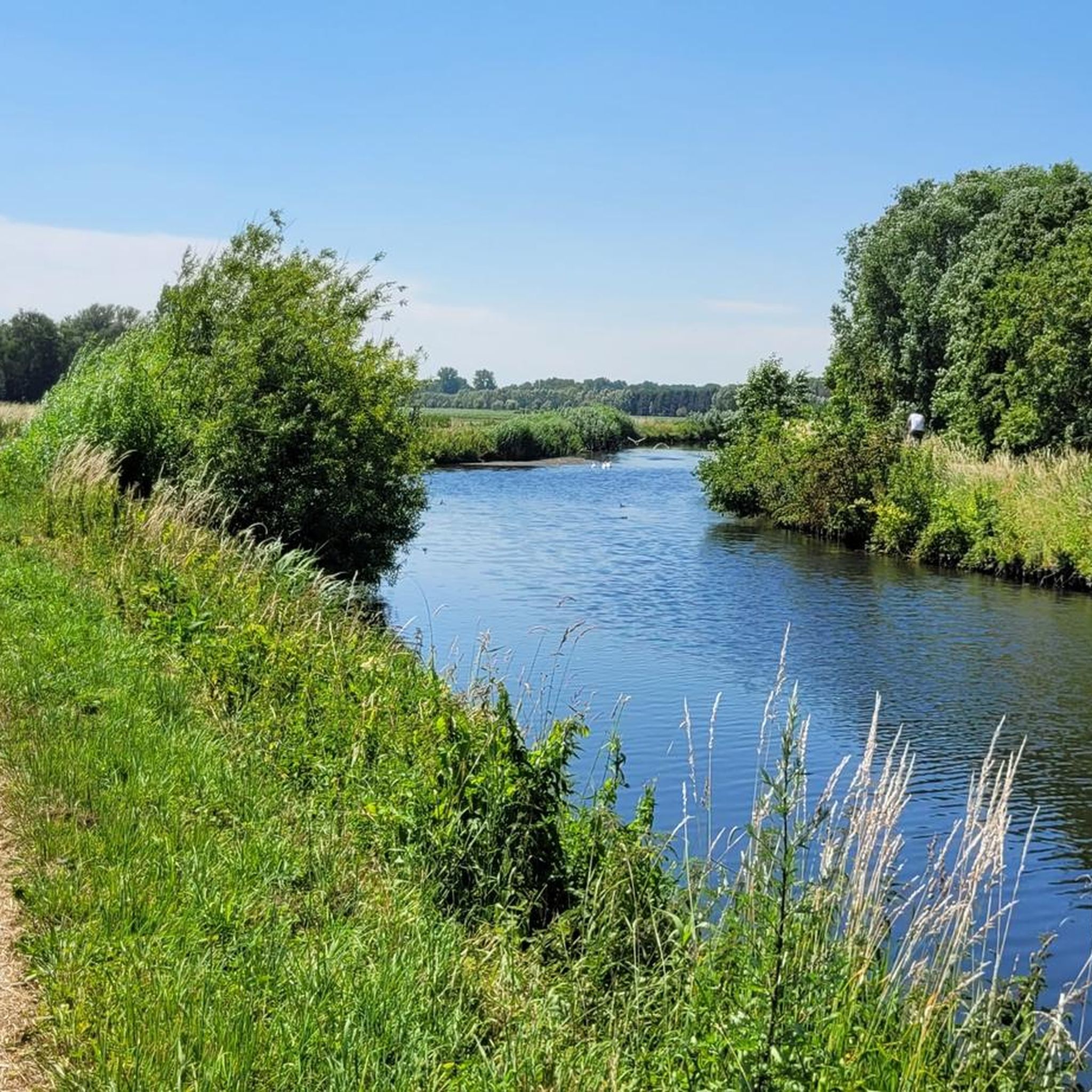
The Molenbeek forms part of the northern border of the municipality of Sint-Niklaas with the municipalities of Sint-Gillis-Waas and Stekene. Hydrographically, the Molenbeek belongs to the basin of the Gentse Kanalen. Previously, the Molenbeek originated in the center of Sint-Niklaas, at the site where the Romain De Vidtspark is now located. Nowadays, the stream flows through the entire Sint-Niklaas center from south to north in culverts, to re-emerge on the surface at the edge of Belsele and then flow through Sinaai until it flows into the Stekense Vaart. From that confluence, a path follows the banks of the stream for a considerable distance.
2
0

This station, dating from 1910, was once on line 77 Sint-Gillis-Waas - Zelzate and 77a Lokeren - Moerbeke-Waas. After 1960, the station was only used for freight transport, namely for the transport of sugar beet (especially from West Flanders) to the sugar factory in Moerbeke-Waas. At the end of 2007, that transport also stopped and shortly after the factory (Iscal Sugar) closed. Since 2011, the local library has been located in the station (extended with new construction).
4
0
The Dambrug bridge dates from the interwar period and was restored and partially renewed around 1945 after war damage. Originally, the bridge was manually operated, but it now has hydraulic operation. Source: Inventaris Onroerend Erfgoed
3
0

quiet road next to the Moervaart
0
0

Very beautiful, calm, greenery.
0
0


Frequently Asked Questions
What kind of terrain can I expect on road cycling routes around Stekene?
The road cycling routes around Stekene are primarily characterized by the flat, cyclist-friendly terrain of the Waasland region. You'll find an extensive network of mostly paved surfaces, making it ideal for road bikes. The landscape features varied natural environments, including riverside paths and open fields, with minimal elevation changes.
How many road cycling routes are available in the Stekene area?
Stekene offers a wide array of road cycling options. There are over 70 routes available on komoot, with the broader Waasland region boasting a 720 km cycle network, providing numerous possibilities for exploration.
Are there any easy road cycling routes suitable for beginners in Stekene?
Yes, Stekene is very accessible for cyclists of all levels due to its flat topography. There are 23 easy routes available on komoot, perfect for casual rides or those new to road cycling. Many routes are mostly paved and suitable for various fitness levels.
What are some longer road cycling routes near Stekene?
For longer excursions, you can explore routes that extend into the broader Waasland region. Routes like the Path Along the Molenbeek – Mira Bridge loop from Stekene cover about 56 km, while the View of Temse bridge – Mira Bridge loop from Koewacht is around 57 km. These routes offer expansive views and connect various parts of the flat landscape.
What do other road cyclists enjoy most about cycling in Stekene?
The road cycling routes in Stekene are highly rated by the komoot community, with an average score of 4.5 stars from over 20 reviews. Cyclists often praise the flat, varied landscapes, the extensive paved networks, and the pleasant riverside paths that make for enjoyable rides.
Are there any interesting landmarks or natural features to see along the road cycling routes?
Yes, the region offers several points of interest. You can cycle past various castles, such as Puyenbrug Castle or Walburg Moated Castle. The routes also take you through natural areas like the Groot Eiland Nature Reserve and along the Molenbeek, offering picturesque views of local waterways and the flat landscape.
Can I find family-friendly road cycling routes in Stekene?
Absolutely. The generally flat topography and extensive network of mostly paved paths make Stekene an excellent choice for family-friendly road cycling. Many routes are suitable for all skill levels, allowing families to enjoy leisurely rides together.
Are there any routes that explore the 'Reynaert the Fox' theme in the area?
Yes, the Reynaert the Fox legend is a notable cultural element in the region. You can explore routes like the Reynaert the Fox – Bicycle Street Tunnel loop from Stekene, which incorporates elements related to this local folklore.
What is the best time of year for road cycling in Stekene?
The flat terrain of Stekene makes it suitable for road cycling for much of the year. Spring and autumn generally offer pleasant temperatures and beautiful scenery. However, with its well-developed infrastructure, cycling is enjoyable whenever the weather permits.
Are there any specific routes that offer views of bridges or significant waterways?
Many routes in Stekene highlight the local waterways and infrastructure. For instance, the View of Temse bridge – Mira Bridge loop from Koewacht provides expansive views including the Temse bridge, while the Path Along the Molenbeek – Mira Bridge loop from Stekene follows the Molenbeek, showcasing local water features.
Can I find routes that connect to other towns or markets in the region?
Yes, Stekene's location within the Waasland region allows for routes that connect to nearby towns and points of interest. The Hulst Market Square – Het Schor loop from Stekene, for example, leads through the Waasland region and often includes the charming Hulst Market Square.
Most popular attractions around Stekene

Get inspired with the komoot mobile app


Explore more
Browse the best Road cycling routes in other regions.
