The best walks and hikes around Wichelen
4.2
(596)
2,948
hikers
124
hikes
Hiking around Wichelen offers diverse landscapes shaped by the meandering River Scheldt and its floodplains. The region features extensive nature areas like the Kalkense Meersen, characterized by meadows, marshes, and lakes. Hikers can also explore forested sections such as the Molenbeekbos, alongside former river arms and tidal marshes. The terrain generally presents gentle elevation changes, making it accessible for various hiking experiences.
Best hiking trails around Wichelen
- The most popular hiking route is Stationstapper: Schellebelle station to Schoonaarde station, a 14.5 miles (23.3 km) trail that takes 5 hours 52 minutes to complete. This route connects two train stations, offering a sustainable travel option for hikers.
- Another top favourite among local hikers is Meandering Old Scheldt – Kalkenvaart loop from Scheldt, a moderate 4.9 miles (8.0 km) path. This trail winds through the ecologically rich Kalkense Meersen and along the tranquil Old Scheldt.
- Local hikers also love the Chapel of Our Lady of Peace – Boardwalk Trail loop from Serskamp, a 5.6 miles (9.0 km) trail leading through natural areas with boardwalks, often completed in about 2 hours 18 minutes.
- Hiking around Wichelen is defined by the meandering River Scheldt, the expansive Kalkense Meersen, and tranquil forested areas, with options for various ability levels.
- The routes in Wichelen are highly rated by the komoot community with an average score of 4.3 stars from over 540 reviews. More than 2,800 hikers have used komoot to explore Wichelen's varied terrain.
Last updated: June 27, 2026
4.5
(17)
67
hikers
23.3km
05:52
30m
30m
Hard hike. Very good fitness required. Easily-accessible paths. Suitable for all skill levels.
4.4
(153)
682
hikers
7.97km
02:00
10m
10m
Moderate hike. Good fitness required. Easily-accessible paths. Suitable for all skill levels.

Sign up for free
4.7
(125)
387
hikers
8.97km
02:18
40m
40m
Moderate hike. Good fitness required. Easily-accessible paths. Suitable for all skill levels.
4.7
(19)
81
hikers
Easy hike. Great for any fitness level. Easily-accessible paths. Suitable for all skill levels.
4.4
(12)
95
hikers
6.28km
01:36
10m
10m
Easy hike. Great for any fitness level. Easily-accessible paths. Suitable for all skill levels.
Get access to more routes and recommendations from other explorers.
Sign up for free
Already have an account?
Our route recommendations are based on thousands of hikes, rides, and runs completed by other people on komoot.
Start today with a free account
Your next adventure awaits.
Login or Signup



Tips from the Community

Kijktoren Schellebelle; a viewing platform at the intersection of Tragelweg and Blokstraat offers you a unique view of the Kalkense Meersen. At this point, the Tragelpad with the old Scheldearm meets the Blokstraat, forming the nerve center of the recreational routes.
0
0

Former notary's house in Kalken.
0
0
"Wastine" is an old medieval word for wasteland. The Serskamp valley was once such a piece of land, and is now protected for its rich landscape structure. This allows a wide variety of plant and animal species to thrive there.
0
0

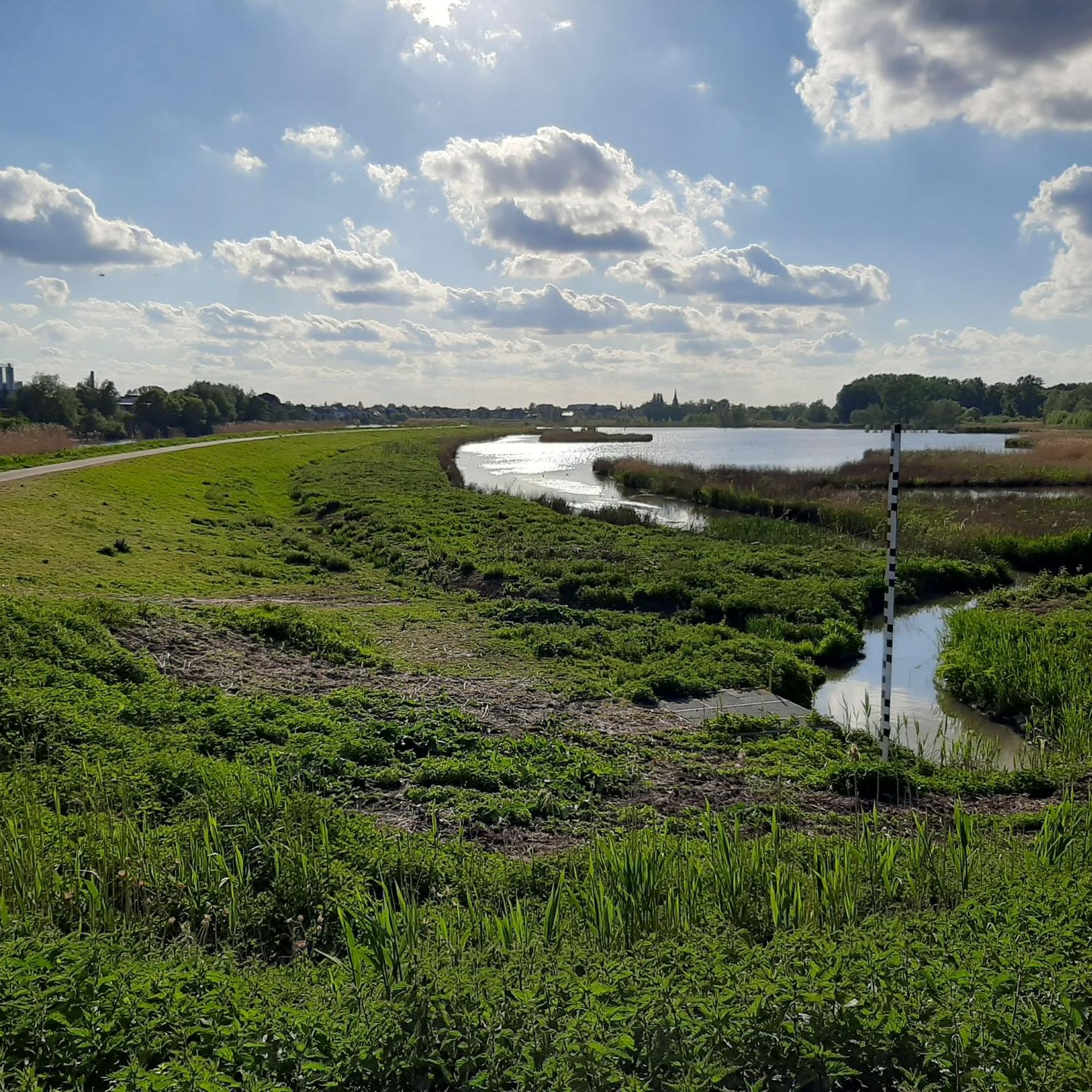
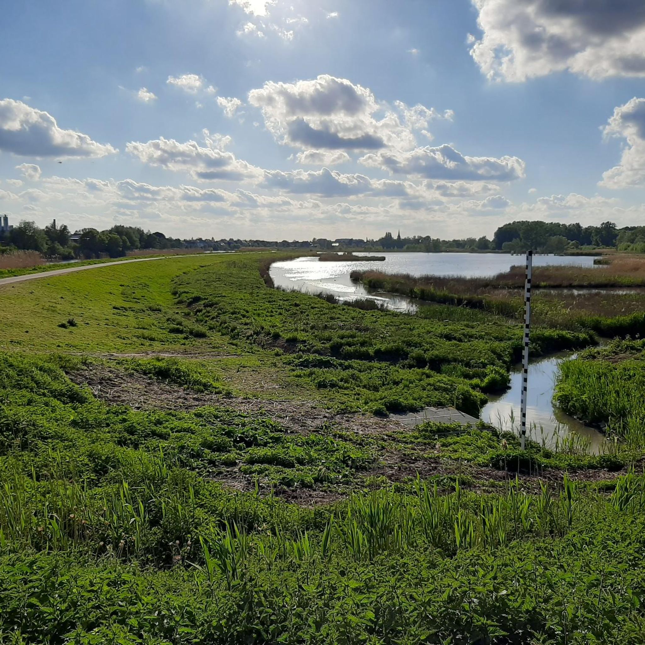
The viewing platform, strategically located at the intersection of the four municipalities that form the Kalkense Meersen, not only offers stunning views of the green landscape and the old Scheldt arm, but also allows visitors to observe the landscape's evolution over the years. According to Michaël Crapoen of Natuurpunt Scheldeland, the platform is a real asset because it offers the opportunity to experience nature from a different perspective. In addition, numerous recreational cycling and walking routes converge here. (Scheldt Valley National Park)
12
1
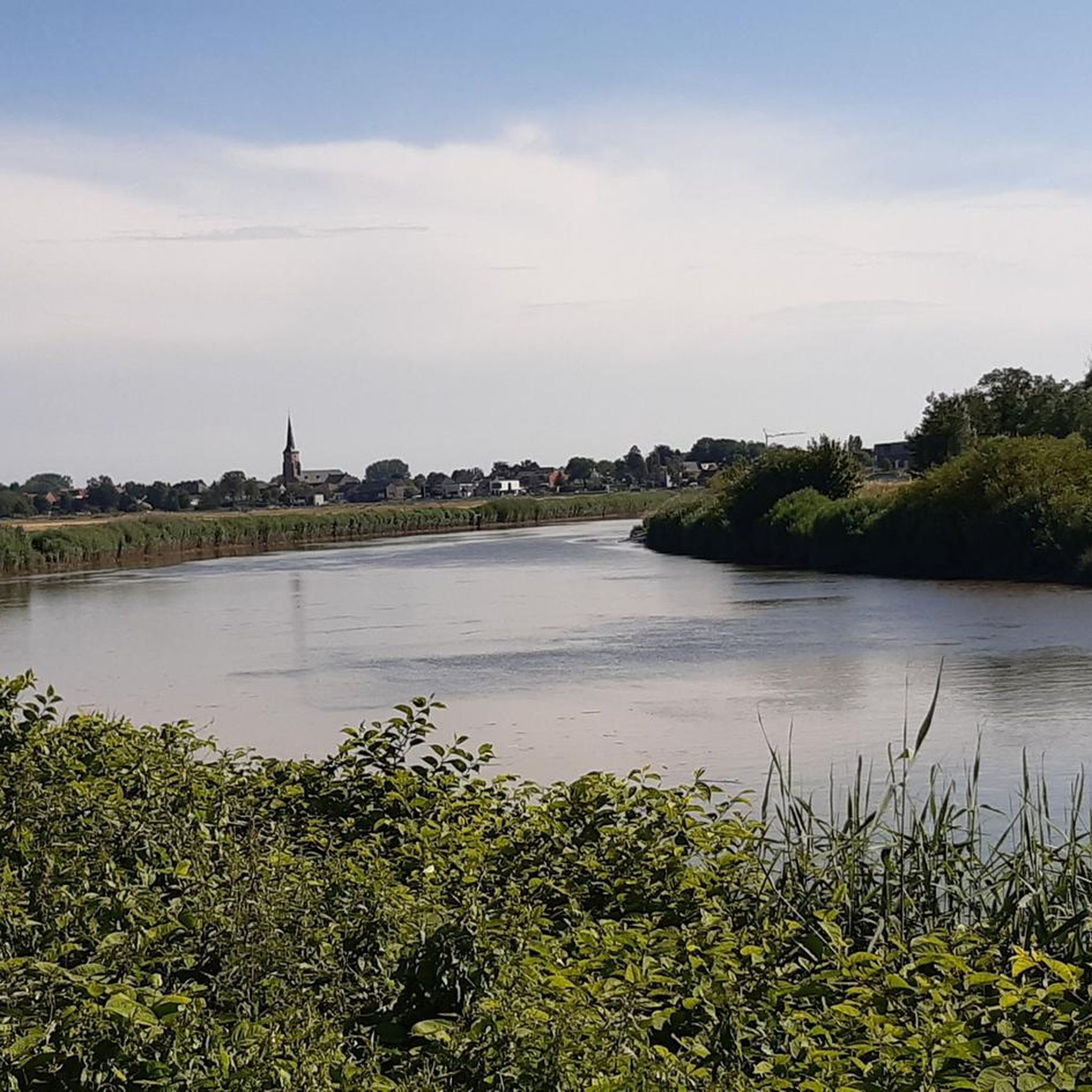
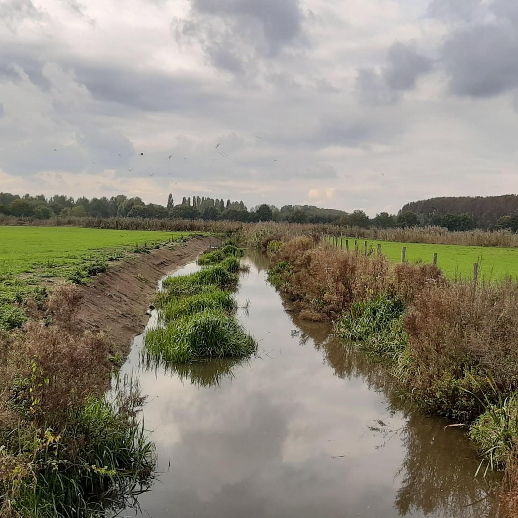
The Kalkenvaart is a waterway between the village of Kalken and the Scheldt River. It runs through the Kalkense Meersen nature reserve and is very popular with anglers, hikers, and cyclists. A wide cycle and walking path runs alongside the canal. Since its dredging in 2022, the Kalkense Vaart has been very clean. You can cross the canal via the Roerdompbrug (Broedomp Bridge) and/or watch for fish swimming by.
11
0

The charming café-restaurant 't Oud Brughuys, housed in a characterful building, is a popular stop for those exploring the region. What makes 't Oud Brughuys special is the combination of an authentic atmosphere and a postcard-perfect location. The café opens at noon (from 11:00 AM on Sundays) and closes at 10:30 PM, with closing days on Mondays and Tuesdays.
8
0
Open: Tuesday to Friday 10:30 - 21:00, Saturday 10:00 - 21:00, Sunday 09:00 - 21:00. Closed on Monday
15
0
The ferry of Schellebelle is one of the oldest crossings on the Lower Scheldt or Sea Scheldt. The ferry is said to have been created at the beginning of the 13th century after the Scheldt course was changed, cutting off the rural district of Aard from Schellebelle. In 1798, the ferry became the property of the state. (Vzw 't Veer)
14
0
Frequently Asked Questions
How many hiking trails are available in Wichelen?
Wichelen offers a wide variety of hiking experiences, with over 120 routes recorded on komoot. These range from easy strolls to more challenging treks, ensuring there's something for every hiker.
What kind of landscapes can I expect to see while hiking in Wichelen?
Hiking in Wichelen is characterized by the meandering River Scheldt and its floodplains, offering scenic paths along picturesque countryside. You'll also encounter extensive nature areas like the Kalkense Meersen, known for its meadows, marshes, and lakes, as well as forested sections such as the Molenbeekbos. The region also features former river arms and tidal marshes, providing diverse natural beauty.
Are there easy or family-friendly hiking options in Wichelen?
Yes, Wichelen is well-suited for families and beginners. Many trails feature gentle elevation changes, making them accessible. For example, the Ring dike – Meandering Old Scheldt loop from Scheldt is rated as easy, and the Chapel of Our Lady of Peace – Boardwalk Trail loop from Serskamp is also suitable for various skill levels, often featuring boardwalks through natural areas.
What is the best time of year to go hiking in Wichelen?
Wichelen offers enjoyable hiking experiences throughout the year. Spring and summer bring vibrant flora and active wildlife, especially in areas like the Kalkense Meersen. Autumn provides beautiful fall colors, particularly in forested areas like Molenbeekbos. Even in winter, the tranquil landscapes along the Scheldt and through the nature reserves offer a peaceful escape.
Are there dog-friendly hiking trails in Wichelen?
While many natural areas in Wichelen are generally accessible, it's always recommended to keep dogs on a leash, especially in nature reserves like the Kalkense Meersen, which are vital breeding grounds for various bird species and home to grazing Galloway cattle. Always check local signage for specific rules regarding pets.
What can I see along the hiking trails in Wichelen?
Beyond the natural beauty of the Scheldt and Kalkense Meersen, you can discover various points of interest. The Boardwalk Trail offers unique perspectives on the wetlands. You might also encounter historical sites like the Belfry and District House, or explore castle parks such as Berlare Castle Park, which are often near hiking routes.
Are there circular hiking routes in Wichelen?
Yes, Wichelen offers several circular hiking routes, perfect for a day trip. Examples include the Meandering Old Scheldt – Kalkenvaart loop from Scheldt, which takes you through ecologically rich areas, and the Boardwalk Trail – Gate to Walking Trail loop from Vierwegen, offering a pleasant walk through diverse scenery.
Is there parking available at the trailheads in Wichelen?
Parking availability varies by trailhead. Many popular starting points for hikes, especially near nature reserves or villages, will have designated parking areas. It's advisable to check the specific route details on komoot for information on parking facilities near your chosen starting point.
Are there places to eat or drink along the hiking trails in Wichelen?
Wichelen's villages and towns often have cafes and pubs where you can stop for refreshments. While not every trail will have direct access to establishments, many routes pass through or near areas with dining options, especially those close to the River Scheldt or the larger nature areas. Consider planning your route to include a stop in a local village.
What do other hikers enjoy most about hiking in Wichelen?
The komoot community highly rates hiking in Wichelen, with an average score of 4.3 stars from over 540 reviews. Hikers often praise the diverse landscapes, particularly the tranquil paths along the River Scheldt and the expansive, ecologically rich Kalkense Meersen. The well-marked trails and accessibility for various skill levels are also frequently highlighted.
Can I reach hiking trails in Wichelen using public transport?
Yes, some hiking routes in Wichelen are designed with public transport in mind. For instance, the Stationstapper: Schellebelle station to Schoonaarde station is a longer trail that connects two train stations, offering a convenient and sustainable way to start and end your hike.
Are there any viewpoints or panoramic vistas in Wichelen?
For those seeking panoramic views, Mount Berlareberg provides sweeping vistas over the entire region. Additionally, walking along the Scheldt dike, especially near the Kalkense Meersen, offers beautiful open views over the dynamic landscape where land and water interact.
Most popular attractions around Wichelen

Get inspired with the komoot mobile app


Explore more
Browse the best Hikes in other regions.
