The best road cycling routes around Unterschönau
4.7
(152)
2,668
riders
87
rides
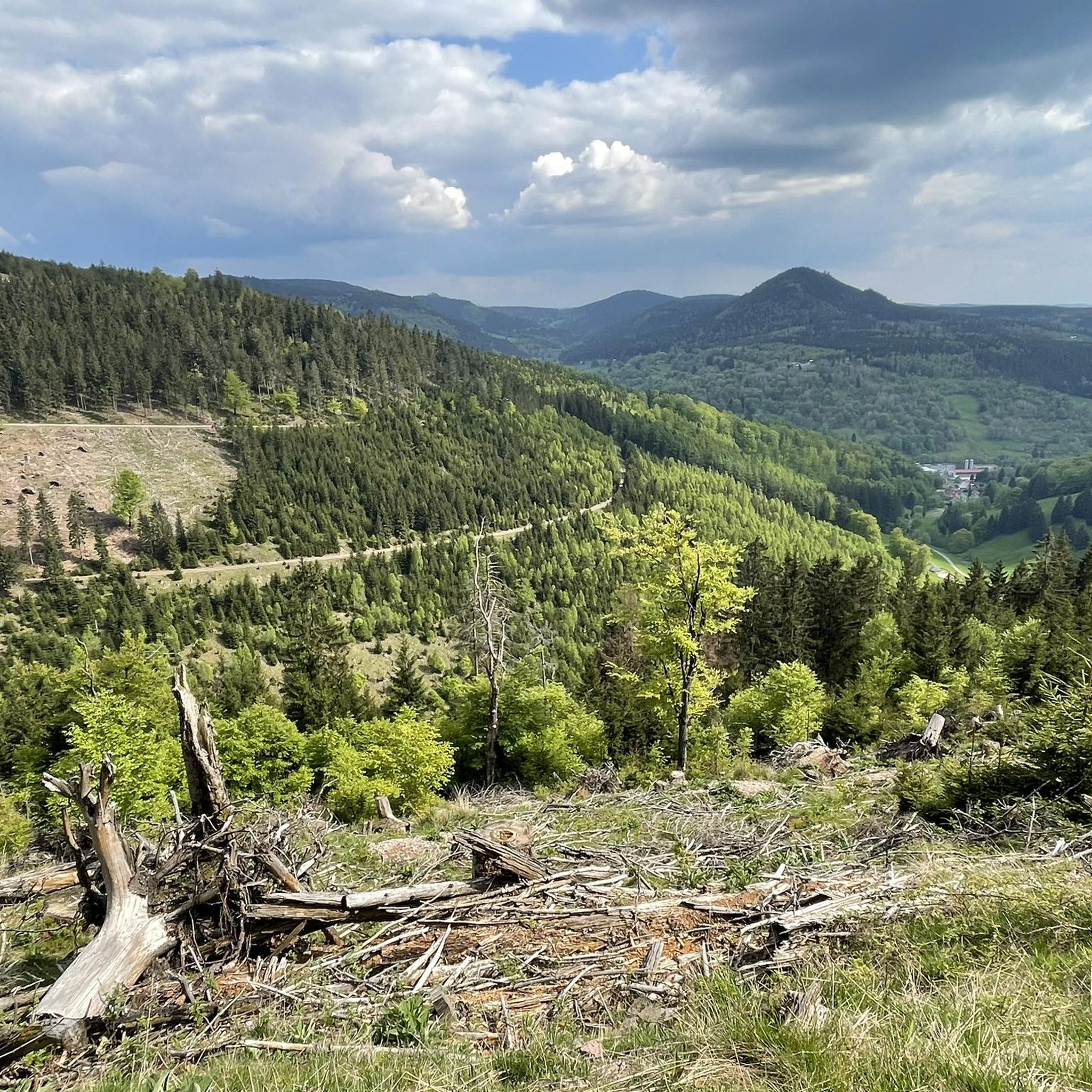
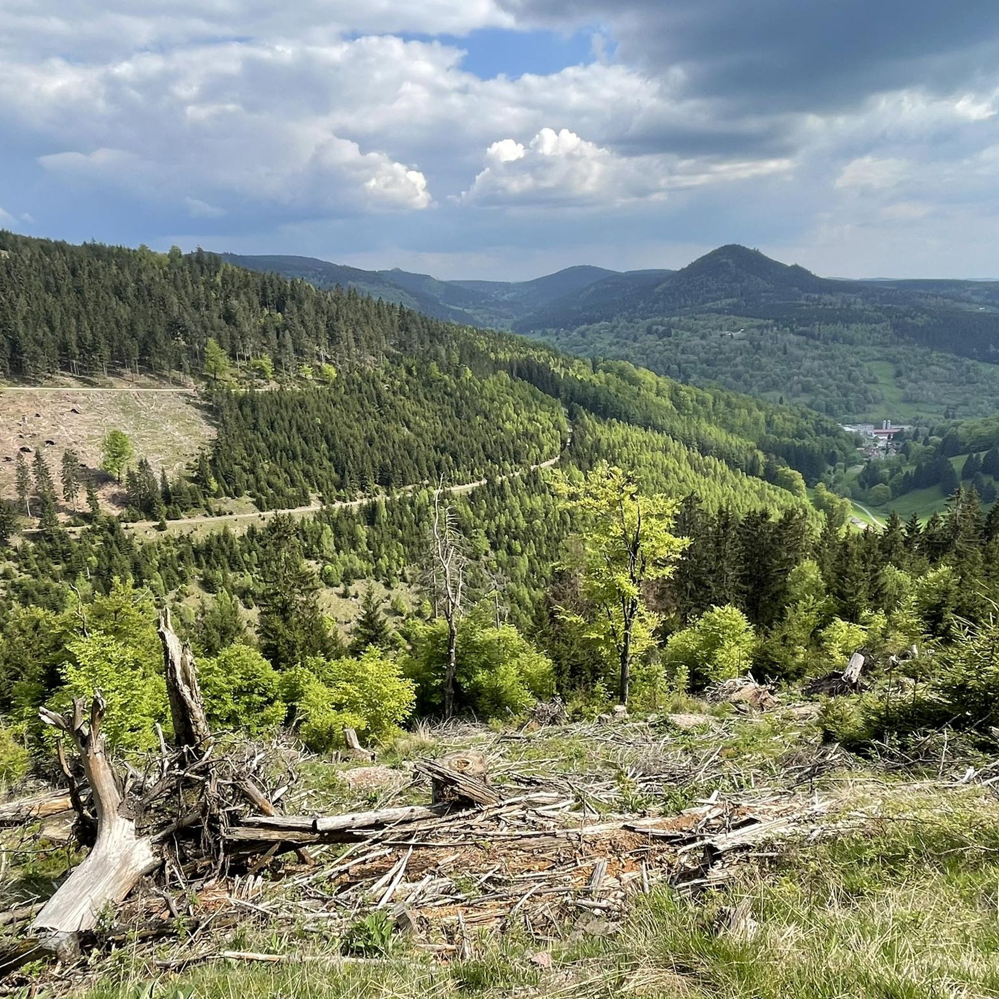
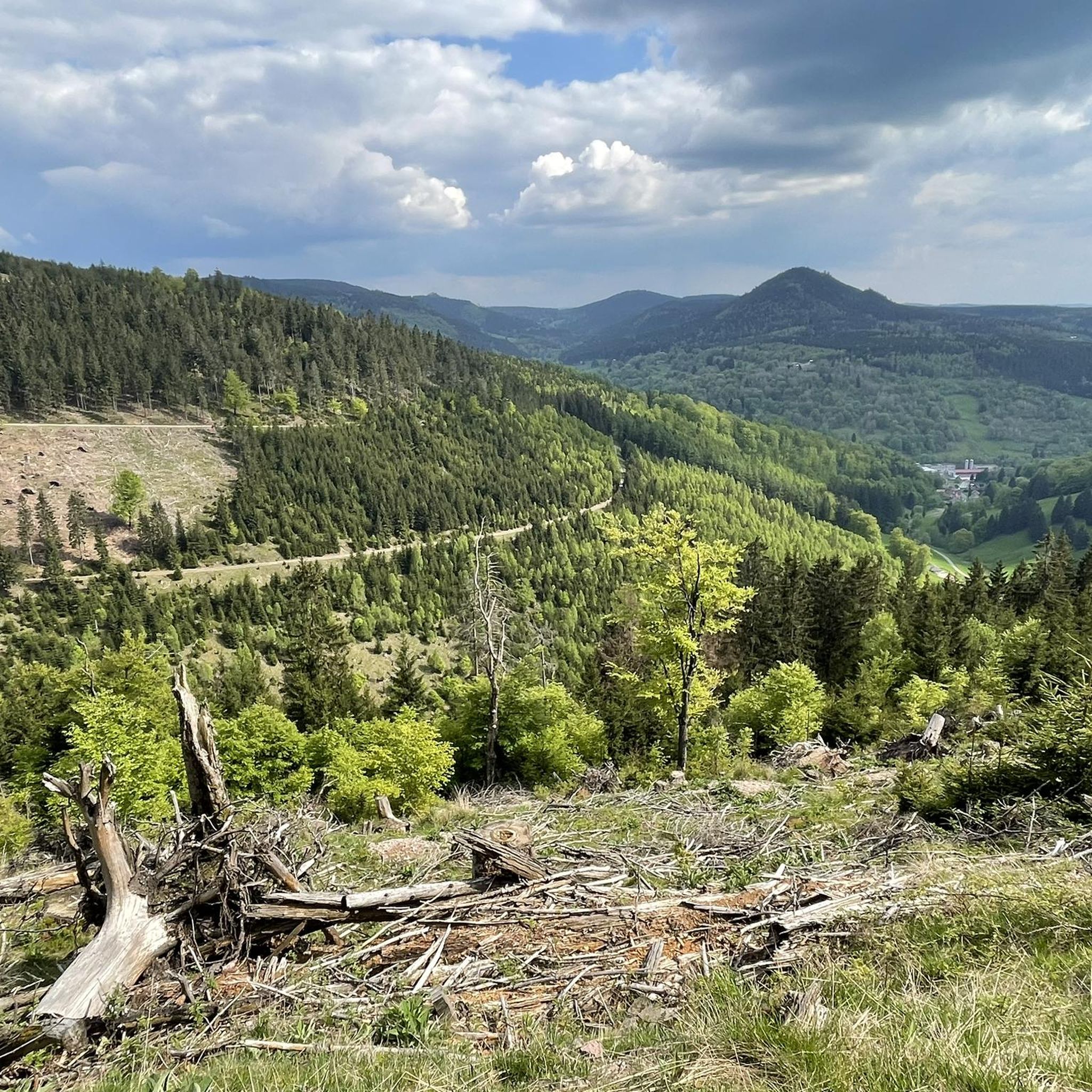
Road cycling routes around Unterschönau are situated within the Thuringian Forest, an area known for its diverse landscapes and extensive cycling infrastructure. The region features dense forests, rolling hills, and steep valleys, providing varied terrain for road cyclists. Routes often include gentle inclines, challenging climbs, and leisurely descents, with many paths being well-developed and mostly asphalted. This environment offers a range of experiences from river valley rides to routes connecting historic towns.
Best road cycling routes around Unterschönau
- The most…
Last updated: July 9, 2026
5.0
(4)
19
riders
Hard road ride. Very good fitness required. Some segments of this route may be unpaved and difficult to ride.
4.0
(2)
15
riders
Moderate road ride. Good fitness required. Mostly well-paved surfaces and easy to ride.

Sign up for free
5.0
(1)
18
riders
49.5km
02:23
640m
640m
Moderate road ride. Good fitness required. Some segments of this route may be unpaved and difficult to ride.
5.0
(1)
10
riders
41.3km
02:19
830m
830m
Moderate road ride. Good fitness required. Mostly well-paved surfaces and easy to ride.
13
riders
24.4km
01:09
320m
320m
Moderate road ride. Good fitness required. Mostly well-paved surfaces and easy to ride.
Get access to more routes and recommendations from other explorers.
Sign up for free
Already have an account?
Our route recommendations are based on thousands of hikes, rides, and runs completed by other people on komoot.
Start today with a free account
Your next adventure awaits.
Login or Signup


Tips from the Community

Road from Christes to Breitenbach. Here you can let it rip.
0
0

Unfortunately closed for several years now
0
0

Comfortable pass ride with moderate gradients.
0
0
Comfortable pass ride, the gradient is kept well within limits.
0
0


highly recommended, a really beautiful museum.
1
0
Frequently Asked Questions
How many road cycling routes are available around Unterschönau?
There are nearly 90 road cycling routes around Unterschönau, offering a wide range of experiences for different skill levels. These routes traverse the diverse landscapes of the Thuringian Forest, featuring dense forests, rolling hills, and river valleys.
What kind of terrain can I expect on road cycling routes in Unterschönau?
Road cycling routes in Unterschönau and the surrounding Thuringian Forest feature varied terrain. You can expect a mix of gentle inclines, challenging climbs, and leisurely descents. Many paths are well-developed and mostly asphalted, making them suitable for road bikes, though some routes in the broader Thuringian Forest might include short unpaved segments.
Are there easy road cycling routes suitable for beginners in Unterschönau?
Yes, Unterschönau offers several easier road cycling options. There are 9 routes specifically categorized as easy, providing a gentler introduction to the region's beautiful scenery. These routes are ideal for those looking for a less strenuous ride.
What are some challenging road cycling routes for experienced cyclists?
For experienced cyclists seeking a challenge, Unterschönau has 34 difficult road cycling routes. One such demanding route is the View of Hoher Stein – Ski lift at Bikepark Oberhof loop from Steinbach-Hallenberg, which covers 52.5 km with significant elevation gain through the Thuringian Forest.
Are there any family-friendly road cycling options in the Unterschönau area?
While many routes in the Thuringian Forest are well-suited for various abilities, for family-friendly options, look for routes with less elevation gain and mostly paved surfaces. The region's extensive network often includes paths along river valleys, which tend to be flatter and more accessible. The circular trail around the Tambach-Dietharz Reservoir Inflow, though not exclusively a road cycling route, offers a scenic and manageable 6 km path suitable for families.
What are the best times of year for road cycling around Unterschönau?
The best time for road cycling in Unterschönau is typically from spring through autumn. During these seasons, the weather is generally milder, and the natural beauty of the Thuringian Forest is at its peak. Spring offers lush greenery, while autumn provides stunning foliage. Always check local weather conditions before heading out.
Are there any scenic viewpoints or natural attractions along the road cycling routes?
Yes, the Thuringian Forest offers numerous scenic viewpoints and natural attractions. Along your rides, you might encounter highlights such as the Ebertswiese Mountain Meadow, known for its enchanting flora and mountain lake, or the Ruppberg Summit, which offers panoramic views. The Shelter "Stein 16" and Thuringian Hut also provide pleasant resting spots amidst the natural beauty.
Are there circular road cycling routes available near Unterschönau?
Yes, many road cycling routes around Unterschönau are designed as loops, allowing you to start and finish at the same point. For example, the Ruppberg South Ascent – Knüllfeld Ski and Hiking Area loop from Steinbach-Hallenberg is a popular moderate circular path, offering varied terrain and forest views.
Where can I find parking for road cycling trails in Unterschönau?
While specific parking areas for each trail are not detailed, many routes originate from towns like Steinbach-Hallenberg or Oberschönau. These towns typically offer public parking facilities suitable for accessing the surrounding cycling network. It's advisable to check local signage upon arrival for designated parking spots.
What do other road cyclists say about the routes in Unterschönau?
The road cycling routes around Unterschönau are highly regarded by the komoot community, with an average rating of 4.7 stars from over 130 reviews. More than 2,500 road cyclists have explored the area, often praising the diverse terrain, well-maintained paths, and the stunning natural beauty of the Thuringian Forest.
Are there any cafes or places to rest along the road cycling routes?
The Thuringian Forest region, including areas around Unterschönau, is generally well-equipped with amenities for visitors. You can often find cafes, restaurants, and huts in the towns and villages along the routes, or at popular viewpoints. For instance, the Sattelbach Forester's Lodge is a restaurant that could serve as a convenient stop.
Can I access Unterschönau and its cycling routes using public transport?
Unterschönau is situated within the Thuringian Forest, a well-developed region. Public transport options, such as regional buses, connect smaller towns and villages. While direct access to every trail by public transport might vary, it is generally possible to reach the broader area and then cycle to your desired starting point. Checking local bus schedules for connections to Unterschönau or nearby larger towns like Steinbach-Hallenberg is recommended.
Are there any longer road cycling routes, for example, around 50 km, in the area?
Yes, there are several longer road cycling routes around Unterschönau. For instance, the View of Hoher Stein – View of the ski jump loop from Steinbach-Hallenberg is a moderate 49.4 km trail that takes you through forested areas, offering a substantial ride for those looking for longer distances.
Most popular attractions around Unterschönau

Get inspired with the komoot mobile app


Explore more
Browse the best Road cycling routes in other regions.
