The best walks and hikes around Unterschönau
4.6
(15644)
56,701
hikers
1,011
hikes
Hiking trails around Unterschönau, located on the southern slopes of the Thuringian Forest, traverse a landscape characterized by dense woodlands and clear mountain streams. The region is situated on a high plateau, offering varied terrain for outdoor activities. Natural features like the Ebertswiese Mountain Meadow and the Tambach-Dietharz Reservoir inflow contribute to the area's diverse hiking opportunities. These natural features and the extensive trail network make Unterschönau Thuringia popular for hikers seeking varied terrain.
Best hiking trails around Unterschönau
- The…
Last updated: June 26, 2026
4.8
(180)
630
hikers
14.8km
04:24
430m
430m
Moderate hike. Good fitness required. Mostly accessible paths. Sure-footedness required.
4.8
(163)
514
hikers
10.5km
02:51
150m
150m
Moderate hike. Good fitness required. Easily-accessible paths. Suitable for all skill levels.

Sign up for free
4.8
(64)
226
hikers
7.59km
02:15
200m
200m
Moderate hike. Good fitness required. Mostly accessible paths. Sure-footedness required.
4.8
(63)
236
hikers
11.0km
03:20
340m
340m
Moderate hike. Good fitness required. Mostly accessible paths. Sure-footedness required.
4.9
(50)
139
hikers
Moderate hike. Good fitness required. Easily-accessible paths. Suitable for all skill levels.
Get access to more routes and recommendations from other explorers.
Sign up for free
Already have an account?
Our route recommendations are based on thousands of hikes, rides, and runs completed by other people on komoot.
Start today with a free account
Your next adventure awaits.
Login or Signup


Tips from the Community

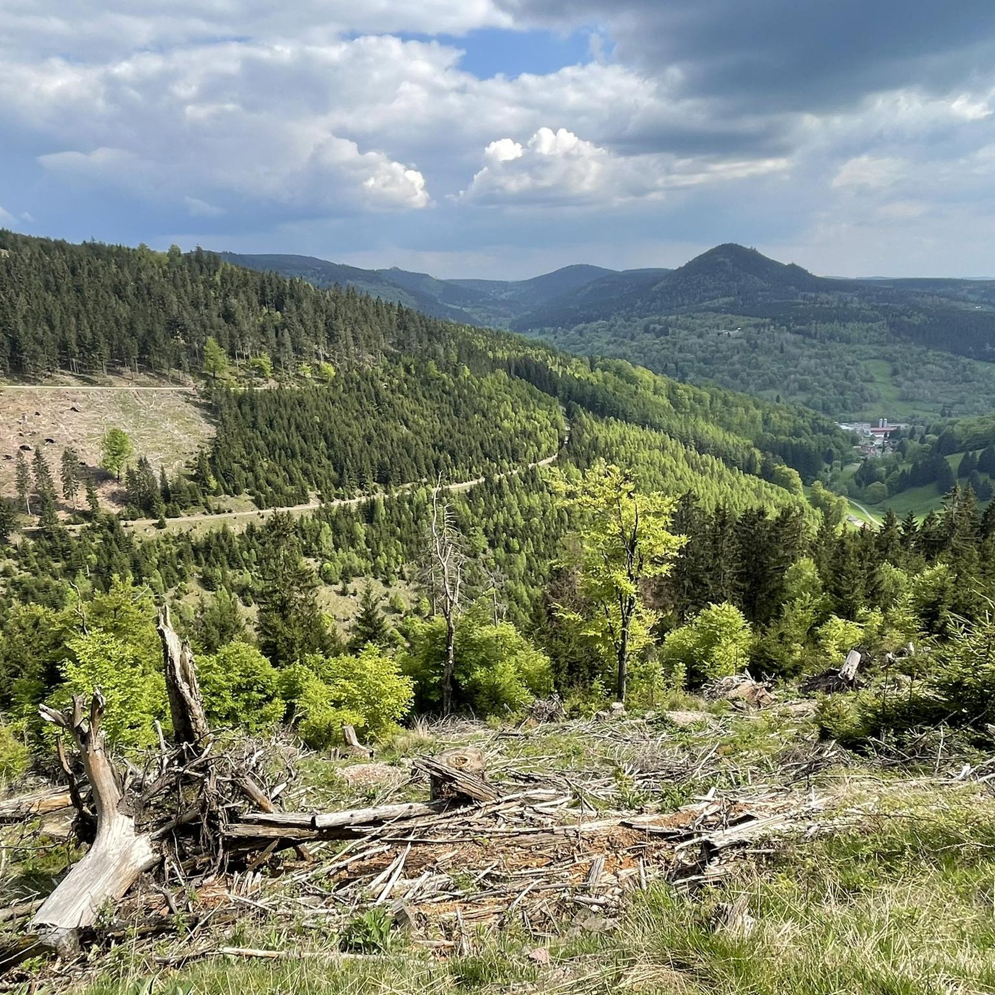
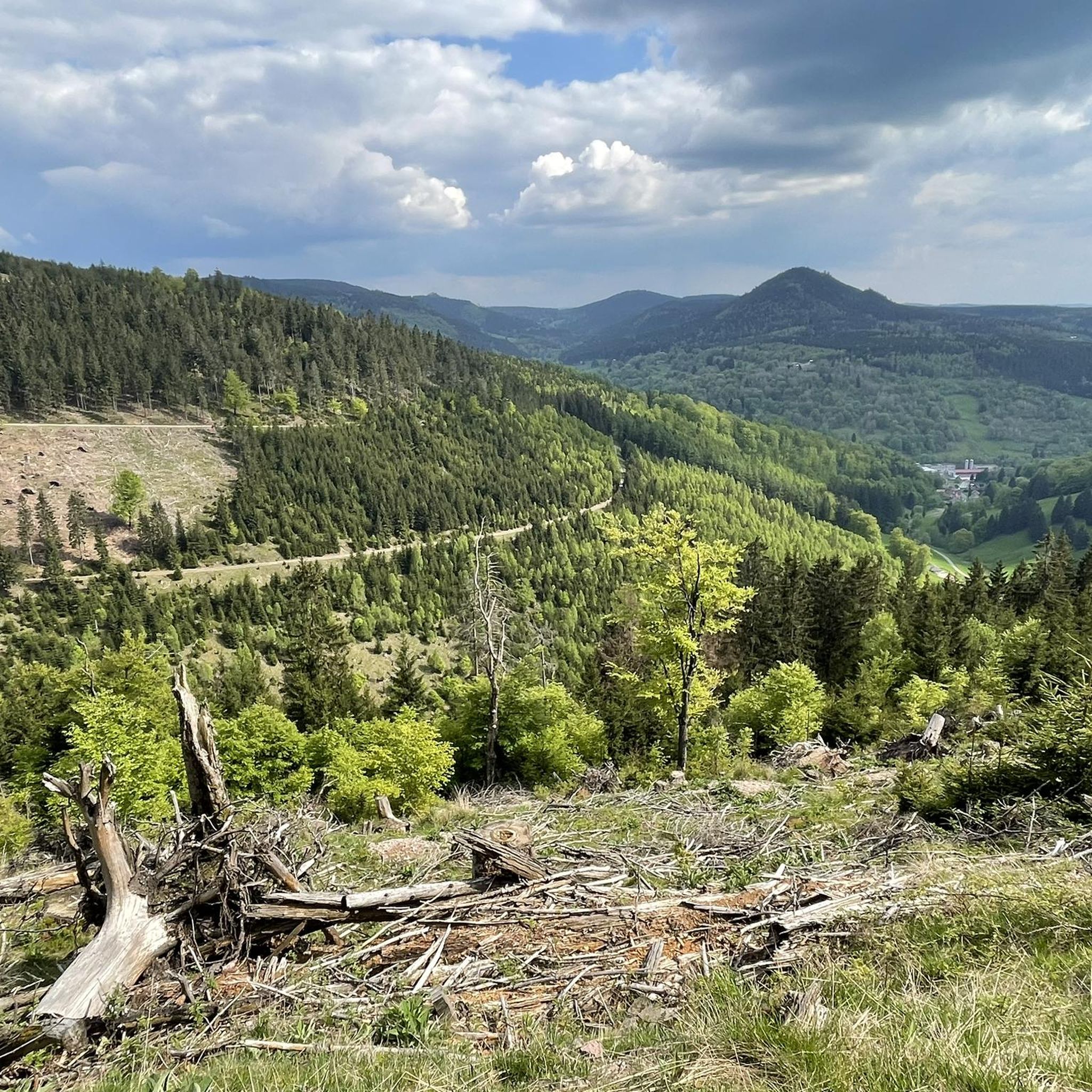
Beautiful hut with a great view of the Fuhrmannswiese and Hermannsberg
0
0


A striking eye-catcher, the West Ascent is not for the inexperienced.
2
0
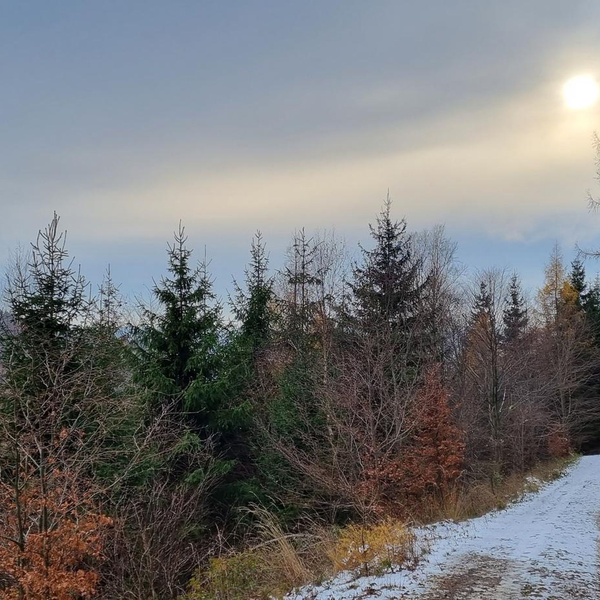
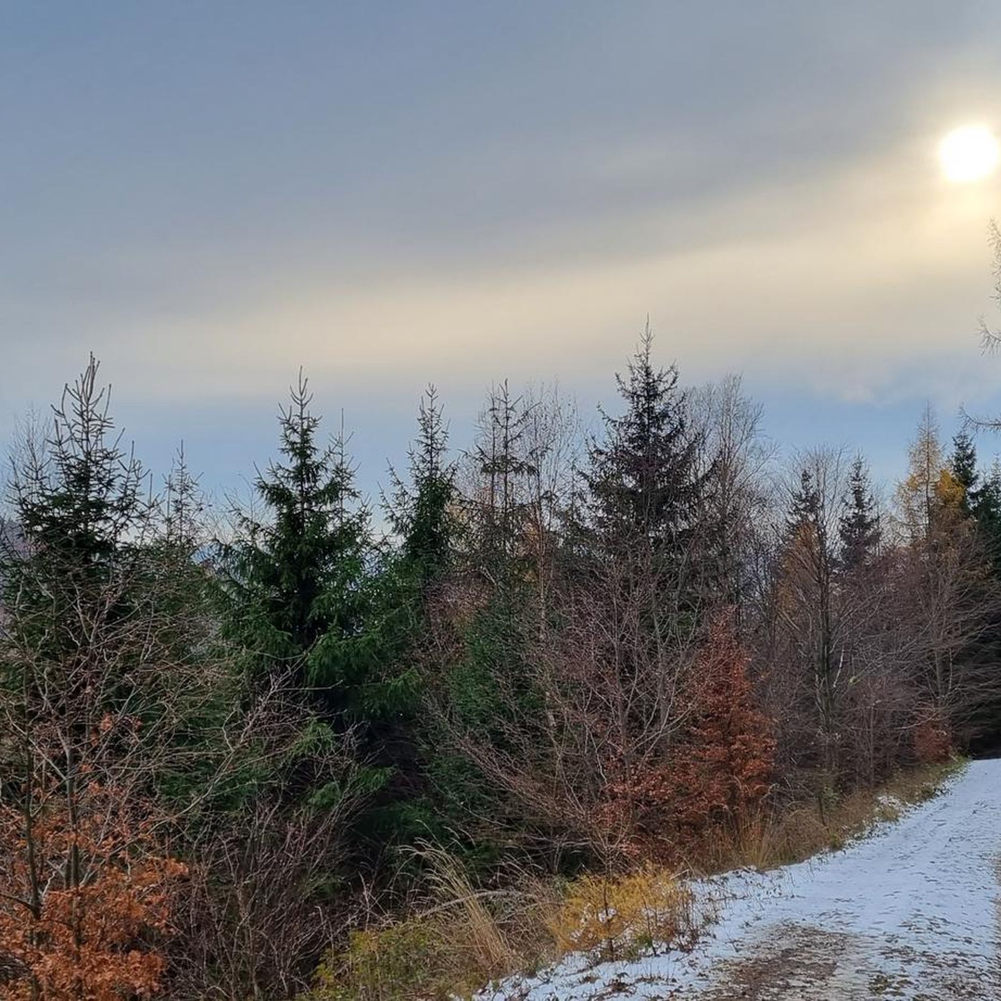
It even had a stamp station, and rightly so, even though we didn't have a view. But it was a winter wonderland.
5
0
There is plenty to discover all around, and the views are amazing.
0
0

Great rest area with plenty of seating and a small shelter.
0
0

Hikers will find a stamp station at the fountain, and beer drinkers will even find a bottle opener on the bench at the rest area.
0
0
Frequently Asked Questions
How many hiking trails are available around Unterschönau?
Unterschönau, nestled in the Thuringian Forest, offers an extensive network of over 1000 hiking routes. These trails cater to various preferences, with nearly 500 easy routes, over 400 moderate options, and close to 100 challenging paths for experienced hikers.
What kind of terrain can I expect on hikes in Unterschönau?
The terrain around Unterschönau is diverse, characterized by dense woodlands, clear mountain streams, and a high plateau setting on the southern slopes of the Thuringian Forest. You'll find a mix of forest paths, open meadows, and ascents offering varied views.
Are there any family-friendly hiking options in Unterschönau?
Yes, Unterschönau offers many family-friendly options. A notable one is the circular trail around the Tambach-Dietharz Reservoir Inflow, which spans approximately 6 kilometers and is set amidst beautiful scenery. The region also has numerous easy routes suitable for families.
Can I bring my dog on the hiking trails in Unterschönau?
Many trails in the Unterschönau region are dog-friendly, allowing you to explore the Thuringian Forest with your canine companion. It's always recommended to keep dogs on a leash, especially in nature reserves or near wildlife, and to check specific trail regulations if available.
What natural landmarks or features can I discover while hiking?
Hikers can explore several natural highlights. The Ebertswiese Mountain Meadow is a natural monument known for its flora and a scenic mountain lake. The Violet Fountain offers crystal-clear spring water and a peaceful resting spot. You can also find the Tambach-Dietharz Reservoir Inflow with its idyllic dam.
Are there any circular hiking routes in the area?
Yes, the region around Unterschönau is well-suited for circular hikes. For example, the Hohe Möst Viewpoint – View from Hoher Stein loop from Oberschönau is a moderate 14.7 km route offering expansive views. Another option is the View of Knüllfeld – View from the Sonnenplatte loop from Bermbach, a 7.6 km moderate trail.
What do other hikers say about the trails in Unterschönau?
The hiking trails in Unterschönau are highly regarded by the komoot community, holding an average rating of 4.6 out of 5 stars from over 14,000 reviews. Hikers often praise the well-maintained paths, the diverse natural beauty, and the peaceful atmosphere of the Thuringian Forest.
Are there any historical sites or castles to visit near the hiking trails?
Yes, the region blends natural beauty with historical interest. You can visit the Hallenburg Castle Ruins, which is also part of the Hallenburg Castle Ruins – Großer Hermannsberg loop from Steinbach-Hallenberg. Other nearby historical sites include Wilhelmsburg Castle, Schmalkalden and Käfernburg Castle Ruins.
Where can I see wildlife while hiking in Unterschönau?
North of the village, on the Lautenberg, there is a seven-hectare wild animal enclosure. A three-kilometer hiking trail encircles it, offering opportunities to observe red deer, fallow deer, and mouflons in their natural-like habitat.
Are there any challenging hikes for experienced trekkers?
For those seeking a challenge, Unterschönau offers several difficult routes. The Großer Hermannsberg – View of Hoher Stein loop from Bermbach is a difficult 11.2 km path featuring ascents to Großer Hermannsberg and scenic outlooks.
What is the best time of year to go hiking in Unterschönau?
The Thuringian Forest around Unterschönau is beautiful year-round. Spring brings blooming flora, summer offers lush green landscapes, and autumn transforms the forests with vibrant colors. Winter hiking is also possible, with trails often covered in snow, providing a serene experience.
Are there any viewpoints offering panoramic vistas?
Yes, several trails lead to impressive viewpoints. The Hohe Möst Viewpoint – View from Hoher Stein loop from Oberschönau is known for its expansive views from the Hohe Möst Viewpoint. Another route, the Großer Hermannsberg – Sunny Hermann loop from Steinbach-Hallenberg, also offers scenic outlooks.
Most popular attractions around Unterschönau

Get inspired with the komoot mobile app


Explore more
Browse the best Hikes in other regions.
