The best running trails around Coreglia Ligure
4.4
(75)
6,020
runners
274
runs
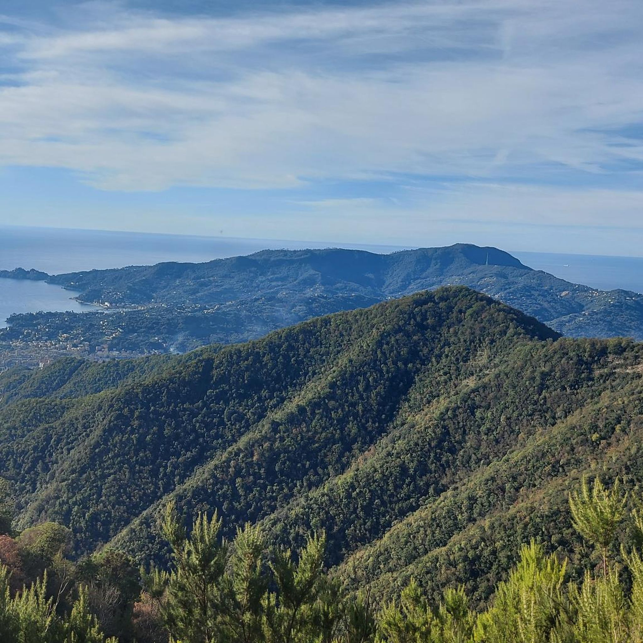
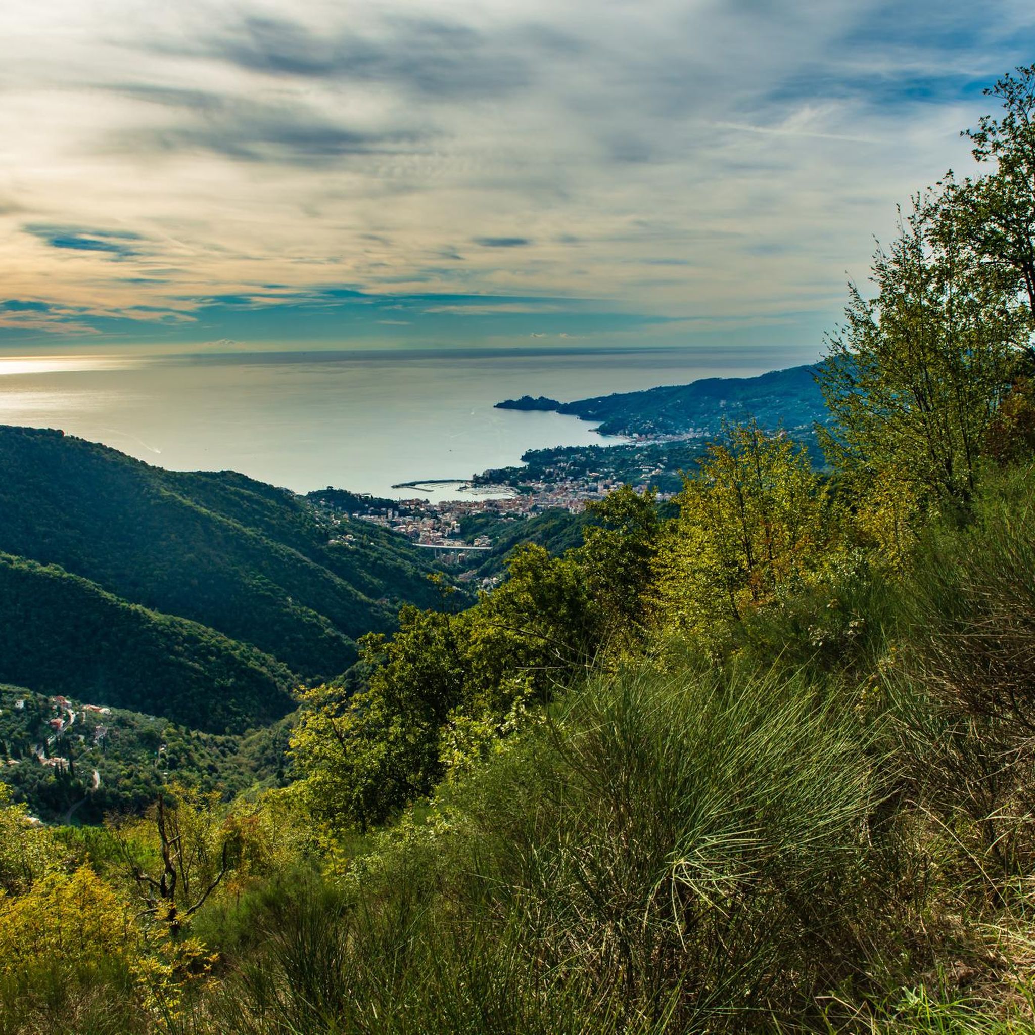
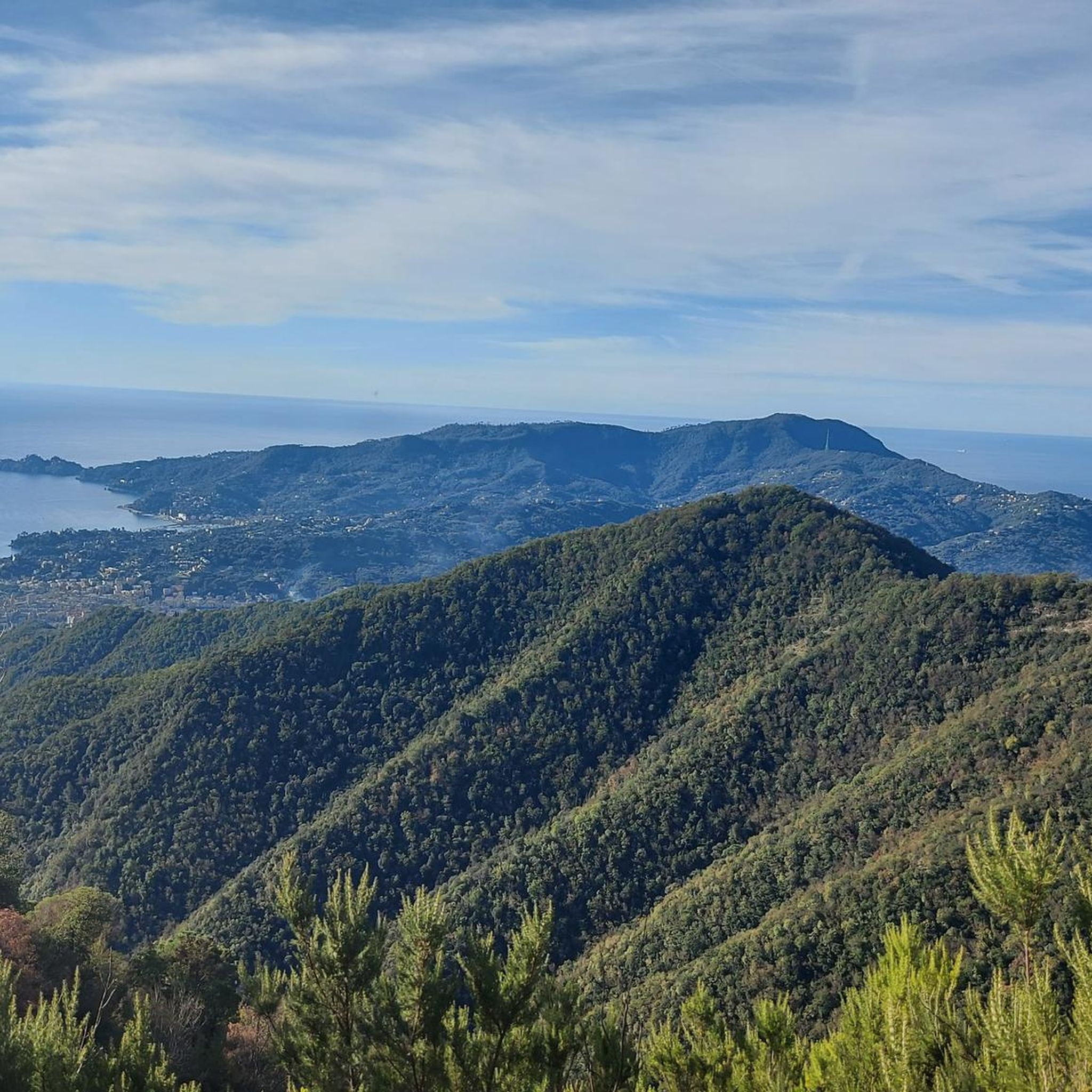
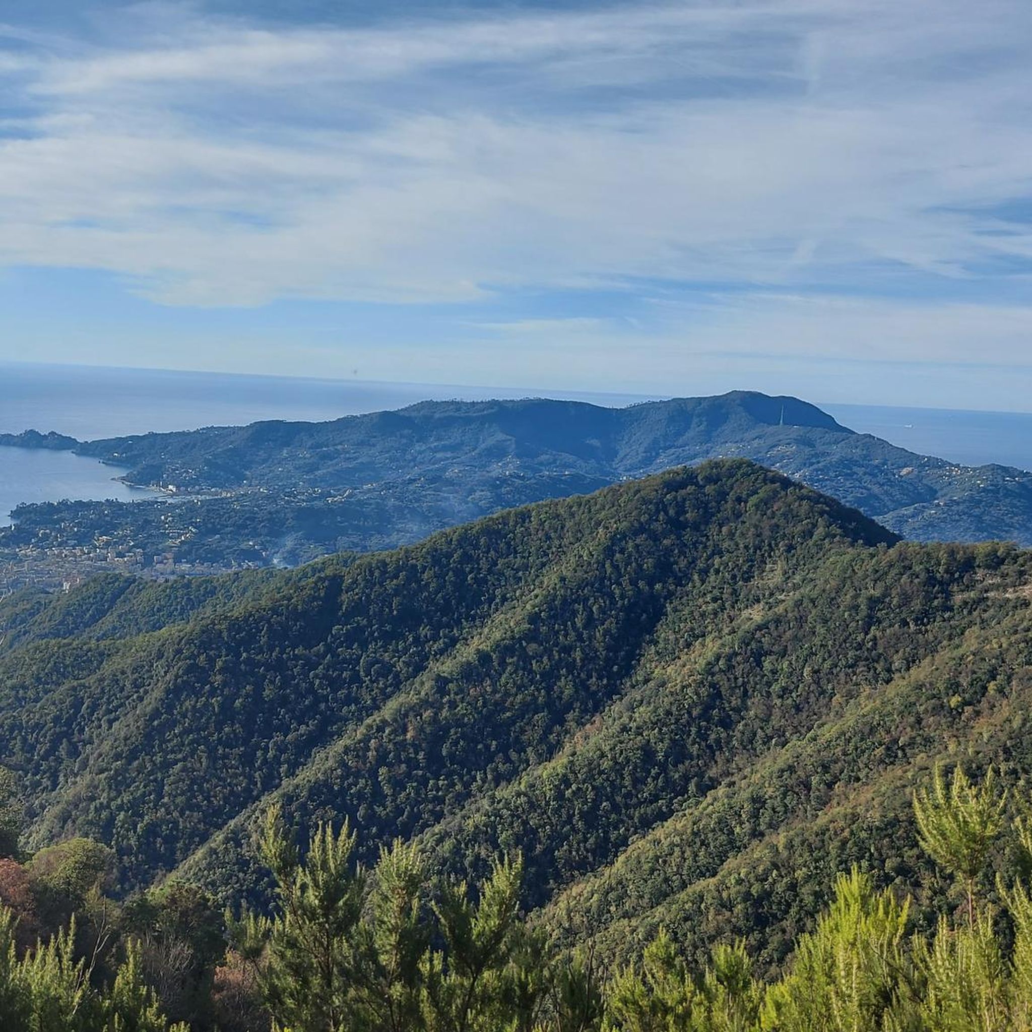
Jogging routes around Coreglia Ligure traverse a diverse landscape in the Metropolitan City of Genoa, Italy. The region is characterized by mountainous terrain at the base of Mount Pegge, offering varying elevations and panoramic views. Situated on a ridge separating the Fontanabuona valley from Rapallo, it provides access to both challenging trails and paths with proximity to the Ligurian coast. The area also features established ancient transit routes and cycle paths suitable for running.
Best jogging routes around Coreglia Ligure
…Last updated: June 29, 2026
5.0
(2)
37
runners
22.3km
03:23
1,000m
1,000m
Hard run. Very good fitness required. Sure-footedness, sturdy shoes and alpine experience required.
11
runners
Moderate run. Good fitness required. Mostly paved surfaces. Suitable for all skill levels.

Sign up for free
24
runners
26.9km
04:19
1,340m
1,340m
Hard run. Very good fitness required. Sure-footedness, sturdy shoes and alpine experience required.
9
runners
6.37km
00:54
280m
280m
Moderate run. Good fitness required. Mostly paved surfaces. Suitable for all skill levels.
8
runners
6.37km
00:55
290m
280m
Moderate run. Good fitness required. Mostly paved surfaces. Suitable for all skill levels.
Get access to more routes and recommendations from other explorers.
Sign up for free
Already have an account?
Our route recommendations are based on thousands of hikes, rides, and runs completed by other people on komoot.
Start today with a free account
Your next adventure awaits.
Login or Signup
Tips from the Community

I took Via Zuccarello wrong, but the paths stopped in the olive trees. Obliged to go back to Villa di Scoglio (again I leave the asphalted paths (red square), which stop in the woods for nothing, so with Komoot I went up 100m into the woods to reach the road, thanks Komoot. Next to Casereggio private road 🤷🏼♂️ 🤫 Then go back around the ring following the 3 red balls at the crossroads for Monte Ramecetto/Salita Monte Bello and the path to Costa di Soglio.
0
0

Cicagna bridge like Monument you have fallen for victory
1
0
Slate cycle path along the spendid blackboard river
0
0

Excellent cycle path suitable for everyone
0
0

The Ponte della Vittoria is located in the municipality of Cicagna and connects the two nuclei of the town divided by the Lavagna stream. It was built in 1937 in memory of the fallen during the First World War and in ancient times it could only be crossed by those who had taken part in the Great War as a sign of respect. It was later opened to normal circulation.
2
0

Going up from Croce di Orero, follow the signs for Ramaceto. At the top there is a small chapel and a breathtaking view
0
0
Trail of the Alta Via dei Monti Liguri that leads to the summit of Monte Ramaceto on the ridge. A real watershed from where you can admire the sea (from Sestri Levante to Portofino) on one side and the Val d'Aveto on the other
0
0
Splendid panorama at 1350 meters above sea level.
0
0
Frequently Asked Questions
How many running routes are available around Coreglia Ligure?
There are over 230 running routes in the Coreglia Ligure area, offering a wide variety of options for joggers. These include 13 easy routes, 88 moderate routes, and 130 difficult routes, catering to different fitness levels and preferences.
What kind of terrain can I expect on jogging paths around Coreglia Ligure?
Jogging routes in Coreglia Ligure traverse a diverse landscape. You can expect mountainous terrain at the base of Mount Pegge, offering varying elevations and panoramic views. The region also features scenic valleys and established cycle paths, such as the 'slate cycle path' that crosses the Fontanabuona valley, providing potentially flatter and well-maintained surfaces.
Are there any circular running routes in Coreglia Ligure?
Yes, many running routes around Coreglia Ligure are designed as loops. For example, the Passo della Crocetta – Passo San Quirico loop from Coreglia Ligure is a popular 10.1-mile (16.2 km) option, and the Ridge of Monte Ramaceto loop from Coreglia Ligure offers a challenging 17.9-mile (28.8 km) experience with extensive ridge running.
What do other runners enjoy most about the trails in Coreglia Ligure?
The running trails in Coreglia Ligure are highly rated by the komoot community, with an average score of 4.3 stars from over 80 reviews. Runners often praise the varied terrain, from challenging mountain paths to scenic valley routes, and the breathtaking views of the Ligurian landscape.
Are there family-friendly jogging options in Coreglia Ligure?
While many routes in Coreglia Ligure feature significant elevation, there are easier options available. Look for routes categorized as 'easy' or 'moderate' on komoot, which might include sections of the cycle paths or less strenuous loops. Always check the route details for distance and elevation to ensure it's suitable for your family's fitness level.
Can I bring my dog on the running trails in Coreglia Ligure?
Generally, dogs are welcome on many outdoor trails in Italy, but it's always best to keep them on a leash, especially in areas with wildlife or near private property. Be mindful of other trail users and ensure your dog is well-behaved. Always carry water for your pet, particularly on longer or more exposed routes.
What natural attractions or landmarks can I see while jogging around Coreglia Ligure?
The region offers stunning natural beauty. You might encounter picturesque waterfalls like Cascata del Serpente and Cascata della Ravezza, or the serene Lago della Tina. The trails also lead to various viewpoints, offering panoramic vistas of the mountainous terrain and the Fontanabuona valley. You could also explore areas near Margherita Mountain Hut – Mount Pegge or the Summit of Monte Caucaso for impressive views.
Is parking available near the running routes in Coreglia Ligure?
Parking availability varies depending on the specific trailhead. In Coreglia Ligure and surrounding villages, you can often find public parking areas. For routes starting from more remote locations, roadside parking might be an option. It's advisable to check the starting point of your chosen route on komoot for more specific parking information.
What is the best time of year to go running in Coreglia Ligure?
The Ligurian climate is generally mild, making running enjoyable for much of the year. Spring (April-June) and autumn (September-October) offer pleasant temperatures and vibrant scenery. Summer can be warm, especially at lower elevations, so early morning or late afternoon runs are recommended. Winter can be cooler, but many trails remain accessible, particularly those not at high altitudes.
Are there any easy running routes for beginners in Coreglia Ligure?
Yes, Coreglia Ligure offers 13 easy running routes suitable for beginners or those looking for a less strenuous run. These routes typically have less elevation gain and cover shorter distances. An example is the Running loop from Bivio Vallefredda, a moderate 4.0-mile (6.4 km) trail that can be completed in under an hour.
How can I reach the running trails using public transport?
Public transport options to reach trailheads in Coreglia Ligure might be limited, especially for more remote starting points. Local bus services connect Coreglia Ligure to larger towns in the Metropolitan City of Genoa. It's recommended to research specific bus routes and schedules in advance if you plan to rely on public transport to access the trails.
Are there any long-distance running trails for experienced runners?
Absolutely. For experienced runners seeking a challenge, Coreglia Ligure offers 130 difficult routes, including long-distance options with significant elevation gain. The Church of Sant'Ambrogio – Castello di Rapallo loop from Zoagli is a demanding 22.3 km (13.9 miles) route that provides extensive climbs and rewarding views.
Most popular routes around Coreglia Ligure
Most popular attractions around Coreglia Ligure

Get inspired with the komoot mobile app


Explore more
Browse the best Running Trails & Routes in other regions.
