The best road cycling routes around Coreglia Ligure
4.2
(991)
14,968
riders
119
rides
Road cycling routes around Coreglia Ligure navigate a landscape characterized by coastal hills and valleys, with numerous passes and ascents. The region features varied terrain, from roads winding through forested areas to routes offering views of the Ligurian Sea. Elevations can be significant, with several routes including climbs over mountain passes.
Best road cycling routes around Coreglia Ligure
- The most popular road cycling route is Forcella Pass – Chiavari Seafront loop from Zoagli, a 50.4 miles (81.1 km) trail…
Last updated: October 18, 2026
3.4
(58)
483
riders
41.4km
02:14
790m
790m
Moderate road ride. Good fitness required. Mostly well-paved surfaces and easy to ride.
4.5
(25)
460
riders
93.6km
04:55
1,660m
1,660m
Hard road ride. Very good fitness required. Mostly well-paved surfaces and easy to ride.

4.7
(13)
279
riders
106km
05:50
2,130m
2,130m
Hard road ride. Very good fitness required. Mostly well-paved surfaces and easy to ride.
3.9
(11)
152
riders
91.2km
04:46
1,600m
1,600m
Hard road ride. Very good fitness required. Mostly well-paved surfaces and easy to ride.
4.0
(6)
145
riders
81.0km
04:26
1,570m
1,570m
Hard road ride. Very good fitness required. Mostly well-paved surfaces and easy to ride.
Get access to more routes and recommendations from other explorers.
Already have an account?
Our route recommendations are based on thousands of hikes, rides, and runs completed by other people on komoot.
Start today with a free account
Your next adventure awaits.

Tips from the Community

from Valle Sturla to Val d'Aveto
0
0

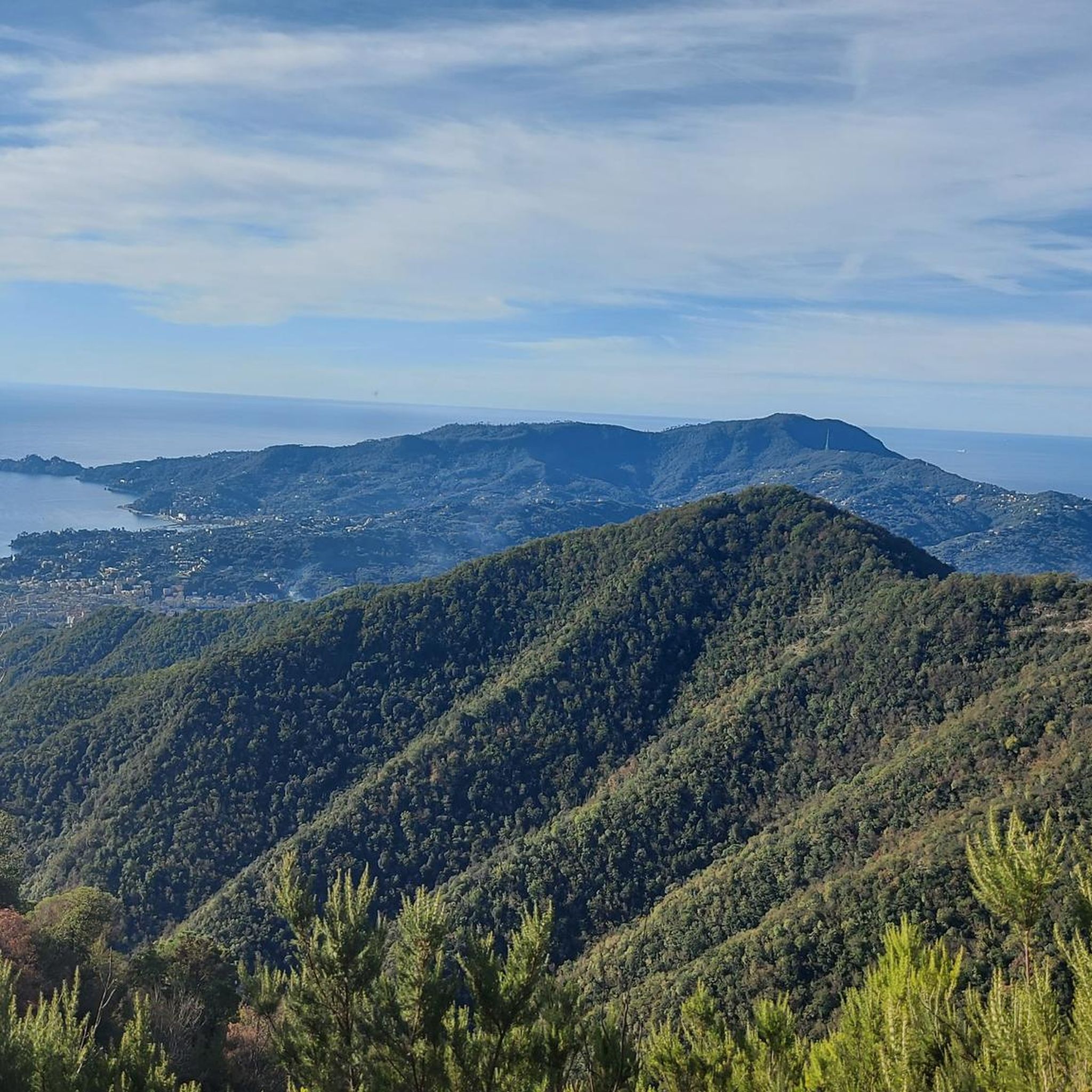
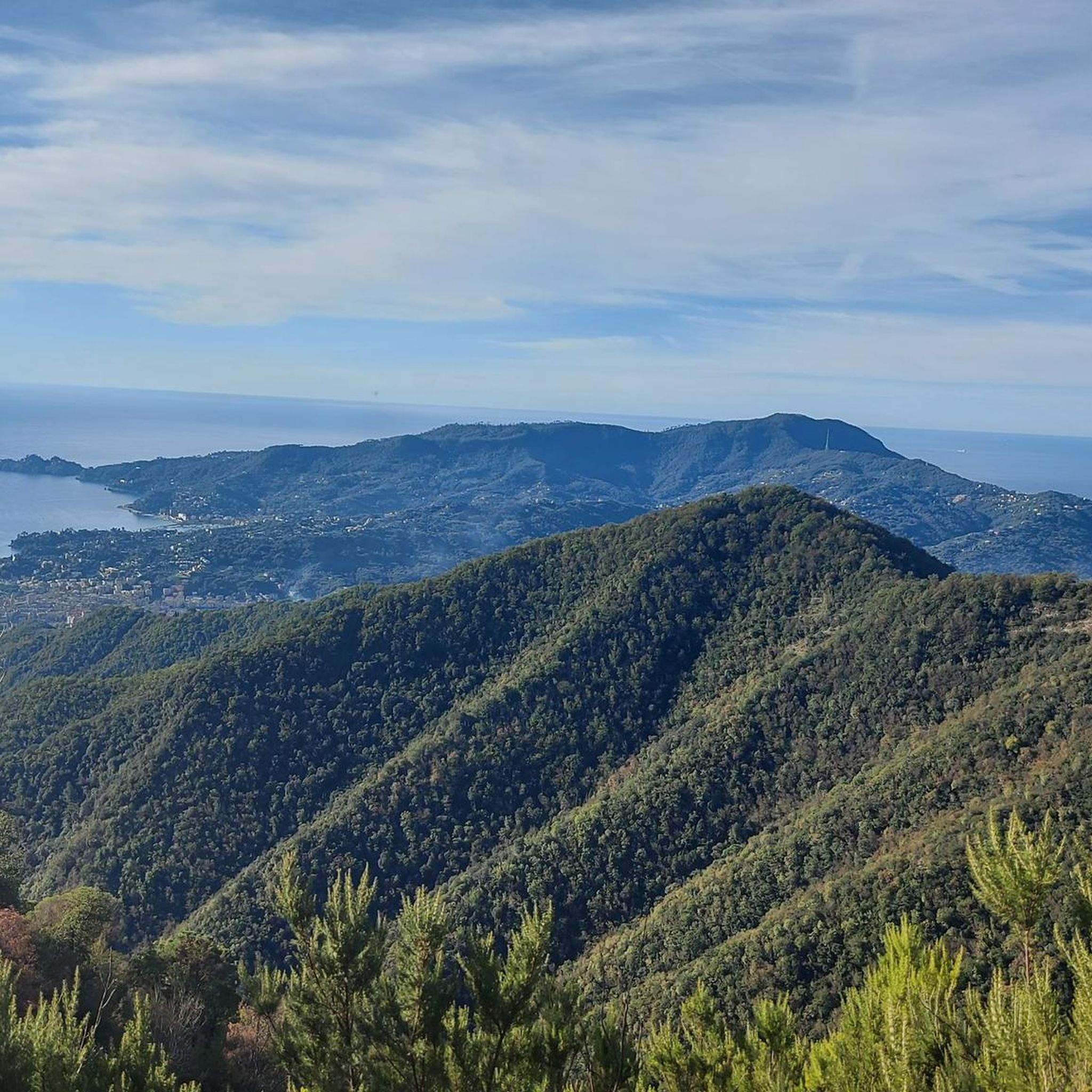
very beautiful view, but tiring to get there from both directions
0
0

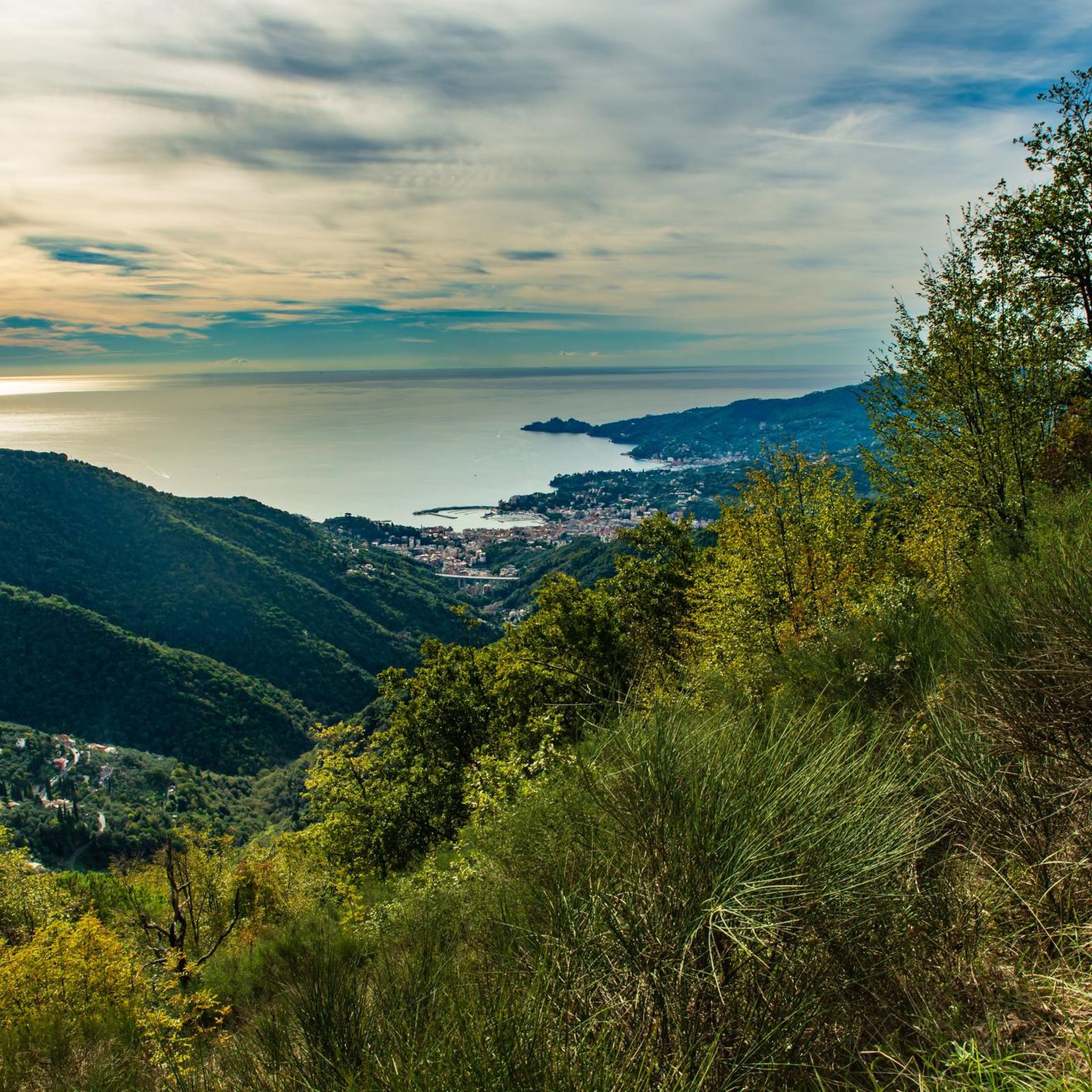
The scenic road between Lavagna and Cavi is an alternative route to the Via Aurelia that skirts the hills and offers a splendid view of the sea. Main features Route: A narrow and winding road ideal for avoiding traffic on the coastal road. Activities: It is a highly recommended stretch for road cycling and scenic walks. Elevation gain: It features a slight climb of about 50 meters and a descent of 40 meters.
0
0
Passo della Mola (or Valico della Mola) is a mountain pass at an altitude of approximately 650-655 meters, located in Liguria, between the province of La Spezia and the metropolitan city of Genoa. It connects the coastal area to the Val di Vara (municipality of Carro). Main characteristics Altitude: 650 - 655 m a.s.l. Location: Connects the area of Carro and Velva, serving as an alternative to the better-known Passo del Bracco. Road: It is traversed via the Provincial Road 50 (SP50). The road has a narrow carriageway, generally moderate gradients, but with several curves and tight hairpin bends. Panorama: On clear days, it offers a view stretching from the Maritime Alps to the Apuan Alps.
0
0

From here you can get everywhere!
0
0
..an infinite pleasure to quench your thirst here..
0
0
Frequently Asked Questions
How many road cycling routes are available around Coreglia Ligure?
There are over 100 road cycling routes in the Coreglia Ligure region, offering a wide variety of options for different skill levels and preferences. The area is known for its diverse terrain, from coastal roads to challenging mountain passes.
Are there road cycling routes suitable for beginners in Coreglia Ligure?
Yes, Coreglia Ligure offers 18 easy road cycling routes. These routes typically feature less elevation gain and shorter distances, making them ideal for those new to road cycling or looking for a more relaxed ride. While the region is known for its challenging climbs, there are plenty of options to ease into the local cycling scene.
What kind of challenging road cycling climbs can I expect around Coreglia Ligure?
Coreglia Ligure is characterized by significant elevations and numerous mountain passes, making it a prime destination for challenging road cycling. You'll find 52 difficult routes, many of which include sustained climbs over passes like Forcella Pass and Passo Pozzi del Lupo (722 m). These routes often combine demanding ascents with rewarding descents and panoramic views.
Are there any family-friendly road cycling options in Coreglia Ligure?
While many routes in Coreglia Ligure involve significant climbs, there are easier sections and routes that can be adapted for families, especially those with older children or more experienced young riders. Look for routes with lower elevation gain and less traffic, often found closer to coastal towns or within flatter valley sections. Always check the route profile for suitability.
What is the best time of year for road cycling in Coreglia Ligure?
The spring (April to June) and autumn (September to October) months generally offer the most pleasant conditions for road cycling in Coreglia Ligure. During these periods, temperatures are milder, and the scenery is vibrant. Summer can be hot, especially in July and August, so early morning or late afternoon rides are recommended if cycling during peak summer.
Are there road cycling routes that include cafes or places to stop for refreshments?
Many road cycling routes in Coreglia Ligure pass through or near charming villages and towns where you can find cafes, bars, and restaurants. Routes that traverse the valleys or follow the coastline are particularly good for finding refreshment stops. Planning your route with komoot allows you to easily identify points of interest, including places to eat and drink, along your chosen path.
Which routes offer the most scenic views of the Ligurian Sea or the surrounding landscape?
Several routes provide breathtaking views. The Forcella Pass – Chiavari Seafront loop from Zoagli combines challenging mountain pass climbing with stunning stretches along the Ligurian coastline. Another excellent option is the View of San Bernardo – Loto–San Bernardo Pass loop from Zoagli, which offers panoramic vistas as you navigate the hills above the sea.
Are there any good loop trails for road cycling around Coreglia Ligure?
Yes, loop trails are a popular feature of road cycling in Coreglia Ligure. For example, the Passo Pozzi del Lupo (722 m) – Passo di Romaggi (722 m) loop from Acqua di Sotto offers a challenging circular route through the hilly interior. Another option is the Roadbike loop from Zoagli, which provides a varied terrain experience around the town of Zoagli.
What do other road cyclists enjoy most about cycling in Coreglia Ligure?
The road cycling routes around Coreglia Ligure are highly rated by the komoot community, with an average score of 4.1 stars from over 600 reviews. Cyclists frequently praise the region's challenging mountain passes, the scenic coastal roads, and the undulating hilly terrain that provides a diverse and engaging riding experience. The combination of physical challenge and beautiful landscapes is a common highlight.
Are there any notable landmarks or attractions along the road cycling routes?
Yes, many routes will take you past or near significant landmarks. The region is dotted with mountain passes like Forcella Pass and Passo della Crocetta, which are often destinations in themselves. You might also encounter charming villages, historic churches, and stunning viewpoints offering glimpses of the Ligurian Sea or the rugged inland mountains.
Where can I find parking for road biking routes in Coreglia Ligure?
Parking is generally available in the towns and villages that serve as starting points for many routes, such as Zoagli, Acqua di Sotto, or Cicagna. Look for public parking areas, often near town centers or train stations. It's advisable to check local parking regulations and availability, especially during peak season, as some areas may have limited spaces or require payment.
Most popular routes around Coreglia Ligure
Most popular attractions around Coreglia Ligure

Get inspired with the komoot mobile app


Explore more
Browse the best Road cycling routes in other regions.
