The best walks and hikes around Thum
4.7
(554)
1,605
hikers
94
hikes
Hiking around Thum offers access to the diverse landscapes of the Erzgebirge region. The area features a mix of forested hills, notable rock formations like the Greifensteine, and scenic reservoirs such as Eibenstock. Trails often lead to viewpoints, providing perspectives over the surrounding terrain.
Best hiking trails around Thum
- The most popular hiking route is Bastei (Thum) Viewpoint – Georgsfelsen Viewpoint loop from Herold, a 6.0 miles (9.7 km) moderate trail that takes 2 hours 44 minutes to complete,…
Last updated: October 13, 2026
4.7
(62)
199
hikers
Moderate hike. Good fitness required. Easily-accessible paths. Suitable for all skill levels.
4.5
(26)
85
hikers
Easy hike. Great for any fitness level. Easily-accessible paths. Suitable for all skill levels.

4.8
(40)
102
hikers
24.1km
06:41
440m
440m
Hard hike. Very good fitness required. Easily-accessible paths. Suitable for all skill levels.
4.6
(18)
70
hikers
Easy hike. Great for any fitness level. Easily-accessible paths. Suitable for all skill levels.
4.5
(11)
38
hikers
14.3km
03:57
250m
250m
Moderate hike. Good fitness required. Easily-accessible paths. Suitable for all skill levels.
Get access to more routes and recommendations from other explorers.
Already have an account?
Our route recommendations are based on thousands of hikes, rides, and runs completed by other people on komoot.
Start today with a free account
Your next adventure awaits.


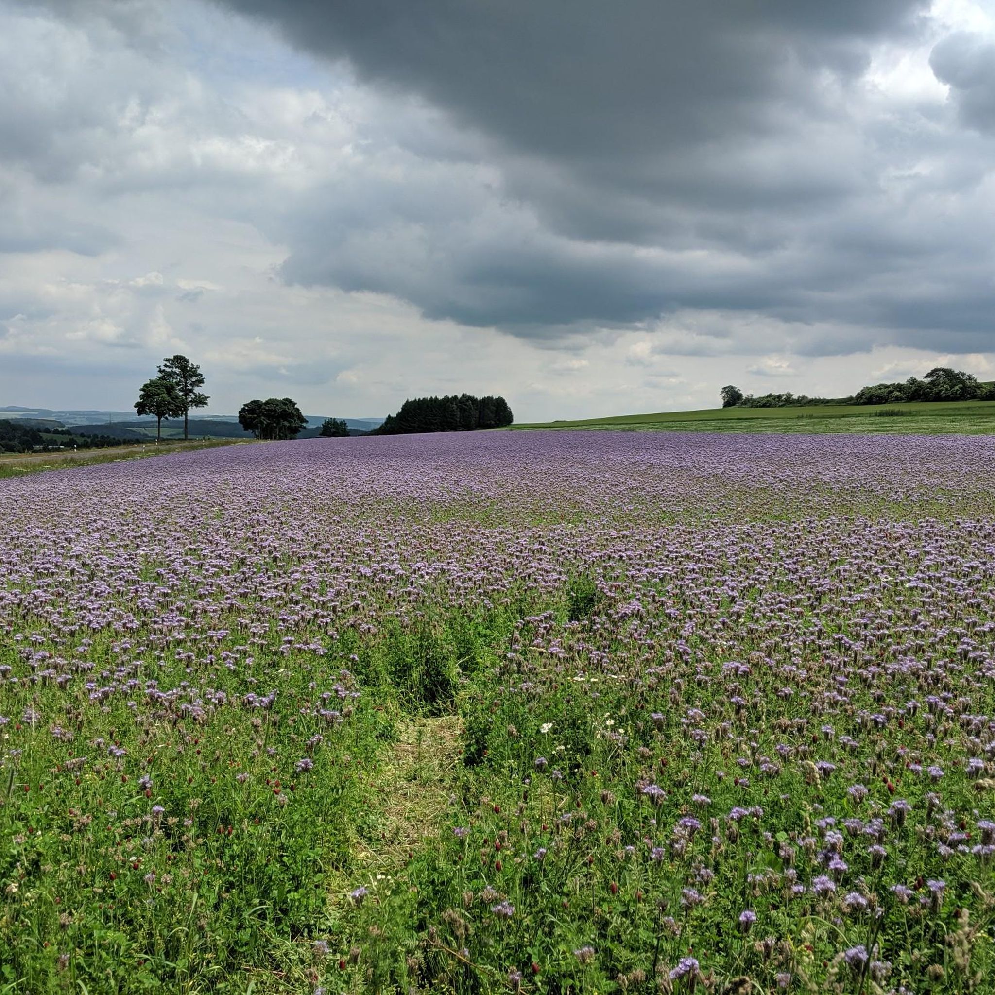
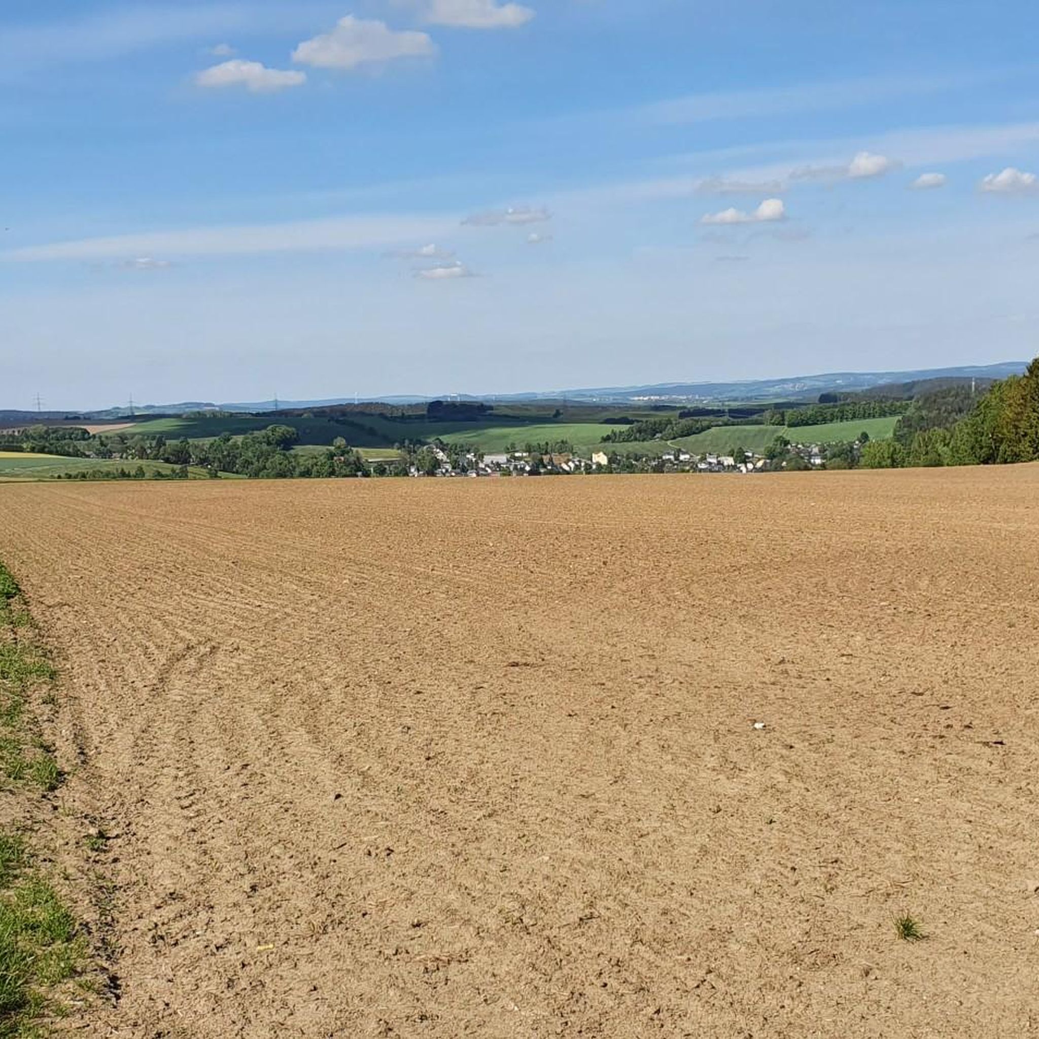
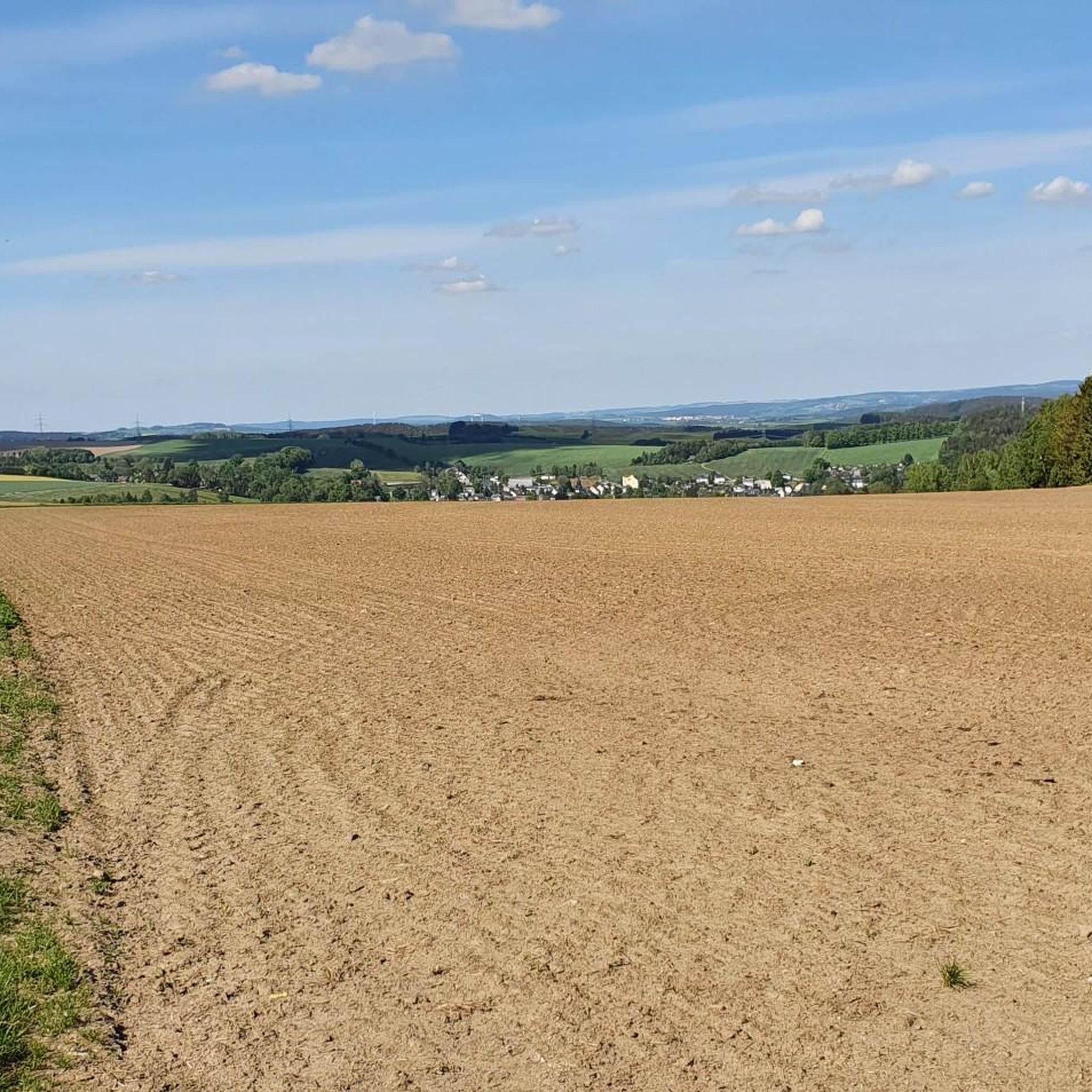
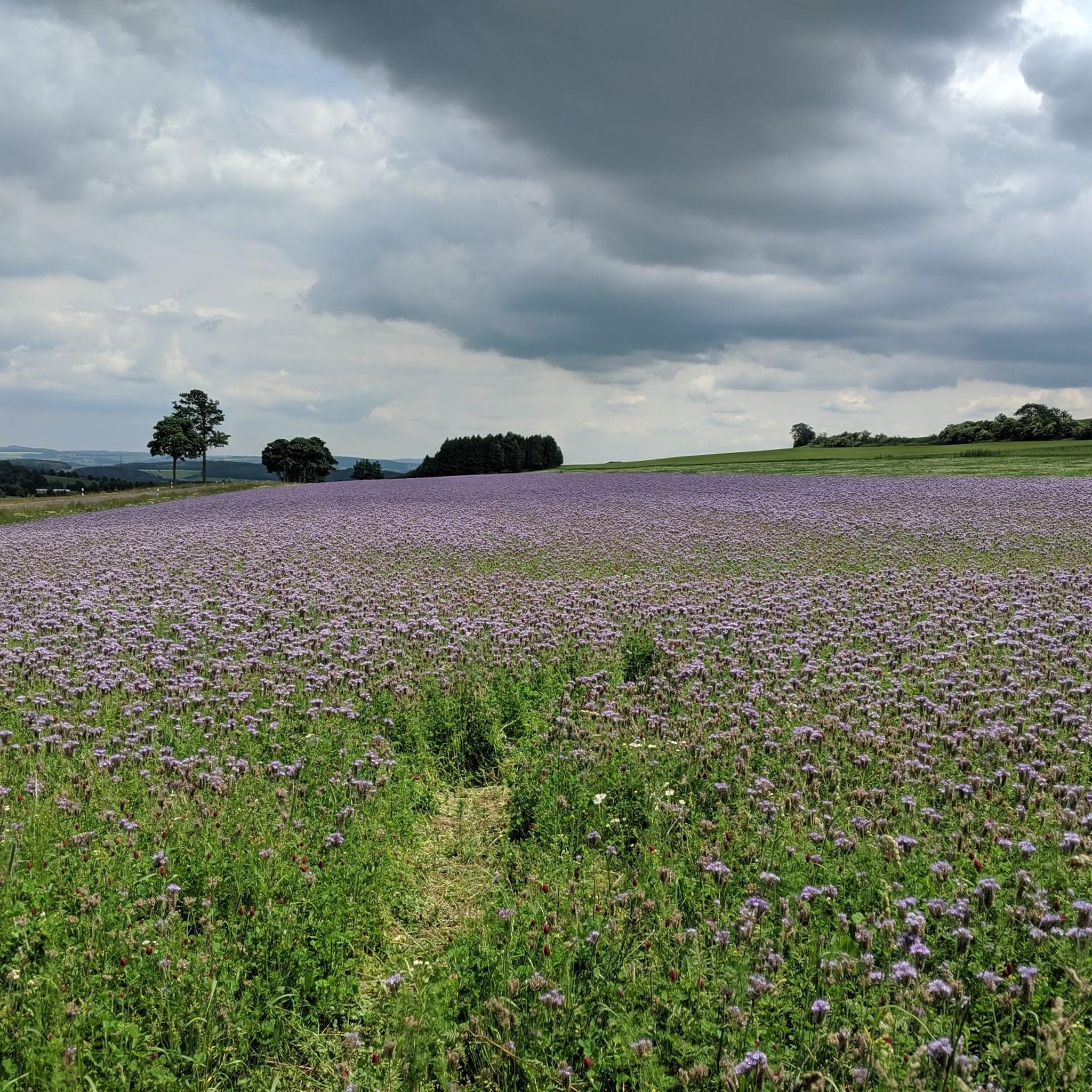


Tips from the Community

The Thumer Bastei, a beautiful little rocky landscape.
0
0

A great monument for a hero. The only thing that bothers is the wrong flags behind it.
0
0

The ascent/descent to the Thumer Bastei (steps) has been closed for months (vandalism 🙄), a detour is signposted.
1
0

Funny and varied, worth it.
0
0

An absolute dream for family outings! The Waldgeisterweg trail not only lives up to its name visually but is also extremely parent-friendly. The wide, well-maintained path can be navigated completely stress-free with a stroller or buggy. Here, a simple walk becomes a real, complaint-free adventure for the little ones. 🌲👻 👉 Looking for more stroller-friendly routes? Check out @wanderfamilie.erzgebirge on Instagram for our honest tour tests!
0
0

The Greifenbach reservoir is one of the oldest dams in Germany. It dams the Rote Wasser stream. Today it is a local recreation area.
2
0

Nice shady spot with a good view.
1
0

Shady spot for a quiet, pleasant break
1
0
Frequently Asked Questions
How many hiking trails are available around Thum?
The Thum area offers a wide variety of hiking experiences, with over 80 routes available. These trails cater to different preferences, ranging from easy strolls to more demanding long-distance hikes.
What kind of terrain can I expect when hiking around Thum?
Hiking around Thum means exploring the diverse landscapes of the Erzgebirge region. You'll find a mix of forested hills, distinctive rock formations like the Greifensteine, and scenic routes around reservoirs such as Eibenstock. Many trails also lead to elevated viewpoints.
What do other hikers say about the trails in Thum?
The hiking routes in Thum are highly regarded by the komoot community, boasting an average score of 4.7 stars from over 400 reviews. Hikers frequently praise the varied terrain and the well-maintained paths that offer access to beautiful natural features.
Are there easy hiking options suitable for beginners in Thum?
Yes, Thum offers numerous easy hiking options, with nearly 50 routes classified as easy. An excellent choice for accessible views is the Georgsfelsen Viewpoint – Bastei (Thum) Viewpoint loop from Thum, an easy 3.2-mile (5.1 km) path.
Can I find challenging long-distance hikes around Thum?
For those seeking a challenge, Thum does offer more demanding routes. The Röhrgrabenweg – Röhrgraben Divider loop from Thum is a difficult 15.0-mile (24.1 km) trail that takes approximately 6 hours 41 minutes to complete, leading through varied terrain.
Are there any circular hiking routes in Thum?
Many of the trails around Thum are designed as circular routes, allowing you to start and end at the same point. Examples include the moderate Bastei (Thum) Viewpoint – Georgsfelsen Viewpoint loop from Herold and the easy Georgsfelsen Viewpoint – Bastei (Thum) Viewpoint loop from Thum.
What natural features or landmarks can I see on hikes around Thum?
Hikes around Thum often feature prominent natural landmarks. You can explore distinctive rock formations like the Greifensteine, enjoy views from the Bastei (Thum) Viewpoint and Georgsfelsen Viewpoint, or hike around the scenic Eibenstock reservoir. The area is characterized by its forested hills and varied landscapes.
Are there any waterfalls or gorges to explore near Thum?
Yes, the region around Thum is home to several beautiful gorges and waterfalls. You can discover the Greifenbach Valley, the Wolf Gorge (Wolkenstein Gorge), and the Königsbachtal. For waterfalls, consider visiting the Sendig Mill and Waterfall or the Oswaldbach Pond and Waterfall near Grünhain.
Are there good viewpoints along the trails in Thum?
Absolutely. Many trails in Thum lead to excellent viewpoints offering panoramic perspectives of the Erzgebirge. Notable viewpoints include the Bastei (Thum) Viewpoint, Georgsfelsen Viewpoint, and Fiedlerstein Viewpoint. You can also find the Wolkensteiner Schweiz Viewpoint in the nearby gorges.
Is Thum a good destination for family-friendly hikes?
Thum offers a good selection of family-friendly trails, particularly among its easy routes. These paths are generally well-suited for all ages and provide opportunities to enjoy nature without excessive difficulty. Look for shorter, less strenuous circular routes for a pleasant family outing.
Can I bring my dog on the hiking trails in Thum?
Many hiking trails in the Thum region are dog-friendly, allowing you to enjoy the outdoors with your canine companion. However, it's always advisable to keep your dog on a leash, especially in nature reserves, near wildlife, or in areas with livestock, to ensure safety and respect for other hikers and the environment.
What is the best time of year to go hiking in Thum?
The Thum region is beautiful throughout the year, but spring to autumn (April to October) generally offers the most pleasant hiking conditions with mild temperatures and vibrant scenery. Winter hiking is also possible, especially on cleared paths, offering a serene, snow-covered landscape.
Are there options for parking or public transport to access the trailheads in Thum?
Access to trailheads in Thum typically involves a combination of parking facilities and, in some cases, public transport connections. While specific parking details vary by trailhead, many popular starting points offer designated parking areas. For public transport, it's best to check local bus schedules for routes connecting to villages and trail access points around Thum.
Most popular attractions around Thum

Get inspired with the komoot mobile app


Explore more
Browse the best Hikes in other regions.
