The best walks and hikes around Castelmagno
4.6
(494)
3,042
hikers
74
hikes
Hiking around Castelmagno, nestled in the Grana Valley within the Southern Cottian Alps, offers diverse natural landscapes. The region features expansive alpine scenery with lush grasslands, dramatic boulder formations, and numerous mountain peaks and passes. Hikers can explore a well-established network of trails across varying elevations, from valley floors to high alpine ridges. This area is characterized by its alpine grandeur and rich array of natural features.
Best hiking trails around Castelmagno
- The most popular hiking route is Monte Tibert e Passo della Crosetta – loop hike, a 7.8 miles (12.5 km) trail that takes 5 hours 34 minutes to complete. This difficult loop features significant elevation gain through alpine terrain.
- Another top favourite among local hikers is Castelmagno Valley Trail to Bivacco Fauniera (via R54), a moderate 6.6 miles (10.6 km) path. This alpine trail leads through the cheese-making valley to mountain huts.
- Local hikers also love the Punta Tempesta – Valle Grana, a 5.9 miles (9.5 km) trail leading through the Grana Valley, often completed in about 4 hours 1 minute.
- Hiking around Castelmagno is defined by alpine scenery, mountain peaks, and high passes, with trails ranging from moderate paths to challenging alpine routes. The network offers options for different ability levels.
- The routes in Castelmagno are highly rated by the komoot community with an average score of 4.6 stars from over 400 reviews. More than 2800 hikers have used komoot to explore Castelmagno's varied terrain.
Last updated: July 7, 2026
4.8
(44)
236
hikers
12.5km
05:34
880m
880m
Embark on the Monte Tibert e Passo della Crosetta loop hike, a difficult 7.8-mile (12.5 km) journey that challenges you with 2892 feet (881 metres) of elevation gain over approximately 5 hours and 33 minutes. This trail offers extensive panoramic views and varied alpine terrain, starting on roads before transitioning to well-marked paths. You will traverse vibrant grassy pastures, rocky sections, and steep slopes, with some parts near the Monte Tibert summit requiring careful navigation and scrambling over rock steps. From the summit, you can enjoy expansive vistas across the entire Alpine arc, including the Maritime and Cozie Alps.
This difficult loop hike demands a good level of fitness, sure-footedness, and alpine experience, so be sure to wear sturdy shoes. The trail is rated E+ for experienced hikers, with some sections potentially reaching a SAC difficulty of 4-6. While generally well-marked, some narrow ridge segments may require using your hands for support. If you plan to hike in snowy conditions, be aware that specialized equipment like crampons might be necessary for your safety.
The hike begins at the Santuario di San Magno, a beautiful 15th-century sanctuary that serves as an important pilgrimage destination. As you ascend, keep an eye out for marmots, which are a common sight along the trail. The Monte Tibert summit, at 2648 meters, marks the highest point of the Grana Valley watershed and is crowned with a distinctive wooden cross, offering truly breathtaking 360-degree views. You will also notice the distinct vegetation along the ridge, with grassy tufts on one side and rhododendrons on the other.
4.6
(22)
277
hikers
10.6km
03:49
530m
530m
Embark on the Castelmagno Valley Trail to Bivacco Fauniera, a moderate hike that takes you through one of Piedmont's most scenic valleys. As you follow the Sentiero Riccardo D'Epifanio, you will experience a changing landscape, passing traditional rural buildings at Gias Fauniera where you might hear cow bells ringing. Keep an eye out for "Il Mostro," a huge boulder near Rocca Parvo that locals call "The Monster," which makes for a great photo opportunity and natural landmark. This route covers 6.6 miles (10.6 km) with an elevation gain of 1739 feet (530 metres), typically taking around 3 hours and 49 minutes to complete.
To begin your adventure, head to Località Langra, where you will find a small parking area conveniently located along the road. The trail is well-suited for a day trip, offering a chance to immerse yourself in the alpine environment. Consider starting your hike in the morning to enjoy the cooler temperatures and ample daylight, especially during the warmer months. There are no specific permits or fees mentioned for this trail, making it easily accessible for spontaneous outings.
This trail offers a deep dive into authentic Piedmont mountain culture, set against a backdrop of impressive alpine scenery. The Castelmagno Valley is renowned for its famous Castelmagno cheese, and you will pass through areas where cheesemakers transform milk into this local delicacy. The route also leads you to the source of Font Niéra, where the Grana torrent begins its journey through the valley, and includes stops at both Rifugio Fauniera and the rustic wooden Bivacco Fauniera, providing perfect spots to rest and soak in the mountain atmosphere.

Sign up for free
4.9
(30)
156
hikers
9.46km
04:01
460m
460m
Embark on the Punta Tempesta – Valle Grana trail, a challenging hike in the Italian Cottian Alps that promises rewarding views. This difficult route covers 5.9 miles (9.5 km) and involves a significant elevation gain of 1520 feet (463 metres), typically taking around 4 hours and 1 minute to complete. As you ascend, the terrain becomes quite steep, especially towards the summit. Reaching the expansive, rounded peak, you'll find a small cross, a stone cairn, and a niche housing a Madonna statue. From this vantage point, you are treated to extensive 360-degree views across the Cottian and Maritime Alps, with distant glimpses of Monte Rosa, Mont Blanc, and the Po plain on clear days. The journey offers stunning scenery for a high-altitude peak. You should be prepared for the final steep push to the top.
Planning your visit requires good fitness, sure-footedness, and sturdy shoes, as some routes to Punta Tempesta via Valle Grana are rated
4.9
(8)
33
hikers
4.26km
01:50
250m
250m
Embark on the Cima Fauniera Loop Trail, a moderate hike that takes you through changing landscapes. You will start in peaceful forests before climbing above the tree line into a wild, rocky mountain environment. The route covers 2.6 miles (4.3 km) and involves an elevation gain of 817 feet (249 metres), typically taking about 1 hour and 50 minutes to complete. From the summit of Cima Fauniera, you can enjoy expansive panoramic views of the Western Alps, where the vistas seem to stretch endlessly. You will also pass by alpine meadows, a deep gorge, and a small river along the way.
When planning your visit, be aware that the trail has varied surfaces. You might encounter sections with poor tarmac, holes, and loose gravel. Some parts can be narrow, resembling a
5.0
(5)
47
hikers
11.0km
04:38
490m
490m
Embark on a difficult hike to Monte Pelvo, Punta Tempesta, and Punta La Piovosa in Valle Maira, a demanding route known for its spectacular panoramic views. This 6.8-mile (11.0 km) journey involves a significant 1622 feet (494 metres) of elevation gain, requiring good fitness and sure-footedness. You will traverse diverse alpine paths, passing through forests and rocky crags, with the final stretch to Monte Pelvo potentially needing a helmet and careful navigation along fixed chains. The entire experience typically takes around 4 hours and 38 minutes to complete. From Punta Tempesta, you can enjoy expansive views of the Cottian and Maritime Alps, and even Monte Rosa or Mont Blanc on clear days.
This challenging trail is best undertaken during the summer months when paths are clear and alpine flora is in bloom. The terrain includes highly technical sections, so sturdy shoes and alpine experience are essential for your safety. While the area features well-marked paths, having a GPX trace is recommended, especially if you are not familiar with Italian. Be prepared for potentially changeable weather conditions, as hinted by Punta Tempesta's name, meaning "storm."
The Valle Maira, nestled in Italy's Piedmont region near the French border, offers a tranquil atmosphere free from mass tourism. This area is celebrated for its unspoiled natural beauty and the chance to spot wildlife like marmots and ibex. The peaks are often part of longer routes, such as the Alta Via di Marmora, which provides splendid views of Monviso. The region's historical isolation has preserved ancient traditions, adding to the unique character of your hiking adventure.
Get access to more routes and recommendations from other explorers.
Sign up for free
Already have an account?
Our route recommendations are based on thousands of hikes, rides, and runs completed by other people on komoot.
Start today with a free account
Your next adventure awaits.
Login or Signup
Popular around Castelmagno

GTA South Piedmont — Hiking in Italy's Occitan valleys
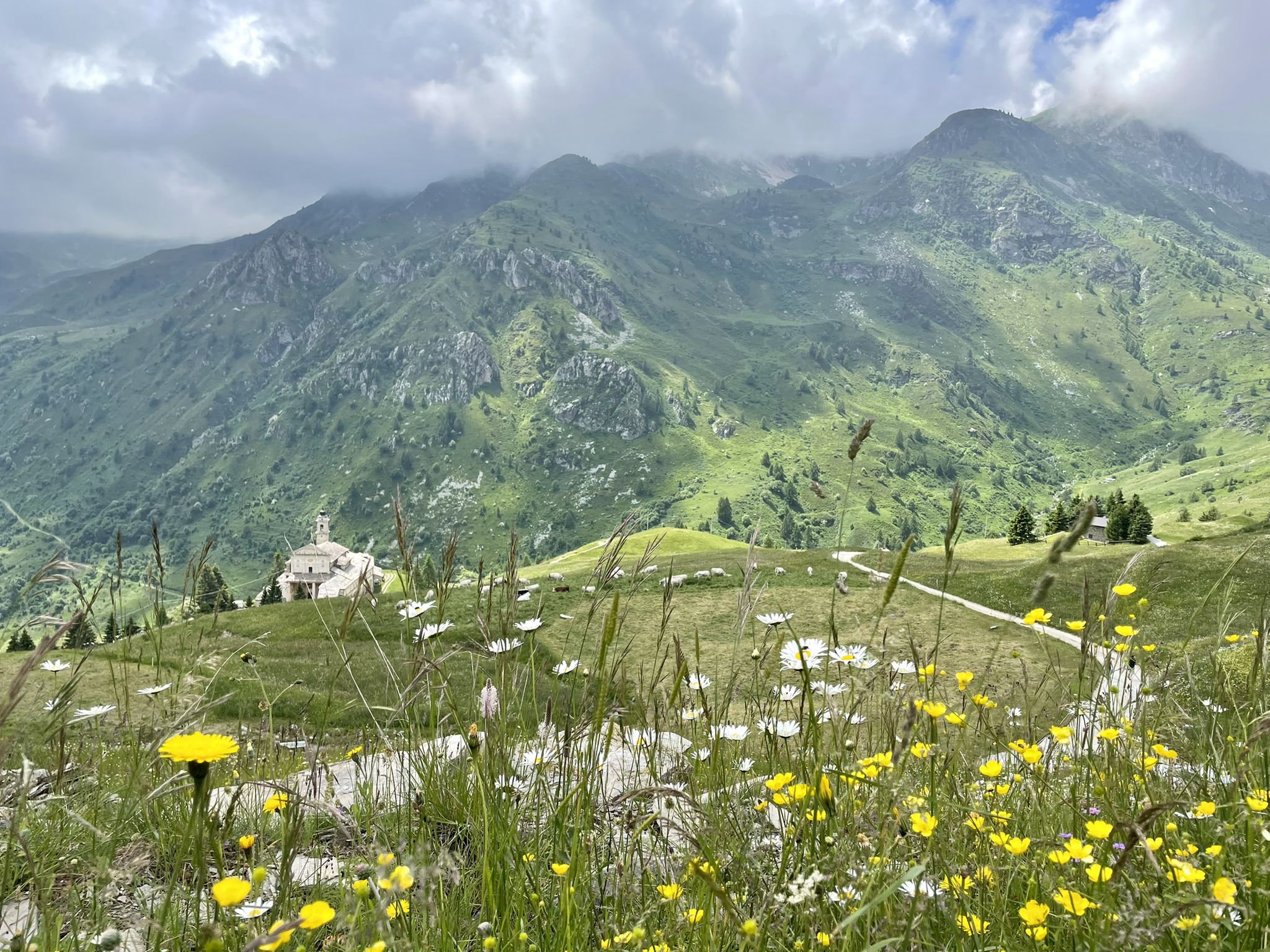
Famous cheese and fantastic landscapes – 7 trips from Italy’s Castelmagno
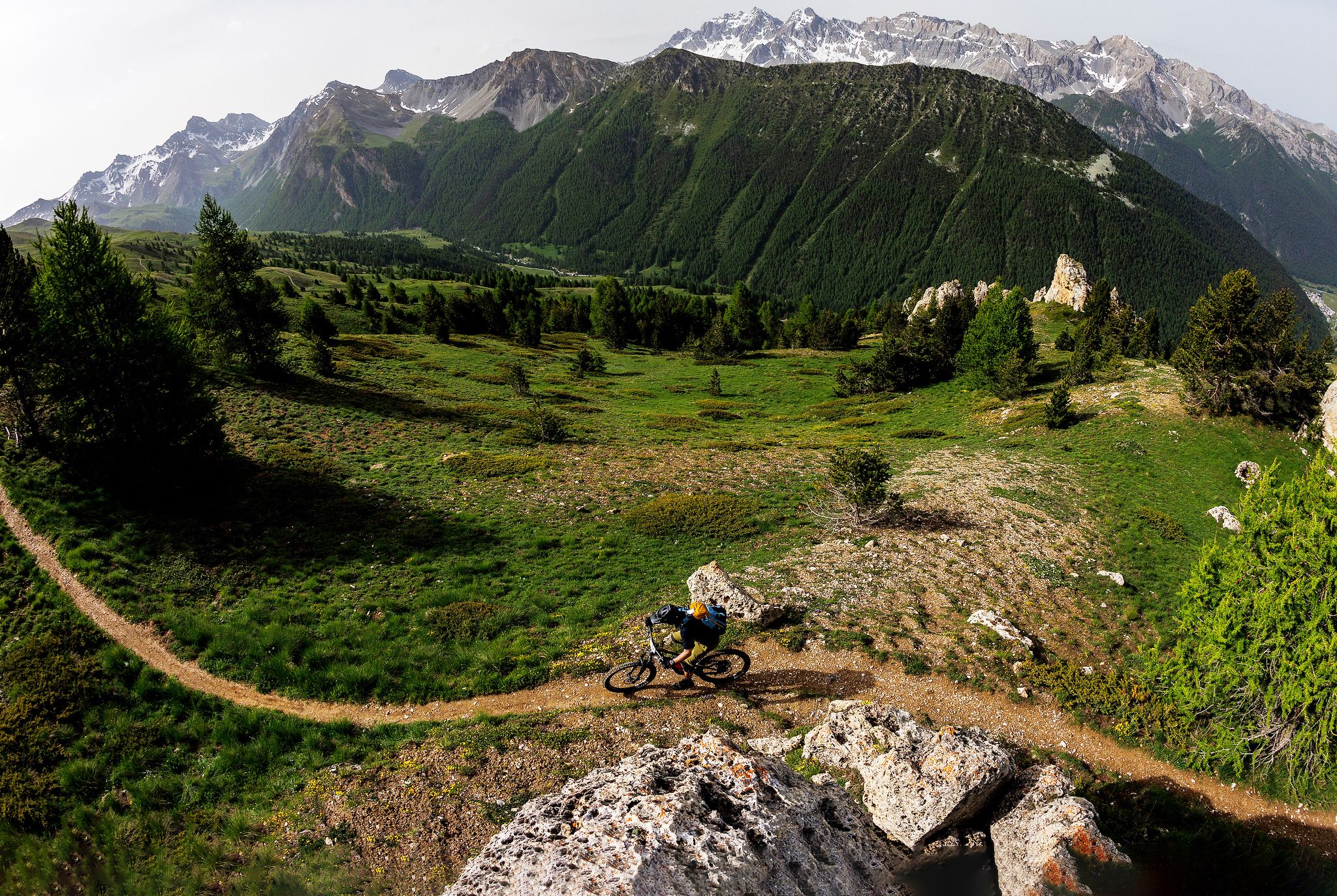
The STONE KING Route – adventure enduro from High Alps to the Med
Road Cycling Routes around Castelmagno
Cycling around Castelmagno
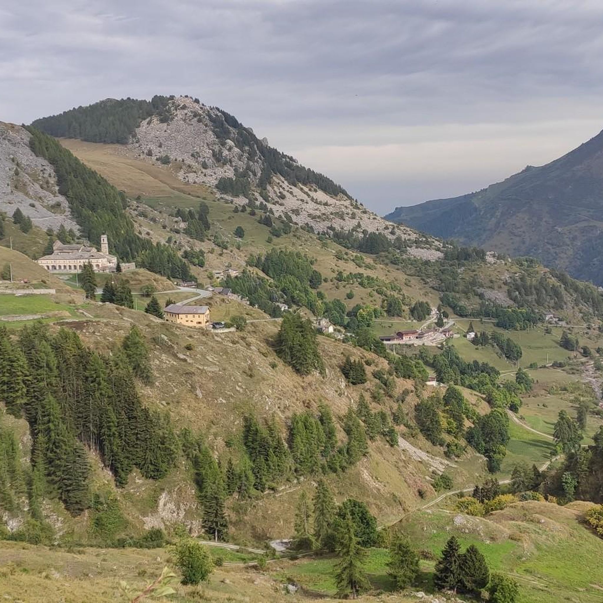
MTB Trails around Castelmagno

Gravel biking around Castelmagno
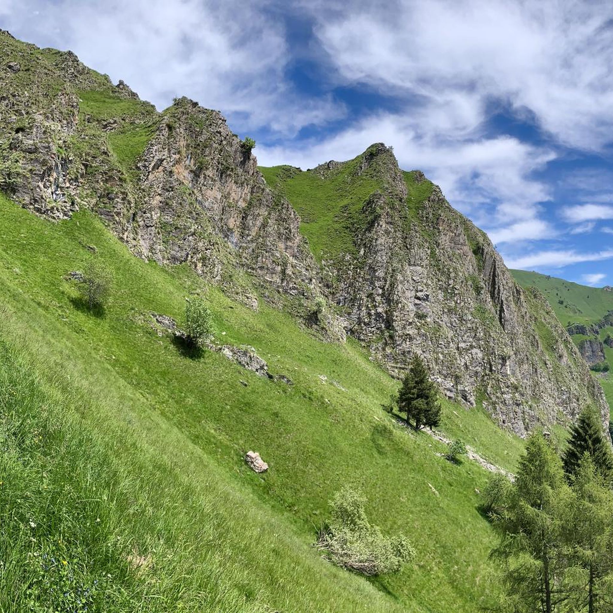
Running Trails around Castelmagno
Mountain Hikes around Castelmagno
Other adventures around Castelmagno


Tips from the Community

Wonderful place on the road from Pradleves to Colle della Fauniera. I know the description fits every meter of the road, but there isn't much else to say: you have to go up there to understand.
0
0
"Gias", meaning a high-altitude pasture, used by shepherds since time immemorial (or at least since I started frequenting the area). It is located on a spectacular plateau at the head of the Val Grana.
0
0
A short distance below the Esischie hill, this comfortable refuge offers hospitality and a beautiful 360° panorama.
0
0

Easy ski mountaineering trip, rated MS. Approximately 900 meters of elevation gain from the Castelmagno Sanctuary. Ascent and descent on wide slopes. Generally quite safe, even with avalanche risk level 3. https://www.komoot.com/it-it/tour/2794660418/annotate/participants
0
0

Highest peak in the region with stunning panoramic views, easy to reach
0
0

Very panoramic and easy to reach place
0
0

panoramic.early morning. afternoon heat fogs.
0
0

As mentioned, climb with the last stretch pushed or walk+, Descent feasible with a little attention, OC +
0
0
Frequently Asked Questions
How many hiking trails are available in Castelmagno?
Castelmagno offers a comprehensive network of over 70 hiking trails. These range from easy paths suitable for beginners to challenging alpine routes, ensuring options for various fitness levels and preferences.
Are there any easy or family-friendly hiking options in Castelmagno?
Yes, Castelmagno has several easier trails. For families, the Sentiero dei Sarvanot is a nature trail with informational signage, designed to be engaging for all ages. While specific easy routes aren't detailed in the guide, the region offers 4 easy tours among its total, providing accessible options for a relaxed outing.
What kind of landscapes can I expect to see while hiking in Castelmagno?
Hikers in Castelmagno will experience diverse alpine landscapes, including lush grasslands, dramatic boulder formations, and a rich array of mountain peaks and passes within the Grana Valley and Southern Cottian Alps. Notable features include the almost lunar landscape around Colle del Preit with its imposing rock formations, and the expansive views from peaks like Punta Tempesta.
Are there any circular hiking routes in Castelmagno?
Yes, Castelmagno features several circular routes. One popular option is the Cima Fauniera Loop Trail, a moderate 2.6-mile (4.2 km) path offering panoramic views of the Western Alps. Another challenging loop is the Monte Tibert e Passo della Crosetta – loop hike, which covers 7.8 miles (12.5 km) with significant elevation gain.
What are some notable attractions or landmarks to see along the trails?
Beyond the natural beauty, hikers can discover several points of interest. The historic Sanctuary of San Magno, located at 1,800 meters, is a significant cultural landmark. You might also encounter mountain huts like Gardetta Hut, or even the Marco Pantani Monument on Colle Fauniera. The region is also known for its Castelmagno PDO cheese production, offering a unique cultural and gastronomic element.
Can I find mountain huts or shelters along the hiking routes?
Yes, the Castelmagno area has mountain huts that provide resting points and shelter. For instance, the Castelmagno Valley Trail leads to Bivacco Fauniera. Other huts in the vicinity include Gardetta Hut, Locanda Occitana Lou Pitavin, and Rifugio Maraman.
What is the best time of year to go hiking in Castelmagno?
The best time for hiking in Castelmagno is generally during the warmer months, from late spring to early autumn. During summer, the alpine meadows are adorned with wildflowers, and you might spot shepherds with their flocks. The high mountain passes are typically clear of snow during this period, offering optimal conditions for exploring.
Are there any challenging hikes for experienced trekkers?
Absolutely. Castelmagno is known for its challenging alpine routes. An example is the Punta Tempesta – Valle Grana trail, a difficult 5.9-mile (9.5 km) route. Another demanding option is Monte Pelvo, Punta Tempesta e Punta La Piovosa – Valle Maira, an 11 km route with considerable elevation gain.
What do other hikers say about the trails in Castelmagno?
The hiking routes in Castelmagno are highly rated by the komoot community, with an average score of 4.6 stars from over 400 reviews. Hikers frequently praise the stunning alpine scenery, the well-established trail network, and the diverse options available for different ability levels.
Are there any unique cultural experiences related to hiking in Castelmagno?
Yes, Castelmagno is famous for its PDO cheese, produced in the high mountain pastures. Hiking through the 'cheese-making valley' offers a unique opportunity to experience this local tradition. Additionally, the Cammino di San Magno, a restored ancient pilgrim path, allows you to explore charming hamlets and the historic Sanctuary of San Magno.
Can I find information about the region's natural heritage?
Castelmagno is part of the Western Alpine and Grana Valley Sky Sanctuary, recognized for its almost uncontaminated starry night skies. You can find more information about this unique natural heritage at astronomicalheritage.net.
Most popular routes around Castelmagno
Most popular attractions around Castelmagno

Get inspired with the komoot mobile app


Explore more
Browse the best Hikes in other regions.
