The best mountain hikes around Castelmagno
5.0
(7)
42
hikers
7
hikes
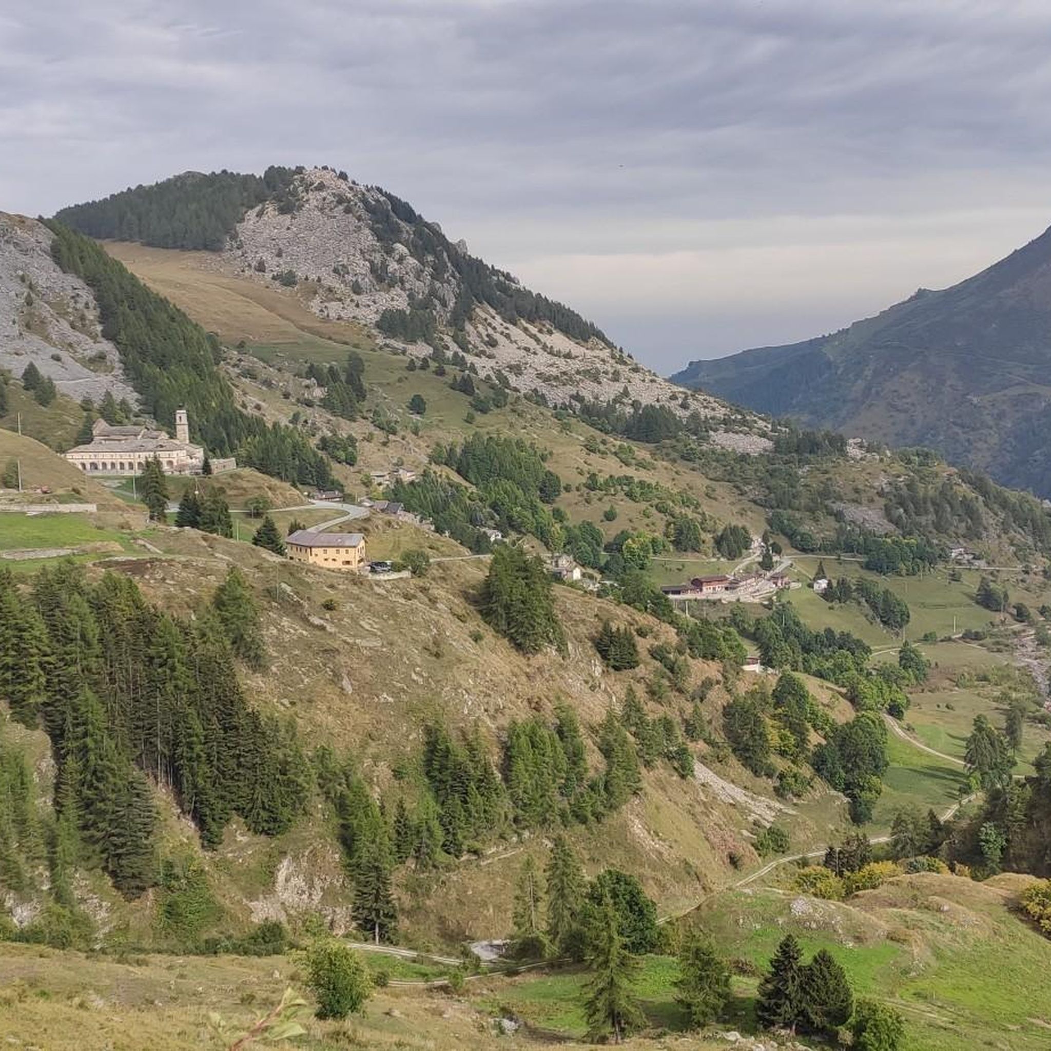
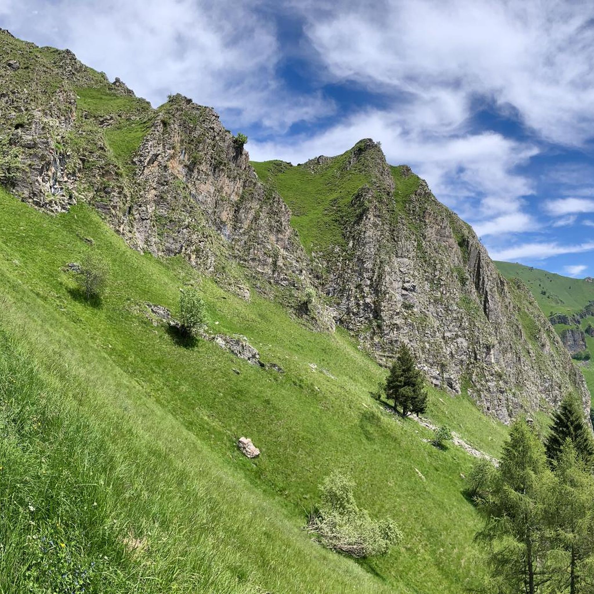
Mountaineering around Castelmagno features a diverse landscape characterized by alpine valleys, high mountain passes, and prominent peaks. The region offers significant elevation changes, with routes traversing through forests, open meadows, and rocky terrain. This area is ideal for those seeking challenging ascents and panoramic views of the surrounding mountains.
Best mountaineering routes around Castelmagno
- The most popular mountaineering route is Borgata Preit (1540 m) loop from Preit, a 7.9 miles (12.8 km) trail that takes about 4 hours 55…
Last updated: October 11, 2026
5.0
(1)
16
hikers
3.00km
02:12
390m
390m
Hard mountaineering route. Good fitness required. Sure-footedness, sturdy shoes and alpine experience required.
5.0
(3)
9
hikers
18.5km
07:02
1,040m
1,050m
Hard mountaineering route. Very good fitness required. Mostly accessible paths. Sure-footedness required.

5
hikers
18.3km
07:45
1,150m
1,150m
Hard mountaineering route. Very good fitness required. Sure-footedness, sturdy shoes and alpine experience required.
5.0
(2)
5
hikers
9.75km
03:44
590m
590m
Moderate mountaineering route. Good fitness required. Mostly accessible paths. Sure-footedness required.
5.0
(1)
4
hikers
4.14km
01:52
390m
390m
Moderate mountaineering route. Good fitness required. Easily-accessible paths. Suitable for all skill levels.
Get access to more routes and recommendations from other explorers.
Already have an account?
Our route recommendations are based on thousands of hikes, rides, and runs completed by other people on komoot.
Start today with a free account
Your next adventure awaits.
Popular around Castelmagno
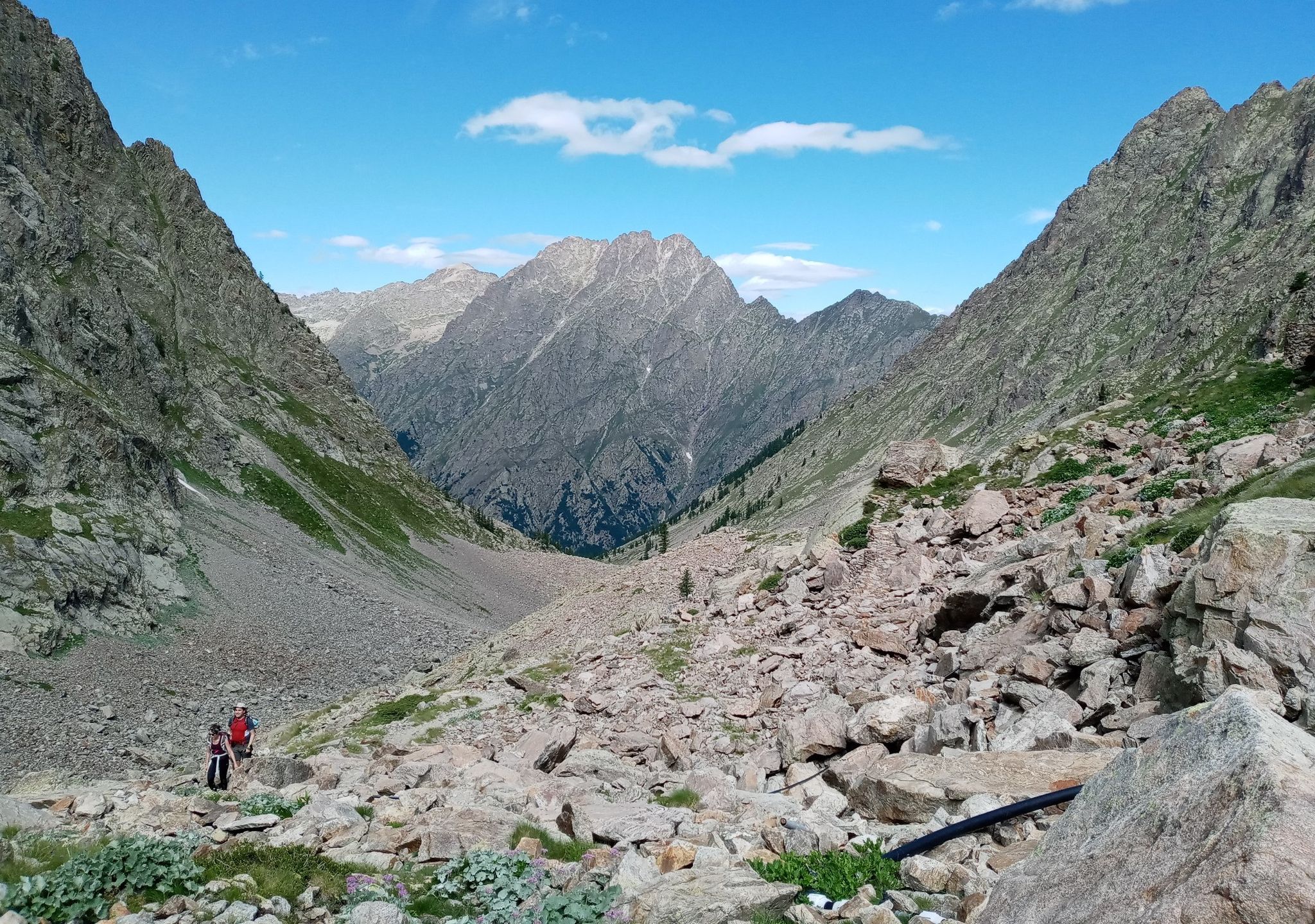
GTA South Piedmont — Hiking in Italy's Occitan valleys
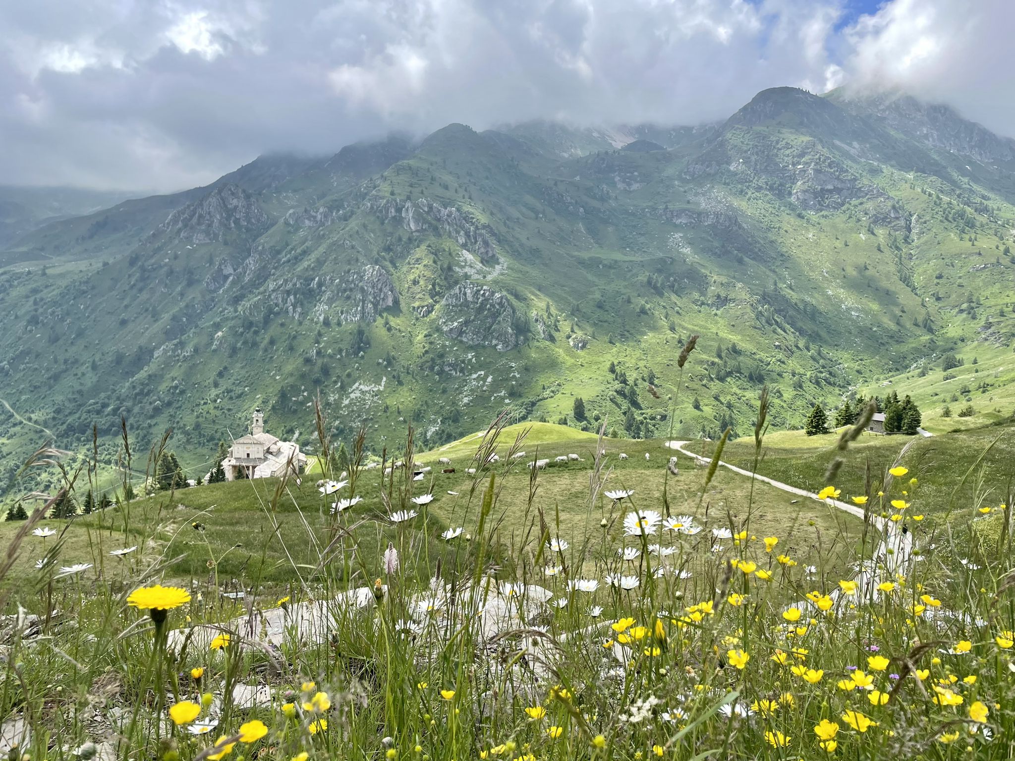
Famous cheese and fantastic landscapes – 7 trips from Italy’s Castelmagno

Hiking around Castelmagno

Gravel biking around Castelmagno
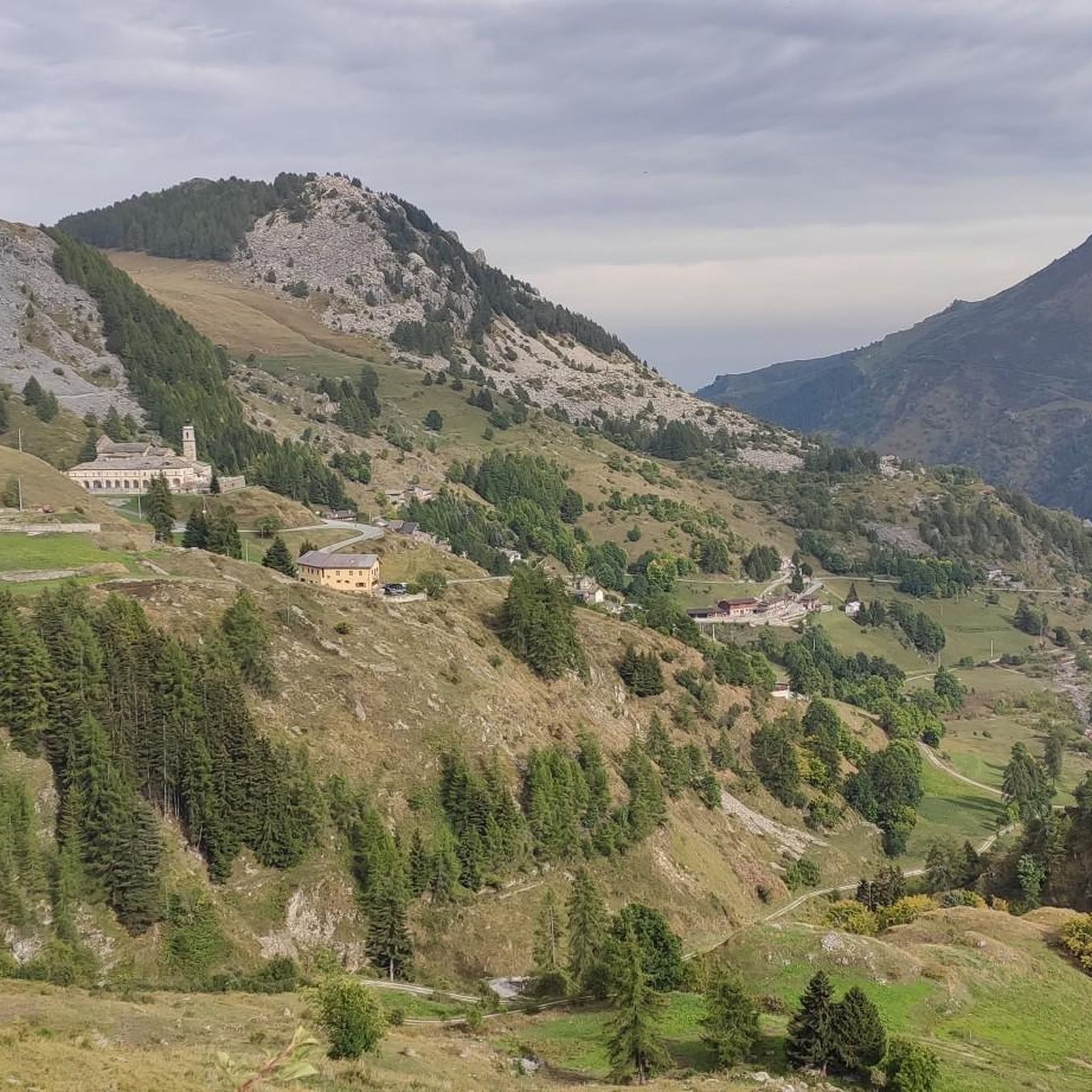
Cycling around Castelmagno
Road Cycling Routes around Castelmagno
MTB Trails around Castelmagno
Running Trails around Castelmagno

Tips from the Community


From the Caserme della Bandia you can quickly reach the Colle d'Ancoccia and from here descend to Lago della Meja. A magnificent panorama ideal for sunset photography
0
0

The truly spectacular Rocca Mejia
0
0

Spectacular setting 👍 Maira Valley highly recommended
1
0

Beautiful village, starting point for various paths and for the via ferrata of the same name.
0
0
Nice starting point for various paths or for the via ferrata of Camoglieres. Several parking spaces available.
0
0

Beautiful village, very well kept. The "Napoleonic Path" starts from here
2
0
The Napoleonic path starts from here, very very beautiful and highly recommended, panoramic point on the rock
1
0
Frequently Asked Questions
How many mountaineering routes are available around Castelmagno?
Castelmagno offers a good selection of mountaineering routes, with 10 distinct trails to explore. These routes vary in difficulty, providing options for different skill levels.
What is the general difficulty level of mountaineering routes in Castelmagno?
The mountaineering routes around Castelmagno are primarily geared towards experienced hikers. There are 4 moderate routes and 6 difficult routes, indicating a focus on more challenging ascents and terrain.
What do other mountaineers say about the routes in Castelmagno?
The komoot community highly rates the mountaineering routes in Castelmagno, with an impressive average score of 4.9 stars from over 10 reviews. More than 70 mountaineers have already used komoot to explore this varied terrain, often praising the challenging ascents and panoramic views.
Are there any circular mountaineering routes around Castelmagno?
Yes, many of the mountaineering routes in Castelmagno are circular, allowing you to start and end in the same location. For example, you could try the challenging Punta Tempesta – Monte Tibert loop from Santuario di San Magno, which offers a full day's adventure.
Are there any less-known or 'hidden gem' routes for experienced climbers?
For those seeking a challenging and perhaps less-trafficked experience, consider the Rocca la Meja Summit (2,831 m) loop from Lago Resile. This difficult route involves significant elevation gain and rewards with stunning alpine vistas.
When is the best time of year for mountaineering in Castelmagno?
The best time for mountaineering in Castelmagno is typically from late spring to early autumn (June to September). During these months, the weather is generally more stable, and trails are free of snow, making for safer and more enjoyable ascents. Always check local weather forecasts before heading out.
Is mountaineering in Castelmagno dog-friendly?
Many trails in the Castelmagno region are suitable for dogs, but it's crucial to keep them on a leash, especially in areas with livestock or wildlife. Always ensure your dog is fit enough for the chosen route and carry enough water for both of you. Check specific route details for any restrictions.
What natural attractions can I discover near the mountaineering trails?
The Castelmagno area is rich in natural beauty. Along or near the mountaineering routes, you can discover stunning features like Lago Nero (Valle Maira), the scenic Preit Pass, and the impressive Mount Tibert. These highlights offer additional points of interest during your adventure.
Where can I find parking for mountaineering routes near Castelmagno?
Parking is generally available at the starting points of many routes. For instance, you can find parking near Preit for the Borgata Preit (1540 m) loop, or near Santuario di San Magno for routes like the Punta Tempesta – Monte Tibert loop. Specific parking information is often available in the route descriptions.
What kind of wildlife might I encounter on the trails?
The alpine environment around Castelmagno is home to diverse wildlife. Keep an eye out for chamois and ibex on higher rocky slopes, marmots in alpine meadows, and various bird species, including eagles. Respect their habitat by maintaining a safe distance and not disturbing them.
Are there any options for winter mountaineering in Castelmagno?
While some routes might be accessible for experienced winter mountaineers, the region's high mountain passes and significant elevation changes mean many trails become challenging and potentially dangerous due to snow and ice. Winter mountaineering requires specialized equipment, skills, and knowledge of avalanche conditions. It is generally recommended to stick to marked winter trails or consult local guides for safe winter exploration.
Are there any cafes or places to eat near the mountaineering routes?
While the routes themselves are often in remote alpine settings, you can typically find amenities in the small villages and hamlets that serve as starting points. For example, areas like Santuario di San Magno or Preit may offer small cafes or refuges where you can refuel before or after your hike. It's always wise to carry sufficient food and water for your journey.
Most popular routes around Castelmagno
Most popular attractions around Castelmagno

Get inspired with the komoot mobile app


Explore more
Browse the best Mountain Hikes & Routes in other regions.
