The best mountain hikes around Moggio Udinese
4.9
(48)
344
hikers
35
hikes
Mountaineering routes around Moggio Udinese are set within the dramatic landscapes of the Carnic Prealps and Julian Alps, characterized by rugged peaks and deep valleys. The region features significant waterways like the Fella River and its tributaries, alongside extensive beech forests and alpine pastures. Diverse mountain peaks such as Grauzaria, Sernio, and Zuc dal Bôr offer varied ascents. This terrain provides a range of challenging climbs and scenic paths for mountaineers.
Best mountaineering routes around Moggio Udinese
- The most popular…
Last updated: October 8, 2026
4.3
(7)
41
hikers
Hard mountaineering route. Good fitness required. Sure-footedness, sturdy shoes and alpine experience required.
5.0
(3)
11
hikers
Hard mountaineering route. Good fitness required. Sure-footedness, sturdy shoes and alpine experience required.

5.0
(1)
9
hikers
Moderate mountaineering route. Good fitness required. Mostly accessible paths. Sure-footedness required.
5.0
(3)
8
hikers
12.1km
05:40
780m
780m
Hard mountaineering route. Very good fitness required. Sure-footedness, sturdy shoes and alpine experience required.
7
hikers
8.72km
04:30
720m
720m
Hard mountaineering route. Good fitness required. Sure-footedness, sturdy shoes and alpine experience required.
Get access to more routes and recommendations from other explorers.
Already have an account?
Our route recommendations are based on thousands of hikes, rides, and runs completed by other people on komoot.
Start today with a free account
Your next adventure awaits.
Popular around Moggio Udinese
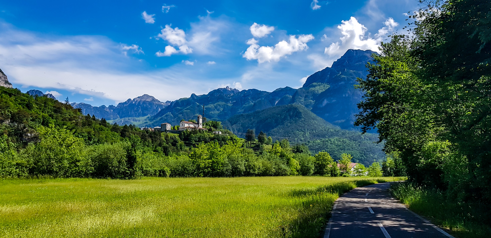
Friuli in its entirety – bike rides through plains, villages and waterscapes
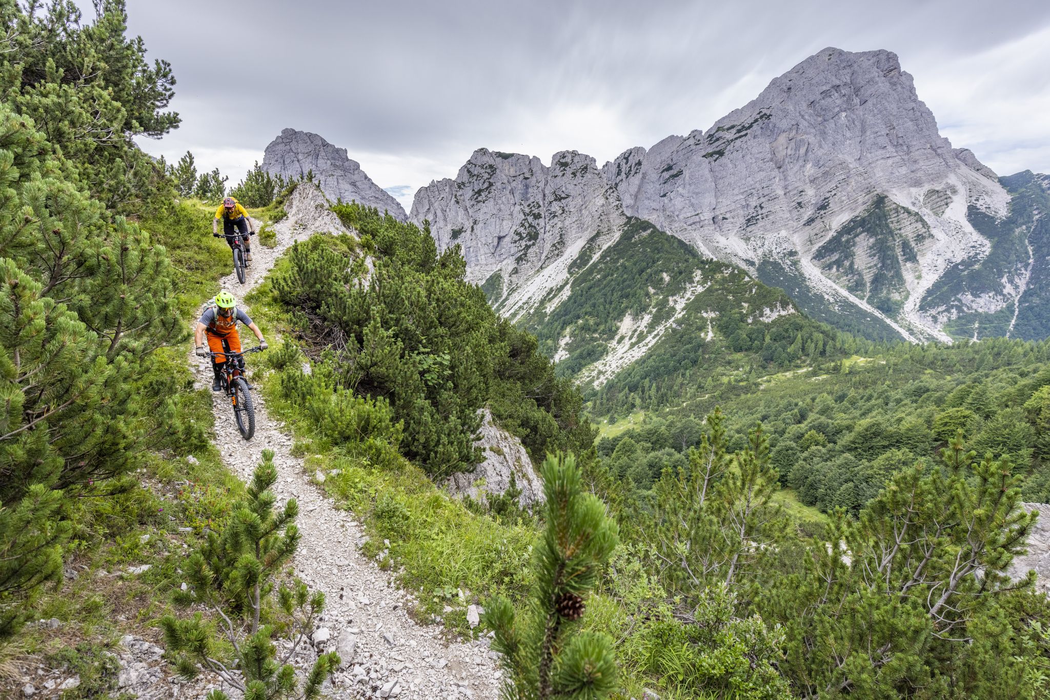
Friuli Trail Guide – the forgotten paradise in the Julian Alps
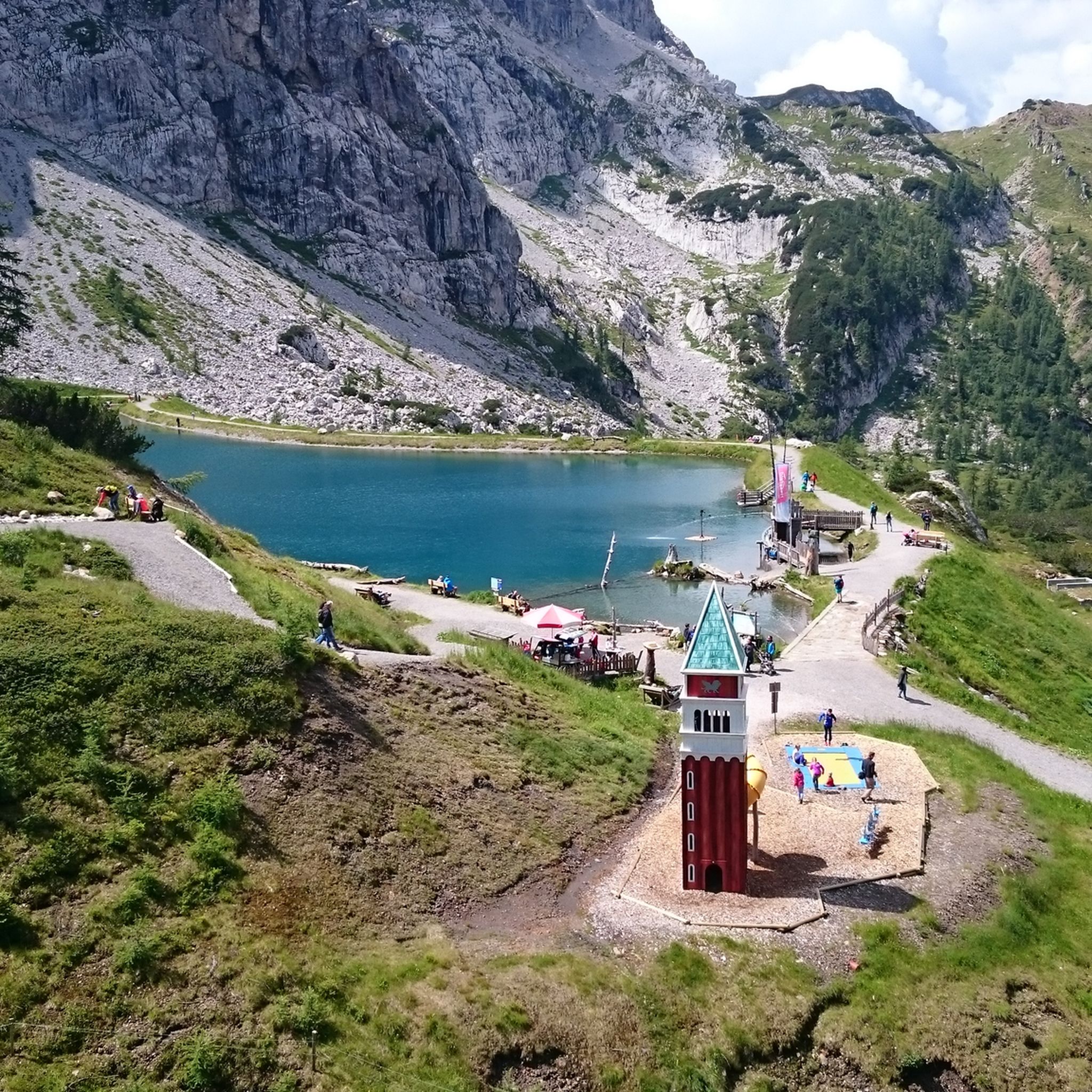
Hiking around Moggio Udinese
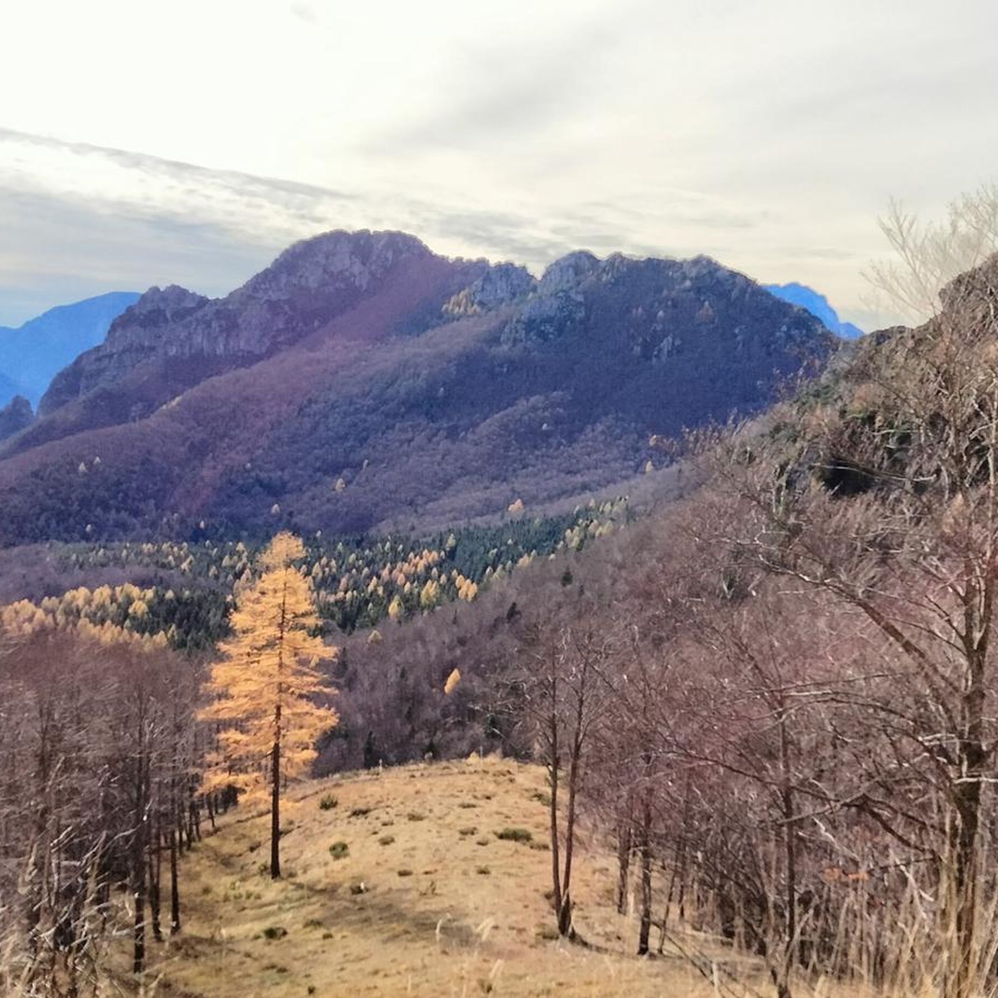
MTB Trails around Moggio Udinese
Road Cycling Routes around Moggio Udinese
Cycling around Moggio Udinese
Running Trails around Moggio Udinese
Gravel biking around Moggio Udinese


Tips from the Community

Sportingly and historically, a pass that was traversed during the Giro d'Italia 2013. At the pass, there is an elevation with a mountain hut and ample parking spaces. Around the pass, there are many hiking trails. Cyclists can ride the pass from both sides, with the side coming from Paularo offering more views of the mountain world.
0
0
A platform from which a 360-degree panoramic view is possible, extending far into the mountain and mountain range worlds.
0
0

If you choose the hike to Winkel Alm from this summit, expect double the indicated 40 minutes. Beautiful hike, mostly downhill and difficult due to loose rock boulders. The end is the Winkel Alm restaurant, where we couldn't eat or drink anything because there was a private party. Recommendation: check this before you go. Luckily, we reached 2 restaurants on the road within half an hour. Via the Marlitzen chairlift, we were then able to close the loop.
0
0

The only cable car still open, in the others you can't get any air 😕
0
0

Another type of bivouac box near Nassfeld
0
0

Beautiful, but quite crowded because of the cable car.
0
0

Beautiful alpine pasture on the mountain
1
0
Beautiful mountain for hiking
1
0
Frequently Asked Questions
How many mountaineering routes are available around Moggio Udinese?
There are over 40 mountaineering routes in the Moggio Udinese area. The majority, 32 routes, are classified as difficult, while 10 are moderate. There are no easy mountaineering routes listed in this guide.
What kind of terrain can I expect on mountaineering routes in Moggio Udinese?
The terrain around Moggio Udinese is diverse, featuring rugged peaks of the Carnic Prealps and Julian Alps, deep valleys like Val Aupa and Val Alba, and extensive beech forests and alpine pastures. You'll encounter varied surfaces, from marked trails to rocky ascents.
Are there any circular mountaineering routes in the Moggio Udinese region?
Yes, many routes in the area are circular. For example, the Via Ferrata Zermula loop from Passo del Cason di Lanza offers a challenging circular experience. Another option is the Austria–Italy Border Stone – Sella di Aip loop, a moderate route through mountain passes.
What are some notable landmarks or points of interest along the mountaineering routes?
The region offers several points of interest. You can find historical sites like the Monte Festa Fortress or the Monte Festa World War I Tunnel System. For scenic views, consider visiting the Panoramic terrace with “Sky Plate” or the Gartnerkofel Summit Cross.
What do other mountaineers say about the routes in Moggio Udinese?
The mountaineering routes in Moggio Udinese are highly rated by the komoot community, with an average score of 4.95 stars from over 40 reviews. Users often praise the dramatic landscapes, challenging ascents, and the well-maintained trails that lead through diverse terrain.
Are there any particularly challenging mountaineering routes in Moggio Udinese?
Yes, the area is known for its challenging routes. The Ascent to Creta di Pricotic – Monte Cavallo di Pontebba loop is a difficult 6 km path featuring an ascent to a prominent peak with panoramic views. Another demanding option is the Uiberlachersteig loop from Passo del Cason di Lanza, which covers nearly 12 km with significant elevation gain.
What is the best time of year for mountaineering in Moggio Udinese?
The best time for mountaineering in Moggio Udinese is typically from late spring through early autumn (May to October) when the weather is more stable and trails are generally free of snow. Always check local weather conditions and trail status before heading out, especially at higher elevations.
Are there any mountain huts or refuges in the area?
Yes, the Rifugio Grauzaria serves as a base for many routes in the area. While not directly on every route listed, it's a significant point of reference for mountaineers exploring the region.
Are there any routes that pass through historical or abandoned villages?
The region is home to isolated, abandoned medieval villages like Moggessa di Qua, Moggessa di Là, and Stavoli. While not explicitly listed in the provided routes, hiking trails such as the CAI 418 pass through these settlements, offering a unique historical dimension to your outdoor experience.
What natural features define the mountaineering experience in Moggio Udinese?
The mountaineering experience is defined by the impressive peaks of the Carnic and Julian Alps, deep valleys like Val Aupa and Val Alba, and extensive alpine forests. The Fella River and its tributaries also shape the landscape, adding to the scenic beauty.
Are there any routes suitable for experienced mountaineers looking for a long day out?
For experienced mountaineers seeking a longer and more demanding day, the Rudnig Alm loop from Rudnig Alm is a difficult route covering nearly 8.7 km with significant elevation changes, typically taking over 4.5 hours to complete.
Most popular routes around Moggio Udinese
Most popular attractions around Moggio Udinese

Get inspired with the komoot mobile app


Explore more
Browse the best Mountain Hikes & Routes in other regions.
