The best walks and hikes around Moggio Udinese
4.4
(1008)
5,147
hikers
95
hikes
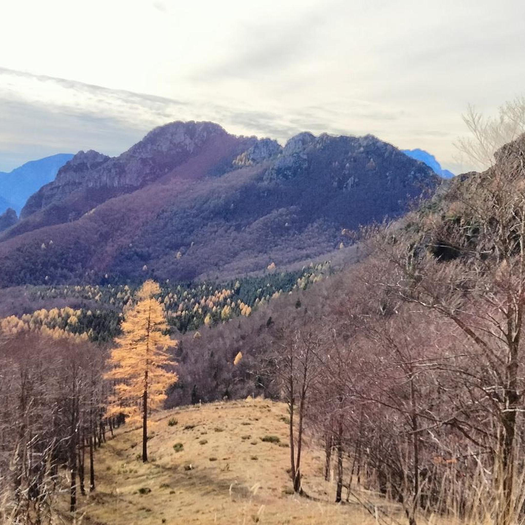
Hiking around Moggio Udinese offers diverse and dramatic natural landscapes within the Friuli Venezia Giulia region of Italy. The area is characterized by prominent mountains such as Grauzaria, Sernio, and Monte Chiavals, alongside valleys shaped by waterways like the Fella River and its tributaries. Hikers encounter varied terrain, from dense beech forests and alpine pastures to rugged rock formations, particularly within the Val Alba Nature Reserve.
Best hiking trails in Moggio Udinese
- The most popular hiking route is Monte Vualt Loop Trail, a 6.8 miles (10.9 km) moderate trail that takes 4 hours 37 minutes to complete, offering views within the Riserva Naturale Val Alba.
- Another top favourite among local hikers is CAI 418 trail through Moggessa villages, a difficult 8.1 miles (13.1 km) path. This route explores the ancient rural past by passing through isolated, abandoned villages.
- Local hikers also love the Monte Chiavals and Bianchi Bivouac - loop in the Val Alba Regional Natural Reserve, a 7.0 miles (11.3 km) trail leading through mountainous terrain and the Val Alba Regional Natural Reserve, often completed in about 6 hours 6 minutes.
- Hiking around Moggio Udinese is defined by impressive mountain peaks, picturesque valleys, and dense beech forests, with the unique opportunity to explore abandoned villages. The extensive network of marked trails offers options for various skill levels, from moderate walks to challenging mountain ascents.
- The routes in Moggio Udinese are highly rated by the komoot community with an average score of 4.5 stars from over 800 reviews. More than 4000 hikers have used komoot to explore Moggio Udinese's varied terrain.
Last updated: October 10, 2026
4.8
(26)
129
hikers
10.9km
04:37
720m
720m
Embark on the Monte Vualt Loop Trail, a moderate hike that takes you through diverse alpine landscapes. This route spans 6.8 miles (10.9 km) and involves a significant elevation gain of 2371 feet (723 metres), typically requiring about 4 hours and 36 minutes to complete. As you ascend, you will pass through dense beech forests before reaching open ridges. A highlight is the Cjasut dal Sior viewpoint, which offers expansive 360-degree vistas of the surrounding mountains, including the Monte Chiavals – Zuc da Bor group. You will also traverse the 'Palis d'Arint' path, providing continuous views along the crest.
Planning your visit requires good fitness, sure-footedness, and sturdy shoes, as some sections feature very steep descents on grass. It is not advisable to attempt this trail in wet, snowy, or icy conditions due to these challenging parts. Parking is conveniently available at the starting point of the loop trail, making access straightforward for hikers. Always check weather conditions before heading out to ensure a safe and enjoyable experience.
This trail is nestled within the Riserva Naturale Regionale Della Val Alba, a regional nature reserve known for its varied alpine environment. The route offers wide views of the surrounding mountains, showcasing the natural beauty of the area. The diverse terrain, from forests to open ridges, provides a dynamic hiking experience that highlights the unique ecosystem of the Val Alba region.
4.7
(40)
137
hikers
13.1km
05:44
860m
860m
The CAI 418 trail through Moggessa villages offers a challenging hike through the Friuli Alps, covering 8.1 miles (13.1 km) with a significant elevation gain of 2813 feet (857 metres). This difficult route typically takes around 5 hours and 43 minutes to complete. You will follow ancient mule tracks through dense forests and past traditional dry stone walls, leading to forgotten mountain villages where time seems to have stood still. Discover the narrow, ruined streets of Moggessa di Qua and the old mill ruins along Rio Mulin, providing a glimpse into centuries of mountain life.
To begin your hike, head to Moggio Udinese, where you can find a parking area. The trailhead is accessible by both car and public transport, making it convenient for many. As you traverse the route, you will find fountains with drinking water available in each of the three villages, which is helpful for refilling your bottles. Plan your visit to allow ample time to explore the unique historical sites along the way.
This officially maintained route by the Club Alpino Italiano takes you through a landscape rich in history. The villages of Moggessa di qua, Moggessa di la, and Stavoli were founded in the Middle Ages and were historically only reachable via footpaths or mule tracks. You can see the last remains of a mill that was in operation until 1962, offering a tangible connection to the past. This trail provides a rare opportunity to experience authentic mountain scenery and step back in time in northeastern Italy.

4.6
(10)
51
hikers
11.3km
06:07
1,020m
1,020m
Embark on a challenging yet rewarding hike through the Val Alba Regional Natural Reserve on the Monte Chiavals and Bianchi Bivouac loop. This difficult route spans 7.0 miles (11.3 km) with a significant elevation gain of 3354 feet (1022 metres), typically taking around 6 hours and 6 minutes to complete. You will ascend through pleasant beech woods, vibrant flower meadows, and rocky ridges, eventually reaching the exposed yet wide rocky ledge leading to the Bianchi Bivouac, and finally the steep grassy slopes and exposed ridge of Monte Chiavals summit. From the top, you are rewarded with spectacular 360-degree views of the Carnic Alps.
Due to its difficult rating and exposed sections, this trail requires a high level of fitness, sure-footedness, and sturdy shoes. It is crucial to check weather conditions before you go, as wet or icy surfaces can become very slippery and dangerous. If you are less prepared or conditions are uncertain, consider hiking only to the charming Bianchi Bivouac and returning via the same path to ensure your safety.
This loop offers a unique journey through a 3,000-hectare protected area, known for its unspoiled mountain environment and significant ecological interest. The Val Alba Regional Natural Reserve is a transition zone between the Carnic and Julian Alps, providing a habitat for diverse plant and animal species. Along the way, you can also discover remnants of mountain rural life and military wreckage from World War I, adding a historical layer to your adventure.
4.7
(10)
47
hikers
13.3km
07:06
1,180m
1,180m
Prepare for a challenging journey on the CAI 422 trail, a difficult hike spanning 8.3 miles (13.3 km) with a substantial elevation gain of 3877 feet (1182 metres). This route, typically taking around 7 hours and 6 minutes, immerses you in the varied mountain landscapes of the Friulian Alps. You will experience a mix of alpine terrain and winding forest paths, offering a sense of wildness and solitude. The trail begins by guiding you through the charming, narrow stone alleys of Dordolla, setting a traditional tone before you ascend into the rugged peaks. As you climb, the landscape opens up, revealing expansive views across the Carnic Alps.
To begin this hike, you will start in the village of Dordolla, where you can find parking. The trail is well-marked with red and white CAI markings, ensuring clear navigation throughout your adventure. There is a piazza in Dordolla with a bar and grocery store, which can be useful for last-minute supplies or a post-hike refreshment. Always check local conditions before you go, especially regarding weather and trail accessibility in higher elevations. Plan your visit during suitable hiking seasons to ensure the best experience on this demanding route.
Along the way, you will encounter the small mountain shelter Cjasùt dal Sciôr, located near Monte Vualt, which serves as a welcome rest stop. This shelter provides an opportunity to pause and take in the sweeping views that stretch across the Carnic Alps. The trail also follows the narrow ridge of Monte Forchiadice, where the terrain changes and the landscape opens up even further. This route offers a deep dive into a corner of the Friulian mountains, showcasing vistas of peaks and valleys that feel both wild and inviting.
4.6
(17)
53
hikers
13.4km
05:29
810m
810m
Embark on the Ghost Villages of Moggessa Trek (via CAI 421), a difficult hike that takes you deep into the Carnic Alps. This challenging route covers 8.3 miles (13.4 km) with a significant elevation gain of 2664 feet (812 metres), typically requiring about 5 hours and 29 minutes to complete. You'll navigate a mix of old mule tracks and narrow mountain paths, leading you through a remote valley where silence often reigns. The highlight is reaching the viewpoints overlooking the ancient stone settlements of Moggessa di qua, Moggessa di la, and Stavoli, perched dramatically on steep slopes amidst limestone peaks. It's a journey through a landscape that feels frozen in time, offering a unique glimpse into forgotten mountain life. You will cross the Forca di Monticello pass, experiencing sections where only your footsteps break the quiet.
To begin your adventure, you can start directly from Moggio Udinese, where the historic abbey provides a scenic backdrop. Alternatively, convenient parking is available at Parcheggio Tre Posti. Since there are no refreshment stops along the trail, make sure to pack all necessary provisions, including plenty of water and snacks, to enjoy during your hike. Planning ahead for your supplies is essential for this remote journey.
This trail offers a rare opportunity to explore the
Get access to more routes and recommendations from other explorers.
Already have an account?
Our route recommendations are based on thousands of hikes, rides, and runs completed by other people on komoot.
Start today with a free account
Your next adventure awaits.
Popular around Moggio Udinese
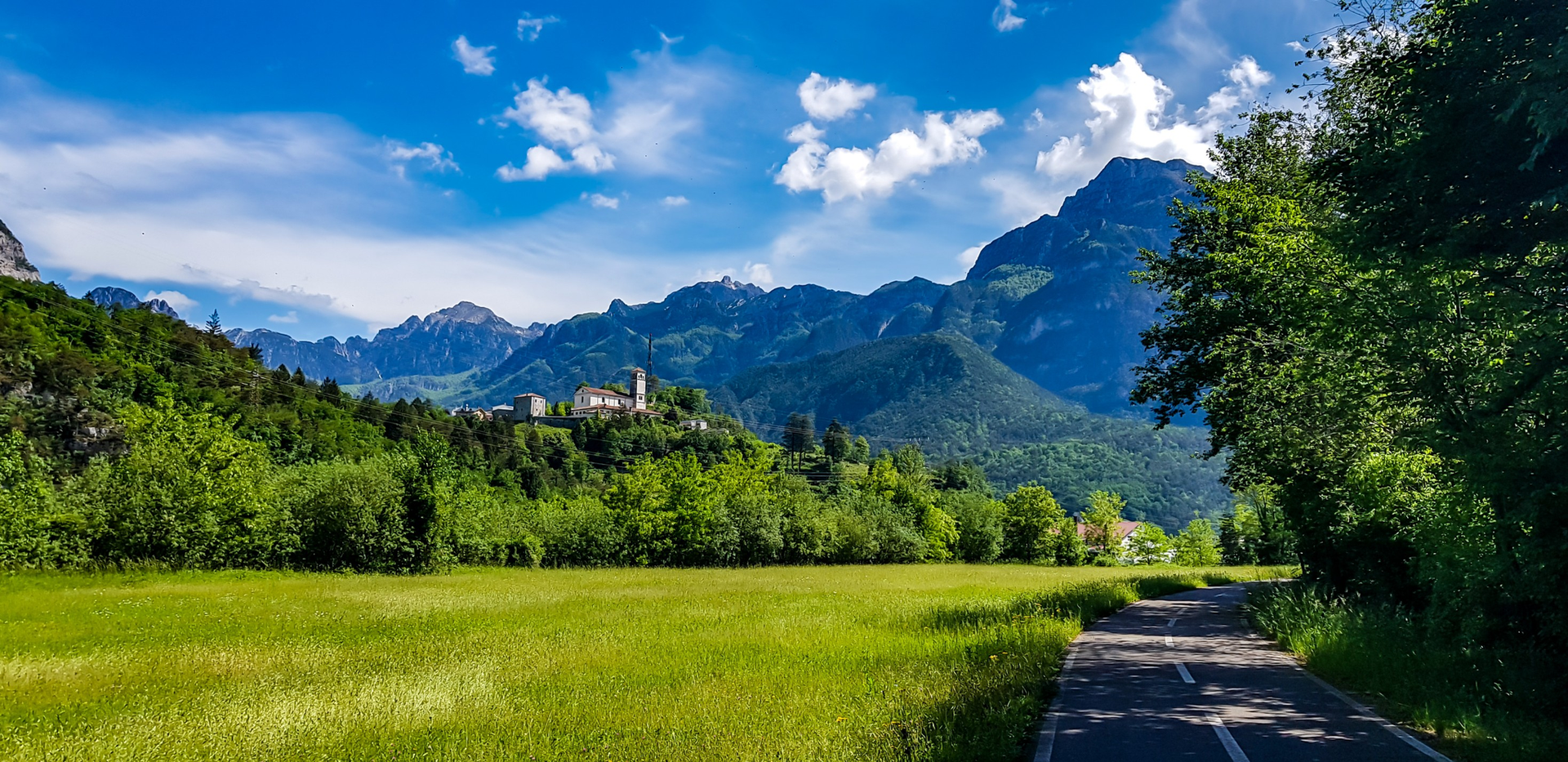
Friuli in its entirety – bike rides through plains, villages and waterscapes
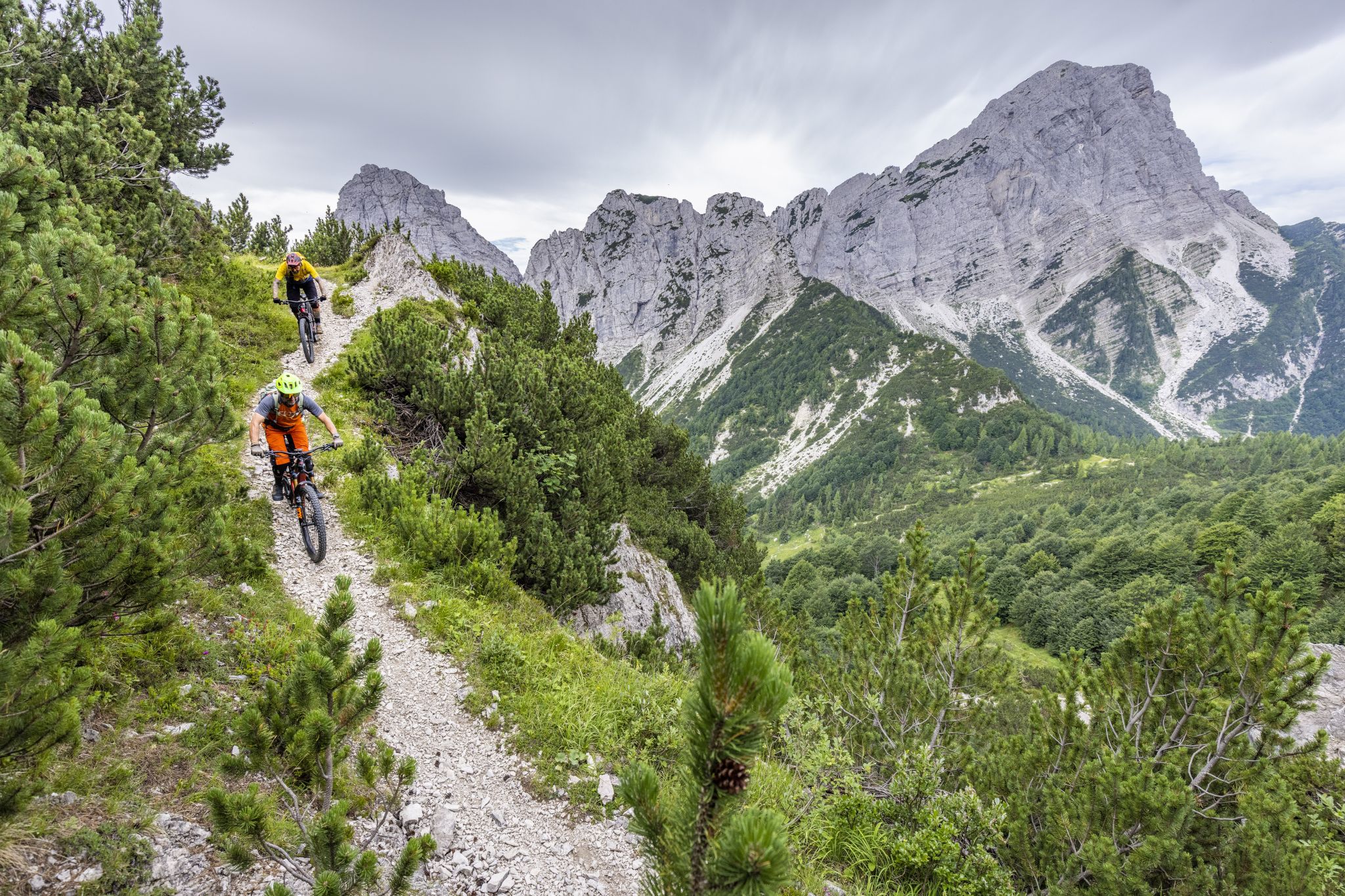
Friuli Trail Guide – the forgotten paradise in the Julian Alps
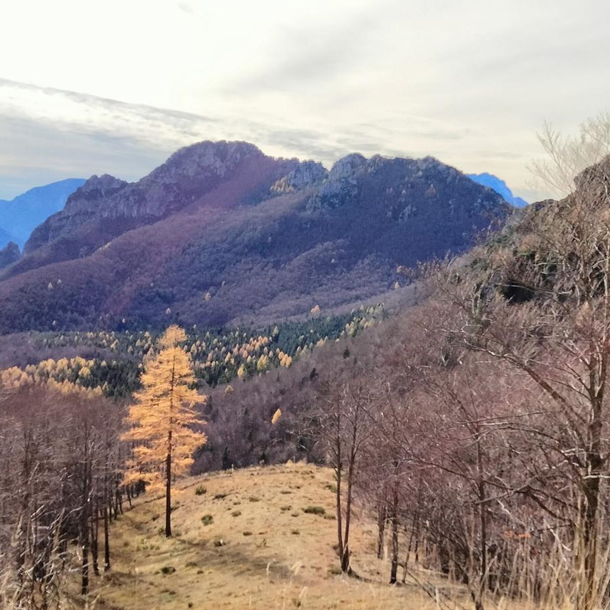
MTB Trails around Moggio Udinese
Road Cycling Routes around Moggio Udinese
Cycling around Moggio Udinese
Running Trails around Moggio Udinese
Gravel biking around Moggio Udinese

Mountain Hikes around Moggio Udinese


Tips from the Community

Rifugio Vualt. Excellently renovated bivouac with a stove, running water from the external fountain, large table with chairs, and a well-stocked pantry with pots and cutlery. Upstairs, 7 sleeping places with mattresses.
0
0

Here you can cool off wonderfully
0
0

The neighborhood has been almost completely uninhabited since the 1976 earthquake, though some houses are still inhabited. The village is accessible only by a path (on foot, a suitable motorcycle, or by mule), served by electricity and water; sometimes a helicopter is needed to transport supplies.
0
0
The Vualt refuge is a beautiful farmhouse located at 1168m. above sea level, excellently restored and used as a bivouac. Inside there is an economic stove and beds. Outside there is a water source.
0
0
Former war hospital in Val Alba. Placed to support the second front line on the long crest of Chiavals, Zuc dal Bor.
1
0
Cjasut dal Sior, a small shelter located at 1752m above sea level in a very panoramic position near Mount Vualt.
1
0


View of the three abandoned villages : Moggessa di Là, Moggessa di Quà and Stavoli
0
0
Frequently Asked Questions
How many hiking trails are available in Moggio Udinese, and what are their difficulty levels?
Moggio Udinese offers a wide selection of routes, with over 80 hiking trails to explore. Approximately 40 of these are considered moderate, while around 46 are more challenging, catering to experienced hikers.
Are there any hikes that explore the abandoned villages in Moggio Udinese?
Yes, a unique aspect of hiking here is the opportunity to visit ancient, abandoned villages. The CAI 418 trail through Moggessa villages is a notable difficult route that takes you through Moggessa di Qua and Moggessa di Là, offering a glimpse into the region's rural past.
Which trails offer the best panoramic views of the mountains?
For breathtaking panoramic views of the Carnic and Julian Alps, consider trails that ascend prominent peaks. The Monte Chiavals and Bianchi Bivouac loop, for instance, leads through mountainous terrain in the Val Alba Regional Natural Reserve, providing expansive vistas.
Are there any less challenging hikes suitable for families?
While many trails in Moggio Udinese are moderate to difficult, the region does offer scenic walks through diverse landscapes. For families looking for a less strenuous experience, consider exploring the lower sections of valleys or well-maintained paths within the beech forests, which provide beautiful natural surroundings without significant elevation gain. Always check the specific route details for suitability.
Can I bring my dog on the hiking trails in Moggio Udinese?
Generally, dogs are welcome on most hiking trails in Moggio Udinese. The diverse terrain, from dense forests to alpine pastures, offers plenty of opportunities for you and your canine companion to enjoy. However, it's always advisable to keep dogs on a leash, especially in nature reserves like Val Alba, and to respect local regulations regarding wildlife and livestock.
What kind of natural features or landmarks can I expect to see along the trails?
Moggio Udinese's trails are rich in natural beauty. You can encounter impressive mountain peaks like Grauzaria and Monte Chiavals, picturesque valleys shaped by the Fella River, and diverse ecosystems including beech forests and alpine pastures. Notable natural attractions nearby include the Cadramazzo Stream Waterfall and Lake Pramollo, which can be explored as part of your hiking adventure.
Are there any circular hiking routes in the area?
Yes, Moggio Udinese features several circular routes that allow you to start and end at the same point. A popular option is the Monte Vualt Loop Trail, which offers a moderate challenge within the Riserva Naturale Val Alba.
What do other hikers enjoy the most about hiking in Moggio Udinese?
The area is highly rated by the komoot community, with an average score of 4.5 stars from over 800 reviews. Hikers frequently praise the diverse and dramatic natural landscapes, the extensive network of well-maintained trails, and the unique opportunity to explore historical abandoned villages and panoramic mountain summits.
Are there mountain huts or bivouacs available for longer treks?
Yes, for those planning multi-day treks or needing a strategic rest point, the region provides facilities such as the Vualt refuge, a beautifully restored farmhouse, and the Cjasut dal Sior, a small shelter at 1752m offering panoramic views. The route From Dordolla to Cjasùt dal Sciôr (via CAI 422) is an example of a trail leading to such a shelter.
What is the best time of year to go hiking in Moggio Udinese?
The best time for hiking in Moggio Udinese is typically from spring to autumn. During these seasons, the weather is generally favorable, allowing for comfortable exploration of the diverse landscapes, from flower-rich alpine pastures to dense beech forests. Winter hiking is possible but requires appropriate gear and experience due to snow and potentially challenging conditions in higher elevations.
Are there any historical sites or points of interest along the trails?
Beyond natural beauty, many trails lead to historical points of interest. You might discover traces of war artifacts or even a former war hospital in Val Alba, which supported the second front line on the Chiavals and Zuc dal Bor crest. The abandoned villages themselves are significant historical sites, offering a poignant connection to the past.
Is public transport available to access hiking trailheads in Moggio Udinese?
While Moggio Udinese is well-regarded for its natural beauty, public transport options to specific trailheads can be limited. It's often recommended to use a car for greater flexibility in reaching starting points. However, some routes might be accessible from Moggio Udinese town, which has some public transport connections. Always check local bus schedules in advance for specific routes.
Most popular routes around Moggio Udinese
Most popular attractions around Moggio Udinese

Get inspired with the komoot mobile app


Explore more
Browse the best Hikes in other regions.
