The best road cycling routes around Sufers
4.8
(113)
3,422
riders
27
rides
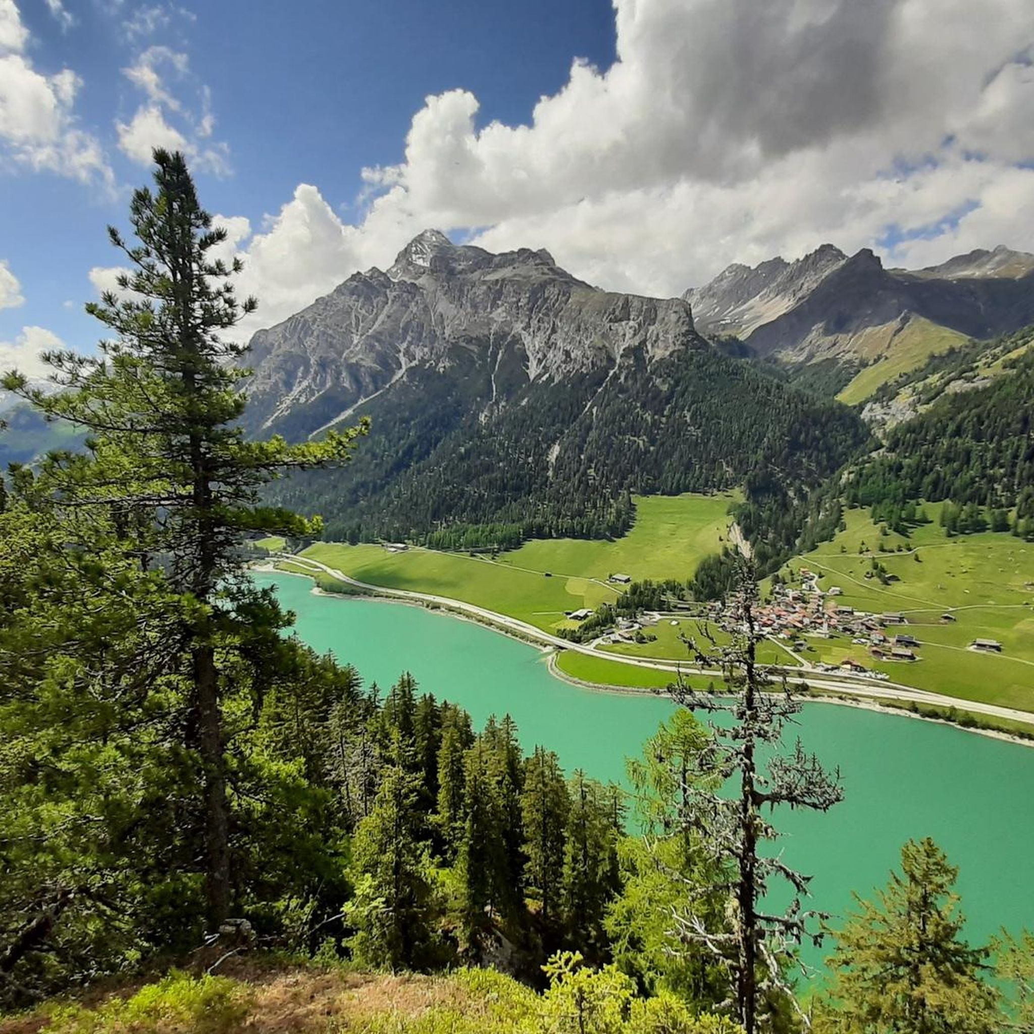
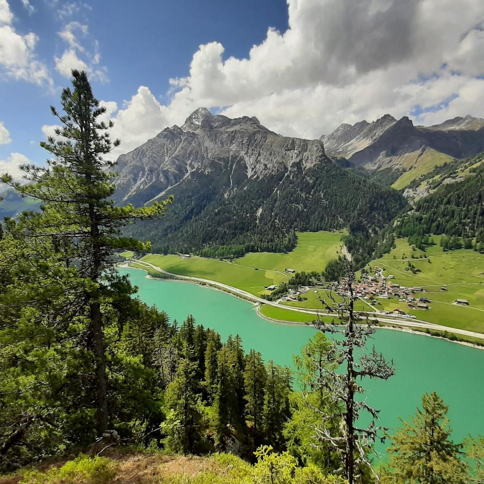
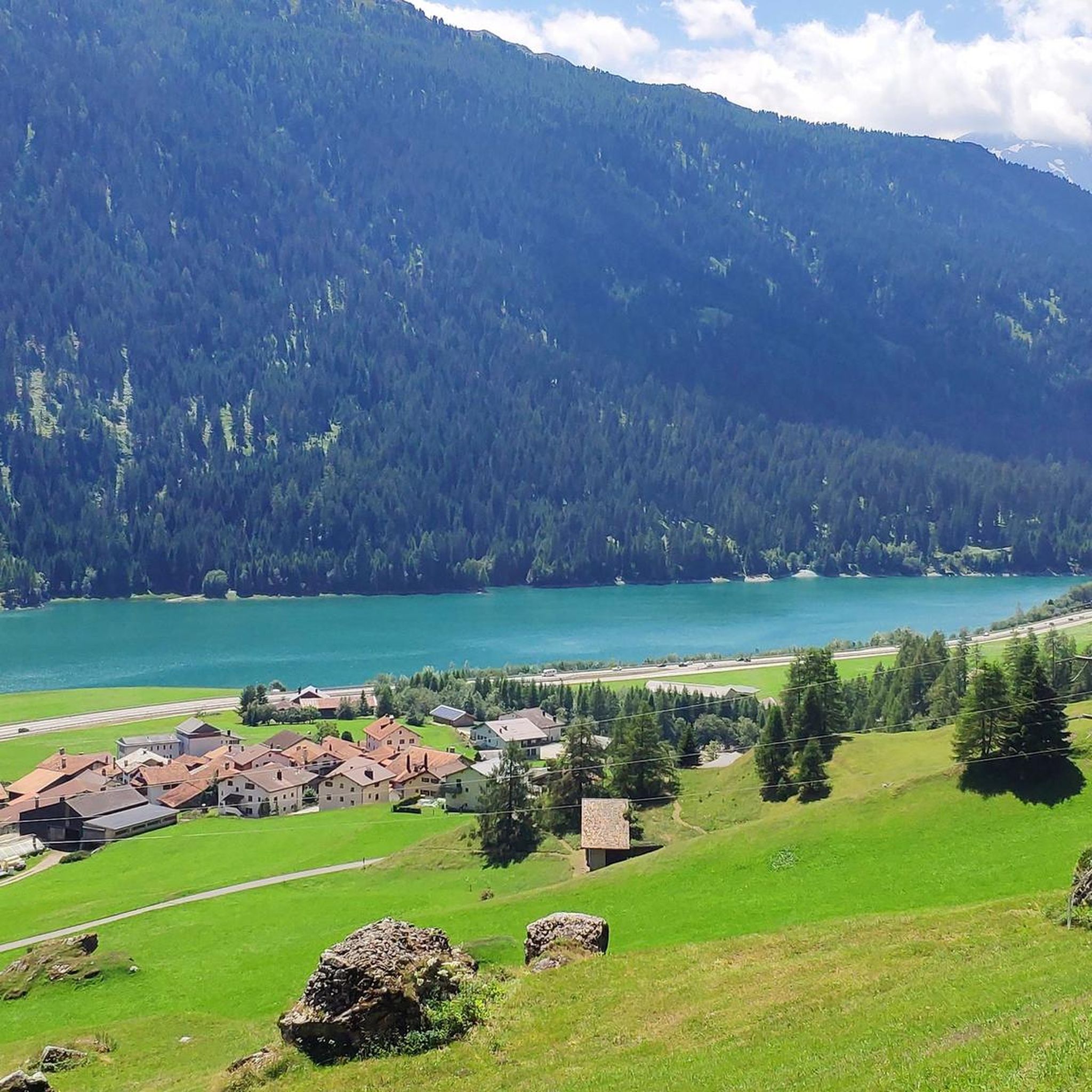
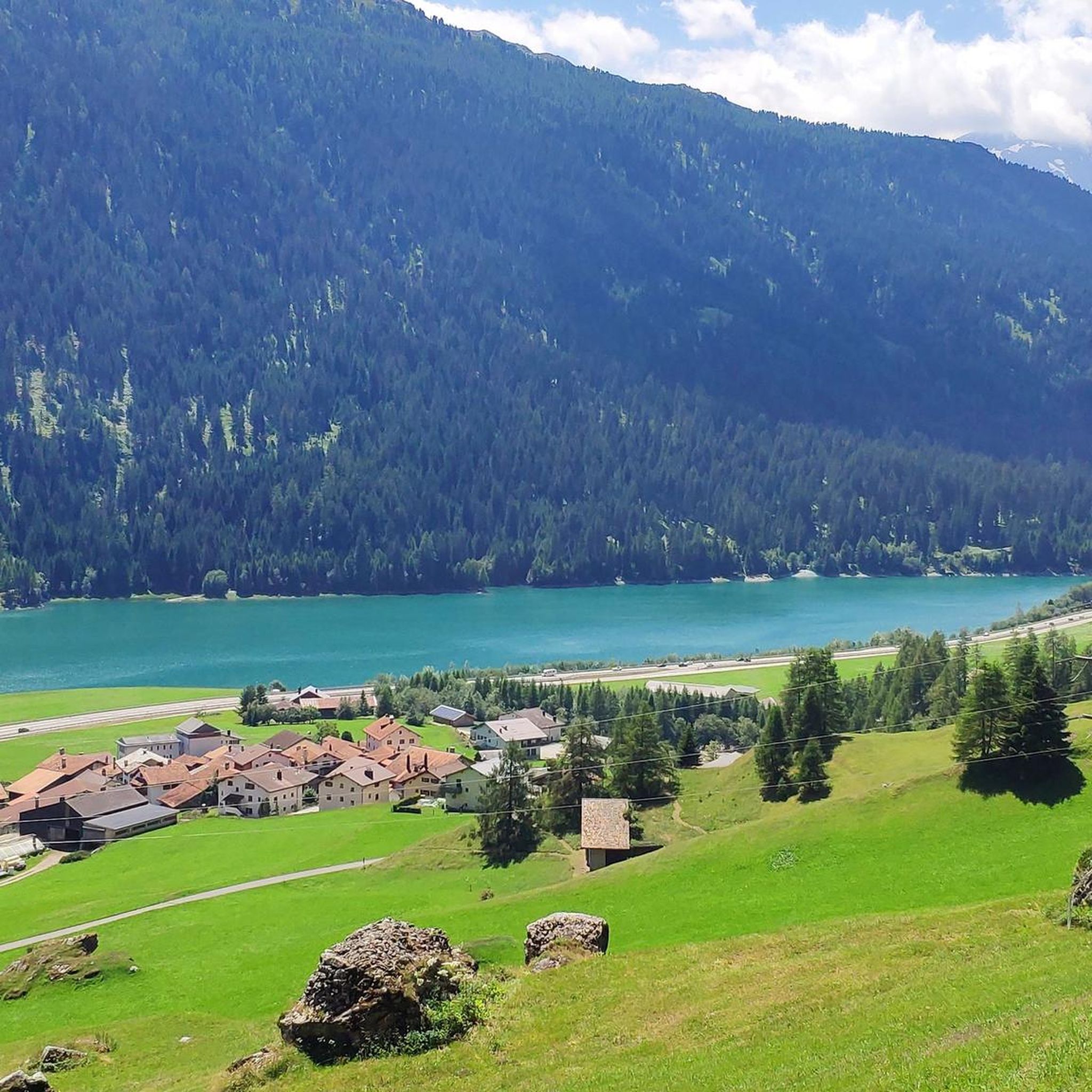
Road cycling around Sufers is characterized by its alpine setting, featuring significant elevation changes and routes that traverse mountain passes and valleys. The region includes high-altitude lakes and winding roads, offering challenging climbs and descents. Road cyclists can expect a landscape shaped by rugged mountains and deep valleys, with routes often following natural watercourses.
Best road cycling routes around Sufers
- The most popular road cycling route is Lake Montespluga – Splügen loop from Sufers, a 55.4 miles (89.2 km)…
Last updated: October 8, 2026
4.7
(26)
627
riders
127km
07:06
2,640m
2,640m
Hard road ride. Very good fitness required. Mostly well-paved surfaces and easy to ride.
4.8
(14)
768
riders
89.2km
05:47
2,660m
2,660m
Hard road ride. Very good fitness required. Some segments of this route may be unpaved and difficult to ride.

4.3
(9)
267
riders
66.2km
03:55
1,580m
1,580m
Hard road ride. Very good fitness required. Mostly well-paved surfaces and easy to ride.
4.6
(11)
230
riders
32.1km
02:05
980m
980m
Hard road ride. Very good fitness required. Mostly well-paved surfaces and easy to ride.
4.4
(12)
228
riders
23.7km
01:41
860m
860m
Moderate road ride. Good fitness required. Mostly well-paved surfaces and easy to ride.
Get access to more routes and recommendations from other explorers.
Already have an account?
Our route recommendations are based on thousands of hikes, rides, and runs completed by other people on komoot.
Start today with a free account
Your next adventure awaits.

Tips from the Community


An intact village center and a turbulent history.
0
0

Very good alternative to the main road, completely paved.
0
0

Since, as is often the case, the pass signs are completely covered with stickers, taking photos in front of them is no longer fun. Alternatively, you can use the boundary stone to take a "proof photo." On the other side of the road, there's another, smaller stone with the elevation: 2113 m.
0
0
A beautiful old town that invites you to take a break: So, first an espresso, then move on!
0
0
Absolutely impressive serpentine section! Be careful in the unlit tunnels!
0
0
Driving through these tunnels is a real highlight, but lights and a safety vest are recommended, as the tunnels are not lit!
1
0
51 switchbacks down into the valley. All numbered! It's simply a joy. But be careful in the unlit tunnels and galleries.
0
0
Frequently Asked Questions
How many road cycling routes are available around Sufers?
There are over 30 road cycling routes in the Sufers region, offering a variety of experiences from moderate climbs to challenging alpine ascents. These routes are highly rated by the komoot community, with an average score of 4.9 stars.
Are there any easy or beginner-friendly road cycling routes in Sufers?
While many routes in Sufers feature significant elevation changes, there are a few options suitable for beginners or those looking for a less strenuous ride. The region offers 2 easy routes and 11 moderate routes, which can be a good starting point for less experienced road cyclists.
What are some challenging road cycling routes for experienced riders around Sufers?
Experienced road cyclists will find plenty of challenging options, with 17 difficult routes available. A notable difficult route is the Sufnersee – Juf Village loop from Sufers, a 43.3-mile (69.8 km) path with sustained climbs and descents through alpine landscapes, passing by Sufnersee lake. Another demanding option is the Via Mala Gorge near Thusis – Lake Montespluga loop from Sufers, which covers 85 miles (136.8 km) with over 3,500 meters of elevation gain.
Are there circular road cycling routes available in Sufers?
Yes, many of the road cycling routes around Sufers are designed as loops. For example, the popular Lake Montespluga – Splügen loop from Sufers is a 55.4-mile (89.2 km) trail that features substantial elevation gain through mountainous terrain. Another option is the Splügen – Hinterrhein Village loop from Splügen, a 34.4-mile (55.3 km) route.
What kind of scenery can I expect on road cycling routes in Sufers?
Road cycling in Sufers is characterized by its stunning alpine setting. You can expect routes that traverse high mountain passes and deep valleys, often following natural watercourses and passing by high-altitude lakes like Sufnersee and Montespluga. The landscape is shaped by rugged mountains, offering dramatic views throughout your ride.
What are some interesting landmarks or natural attractions to see along the road cycling routes?
Along the routes, you can encounter several natural attractions. The Roffla Gorge is a notable highlight, offering impressive views. You might also pass by various waterfalls, such as the Catino Waterfall or the Roffla Gorge Waterfall. For more information on waterfalls, you can explore the Waterfalls around Sufers guide.
Are there places to stop for refreshments or shelter along the routes?
Yes, the region offers some huts and kiosks where you can take a break. For instance, you might find places like the Kiosk Peil or the Cufercal Hut (SAC). For a comprehensive list of options, refer to the Huts and Cabins around Sufers guide.
What is the best time of year for road cycling in Sufers?
Given Sufers' alpine location, the best time for road cycling is typically during the warmer months, from late spring through early autumn (roughly June to September). During this period, mountain passes are generally clear of snow, and weather conditions are more favorable for cycling, though alpine weather can change rapidly.
What do other road cyclists enjoy most about road cycling in Sufers?
The komoot community highly rates road cycling in Sufers, with an average score of 4.9 stars from over 70 reviews. Cyclists often praise the challenging alpine ascents, the dramatic mountain and valley scenery, and the well-maintained roads that lead through high-altitude lakes and passes.
Is there parking available near the road cycling routes in Sufers?
Sufers, being a smaller alpine community, typically offers public parking options in or near the village center, which can serve as a starting point for many routes. Specific parking availability can vary, so it's advisable to check local signage upon arrival or use navigation apps for designated parking areas.
Are there any moderate road cycling routes that offer a good balance of challenge and scenery?
Yes, there are 11 moderate routes that provide a balanced experience. The Montespluga – Splügen loop from Montespluga is a good example, covering 14.7 miles (23.7 km) and leading through mountain passes and valleys, often completed in about 1 hour 40 minutes. This route offers significant elevation without being overly strenuous for intermediate riders.
Most popular attractions around Sufers

Get inspired with the komoot mobile app


Explore more
Browse the best Road cycling routes in other regions.
