The best gravel rides around Sufers
4.6
(16)
64
riders
4
rides
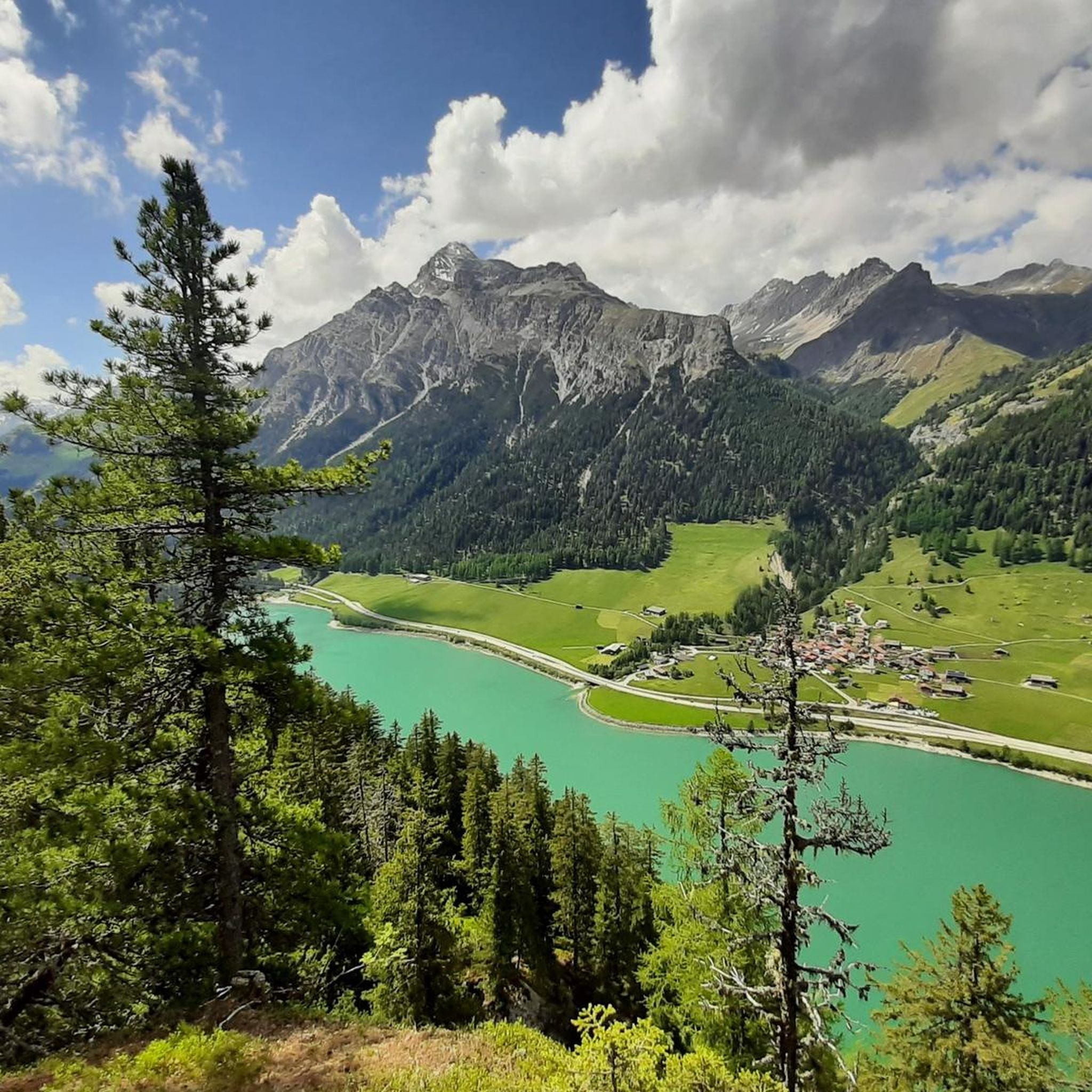
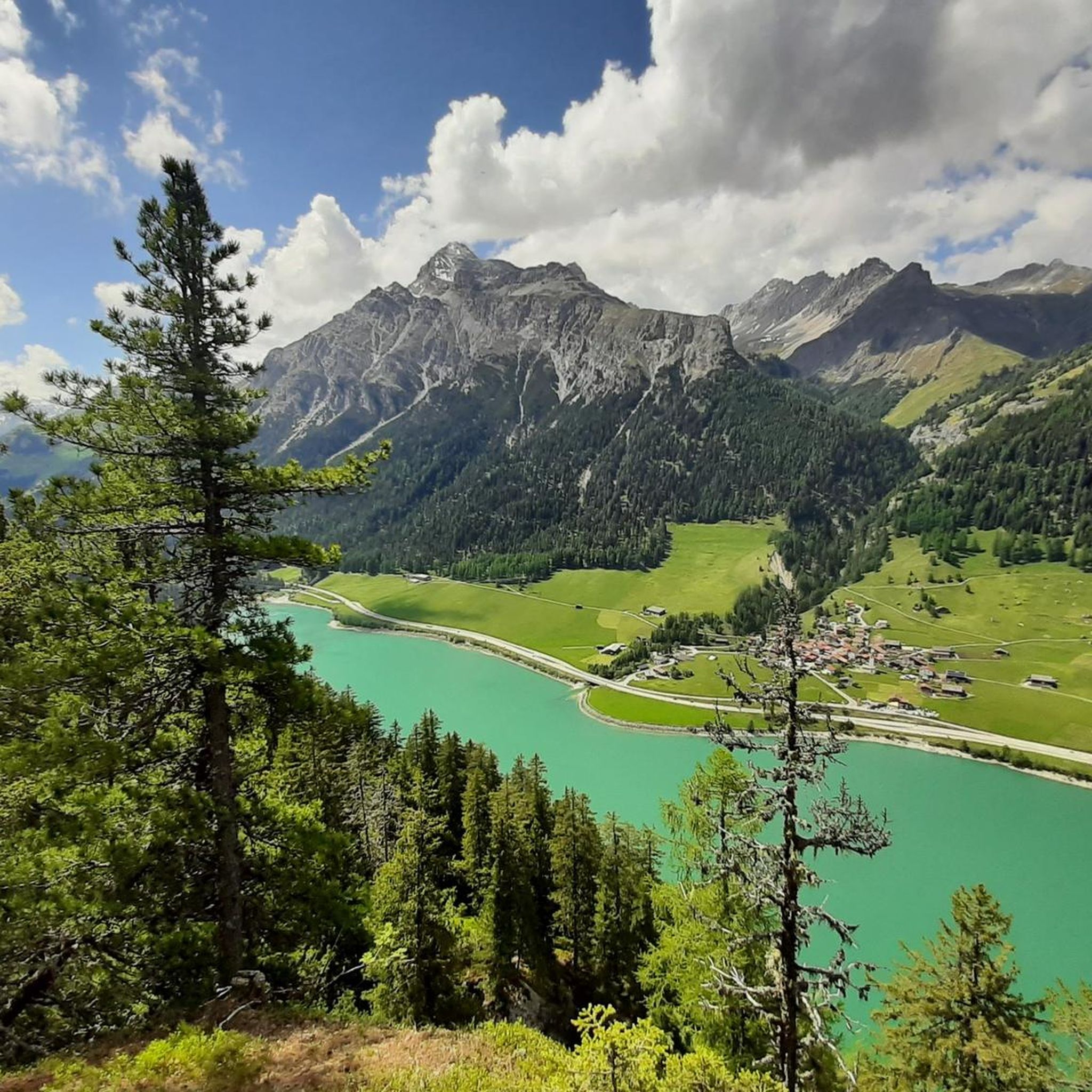
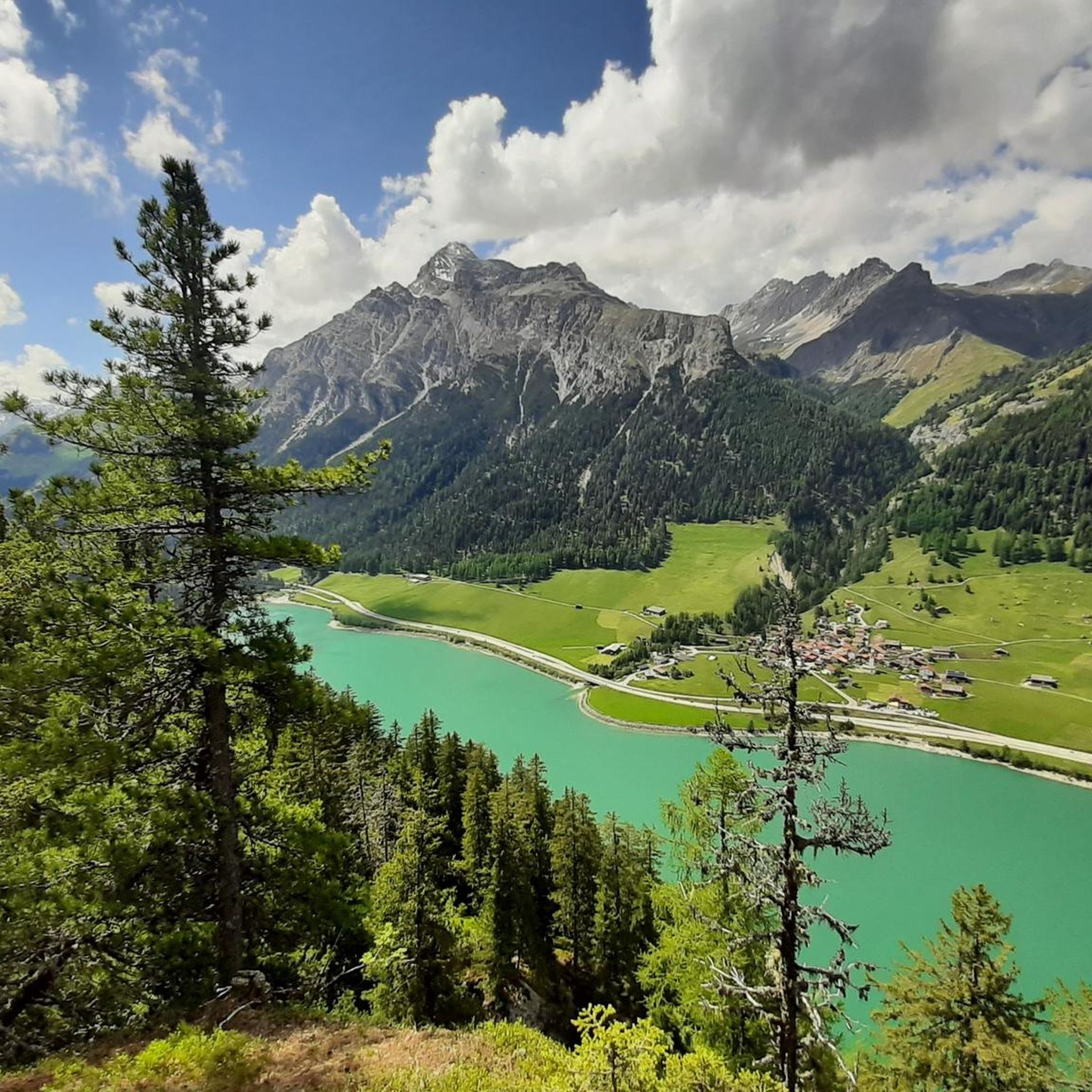
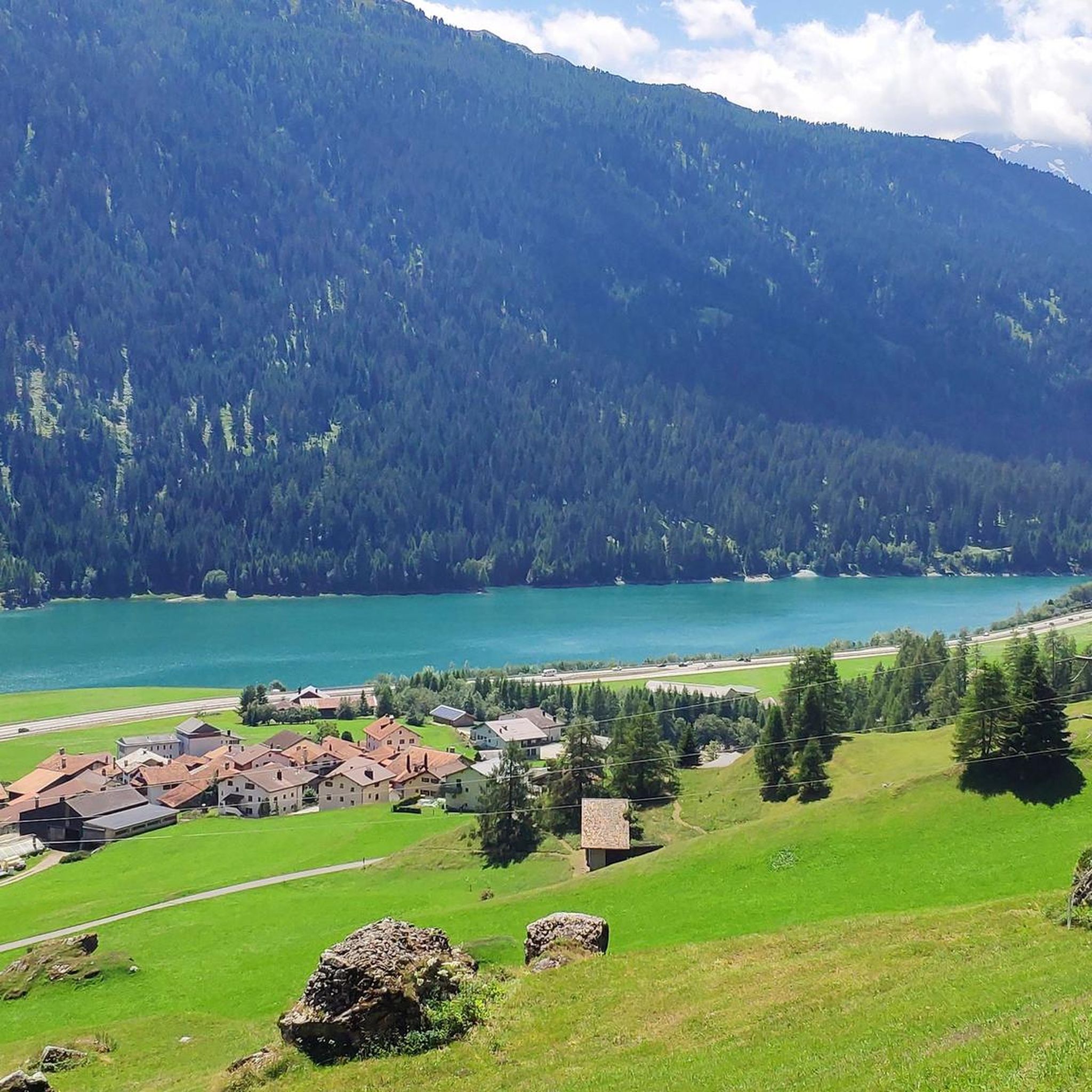
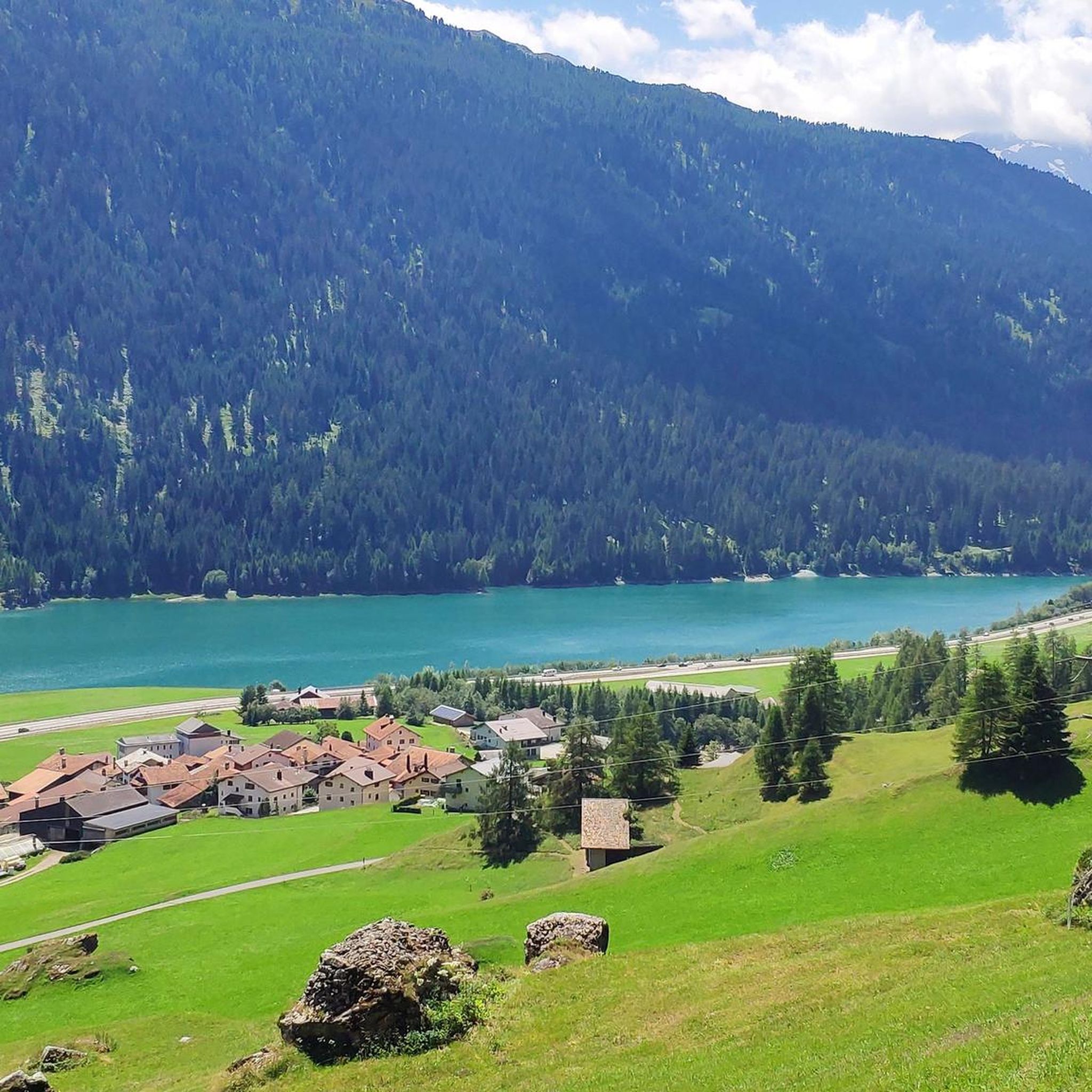
Gravel biking around Sufers offers routes through the Swiss Alps, characterized by dramatic mountain landscapes, lush forests, and deep gorges. The region, situated at 1,428 meters above sea level, provides access to Lake Sufnersee and varied terrain including asphalt, gravel paths, and short trail sections. This area is known for its Alpine scenery, with routes often featuring significant elevation changes and natural sections along rivers.
Best gravel bike trails around Sufers
- The most popular gravel bike trail is Runda Lai…
Last updated: October 7, 2026
4.7
(6)
37
riders
37.6km
04:13
1,400m
1,410m
Hard gravel ride. Very good fitness required. Mostly paved surfaces. Suitable for all skill levels.
4.8
(8)
15
riders
24.8km
02:14
260m
260m
Hard gravel ride. Good fitness required. You may need to push your bike for some segments of this route.

4.5
(2)
4
riders
38.0km
03:58
1,770m
1,770m
Hard gravel ride. Very good fitness required. Mostly paved surfaces. Suitable for all skill levels.
4.3
(3)
8
riders
16.8km
01:34
680m
680m
Hard gravel ride. Very good fitness required. Mostly paved surfaces. Suitable for all skill levels.
Our route recommendations are based on thousands of hikes, rides, and runs completed by other people on komoot.
Start today with a free account
Your next adventure awaits.
Tips from the Community

Absolutely impressive serpentine section! Be careful in the unlit tunnels!
0
0
Driving through these tunnels is a real highlight, but lights and a safety vest are recommended, as the tunnels are not lit!
1
0

beautiful area to enjoy
4
0
a beautiful serpentine road built into the rock face
3
0

Road that leads from Campodolcino to Pianazzo with challenging and panoramic bends.
0
0

Pianazzo Waterfall Starting from the town of Scalcoggia, on the left side of the Madesimo tunnel, you reach Pianazzo, the seat of the town hall. Along the old carriage road, about 1.3 km long and with a height difference of 150 meters, it is a walkway reserved for pedestrians and bicycles. It is illuminated and has some stopping points surrounded by the green of nature. The Pianazzo Waterfall, with its 180 meters of drop, is the highest waterfall in the valley, which is also fed by the waters of the Scalcoggia stream. The arrival of the promenade comes out directly on the viewpoint. Text / Source: Regionale lombardia.it https://www.in-lombardia.it/it/cascata-di-pianazzo
10
0
Pianazzo Waterfall Starting from Scalcoggia on the left side of the Madesimo tunnel you arrive in Pianazzo, home to the town hall. Following the old carriage road, with a length of about 1.3 km and a difference in altitude of 150 meters, it is a walk reserved for pedestrians and bicycles. This is illuminated and has some rest areas immersed in the greenery of nature. The Pianazzo Waterfall, with its 180 meters of drop, is the highest waterfall in the valley, also fed by the waters of the Scalcoggia stream. The arrival of the walk comes out right on the belvedere. Text / Quelle: Regionale lombardia.it https://www.in-lombardia.it/it/cascata-di-pianazzo
12
0

Beautiful highlight of the crossing from Sufers to Andeer (or vice versa). Hardly any traffic, great panorama including a world view of the Piz Tambo.
2
0
Frequently Asked Questions
What is the typical terrain like on gravel bike trails around Sufers?
The gravel bike trails in Sufers offer a varied terrain, characteristic of the Swiss Alps. You can expect a mix of asphalt, gravel paths, and short trail sections. Routes often feature significant elevation changes, traversing forests and mountains, with natural sections along rivers and views of the Sufnersee. The region's alpine environment provides demanding terrain, sometimes requiring good fitness.
How challenging are the gravel bike routes in Sufers?
The gravel bike routes in Sufers are generally considered challenging. All four routes listed in this guide are rated as 'difficult', featuring significant elevation gains. For example, the Runda Lai da Vons route includes over 1,400 meters of elevation gain. Riders should be prepared for demanding climbs and descents.
What natural features or landmarks can I expect to see while gravel biking in Sufers?
While gravel biking in Sufers, you'll encounter stunning alpine landscapes, including the serene Sufnersee (Sufers Lake) and the majestic peaks of the Adula Alps. Notable natural features include the dramatic Roffla Gorge, which is a spectacular natural sight. Many routes also offer views of the Hinterrhein river and lead through the preserved beauty of the Beverin Nature Park.
Are there any waterfalls along the gravel bike routes in Sufers?
Yes, the region around Sufers features several waterfalls. The Roffla Gorge itself is home to the impressive Roffla Gorge Waterfall. Other waterfalls in the vicinity include the Catino Waterfall and a waterfall in Safiental.
Are there any circular gravel bike routes in Sufers?
Yes, Sufers offers several circular gravel bike routes. Popular options include the Runda Lai da Vons, which is a 37.6 km loop, and the Splügen - Splügen Gravel Bike loop, covering 24.8 km. Another local favorite is the Lai da Vons – Sufers Village loop from Sufers, a 38 km trail.
What is the best time of year for gravel biking in Sufers?
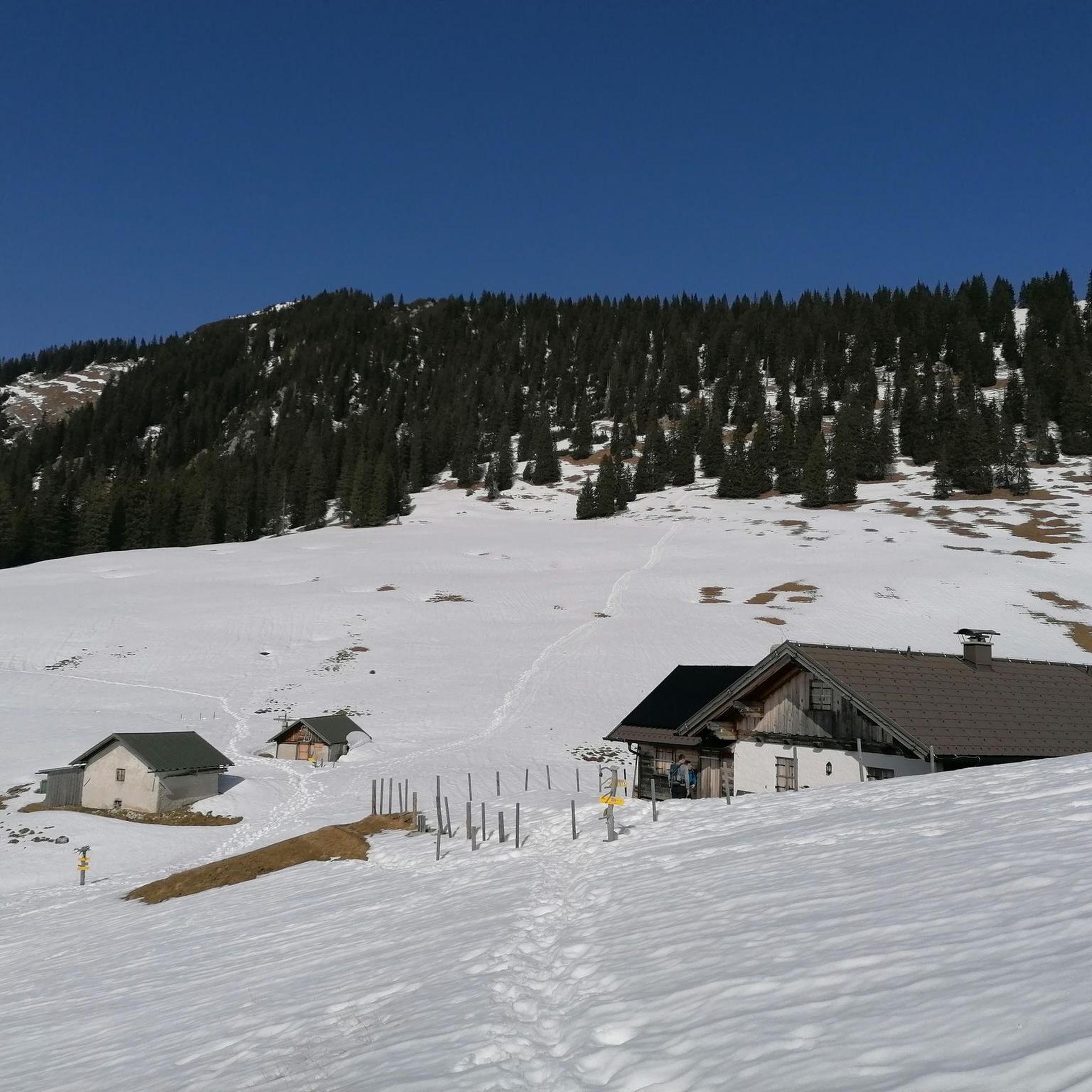
The best time for gravel biking in Sufers is typically during the warmer months, from late spring to early autumn. This period offers more favorable weather conditions and ensures that higher alpine passes and trails are free of snow. The region's alpine nature means winters can be harsh, making many routes inaccessible or significantly more challenging due to snow and ice.
Is there parking available near the gravel bike trails in Sufers?
Yes, parking is generally available in and around Sufers, particularly in the village itself and near popular starting points for trails. Given Sufers' role as a base for outdoor activities, you can usually find designated parking areas. It's advisable to check local signage for any specific parking regulations or fees.
Can I reach the gravel bike trails in Sufers by public transport?
Sufers is accessible by public transport, primarily via bus services connecting to larger transport hubs in the Grisons region. While public transport can get you to Sufers, transporting bikes might require specific arrangements or checking the policies of the local bus operators. Some services may have limited capacity for bikes, especially during peak times.
Are there places to eat or stay near the gravel bike trails in Sufers?
Sufers and the nearby town of Splügen offer various options for accommodation and dining. You can find guesthouses, hotels, and restaurants catering to visitors. These establishments provide convenient places to refuel and rest after a day of gravel biking. For example, the Gasthaus Turrahus is a hut in the wider region that could serve as a stop.
What do other gravel bikers say about the trails in Sufers?
The gravel biking experience in Sufers is highly rated by the komoot community, with an average score of 4.9 stars from more than 10 reviews. Riders often praise the stunning Alpine scenery, the serene Lake Sufnersee, and the impressive gorges like Viamala and Roffla. The diverse terrain and challenging nature of the routes are also frequently highlighted as positive aspects.
Are there any cultural or historical sights near the gravel bike trails?
Beyond the natural beauty, the region offers historical points of interest. The Evangelical Reformed Church in Innerferrera is a notable religious building. The nearby town of Splügen is a historic mountain pass settlement worth exploring. Additionally, the Glaser Ridge and Safierberg Pass Summit offer historical significance as mountain crossings.
Most popular attractions around Sufers

Get inspired with the komoot mobile app


Explore more
Browse the best Gravel rides in other regions.
