The best road cycling routes around Steinhöfel
4.6
(411)
4,187
riders
135
rides
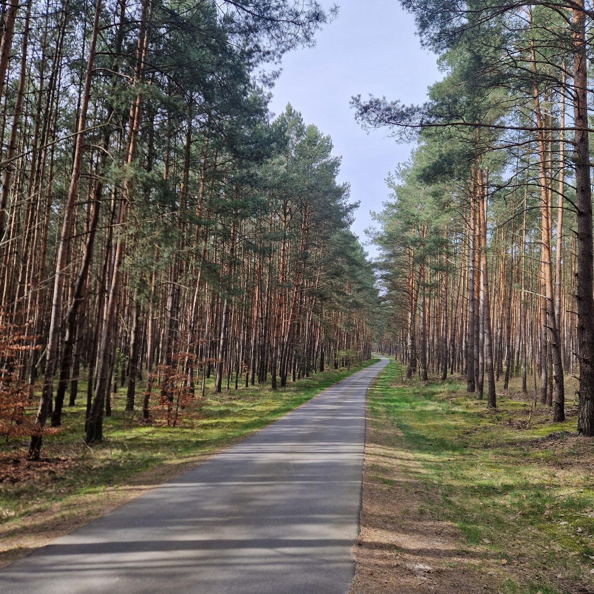
Road cycling around Steinhöfel offers a network of routes through a predominantly flat to gently undulating landscape. The region is characterized by extensive forests, open fields, and waterways, providing smooth asphalt paths suitable for road bikes. Elevations are generally low, with most routes featuring minimal climbs, making it ideal for easy road bike routes Steinhöfel.
Best road cycling routes around Steinhöfel
- The most popular road cycling route is Kagel–Kienbaum Cycle Path – Forest cycle path with smooth asphalt loop from…
Last updated: July 4, 2026
4.7
(3)
80
riders
Easy road ride. Great for any fitness level. Mostly well-paved surfaces and easy to ride.
61
riders
42.2km
01:47
180m
180m
Easy road ride. Great for any fitness level. Mostly well-paved surfaces and easy to ride.

Sign up for free
4.8
(4)
37
riders
37.2km
01:30
130m
130m
Easy road ride. Great for any fitness level. Mostly well-paved surfaces and easy to ride.
5.0
(1)
33
riders
45.1km
01:49
150m
150m
Easy road ride. Great for any fitness level. Mostly well-paved surfaces and easy to ride.
5.0
(3)
20
riders
50.0km
02:09
140m
140m
Moderate road ride. Good fitness required. Some segments of this route may be unpaved and difficult to ride.
Get access to more routes and recommendations from other explorers.
Sign up for free
Already have an account?
Our route recommendations are based on thousands of hikes, rides, and runs completed by other people on komoot.
Start today with a free account
Your next adventure awaits.
Login or Signup
Tips from the Community

Apart from the often lowered barriers, driving here is good.
0
0

The road was resurfaced in 2023 (https://www.amt-odervorland.de/fileadmin/user_upload/Fahrbahnerneuerung_zwischen_Berkenbrueck_und_Falkenberg_Landesbetrieb_Strassenwesen_Brandenburg.pdf) and is now very easy to drive on.
0
0

Easy-to-use asphalted footpath/cycle path next to the road.
1
0
Beautiful and easy to drive route.
0
0
A beautiful stretch of the Oderbruch Railway Cycle Path. Almost identical to the old railway line. More information: http://www.achim-bartoschek.de/bahn_bb.htm#bb11 and https://de.wikipedia.org/wiki/Bahnstrecke_F%C3%BCrstenwalde%E2%80%93Wriezen
0
0
A beautiful stretch of the Oderbruch Railway Cycle Path. Almost identical to the old railway line. More information: http://www.achim-bartoschek.de/bahn_bb.htm#bb11 and https://de.wikipedia.org/wiki/Bahnstrecke_F%C3%BCrstenwalde%E2%80%93Wriezen
0
0

As of May 31, 2025, construction work/asphalt is missing. Gravel-suitable
1
0

Undulating section, beautiful view, good surface.
0
0
Frequently Asked Questions
How many road cycling routes are available around Steinhöfel?
Steinhöfel offers a wide selection of road cycling routes, with over 140 tours available. These include 44 easy routes, 97 moderate routes, and 5 more challenging options, catering to various skill levels.
Are there road cycling routes suitable for beginners in Steinhöfel?
Yes, Steinhöfel is ideal for beginners. The region features a predominantly flat to gently undulating landscape with smooth asphalt paths and minimal climbs. Routes like the Kagel–Kienbaum Cycle Path offer an easy, well-maintained forest cycle path experience.
What is the typical elevation gain on road cycling routes in Steinhöfel?
Road cycling routes around Steinhöfel generally feature low elevation gains. The landscape is mostly flat or gently undulating, making it suitable for riders who prefer less strenuous climbs. For example, the Bridge Over the Canal loop from Kienbaum has an elevation gain of approximately 127 meters over 37 kilometers.
Are there any circular road bike routes in the Steinhöfel area?
Yes, many road cycling routes in Steinhöfel are designed as loops, allowing you to start and end at the same point. Popular circular routes include the Kienbaum–Neue Mühle Cycle Path loop from Kienbaum and the Oderbruchbahn Cycle Path loop from Madlitz-Wilmersdorf, offering scenic journeys through the local landscape.
What kind of scenery can I expect on road cycling routes around Steinhöfel?
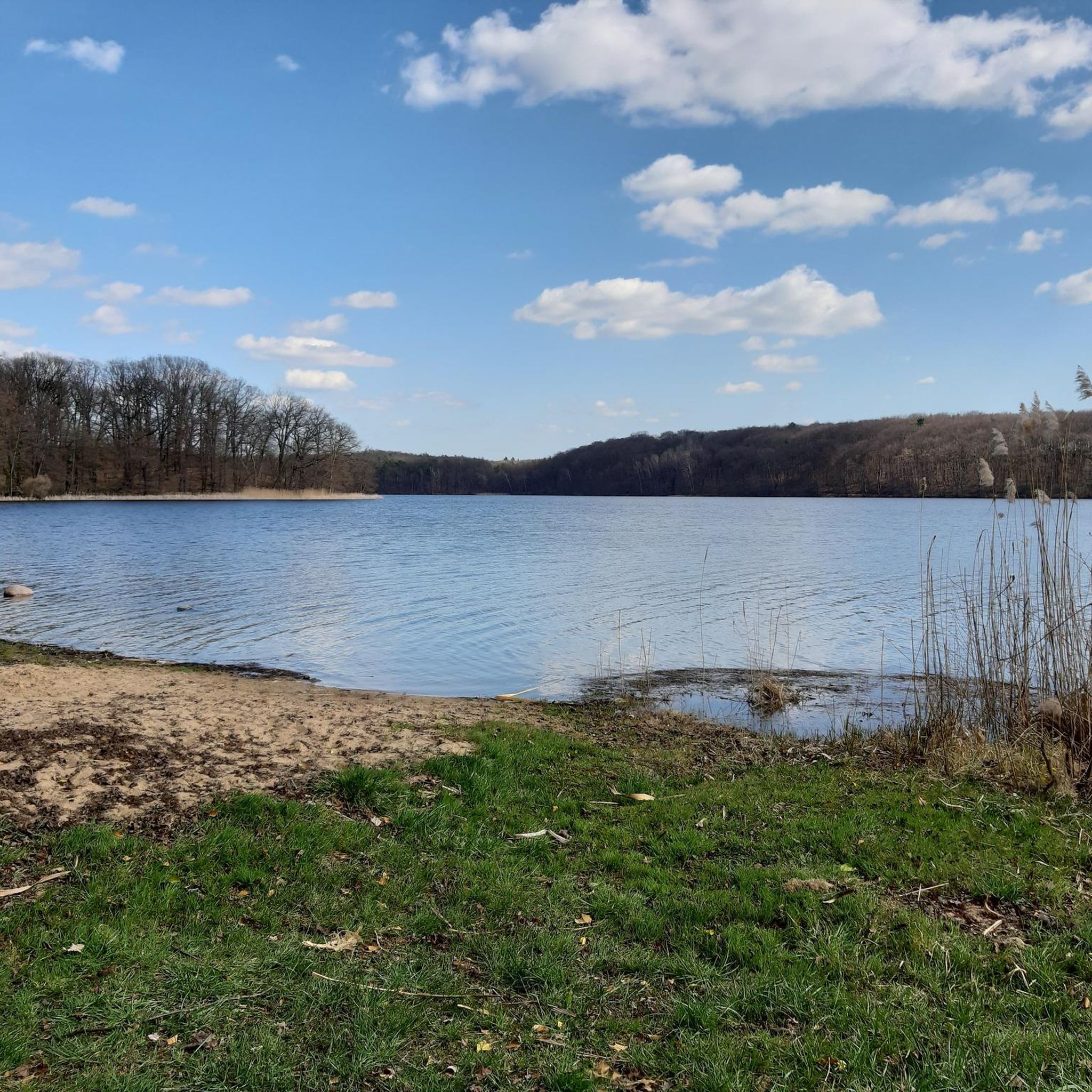
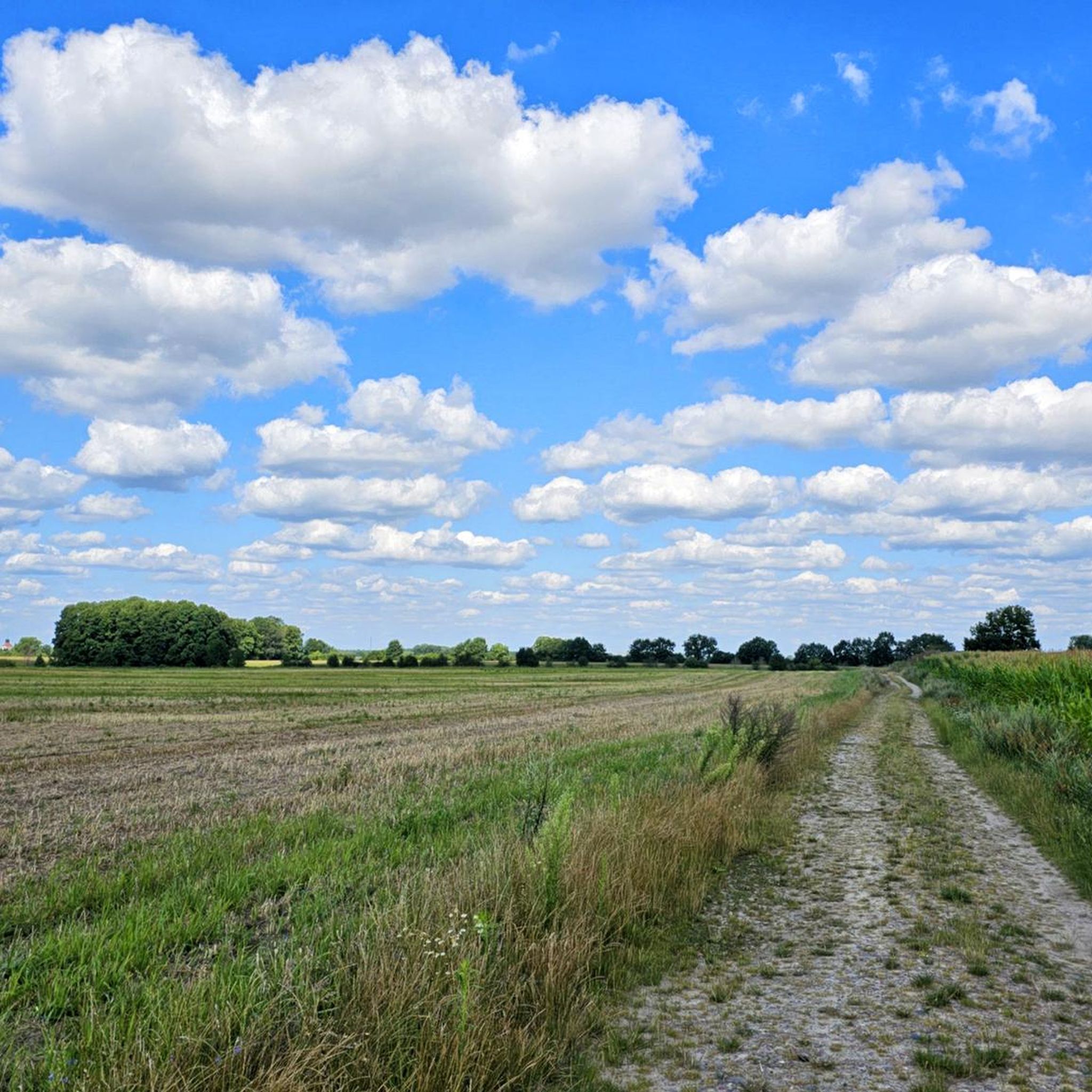
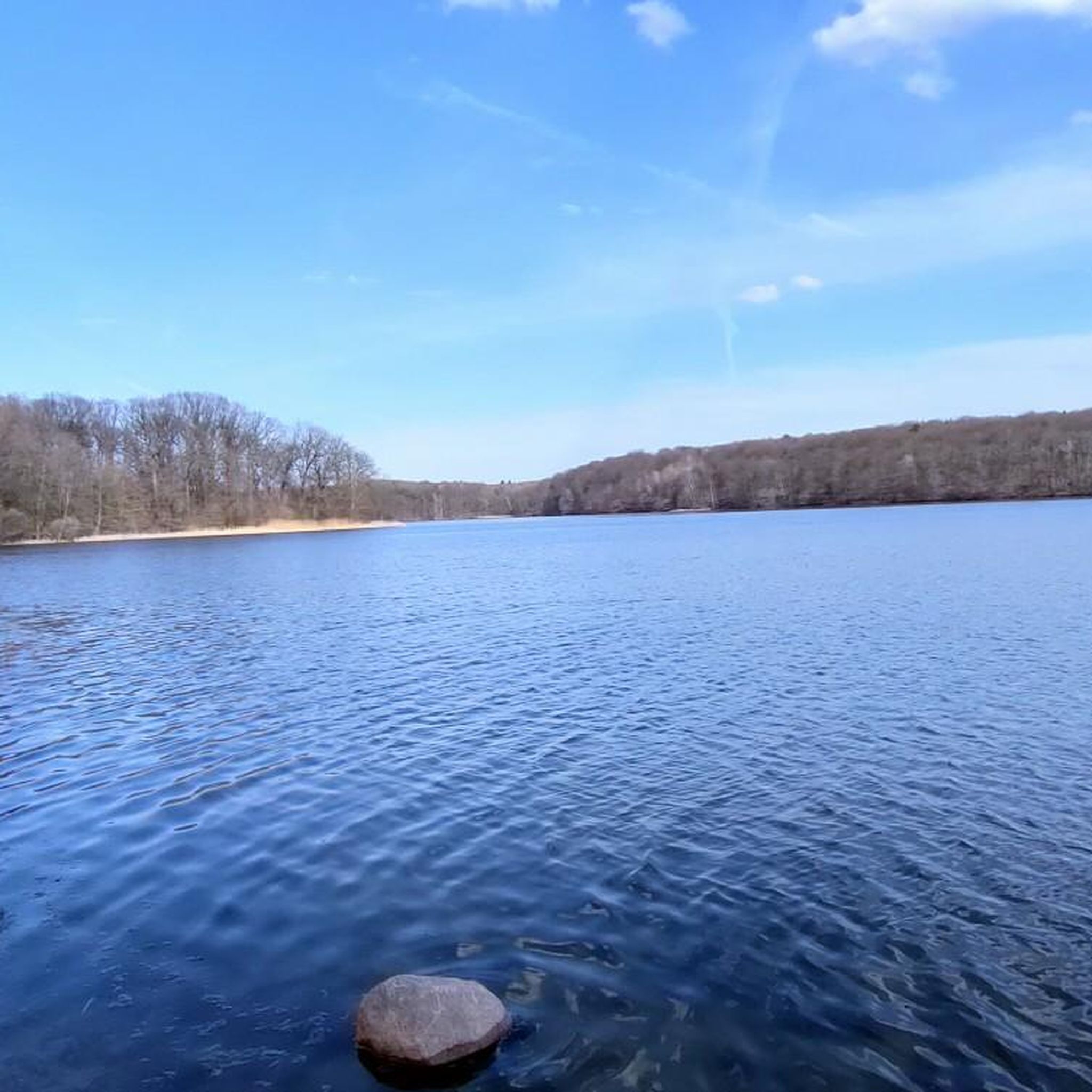
The routes in Steinhöfel traverse diverse and picturesque scenery, characterized by extensive forests, open fields, and numerous waterways. You'll often find smooth asphalt paths winding through these natural settings, providing a pleasant and varied cycling experience.
What do other road cyclists say about the routes in Steinhöfel?
The road cycling routes in Steinhöfel are highly regarded by the komoot community, holding an average rating of 4.6 stars from over 380 reviews. Cyclists often praise the smooth asphalt, the tranquil forest paths, and the overall scenic beauty of the region.
Are there any interesting landmarks or natural attractions to see along the road cycling routes?
Yes, you can discover several natural attractions near the routes. Notable highlights include the expansive Scharmützelsee, the serene Weißer See (Märkische Schweiz), and the historic Stone Table in the Rauen Hills. Many routes offer views of these and other natural monuments.
Can I find cafes or places to stop for refreshments along the road cycling routes?
While specific cafes are not listed for every route, the region's popularity suggests that you will find opportunities for refreshments in the villages and towns you pass through. Planning your route with komoot allows you to identify potential stops and points of interest beforehand.
What is the best time of year for road cycling in Steinhöfel?
The region's gentle terrain and extensive network of paths make it enjoyable for road cycling through much of the year. Spring and autumn offer pleasant temperatures and beautiful scenery, while summer provides longer daylight hours. Even in winter, many paths remain accessible, though conditions may vary.
Are there advanced road cycling routes for experienced riders in Steinhöfel?
While Steinhöfel is known for its generally easy to moderate terrain, there are a few routes that offer a bit more challenge. With 5 difficult routes available, experienced riders can find options that provide longer distances or slightly more varied elevation profiles within the region's characteristic landscape.
How can I download GPX files for road cycling routes in Steinhöfel?
All routes available on komoot, including those around Steinhöfel, can be easily downloaded as GPX files. Simply navigate to your chosen route page on komoot, and you'll find the option to download the GPX track for use with your navigation device.
Are there less crowded road cycling routes in Steinhöfel?
Steinhöfel offers a wide network of routes, and while some popular paths might see more traffic, the abundance of options through forests and open fields means you can often find quieter alternatives. Exploring some of the less-trafficked local roads or smaller loops can provide a more secluded cycling experience.
Most popular attractions around Steinhöfel

Get inspired with the komoot mobile app


Explore more
Browse the best Road cycling routes in other regions.
