The best cycling routes around Sörgenloch
4.6
(4942)
22,709
riders
414
rides
Touring cycling routes around Sörgenloch traverse a landscape characterized by gentle river valleys, such as the Selztal, and rolling agricultural lands. The region features moderate elevation changes, with some routes offering views from higher ground. Water features, including local ponds, are integrated into several routes, providing varied scenery. The terrain is generally suitable for touring bicycles, with a mix of dedicated cycle paths and quiet country roads.
Best touring cycling routes around Sörgenloch
- The most popular touring cycling route is…
Last updated: June 24, 2026
4.6
(89)
271
riders
30.4km
01:54
260m
260m
Moderate bike ride. Good fitness required. Mostly paved surfaces. Suitable for all skill levels.
4.8
(57)
186
riders
64.3km
03:53
210m
210m
Moderate bike ride. Good fitness required. Mostly paved surfaces. Suitable for all skill levels.

Sign up for free
4.6
(29)
137
riders
74.7km
04:38
440m
440m
Hard bike ride. Good fitness required. You may need to push your bike for some segments of this route.
4.7
(19)
160
riders
18.6km
01:08
90m
90m
Hard bike ride. Great for any fitness level. You may need to push your bike for some segments of this route.
4.8
(44)
127
riders
28.8km
01:50
220m
220m
Moderate bike ride. Good fitness required. Mostly paved surfaces. Suitable for all skill levels.
Get access to more routes and recommendations from other explorers.
Sign up for free
Already have an account?
Our route recommendations are based on thousands of hikes, rides, and runs completed by other people on komoot.
Start today with a free account
Your next adventure awaits.
Login or Signup
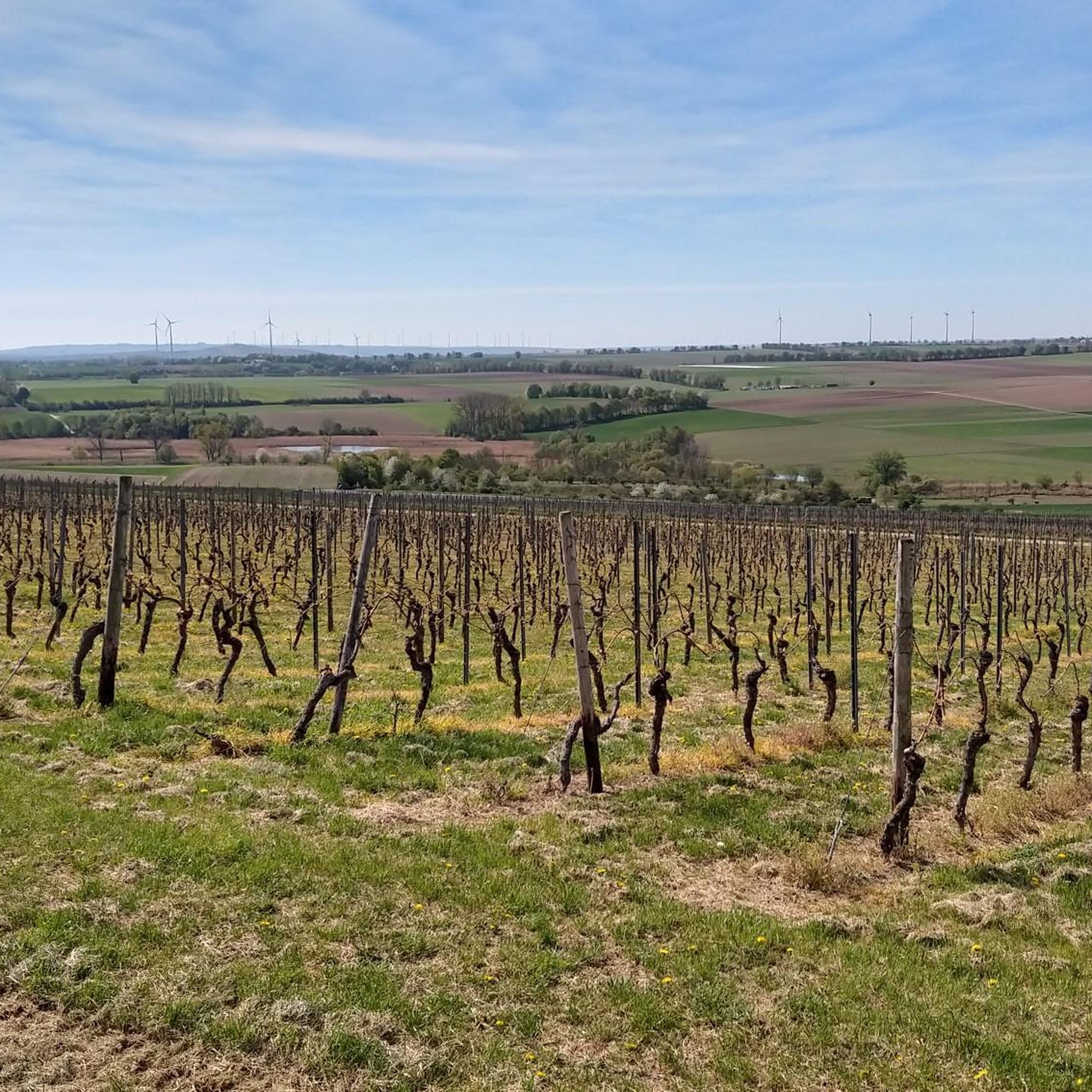
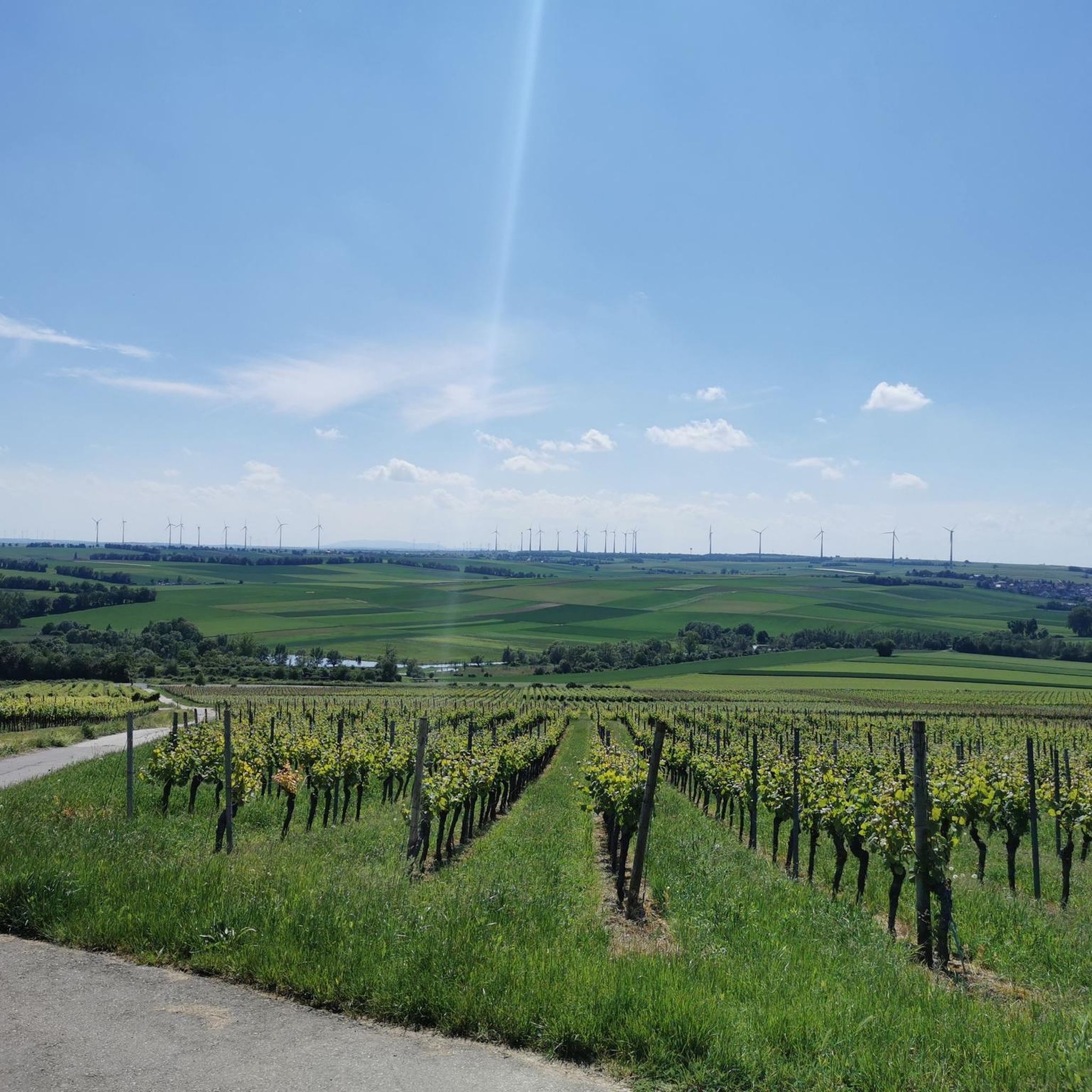
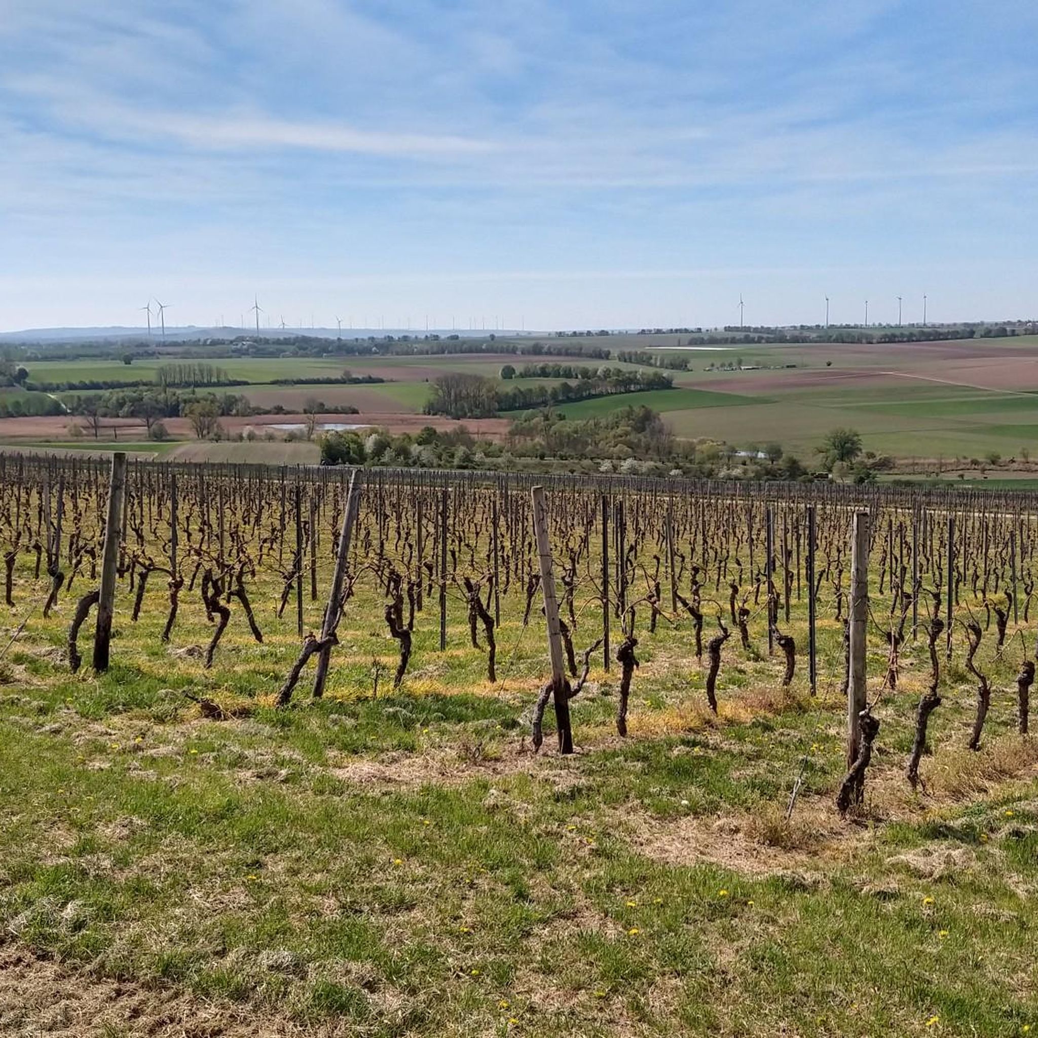
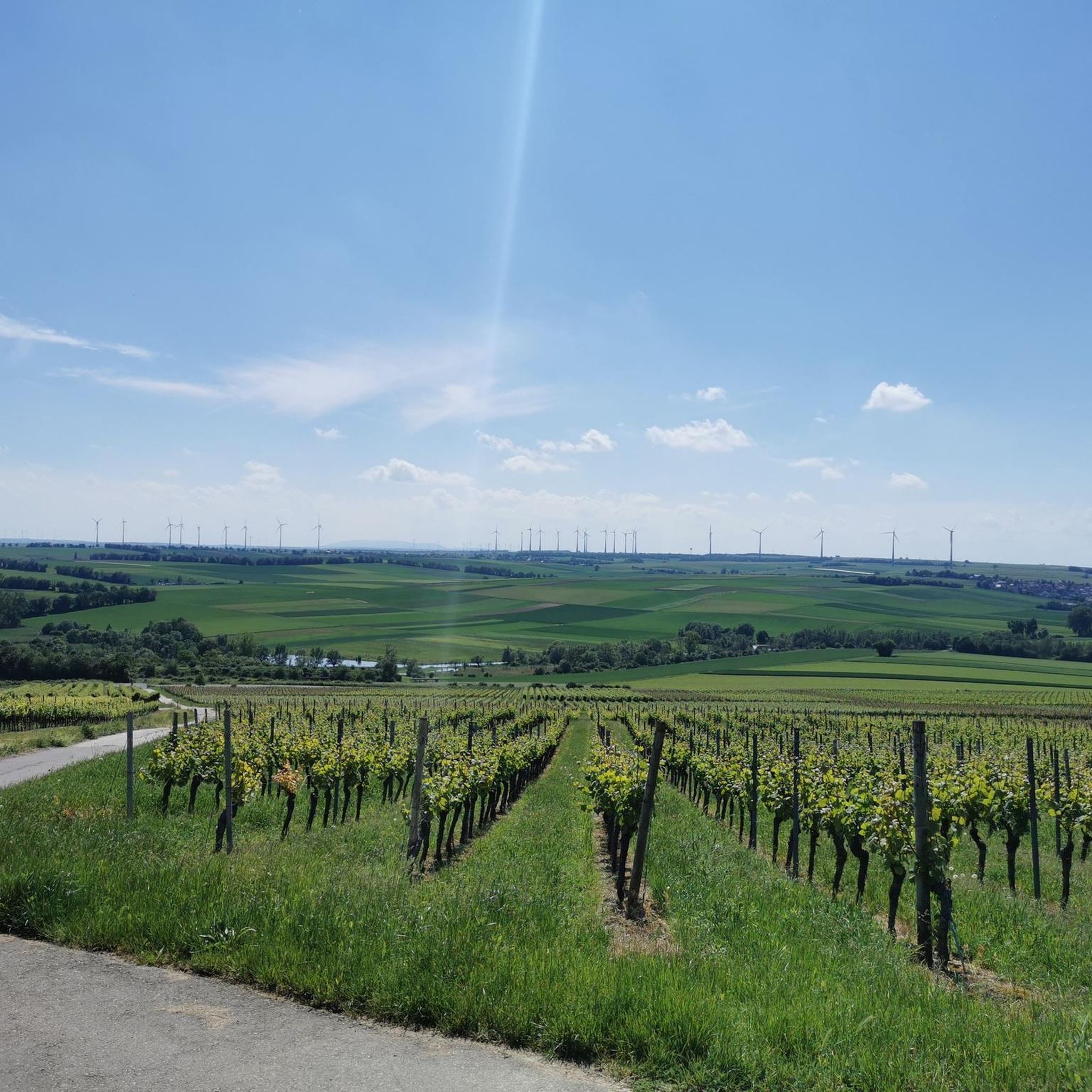
Tips from the Community


Water buffalo before Nieder Olm.
0
0

The cows are only temporarily here to keep the vegetation down.
1
0

A wonderful place, great view of the water and a rush down to Nierstein to a nice cafe on the market square. A piece of vacation
0
0

In May, there is a wonderful frog concert here
0
0

The Hindenburgbrücke was an important railway bridge over the Rhine, connecting Rüdesheim am Rhein with Bingen am Rhein (Kempten district). It was built between 1913 and 1915 and solemnly opened in August 1915 during World War I. With a total length of over a kilometer, it was an imposing technical structure that primarily served to close the strategically important railway connection between the Ruhr area and the Saarland and to relieve the Rhine routes. The structure was designed for double tracks and featured combined steel and stone arch constructions. A distinctive feature were the widely visible, castle-like bridge towers at the ends, which were architecturally adapted to the castles of the region. During World War II, the bridge became a strategic target and was finally blown up by German troops in March 1945 to stop the advance of the US Army; additional air raids almost completely destroyed the remaining parts. After the war, the Hindenburgbrücke – unlike many other bridges – was not rebuilt, as transport routes had changed and the priority lay with other Rhine crossings. Today, only the striking stone approach bridges and the bridge towers remain as "silent witnesses" on the Rhine bank and on the island of Rüdesheimer Aue. These ruins are listed as historical monuments and are part of the UNESCO World Heritage Upper Middle Rhine Valley, with the remaining piers in the shipping channel being blown up in the 1960s for navigational safety reasons.
6
0

beautiful cycle path through the romantic Selztal valley
0
0
Frequently Asked Questions
How many touring cycling routes are available around Sörgenloch?
There are over 400 touring cycling routes in the Sörgenloch region, offering a wide variety of options for different skill levels and preferences. The komoot community has rated these routes highly, with an average score of 4.5 stars.
Are there easy or family-friendly touring cycling routes around Sörgenloch?
Yes, Sörgenloch offers a good selection of easy routes suitable for families and beginners. With over 150 easy routes, you can find paths that traverse gentle river valleys and dedicated cycle paths. A good option for a shorter, scenic ride is the Hahnheimer Bruch – Pond Near Nieder-Olm loop from Nieder Olm, which is 18.6 km long and passes through natural areas and past water features.
What kind of terrain can I expect on touring cycling routes in Sörgenloch?
The Sörgenloch region is characterized by gentle river valleys, such as the Selztal, and rolling agricultural lands. You'll encounter moderate elevation changes, with some routes offering views from higher ground. The terrain is generally suitable for touring bicycles, featuring a mix of dedicated cycle paths and quiet country roads.
Are there any circular touring cycling routes in Sörgenloch?
Many of the touring cycling routes around Sörgenloch are designed as loops, allowing you to start and end at the same point. For example, the popular Selztal Cycle Path – View of the Niederwalddenkmal loop from Nieder Olm is a 64.4 km circular route that follows a designated cycle path.
What are some interesting natural sights or landmarks to see along the touring cycling routes?
The routes often integrate water features like local ponds and offer views from rolling hills. You can explore various natural highlights such as the Mühlbachaue Saulheim or the Rohrwiesen Wetland Habitat. For scenic viewpoints, consider visiting Zornheim Ruhkreuz or the View from Brudersberg – Rheinhessen’s Most Beautiful Wine View.
What do other touring cyclists enjoy most about cycling in Sörgenloch?
The komoot community rates the touring cycling routes around Sörgenloch very highly, with an average of 4.5 stars from over 4,300 reviews. Cyclists frequently praise the varied terrain, the well-maintained cycle paths, and the scenic beauty of the river valleys and agricultural landscapes.
Are there any longer or more challenging touring cycling routes for experienced riders?
Yes, for experienced touring cyclists seeking a challenge, there are 82 difficult routes available. An example is the Pond Near Nieder-Olm – Alzey Castle loop from Nieder Olm, a challenging 74.8 km path that explores varied terrain and leads towards Alzey Castle. Another demanding option is the Selztal Cycle Path – View of Burg Stahleck loop from Nieder Olm, which covers nearly 95 km.
What is the best time of year for touring cycling in Sörgenloch?
Given the region's agricultural landscape and moderate climate, spring through autumn generally offers the best conditions for touring cycling in Sörgenloch. The vineyards and fields are particularly beautiful during these seasons, and the weather is usually pleasant for longer rides.
Are there routes that follow the Selztal Cycle Path?
Yes, the Selztal is a prominent feature of the region, and several touring cycling routes incorporate sections of the Selztal Cycle Path. A popular option is the Selztal Cycle Path – View of the Niederwalddenkmal loop from Nieder Olm, which utilizes this designated cycle path.
Can I find routes that pass by ponds or other water features?
Many routes in Sörgenloch integrate water features into their scenery. For instance, the Pond Near Nieder-Olm – Cycle Path Near Saulheim loop from Nieder Olm is a moderate 28.8 km route that passes by a pond, offering varied views.
Most popular routes around Sörgenloch
Most popular attractions around Sörgenloch

Get inspired with the komoot mobile app


Explore more
Browse the best Cycling routes in other regions.
