The best road cycling routes around Gagliole
4.6
(49)
2,906
riders
131
rides
Road cycling around Gagliole features a landscape characterized by rolling hills and challenging climbs, offering diverse terrain for road cyclists. The region includes notable passes and scenic viewpoints, with routes often traversing through historic areas and past natural features like lakes. The varied topography provides opportunities for both moderate and difficult road cycling experiences.
Best road cycling routes around Gagliole
- The most popular road cycling route is Passo Cornello – Fonte delle Mattinate loop from Castelraimondo-Camerino, a 53.6 miles…
Last updated: October 11, 2026
5.0
(1)
60
riders
84.6km
04:15
1,360m
1,360m
Hard road ride. Very good fitness required. Mostly well-paved surfaces and easy to ride.
36
riders
98.9km
05:09
1,750m
1,750m
Hard road ride. Very good fitness required. Mostly well-paved surfaces and easy to ride.

32
riders
78.8km
03:41
860m
860m
Moderate road ride. Good fitness required. Mostly well-paved surfaces and easy to ride.
30
riders
60.4km
03:00
900m
900m
Hard road ride. Very good fitness required. Mostly well-paved surfaces and easy to ride.
25
riders
42.8km
02:37
1,030m
1,030m
Hard road ride. Very good fitness required. Mostly well-paved surfaces and easy to ride.
Get access to more routes and recommendations from other explorers.
Already have an account?
Our route recommendations are based on thousands of hikes, rides, and runs completed by other people on komoot.
Start today with a free account
Your next adventure awaits.

Tips from the Community

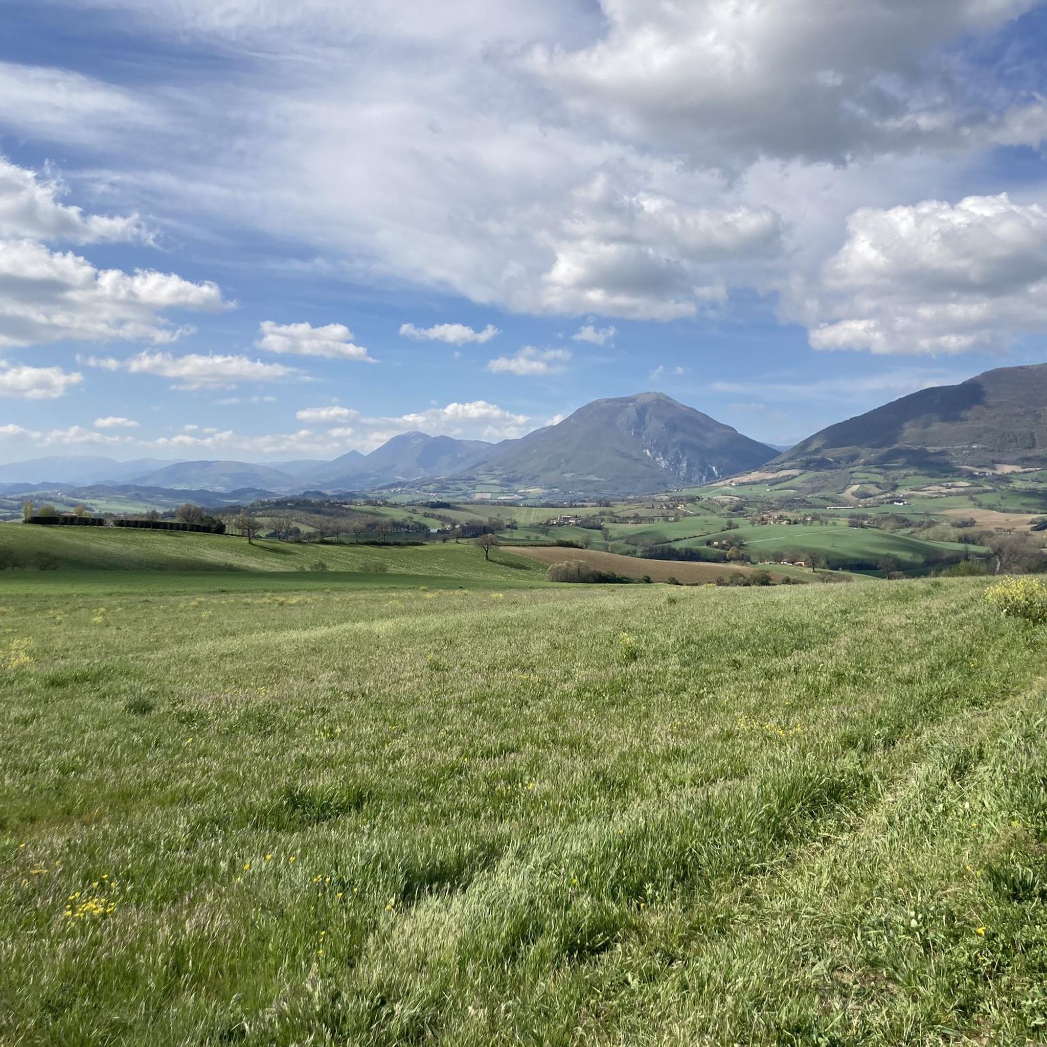
Spectacular mountain accessible by road bike with climbs from four sides Braccano Castel San Pietro (Elcito) Frontale, Poggio San Vicino to obtain the Monte San Vicino Brevet
2
0

beautiful to admire and photograph
1
0

The climb is long with regular gradients.
15
0

This is basically where the climb to Lake Fiastra begins. Shortly after this fork, I chose to turn left, about 500 meters/1 km, because it allows us to reach the lake from a side that allows us to enjoy almost the entire basin from a different perspective than the tourist one. The climb is challenging, but we would be rewarded with the beautiful view that awaits us above the lake.
2
0

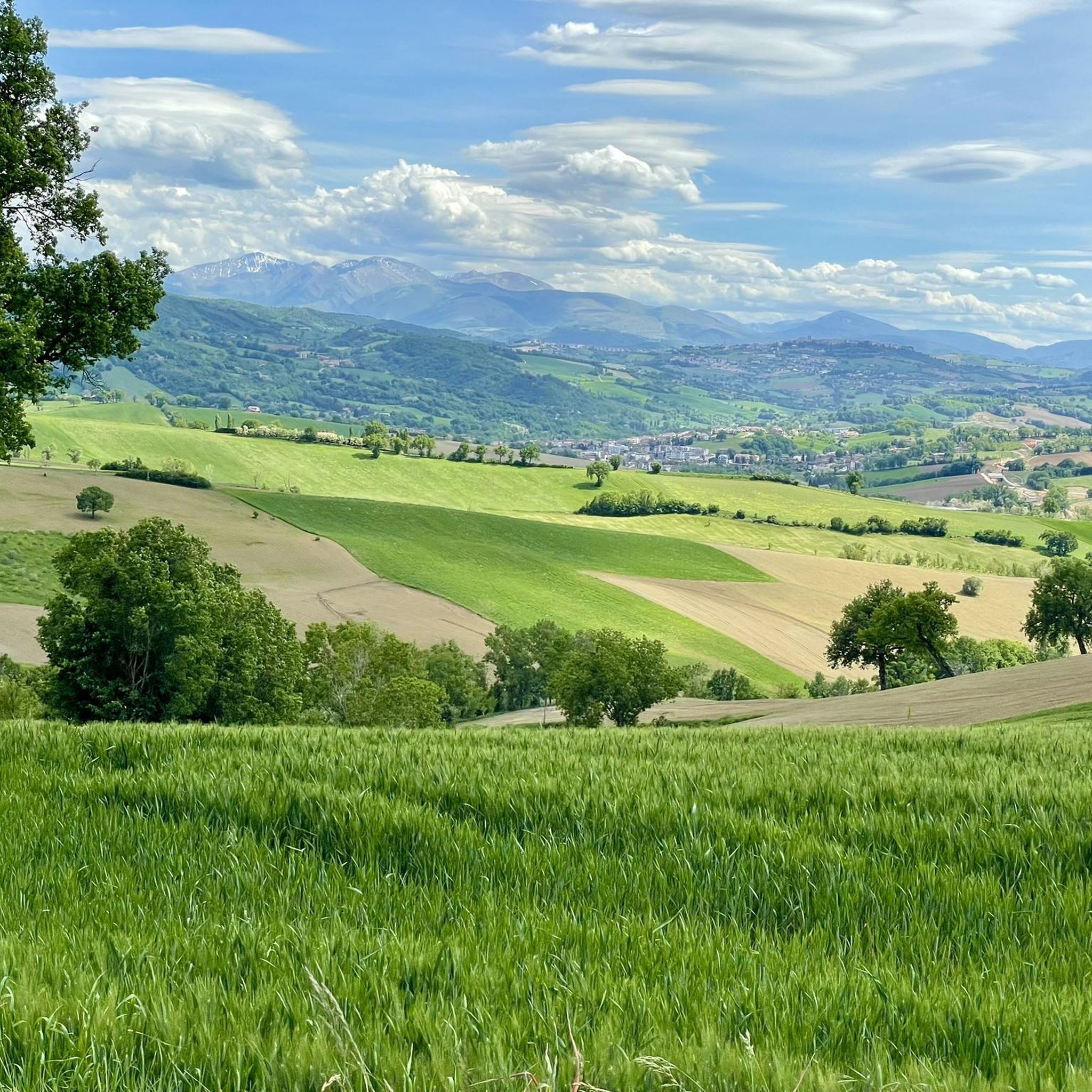
Panoramic, one of the most beautiful roads in the region
1
0
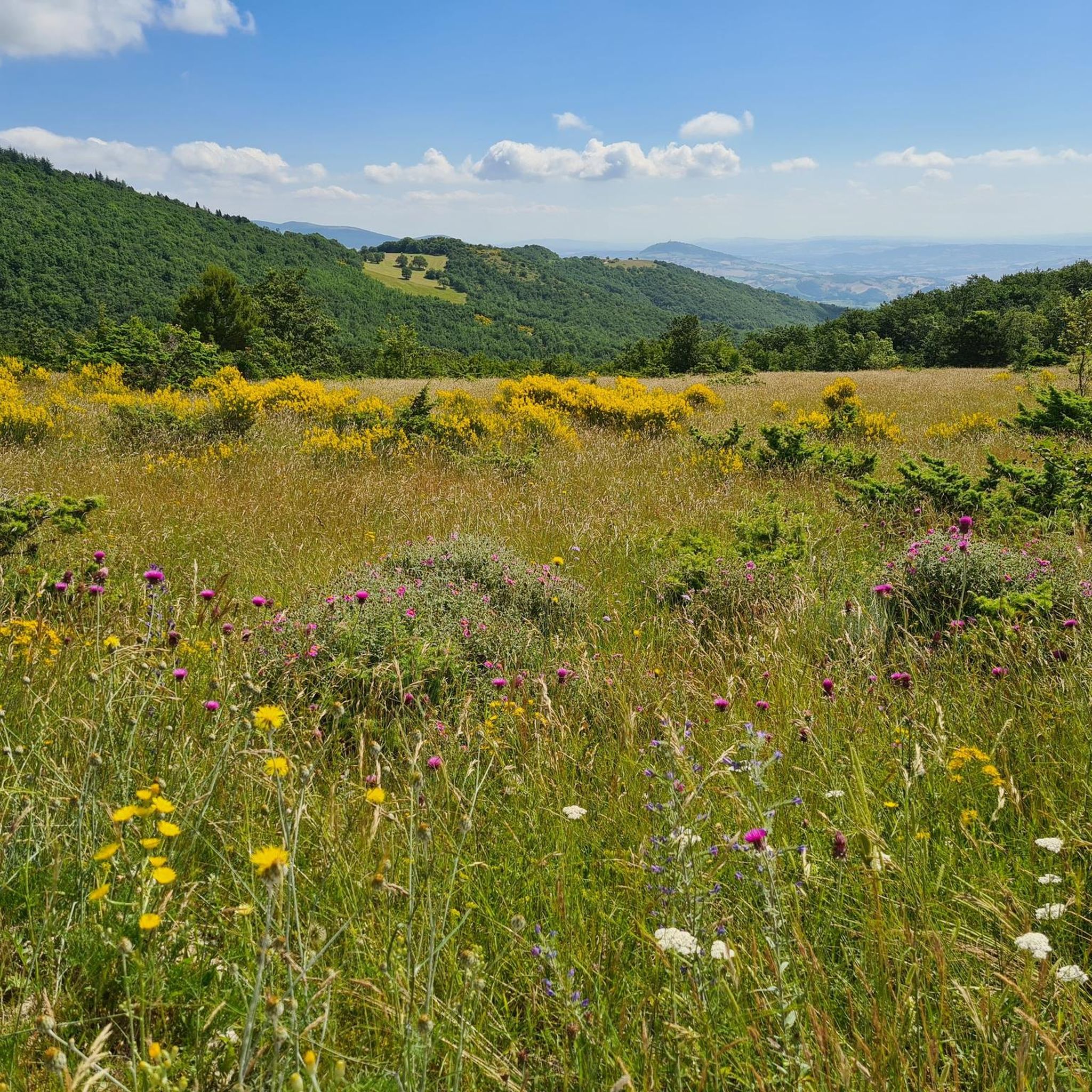
It is one of the most panoramic points of the Sibillini, on the top of a vast plateau that preserves the most beautiful Renaissance sanctuary in the Region. Looking from the pass towards Macereto, the waters that flow to the right end up in the Adriatic, those to the left in the Nera and then in the Tiber and then in the distant Tyrrhenian Sea.
0
0

From the Fabriano factory to the village there is a leg-breaking but fun climb
0
0

It's worth a stop in town to see the murles
1
0
Frequently Asked Questions
What is the general difficulty level of road cycling routes around Gagliole?
Road cycling around Gagliole is characterized by rolling hills and challenging climbs. The region offers a mix of routes, with a significant number being difficult (72 out of 132 routes) and many moderate options (48 routes). There are also some easier routes available for those looking for a less strenuous ride.
Are there any particularly challenging climbs for experienced road cyclists?
Yes, Gagliole is known for its challenging climbs. Routes like the Passo Cornello – Fonte delle Mattinate loop from Castelraimondo-Camerino feature significant elevation gain through mountain passes. Another demanding option is the Lake Caccamo – Historic Village of Sarnano loop from Castelraimondo-Camerino, which includes extensive climbing over its 72.1 miles.
Are there options for long-distance road cycling routes or loops near Gagliole?
Absolutely. Gagliole offers several long-distance loops. For example, the Lake Caccamo – Historic Village of Sarnano loop from Castelraimondo-Camerino covers 72.1 miles (116.1 km), and the Sanctuary of Macereto – Visso loop from Castelraimondo-Camerino is over 62 miles (101 km) long, providing extensive riding through scenic areas.
What scenic viewpoints or attractions can I discover along road cycling routes in Gagliole?
Many routes pass through historic areas and offer scenic views. You might encounter natural highlights such as Monte Pulcino for panoramic views or the tranquil Pantani di Matelica. Historic sites like Aliforni Castle or the Piazza del Popolo in San Severino Marche are also accessible along various routes.
What is the best season for road biking in Gagliole?
The region's climate, typical of central Italy, makes spring and autumn ideal for road cycling. Temperatures are milder, and the landscapes are vibrant. Summer can be quite warm, especially in the midday sun, but early morning or late afternoon rides are still enjoyable. Winter offers cooler, quieter rides, though some higher passes might be affected by weather.
Are there cafes or places to refuel along the road cycling routes?
Yes, many routes traverse through or near small towns and villages where you can find local cafes, trattorias, and shops to refuel. Given the region's focus on historic areas, these stops often provide a charming cultural experience alongside refreshments. Planning your route with komoot can help identify these points of interest.
What do other road cyclists say about their experience in Gagliole?
The road cycling routes in Gagliole are highly rated by the komoot community, with an average score of 4.6 stars from over 27 reviews. Cyclists often praise the varied terrain, challenging climbs, and the beautiful blend of natural and historic sites encountered along the way.
Where can I find parking for road bike trails in Gagliole?
Parking is generally available in the main towns and villages that serve as starting points for many routes, such as Gagliole itself or Castelraimondo-Camerino. Look for public parking areas, often near town centers or sports facilities. It's advisable to check local signage for any restrictions.
How can I find less crowded road bike trails around Gagliole?
While Gagliole offers a good network of routes, to find less crowded options, consider exploring routes that venture further into the more rural, less populated areas away from major towns. Weekdays, especially outside of peak holiday seasons, also tend to be quieter. Routes like the Fontanella di Matelica – View of Poggio San Romualdo loop from Castelraimondo-Camerino might offer a more serene experience.
Are there any family-friendly road cycling paths suitable for all ages?
While many routes around Gagliole feature challenging climbs, there are some easier sections and less demanding loops suitable for families or those seeking a more relaxed ride. Look for routes categorized as 'easy' within the komoot guide, which typically have less elevation gain and shorter distances. These often follow valley floors or less trafficked local roads.
What kind of weather can I expect during summer road cycling in Gagliole?
Summers in Gagliole, like much of central Italy, are typically warm to hot and dry. Temperatures can often exceed 25-30°C (77-86°F) during the day. It's recommended to start rides early in the morning to avoid the midday heat, stay hydrated, and use sun protection. The evenings are generally pleasant and cooler.
Where can I find maps for road cycling routes in Gagliole?
Detailed maps and route information for road cycling in Gagliole are available directly on komoot. You can browse the various tours, view their profiles, and download them for offline navigation on your device. The guide itself provides an overview of many popular routes.
Are there any road cycling events in the Gagliole area?
The Marche region, where Gagliole is located, occasionally hosts cycling events, including granfondos and local races, especially during spring and early autumn. While specific events in Gagliole itself may vary year to year, checking regional cycling calendars or local tourism boards closer to your visit can provide information on any upcoming events in the broader area.
Most popular attractions around Gagliole

Get inspired with the komoot mobile app


Explore more
Browse the best Road cycling routes in other regions.
