The best walks and hikes around Andrate
4.5
(591)
3,043
hikers
30
hikes
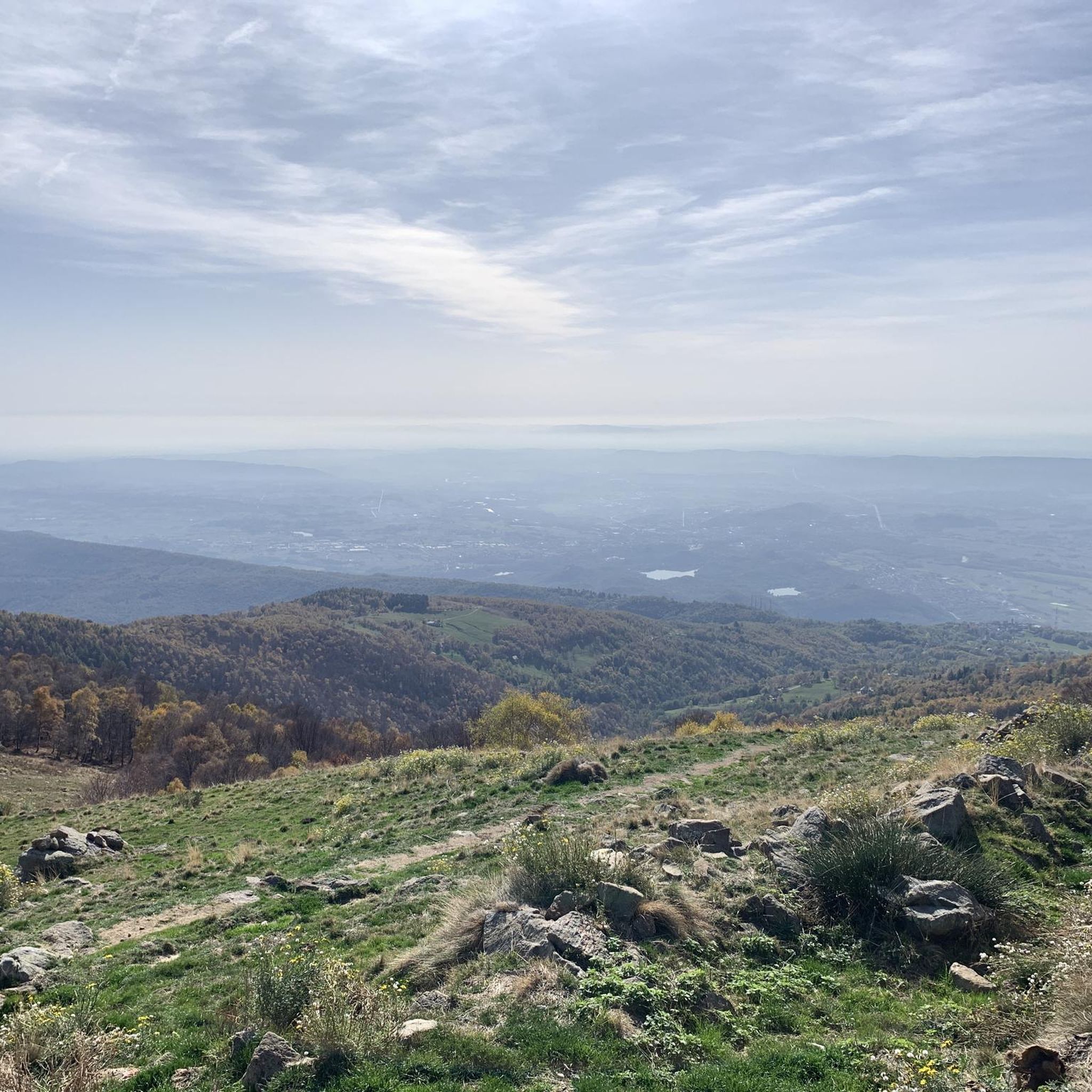
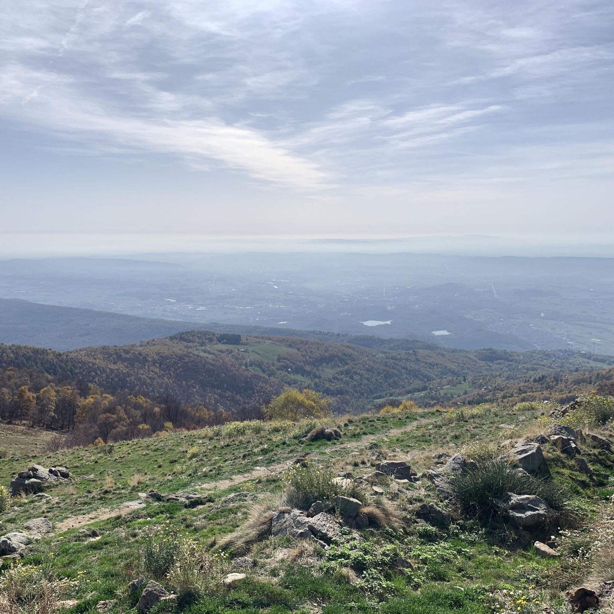
Hiking around Andrate offers diverse landscapes within the Ivrea Morainic Ridge, recognized as Europe's largest glacial formation. The region gradually ascends towards the slopes of Mombarone, featuring varied terrain that includes forests, clearings, and high-altitude pastureland. Hikers will encounter a dynamic environment, from the Viona torrent valley to panoramic viewpoints over the morainic amphitheater.
Best hiking trails around Andrate
- The most popular hiking route is Forest trail to Redeemer statue from San Giacomo, a 6.3 miles (10.2 km) trail…
Last updated: October 10, 2026
4.6
(68)
456
hikers
10.2km
05:21
940m
940m
Hard hike. Very good fitness required. Sure-footedness, sturdy shoes and alpine experience required.
4.7
(62)
379
hikers
11.6km
06:12
1,060m
1,050m
Hard hike. Very good fitness required. Sure-footedness, sturdy shoes and alpine experience required.

5.0
(6)
24
hikers
7.81km
02:19
230m
230m
Moderate hike. Good fitness required. Easily-accessible paths. Suitable for all skill levels.
5.0
(1)
7
hikers
4.19km
01:12
100m
100m
Easy hike. Great for any fitness level. Easily-accessible paths. Suitable for all skill levels.
5.0
(3)
11
hikers
7.35km
02:10
210m
210m
Moderate hike. Good fitness required. Easily-accessible paths. Suitable for all skill levels.
Get access to more routes and recommendations from other explorers.
Already have an account?
Our route recommendations are based on thousands of hikes, rides, and runs completed by other people on komoot.
Start today with a free account
Your next adventure awaits.


Tips from the Community

Has anyone been there recently? The rif Mombarone is closed and the bivouac Cosa and Frassati?
0
0


Church located along the road, at the entrance to the city of Andrate
0
0
In this locality of the municipality of Andrate we find a castle with long surrounding walls
0
0
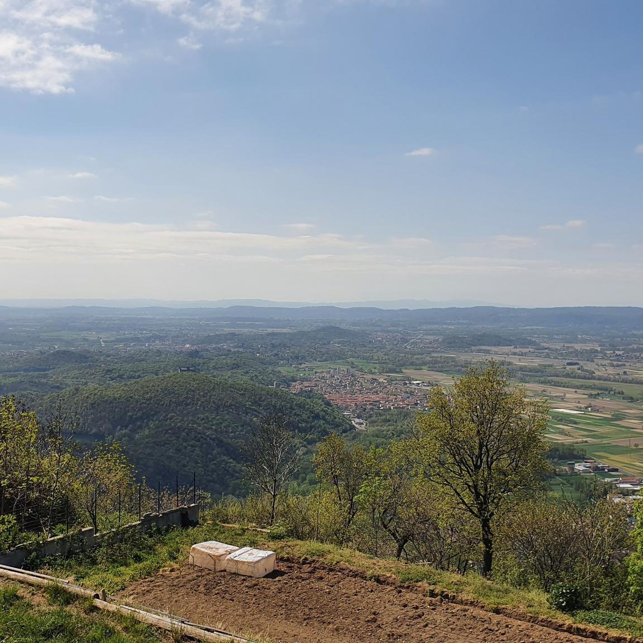
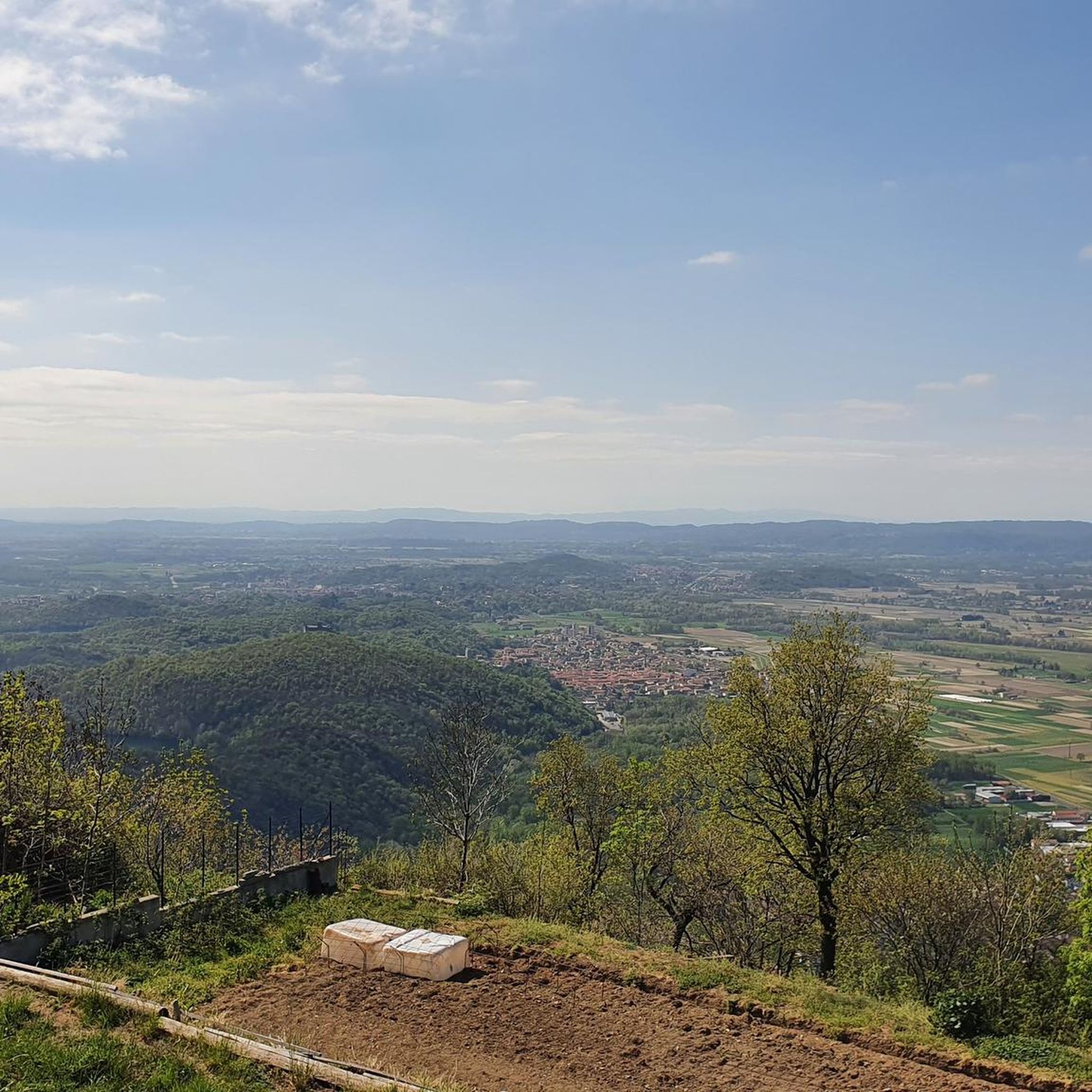
From the Bastia tower there is a beautiful view of Ivrea and the surrounding lakes
1
0
On this wooden tower there is a staircase where you can climb to the top and admire the view of the Ivrea lakes from the balcony. Just be careful because a wooden step is missing! The ridge path to get there is not difficult, flat and accessible to everyone.
1
0

accessible tower rebuilt on the ruins of an ancient watchtower
0
0

tables and benches available with some grill areas
1
0
Frequently Asked Questions
How many hiking trails are available around Andrate?
Andrate offers a comprehensive network of over 30 hiking trails. These routes cater to various skill levels, ranging from easy paths suitable for beginners to challenging mountaineering routes for experienced hikers.
What kind of terrain can I expect on hikes in Andrate?
The terrain around Andrate is highly varied, reflecting its position on the Ivrea Morainic Ridge. You'll encounter dynamic landscapes that alternate between dense forests, open clearings, ancient agricultural terraces, and high-altitude pastureland as you ascend towards peaks like Mombarone. The Viona torrent valley also features prominently in some itineraries.
Are there any easy or family-friendly hiking options in Andrate?
Yes, Andrate has several easier options. For a pleasant, shorter walk, consider the Andrate and Croce Serra – loop in the Serra di Ivrea. This easy 4.2 km loop takes about 1 hour 12 minutes and offers gentle elevation changes, making it suitable for families.
Where can I find panoramic viewpoints or natural landmarks during my hike?
Andrate is rich in natural landmarks and offers sweeping views. The Serra Morenica di Ivrea itself provides extensive vistas over the morainic amphitheater. Routes leading towards Monte Torretta and Mombarone offer high-altitude panoramas. You can also explore highlights like Lake Pistono or Lake Vargno, which are part of the morainic lake system.
Are there any circular hiking routes in the Andrate area?
Yes, several routes are designed as loops. A popular moderate option is the Ponte Viona e Serra Croce – loop tour of Andrate in the Serra di Ivrea. This 7.8 km trail takes approximately 2 hours 19 minutes and explores the Viona torrent valley and parts of the Serra di Ivrea.
What is the best time of year to go hiking in Andrate?
The best time for hiking in Andrate is generally from spring through autumn. During these seasons, the weather is milder, and the trails are more accessible. The cool and windy slopes of the Serra Morenica can offer a pleasant escape from the heat of the plain during summer months.
Are dogs allowed on the hiking trails in Andrate?
Many trails in the Andrate area are dog-friendly, allowing you to enjoy the natural beauty with your canine companion. However, it's always advisable to keep dogs on a leash, especially in areas with livestock or wildlife, and to check specific trail regulations if available.
What do other hikers enjoy most about hiking in Andrate?
The hiking experiences around Andrate are highly rated by the komoot community, with an average score of 4.6 stars from over 500 reviews. Hikers frequently praise the diverse landscapes, the extensive and well-marked trail network, and the sweeping views over the morainic amphitheater and the plain below.
Are there any challenging hikes for experienced trekkers?
Absolutely. For experienced trekkers seeking a challenge, the region offers demanding routes with significant elevation gain. The Climb to Monte Mombarone is a difficult 11.6 km path that ascends towards the 2371-meter summit, offering a strenuous but rewarding experience.
Is there public transport or parking available near the trailheads?
Andrate serves as an excellent starting point for many itineraries, and parking is generally available within the municipality. While specific public transport details to individual trailheads can vary, Andrate itself is accessible. It's recommended to check local transport schedules if you plan to rely on public options.
Can I find longer, multi-day hiking routes in the area?
Yes, Andrate is a key access point for the Alta Via dell'Anfiteatro Morenico di Ivrea, a system of naturalistic itineraries that traverses the entire Ivrea Morainic Amphitheater. A challenging example is the Alta Via dell'Anfiteatro Morenico – loop between Andrate and Broglina, a difficult 27.1 km route that can be part of a longer exploration.
Are there any specific points of interest or historical sites to look out for?
Beyond the natural beauty, the area has historical charm. The Viona torrent valley, for instance, features abandoned quartz quarries. While hiking, you might also encounter remnants of old huts or agricultural terraces, reflecting the region's past. For broader exploration, you can find more information about local attractions on visitandrate.it.
Most popular routes around Andrate
Most popular attractions around Andrate

Get inspired with the komoot mobile app


Explore more
Browse the best Hikes in other regions.
