The best mountain hikes around Andrate
4.5
(6)
46
hikers
2
hikes
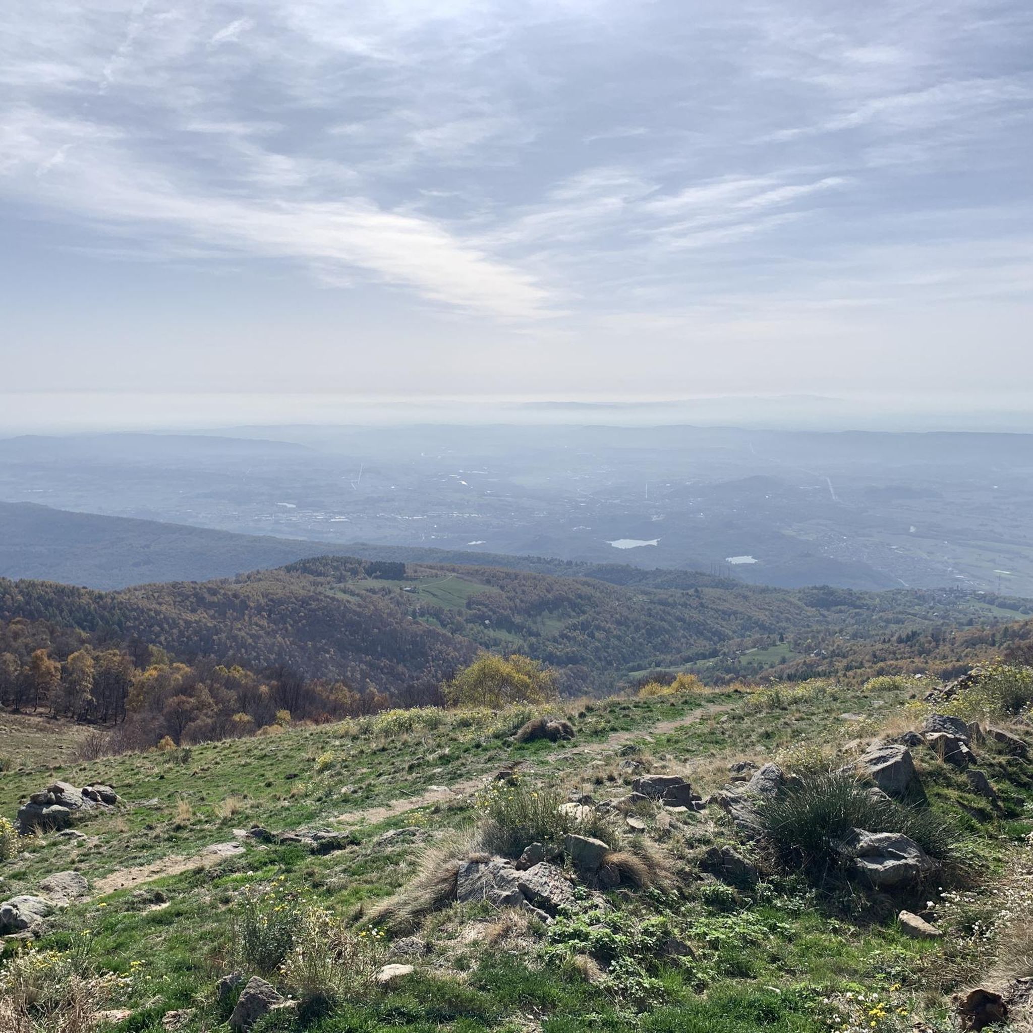
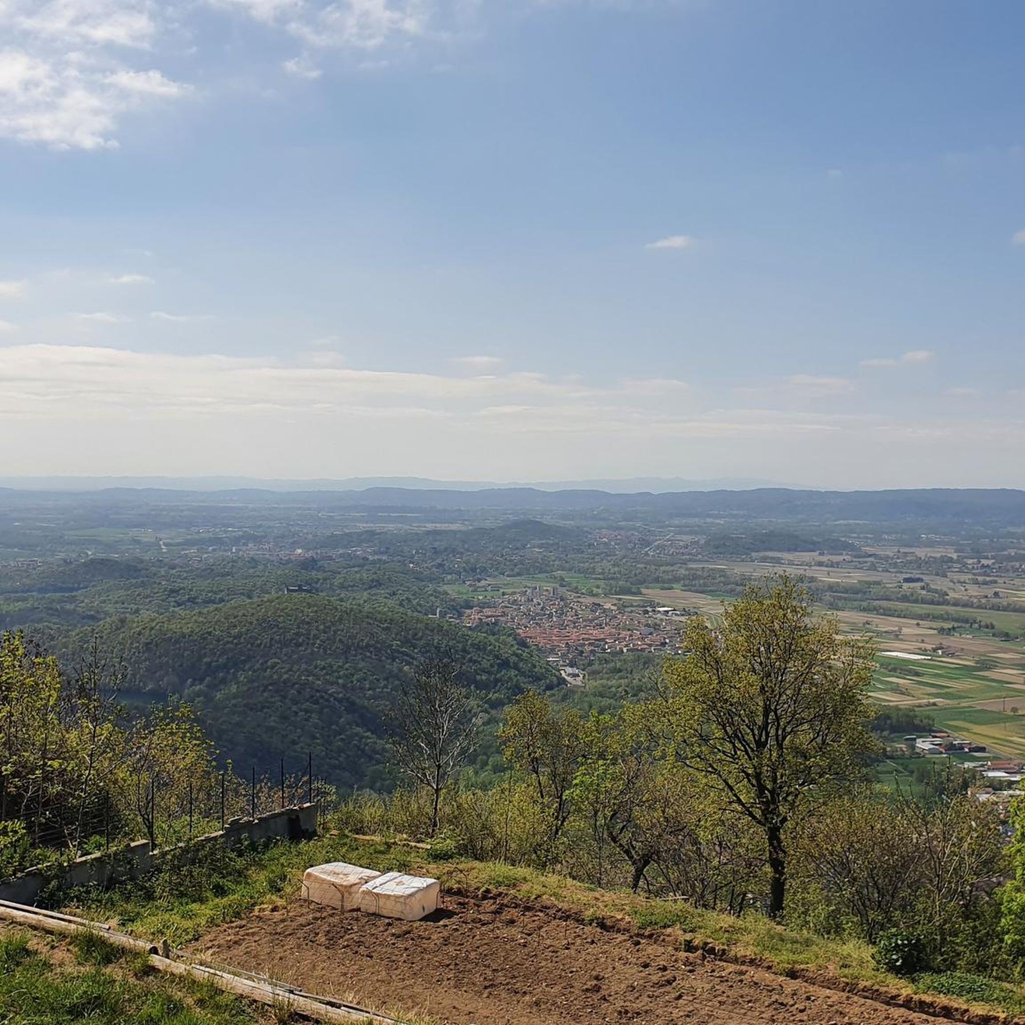
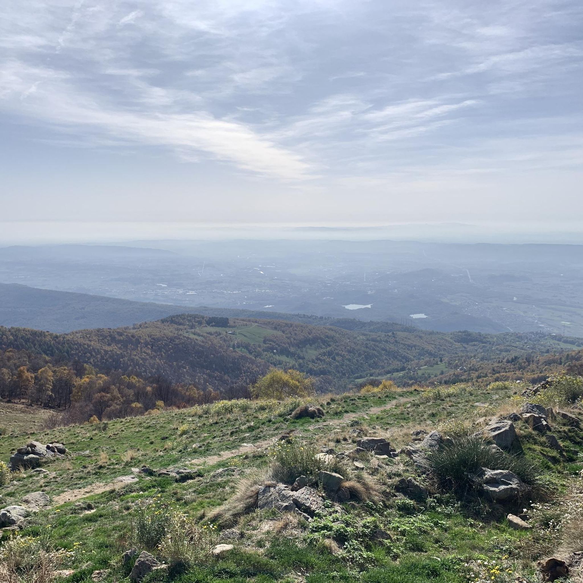
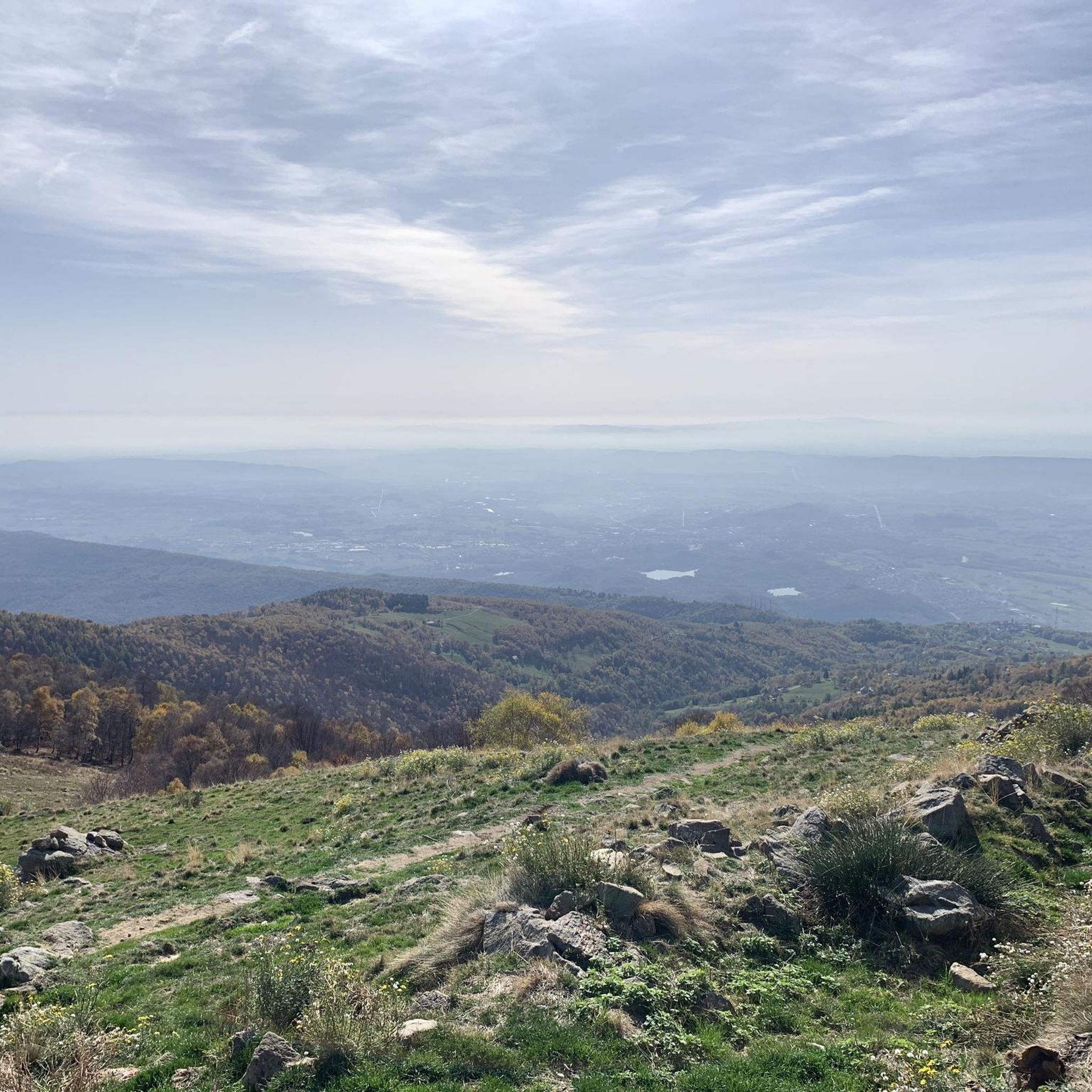
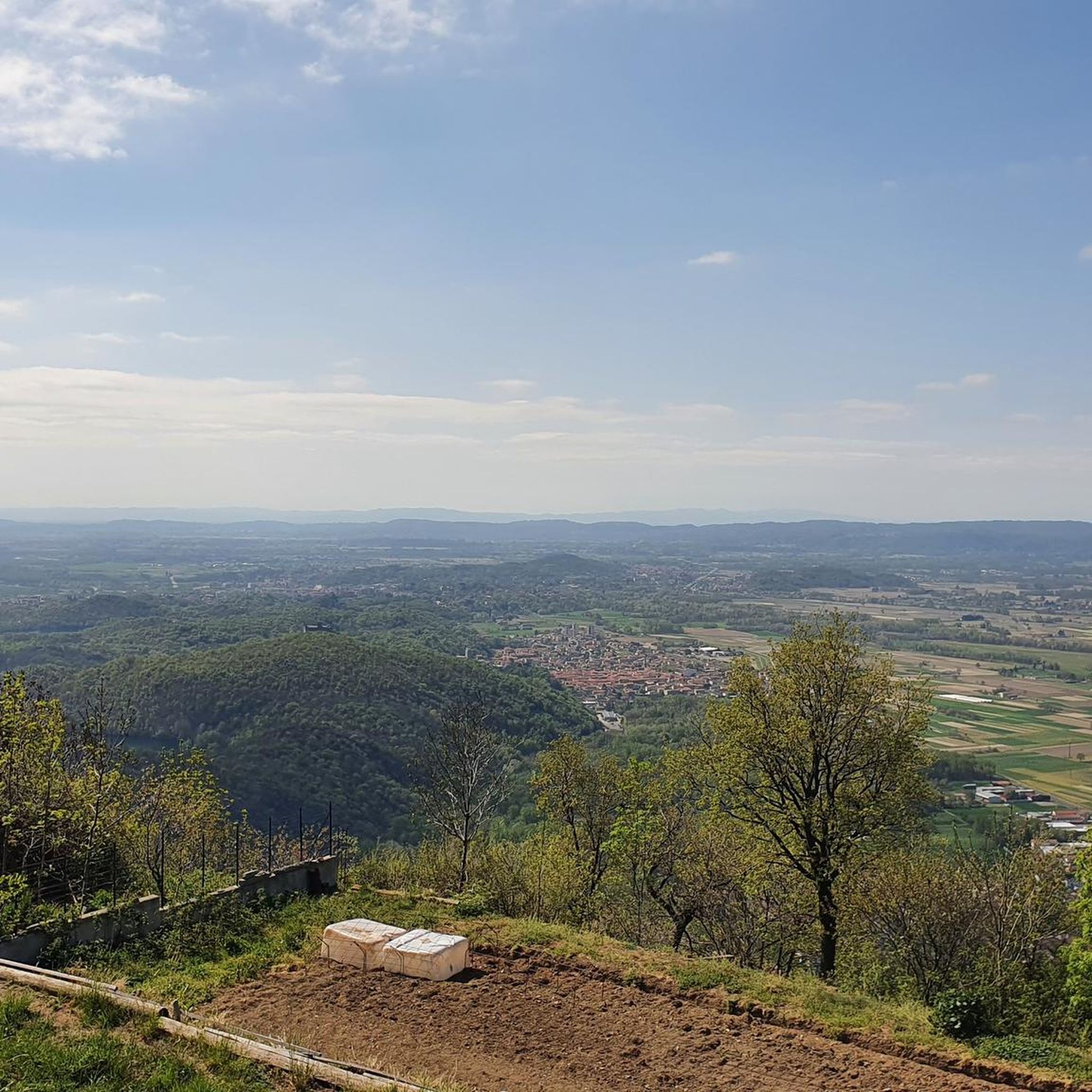
Mountaineering around Andrate is characterized by its location within the Ivrea Morainic Ridge, Europe's largest glacial formation, which shapes a varied topography of dense forests, clearings, and high-altitude pasturelands. The region ascends towards the slopes of Monte Mombarone and offers access to the Biellese Alps and the unspoiled Oropa Valley. This diverse landscape provides challenging terrain with significant elevation changes, suitable for advanced mountaineering pursuits.
Best mountaineering routes around Andrate
- The most popular mountaineering route is Monte Camino – Rifugio…
Last updated: August 14, 2026
4.0
(3)
15
hikers
13.5km
06:43
1,090m
1,090m
Hard mountaineering route. Very good fitness required. Sure-footedness, sturdy shoes and alpine experience required.
4.5
(2)
14
hikers
13.1km
06:33
1,090m
1,090m
Hard mountaineering route. Very good fitness required. Sure-footedness, sturdy shoes and alpine experience required.

Sign up for free
11
hikers
11.7km
06:43
1,070m
1,070m
Hard mountaineering route. Very good fitness required. Sure-footedness, sturdy shoes and alpine experience required.
5.0
(1)
7
hikers
13.6km
07:28
1,280m
1,280m
Hard mountaineering route. Very good fitness required. Sure-footedness, sturdy shoes and alpine experience required.
Our route recommendations are based on thousands of hikes, rides, and runs completed by other people on komoot.
Start today with a free account
Your next adventure awaits.
Login or Signup

Tips from the Community


glacial lake that gives rise to the Oropa stream
0
0
built in 1936 and restored in 2006
0
0
arrival station and panoramic view of the Sanctuary
0
3
beautiful dirt road with dry stone walls and natural ground (without added gravel)
0
3
at the end of 2025 the dirt road track was improved and made passable by off-road vehicles and bikes, with the elimination and covering of the previous ford on the Oropa
0
0
it is located at Alpe Pissa
0
1

A few meters from Lake Mucrone, if you are looking for a place to fill your water bottle, the Fonte del Bersagliere is the ideal place, where the freshest spring water flows.
0
0
Frequently Asked Questions
How many mountaineering routes are available around Andrate?
There are 6 challenging mountaineering routes around Andrate, all rated as difficult, offering significant elevation gain and demanding alpine experiences.
What is the typical difficulty of mountaineering routes in this area?
All mountaineering routes listed for the Andrate area are rated as difficult. They involve significant elevation changes and are best suited for experienced mountaineers seeking strenuous ascents and challenging terrain.
What kind of terrain can I expect on mountaineering routes near Andrate?
The terrain around Andrate is highly varied, shaped by the Ivrea Morainic Ridge, Europe's largest glacial formation. You can expect dense forests, clearings, high-altitude pasturelands, and alpine landscapes as you ascend towards peaks like Monte Mombarone and the Biellese Alps.
Are there any circular mountaineering routes around Andrate?
Yes, many of the mountaineering routes around Andrate are circular. For example, you can explore the Monte Camino – Rifugio Rosazza loop from Oropa or the Monte Mucrone Summit – Lake Mucrone loop from Oropa, both offering demanding full-day experiences.
What is the best time of year for mountaineering around Andrate?
The best time for mountaineering in the Andrate region, particularly for higher alpine routes, is typically from late spring through early autumn (June to September). During these months, snow has generally melted from higher elevations, and weather conditions are more stable, though alpine weather can change rapidly.
Are there any notable natural features or viewpoints along the routes?
Absolutely. The region offers breathtaking views from high-altitude points like the summit of Monte Mombarone, which provides panoramic vistas of the Alps and the Ivrea area. The The Dancing Lands is a unique natural monument, and several routes pass by scenic lakes such as Lake Pistono and Lake Vargno.
Can I find any historical or cultural points of interest while mountaineering?
Yes, the area is rich in history. The Oropa Sanctuary, a significant Marian sanctuary, is accessible via trails that pass through ancient forests. The Torre della Bastia, a wooden tower near Andrate, offers panoramic views and a glimpse into the region's past. Some trails in the nearby Valchiusella also feature ancient hamlets and petroglyphs.
Are there any routes that pass by lakes?
Yes, several routes incorporate stunning alpine lakes. The Lago del Camino – Lago Barma superiore loop from Oropa leads through high-altitude lake country. Another option is the Monte Mucrone Summit – Lake Mucrone loop from Oropa, which passes by Lake Mucrone.
Are the mountaineering routes around Andrate suitable for families?
Given that all listed mountaineering routes are rated as difficult, they are generally not recommended for young children or families seeking easy walks. These routes require good physical condition and mountaineering experience. For family-friendly options, you might consider easier hiking trails in the broader Ivrea Morainic Ridge area.
Are dogs allowed on the mountaineering trails?
While many trails in Italy are dog-friendly, it's always best to check specific regulations for the particular route or protected area you plan to visit, especially when entering national parks or nature reserves. Always keep dogs under control, especially in areas with livestock or wildlife, and carry waste bags.
What are the parking options for mountaineering routes near Andrate?
Parking availability varies depending on the specific trailhead. For routes starting from Oropa, there are usually designated parking areas near the Sanctuary. For other routes, such as the Bric Paglie – Colma di Mombarone loop from Cappella 77, you'll find parking options in the nearby villages or designated starting points. It's advisable to check specific route details for parking recommendations.
How can I reach the starting points of these routes by public transport?
Public transport options to the starting points of mountaineering routes can be limited, especially for more remote trailheads. Oropa, a common starting point for several routes, is generally accessible by bus from Biella. For other routes, reaching the trailhead might require a combination of public transport and a short taxi ride or carpooling. Always check local bus schedules in advance.
Are there any cafes or accommodation options near the mountaineering routes?
Andrate itself is a charming village with some local amenities. Near popular starting points like Oropa, you'll find cafes, restaurants, and accommodation options, including hotels and mountain refuges. It's recommended to book accommodation in advance, especially during peak season.
Most popular routes around Andrate
Most popular attractions around Andrate

Get inspired with the komoot mobile app


Explore more
Browse the best Mountain Hikes & Routes in other regions.
