The best running trails around Moncenisio
4.9
(7)
1,105
runners
36
runs
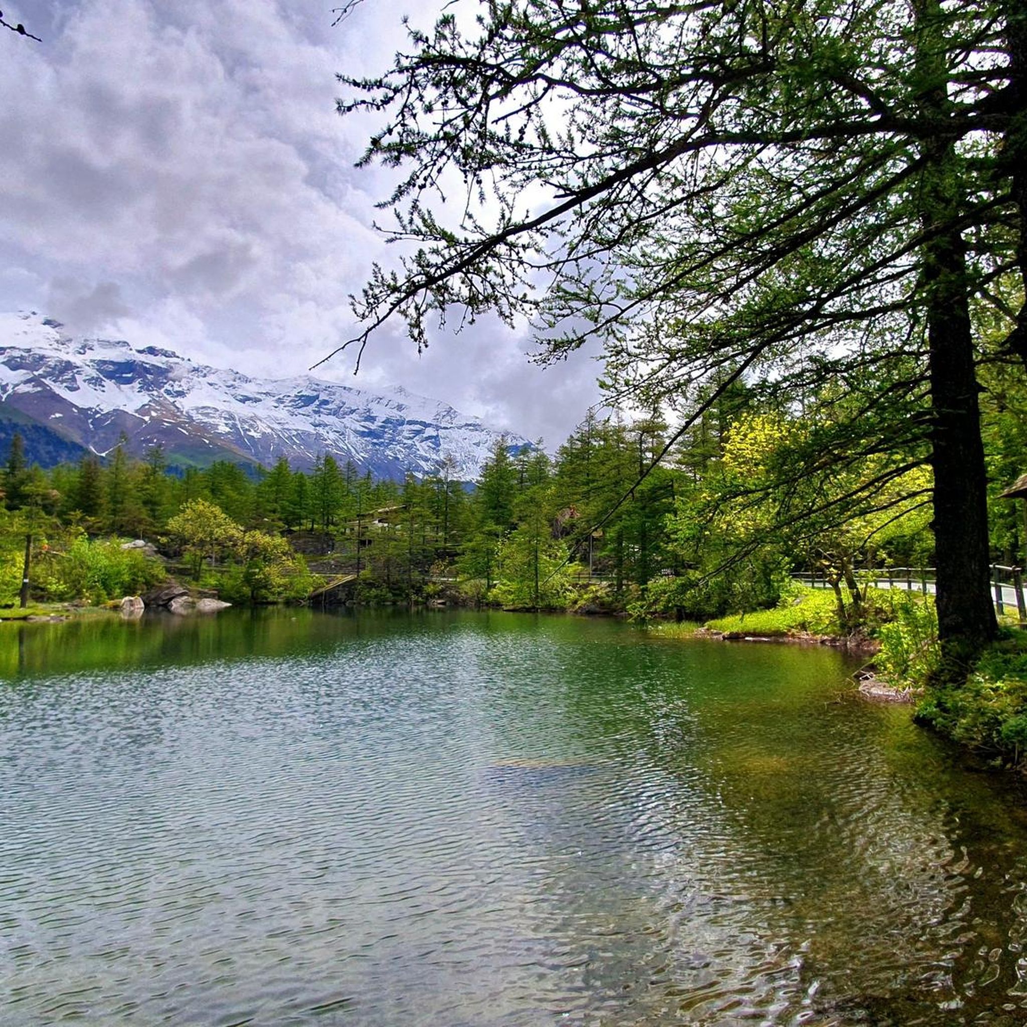
Jogging around Moncenisio offers diverse landscapes for runners, situated in the Alps on the border between France and Italy. The region features spectacular mountain peaks and the artificial Lake Moncenisio, known for its cobalt-blue waters. Historical pathways, including sections of the ancient Via Francigena and Napoleon's Royal Road, provide unique running surfaces. The terrain varies from lakeside paths to routes leading past military forts, offering a mix of natural and historical features.
Best jogging routes around Moncenisio
- The most popular…
Last updated: October 18, 2026
5.0
(1)
245
runners
Hard run. Very good fitness required. Sure-footedness, sturdy shoes and alpine experience required.
29
runners
21.1km
02:57
1,050m
1,050m
Hard run. Very good fitness required. Sure-footedness, sturdy shoes and alpine experience required.

17
runners
7.55km
00:52
180m
180m
Moderate run. Good fitness required. Mostly paved surfaces. Suitable for all skill levels.
5.0
(1)
12
runners
12.8km
01:30
360m
360m
Hard run. Very good fitness required. Sure-footedness, sturdy shoes and alpine experience required.
10
runners
Hard run. Very good fitness required. Sure-footedness, sturdy shoes and alpine experience required.
Get access to more routes and recommendations from other explorers.
Already have an account?
Our route recommendations are based on thousands of hikes, rides, and runs completed by other people on komoot.
Start today with a free account
Your next adventure awaits.
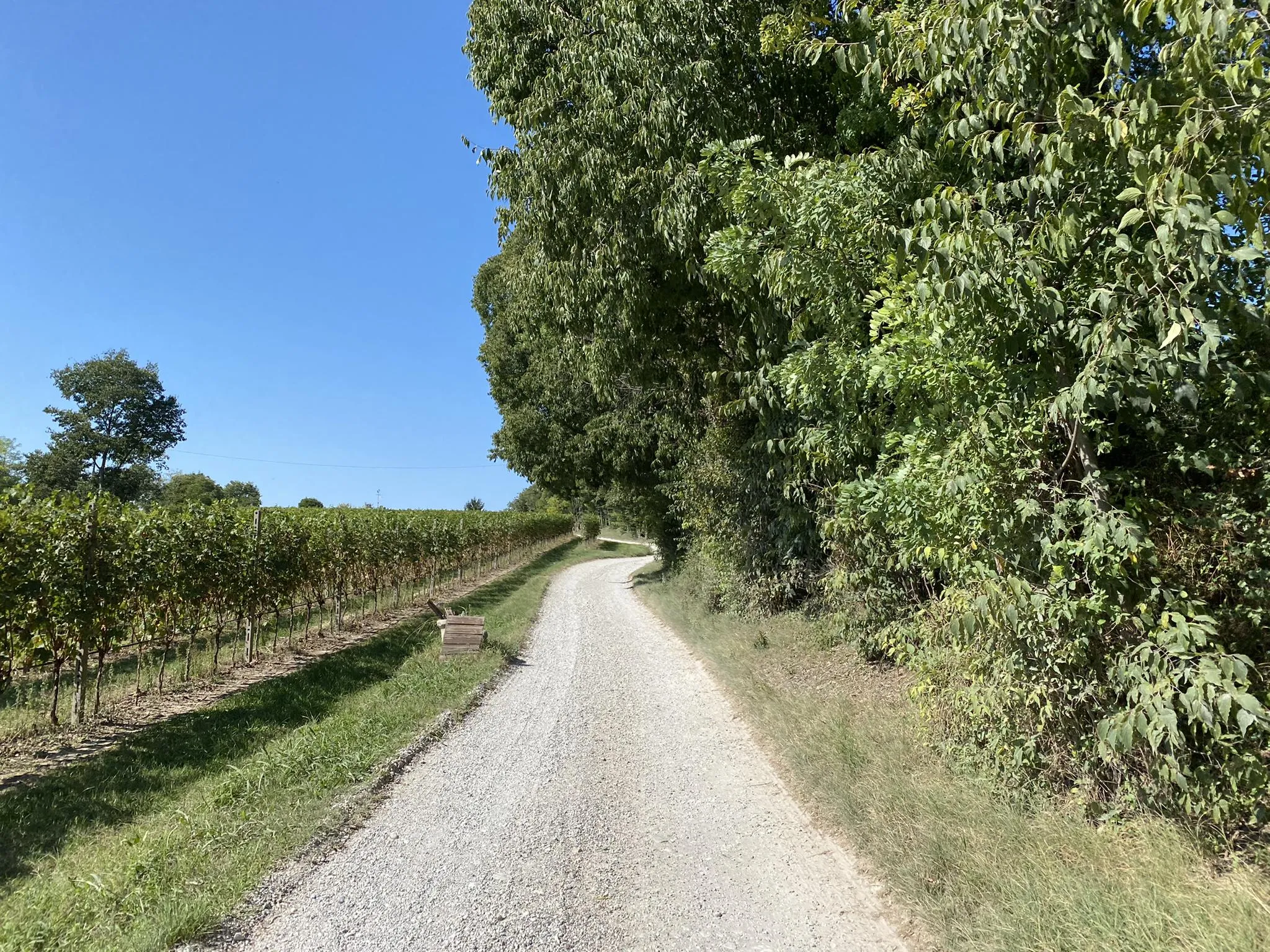
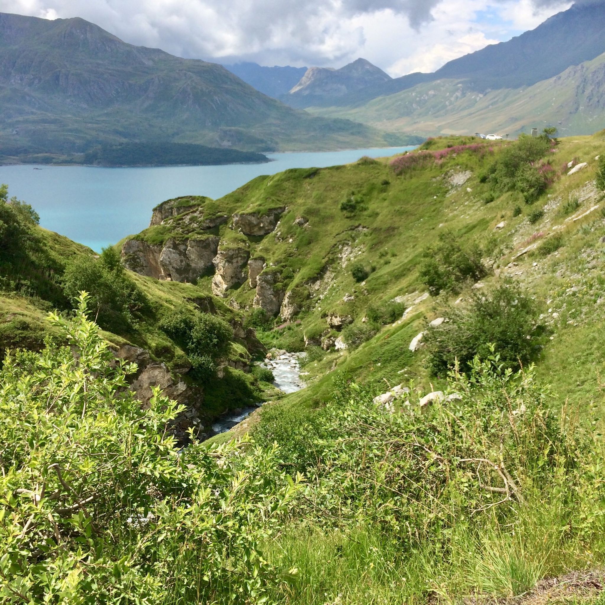
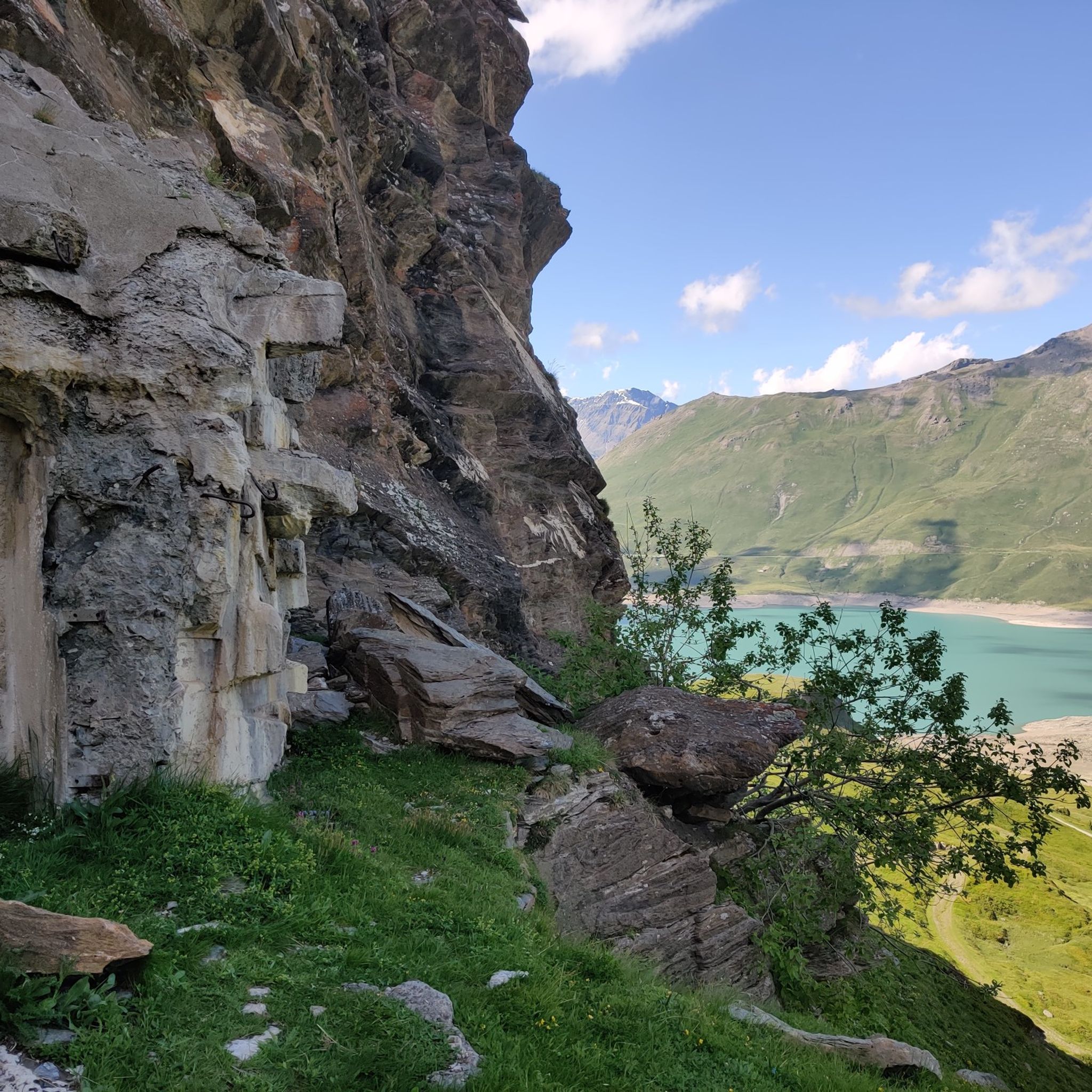
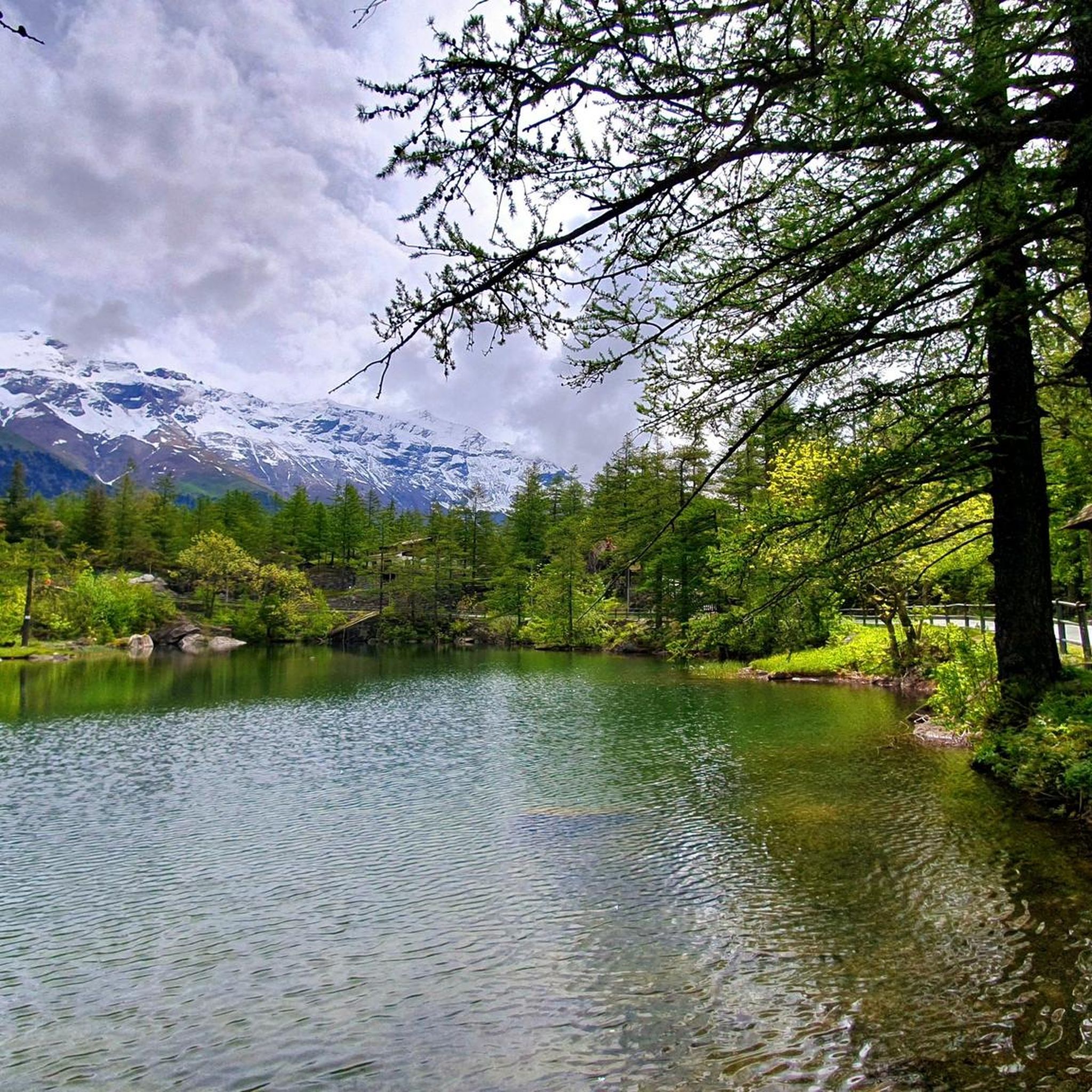

Other adventures around Moncenisio

Tips from the Community

Slightly bumpy path over the dam.
2
0
Beautiful chapel, also a museum, but also a nice hotel and restaurant in the village.
2
0
Beautiful view of the reservoir and mountains.
2
0
Very rocky path on the dam with great views of the lake and towards Italy.
3
0
Beautiful small road and great views.
2
0
Great view, probably less water from now on. Demanding trail.
2
0
Not only this small section, unpaved but traffic-free path on the south side. Without an e-bike, it is quite demanding.
2
0

A distinctive pyramid-shaped chapel with the lake in the background. Worth a stop.
0
0
Frequently Asked Questions
How many running routes are available in Moncenisio?
Moncenisio offers a wide selection of running routes, with over 30 trails documented on komoot. These routes cater to various fitness levels, from moderate lakeside paths to more challenging mountain runs.
What kind of terrain can I expect on the running trails around Moncenisio?
The terrain in Moncenisio is diverse, ranging from smooth paths around the artificial Lake Moncenisio to historical routes like sections of the ancient Via Francigena and Napoleon's Royal Road. You'll encounter varying surfaces, including unpaved sections, alpine rocks, and paths leading past military forts. The landscape can sometimes appear 'lunar-like' with colorful, lichen-covered rocks, offering a unique running experience.
Are there any easy or family-friendly running routes in Moncenisio?
While many routes in Moncenisio are rated as difficult, there are options for moderate runs. For a more accessible experience, consider the Lago del Moncenisio – Mont Cenis Dam loop from Moncenisio, which is 4.8 miles (7.8 km) and rated moderate. This route offers beautiful views around the lake and is suitable for those looking for a less strenuous run.
Can I bring my dog on the running trails in Moncenisio?
Yes, Moncenisio is generally dog-friendly, and many trails are suitable for running with your canine companion. However, it's always recommended to keep dogs on a leash, especially in areas with wildlife like marmots, and to check local regulations for specific trails or protected areas.
What are some notable landmarks or natural features I can see while running in Moncenisio?
Moncenisio's running routes are rich with sights. You can explore historical military forts such as Fort de Ronce, or enjoy the stunning cobalt-blue waters of Lake Moncenisio. The region also features unique glacial lakes like Lago Grande and White Lake, and if water levels are low, you might even spot the remains of the Ancient Hospice of Moncenisio within the main lake.
Are there any circular running routes around Lake Moncenisio?
Yes, the Lake Moncenisio area is popular for circular routes. A great option is the View of Lake Mont Cenis – View of Lake Mont Cenis loop from Lanslebourg-Mont-Cenis, a 10.4 miles (16.7 km) trail offering expansive views of the lake and its alpine surroundings. Another is the Mont Cenis Dam – Lago del Moncenisio loop from Barrage du Mont Cenis, which is 12.7 km long.
What is the best time of year to go running in Moncenisio?
The best time to go running in Moncenisio is typically from late spring to early autumn (May to October) when the weather is milder and trails are clear of snow. During these months, you can fully appreciate the vibrant turquoise lake, green slopes, and diverse flora. Winter running is possible but requires appropriate gear and awareness of snow conditions.
What are the typical elevation gains on Moncenisio running trails?
Elevation gains vary significantly across Moncenisio's trails. While moderate routes like the Lago del Moncenisio – Mont Cenis Dam loop have around 188 meters of ascent, more challenging routes, such as the Old Fort of Malamot – Verso il Malamot loop from Tagliata de la Cassa, can feature nearly 1000 meters of elevation gain, providing a significant workout.
Is there parking available near the running trailheads in Moncenisio?
Yes, parking is generally available in the Moncenisio area, particularly near popular starting points for trails around Lake Moncenisio and in villages like Lanslebourg-Mont-Cenis. It's advisable to check specific route descriptions for detailed parking information.
What do other runners enjoy most about jogging in Moncenisio?
The running routes in Moncenisio are highly rated by the komoot community, with an average score of 4.5 stars. Runners frequently praise the majestic alpine scenery, the serene glacial lakes, and the unique historical pathways that allow them to follow in the footsteps of historical figures. The variety of trails catering to different ability levels is also a highlight.
Are there any challenging running routes for experienced runners in Moncenisio?
Absolutely. Moncenisio is home to many challenging routes. The Old Fort of Malamot – Verso il Malamot loop from Tagliata de la Cassa is a difficult 11.4 miles (18.3 km) path with significant elevation gain, leading past historical military forts. Another demanding option is the Fort de Ronce – Fort de Ronce loop from Lanslebourg-Mont-Cenis, which is 8.3 miles (13.4 km) and also rated difficult.
Can I find places to eat or stay near the running trails in Moncenisio?
Moncenisio and the surrounding villages offer amenities for visitors. You can find restaurants, cafes, and accommodation options, particularly around Lake Moncenisio and in nearby towns. These provide convenient spots to refuel and rest after your run.
Most popular routes around Moncenisio
Most popular attractions around Moncenisio

Get inspired with the komoot mobile app


Explore more
Browse the best Running Trails & Routes in other regions.
