The best traffic-free bike rides around Moncenisio
5.0
(7)
120
riders
2
rides
No traffic gravel bike trails around Moncenisio traverse a landscape defined by the Cottian Alps, high mountain passes, and the artificial Lake Mont Cenis. The region features a mix of historical military roads, unpaved paths, and varied terrain, offering routes that range from moderate to challenging. Gravel bikers can expect alpine scenery, including green pastures, diverse flora, and unique rock formations. The area's historical significance as an ancient crossroad adds to the experience, with routes often following old military roads.
…Last updated: July 14, 2026
5.0
(1)
23
riders
63.5km
05:46
2,560m
2,560m
Hard gravel ride. Very good fitness required. Mostly paved surfaces. Suitable for all skill levels.
20
riders
37.8km
03:13
1,140m
1,140m
Hard gravel ride. Very good fitness required. Mostly paved surfaces. Suitable for all skill levels.

Sign up for free
3
riders
60.0km
05:50
2,300m
2,300m
Hard gravel ride. Very good fitness required. Mostly paved surfaces. Suitable for all skill levels.
5
riders
Moderate gravel ride. Good fitness required. Mostly paved surfaces. Suitable for all skill levels.
3.7
(3)
8
riders
23.6km
02:01
860m
860m
Hard gravel ride. Very good fitness required. Mostly paved surfaces. Suitable for all skill levels.
Our route recommendations are based on thousands of hikes, rides, and runs completed by other people on komoot.
Start today with a free account
Your next adventure awaits.
Login or Signup
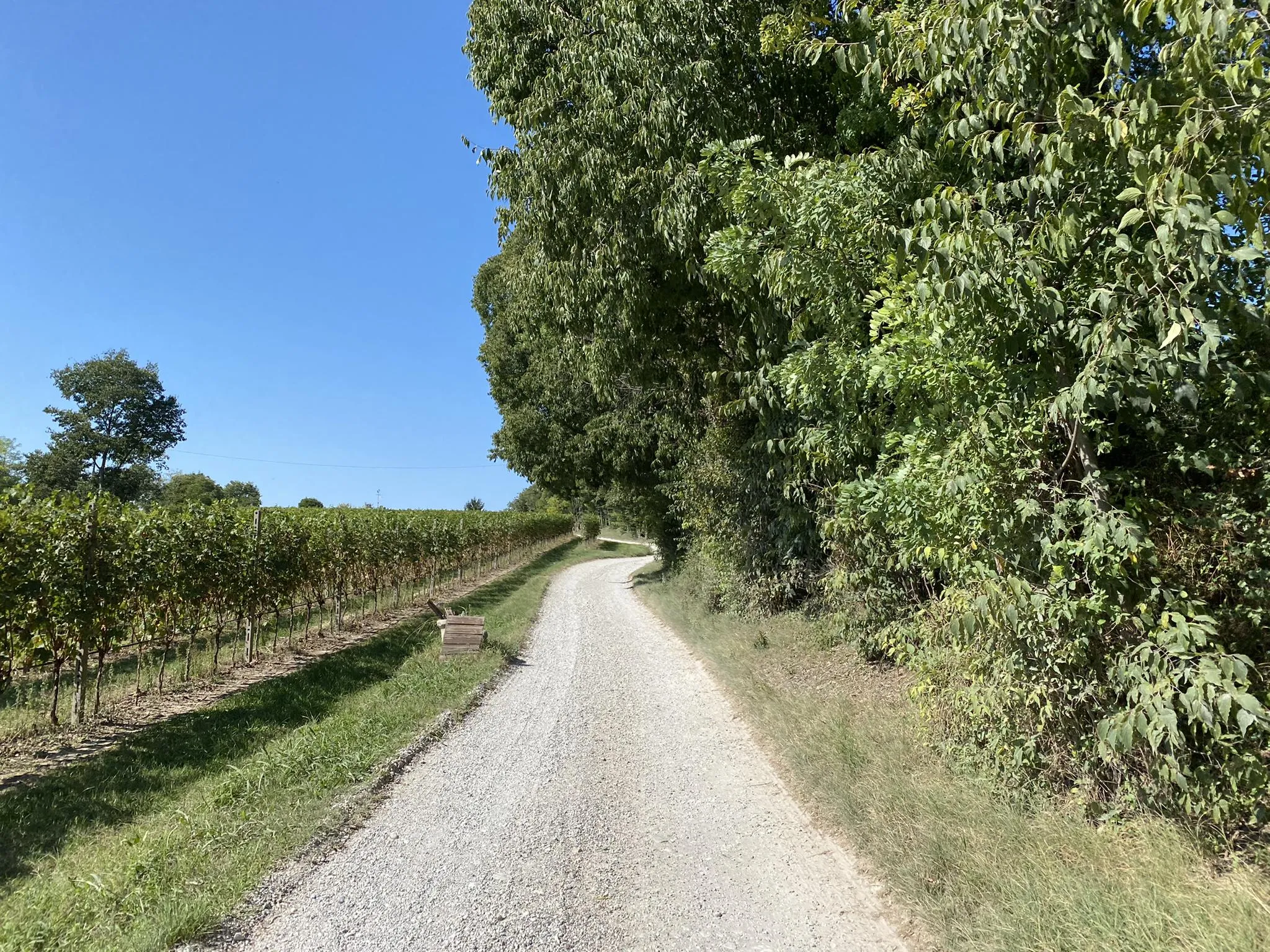
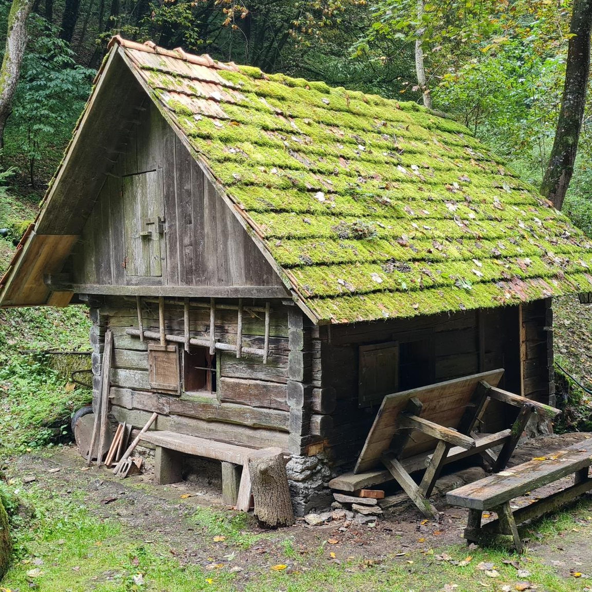

Other adventures around Moncenisio

Tips from the Community

Gravel road with a view.
2
0
Gravel path with a view.
2
0
Very rocky path on the dam with great views of the lake and towards Italy.
3
0
Beautiful small road and great views.
2
0
Great view, probably less water from now on. Demanding trail.
2
0
Not only this small section, unpaved but traffic-free path on the south side. Without an e-bike, it is quite demanding.
2
0
For me a small climb, but nice surface and great landscape.
1
0
Frequently Asked Questions
How many traffic-free gravel bike trails are available in Moncenisio?
Our guide features 2 dedicated traffic-free gravel bike routes around Moncenisio. However, the region is renowned for its diverse gravel biking opportunities, offering many more trails that provide a car-free experience, especially on old military roads and paths around Lake Mont Cenis.
What do other gravel bikers enjoy most about the traffic-free trails in Moncenisio?
The komoot community highly rates the gravel biking experience in Moncenisio, with an average score of 4.79 stars. Reviewers often praise the breathtaking natural beauty, the unique 'lunar-like landscape' with colorful rocks, and the historical significance of the routes, especially those around Lake Mont Cenis.
Are there any easy or family-friendly traffic-free gravel routes in Moncenisio?
While many routes in Moncenisio are challenging, there are options for varying fitness levels. For a moderately difficult, shorter ride with stunning views, consider the Petit Mont Cenis Refuge – View of Lake Mont Cenis loop from Barrage du Mont Cenis. It covers 19.3 km with 434 m of elevation gain, making it a good choice for those seeking a less strenuous, yet scenic, car-free experience.
What kind of landscapes can I expect on traffic-free gravel trails around Moncenisio?
You'll encounter spectacular alpine landscapes, characterized by the majestic Cottian Alps, diverse flora, and a unique 'lunar-like landscape' with colorful rocks. A central feature is the crystal-clear, turquoise waters of Lake Mont Cenis, an artificial lake offering superb views, especially from paths near the dam. You'll also find green pastures and wildflowers in summer.
Are there any historical sites or attractions along the traffic-free gravel routes?
Yes, Moncenisio is rich in history. Many routes traverse areas with significant historical features. You can explore fortifications like Fort de Ronce, which offers panoramic views of the lake. The area was a crucial route across the Alps, and you might even spot remains of the Ancient Hospice of Moncenisio when lake levels are low. The nearby town of Susa also boasts the Arch of Augustus, a well-preserved Roman monument.
What is the best time of year for traffic-free gravel biking in Moncenisio?
The summer months are generally ideal for gravel biking in Moncenisio, offering pleasant weather, green pastures, and wildflowers. However, due to the alpine nature of the region, it's always wise to check local weather conditions before heading out, as conditions can change rapidly, even in summer.
Are there any circular traffic-free gravel bike routes in Moncenisio?
Yes, several routes are designed as loops, allowing you to start and end in the same location. For example, the challenging Strada dell'Assietta – Colle dell'Assietta loop from Susa offers a substantial 63.8 km ride with over 2,500 m of elevation gain, providing a full circular experience on historic military roads.
Can I find viewpoints on the car-free gravel trails near Moncenisio?
Absolutely. The Moncenisio region is famous for its stunning vistas. Many trails, particularly those around Lake Mont Cenis, offer superb views over the turquoise waters and the surrounding alpine peaks. The old military road near the dam is specifically noted for its excellent viewpoints, as is the route to the car-free village of Moncenisio with its 18 hairpins overlooking the Val Cenischia.
Are there any advanced traffic-free gravel bike routes for experienced riders?
Yes, Moncenisio offers several challenging routes for experienced gravel bikers. The Colle dell'Assietta – Blegier Pass loop from Chiomonte is a difficult 59.9 km route with over 2,300 m of elevation gain, providing a demanding ride through high alpine terrain. These routes often include segments that require advanced riding skills.
What should I pack for a traffic-free gravel biking trip in Moncenisio?
Given the alpine environment and varying terrain, it's advisable to pack layers of clothing suitable for changing weather conditions, including waterproof gear. Essential items include a repair kit, plenty of water and snacks, a helmet, and navigation tools. For longer or more remote routes, consider carrying extra food, a first-aid kit, and a power bank for your devices. Some segments may be technical, so appropriate tires and bike setup are also important.
Is public transport an option to reach traffic-free gravel bike trailheads in Moncenisio?
While the region is primarily accessed by car, some towns like Susa, which serve as starting points for routes like the Arch of Augustus in Susa – Susa loop, are accessible by public transport. However, reaching the more remote, higher-altitude trailheads directly by public transport can be challenging. It's recommended to check local bus or train schedules to Susa and plan accordingly for onward travel to specific trail starting points.
Most popular routes around Moncenisio
Most popular attractions around Moncenisio

Get inspired with the komoot mobile app


Explore more
Browse the best Gravel rides in other regions.
