The best running trails around Abetone
4.5
(11)
965
runners
27
runs
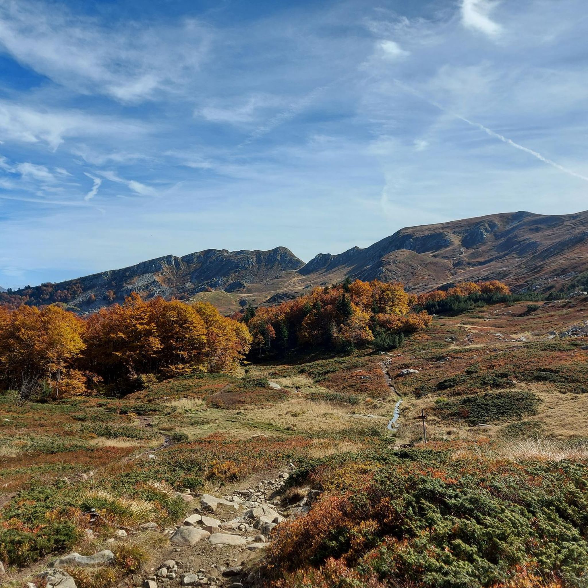
Jogging around Abetone offers diverse landscapes within the Tuscan Apennines, characterized by lofty peaks and dense forests. The region features significant elevations, including peaks like Alpe Tre Potenze and Monte Gomito, providing varied terrain for running. Extensive conifer and beech forests offer shaded, scenic routes, while picturesque alpine lakes and waterfalls add to the natural beauty. This mountainous environment provides a refreshing backdrop for physical activity.
Best jogging routes around Abetone
- The most popular jogging route is Pyramids of Passo…
Last updated: June 29, 2026
3.5
(2)
39
runners
10.6km
01:50
540m
550m
Hard run. Very good fitness required. Sure-footedness, sturdy shoes and alpine experience required.
23
runners
7.06km
00:53
140m
130m
Hard run. Good fitness required. Sure-footedness, sturdy shoes and alpine experience required.

Sign up for free
5
runners
25.2km
04:10
1,390m
1,390m
Hard run. Very good fitness required. Sure-footedness, sturdy shoes and alpine experience required.
12
runners
Moderate run. Good fitness required. Mostly paved surfaces. Suitable for all skill levels.
11
runners
Hard run. Very good fitness required. Sure-footedness, sturdy shoes and alpine experience required.
Get access to more routes and recommendations from other explorers.
Sign up for free
Already have an account?
Our route recommendations are based on thousands of hikes, rides, and runs completed by other people on komoot.
Start today with a free account
Your next adventure awaits.
Login or Signup
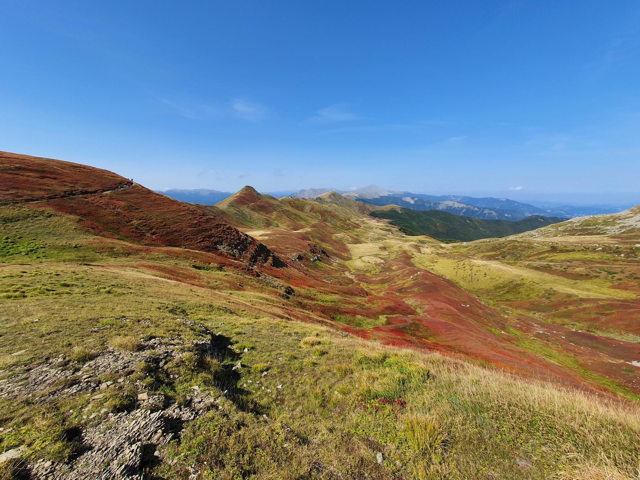
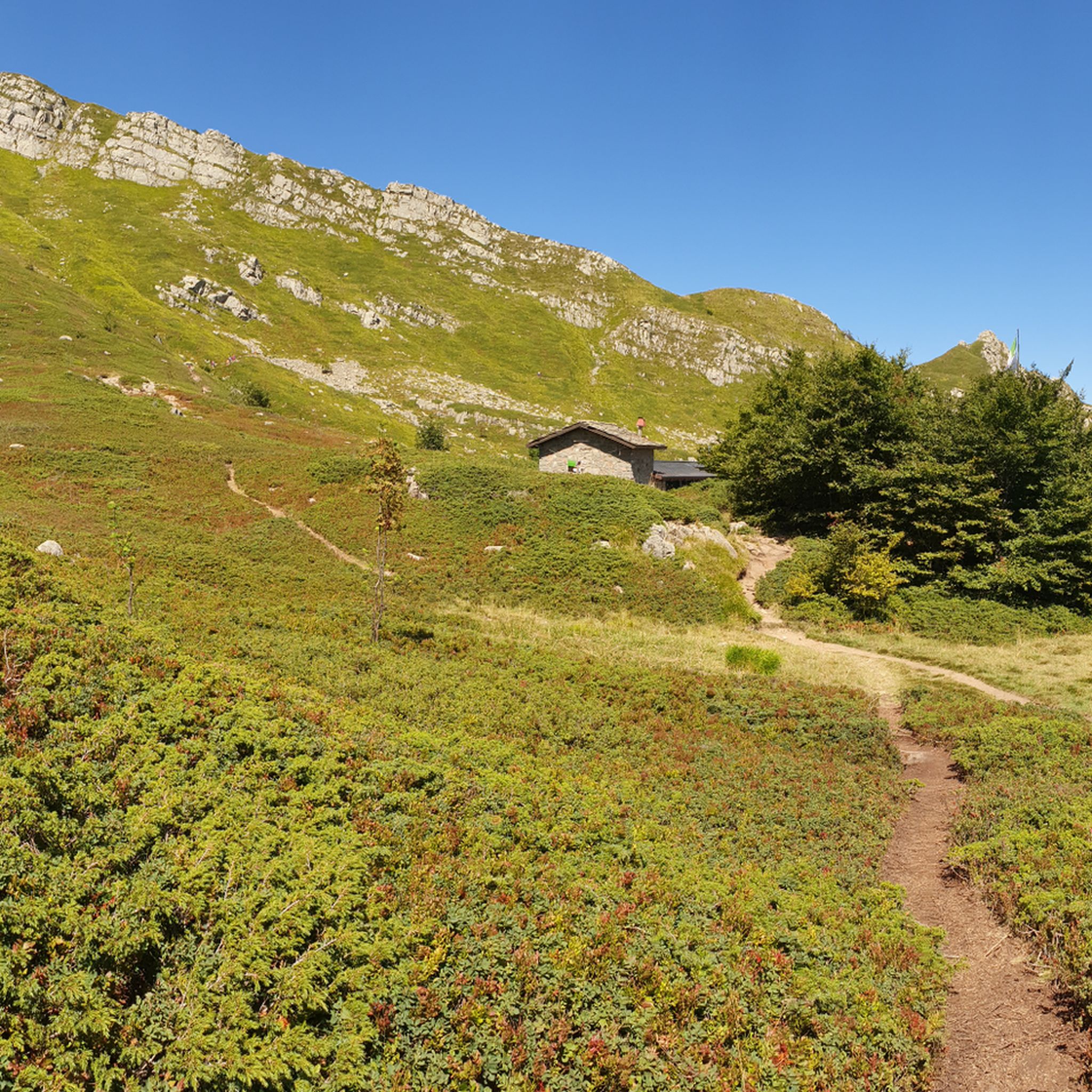
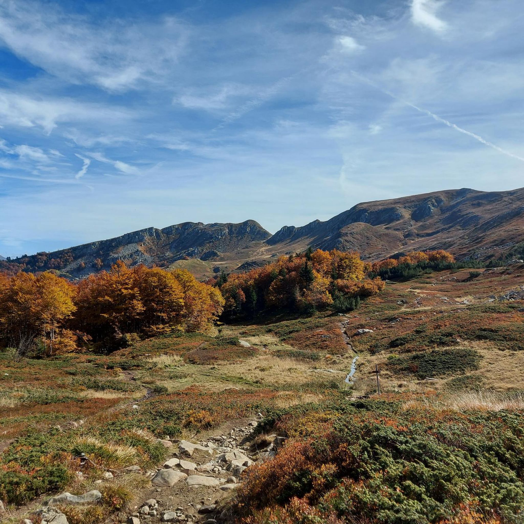
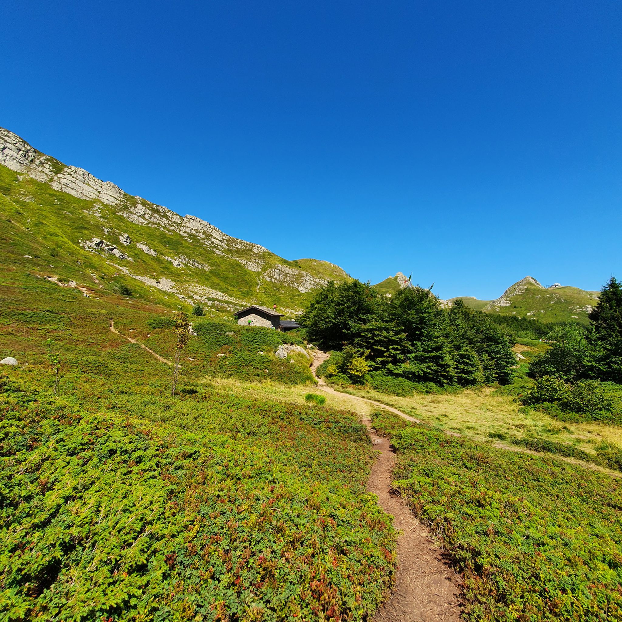


Other adventures around Abetone

Tips from the Community

lunar landscape, absolutely worth a visit, always visible from the CAI "Cresta Appenninica" path
0
0
you can go down towards the Taburri refuge or continue straight on the "Cresta Appenninica" path
0
0
point that remains between Monte Belvedere and Monte Rotondo
0
0
"Casetta di Lapo" is the last refreshment point before entering the Apennines. Plan your hike around this refreshment point.
0
0
woods above the virgin
0
0
From Fiumalbo to reach the panoramic point "casetta di lapo"
0
0
Mount Cimone! the panettone! with its 2165 meters it is the highest peak of the northern Apennines. Iconic point of arrival and special panoramic point as it is unique in Italy for this characteristic (from its summit it is possible to observe, on the clearest days, the largest land surface of the Italian territory, from the Gran Sasso Apennines to the Alpine mountain range)
0
0
Training for experts and those aware of their limits
0
0
Frequently Asked Questions
What kind of terrain can I expect on running routes around Abetone?
Jogging routes in Abetone are characterized by mountainous terrain, dense conifer and beech forests, and significant elevations. You'll find varied paths, from challenging uphill sections to more gradual forest trails, often leading to picturesque alpine lakes and waterfalls. The region offers a refreshing mountainous backdrop for physical activity.
Are there running routes suitable for beginners or those looking for an easier jog in Abetone?
While many routes in Abetone are rated as difficult due to the mountainous terrain, the extensive trail network does offer options for different ability levels. Look for trails that stick to lower elevations or more gradual forest paths for a less strenuous experience. The area's trails are generally well-marked, making navigation easier for all skill levels.
What are some notable natural features or landmarks I might see while running in Abetone?
Abetone's running routes offer stunning natural beauty. You might encounter picturesque alpine lakes such as Lago Nero or Lake Scaffaiolo, and crystal-clear waterfalls like the Doccione Waterfall or the Sassorso Waterfall. The region is also home to significant peaks like Alpe Tre Potenze and Monte Gomito, offering panoramic views. Don't miss the historic Pyramids of Passo dell'Abetone, which are featured on routes like the Pyramids of Passo dell'Abetone – Verginetta Pass loop from Abetone.
Are there any circular running routes available in Abetone?
Yes, many of the running paths in Abetone are designed as loops, allowing you to start and finish in the same location. Examples include the Pyramids of Passo dell'Abetone – Verginetta Pass loop from Abetone, the Boschi Sopra la Verginetta loop from Abetone, and the longer La Verginetta – Casetta di Lapo loop from Abetone Cutigliano. These circular routes provide a convenient way to explore the diverse landscapes.
What do other runners enjoy most about jogging in Abetone?
The running routes in Abetone are highly rated by the komoot community, with an average score of 4.9 stars from over 10 reviews. Runners often praise the stunning mountainous scenery, the refreshing air of the dense forests, and the variety of trails that cater to different fitness levels. The well-marked paths and the opportunity to discover picturesque lakes and waterfalls are also frequently highlighted.
Is Abetone a good destination for family-friendly running or walking?
Abetone offers a variety of trails, including some that are suitable for families. While many routes involve significant elevation, there are also easier, more gradual paths through the forests. These provide a pleasant environment for families to enjoy nature together. Always check the difficulty and distance of a specific route to ensure it matches your family's capabilities.
Can I bring my dog on the running trails in Abetone?
Generally, the extensive trail network in Abetone is welcoming to dogs, making it a great place for running with your canine companion. However, it's always advisable to keep your dog on a leash, especially in areas with wildlife or near other hikers. Be sure to carry water for both yourself and your dog, and respect local regulations or signage that might be present on specific trails.
What is the best time of year to go running in Abetone?
The best time for running in Abetone is typically during the warmer months, from late spring through early autumn. During this period, the trails are clear of snow, and the weather is pleasant for outdoor activities. The dense forests provide welcome shade in summer, and the alpine lakes are particularly beautiful. In summer, ski lifts are often operational, making higher-altitude trails more accessible.
Are there any mountain huts or places to get refreshments along the running routes?
Yes, the Abetone region is equipped with several mountain huts ('Rifugio') along its trail network. These huts often offer hospitality and refreshments, providing a welcome break during longer runs. For example, the Taburri Mountain Hut and Tassoni Hut are points of interest in the area, though their direct proximity to specific running routes should be checked on a map.
How many running routes are available around Abetone?
There are over 10 dedicated running routes around Abetone listed on komoot, with a total of 11 tours available. These routes cater to various preferences, from shorter loops to longer, more challenging mountain runs.
What are the typical distances and elevations for running routes in Abetone?
Running routes in Abetone vary significantly in distance and elevation. You can find shorter loops, such as the Pyramids of Passo dell'Abetone – Verginetta Pass loop from Abetone, which is about 7.1 km with around 137 meters of elevation gain. Longer and more challenging routes, like the La Verginetta – Mount Cimone loop from Abetone, can extend over 24 km with more than 1300 meters of ascent, offering significant challenges for experienced runners.
Are there options for public transport to access trails in Abetone?
While Abetone is a mountain town, information on specific public transport links directly to trailheads can vary. It's generally recommended to check local bus schedules or consider driving to access the starting points of many trails. The town itself is a hub for outdoor activities, and many routes begin directly from or near the center of Abetone.
Most popular routes around Abetone
Most popular attractions around Abetone

Get inspired with the komoot mobile app


Explore more
Browse the best Running Trails & Routes in other regions.
