The best mountain hikes around Abetone
4.3
(12)
53
hikers
11
hikes
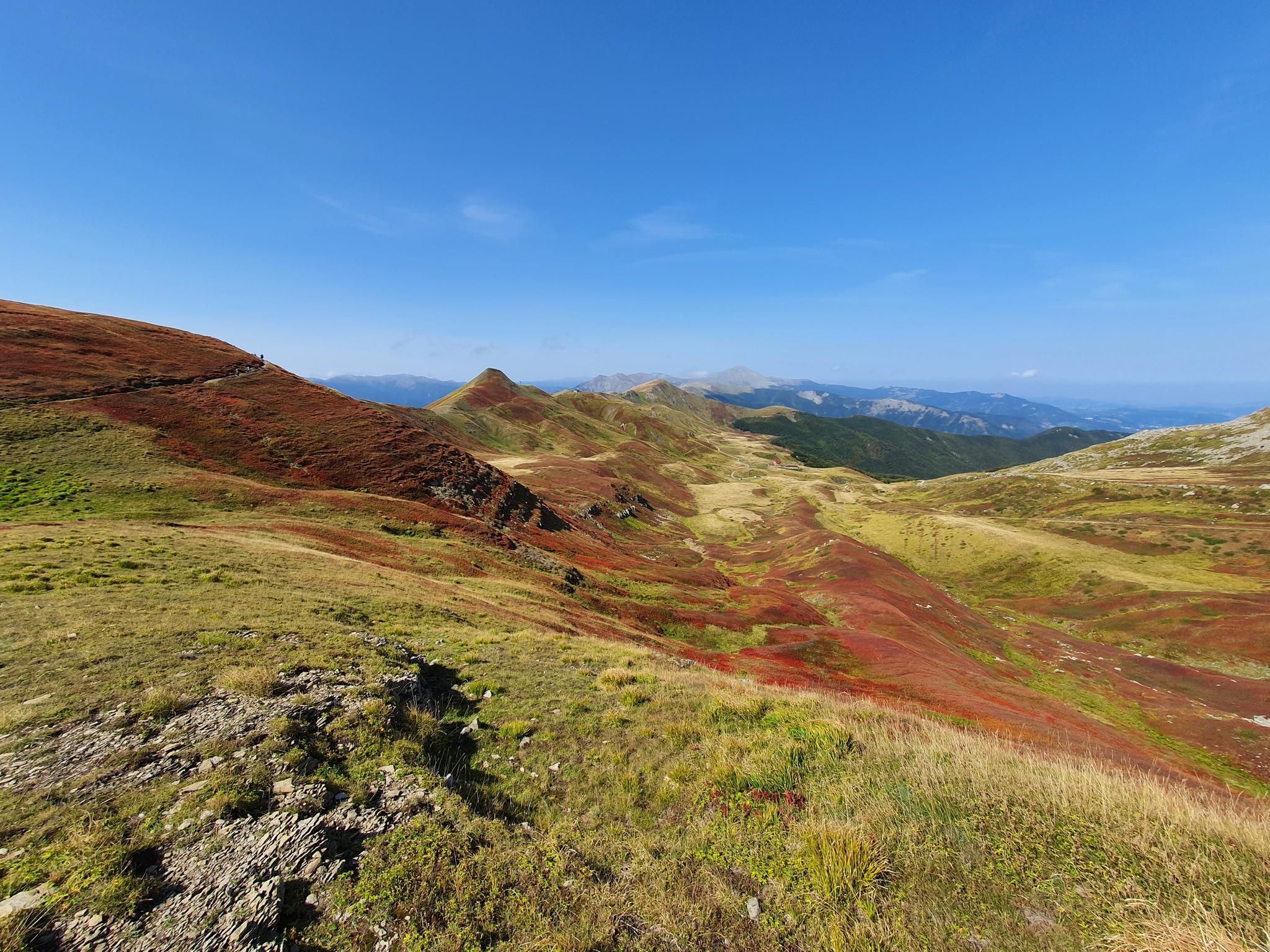
Mountaineering around Abetone offers diverse terrain within the Tuscan-Emilian Apennines, characterized by significant peaks and high-altitude landscapes. The region features prominent summits such as Alpe Tre Potenze (1,940 m) and Monte Gomito (1,892 m), alongside the distinctive "Libro Aperto" formation. Pristine mountain lakes like Lago Nero are popular destinations, often reached through routes traversing dense beech and fir forests. This varied topography provides challenging ascents and ridge walks for experienced mountaineers.
Best mountaineering routes around Abetone
- The most popular mountaineering…
Last updated: July 5, 2026
4.3
(3)
15
hikers
Hard mountaineering route. Good fitness required. Sure-footedness, sturdy shoes and alpine experience required.
4.7
(3)
9
hikers
10.6km
04:13
530m
530m
Moderate mountaineering route. Good fitness required. Mostly accessible paths. Sure-footedness required.

Sign up for free
4.0
(1)
9
hikers
4.78km
02:43
470m
470m
Hard mountaineering route. Good fitness required. Sure-footedness, sturdy shoes and alpine experience required.
5.0
(2)
5
hikers
13.3km
05:33
740m
740m
Hard mountaineering route. Very good fitness required. Sure-footedness, sturdy shoes and alpine experience required.
5.0
(1)
3
hikers
11.7km
04:39
760m
760m
Moderate mountaineering route. Good fitness required. Mostly accessible paths. Sure-footedness required.
Get access to more routes and recommendations from other explorers.
Sign up for free
Already have an account?
Our route recommendations are based on thousands of hikes, rides, and runs completed by other people on komoot.
Start today with a free account
Your next adventure awaits.
Login or Signup

Other adventures around Abetone

Tips from the Community

Make sure there is no strong wind
0
0

In summer, Balzi dell'Ora is a challenging CAI trail due to its exposure and some technical sections. In winter, with snow and ice, it's a winter mountaineering route that, depending on snow conditions, could be quite respectable. I climbed it alone with two ice axes and crampons. If you're climbing as a team in the conditions I encountered, I think sure-footedness and experience are essential, as there are many traverses and ridge sections with sparse protection, and you'll obviously need adequate winter mountaineering gear. In any case, it's a beautiful climb with magnificent views and a very rewarding experience.
0
0
In winter, with the right snow conditions, the Punta Sofia cross is a popular destination, ascending from the Balzi dell'Ora or the north gullies, or from the east face (a more complicated option). In other seasons, it's a beautiful hike along the various CAI trails. On clear days, you can admire a breathtaking view.
0
0
In winter, the second gully (starting from the left) has the steepest exit, 60/70 degrees, depending on the snow. I recommend tackling it with two ice axes. If you're climbing in a roped-up rock, about 60 meters from the gully exit, there's a bolt on the right that's useful for a belay. Another bolt is located at the gully exit, but it's often covered by the ship. It's obviously a good idea to check the snow conditions and equip yourself with the appropriate winter mountaineering gear.
0
0

A refuge with renovated private rooms and excellent cuisine. It's an excellent starting point for various hikes in the area, and the management is very friendly. From the (paid) parking lot, it's about a 10-minute walk uphill to the refuge. The manager, Massimo, is a wonderful person; it's always a pleasure to return!
1
0

The summit of Mount Cupolino behind Lake Scaffaiolo
0
0

Monte Giovo, 1991 metres, is the highest peak in this part of the Apennines.
0
0
Mount Cimone! the panettone! with its 2165 meters it is the highest peak of the northern Apennines. Iconic point of arrival and special panoramic point as it is unique in Italy for this characteristic (from its summit it is possible to observe, on the clearest days, the largest land surface of the Italian territory, from the Gran Sasso Apennines to the Alpine mountain range)
0
0
Frequently Asked Questions
How many mountaineering routes are available around Abetone?
There are 18 mountaineering routes around Abetone, offering a range of experiences from moderate to difficult. These trails are highly rated by the komoot community, with an average score of 4.6 stars.
What kind of natural features can I expect to see on mountaineering routes in Abetone?
Mountaineering routes in Abetone traverse diverse landscapes, including significant Apennine peaks like Alpe Tre Potenze and Monte Gomito, as well as the distinctive "Libro Aperto" formation. You'll also encounter pristine mountain lakes such as Lago Nero, and dense beech and fir forests. Many routes offer breathtaking panoramic views of the Tuscan-Emilian Apennines.
Are there any family-friendly mountaineering options in Abetone?
While many mountaineering routes in Abetone are challenging, some areas offer easier sections or trails suitable for families looking for a less strenuous mountain experience. For example, the Lago della Risaia – Monte Rotondo loop from Abetone is rated moderate and leads through forests and past mountain lakes, which might be suitable for active families. Always check the specific route's difficulty and elevation gain before heading out.
What is the best time of year for mountaineering in Abetone?
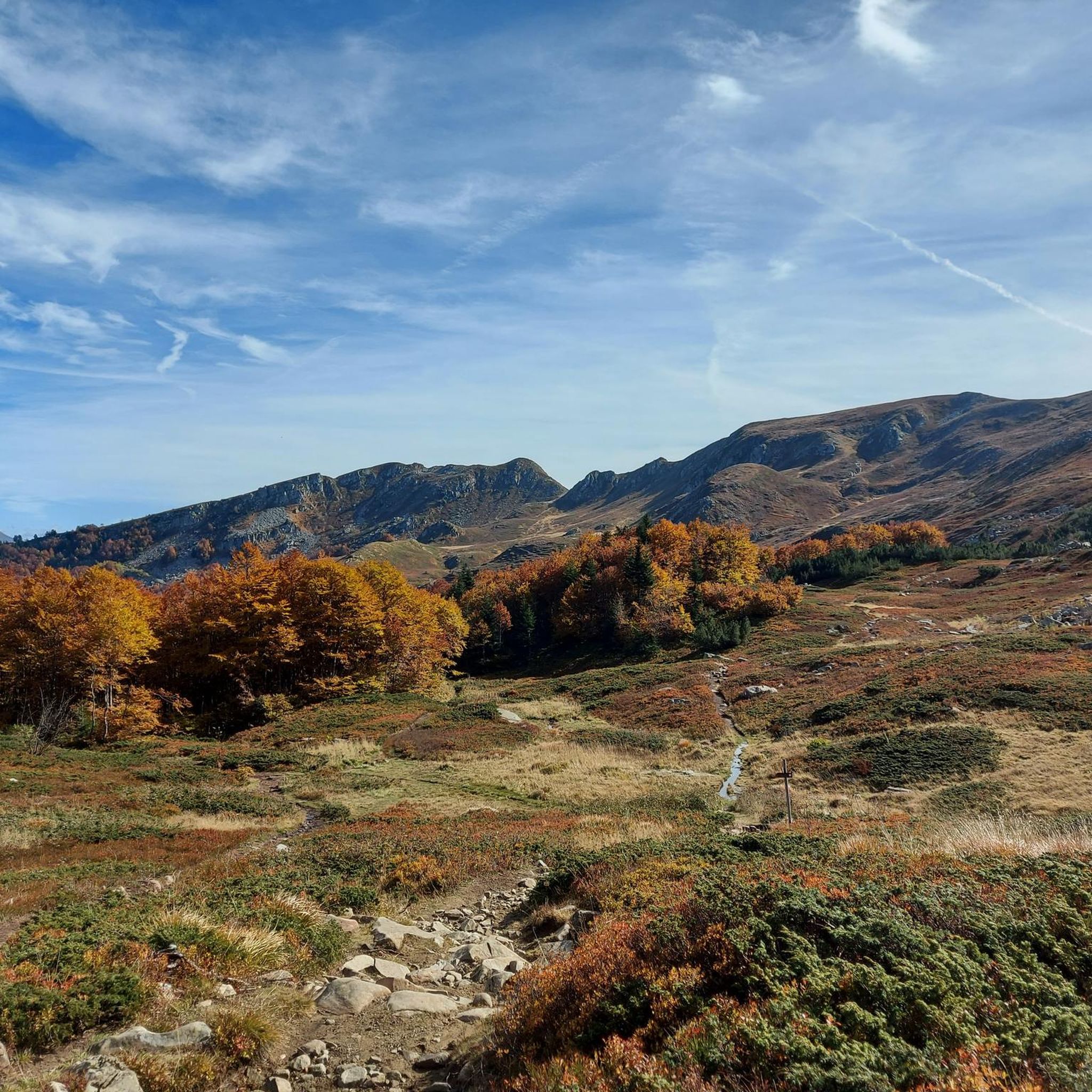
The best time for mountaineering in Abetone is typically from late spring through early autumn (May to October). During these months, the weather is generally more stable, and trails are free of snow, making for safer and more enjoyable conditions. Summer offers lush forests and pleasant temperatures at higher altitudes, while autumn brings vibrant foliage.
Are there any circular mountaineering routes in Abetone?
Yes, Abetone offers several circular mountaineering routes. A popular option is the Lago Scaffaiolo – Punta Sofia loop from Madonna dell'Acero, which takes about 3.5 hours and offers views of mountain lakes and Apennine ridges. Another is the Altaretto – Monte Giovo loop from Lago Santo modenese, a more difficult path traversing high-altitude landscapes.
What are some notable landmarks or viewpoints along the mountaineering trails?
Along the mountaineering trails, you can discover several significant landmarks and viewpoints. Highlights include the summit of Sofia Peak, offering expansive views, and the serene Lake of the Nymph. The area also features the Monte Cimone Summit and the picturesque Laghetto del Cavone. Many routes also pass by mountain huts like the Tassoni Hut, which can serve as resting points.
Are there any waterfalls or gorges to explore near the mountaineering routes?
Yes, the Abetone region is also home to impressive gorges and waterfalls. You can explore the Orrido di Botri Nature Reserve, known for its deep canyon, or visit The Cocciglia Gorges and the Lima Stream. For waterfalls, the Rio Monio Waterfalls (Pollina Waterfalls) are a beautiful sight to behold.
What is the difficulty level of mountaineering routes in Abetone?
Mountaineering routes in Abetone range from moderate to difficult. Approximately half of the routes are classified as difficult, involving significant elevation gains and challenging terrain, suitable for experienced mountaineers. The other half are moderate, offering accessible yet rewarding experiences. Always check the specific route details on komoot for an accurate assessment of its difficulty.
Are there mountain huts or places to stop for refreshments along the trails?
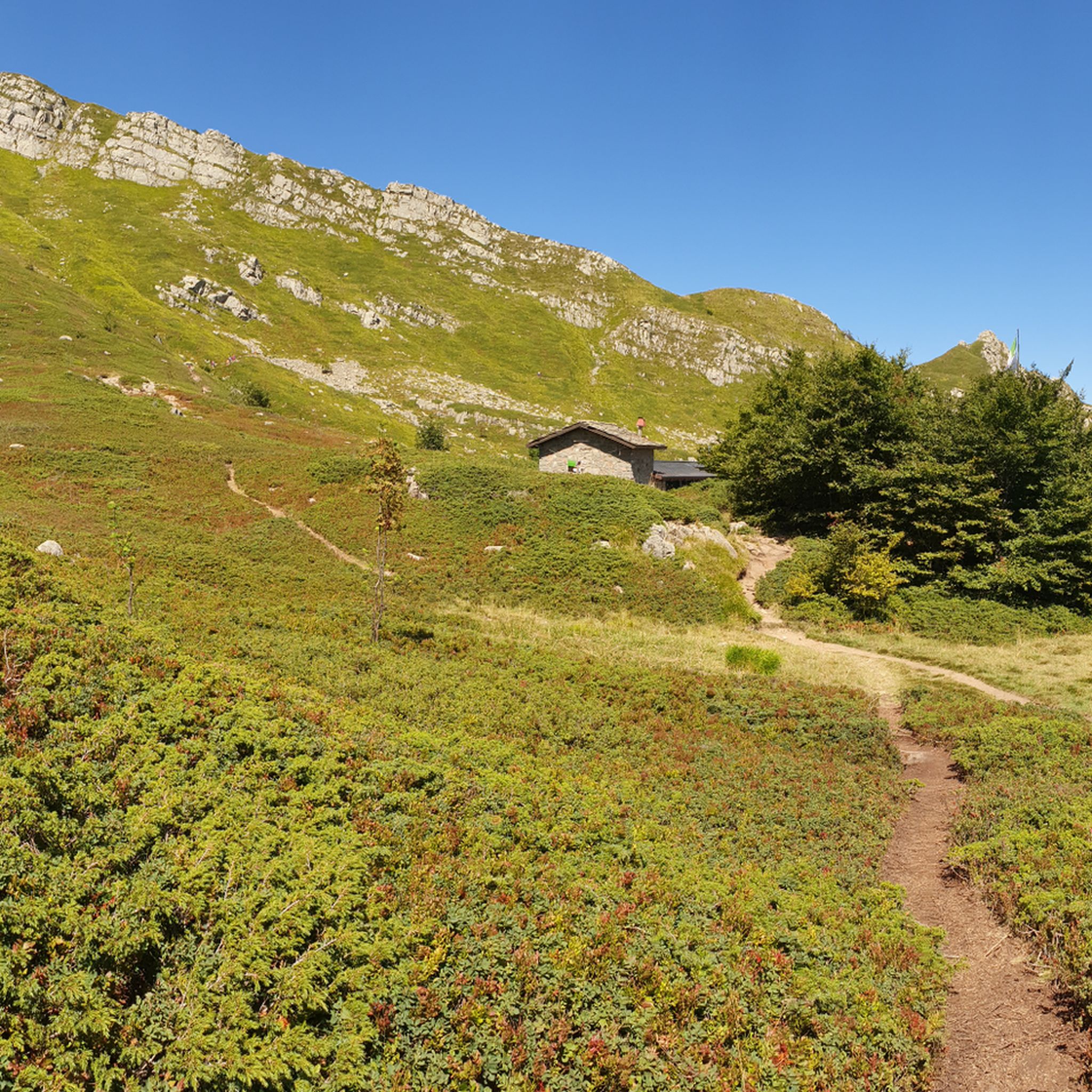
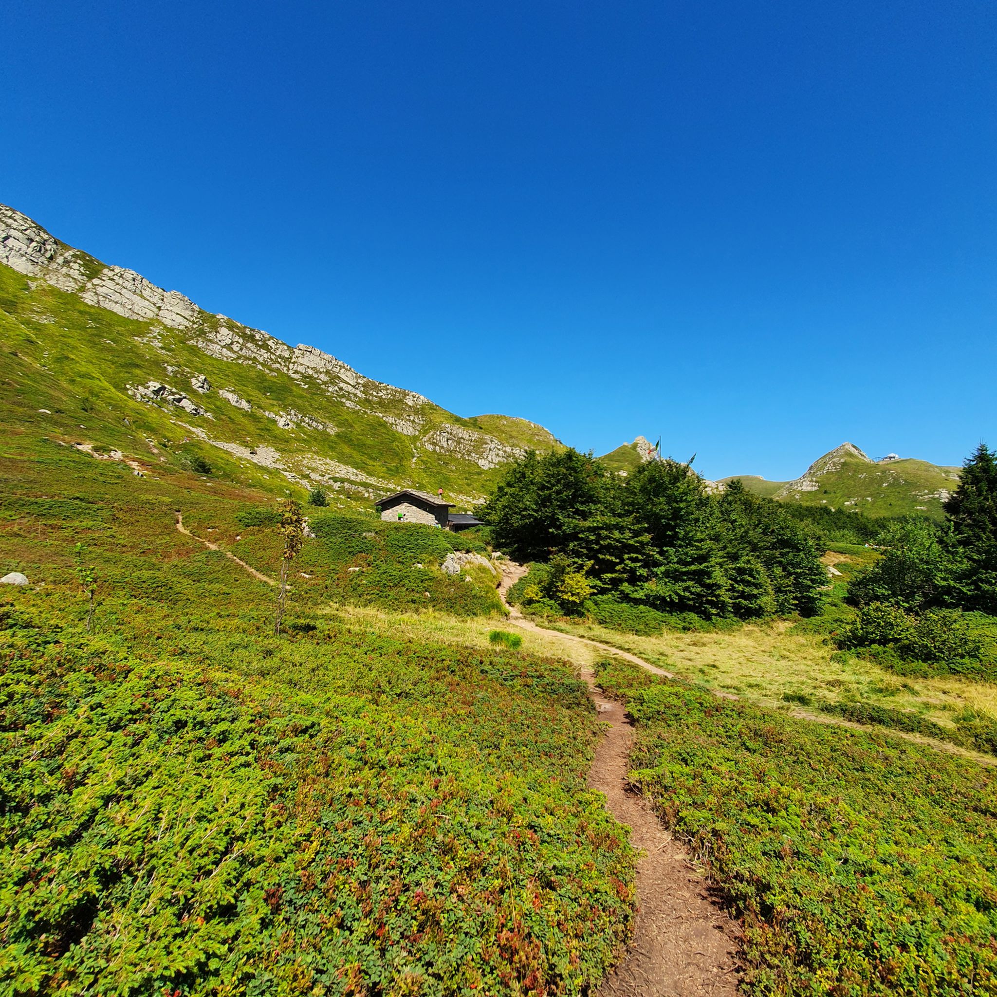
Yes, several mountain huts are available along the hiking itineraries in Abetone, providing hospitality, shelter, and local food specialties. For instance, near Lago Nero, you can find the Rifugio Lago Nero. The Tassoni Hut is another example of a place where you might find refreshments or a place to rest.
What do other mountaineers enjoy most about the Abetone region?
The Abetone region is highly rated by the komoot community, with an average score of 4.6 stars from over 15 reviews. Mountaineers often praise the diverse terrain, from challenging Apennine peaks to serene mountain lakes and dense forests. The variety of routes, catering to different skill levels, and the stunning panoramic views are frequently highlighted as key attractions.
Is there parking available near the starting points of mountaineering routes?
Yes, parking is generally available near the starting points of many mountaineering routes in Abetone. For example, routes often begin from locations like Madonna dell'Acero or Abetone itself, where parking facilities are typically provided. It's advisable to check specific route descriptions or local information for the most convenient parking options for your chosen trail.
Can I bring my dog on the mountaineering trails in Abetone?
Many trails in the Abetone region are dog-friendly, allowing you to enjoy the mountain scenery with your canine companion. However, it's always recommended to check local regulations and specific trail rules before you go, especially in protected areas or nature reserves. Ensure your dog is well-behaved, on a leash where required, and that you carry waste bags.
Most popular routes around Abetone
Most popular attractions around Abetone

Get inspired with the komoot mobile app


Explore more
Browse the best Mountain Hikes & Routes in other regions.
