The 20 Most Amazing Peaks around Folgaria
Best mountain peaks around Folgaria are located within the Alpe Cimbra plateau in the Trentino region of Italy. This area is characterized by diverse hiking opportunities and significant historical relevance, particularly concerning World War I. The peaks offer a blend of natural beauty and varied terrain for different skill levels. Many trails feature historical landmarks, trenches, and fortifications from World War I.
Best mountain peaks around Folgaria
- The most popular mountain peaks is Cima Vezzena Summit and Fort, a…
Last updated: October 11, 2026
Adige Cycle Path (Etsch Valley Cycle Path)
Highlight • Cycleway
Translated by Google •
Tip by

Cima Vezzena Summit and Fort
Highlight • Summit
Translated by Google •
Tip by

Sign up now to discover places like this
Get recommendations on the best single tracks, peaks, & plenty of other exciting outdoor places.
Street of Heroes
Highlight (Segment) • Trail
Translated by Google •
Tip by
Monte Maggio
Highlight • Summit
360 * panorama once you reach the top.
Translated by Google •
Tip by

Marzola Peak
Highlight • Summit
Translated by Google •
Tip by

Sign up for free to discover even more peaks around Folgaria.
Already have an account?
Start today with a free account
Your next adventure awaits.
Popular around Folgaria

The Path of Peace – journey into Trentino's history
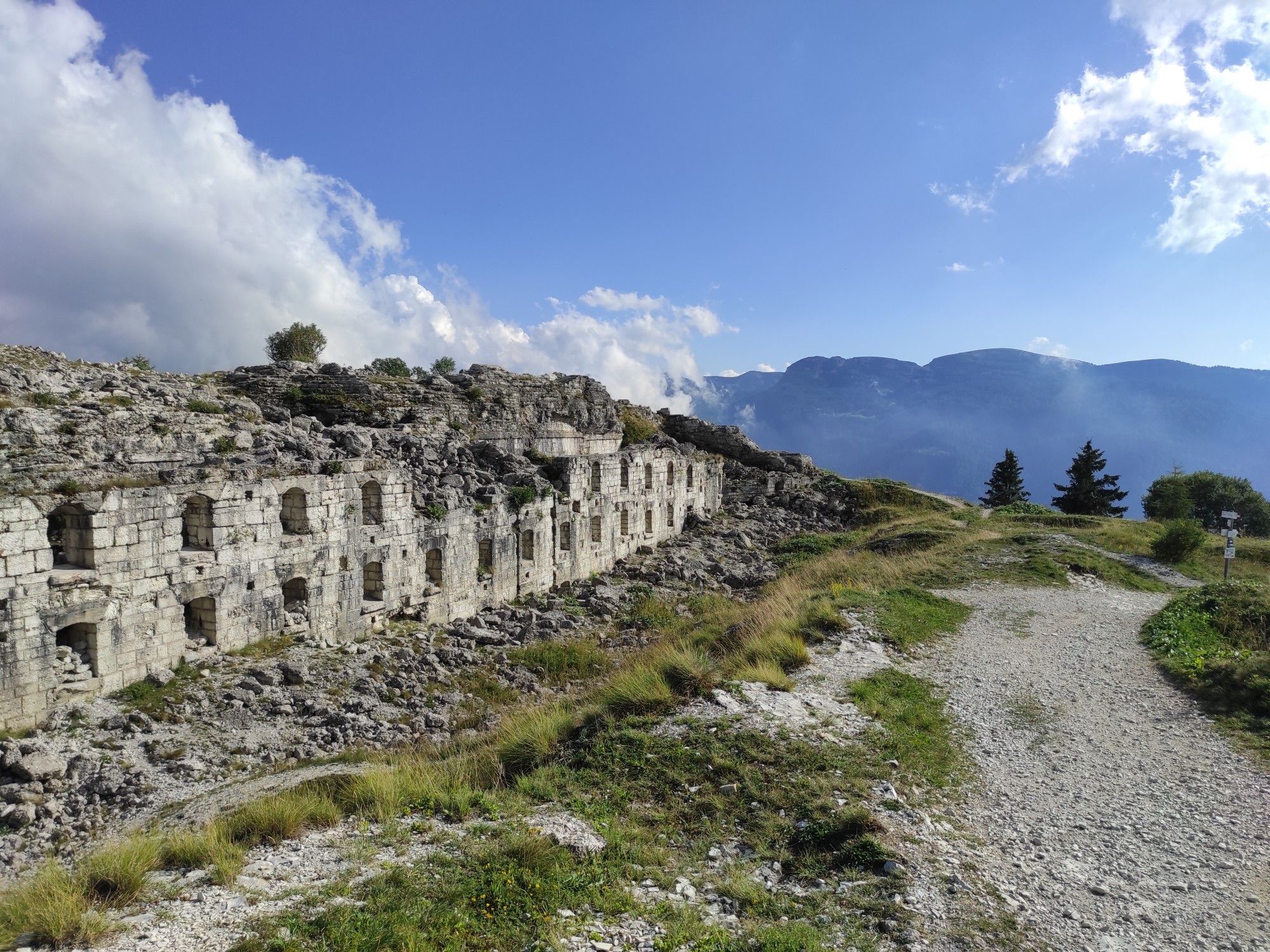
A ride through history and nature – 100Km dei Forti
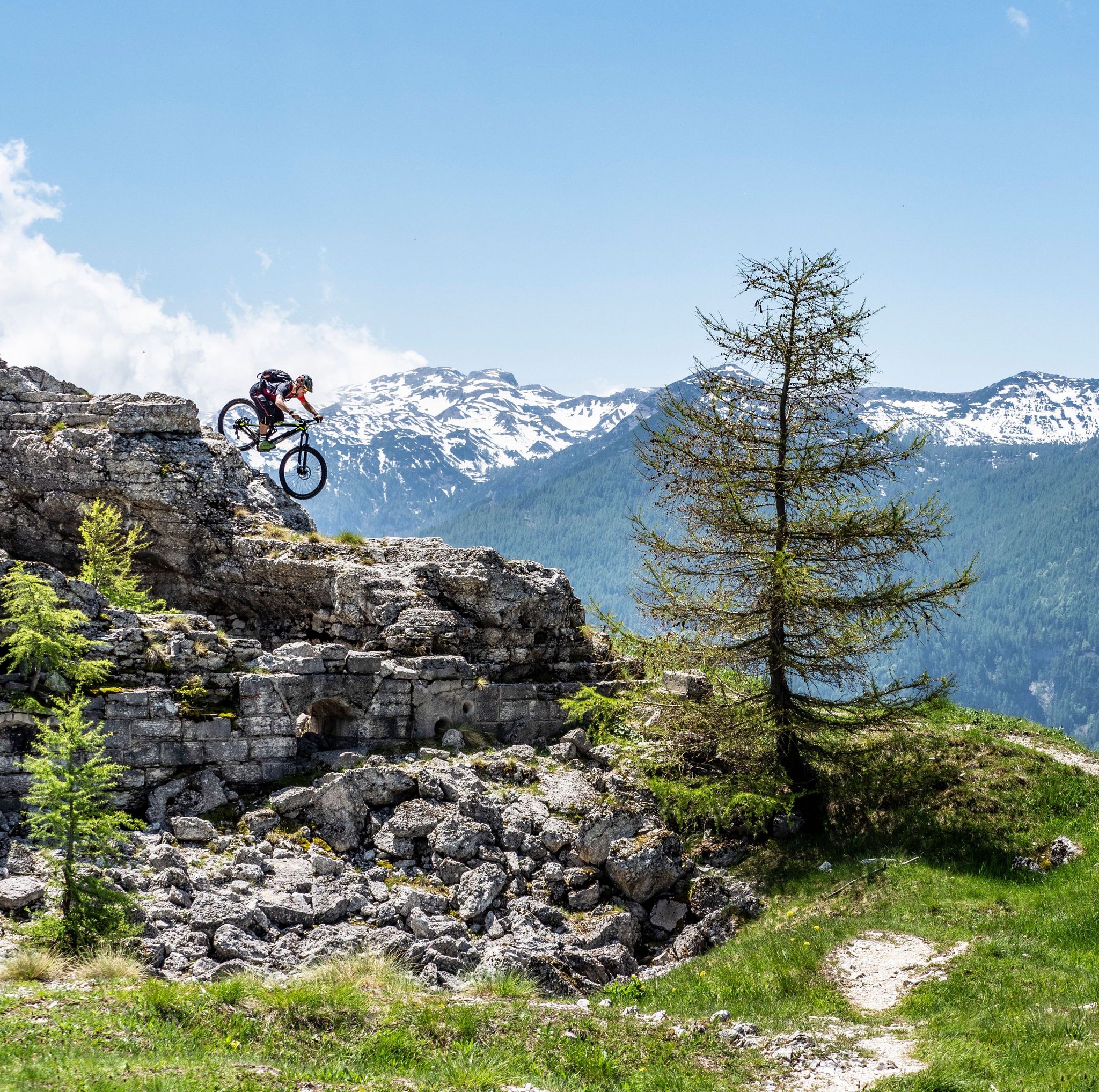
Free your energy! The mountain bike routes of Alpe Cimbra
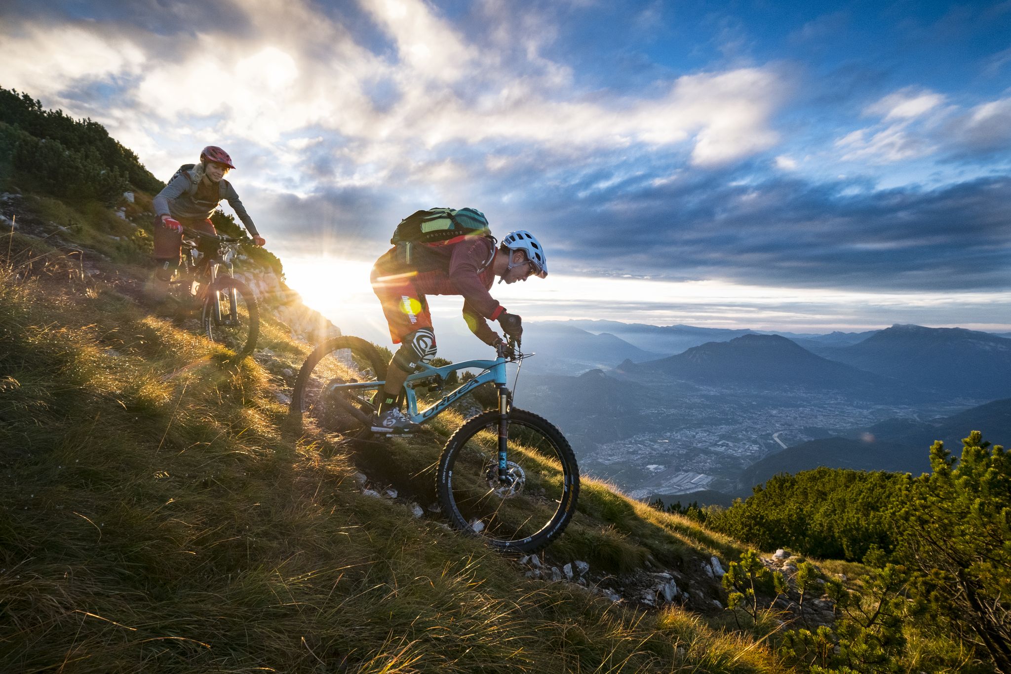
Mountain Biking in Trentino — from the Dolomites to Lake Garda
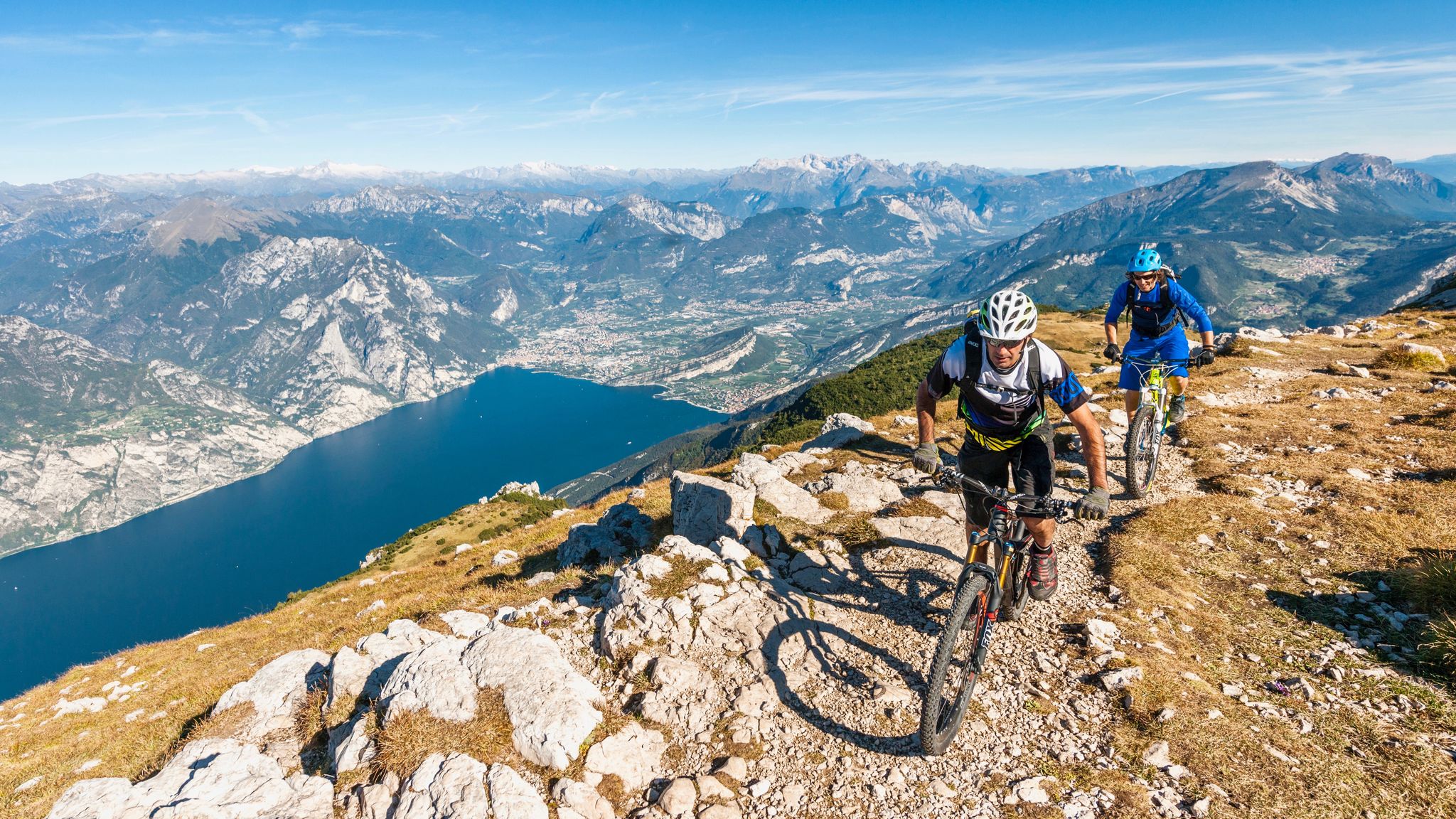
Mediterranean bike tours in alpine altitudes
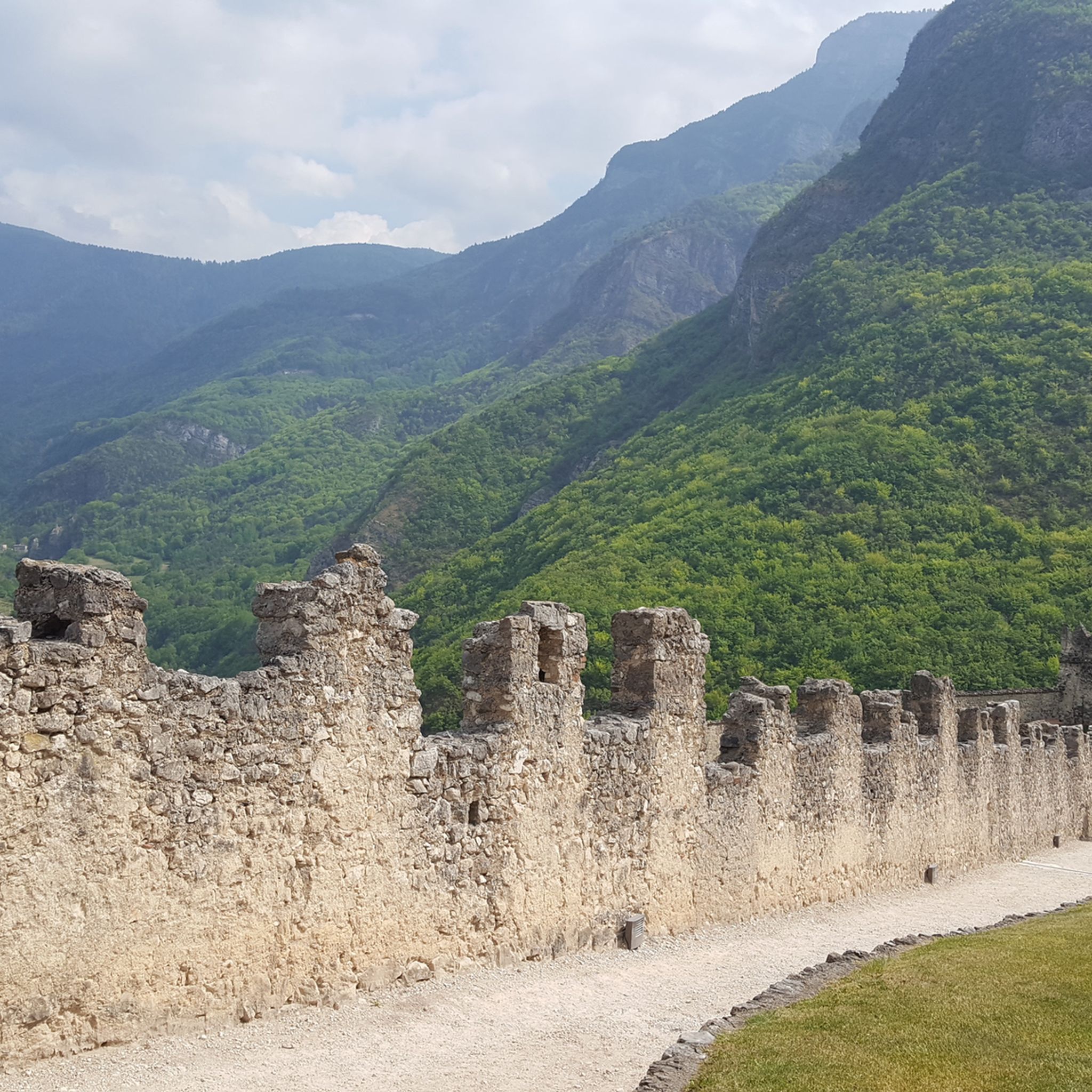
Hiking around Folgaria
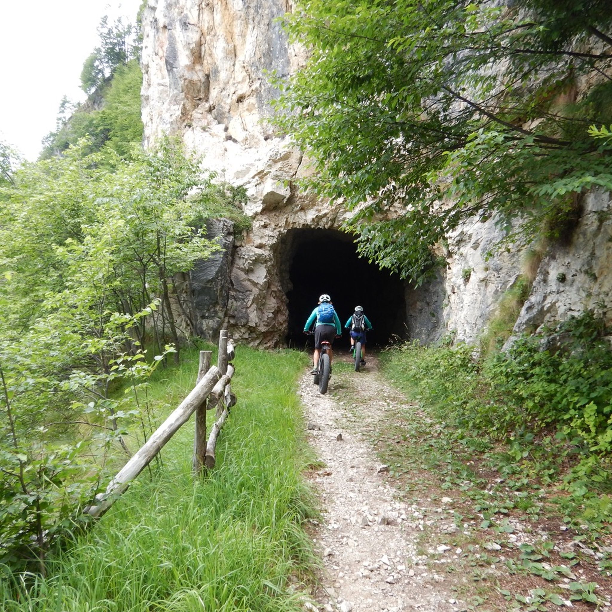
MTB Trails around Folgaria
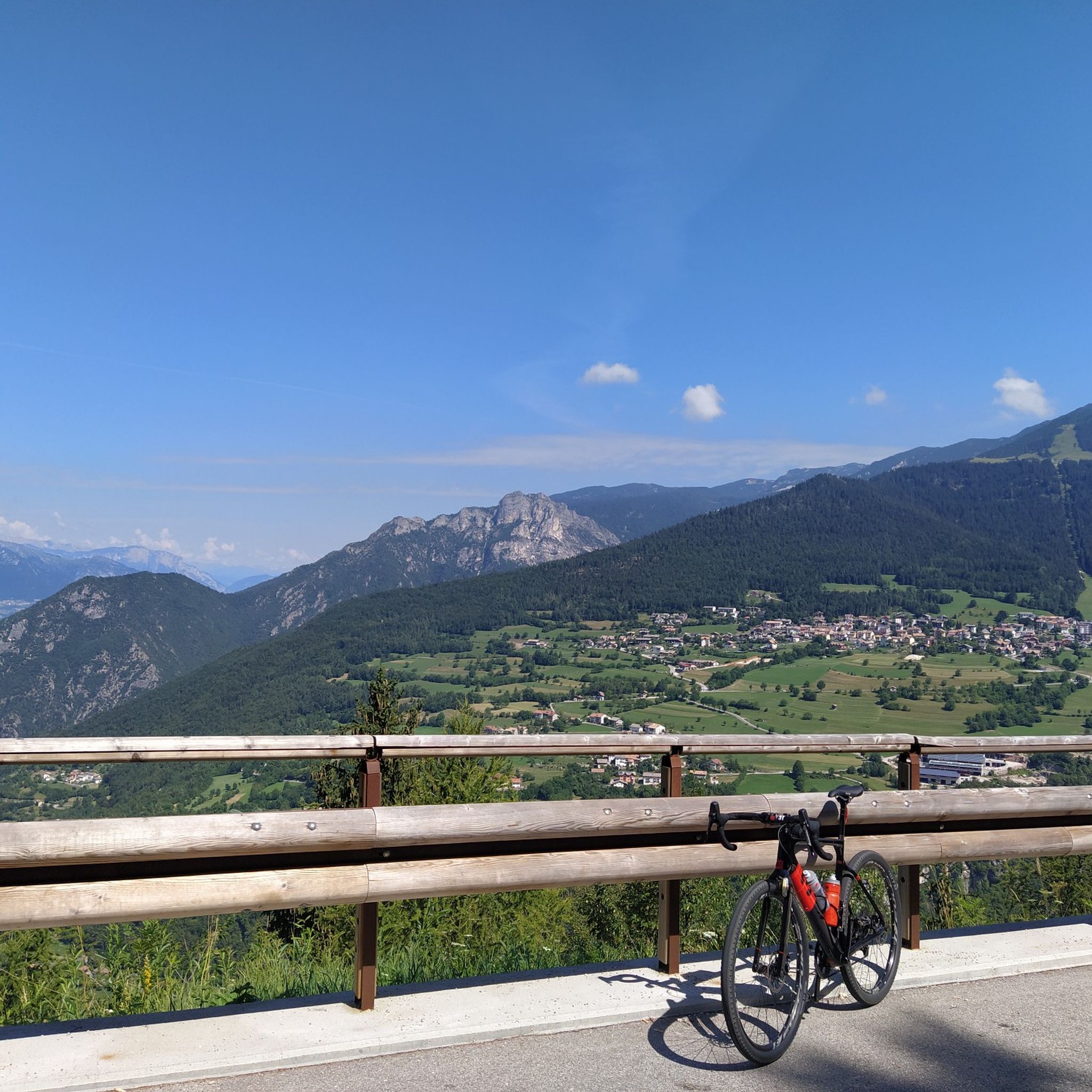
Cycling around Folgaria
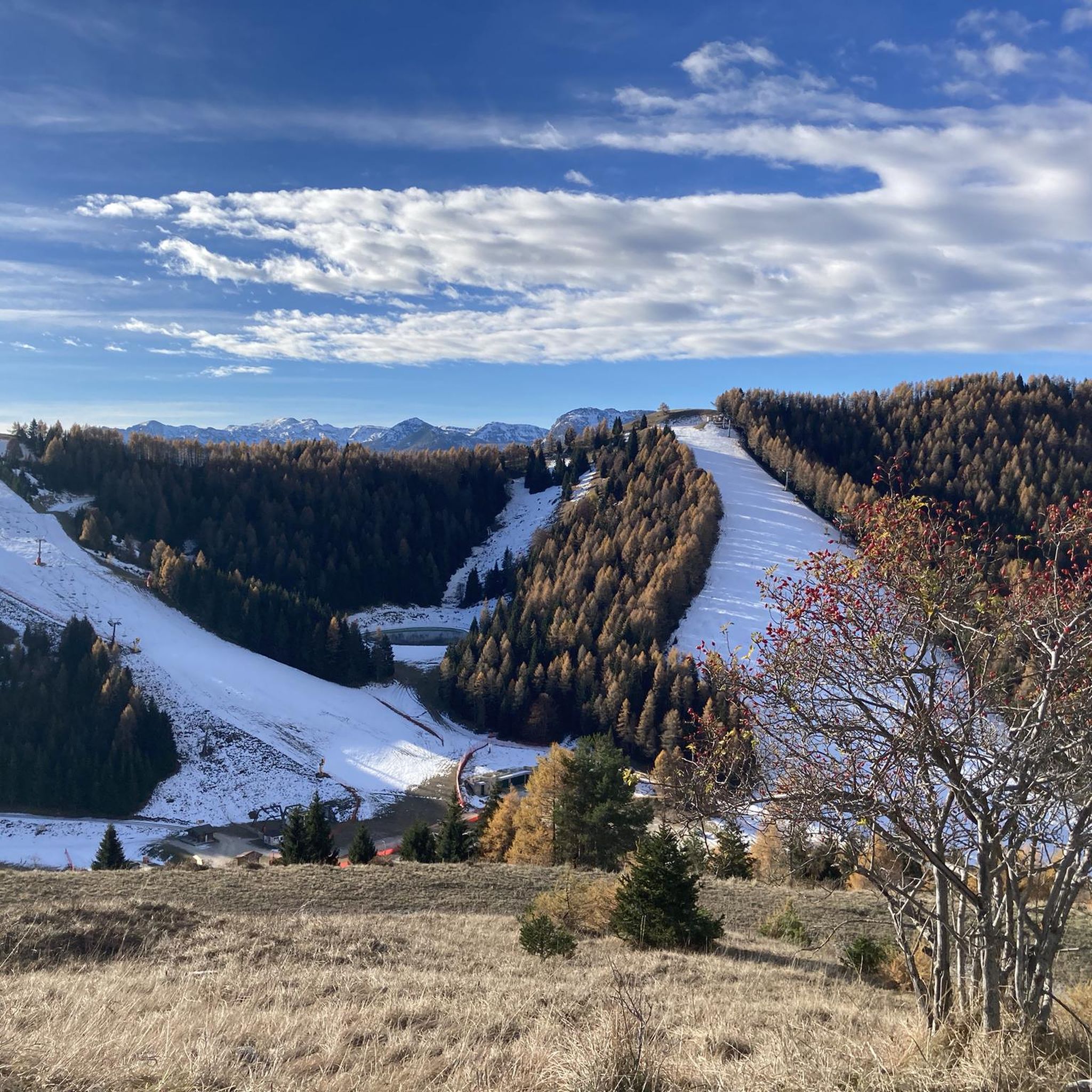
Road Cycling Routes around Folgaria

Gravel biking around Folgaria
Other adventures around Folgaria


Tips from the Community

DO NOT GO UP TO MONTE MAGGIO BY THE TRACK ⚠️ but take the dirt road from Passo Coe, changing the track👍
1
0


From the summit of Monte Maggio (1853 m) the view is majestic: on one side the view extends over the Passo Coe, the Alpe Cimbra, the Becco di Filadonna, and beyond; on the other, over the underlying basin of Laghi, the Tonezza plateau and the Asiago plateau, the Pasubio, the Novegno, up to the glimpse of the Venetian plain that widens at lower altitudes. During the First World War, Monte Maggio was disputed from the beginning of the conflict, given that the border between the Austro-Hungarian Empire and the Kingdom of Italy (today between Trentino and Vento) passed on its crest: trenches and cave shelters are still clearly visible all around. https://it.wikipedia.org/wiki/Monte_Maggio
0
0

The Road of Heroes owes its name to the twelve plaques affixed along it in honor of the twelve gold medals for military valor who fought on Pasubio during the Great War. The twelve people remembered are: Lieutenant Cesare Battisti, Captain Aldo Beltricco, Bersagliere Torquato Cardelli, Lieutenant Umberto Cerboni, Major Felice Chiarle, Second Lieutenant Fabio Filzi, Colonel Antonio Gioppi, Second Lieutenant Giordano Ottolini, Major Mario Rossani , Colonel Eduardo Suarez, Second Lieutenant Ferdinando Urli, Lieutenant Carlo Sabatini.
1
0
A stretch of road on the Pasubio massif, in the Vicenza Pre-Alps, the Strada degli Eroi was built following the First World War to provide the summit area of the mountain with a safe access route. The actual Road of Heroes is the approximately two kilometer long stretch that connects the Giuseppe d'Havet Gallery to the Achille Papa refuge: this stretch is in a certain sense the appetizer.
1
0

Very beautiful stretch of route along the Etsch. The entire stage, which leads through an impressive landscape, is very varied. Well-developed cycle paths, great places, friendly people, a relaxed tour. It seems that it gets a little better and more beautiful each time. Recommended.
10
0


Frequently Asked Questions
What are some of the most popular mountain peaks to visit around Folgaria?
Among the most popular peaks, you'll find Cima Vezzena Summit and Fort, which offers panoramic views over Valsugana and the lakes of Levico and Caldonazzo. Another favorite is Monte Maggio Summit Cross, known for its 360-degree panorama. Mount Palon is also highly regarded as the highest peak in the Pasubio massif, offering spectacular vistas.
Are there mountain peaks around Folgaria with significant historical importance?
Yes, the region is rich in World War I history. Mount Palon, the highest peak in the Pasubio massif, was a crucial Italian defensive line and features extensive tunnel systems like the 'Galleria Papa'. Monte Finonchio is accessible via a historic WWI trail (Route 104), and Monte Maggio is part of the 'Peace Trail Loop', both offering historical landmarks.
Which mountain peaks offer the best panoramic views in the Folgaria area?
Cima Vezzena Summit and Fort provides a panoramic terrace overlooking the Valsugana and the lakes of Levico and Caldonazzo. Monte Maggio Summit Cross offers a 360-degree panorama once you reach the top. Additionally, Mount Palon boasts a spectacular 360° panorama stretching from the Veneto Plain to the Adamello glaciers and the peaks of Alto Adige.
Are there any family-friendly mountain peaks or trails suitable for beginners near Folgaria?
While many peaks offer challenging ascents, some routes are suitable for families. For instance, the hike to Forte Vezzena (Cima Vezzena) is described as feasible with children and offers great views. Monte Finonchio can be reached via a moderate 5.5-mile historic WWI trail, which is a good option for those seeking a less strenuous experience with historical interest.
What kind of terrain can I expect on the mountain trails around Folgaria?
The terrain around Folgaria's mountain peaks is diverse. You can expect challenging hikes with substantial elevation gain, such as the Cornetto di Folgaria loop on Monte Cornetto. Other routes, like the Becco di Filadonna crossing, feature dizzying rock formations and offer a truly alpine experience. Many trails also incorporate military mule tracks and old carriage roads, especially those leading to historical sites.
What outdoor activities can I do near these mountain peaks?
Beyond peak bagging, the Folgaria area offers a wide range of outdoor activities. You can explore various mountain hikes, including challenging mountaineering routes like the Achille Papa Hut – Strada Scarubbi loop. There are also numerous running trails, such as the Forra del Lupo Trail loop, and extensive cycling routes, including the Forts of Folgaria loop. For more details on these activities, refer to the Mountain Hikes around Folgaria, Running Trails around Folgaria, and Cycling around Folgaria guides.
When is the best time to hike the mountain peaks around Folgaria?
The best time for hiking in the Folgaria mountains is generally during the warmer months, from late spring to early autumn, when trails are clear of snow and weather conditions are more stable. Summer offers pleasant temperatures for exploring, but always check the local weather forecast before heading out, as conditions can change rapidly in the mountains.
Are there any specific challenging mountain peaks for experienced hikers near Folgaria?
Experienced hikers seeking a challenge will find it on peaks like Monte Cornetto, which offers a 7.7-mile loop with significant elevation gain. Becco di Filadonna is described as providing a truly alpine experience with demanding trails and spectacular geological features, considered one of the most authentically alpine routes in Alpe Cimbra.
Can I bring my dog on the mountain trails around Folgaria?
While many outdoor areas in Trentino are dog-friendly, it's always best to check specific trail regulations or park rules before bringing your dog. Generally, dogs are welcome on leash on most hiking trails, but some protected areas or specific routes might have restrictions. Ensure your dog is well-behaved and that you carry waste bags.
What are the access points and parking options for mountain peaks in Folgaria?
Access to many peaks is often from specific passes or villages. For example, Cima Vezzena Summit and Fort can be reached from the Vezzena pass. Monte Maggio is accessible from Passo Coe. Parking is typically available at trailheads or nearby villages, but it's advisable to check specific starting points for each route for detailed parking information.
What do visitors enjoy most about the mountain peaks around Folgaria?
Visitors consistently appreciate the stunning natural beauty and the diverse hiking opportunities. The blend of challenging ascents with significant historical relevance, particularly the World War I fortifications and trenches, adds a unique dimension to the experience. The panoramic views from summits like Cima Vezzena and Mount Palon are also frequently highlighted as major draws.
Are there any cafes or restaurants near the mountain trails in Folgaria?
Yes, you can often find cafes or rifugios (mountain huts) near popular trailheads or along longer routes, especially in a well-developed tourist region like Folgaria. These provide opportunities for refreshments and meals. For example, Monte Finonchio is accessible via a trail leading to Rifugio Finonchio. It's recommended to check the specific route you plan to take for information on available amenities.
Most popular routes around Folgaria
Most popular attractions around Folgaria

Get inspired with the komoot mobile app


Explore more
See even more amazing summits around Folgaria with these guides:
