The best running trails around Tizzano Val Parma
4.8
(5)
916
runners
13
runs
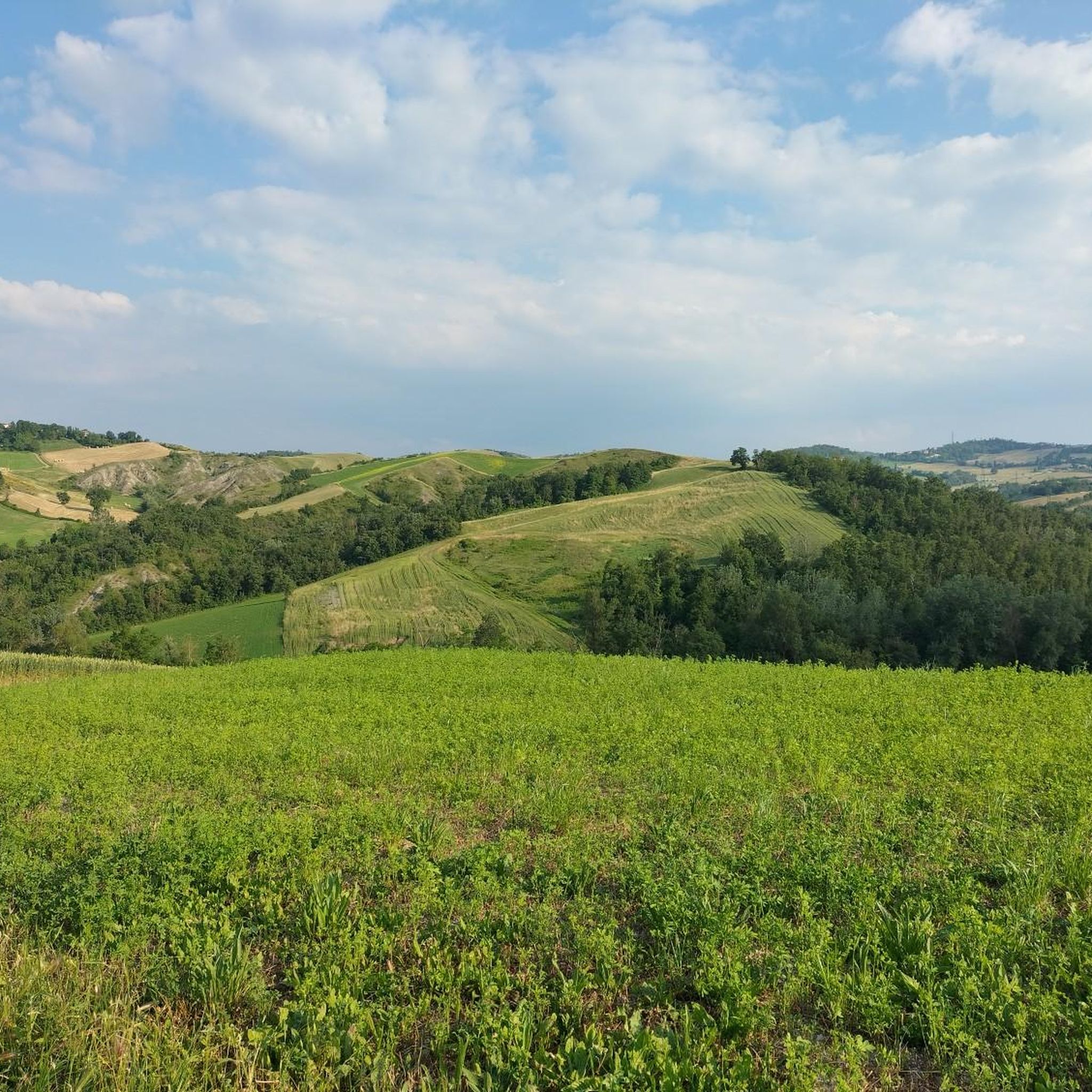
Jogging around Tizzano Val Parma offers diverse landscapes for outdoor enthusiasts. The region is characterized by mountainous terrain, rich forests, and panoramic views, providing a varied environment for runners. Trails traverse the Apennines, including the Monte Caio Massif, and extend into areas like the Parco dei Cento Laghi. This natural setting features a network of paths suitable for trail running and jogging.
Best jogging routes around Tizzano Val Parma
- The most popular jogging route is Monte Caio Trail, a 11.9 miles (19.1 km) trail that takes 2 hours 34 minutes to complete. This route offers panoramic views and ancient forests.
- Another top favourite among local runners is Monte Caio Trail, a difficult 7.0 miles (11.3 km) path. This route features challenging terrain within the Apennine massif.
- Local runners also love the San Matteo Trail, a 4.4 miles (7.0 km) trail leading through the natural beauty of the Parco dei Cento Laghi, often completed in about 1 hour 14 minutes.
- Jogging around Tizzano Val Parma is defined by mountainous terrain, rich forests, and panoramic views across the Apennines. The network offers options for different ability levels, from moderate paths to more demanding trails.
- The routes in Tizzano Val Parma are highly rated by the komoot community with an average score of 5.0 stars from over 3 reviews. More than 790 runners have used komoot to explore Tizzano Val Parma's varied terrain.
Last updated: July 7, 2026
95
runners
19.1km
02:34
690m
700m
Jog the difficult Monte Caio Trail, a 11.9-mile route with 2279 feet of elevation gain, offering panoramic views and ancient forests.
91
runners
11.3km
01:34
410m
410m
A difficult 7.0-mile (11.3 km) jogging trail in Parco Regionale dei Cento Laghi, featuring 1358 feet of elevation gain and panoramic views.

Sign up for free
7.01km
01:14
270m
280m
Jog the moderate 4.4-mile San Matteo Trail in Italy's Parco dei Cento Laghi, gaining 882 feet over an estimated 1 hour and 14 minutes.
80
runners
20.5km
02:47
860m
860m
Hard run. Very good fitness required. Mostly paved surfaces. Suitable for all skill levels.
50
runners
30.2km
04:19
1,450m
1,440m
Hard run. Very good fitness required. Mostly paved surfaces. Suitable for all skill levels.
Get access to more routes and recommendations from other explorers.
Sign up for free
Already have an account?
Our route recommendations are based on thousands of hikes, rides, and runs completed by other people on komoot.
Start today with a free account
Your next adventure awaits.
Login or Signup
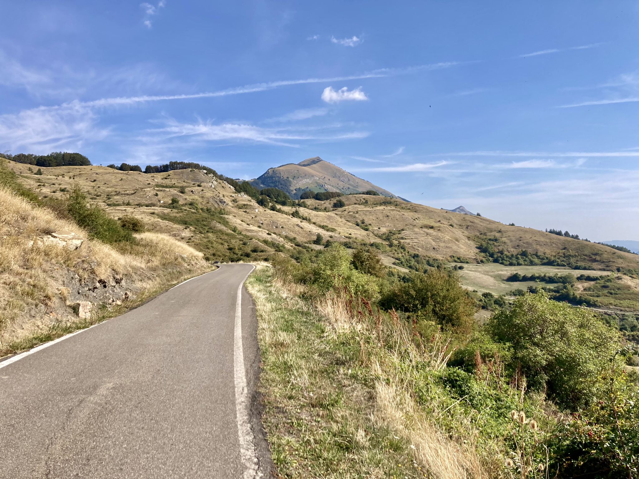
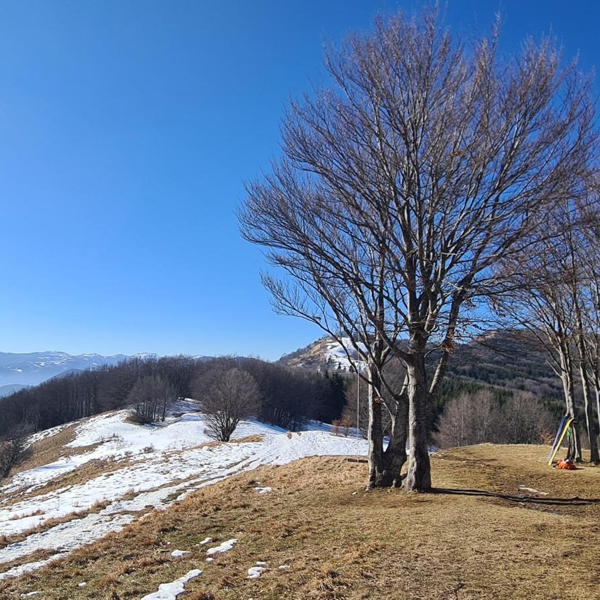
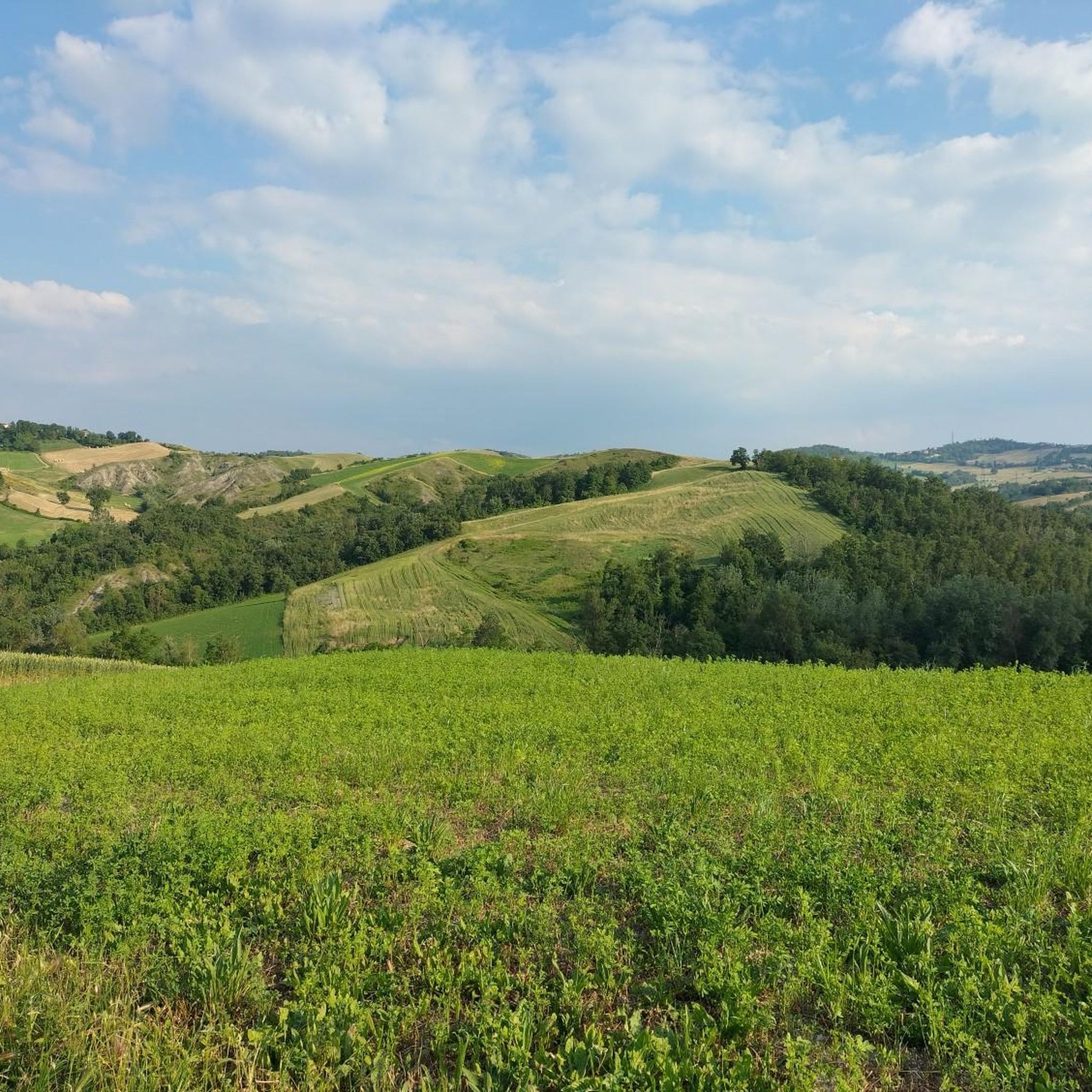
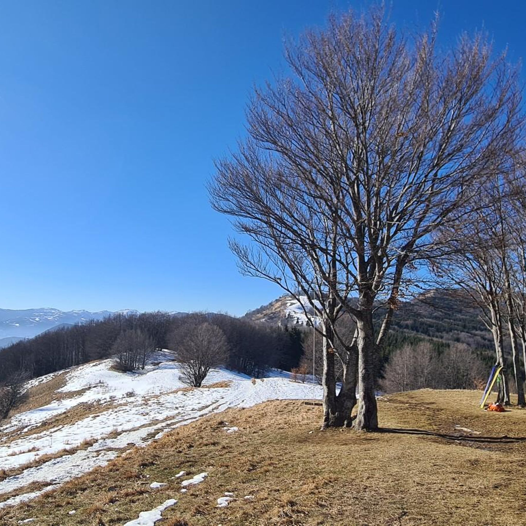
Other adventures around Tizzano Val Parma

Tips from the Community

Undoubtedly one of the most scenic peaks in the area. 360-degree view and easily accessible both on foot and by MTB
0
0
I don't know if it's the biggest in Parma, in Italy or what. I know for sure that it's the biggest I've ever seen. Majestic and fascinating, it's a must-see every time we come to this area…
0
0
On days with good visibility you can enjoy a fantastic view
0
0

Mount Caio is a peak of the Parma Apennines geographically located between the municipalities of Palanzano, Tizzano Val Parma and Corniglio and culminating with the Bocchialini peak at an altitude of 1,584 meters; the peak is located in the municipality of Palanzano. It is the mountain with a height higher than 1,500 meters closest to the provincial capital Parma (38 km). On its slopes, at an altitude of 1,250 m in the territory of the Municipality of Tizzano Val Parma, there is the Schia ski resort, equipped with three ski lifts, including a new (2008) two-seater chairlift, which serve about 15 km of slopes. Mount Caio is rich in woods, pastures and fountains, including the one that flows under the hermitage of San Matteo and collects in a tree trunk. At an altitude of 1,450 m there is a small lake fed by an underground spring.
2
0
A centuries-old plant that amazes tourists who come to admire it for its grandeur. It is one of the oldest beech trees in Europe, called Grande Faggio by the inhabitants of the area.
0
0

One of the oldest beech trees in Europe, called Big Beech by the inhabitants of the area.
0
0
Small but delightful lake near the Schia campsite
0
0
Peak of the perennial Apennines located in the municipality of Tizzano Val Parma. It has many panoramic points and suggestive paths.
1
0
Frequently Asked Questions
How many running routes are available in Tizzano Val Parma?
Tizzano Val Parma offers a wide selection of running routes, with over 70 trails available for exploration. These routes cater to various fitness levels, from moderate paths to more demanding trails.
What are the general characteristics of the running trails in Tizzano Val Parma?
The running trails in Tizzano Val Parma are characterized by mountainous terrain, rich forests, and panoramic views across the Apennines. You'll find a diverse environment for trail running, including routes through the Monte Caio Massif and within the natural beauty of the Parco dei Cento Laghi.
What do other runners say about the trails in Tizzano Val Parma?
The running routes in Tizzano Val Parma are highly rated by the komoot community, with an average score of 5.0 stars. Runners often praise the varied terrain, stunning panoramic views, and the challenging yet rewarding nature of the trails, especially those through ancient forests.
Are there any easier jogging routes suitable for beginners in Tizzano Val Parma?
While many routes are challenging, there are moderate options available. For instance, the San Matteo Trail is a moderate 7.0 km (4.4 miles) route through the Parco dei Cento Laghi, offering a less strenuous experience compared to the more difficult mountain trails.
Are there challenging routes for experienced trail runners?
Absolutely. Tizzano Val Parma is ideal for experienced trail runners. Routes like the longer Monte Caio Trail (19.1 km / 11.9 miles) or the Monte Caio – View from Corno di Caneto loop from Schia (29.9 km / 18.6 miles) offer significant elevation gains and demanding terrain within the Apennine massif, providing a true test of endurance.
Can I find circular running routes in the Tizzano Val Parma area?
Yes, there are several circular running routes. A notable option is the Monte Caio – View from Corno di Caneto loop from Schia, which takes you through beautiful landscapes and offers expansive views. The region's extensive trail network also allows for creative exploration of various loops.
Are there running routes with scenic viewpoints or landmarks?
Many running routes in Tizzano Val Parma offer stunning scenic viewpoints. Trails on Monte Caio, such as the Monte Caio Trail, provide panoramic views and lead through ancient forests. The area around Corno di Caneto also offers 360-degree views from its summit. You might also encounter the Monte Sporno Hut or the unique 'big bench' near Musiara Superiore on Monte Caio.
Are the running trails in Tizzano Val Parma suitable for families?
While many trails are challenging, some sections or shorter, less steep paths can be suitable for active families. It's recommended to check the difficulty and length of specific routes. The San Matteo Trail in Parco dei Cento Laghi, being moderate, might be a good starting point for families looking for a less strenuous jog.
Are dogs allowed on the running routes in Tizzano Val Parma?
Generally, dogs are welcome on many trails in the Tizzano Val Parma region, especially in natural park areas like the Parco dei Cento Laghi. However, it's always advisable to keep them on a leash, especially in areas with wildlife or livestock, and to check specific park regulations if available.
What is the best time of year to go jogging in Tizzano Val Parma?
The best time for jogging in Tizzano Val Parma is typically from spring to autumn when the weather is milder and the trails are clear. Summer offers warm conditions, while spring and autumn provide pleasant temperatures and vibrant natural scenery. Winter can bring snow to higher elevations, making some trails suitable only for experienced winter trail runners or snowshoeing.
Are there any specific attractions or points of interest near the running routes?
Yes, beyond the natural beauty, you can find several points of interest. The Monte Caio Ski Area is at the foot of Monte Caio, offering trails for summer exploration. You might also encounter the Monte Sporno Hut or various mountain peaks like Mount Caio – Bocchialini Summit, which offer rewarding views.
Are there any running routes around 10k in Tizzano Val Parma?
Yes, you can find several routes around the 10k mark. The Monte Caio Trail, at 11.3 km (7.0 miles), is a popular option. Another excellent choice is the View from Corno di Caneto loop from Schia, which is approximately 10.1 km (6.3 miles) and offers challenging terrain and great views.
Most popular routes around Tizzano Val Parma
Most popular attractions around Tizzano Val Parma

Get inspired with the komoot mobile app


Explore more
Browse the best Running Trails & Routes in other regions.
