The best walks and hikes around Tizzano Val Parma
4.4
(159)
650
hikers
30
hikes
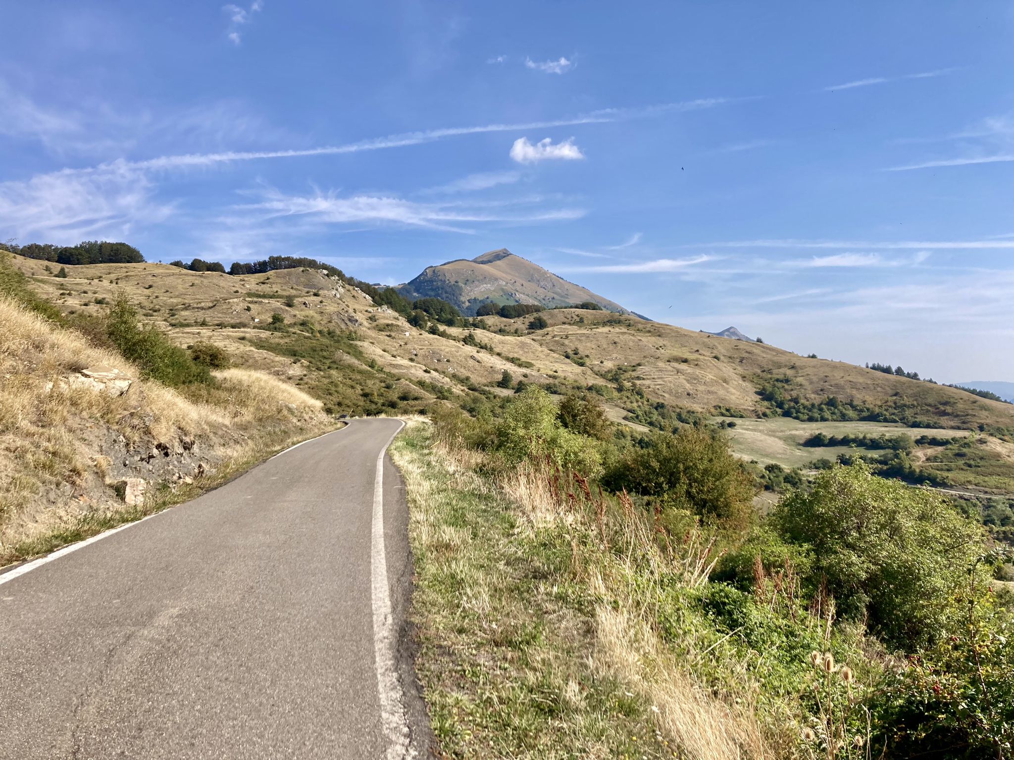
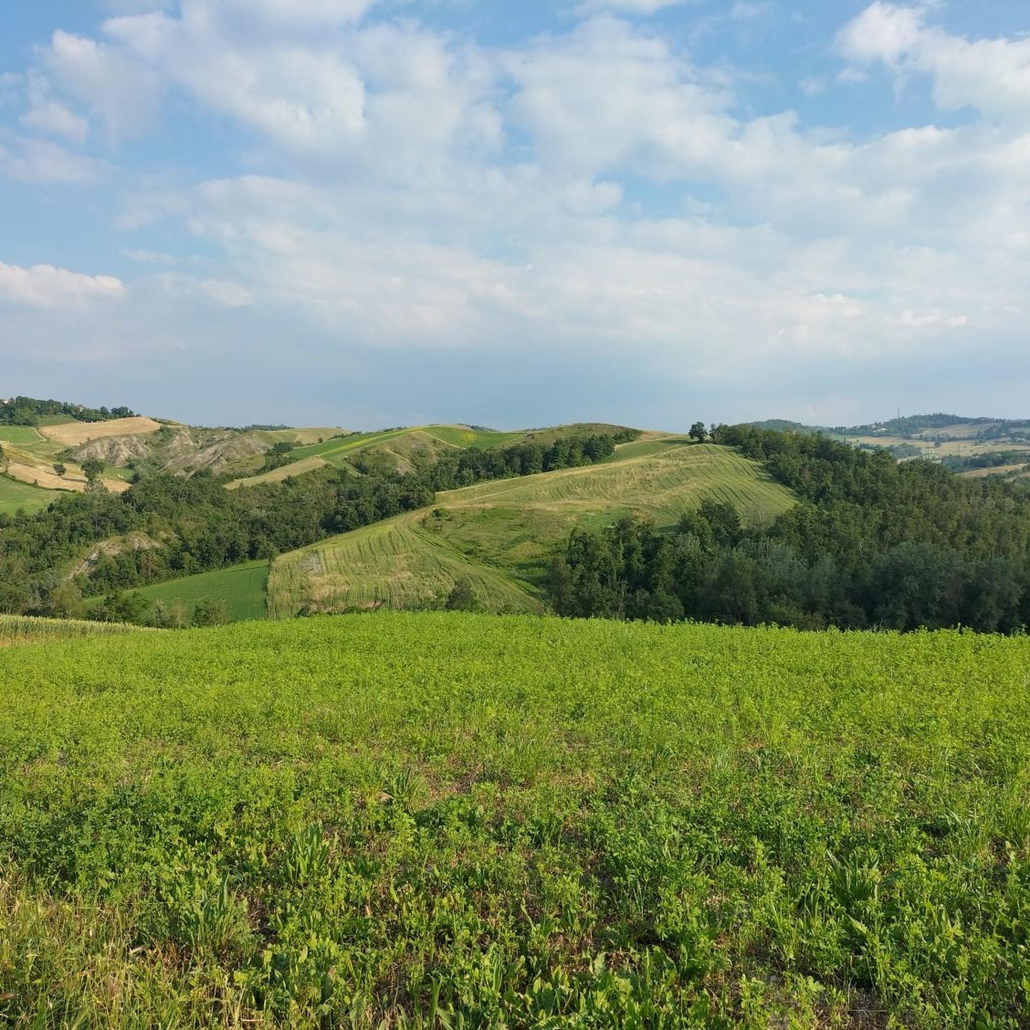
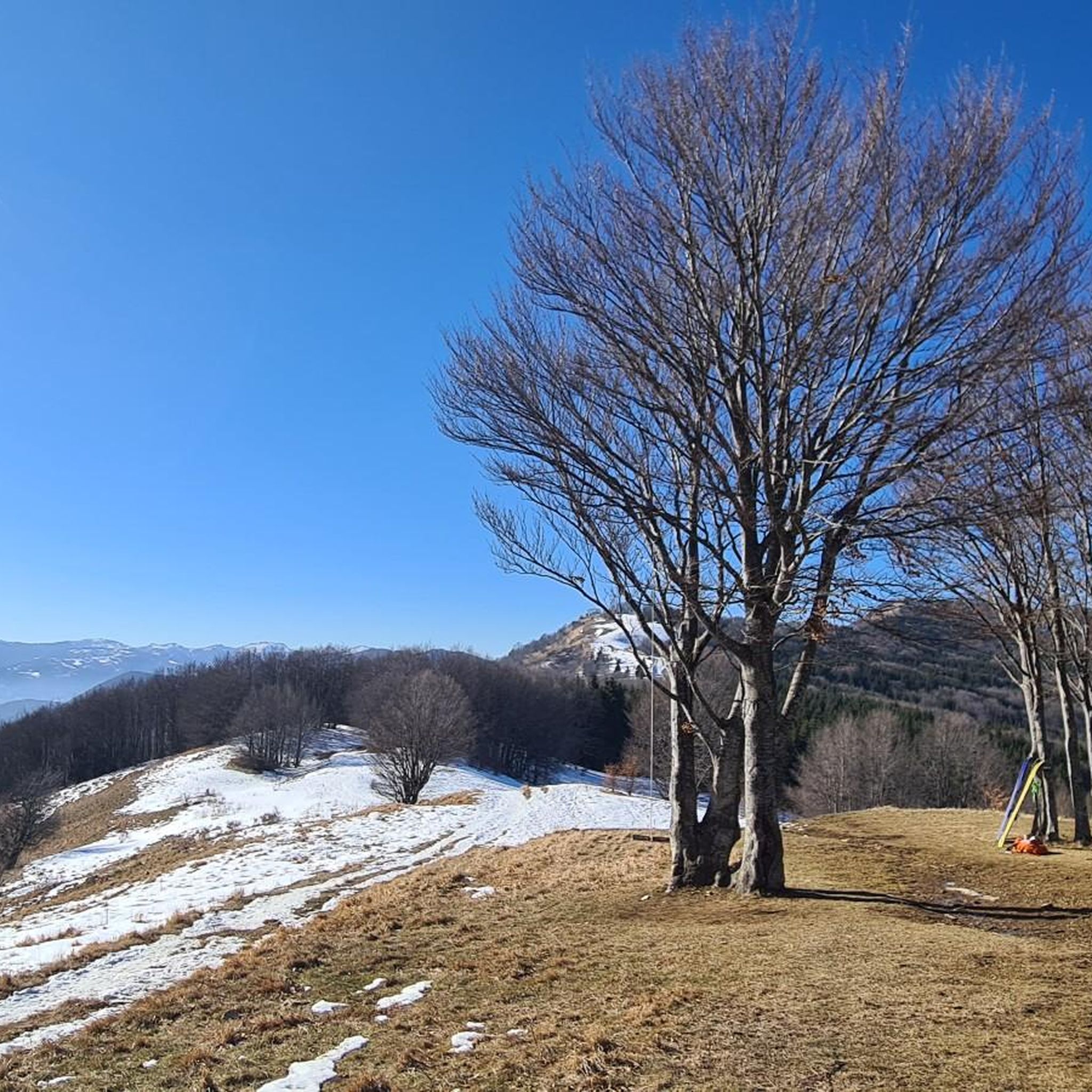
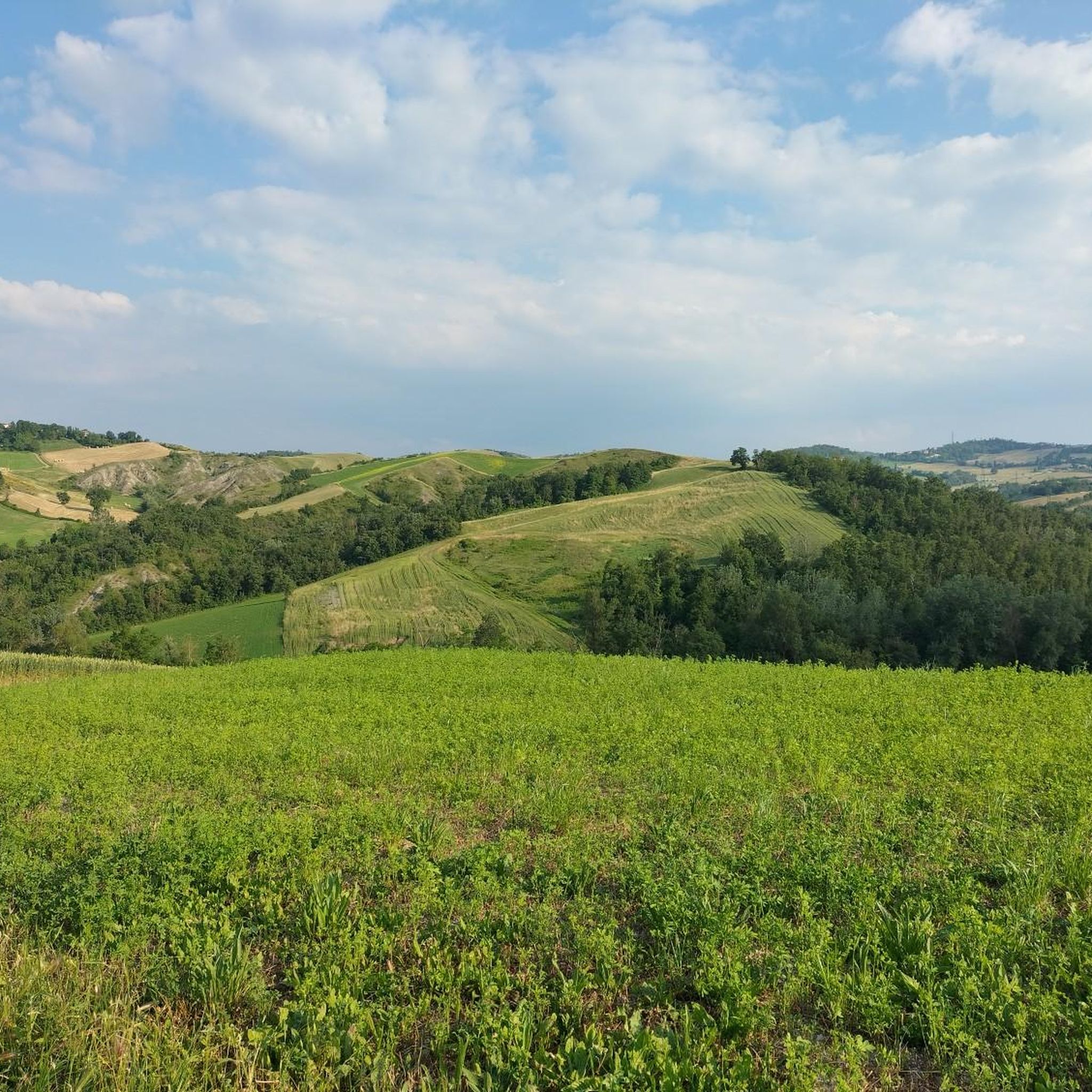
Hiking around Tizzano Val Parma offers diverse natural landscapes within the Parmesan Apennines. The region is characterized by mountainous massifs, including the prominent Monte Caio, and lush forests. It features a mosaic of terrain, from green agricultural hills at lower elevations to the higher Apennine ridge, and is part of the expansive Parco Regionale dei Cento Laghi, known for its glacial features.
Best hiking trails around Tizzano Val Parma
- The most popular hiking route is Schia - Corno di Caneto…
Last updated: August 30, 2026
3.5
(2)
5
hikers
5.26km
01:40
220m
220m
This easy 3.3-mile (5.3 km) hiking loop offers panoramic views from Corno di Caneto in the Parmesan Apennines.
4.0
(1)
3
hikers
11.8km
03:42
460m
460m
Forest trail through wild orchid meadows to an ancient beech tree and panoramic summit views.

Sign up for free
2
hikers
5.27km
01:48
270m
270m
Hike the easy 3.3-mile Ca' Antria - Case Bottazzo - Moragnano Church Trail, gaining 901 feet to explore a historic Romanesque church.
6.56km
02:07
290m
290m
Forest trail through Parchi del Ducato to Monte Lasarino's summit with Parma valley views.
4.5
(26)
161
hikers
9.16km
02:59
410m
410m
Moderate hike. Good fitness required. Easily-accessible paths. Suitable for all skill levels.
Get access to more routes and recommendations from other explorers.
Sign up for free
Already have an account?
Our route recommendations are based on thousands of hikes, rides, and runs completed by other people on komoot.
Start today with a free account
Your next adventure awaits.
Login or Signup
Other adventures around Tizzano Val Parma

Tips from the Community

What to say… one of the most evocative viewpoints in the province
0
0
Undoubtedly one of the most scenic peaks in the area. 360-degree view and easily accessible both on foot and by MTB
0
0
I don't know if it's the biggest in Parma, in Italy or what. I know for sure that it's the biggest I've ever seen. Majestic and fascinating, it's a must-see every time we come to this area…
0
0
Monument recently renovated, located on the summit of Monte Caio. It can be reached on foot or by MTB.
0
0
Beautiful viewpoint with BBQ. Of course, you'll have to carry everything on your back, and especially remember to take your trash down.
0
0
On days with good visibility you can enjoy a fantastic view
0
0

View of the Flysch of Monte Caio
1
0

Mount Caio is a peak of the Parma Apennines geographically located between the municipalities of Palanzano, Tizzano Val Parma and Corniglio and culminating with the Bocchialini peak at an altitude of 1,584 meters; the peak is located in the municipality of Palanzano. It is the mountain with a height higher than 1,500 meters closest to the provincial capital Parma (38 km). On its slopes, at an altitude of 1,250 m in the territory of the Municipality of Tizzano Val Parma, there is the Schia ski resort, equipped with three ski lifts, including a new (2008) two-seater chairlift, which serve about 15 km of slopes. Mount Caio is rich in woods, pastures and fountains, including the one that flows under the hermitage of San Matteo and collects in a tree trunk. At an altitude of 1,450 m there is a small lake fed by an underground spring.
2
0
Frequently Asked Questions
What types of hiking trails can I find in Tizzano Val Parma?
Tizzano Val Parma offers a diverse range of hiking trails, from easy walks to more challenging ascents. The region features mountainous massifs like Monte Caio, lush beech forests, and varied terrain including green agricultural hills and higher Apennine ridges. You'll find paths suitable for different fitness levels, with a total of 30 routes available.
Are there easy hiking trails suitable for beginners or families in Tizzano Val Parma?
Yes, Tizzano Val Parma has 12 easy hiking routes perfect for beginners or families. These trails typically involve less elevation gain and shorter distances. An example is the Ca' Antria - Case Bottazzo - Moragnano Church Trail, which is about 5.3 km long and takes around 1 hour 45 minutes.
What are the main natural features or landmarks to see while hiking in Tizzano Val Parma?
The region is rich in natural beauty. You can explore the prominent Monte Caio, known for its panoramic views and diverse flora, or discover the glacial cirques and lakes within the expansive Parco Regionale dei Cento Laghi. Notable points of interest include the Monte Caio – Bocchialini Summit (1,583 m) and the Monte Sporno Hut, an emergency shelter below Monte Sporno.
Are there any circular hiking routes in Tizzano Val Parma?
Yes, many trails in Tizzano Val Parma are designed as loops, allowing you to start and end at the same point. For instance, the Monte Caio – Picnic Area With Grill loop from Schia is a moderate 9.2 km route that offers a great circular experience.
What is the best time of year to go hiking in Tizzano Val Parma?
The best time for hiking in Tizzano Val Parma is generally from late spring to early autumn (May to October), when the weather is mild and the trails are most accessible. During these months, you can fully appreciate the lush landscapes and panoramic views. Winter offers opportunities for snowshoeing or winter hiking, especially around the Schia ski resort, but requires appropriate gear and experience.
Is Tizzano Val Parma suitable for dog-friendly hikes?
Many trails in Tizzano Val Parma are suitable for hiking with dogs, especially those in the lower and mid-mountain areas. It's always recommended to keep dogs on a leash, especially in protected areas like the Parco Regionale dei Cento Laghi, to protect local wildlife and ensure a pleasant experience for all hikers. Always carry water for your dog and check for any specific local regulations.
What are the typical elevation gains on hikes in this region?
Elevation gains vary significantly depending on the trail's difficulty. Easy routes might have around 200-300 meters of ascent, while moderate trails can feature 400-500 meters or more. For example, the Monte Nocellara Summit Trail from Schia has an elevation gain of approximately 458 meters.
Where can I find parking for hiking trails in Tizzano Val Parma?
Parking is generally available at common starting points for trails, particularly in villages and near popular access points like the Schia ski resort. Many trailheads are accessible by car, and you'll often find designated parking areas. It's advisable to check specific route descriptions for detailed parking information.
Are there any routes that offer panoramic views of the Apennines?
Absolutely. The region is renowned for its stunning vistas. The summit of Monte Caio, particularly Punta Bocchialini, offers incredible 360-degree panoramas of both the main Apennine ridge to the south and the Parma stream valley to the north. Routes like the Monte Lasarino Summit Trail also provide excellent viewpoints.
What do other hikers say about the trails in Tizzano Val Parma?
The hiking routes in Tizzano Val Parma are highly regarded by the komoot community, with an average rating of 4.5 stars from over 90 reviews. Hikers often praise the varied terrain, the beauty of the natural landscapes, and the well-maintained network of trails that cater to different skill levels.
Can I access hiking trails in Tizzano Val Parma using public transport?
While some villages in Tizzano Val Parma may have limited public transport connections, many trailheads, especially those leading into more remote mountainous areas, are best accessed by car. It's recommended to research local bus schedules if you plan to rely on public transport, as services can be infrequent, particularly outside of peak tourist season.
Are there any specific trails known for unique geological features?
Yes, Monte Caio is particularly noted for its geological interest, including 'Flysch' formations of calcarenitic and marly layers, and karstic phenomena at its limestone summit. The diverse terrain throughout the region, from glacial features in the Parco Regionale dei Cento Laghi to the varied rock formations, offers unique geological insights for observant hikers.
Most popular routes around Tizzano Val Parma
Most popular attractions around Tizzano Val Parma

Get inspired with the komoot mobile app


Explore more
Browse the best Hikes in other regions.
