The best cycling routes around Cerignale
4.4
(76)
1,673
riders
60
rides
Touring cycling routes around Cerignale are situated in the Alta Val Trebbia, a region characterized by its location between the Val Trebbia and Val d'Aveto. The area features the wooded slopes of Monte delle Tane, dense forests, and rivers known for their meanders and clean waters. Cyclists encounter diverse terrain, including significant elevation changes and panoramic views across the valleys.
Best touring cycling routes around Cerignale
- The most popular touring cycling route is View of the Trebbia Valley – Penice…
Last updated: July 1, 2026
4.5
(4)
27
riders
49.6km
03:40
1,160m
1,160m
Hard bike ride. Very good fitness required. Mostly paved surfaces. Suitable for all skill levels.
30
riders
98.5km
07:55
2,920m
2,920m
Hard bike ride. Very good fitness required. Mostly paved surfaces. Suitable for all skill levels.

Sign up for free
4.0
(3)
39
riders
55.3km
04:08
1,330m
1,330m
Hard bike ride. Very good fitness required. Mostly paved surfaces. Suitable for all skill levels.
11
riders
101km
07:43
2,640m
2,640m
Hard bike ride. Very good fitness required. Mostly paved surfaces. Suitable for all skill levels.
3.0
(2)
12
riders
43.7km
02:54
660m
660m
Hard bike ride. Very good fitness required. Mostly paved surfaces. Suitable for all skill levels.
Get access to more routes and recommendations from other explorers.
Sign up for free
Already have an account?
Our route recommendations are based on thousands of hikes, rides, and runs completed by other people on komoot.
Start today with a free account
Your next adventure awaits.
Login or Signup
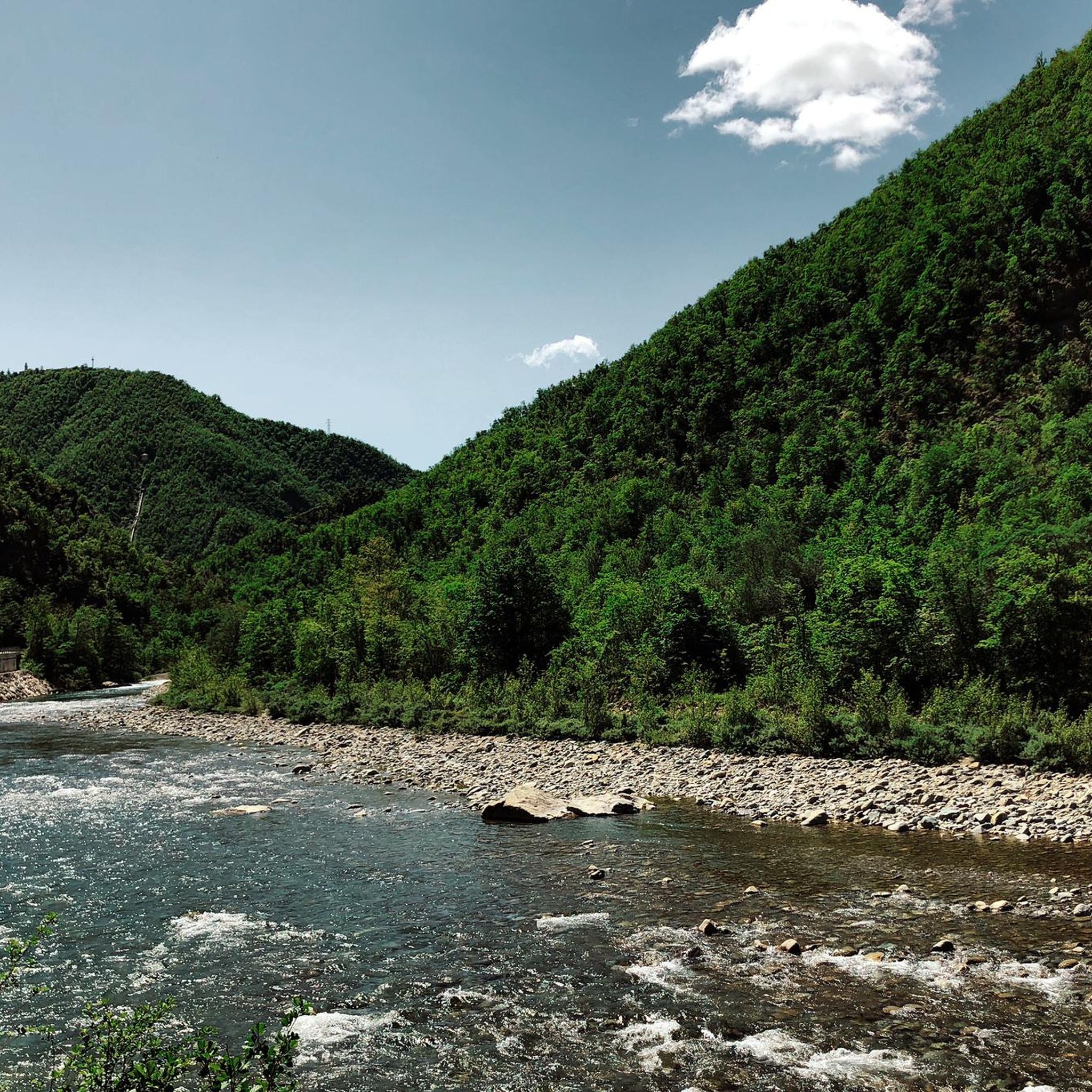
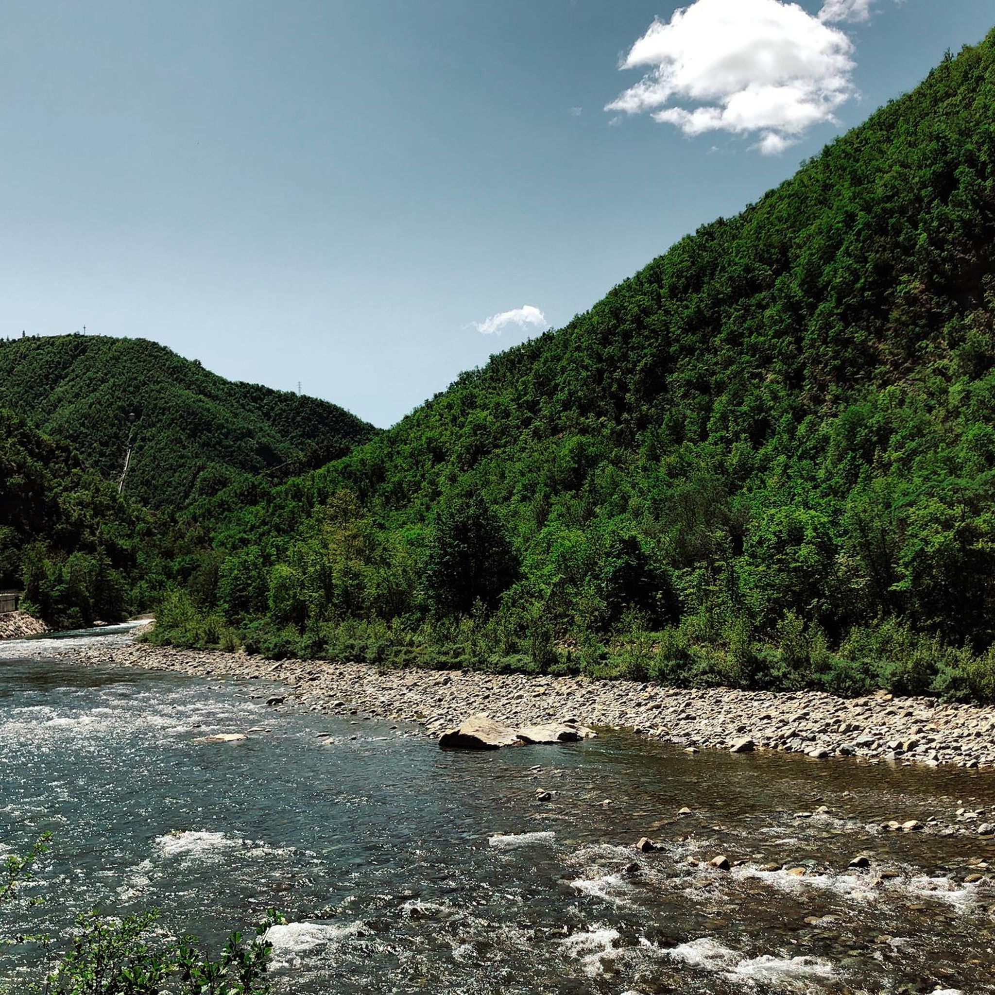
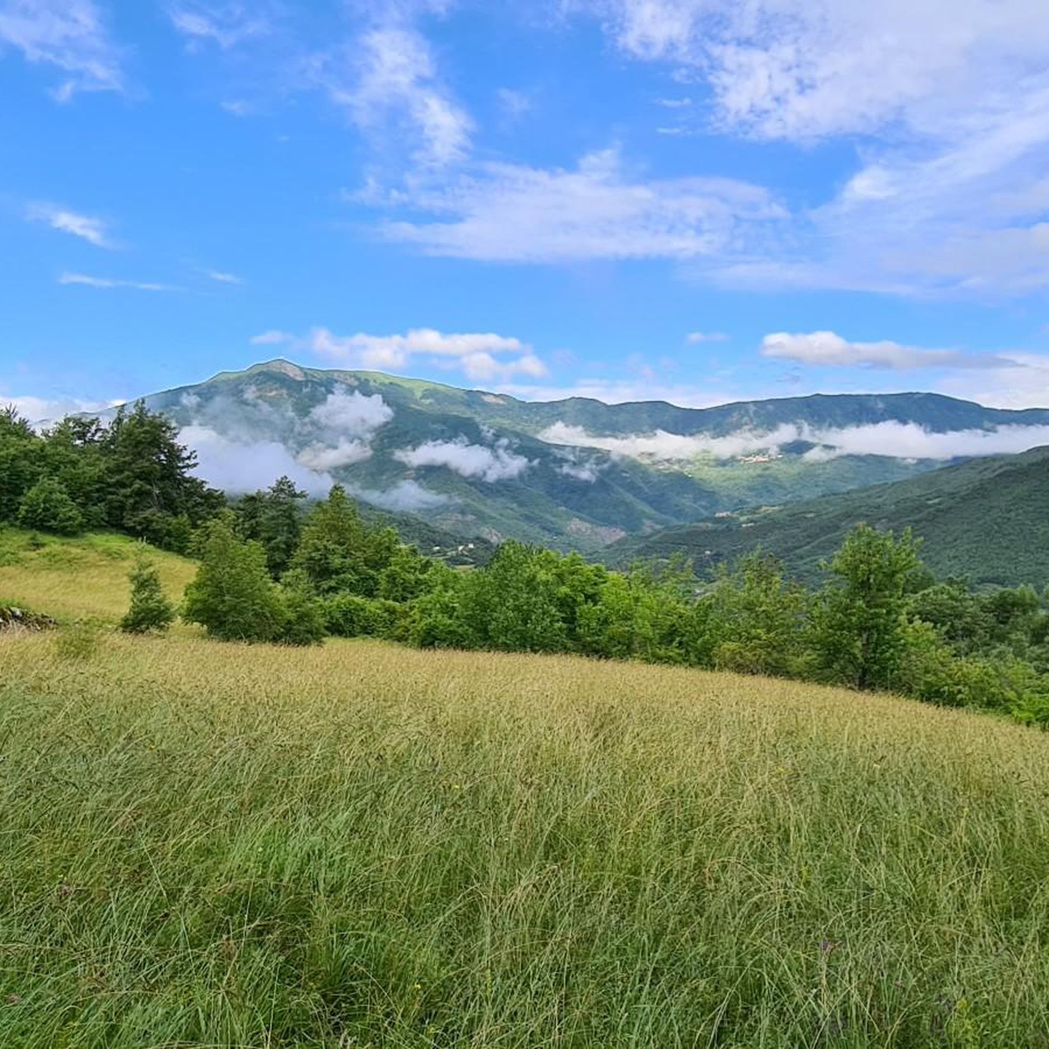
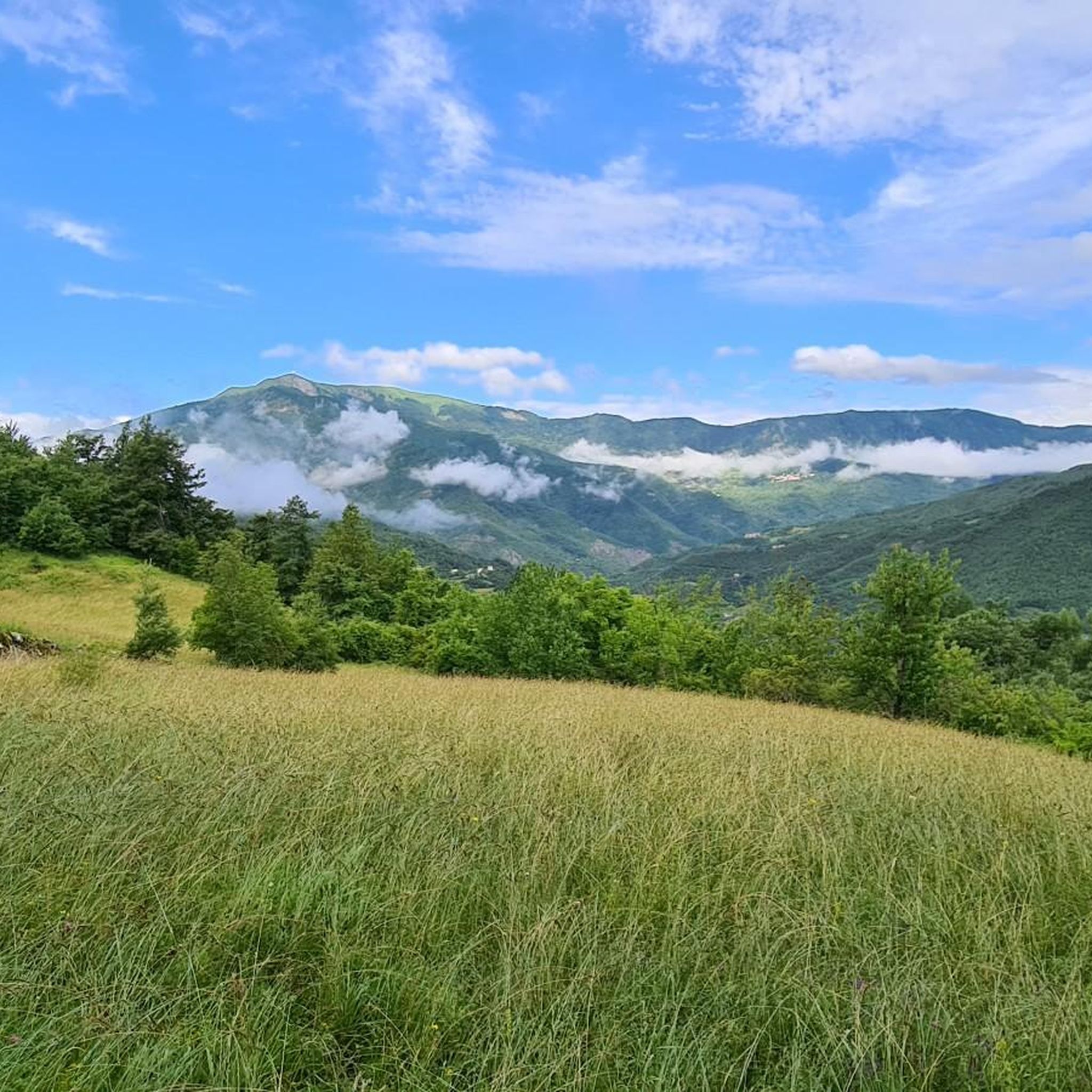
Tips from the Community

Structure maintained in good condition.
15
0
Viewpoint for taking photos.
15
0
Il Cerignale is a tiny mountain village in the Piacenza Apennines, nestled in the picturesque Val Trebbia, often considered one of the most beautiful valleys in Italy.
14
0
The view of Ponte Lenzino is one of the most beautiful panoramic points in the Val Trebbia, in the stretch between Marsaglia and Ottone, where the river flows embedded between the mountains.
12
0
The bends of the Trebbia river (also called meanders) are the large curves that the river forms in the Trebbia Valley, especially in the Apennine stretch between Bobbio, Brugnello and Marsaglia.
11
0
The Meanders of the Trebbia (or river) are one of the most spectacular natural landscapes in the Val Trebbia, between the municipalities of Bobbio and Corte Brugnatella in the province of Piacenza.
11
0
The confluence of the Aveto stream and the Trebbia river is located in the hamlet of Confiente, near Marsaglia, in Val Trebbia.
11
0
The border between Emilia-Romagna and Piedmont crosses a very mountainous and sparsely populated part of the northern Apennines. It largely follows the mountain ridges, which separate the river basins of the two regions.
14
0
Frequently Asked Questions
How many touring cycling routes are available around Cerignale?
There are over 50 touring cycling routes in the Cerignale area, offering a wide range of experiences. Most of these routes are considered difficult, providing significant challenges for experienced riders.
What kind of terrain can I expect on touring cycling routes near Cerignale?
The terrain around Cerignale is diverse, characterized by the wooded slopes of Monte delle Tane, dense forests, and river valleys. You can expect significant elevation changes, with routes often featuring challenging climbs and panoramic views across the Val Trebbia and Val d'Aveto.
Are there any circular touring cycling routes in the Cerignale area?
Yes, many touring cycling routes around Cerignale are designed as loops. For example, the View of the Trebbia Valley – Penice Pass (Bobbio) loop from Corte Brugnatella is a popular option, offering expansive panoramas and including the Penice Pass.
What are some notable natural features or landmarks I can see while cycling?
The region is rich in natural beauty. You'll encounter the distinctive meanders of the Trebbia River, especially visible on routes like The Bends of the Trebbia River – View of Ponte Lenzino loop from Corte Brugnatella. The unique geological formation known as Surus, the Elephant of Trebbia, is also a local highlight. Additionally, the area offers breathtaking views from various points along the watershed ridge between the Aveto and Trebbia valleys.
Are there any historical sites or castles accessible by touring bike?
Yes, the area around Cerignale features several historical sites. You can cycle past the ancient medieval village of Cerignale itself, with its narrow, stone-paved streets. The Castello di Cariseto, a 10th-century castle, offers panoramic views and is featured on routes such as the The Bends of the Trebbia River – Castello di Cariseto loop from Corte Brugnatella. Another option is the Malaspina Castle, which can be seen on the Passo Tomarlo – Malaspina-Doria Castle loop from Salsominore.
What is the best season for touring cycling in Cerignale?
The Val Trebbia and Val d'Aveto rivers are celebrated for their clean, fresh, and swimmable waters, making summer an ideal time for combining cycling with refreshing dips. However, the region's scenic roads and diverse terrain are enjoyable throughout the warmer months, from spring to autumn, when the weather is generally favorable for outdoor activities.
What do other touring cyclists say about the routes in Cerignale?
The touring cycling routes in Cerignale are highly rated by the komoot community, with an average score of 4.2 stars from over 60 reviews. Cyclists often praise the expansive panoramas, the challenging nature of the climbs, and the scenic beauty of the river valleys.
Are there any easy touring cycling routes for beginners or families?
The majority of touring cycling routes around Cerignale are classified as difficult, featuring significant elevation gains and challenging distances. There are currently no routes specifically categorized as easy for touring cyclists in this area, making it more suitable for experienced riders seeking a challenge.
Where can I find places to eat or stay near the cycling routes?
Cerignale and the surrounding villages offer various options for cafes, pubs, restaurants, and accommodation. While specific establishments are not detailed here, exploring the ancient medieval village of Cerignale itself or nearby towns will provide opportunities for refreshments and overnight stays.
Is Cerignale an environmentally conscious destination?
Yes, Cerignale is notable for being the first and only 'carbon-free' municipality in Val Trebbia. It utilizes small hydroelectric plants in its canals, which can also be visited, showcasing its commitment to eco-friendly practices.
What are the typical distances and durations for touring cycling routes here?
Touring cycling routes around Cerignale vary in length and duration. For instance, the View of Ponte Lenzino – The Bends of the Trebbia River loop from Corte Brugnatella covers approximately 52.7 km. Longer routes, such as the Passo Tomarlo – Malaspina-Doria Castle loop from Salsominore, can extend to nearly 100 km and take around 8 hours to complete, offering substantial rides.
Most popular attractions around Cerignale

Get inspired with the komoot mobile app


Explore more
Browse the best Cycling routes in other regions.
