The best road cycling routes around Cerignale
4.6
(83)
2,272
riders
53
rides
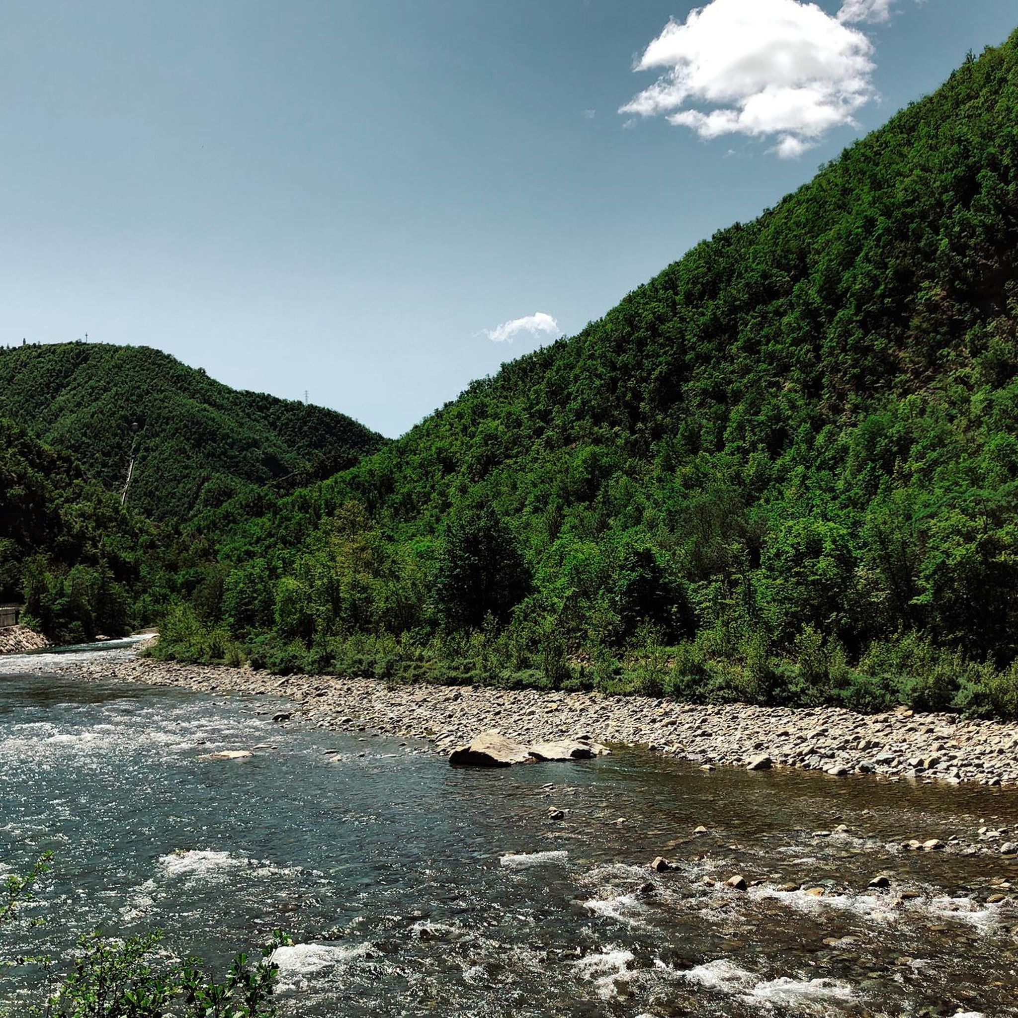
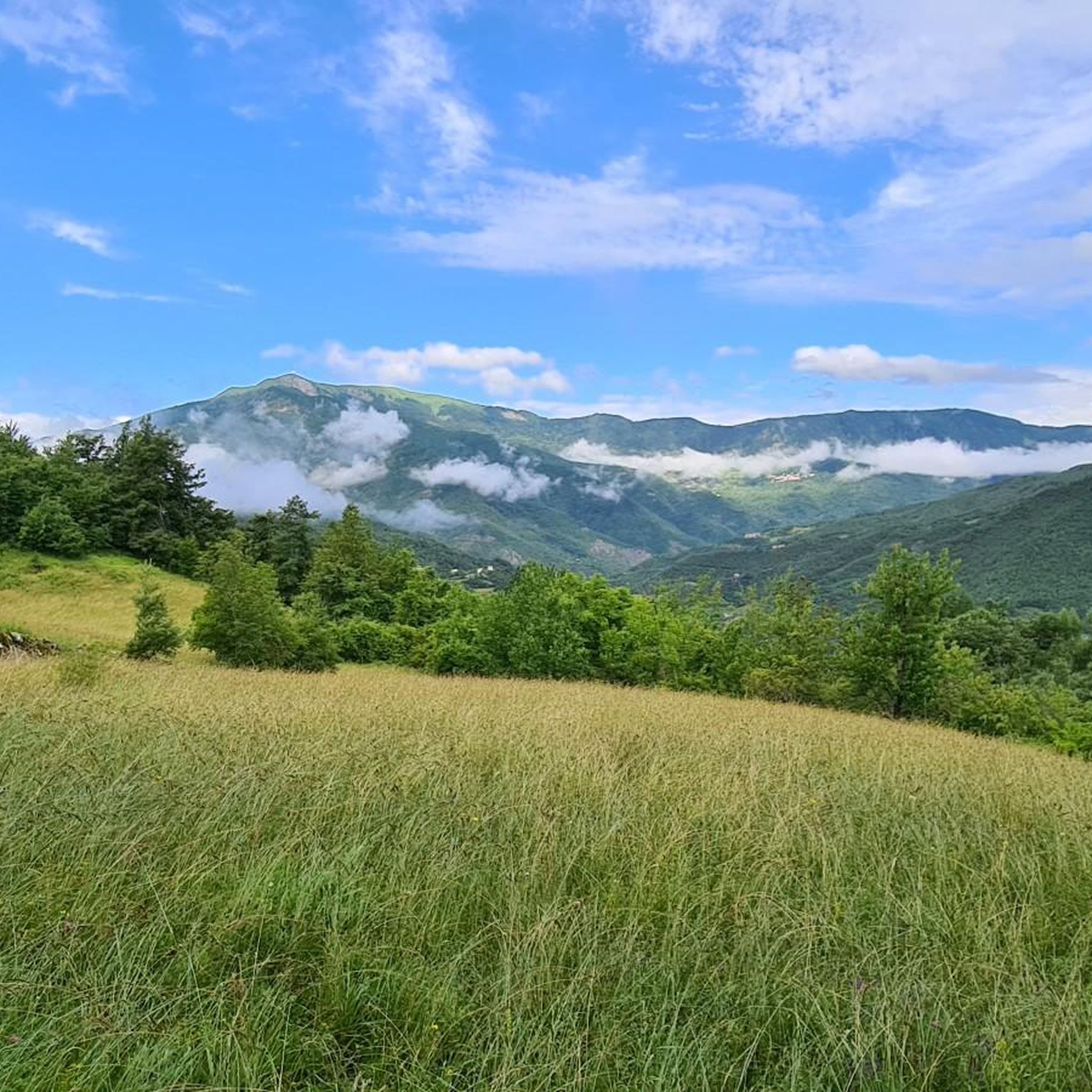
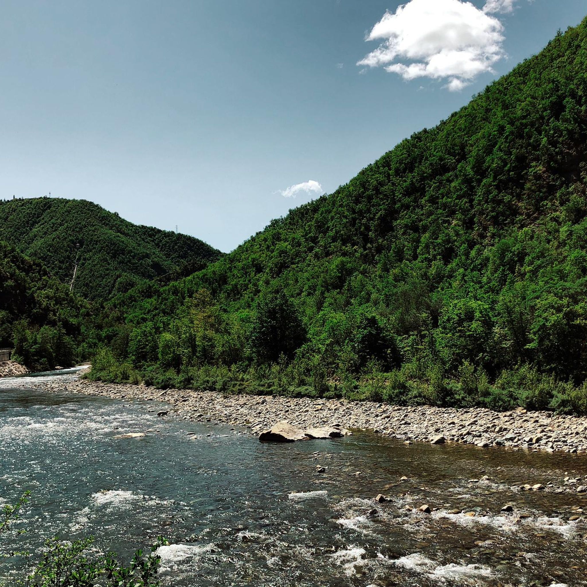
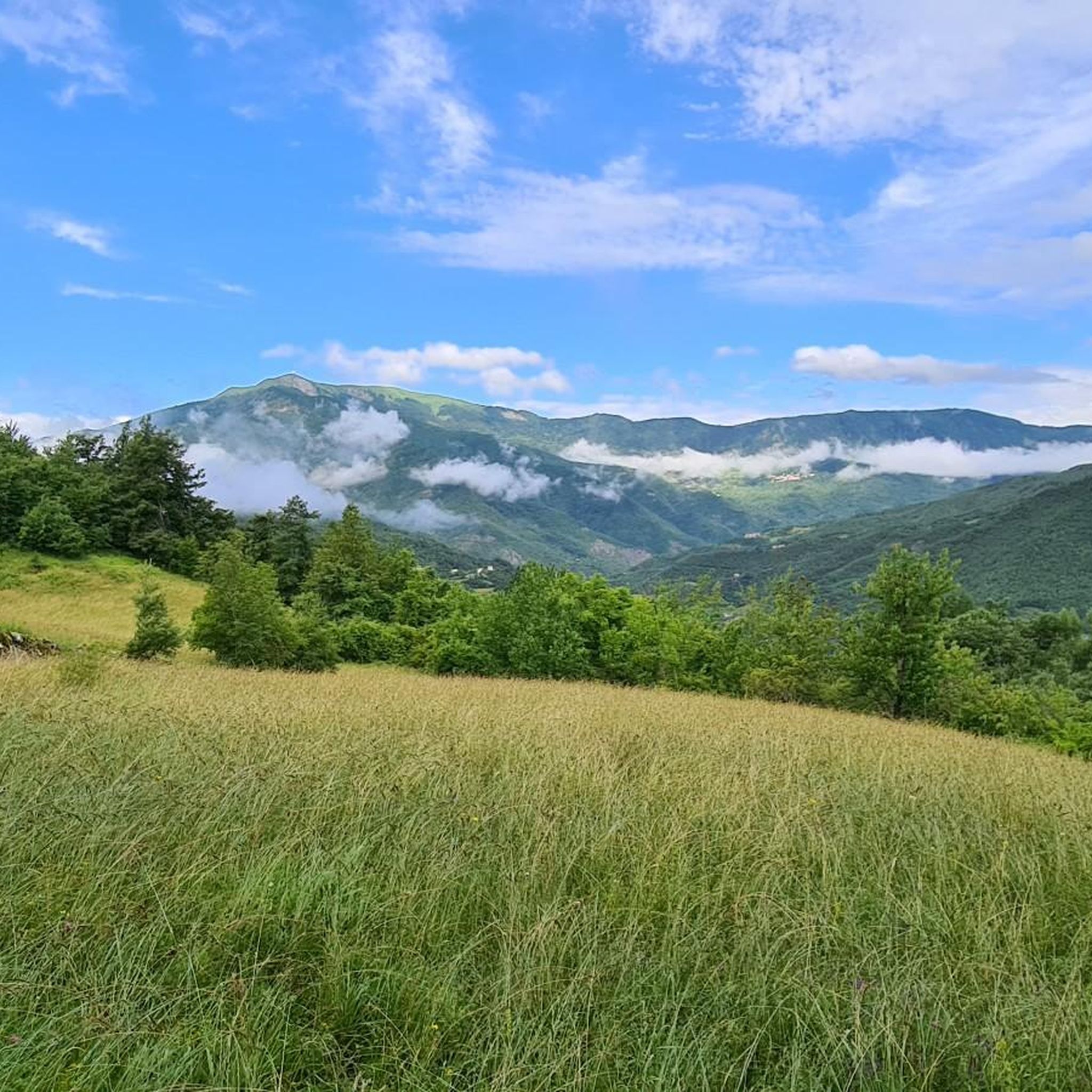
Road cycling around Cerignale, situated in the High Trebbia Valley, offers diverse and scenic landscapes. The region features mountainous terrain, dense forests, and river valleys, with significant elevation gains. Cerignale is nestled on the slopes of Monte delle Tane, which reaches 1198 meters, contributing to a varied topography of mountains, woods, and valleys. The area provides a challenging environment for road cyclists, with winding roads and panoramic views of the Apennine hills.
Best road cycling routes around Cerignale
- The most…
Last updated: July 1, 2026
5.0
(2)
91
riders
77.9km
04:36
1,900m
1,900m
Hard road ride. Very good fitness required. Mostly well-paved surfaces and easy to ride.
4.7
(3)
66
riders
55.3km
03:12
1,330m
1,330m
Hard road ride. Very good fitness required. Mostly well-paved surfaces and easy to ride.

Sign up for free
5.0
(3)
50
riders
90.3km
04:44
1,640m
1,640m
Hard road ride. Very good fitness required. Some segments of this route may be unpaved and difficult to ride.
5.0
(1)
56
riders
74.4km
04:21
1,800m
1,800m
Hard road ride. Very good fitness required. Mostly well-paved surfaces and easy to ride.
5.0
(1)
25
riders
101km
06:08
2,650m
2,650m
Hard road ride. Very good fitness required. Mostly well-paved surfaces and easy to ride.
Get access to more routes and recommendations from other explorers.
Sign up for free
Already have an account?
Our route recommendations are based on thousands of hikes, rides, and runs completed by other people on komoot.
Start today with a free account
Your next adventure awaits.
Login or Signup
Tips from the Community

Bobbio, a place along the Apennine bike tour, is worth a stop, both for the splendid cathedral and for the monastery founded by Saint Columbanus.
2
0
Beautiful and scenic stop after the climb along the Apennine bike tour
1
0
Between Cosola and Capanne di Cosola, road of the champions and itinerary of the Apennine bike tour
1
0

One of the most scenic spots in Val Trebbia.
14
0
The bends of the Trebbia river (also called meanders) are the large curves that the river forms in the Trebbia Valley, especially in the Apennine stretch between Bobbio, Brugnello and Marsaglia.
11
0

Starting point for trekking.
18
0
Road with slopes that are never too difficult.
7
0
Frequently Asked Questions
How many road cycling routes are available around Cerignale?
There are over 45 road cycling routes around Cerignale, offering a wide range of experiences for cyclists. The region's mountainous terrain, dense forests, and river valleys provide a challenging and rewarding environment.
What are the typical difficulty levels for road cycling routes in Cerignale?
The routes around Cerignale are predominantly challenging, with 37 out of 48 routes classified as difficult. There are also 11 moderate routes, indicating a focus on more experienced cyclists who enjoy significant elevation changes and varied terrain.
Are there any circular road cycling routes in the Cerignale area?
Yes, many routes in the area are designed as loops, allowing you to start and end in the same location. For example, the Overview Cerignale, Orezzoli and Valle d'Aveto — ring tour is a popular option, as is the Castello di Cariseto – View of Val d'Aveto loop from Corte Brugnatella.
What kind of landscapes and natural features will I encounter on a road cycling tour in Cerignale?
You'll experience a diverse landscape featuring wooded basins, mountain slopes like Monte delle Tane, and the pristine waters of the Trebbia and Aveto rivers. The region is part of the 'Appennino delle 4 Province,' offering a mix of cultivated areas, dense forests, and panoramic views of the Apennine hills. Keep an eye out for 'Surus, l'Elefante del Trebbia,' a distinctive mountain formation resembling an elephant.
What historical landmarks or attractions can I see along road cycling routes near Cerignale?
The area is rich in history. You might pass by the ruins of the 10th-century Cariseto Castle, offering stunning views, or the ancient medieval hamlet of Ponte Organasco with its exposed stone houses. The village of Cerignale itself has a historic center with narrow, stone-paved streets and the Church of San Lorenzo, dating back to 1560. Some routes, like the Castello di Cariseto – View of Val d'Aveto loop from Corte Brugnatella, specifically highlight historical points of interest.
Are there any waterfalls accessible or visible from road cycling routes?
While not directly on road cycling routes, the Cerignale area is home to several beautiful waterfalls that could be explored as a side trip. Notable ones include the Carlone Waterfall, Retorto Waterfall, and the Rompeggio Waterfalls. These natural features add to the scenic beauty of the region.
What do other road cyclists enjoy most about cycling in Cerignale?
The area is highly rated by the komoot community, with an average score of 4.6 stars from over 70 reviews. Cyclists often praise the challenging climbs, the rewarding panoramic views of the valleys and mountains, and the diverse scenery that changes from cultivated lands to dense woods. The sense of peace and freedom in the Apennine landscape is also frequently highlighted.
What is the best time of year for road cycling in Cerignale?
Given the mountainous terrain and the mention of river activities in warmer months, the best time for road cycling in Cerignale is typically from spring through early autumn. This period offers more favorable weather conditions for tackling the significant elevation gains and enjoying the scenic views without the challenges of winter conditions.
Are there any viewpoints or scenic overlooks along the road cycling routes?
Absolutely. The routes in Cerignale are known for their breathtaking views. You'll find numerous spots offering panoramic vistas of the Trebbia and Aveto Valleys, as well as the surrounding Apennine mountains. The challenging climbs are often rewarded with expansive overlooks, providing excellent photo opportunities.
Is Cerignale accessible by public transport for cyclists?
While Cerignale is a somewhat secluded medieval village, public transport options to the High Trebbia Valley exist, though they might require some planning. For detailed information on bus schedules and connections to Cerignale, it's advisable to consult local transport authorities or the official tourism website for the Piacenza region: visitpiacenza.it.
Are there any options for accommodation or places to eat in Cerignale for cyclists?
Cerignale, as an ancient medieval settlement, offers a charming atmosphere. While specific bike-friendly accommodations aren't detailed, the village and nearby hamlets like Ponte Organasco (known for its exposed stone houses) would likely have local eateries or small guesthouses. For more comprehensive information on accommodation and dining, you can check the local tourism resources for Cerignale via visitpiacenza.it.
What is the longest road cycling route available around Cerignale?
One of the longest and most challenging routes is the Bobbio and Ponte Gobbo – Cerro Pass loop from Corte Brugnatella, which spans 90.3 km (56.1 miles) and typically takes around 4 hours and 44 minutes to complete, featuring significant elevation changes through the Apennine hills.
Can I find huts or refuges along the cycling routes for rest stops?
While directly on road cycling routes might be less common, the wider area around Cerignale offers several huts and refuges that can serve as rest stops or destinations for longer rides. Examples include the Prato della Cipolla Hut and Rifugio Astass, which are popular among outdoor enthusiasts in the region.
Most popular attractions around Cerignale

Get inspired with the komoot mobile app


Explore more
Browse the best Road cycling routes in other regions.
