The best mountain hikes around Piancogno
4.3
(4)
40
hikers
6
hikes
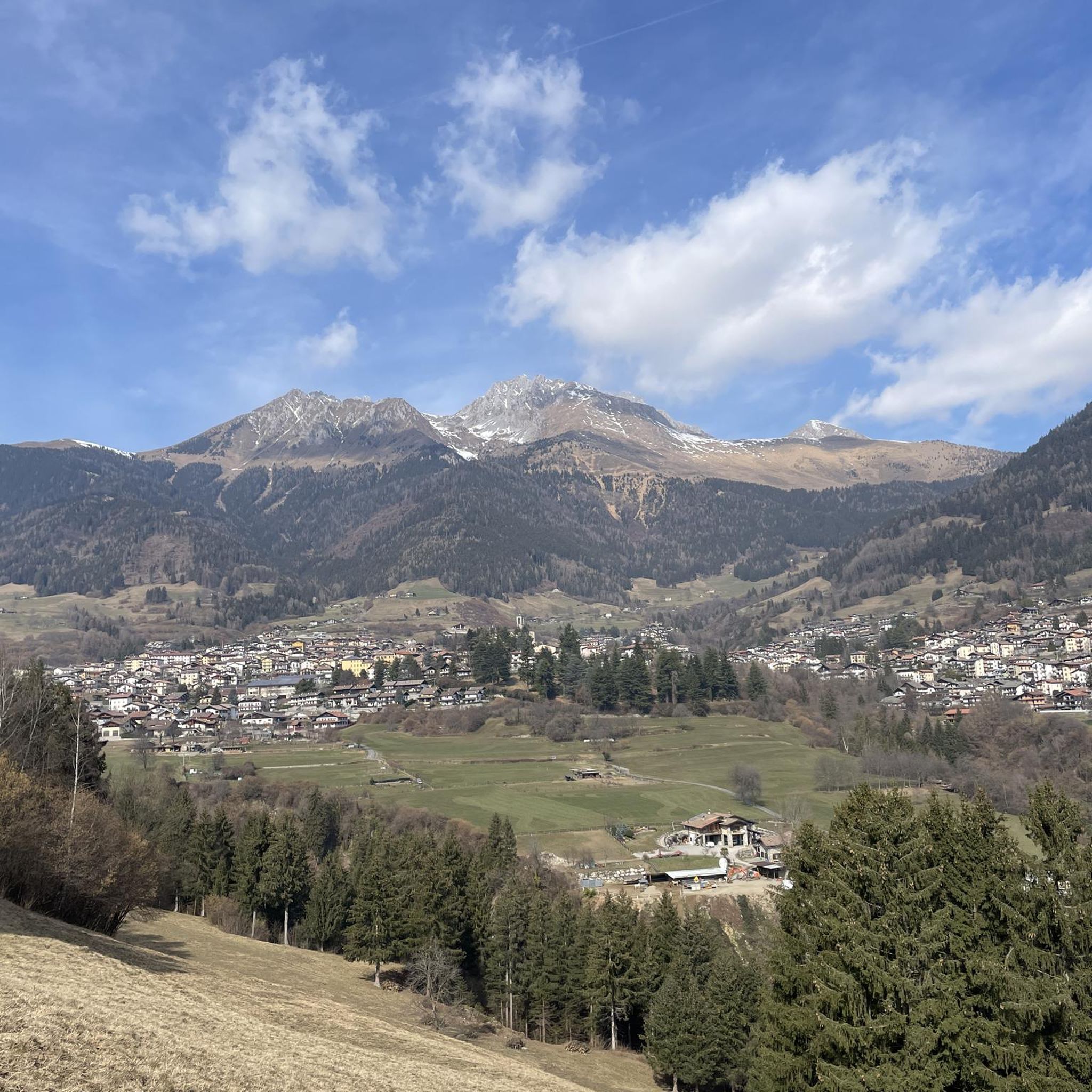
Mountaineering routes around Piancogno are set within Italy's Val Camonica, characterized by wide valleys, dense forests, and rugged rocky mountains. The region is part of the Adamello mountain range, offering impressive alpine scenery and panoramic views of the Presolana massif. Geological diversity includes limestone, red sandstone, granite, and schist, providing varied terrain for ascents. Over half of Val Camonica's territory is protected, including the Stelvio National Park and Adamello Regional Park, which features Italy's largest glacier.
Best mountaineering routes around…
Last updated: July 4, 2026
9
hikers
11.0km
06:48
1,280m
1,280m
Hard mountaineering route. Very good fitness required. Sure-footedness, sturdy shoes and alpine experience required.
6
hikers
11.6km
05:04
860m
860m
Hard mountaineering route. Very good fitness required. Sure-footedness, sturdy shoes and alpine experience required.

Sign up for free
4.0
(2)
7
hikers
18.8km
08:11
1,460m
1,460m
Hard mountaineering route. Very good fitness required. Sure-footedness, sturdy shoes and alpine experience required.
4
hikers
13.9km
06:13
990m
990m
Hard mountaineering route. Very good fitness required. Sure-footedness, sturdy shoes and alpine experience required.
5.0
(1)
3
hikers
9.90km
03:47
560m
560m
Moderate mountaineering route. Good fitness required. Mostly accessible paths. Sure-footedness required.
Our route recommendations are based on thousands of hikes, rides, and runs completed by other people on komoot.
Start today with a free account
Your next adventure awaits.
Login or Signup
Other adventures around Piancogno

Tips from the Community


Passo degli Agnelli (1,950 m) is a charming panoramic pass located at the foot of the southern walls of Presolana, in the province of Bergamo. Accessible mainly from Rifugio Rino Olmo or via routes including the Sentiero delle Capre and Rifugio Cassinelli, it offers a unique alpine environment, often frequented for hikes and chamois spotting.
0
0

The trail is suitable for everyone and takes about an hour to reach the refuge. You can either hike along a cobblestone road or through the woods (not recommended if it's snowing in winter because it freezes, and in summer, some sections are very muddy). Be sure to pay extra attention.
0
0

A very characteristic refuge at the foot of the Presolana at 1,940 meters. It can be climbed from Teveno or Colere (in approximately 1 hour 45 and 2 hours 30 minutes). Several peaks can be reached from the refuge; the Curò refuge can be reached via the Giro delle Orobie trail.
0
0

Starting on an easy, low-elevation hike from the parking lot in front of Bar Neve, follow the trail to the Cassinelli Refuge. This tree-shaded trail is one of my favorites for enjoying the mountains, even with those who are struggling. At the refuge, a warm welcome awaits, and authentic Orobic flavors are guaranteed. A must-try if you're looking for a mountain retreat for everyone.
0
0

A place of haunting beauty, steeped in history and memories. Walking at the foot of the Gleno Dam is a deeply moving experience. In my video, I recount the history and emotion of this place. Watch it for the full adventure: https://youtu.be/xOmoTKIHDm0
1
0

wonderful place but better to avoid crowded periods
0
0

Frequently Asked Questions
How many mountaineering routes are available around Piancogno?
Piancogno offers a selection of mountaineering routes, with 6 documented on komoot. These routes provide diverse challenges, ranging from moderate to difficult, set within the impressive alpine scenery of Val Camonica.
Are there any moderate mountaineering routes suitable for those new to the area?
Yes, there is one moderate mountaineering route available. The Route del Gleno – Gleno Dam loop from Vilminore di Scalve is a good option, covering 8.7 km with an elevation gain of around 539 meters, and typically takes about 3 hours 26 minutes to complete.
What are some of the most challenging mountaineering routes in Piancogno?
For experienced mountaineers, routes like the Monte Ferrante Summit – Corna Gemelle loop from Colere offer significant challenges. This route spans 18.5 km with over 1440 meters of elevation gain, typically requiring around 8 hours 3 minutes to complete through high alpine terrain.
Are there any circular mountaineering routes in the Piancogno area?
Yes, many of the mountaineering routes around Piancogno are circular. Examples include the First Canyon – View of the Southern Valley loop from Lozio, which is 11 km long, and the Cassinelli Hut – Passo Pozzera loop from Passo della Presolana, covering 11.6 km.
What natural landmarks can I expect to see along mountaineering routes in Piancogno?
Mountaineering routes in Piancogno often feature stunning natural landmarks. You might encounter the historic Gleno Dam and Lake, known for its panoramic views. The region also boasts serene alpine lakes like Lova Lake, and various mountain passes such as Campelli Pass and Passo degli Agnelli, offering expansive vistas.
Are there mountain huts or refuges accessible from the mountaineering trails?
Yes, the area around Piancogno provides access to several mountain huts that can serve as resting points or bases for longer treks. Notable options include the Carlo Medici Refuge at Cassinelli, the Magnolini Hut, and the Albani Hut.
What unique geological features can be found in the Piancogno mountaineering region?
The Piancogno region, part of Val Camonica, is geologically diverse, featuring limestone, red sandstone, granite, and schist. This variety creates rugged rocky mountains and unique formations. The area is also known for ancient rock engravings, particularly near the Sanctuary of the Annunciation, showcasing its distinct geological history.
What do other mountaineers say about the routes in Piancogno?
The mountaineering routes in Piancogno are highly rated by the komoot community, with an average score of 4.7 stars from over 6 reviews. Users often praise the impressive alpine scenery, the diverse terrain, and the panoramic views of the Presolana massif.
Is it possible to reach trailheads using public transport in Piancogno?
While specific public transport connections to every trailhead can vary, Piancogno is integrated into the broader Valle Camonica transport network. It's advisable to check local bus schedules for connections to villages like Lozio, Vilminore di Scalve, or Passo della Presolana, which serve as starting points for many routes.
What is the best season for mountaineering in Piancogno?
The best season for mountaineering in Piancogno is typically from late spring to early autumn (May to October), when trails are generally free of snow and weather conditions are more stable. During winter, the wider Camonica Valley offers opportunities for snowshoeing and skiing, but mountaineering conditions can be challenging and require specialized gear and experience.
Are there any routes that pass by waterfalls or significant water features?
Yes, the region is home to notable water features. The Route del Gleno – Gleno Dam loop from Vilminore di Scalve leads to the Gleno Dam and Lake, which is a significant site. Additionally, Val Brandet in Valle Camonica is known for magnificent ice waterfalls during colder months, though these are typically for ice climbing rather than standard mountaineering routes.
Most popular routes around Piancogno
Most popular attractions around Piancogno

Get inspired with the komoot mobile app


Explore more
Browse the best Mountain Hikes & Routes in other regions.
