The best MTB trails around Piancogno
4.4
(285)
2,114
riders
17
rides
Mountain biking around Piancogno offers diverse terrain within the Val Camonica, a region characterized by its blend of natural beauty and varied landscapes. Riders can explore routes through dense forests, expansive pastures, and along the foothills of the Adamello Park. The area features a mix of challenging mountain trails and more accessible paths, often providing views of the surrounding mountains and valleys, including glimpses of Lake Iseo. This makes Piancogno a suitable base for mountain bikers seeking different levels of…
Last updated: July 6, 2026
4.6
(12)
84
riders
40.3km
03:59
1,160m
1,160m
Hard mountain bike ride. Very good fitness required. Advanced riding skills necessary.
4.0
(14)
100
riders
37.2km
02:47
500m
500m
Moderate mountain bike ride. Good fitness required. Suitable for all skill levels.

Sign up for free
4.0
(1)
26
riders
45.4km
03:38
1,130m
1,130m
Hard mountain bike ride. Very good fitness required. Suitable for all skill levels.
3.8
(4)
47
riders
Moderate mountain bike ride. Good fitness required. Suitable for all skill levels.
4.0
(5)
23
riders
24.8km
01:50
430m
430m
Moderate mountain bike ride. Good fitness required. Suitable for all skill levels.
Get access to more routes and recommendations from other explorers.
Sign up for free
Already have an account?
Our route recommendations are based on thousands of hikes, rides, and runs completed by other people on komoot.
Start today with a free account
Your next adventure awaits.
Login or Signup

Other adventures around Piancogno

Tips from the Community

By train to Edolo and then by bike up to Ponte di legno. The next day, departure in four stages to Mantua. Beautiful cycle path. Recommended
0
0

Nice, historic, relaxing...a beautiful ride along the Oglio cycle path.
0
0

Stone bridge with nice views around. The river was brown due to heavy rain some hours earlier.
1
0

The church has a complex, rectangular plan, with two bays, a ribbed vault alternating with segments of barrel vault, continuous masonry, and a roof opening. The bell tower has a rectangular plan, continuous masonry, three sections high, a belfry with arches and an octagonal lantern at the top, surmounted by a smaller one supporting an octagonal pyramid trunk on which rises a sphere bearing a metal cross with a wind flag.
0
0
To reach Montecchio di Darfo, starting from Boario, you cross the so-called "Roman Bridge," also known as the Montecchio Bridge. It is a scenic 24-meter, single-span bridge, built from blocks of granite and Simona stone in 1686, over the remains of an older bridge that connected the medieval castle on Monticolo to the opposite bank of the river. It has been recognized as a national monument. (from valcamonicaaccessibile.it)
0
0
To reach Montecchio di Darfo, starting from Boario, you cross the so-called "Roman bridge." It is a scenic 24-meter, single-span bridge, built from blocks of granite and Simona stone in 1686, over the remains of an older bridge that connected the medieval castle on Monticolo to the opposite bank of the river. It has been recognized as a national monument.
0
0
Years of collaboration between organizations distributed along the Oglio River, the "backbone" of the route, have led to the development of a route approximately 280 km long that crosses Lombardy from north to south, crossing the provinces of Brescia, Bergamo, Cremona, and Mantua. The start is at the Tonale Pass, at an altitude of 1,883 meters in the heart of the Adamello Park mountains, while the finish is at an altitude of 21 meters, at the Ponte di Barche in San Matteo delle Chiaviche: the elevation gain is 1,862 meters along a route that is 80% asphalt and 20% dirt. The prestigious recognition of “most beautiful cycle path in Italy” for 2019 was awarded by the jury of experts of the Italian Green Road Award, presented in February 2019 during the Cosmobike Show event, held at the Verona Fair.
0
0
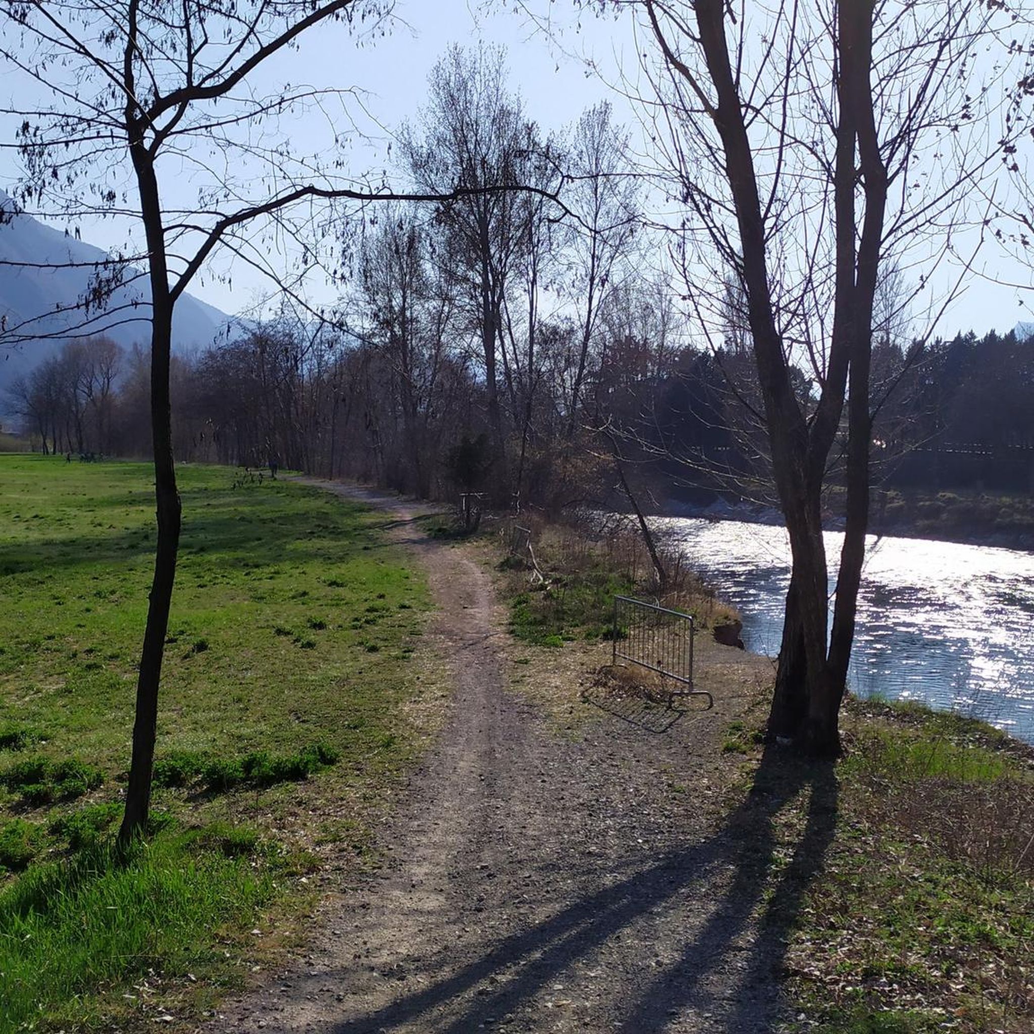
Along the Oglio cycle path there are many benches placed in strategic positions
0
0
Frequently Asked Questions
How many mountain bike trails are available around Piancogno?
Piancogno offers a good selection of mountain bike trails, with nearly 20 routes documented on komoot. These include 5 easy routes, 11 moderate routes, and 1 difficult trail, catering to various skill levels.
What is the best time of year for mountain biking in Piancogno?
The Val Camonica region, where Piancogno is located, is suitable for mountain biking through much of the year. Spring and autumn generally offer pleasant temperatures and vibrant scenery. While specific trail conditions can vary, the diverse terrain means you can often find suitable routes outside of peak summer heat or winter snows.
Are there any family-friendly mountain bike trails near Piancogno?
Yes, there are several easier routes around Piancogno that are suitable for families or beginners. These trails often feature less challenging terrain through forests and pastures, allowing for a more relaxed ride. For example, the Ponte di Cividate Camuno – Lago Moro loop from Cogno-Esine is a moderate option that includes unpaved paths and views of the Cividate Camuno Archaeological Park.
Can I bring my dog on the mountain bike trails in Piancogno?
Many trails in the Val Camonica region are accessible for dogs, especially those that traverse natural landscapes like forests and pastures. However, it's always advisable to keep your dog on a leash, especially in areas with wildlife or other trail users, and to check specific trail regulations if available. Ensure your dog is fit enough for the chosen route and carry enough water for both of you.
What kind of terrain can I expect on mountain bike trails around Piancogno?
The terrain around Piancogno is diverse, ranging from unpaved paths and forest tracks to more challenging mountain trails. You'll encounter routes through dense forests, expansive green pastures, and along the foothills of the Adamello Park. Some trails offer scenic views of the surrounding mountains and valleys, including glimpses of Lake Iseo.
Are there any challenging mountain bike routes for experienced riders?
Absolutely. For experienced riders seeking a challenge, the Spluga Trail – Camonica Valley – Prato Torio loop from Cogno-Esine is a difficult mountain bike experience, covering 43.3 km with over 1,180 meters of elevation gain. The broader Brescia region also offers extensive opportunities for advanced riders, including bike parks like Montecampione and Tonale – Ponte di Legno – Temù for gravity and enduro tracks.
What interesting sights or landmarks can I see along the mountain bike trails?
Many routes offer scenic views and pass by notable landmarks. You can cycle towards destinations like the Gleno Dam and Lake, which is also a popular hiking spot. Other routes provide views of the Cividate Camuno Archaeological Park or scenic vistas across the valley, such as those found on the Spluga Trail – Camonica Valley – View of Malegno and Church loop from Pian di Borno.
Are there mountain bike trails that form a loop around Piancogno?
Yes, many of the mountain bike routes around Piancogno are designed as loops, allowing you to start and finish at the same point. Examples include the Spluga Trail – Camonica Valley – Prato Torio loop from Cogno-Esine and the Spluga Trail – Camonica Valley – Via Valeriana loop from Pian di Borno, which offer convenient circular journeys through the diverse landscape.
What do other mountain bikers say about the trails in Piancogno?
The mountain bike trails around Piancogno are highly regarded by the komoot community, holding an average rating of 4.4 stars from nearly 300 reviews. Over 2,000 mountain bikers have used komoot to explore this area, often praising the diverse terrain, scenic views, and the variety of options available for different skill levels.
Are there any specific bike parks near Piancogno for gravity or enduro riding?
While Piancogno itself focuses on natural trails, the broader region offers dedicated bike parks for gravity and enduro enthusiasts. The Montecampione and Tonale – Ponte di Legno – Temù bike parks provide a range of tracks suitable for all ages and skill levels, offering a different kind of mountain biking experience.
Is public transport available to access mountain bike trails in Piancogno?
Piancogno is located within Val Camonica, which has some public transport options. However, direct access to specific trailheads via public transport might be limited. It's recommended to check local bus or train schedules for connections to towns near your desired starting points. Many riders choose to drive to trail access points for greater flexibility.
Where can I find parking for mountain biking in Piancogno?
Parking is generally available in and around the main towns and villages in the Val Camonica area, including Piancogno and nearby Cogno-Esine or Pian di Borno, which serve as common starting points for many routes. Look for designated parking areas or public car parks. Always ensure you park responsibly and respect local regulations.
Are there places to eat or stay near the mountain bike trails?
Yes, the towns and villages in Val Camonica, including Piancogno, offer various amenities. You can find cafes, restaurants, and accommodation options to refuel and rest after your ride. Some routes might pass through or near these settlements, providing convenient stops. For example, the Carlo Medici Refuge at Cassinelli and the Albani Hut are popular spots for hikers and cyclists in the mountains.
Most popular routes around Piancogno
Most popular attractions around Piancogno

Get inspired with the komoot mobile app


Explore more
Browse the best MTB trails in other regions.
