Top 20 Mountain Passes around Berzo Inferiore
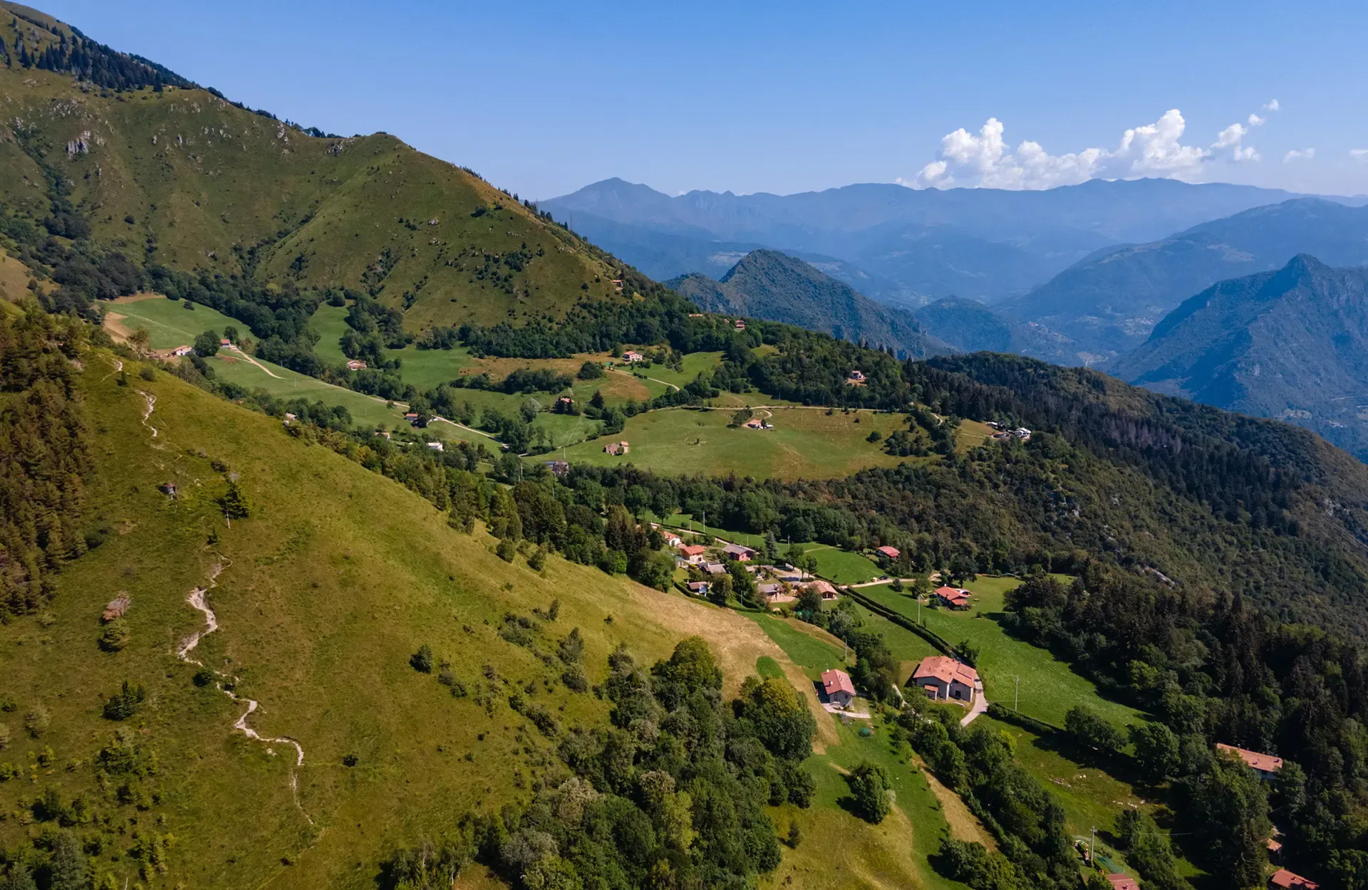
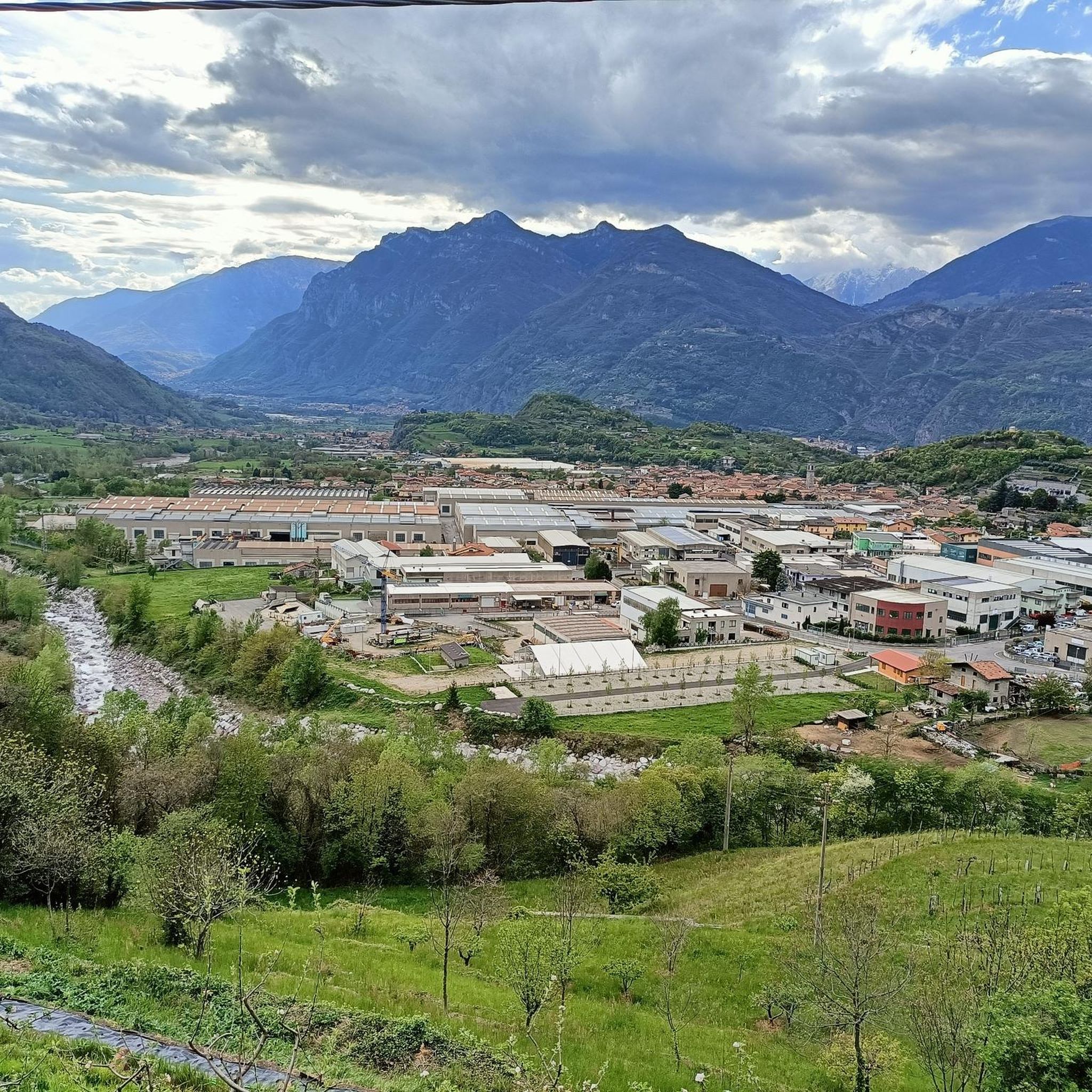
Best mountain passes around Berzo Inferiore are situated in the province of Brescia, within the Val Camonica. This region is characterized by its mountainous terrain, offering access to the Brescia Prealps and views of surrounding valleys. The area provides a natural setting for outdoor activities, with passes connecting different valleys and historical routes. Its location makes it a relevant destination for exploring the natural features of the Italian Alps.
Best mountain passes around Berzo Inferiore
- The most popular mountain passes…
Last updated: June 26, 2026
Passo Crocedomini
Highlight • Mountain Pass
Translated by Google •
Tip by

Passo Maniva, from Bagolino
Highlight • Mountain Pass
Translated by Google •
Tip by

Sign up now to discover places like this
Get recommendations on the best single tracks, peaks, & plenty of other exciting outdoor places.
Sign up for free
Pass of the Seven Crosses
Highlight • Mountain Pass
Translated by Google •
Tip by

Mount Altissimo
Highlight • Summit
Showing Translation
Tip by

Val Fredda Pass
Highlight • Mountain Pass
Translated by Google •
Tip by

Sign up for free to discover even more mountain passes around Berzo Inferiore.
Sign up for free
Already have an account?
Start today with a free account
Your next adventure awaits.
Login or Signup
Popular around Berzo Inferiore

Other adventures around Berzo Inferiore

Tips from the Community

Wonderful pass in the Adamello Park with a view of the Monte Frerone and Cornone di Blumone complex. The trail to reach it from Rifugio Bazena is simple, with no technical sections.
0
0

The Passo di Val Fredda is one of the most important passes in the Adamello on the route from Bazena to Passo della Vacca and Rifugio Tita Secchi.
0
0

The road is not challenging but the satisfaction when you arrive is fantastic, doable even with a regular bike without particular problems.
0
0

Passo di Val Fredda is an alpine pass located at an altitude of 2,329 meters, on the border between the province of Brescia and that of Trento, in the heart of the Adamello group. This passage connects the Valle di Bazena with the wild Val Fredda, offering one of the most evocative landscapes in the Adamello Park. The trail that crosses it, part of the famous Sentiero n. 1 dell'Alta Via dell'Adamello, winds through spectacular granite outcrops and high-altitude meadows that host rare blooms in summer. A place of great historical importance, it still preserves traces of mule tracks and artifacts dating back to the First World War, testifying to the strategic importance these peaks held during the conflict.
0
0
Mount Altissimo is a mountain in the Bergamo Prealps, 1703 m high, located between the lower Val Camonica and the lower Val di Scalve. It is the highest peak of the mountain group that separates these two valleys and overlooks the Borno plateau. Two very different slopes Southern slope: steep, rocky, almost devoid of vegetation, with a difference in altitude of about 1500 m from the Oglio valley floor. Northern slope: gentle slope towards Borno, covered with fir trees and dotted with mountain huts, chalets and ski slopes of the Borno Ski Area. 🚶♂️ Hiking — The main itineraries Mount Altissimo is very popular with hikers thanks to the good network of trails (difficulty E). Here are the best-known and documented routes. 1) From Erbanno – Trail 197 or 155 A steep and challenging itinerary, with a significant difference in altitude. Trail 197: Start: Erbanno (Darfo Boario Terme) Passes through: small church of San Valentino (690 m), Malga Mine, junction with trail 194 From the cross: spectacular view of the lower Val Camonica and Lake Iseo Summit reachable in 15 minutes from the final junction Trail 155 (more direct and strenuous): Difference in altitude: about 1460 m Steep sections, some chains on a slightly exposed traverse Remarkable panorama of the meadows of "Segable" Arrival at the Monte Altissimo refuge and the ski lifts 2) From Gorzone – Trail 154 A wilder route on the south side, with a long and tough climb. 3) From Borno – North slope (ski slope areas) A gentler and more panoramic itinerary, often chosen for loop tours that include refuges, mountain huts and small churches (as in your story). 🏞️ What makes Mount Altissimo special Sharp contrast between the two slopes: one severe and rocky, the other gentle and wooded. Wide panoramas of the lower Val Camonica, Lake Iseo and Presolana. Network of mountain huts and chalets still active in summer. Presence of the Monte Altissimo refuge at the summit, also reached by ski lifts. Possibility of varied loop tours, combining woods, slopes, ridges and small isolated churches.
0
0

wonderful view of the valley below
0
0

A point where the beauty of Valfredda and the peaks that divide Lombardy from Trentino come together in the area corresponding to the Crocedomini Pass.
0
0

A famous pass in the Brescian Pre-Alps, the Crocedomini has a very long history (it is said that Emperor Frederick Barbarossa passed through here in the 12th century) and is almost 1,900 meters above sea level. It represents a real challenge for those who decide to tackle it by bicycle: from Bagolino it is a 22 kilometer climb at an average 5%, while the Breno side is even harder, around 20 kilometers at an average 7.5%. You can also get to Crocedomini in a third way, that is, through the splendid partly dirt road (very simple gravel) that comes from the south, from the Maniva pass.
4
0
Frequently Asked Questions
What kind of terrain can I expect on mountain passes around Berzo Inferiore?
The mountain passes around Berzo Inferiore offer diverse terrain. You'll find challenging climbs on paved roads, such as the route to Passo Maniva, from Bagolino, which features an average gradient close to 10%. There are also light dirt roads and unpaved sections, like the Gravel Road Between Passo Crocedomini and Passo del Maniva, which offers moon-like scenarios at around 2,000 meters above sea level without steep slopes. Expect mountainous environments with green meadows, red rocks, and varied landscapes.
Are there any mountain passes with significant historical importance in the area?
Yes, several passes have historical significance. Passo Crocedomini has a very long history, with legends suggesting Emperor Frederick Barbarossa passed through in the 12th century. The Pass of the Seven Crosses is an ancient road between Val Trompia and Val Grigna, featuring a dry stone wall, seven iron crosses, and a 1688 cippus, steeped in history and local legends. Additionally, the Military Road from Passo Crocedomini to Maniva is a fascinating ancient military road.
What are the best passes for scenic views around Berzo Inferiore?
For expansive and breathtaking views, consider the Campelli Pass, which offers panoramic vistas of both the Scalve Valley and the Camonica Valley, along with views of Cimon della Bagozza and Mengol. Passo Maniva, from Bagolino also rewards the challenging climb with impressive views of the surrounding mountains. The Military Road from Passo Crocedomini to Maniva is also noted for its suggestive and panoramic stretches.
What outdoor activities can I do near these mountain passes?
The region around Berzo Inferiore offers a variety of outdoor activities. You can enjoy road cycling on routes like the 'Bagolino – Passo Crocedomini loop' or explore gravel biking on routes such as the 'Passo Crocedomini – Croce Domini Pass loop'. Hiking is also popular, with trails like the 'Val Grigna Forest Trail to Malga Val Bresciana'. During winter and spring, the Campelli Pass is particularly appealing for ski mountaineering and snow excursions. You can find more details on specific routes in the Road Cycling Routes around Berzo Inferiore, Gravel biking around Berzo Inferiore, and Hiking around Berzo Inferiore guides.
Are there any easy or beginner-friendly mountain passes for cycling or hiking?
While many passes in the region present challenges, the Gravel Road Between Passo Crocedomini and Passo del Maniva is described as a light dirt road that can be tackled with various bicycles, even classic road bikes with appropriate tires, as it does not have steep slopes. This might be a more accessible option for those looking for a less strenuous experience at high altitudes.
What is the best time of year to visit the mountain passes around Berzo Inferiore?
The best time to visit depends on your preferred activities. The Campelli Pass is considered spectacular year-round, offering opportunities for ski mountaineering and snow excursions during winter and spring. For cycling and hiking on the higher passes, late spring through early autumn (roughly May to October) generally offers the most favorable weather conditions, when roads are clear of snow and trails are accessible.
Are there any family-friendly activities or passes suitable for children?
While specific family-friendly passes are not explicitly highlighted, the general mountainous environment with green meadows and opportunities to spot marmots, as mentioned near the Pass of the Seven Crosses, can be enjoyable for families. For easier walks, consider exploring the lower sections of trails or looking for routes specifically marked as 'easy' in the Hiking around Berzo Inferiore guide, such as 'The Guardian of the Trail – Owl Sculpture Bench at Cusen loop from Berzo Inferiore'.
Can I find food and drink options near the mountain passes?
Some passes, like Passo Crocedomini, have huts or restaurants available. However, for higher or more remote passes, it's always advisable to carry your own provisions. For example, the Military Road from Passo Crocedomini to Maniva has limited water sources, though a fountain is noted near the barracks. Always check local availability before heading out.
What should I wear when exploring mountain passes in this region?
Given the varied terrain and elevations up to 2,000 meters, it's crucial to dress in layers. Even in summer, mountain weather can change quickly. Bring waterproof and windproof outer layers, sturdy hiking or cycling shoes, and consider sun protection. For winter excursions, crampons and appropriate snow gear are essential, as noted for the Pass of the Seven Crosses during colder periods.
Are there any specific challenges or difficulties to be aware of on these passes?
Yes, many passes in the region are known for their challenging nature. For cyclists, the climb to Passo Maniva, from Bagolino, is particularly demanding with an average gradient close to 10% over 10 km, reaching up to 15% in the final kilometers. Passo Crocedomini also presents a significant challenge for cyclists, especially from the Breno side with an average 7.5% gradient over 20 km. Some unpaved roads can also be washed out, requiring suitable tires or a gravel bike.
What makes the Campelli Pass a notable destination?
The Campelli Pass, situated at 1,889 meters, is notable for its expansive views of both the Scalve Valley and the Camonica Valley. It's accessible from Ono San Pietro in Val Camonica and offers a natural playground for outdoor enthusiasts. Beyond its picturesque landscapes, it's particularly appealing for ski mountaineering and snow excursions during winter and spring, and provides views of Cimon della Bagozza and Mengol.
Most popular routes around Berzo Inferiore
Most popular attractions around Berzo Inferiore

Get inspired with the komoot mobile app


Explore more
See even more epic mountain passes by checking out these guides around Berzo Inferiore:
