The best walks and hikes around Ruhwinkel
4.5
(3158)
10,173
hikers
18
hikes
Hiking around Ruhwinkel offers diverse natural landscapes characterized by picturesque lakes, rolling hills, and dense forests. The region is nestled within the Plön district, providing a scenic backdrop for outdoor activities. Notable features include the Großer Plöner See and the nearby Holstein Switzerland Nature Park, which contribute to a varied terrain suitable for exploration.
Best hiking trails around Ruhwinkel
- The most popular hiking route is Fish ponds at Dieksee – View of the Schmalensee loop from Ruhwinkel, a 7.1…
Last updated: October 8, 2026
4.6
(129)
383
hikers
Moderate hike. Good fitness required. Easily-accessible paths. Suitable for all skill levels.
4.7
(7)
34
hikers
Easy hike. Great for any fitness level. Easily-accessible paths. Suitable for all skill levels.

5.0
(5)
18
hikers
Easy hike. Great for any fitness level. Easily-accessible paths. Suitable for all skill levels.
4.8
(4)
21
hikers
5.67km
01:28
30m
30m
Easy hike. Great for any fitness level. Easily-accessible paths. Suitable for all skill levels.
4.8
(4)
22
hikers
Easy hike. Great for any fitness level. Easily-accessible paths. Suitable for all skill levels.
Get access to more routes and recommendations from other explorers.
Already have an account?
Our route recommendations are based on thousands of hikes, rides, and runs completed by other people on komoot.
Start today with a free account
Your next adventure awaits.

Tips from the Community

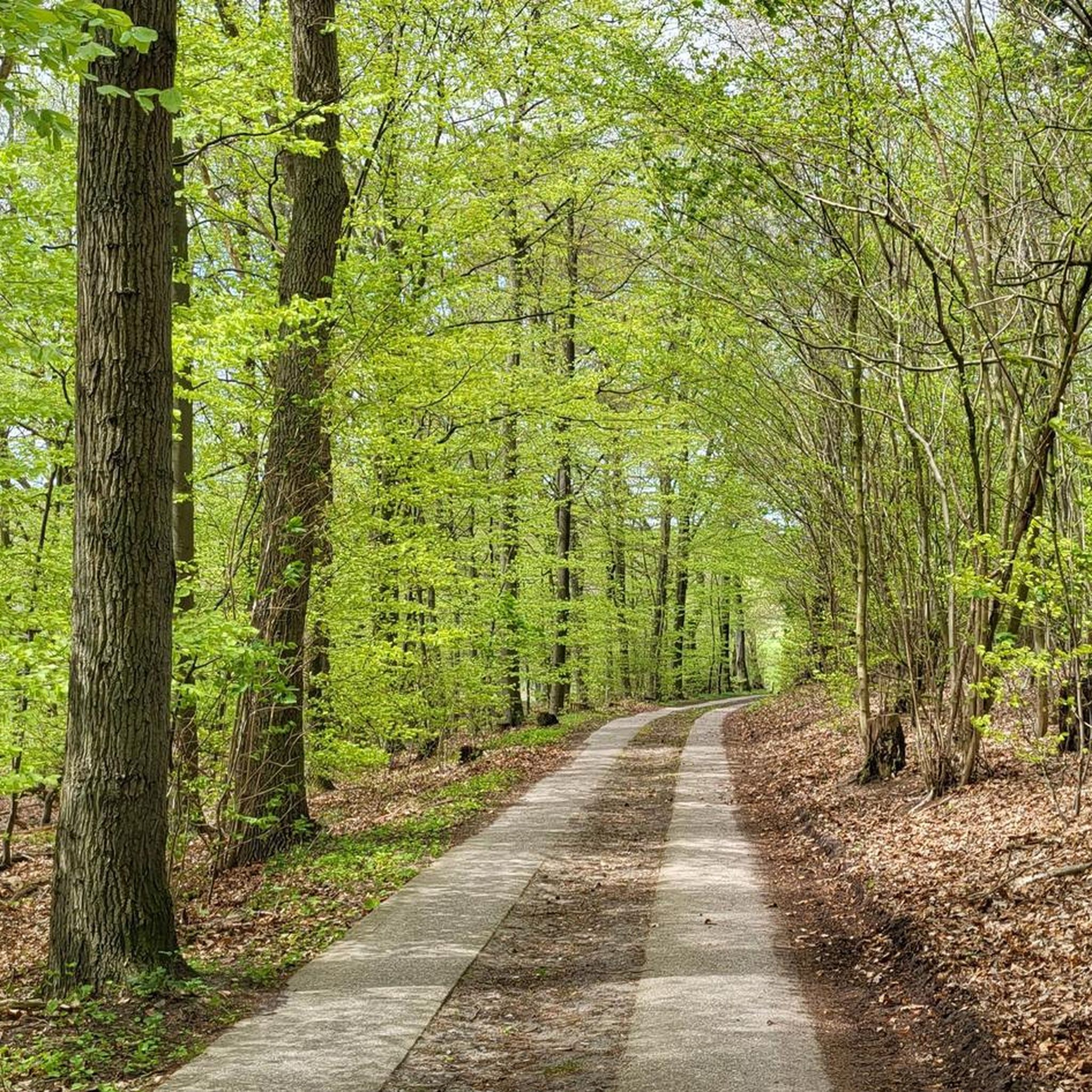
Although the Perdöler Weg is a paved road, the view of this beautiful avenue is truly a postcard.
3
0
The glassworks and brickworks in Ruhwinkel consumed vast quantities of wood until the 19th century, creating large open spaces that were later sustainably reforested by Holten Fürchtegott and Magdalene von Trepka. Today, these forests serve both forestry and nature conservation, providing habitat for animals and plants, and continue to provide important data for environmental and climate research.
2
0
From the slightly elevated Belauer Straße you have a certain view of the lake.
1
0
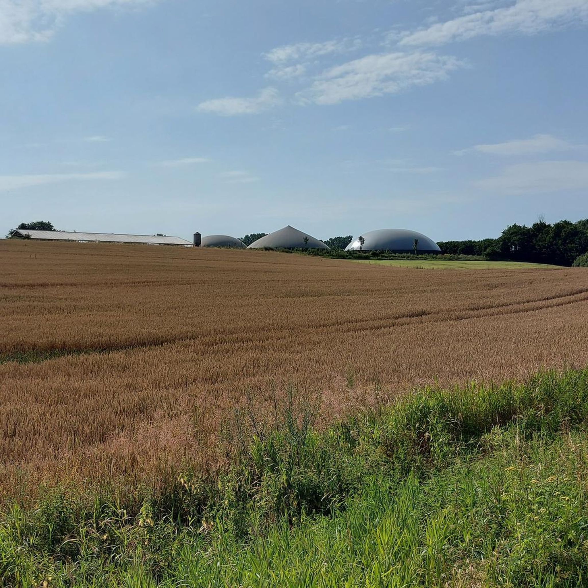
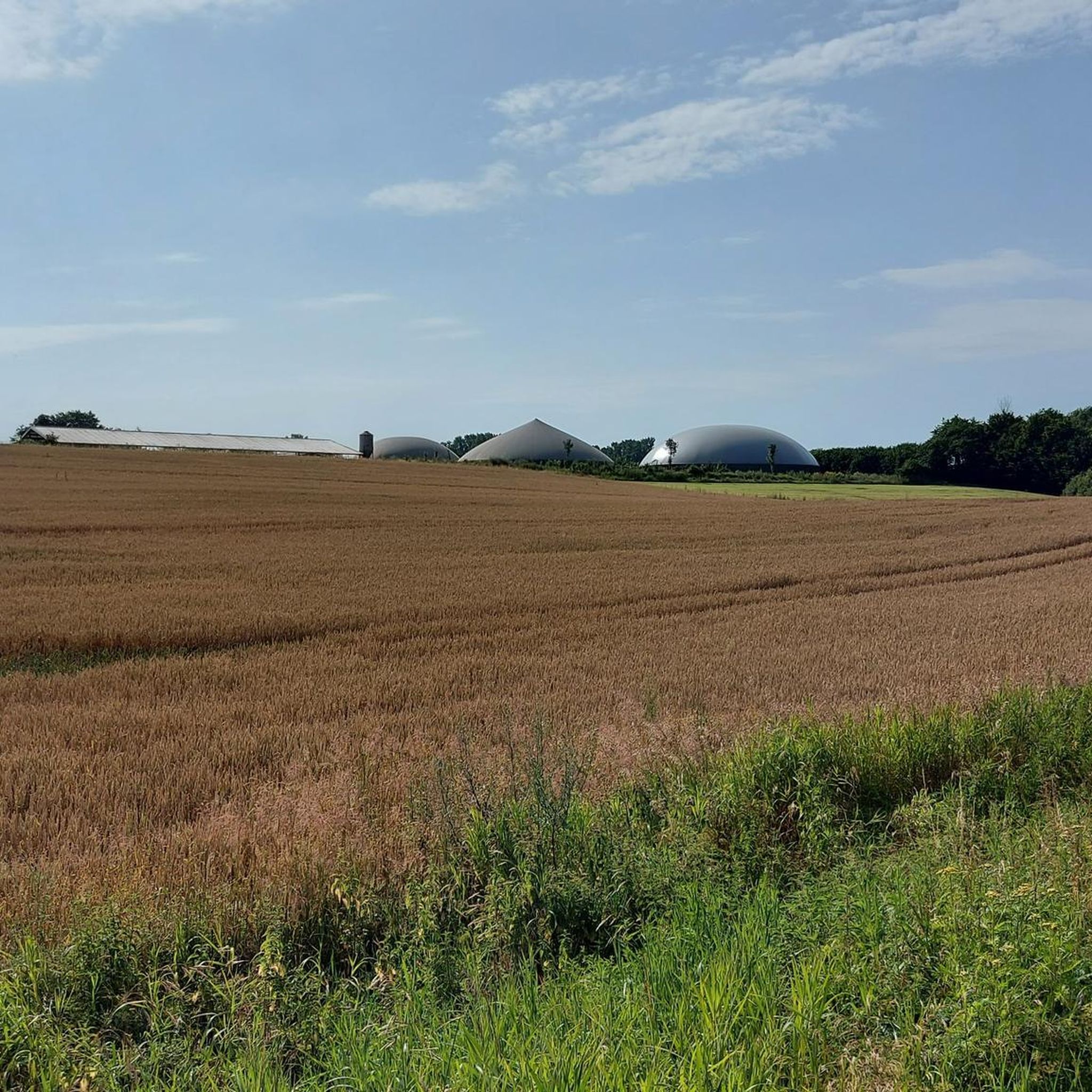
A wooden cross, approximately 3 meters tall, stands here on a raised meadow near Vierer Weg. From here, you have a wonderful view over Lake Schmalensee.
3
0
Information board: "To distract themselves from the arduousness of the walk, there was a lot of singing, storytelling, and teasing along the way. For the children and young people, the walk was a part of their leisure time, because once they got home, they were firmly integrated into the family's daily routine and work routine. These footpaths were chosen so that they could be used in all seasons; without leaving too many marks on shoes and clothes. These had to be cared for at all times, as funds for new clothing were limited. While routes 1, 2, and 3 primarily took children to the Lütt and Grootschools, route 4 takes a shortcut towards Altekoppel and the swimming area. The narrow path no. 6 on the back of the Vierer Berg shortened the route via the "Stech" to Belau or the former Schönböken train station."
2
0
The Hollenbek River rises in Mißmaaßen. This is notable because the Drögen Eider River rises 500 meters further west. Thus, this is where the boundary between the North Sea and Baltic Sea drainages runs.
2
0
The riverside path through the mixed forest is very pleasant to walk on. The proximity to the riverbank is barely noticeable in summer, as the undergrowth almost completely blocks the view. The large oak trees are striking, indicating the path's great age.
1
1
The view of the lake from this lakeside path is very limited in summer. Nevertheless, the path is pleasantly walkable. The large ancient oak trees are striking, indicating the path's great age.
1
1
Frequently Asked Questions
What is the general difficulty level of hiking trails in Ruhwinkel?
Ruhwinkel offers a diverse range of hiking trails suitable for various abilities. Out of the 16 available routes, 11 are classified as easy, and 5 are moderate. This means you'll find plenty of options for relaxed strolls as well as slightly more challenging excursions through the region's picturesque landscapes.
Are there any family-friendly hiking options in Ruhwinkel?
Yes, Ruhwinkel is a great destination for families. Many of the trails are easy, making them suitable for all ages. For example, the Bathing area at Schierensee loop from Ruhwinkel is an easy 3.3-mile (5.3 km) path with gentle terrain. Additionally, the historic Emkendorf Estate, located nearby, offers leisurely walking paths through old avenues and gardens, complete with an adventure playground and petting enclosure for children.
What natural features or landmarks can I expect to see while hiking in Ruhwinkel?
Ruhwinkel is rich in natural beauty, characterized by its numerous lakes, rolling hills, and dense forests. You can explore highlights such as the Nehmtener Forest Lakeside Trail on the Großer Plöner See (Lake Plön) or enjoy views of the Großer Plöner See and its islands. Other notable natural monuments include the Kattholz Oak and the Tarbeker Moor.
What is the best time of year to go hiking in Ruhwinkel?
The best seasons for hiking in Ruhwinkel are spring and autumn. In spring, the landscape bursts into full bloom, offering vibrant colors and fresh air. Autumn transforms the forests with a spectacular array of colorful leaves, creating a truly picturesque setting for your walks.
Are there any circular hiking routes available in Ruhwinkel?
Yes, many of the trails in Ruhwinkel are designed as loops, offering convenient circular routes. Examples include the Fish ponds at Dieksee – View of the Schmalensee loop from Ruhwinkel, which is a moderate 7.1-mile (11.3 km) trail, and the easy Bathing area at Schierensee – Mixed Forest Trail loop from Ruhwinkel.
What do other hikers enjoy most about the trails in Ruhwinkel?
The hiking trails in Ruhwinkel are highly rated by the komoot community, with an average score of 4.6 stars from over 100 reviews. Hikers frequently praise the diverse natural landscapes, particularly the picturesque lakes and rolling hills, as well as the well-maintained paths that cater to various ability levels.
Are there any trails that offer views of the Großer Plöner See?
Yes, the Großer Plöner See, one of Schleswig-Holstein's largest lakes, is a prominent feature of the region. Many trails offer stunning views of its sparkling waters. You can find specific viewpoints like the View of the Großer Plöner See and its islands, and explore sections like the Nehmtener Forest Lakeside Trail on the Großer Plöner See.
What kind of terrain can I expect on Ruhwinkel's hiking trails?
The terrain around Ruhwinkel is characterized by a mix of rolling hills, dense forests, and lakeside paths. While some routes feature gentle, easy-going surfaces, others might involve slight inclines and varied forest floors. The region is part of the Holstein Switzerland Nature Park, known for its undulating landscape.
Are there any historical sites or cultural attractions near the hiking routes?
Beyond the natural beauty, you can find cultural attractions nearby. Just a few kilometers from Ruhwinkel, Eutin Castle, an 18th-century historical landmark, offers a museum and impressive gardens for a cultural diversion after your hike.
How long do the hikes in Ruhwinkel typically take?
The duration of hikes in Ruhwinkel varies depending on the route and your pace. Easy trails like the Bathing area at Schierensee loop from Ruhwinkel can be completed in about 1 hour 20 minutes. Longer, moderate routes such as the Fish ponds at Dieksee – View of the Schmalensee loop from Ruhwinkel typically take around 3 hours.
Can I find trails that lead through mixed forests?
Yes, Ruhwinkel's landscape includes dense forests, and you can certainly find trails that wind through them. The Bathing area at Schierensee – Mixed Forest Trail loop from Ruhwinkel is a great example, offering a 4.7-mile (7.5 km) route through a mixed forest environment.
Most popular routes around Ruhwinkel
Most popular attractions around Ruhwinkel

Get inspired with the komoot mobile app


Explore more
Browse the best Hikes in other regions.
