The best running trails around Grimacco
4.2
(60)
2,117
runners
134
runs
Jogging around Grimacco offers a diverse landscape characterized by its hilly terrain and dense woodlands, providing a challenging yet rewarding experience for runners. The region features significant elevation changes, with routes ascending into mountainous areas, offering panoramic views. Many trails wind through natural forests and past historical sites, making for varied running experiences.
Best jogging routes around Grimacco
- The most popular jogging route is Mount Nachnoi – Kolovrat Open-Air Museum loop from Grimacco, a 16.2 miles (26.0 km) trail…
Last updated: October 9, 2026
12
runners
12.5km
01:18
80m
80m
Moderate run. Good fitness required. Mostly paved surfaces. Suitable for all skill levels.
8
runners
10.6km
01:39
660m
660m
Hard run. Very good fitness required. Sure-footedness, sturdy shoes and alpine experience required.

5
runners
3.04km
00:39
300m
300m
Hard run. Good fitness required. Sure-footedness, sturdy shoes and alpine experience required.
5.0
(1)
13
runners
7.83km
01:07
310m
310m
Hard run. Very good fitness required. Mostly paved surfaces. Suitable for all skill levels.
10
runners
11.9km
02:25
870m
870m
Hard run. Very good fitness required. Sure-footedness, sturdy shoes and alpine experience required.
Get access to more routes and recommendations from other explorers.
Already have an account?
Our route recommendations are based on thousands of hikes, rides, and runs completed by other people on komoot.
Start today with a free account
Your next adventure awaits.
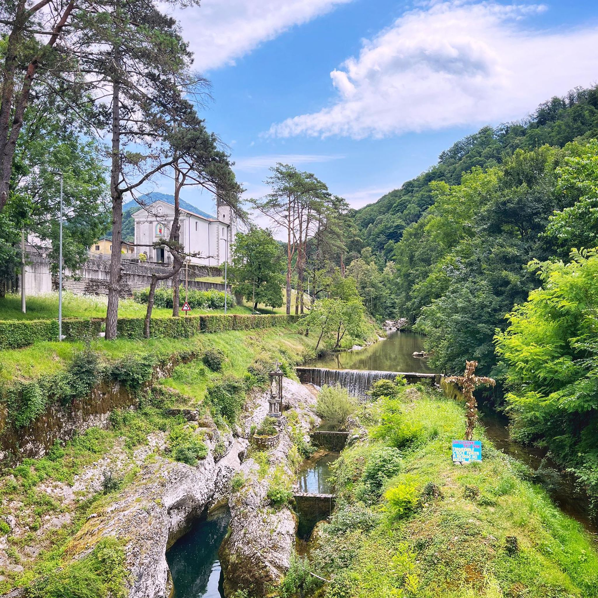
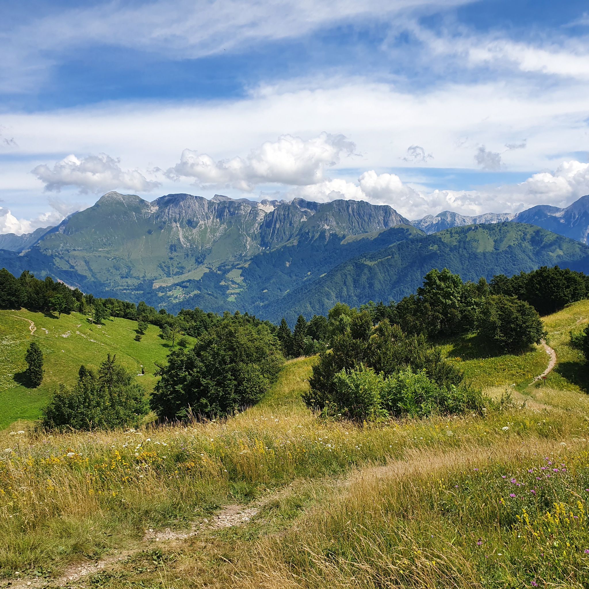
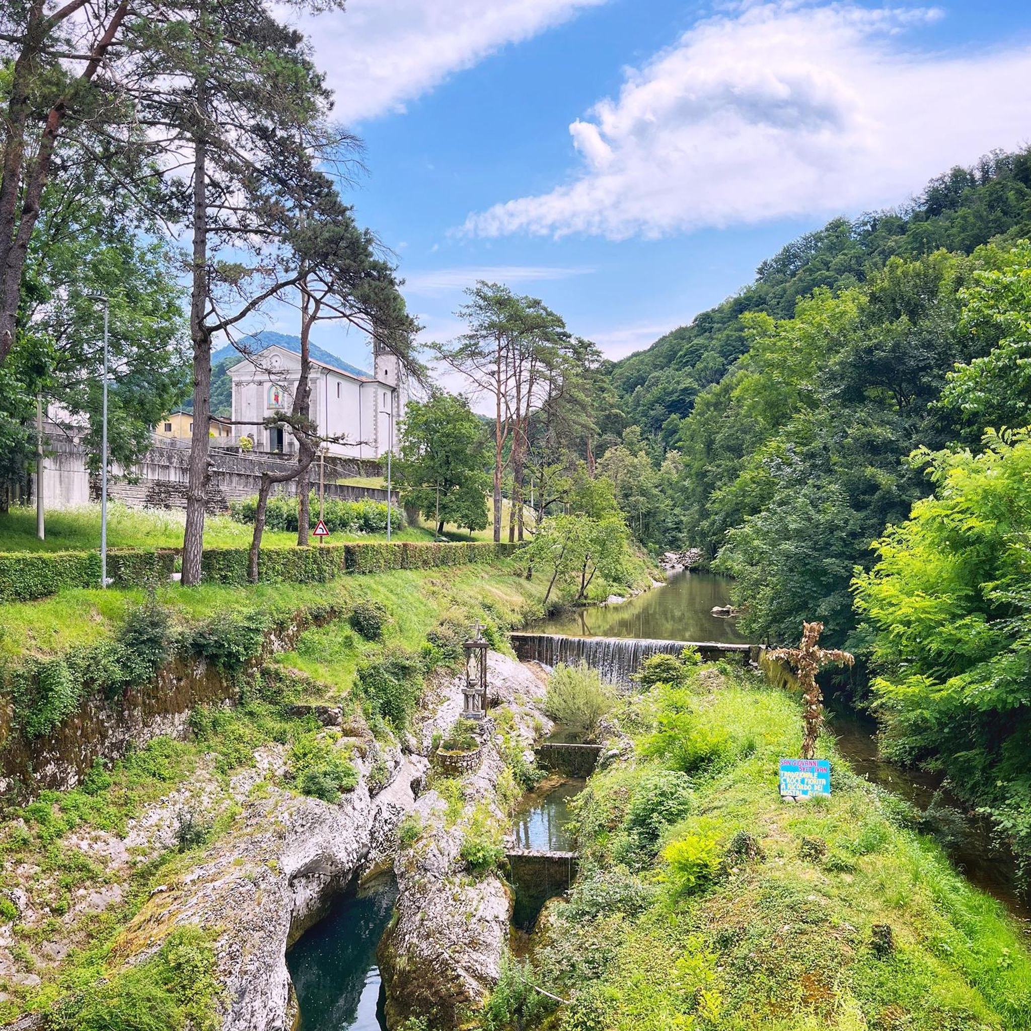
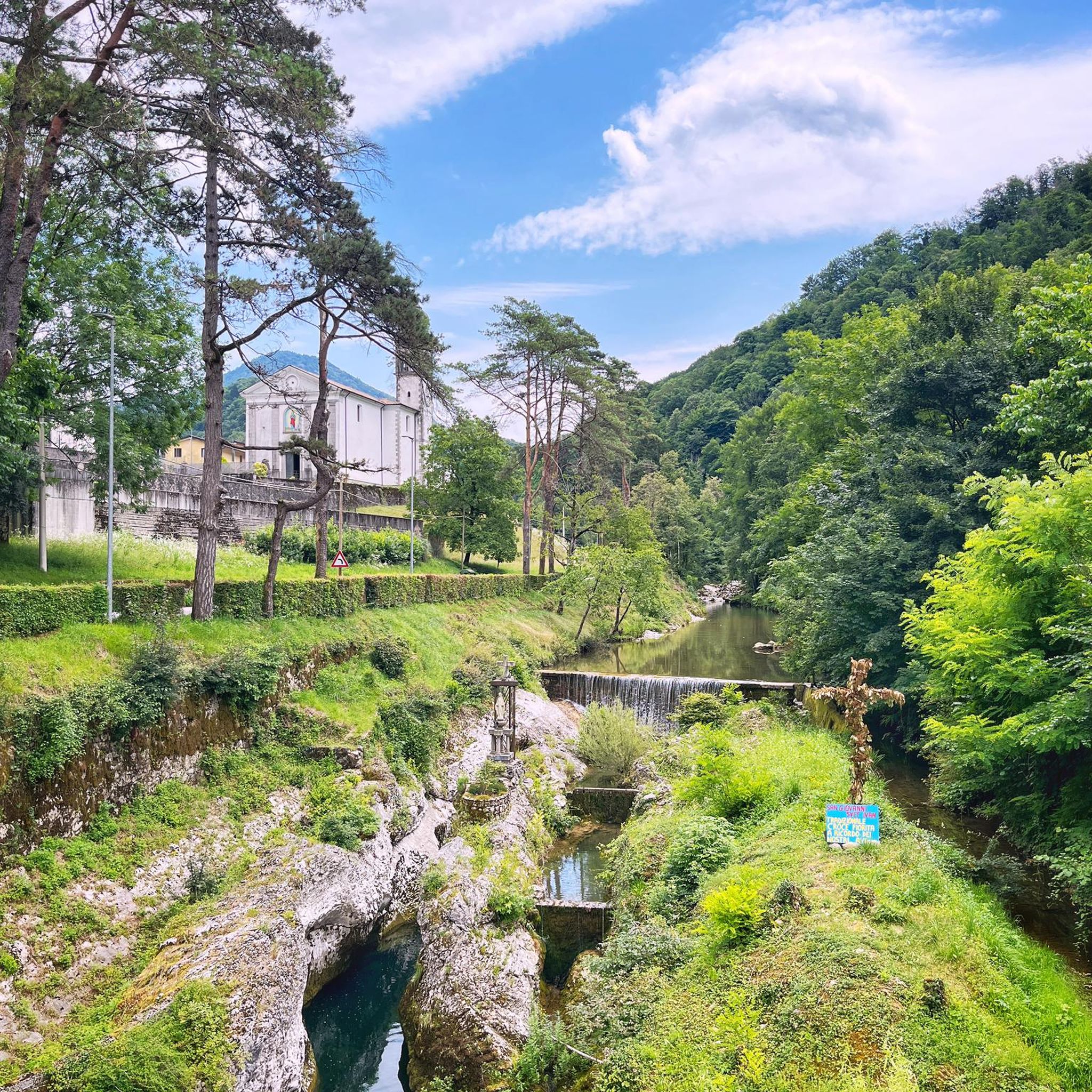


Tips from the Community

🪑 Panoramic bench on the border ridge The bench is located on the ridge east of the summit, near Glava (1519 m), exactly on the Italian-Slovenian border. The view looks south over the Natisone valleys and the Friulian plain to the Gulf of Trieste, about 50 km away. In clear weather, the lagoon of Grado and the coast towards Trieste can be seen, and to the west, the hills of Cividale and Udine. A perfect spot for the first break after the descent.
0
0

A great mountain hut with a platform terrace offering sensational panoramic views all the way to the Gulf of Trieste. In addition, there are panoramic views to the southeast towards Slovenia.
1
0

This mountain is part of the Mia-Lubia-Matajur anticline, a transition area between the Southern Alps and the Dinarides, with sedimentary formations from the Lias (Jurassic) to the Upper Cretaceous, which were deposited between 212 and 65 million years ago. Due to its location (summit at 1641 m above sea level), alpine, Balkan and sub-Mediterranean flora meet and merge here. Above 1300 meters, the landscape offers wide, little-grazed meadows with natural primary herbaceous species that have grown after the removal of the original beech forests.
0
0
Very nice accommodation below the Matajur (1645m).
0
0

Near the Solarie Pass border crossing, at an altitude of 960 meters, stands this stele commemorating Riccardo Giusto. He is considered the first of approximately 650,000 Italian soldiers to die during the First World War.
0
0
A former border station, a classic example of modern architecture, having become obsolete due to the expansion of EU member states. On the Italian side, the border building is very well preserved and used by the Alpini (Italian mountain troops), while the Slovenian building is dilapidated. On the Italian side, there is also a monument to a distinguished Alpini soldier.
0
0
The entire Kolovrat Ridge was a theater of World War I. At 1,115 meters above sea level, the "Third Italian Defense Line" was established, which played a key role during the Battle of the Isonzo. Many of the paths and positions have been restored to their original condition, so that the trenches, positions, and fortifications now form a free, accessible open-air museum for everyone. The open-air museum also features a small hill serving as a viewing platform. From here, breathtaking views of the valley to Tolmin, the Soca River, and the surrounding mountains are offered.
0
0

The walk around the two peaks is very rewarding. The views are magnificent in all directions.
0
0
Frequently Asked Questions
How many running routes are available in Grimacco?
Grimacco offers a wide selection of running trails, with over 100 routes documented on komoot. These range from moderate loops to challenging mountain ascents, catering to various fitness levels.
Are there any easy running routes suitable for beginners in Grimacco?
While Grimacco is known for its challenging, hilly terrain, there are a few easier options. You can find approximately 7 routes classified as 'easy' on komoot, which are a good starting point for beginners or those looking for a less strenuous run.
What kind of terrain can I expect on Grimacco's jogging trails?
The running trails in Grimacco are characterized by hilly terrain and dense woodlands. You'll encounter significant elevation changes, with many routes ascending into mountainous areas, offering panoramic views. Trails often wind through natural forests and past historical sites.
Are there any circular running routes in Grimacco?
Yes, many of Grimacco's running routes are designed as loops. For example, the Running loop from Drenchia is a popular moderate option, and the challenging Mount Nachnoi – Kolovrat Open-Air Museum loop from Grimacco also offers a circular experience.
Can I bring my dog on the running trails in Grimacco?
Generally, dogs are welcome on the natural trails in Grimacco. However, it's always recommended to keep your dog on a leash, especially in areas with wildlife or near livestock, and to clean up after them to preserve the natural environment for everyone.
What are some points of interest or natural attractions I might see while running in Grimacco?
Grimacco's routes often pass through scenic natural areas. You might encounter beautiful waterfalls like Veliki Kozjak Waterfall or Little Koziak Waterfall. Some trails also lead to summits offering expansive views, such as Krn (2,244 m) or the Chapel of Christ the Redeemer on Monte Matajur Summit.
Are there any running routes that offer views of lakes or rivers?
While Grimacco itself is more mountainous, some routes in the broader region might offer glimpses of nearby water bodies. You can find highlights like the Crystal-Clear Pool at Koziak Waterfall or the Jezero v Lužnici — Lake with World War I remains, which are accessible from some of the wider trail networks.
What do other runners say about the trails in Grimacco?
The running routes in Grimacco are highly regarded by the komoot community, holding an average rating of 4.2 stars from over 40 reviews. Runners frequently praise the challenging mountain trails, the beauty of the forested paths, and the significant elevation changes that make for a rewarding experience.
Are there any particularly challenging running routes for experienced runners?
Grimacco is ideal for experienced runners seeking a challenge. Many routes feature substantial climbs and rugged mountain paths. The Third Triajur Stage loop from Savogna, for instance, is an 8.8-mile difficult path with significant elevation gain, perfect for pushing your limits.
Is parking generally available near the trailheads in Grimacco?
In the rural and mountainous areas around Grimacco, parking is typically available in small village centers or designated spots near popular trailheads. It's advisable to check specific route descriptions for details on parking availability at the starting point.
What is the best time of year to go jogging in Grimacco?
The best time for jogging in Grimacco is generally during spring, summer, and early autumn when the weather is milder and trails are clear. The dense woodlands provide shade in summer, while spring and autumn offer vibrant foliage. Winter running can be challenging due to snow and ice at higher elevations.
Are there any running routes that pass through historical sites?
Yes, Grimacco's region is rich in history. The Mount Nachnoi – Kolovrat Open-Air Museum loop from Grimacco is a prime example, taking you through historical landscapes and past remnants of past conflicts, offering a unique blend of nature and history.
Most popular routes around Grimacco
Most popular attractions around Grimacco

Get inspired with the komoot mobile app


Explore more
Browse the best Running Trails & Routes in other regions.
