The best mountain hikes around Grimacco
5.0
(16)
125
hikers
7
hikes
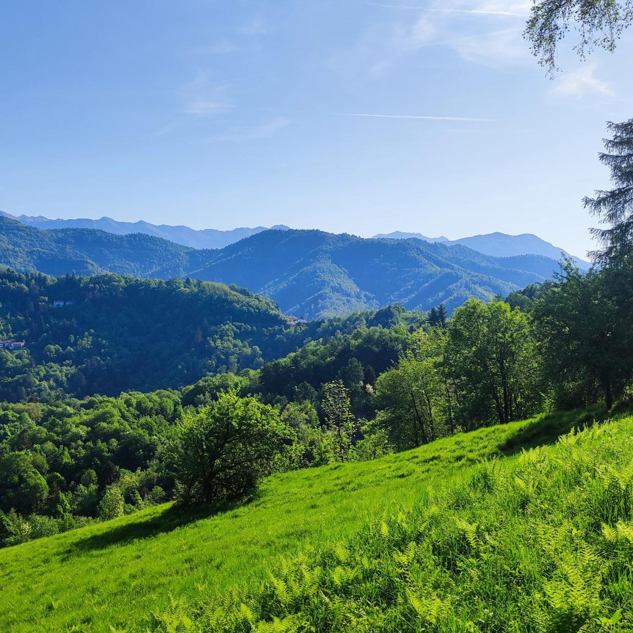
Mountaineering routes Grimacco are situated within the dramatic mountainous landscape of the Julian Pre-Alps, in Italy's Friuli-Venezia Giulia region, near the Slovenian border. The area is characterized by rugged terrain and impressive peaks, including the prominent Mt. Mataiur. The municipality is nestled in the upper valley of the Cosizza river, offering a blend of alpine and river valley environments for outdoor exploration. This region provides a diverse range of challenging ascents and scenic trails for mountaineers.
Best mountaineering routes around…
Last updated: October 9, 2026
4.9
(8)
57
hikers
14.2km
06:59
1,290m
1,290m
Hard mountaineering route. Very good fitness required. Sure-footedness, sturdy shoes and alpine experience required.
5.0
(7)
47
hikers
11.5km
05:51
1,210m
1,210m
Hard mountaineering route. Very good fitness required. Mostly accessible paths. Sure-footedness required.

5.0
(1)
7
hikers
11.6km
05:22
840m
840m
Hard mountaineering route. Very good fitness required. Mostly accessible paths. Sure-footedness required.
8
hikers
3.51km
01:49
300m
300m
Moderate mountaineering route. Good fitness required. Mostly accessible paths. Sure-footedness required.
3
hikers
4.91km
02:14
310m
310m
Moderate mountaineering route. Good fitness required. Mostly accessible paths. Sure-footedness required.
Get access to more routes and recommendations from other explorers.
Already have an account?
Our route recommendations are based on thousands of hikes, rides, and runs completed by other people on komoot.
Start today with a free account
Your next adventure awaits.

Tips from the Community

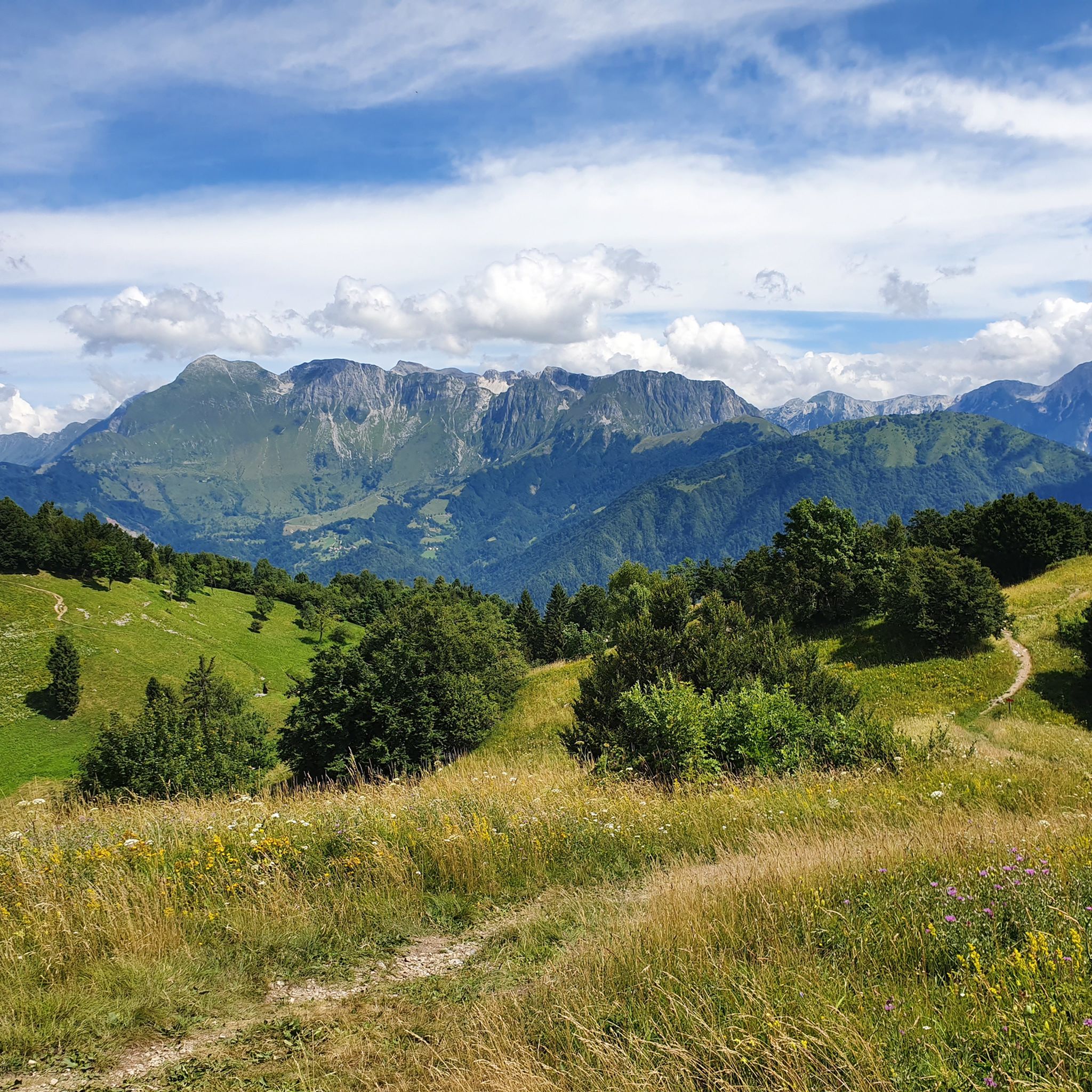
🪑 Panoramic bench on the border ridge The bench is located on the ridge east of the summit, near Glava (1519 m), exactly on the Italian-Slovenian border. The view looks south over the Natisone valleys and the Friulian plain to the Gulf of Trieste, about 50 km away. In clear weather, the lagoon of Grado and the coast towards Trieste can be seen, and to the west, the hills of Cividale and Udine. A perfect spot for the first break after the descent.
0
0

A great mountain hut with a platform terrace offering sensational panoramic views all the way to the Gulf of Trieste. In addition, there are panoramic views to the southeast towards Slovenia.
1
0

This mountain is part of the Mia-Lubia-Matajur anticline, a transition area between the Southern Alps and the Dinarides, with sedimentary formations from the Lias (Jurassic) to the Upper Cretaceous, which were deposited between 212 and 65 million years ago. Due to its location (summit at 1641 m above sea level), alpine, Balkan and sub-Mediterranean flora meet and merge here. Above 1300 meters, the landscape offers wide, little-grazed meadows with natural primary herbaceous species that have grown after the removal of the original beech forests.
0
0
Very nice accommodation below the Matajur (1645m).
0
0

Before the summit of Krn there is a flock of sheep. The ram is aggressive or defensive (without it being necessary). We had to cross the flock and tried to make an arc around the flock. But the ram gathered some animals around it that growled and followed us and nipped at our heels. It was very threatening.
0
0

Great hut with very friendly staff. I had delicious food here and spent a pleasant night in the camp. Everything was super clean. I felt very welcome.
0
0

A beautifully located hut. For our group, we only had Jota or minestrone, with or without sausage. It was plentiful and delicious. Cold drinks were also available.
0
0

The top of Mount Nero, highly panoramic. The view extends over the Kobarid valley, the Julian Alps and Prealps, the Triglav mountain range and the Triglav National Park.
0
0
Frequently Asked Questions
How many mountaineering routes are available in Grimacco?
There are over 7 mountaineering routes around Grimacco, offering a variety of experiences for different skill levels. You'll find a mix of moderate and difficult trails to explore the Julian Pre-Alps.
What are the typical difficulty levels for mountaineering in Grimacco?
Mountaineering routes in Grimacco range from moderate to difficult. You'll find 4 moderate routes, suitable for those with good fitness, and 3 difficult routes that require more alpine experience and sure-footedness, often involving significant elevation gain.
What kind of terrain can I expect on Grimacco's mountaineering routes?
The terrain around Grimacco is characteristic of the Julian Pre-Alps, featuring rugged landscapes, impressive peaks, and scenic river valleys like the Val Cosizza. Routes often involve rocky paths, forest trails, and ascents to prominent mountains such as Mt. Mataiur.
Are there any routes that include via ferrata sections?
Yes, for those seeking a more technical challenge, the Krn Peak – Silva Koren Via Ferrata loop from Gregorčič waterfall is a difficult route that involves a via ferrata, requiring alpine experience and specialized equipment.
What natural features or landmarks can I see while mountaineering in Grimacco?
The region offers stunning natural beauty. You can encounter the dramatic landscapes of the Julian Pre-Alps, the picturesque Val Cosizza, and prominent peaks like Mt. Mataiur. Nearby attractions include the beautiful Crystal-Clear Pool at Koziak Waterfall and various lakes such as Jezero v Lužnici.
Are there any historical sites along the mountaineering trails?
Yes, the region has historical significance, particularly from World War I. Some trails, like those leading to Tribil Superiore, follow sections of the historic Peace Trail and may include trenches and tunnels, offering a blend of physical challenge and historical immersion.
What do other mountaineers enjoy most about the routes in Grimacco?
The mountaineering routes in Grimacco are highly rated by the komoot community, with an average score of 4.9 stars. Reviewers often praise the breathtaking panoramic views of the Alpine peaks, the challenging ascents, and the diverse natural environment.
Are there any circular routes for mountaineering in Grimacco?
Yes, several routes offer a circular experience. For example, the Krn Peak – Mt. Batognica Summit (2164 m) loop from Gregorčič waterfall and the Monte Matajur loop from Avsa are popular circular options.
Can I find any caves near the mountaineering routes?
Yes, the area around Grimacco is known for its caves. Notable examples include Duga Baba and Zadlaška Cave and the San Giovanni d'Antro Cave and Church, which offer additional exploration opportunities.
What is the best time of year for mountaineering in Grimacco?
The Julian Pre-Alps offer varied conditions. While specific recommendations depend on the route's elevation and exposure, generally, late spring to early autumn provides the most favorable weather for mountaineering, avoiding heavy snow and ice at higher altitudes.
Are there any shorter, moderate mountaineering options for a quicker trip?
Yes, if you're looking for a shorter, moderate experience, consider routes like the View of the Mountains – Monte Matajur loop from Matajur. This route is about 5.2 km long and can be completed in a few hours, offering beautiful views without the full-day commitment of more difficult trails.
Most popular routes around Grimacco
Most popular attractions around Grimacco

Get inspired with the komoot mobile app


Explore more
Browse the best Mountain Hikes & Routes in other regions.
